












Curated by Sterzing
Vipiteno/Sterzing
A Wipptal market town of arcaded streets below the Torre delle Dodici, with the Monte Cavallo lifts above.
- 4Highlights
- 50Routes
- Featured summit · Rosskopf
Highlights
11 from neighbouring places
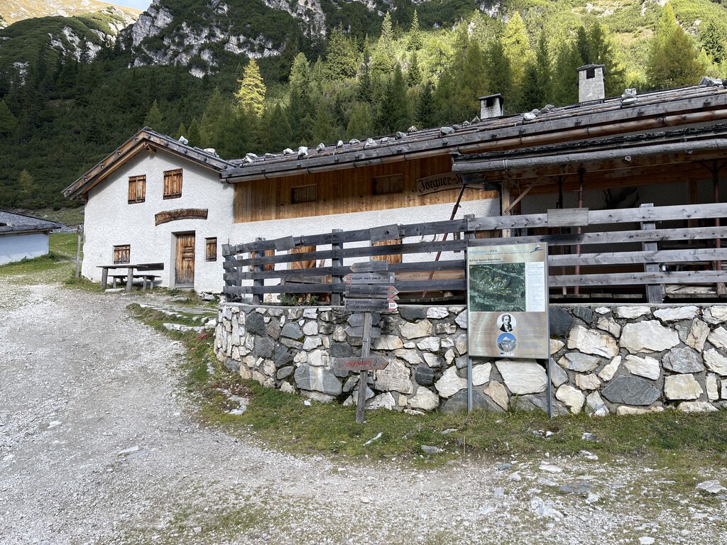
Jörgnerkaser
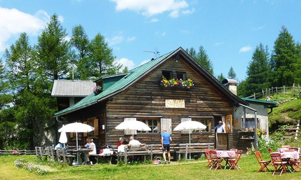
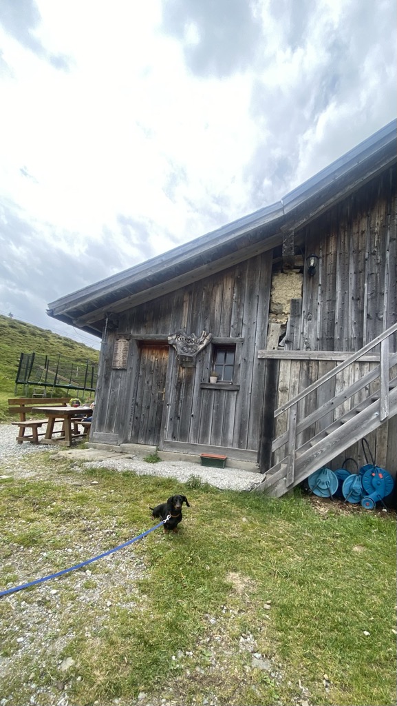
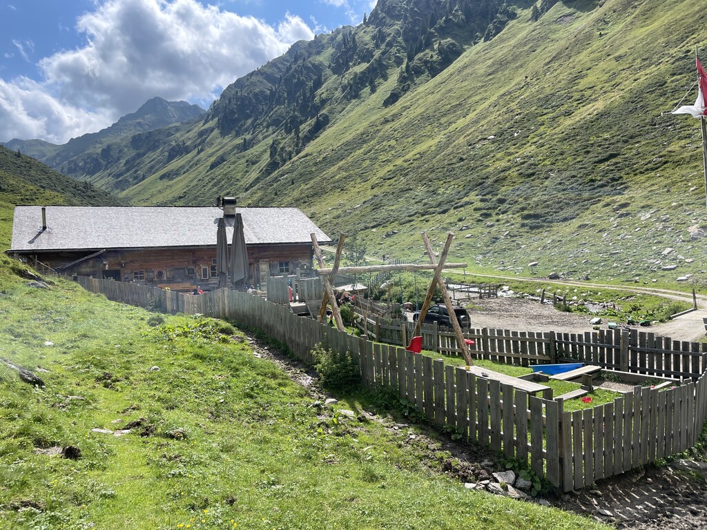
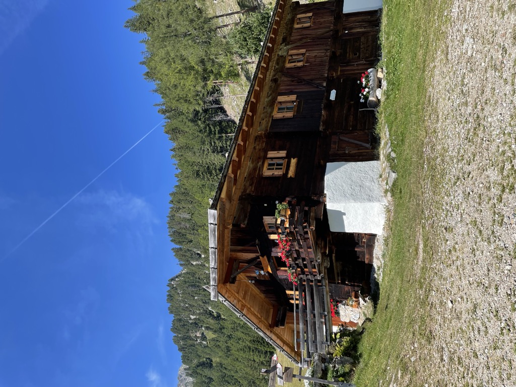
A dairy hut on the pastures above Vipiteno, in the upper Val Isarco.
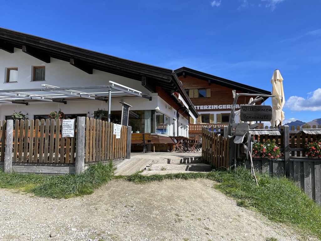
Panorama-Restaurant Sterzingerhaus
A mountain restaurant on Monte Cavallo above Vipiteno, at the top of the cable car from the town.
Sternhütte
A hut on the pastures above Vipiteno, reached on foot from the side valleys that ring the town.
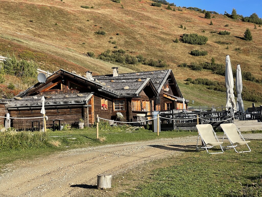
Walterkaser
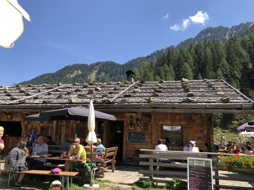
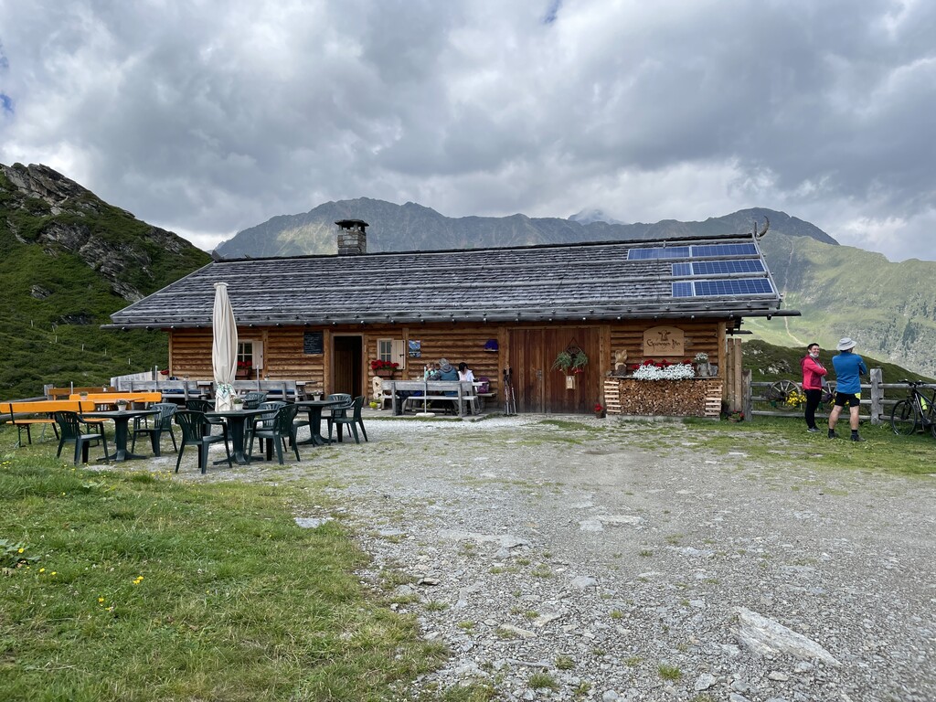
A dairy hut on the grazing slopes above Vipiteno, in the upper Val Isarco near the Brenner.
Sterzing, Pfitsch und FreienfeldRifugio Stella Alpina
4.4 km away, in Brennero/Brenner
A former dairy hut turned mountain inn on the pastures above Colle Isarco, on the Italian side of the Brenner pass.
Rifugio Gallina
5.7 km away, in Brennero/Brenner
A mountain inn on the slopes of Monte Gallina, the Hühnerspiel, above Colle Isarco in the comune of Brennero.
malga Allriss
7.7 km away, in Brennero/Brenner
A dairy hut in the Val di Fleres, in the comune of Brennero, on the way in to the Tribulaun peaks on the Austrian border.
Sterzing, Pfitsch und FreienfeldMalga Bergalm
8.9 km away, in Racines/Ratschings
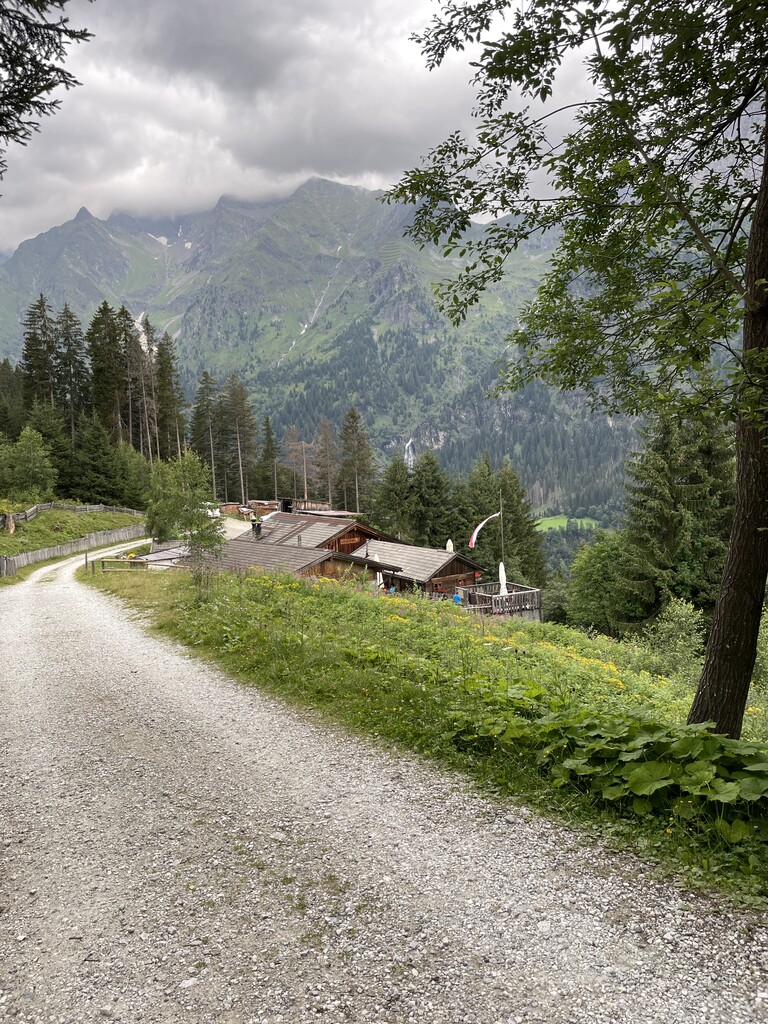
A dairy hut on the high pastures above Racines, in the Stubai Alps north of the Val d'Isarco.
Sterzing, Pfitsch und FreienfeldMalga Untere Gewingesalm
10.3 km away, in Racines/Ratschings
The lower of the two Gewinges dairy huts above Racines, on the pastures of the Ratschings valley.
Sterzing, Pfitsch und FreienfeldMalga Rinneralm
10.3 km away, in Racines/Ratschings
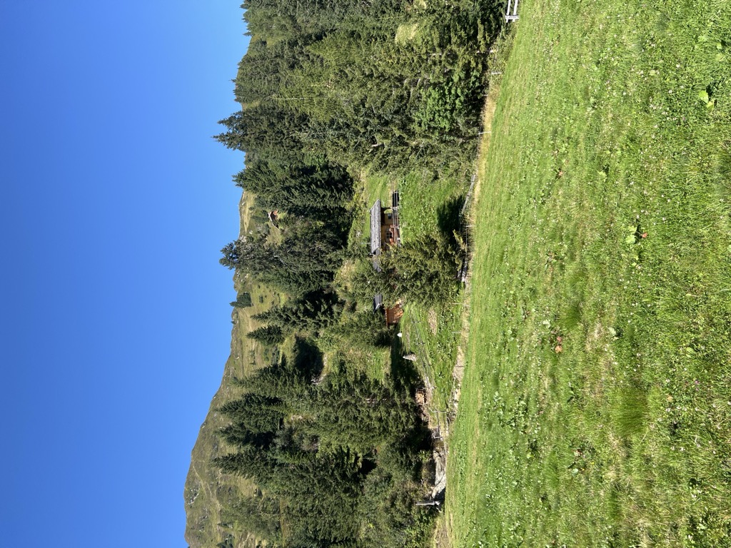
A working dairy on the Rinner pastures above Racines, reached by track from the valley below.
Sterzing, Pfitsch und FreienfeldMalga Valtiglalm
10.4 km away, in Racines/Ratschings
A dairy hut on the Valtigl pastures above Racines, in the Stubai Alps.
Sterzing, Pfitsch und FreienfeldMalga Furt
10.7 km away, in Brennero/Brenner
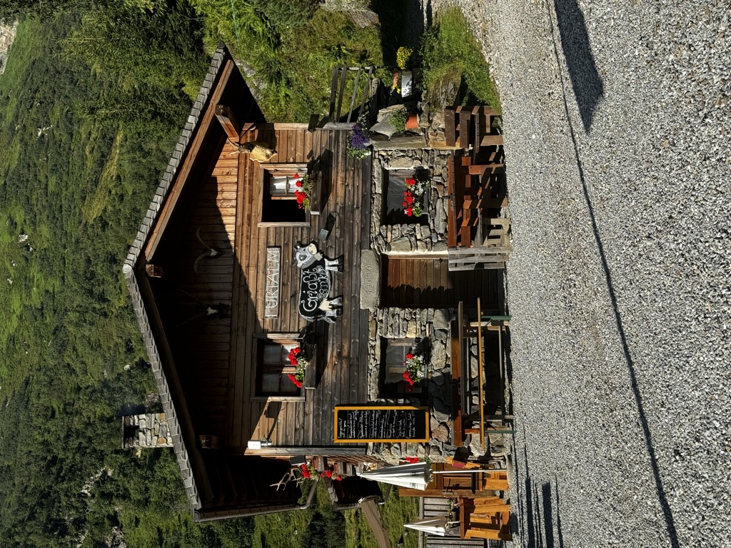
A dairy hut on the pastures of the Brennero comune, in the upper Val Isarco, reached by a track from the valley floor.
Sterzing, Pfitsch und FreienfeldMalga Obere Gewingesalm
11 km away, in Racines/Ratschings
The upper of two dairy huts on the Gewinges pastures above Racines, in the mountains of the Ratschings valley.
Sterzing, Pfitsch und FreienfeldMalga Martalm
11.8 km away, in Racines/Ratschings
A pasture hut on the slopes above the Val Ridanna, in the comune of Racines.
Sterzing, Pfitsch und FreienfeldMalga di Ponteletto
12.7 km away, in Fortezza/Franzensfeste
A dairy hut by the Lago di Puntleid above Fortezza, reached by the path from Mezzaselva in the Val Isarco.
Nothing of this kind in Vipiteno/Sterzing.
Routes
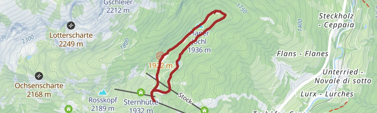
Circular hiking trail to the Flaner Jöchl
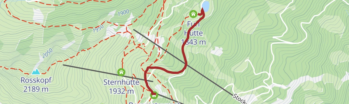
A loop from the Monte Cavallo lift station past the Kastellacke biotope to the Flaner Jöchl, returning by the Furlhütte.
- 5.2 km
- Distance
- 157 m
- Ascent
- 1 h 37 min
- Duration
- 23
- Check-ins
 Flaner Jöchl 1 936 m
 Furl Hütte 1 843 m
 Kastellacke 1 920 m
- Bergrestaurant Roßstodl 1 859 m
- Speichersee 1 828 m
- RAI-Anlage Rosskopf - Impianto RAI Monte Cavallo 1 884 m
- +1
Open route SterzingCircular hiking tour Vallming
A circuit from the Monte Cavallo cable car over the Rosskopf and the Ochsenscharte, down to the Vallming huts and back past the Kastellacke biotope.
- 7.1 km
- Distance
- 559 m
- Ascent
- 3 h 37 min
- Duration
- 36
- Check-ins
- Rosskopf 2 189 m
- Kastellacke 1 920 m
- Panoramarestaurant Sterzingerhaus 1 919 m
- Vallmingalm - Malga di Valmigna 1 813 m
 Ochsenscharte 2 168 m
- Bergrestaurant Roßstodl 1 859 m
- +1
Open route SterzingDolomieu trail - Hike
A long crossing over six alpine pastures from the Rosskopf via Ladurns into the Pflerschtal, the valley where Déodat de Dolomieu identified dolomite rock.
- 22.4 km
- Distance
- 632 m
- Ascent
- 7 h 24 min
- Duration
- 65
- Check-ins
- Allrissalm - Malga Alberes 1 533 m
- Kastellacke 1 920 m
- Panoramarestaurant Sterzingerhaus 1 919 m
- Ladurner Hütte - Malga Ladurns 1 723 m
- RAS-Anlage Pflersch 1 407 m
- Vallmingalm - Malga di Valmigna 1 813 m
- +10
Open route SterzingCima di Monte Cavallo
A short ski tour off the Monte Cavallo pistes above Vipiteno, past the Sterzingerhaus and the Kastellacke biotope to the summit ridge.
- 2.5 km
- Distance
- 310 m
- Ascent
- 0 m
- Descent
- 58 min
- Duration
- 21
- Check-ins
Open route Sterzing, Pfitsch und FreienfeldSulle Cime Bianche di Telves
A ski tour from the Monte Cavallo lift past the Valmigna huts to the east top, the last stretch to the 2,565 m main summit on foot; axe and crampons advised.
- 4.5 km
- Distance
- 803 m
- Ascent
- 124 m
- Descent
- 2 h 20 min
- Duration
- 24
- Check-ins
- Telfer Weißen Ostgipfel - Cime Bianche di Telves cima invernale 2 565 m
- Kastellacke 1 920 m
- Panoramarestaurant Sterzingerhaus 1 919 m
- Vallmingalm - Malga di Valmigna 1 813 m
- Bergrestaurant Roßstodl 1 859 m
- Grubenlacke 2 184 m
- +1
Open route Sterzing, Pfitsch und Freienfeld457 Dalle alture pittoresche al fascino delle città medievali: Da Castelrotto a Vipiteno
An e-bike traverse dropping from Castelrotto into the Eisacktal, then following the valley north to Vipiteno largely on surfaced roads.
- 65.4 km
- Distance
- 762 m
- Ascent
- 6 h 33 min
- Duration
- 80
- Check-ins
- Paterbichl 559 m
- Klammwirt 559 m
- Tourist Information 1 069 m
- Senfter 532 m
- Fürholz 554 m
- Hilm 488 m
- +10
Open route Seis am SchlernEisacktal Valley Bike Route: Brenner - Bozen
A long, almost entirely downhill valley ride from the Brenner border to Bozen, following the Eisack river the whole way.
- 96.5 km
- Distance
- 313 m
- Ascent
- 9 h 14 min
- Duration
- 185
- Check-ins
- Paterbichl 559 m
- Mila Bistro 282 m
- Klammwirt 559 m
- Hiasele 312 m
- Agrocenter Bozen OHG 296 m
- Senfter 532 m
- +22
Open route Gitschberg - JochtalFrom the Rosskopf cable car mountain station to the Freundalm mountain hut
An easy walk on farm tracks from the Monte Cavallo top station across the pastures by way of the Kuhalm to the Freundalm, manageable with a pushchair.
- 6.9 km
- Distance
- 299 m
- Ascent
- 2 h 21 min
- Duration
- 15
- Check-ins
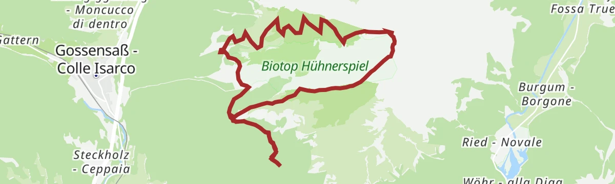
Open route Ratschings TourismusFrom Schmuders to the Hühnerspielhütte
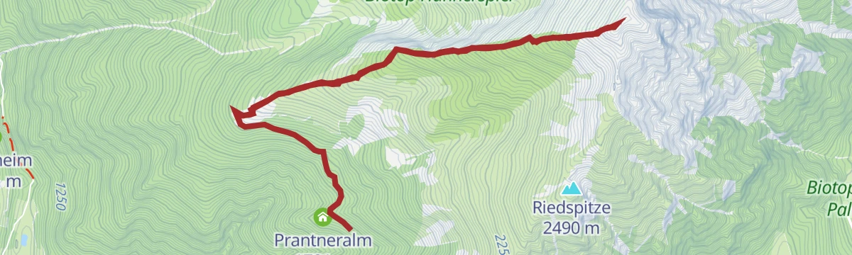
From above Schmuders on trail 3, then forest road past the Prantneralm and Riedbergalm and broad trail 11 to the Huehnerspielhuette; the road alone suits a pushchair.
- 9.9 km
- Distance
- 426 m
- Ascent
- 3 h 22 min
- Duration
- 34
- Check-ins
- Prantneralm 1 781 m
- Hühnerspielhütte - Rifugio Gallina 1 868 m
- Riedberger Alm - Malga Riedbergalm 1 947 m
- Platzbergalm - Malga Piazza 1 899 m
Open route SterzingFrom Rosskopf on the Dolomieu Trail into the Pflerschtal
A high traverse from the Rosskopf above Sterzing, westwards over the alpine pastures and down into the Pflerschtal.
- 17.3 km
- Distance
- 560 m
- Ascent
- 6 h 2 min
- Duration
- 52
- Check-ins
- Allrissalm - Malga Alberes 1 533 m
- Kastellacke 1 920 m
- Panoramarestaurant Sterzingerhaus 1 919 m
- Ladurner Hütte - Malga Ladurns 1 723 m
- RAS-Anlage Pflersch 1 407 m
- Vallmingalm - Malga di Valmigna 1 813 m
- +5
Open route Valle Isarco - Eisacktal457 From picturesque heights to medieval town flair - from Kastelruth to Sterzing
A long valley ride from the terrace above the Eisack down to the river, then north past Paterbichl to Sterzing, mostly on paved paths.
- 65.0 km
- Distance
- 758 m
- Ascent
- 6 h 31 min
- Duration
- 76
- Check-ins
- Paterbichl 559 m
- Klammwirt 559 m
- Tourist Information 1 069 m
- Senfter 532 m
- Fürholz 554 m
- Hilm 488 m
- +9
Open route SterzingExcursion to the huts Vallming
A short signed walk from the Monte Cavallo top station out to the Vallminger Almen, a group of pasture huts on the mountain above Vipiteno.
- 4.8 km
- Distance
- 185 m
- Ascent
- 1 h 35 min
- Duration
- 14
- Check-ins
- Kastellacke 1 920 m
- Vallmingalm - Malga di Valmigna 1 813 m
- Bergrestaurant Roßstodl 1 859 m
- Vallming-Alm 1 823 m
Open route SterzingFrom Sterzing to the Telfer Weißen
A long ascent from Sterzing up the Telferberg to the Telfer Weißen, the pale rocky crest that closes the Ridnauntal.
- 10.8 km
- Distance
- 872 m
- Ascent
- 5 h 37 min
- Duration
- 25
- Check-ins
- Telfer Weissen - Cime Bianche di Telves 2 588 m
- Telfer Weißen Ostgipfel - Cime Bianche di Telves cima invernale 2 565 m
- Kastellacke 1 920 m
- Vallmingalm - Malga di Valmigna 1 813 m
- Ochsenscharte 2 168 m
- Bergrestaurant Roßstodl 1 859 m
- +1
Open route Valle Isarco - EisacktalSaun-Weißspitz-Amthorspitze circular tour
A long ridge round behind the Braunhof over the Saun and the Bairnock to the Weisspitze and the Amthorspitze, one exposed step secured with an aluminium ladder.
- 17.0 km
- Distance
- 1 527 m
- Ascent
- 9 h 36 min
- Duration
- 46
- Check-ins
- Weißspitze - Punta Bianca 2 714 m
- Saun 2 083 m
- Riedspitze 2 490 m
- Bairnock - Punta del Dosso 2 591 m
- Amthorspitze 2 748 m
- Prantneralm 1 781 m
- +4
Open route SterzingTour in bicicletta da Vipiteno a Chiusa
A ride down the valley from Vipiteno to Chiusa, passing the Habsburg fortress at Fortezza and the old town centres on the way.
- 48.6 km
- Distance
- 137 m
- Ascent
- 4 h 35 min
- Duration
- 41
- Check-ins
- Paterbichl 559 m
- Klammwirt 559 m
- Senfter 532 m
- Fürholz 554 m
- Klausen Informationsbüro - Chiusa 533 m
- Tourismusverein Sterzing - Associazione Turistica 957 m
- +2
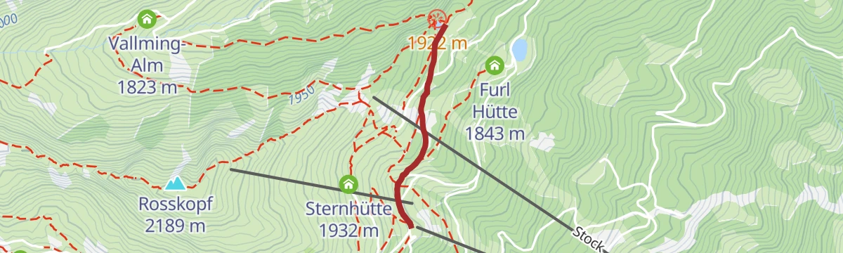
Open route Sterzing, Pfitsch und FreienfeldExcursion to the Furlhütte at Rosskopf
A twenty-minute stroll from the Monte Cavallo top station on the Kastellacke and Flaner Jöchl paths to the Furlhütte.
- 1.3 km
- Distance
- 30 m
- Ascent
- 24 min
- Duration
- 12
- Check-ins
- Furl Hütte 1 843 m
- Bergrestaurant Roßstodl 1 859 m
- Speichersee 1 828 m
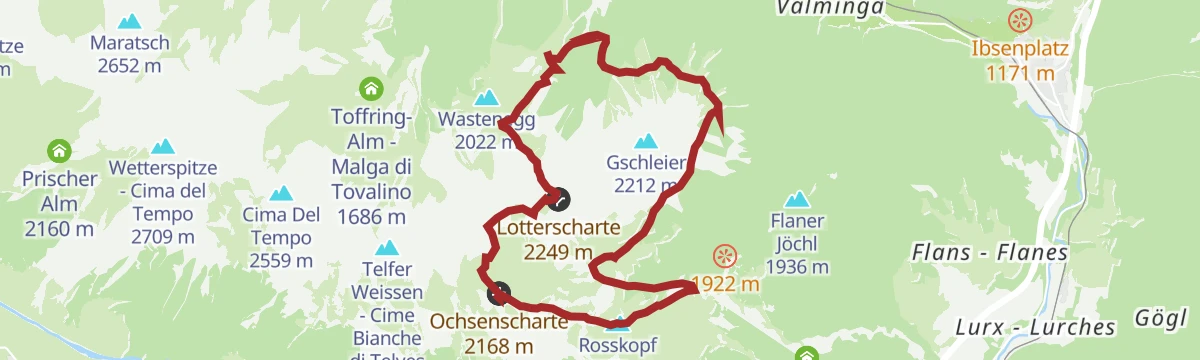
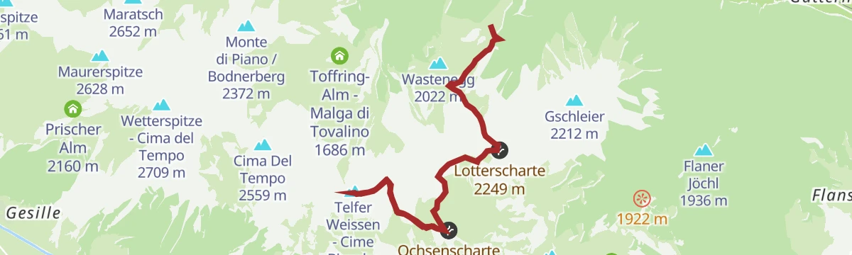
Open route SterzingLotterscharte joke & Vallming alpine village
From the top station towards the Edelweisshuette, then steep trail 34 over scree to the Lotterscharte and down to the pasture huts of Vallming, back by the Dolomieu trail.
- 9.8 km
- Distance
- 743 m
- Ascent
- 4 h 51 min
- Duration
- 25
- Check-ins
- Edelweißhütte 1 956 m
- Ladurner Hütte - Malga Ladurns 1 723 m
- Vallmingalm - Malga di Valmigna 1 813 m
- Kaser - Hütte 1 731 m
- Pfeifer Huisele 1 713 m
- Lotterscharte 2 249 m
- +1
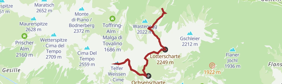
Open route GossensaßOver Lotterscharte joke to the Rosskopf
From the top station towards the Edelweisshuette, then steep trail 34 over scree to the Lotterscharte at 2,258 m and trail 24 along the ridge to the Rosskopf.
- 13.5 km
- Distance
- 1 025 m
- Ascent
- 6 h 41 min
- Duration
- 40
- Check-ins
- Rosskopf 2 189 m
- Edelweißhütte 1 956 m
- Ladurner Hütte - Malga Ladurns 1 723 m
- Vallmingalm - Malga di Valmigna 1 813 m
- Kaser - Hütte 1 731 m
- Ochsenscharte 2 168 m
- +4
Open route GossensaßBrenner Bike Route
A 50 km valley run south from the Brenner on the old railway alignment, through Gossensaß and Sterzing and on towards Vahrn.
- 50.8 km
- Distance
- 180 m
- Ascent
- 4 h 57 min
- Duration
- 35
- Check-ins
- Punterbühel 681 m
- Moidl Hof 1 325 m
- Gasthof Silbergasser 1 316 m
- Tourismusverein Sterzing - Associazione Turistica 957 m
- Biwak 963 m
- Waldheim 1 081 m
- +2
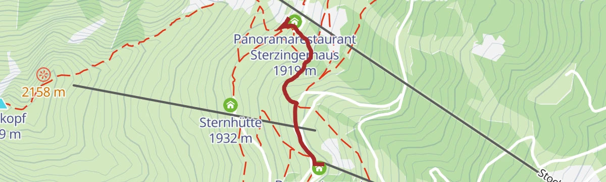
Open route GossensaßExcursion to the Sterzinger Haus at Rosskopf
A few minutes uphill from the Monte Cavallo top station on trail 19 to the Sterzinger Haus, the inn just above the lift.
- 660 m
- Distance
- 70 m
- Ascent
- 18 min
- Duration
- 10
- Check-ins
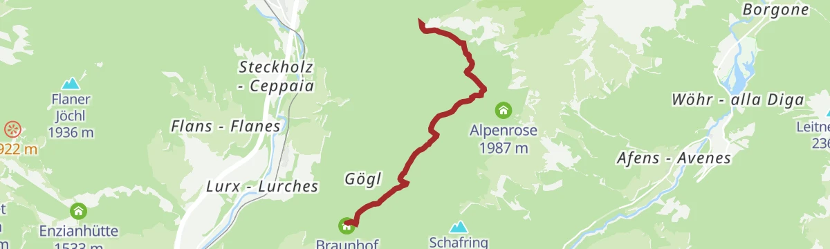
Open route SterzingTo the Riedbergalm
From the car park by the Braunhof at Schmuders, trail 3 through forest to the Prantneralm, then a forest path on to the Riedbergalm, which sells its own yoghurt and cheese.
- 4.6 km
- Distance
- 583 m
- Ascent
- 2 h 21 min
- Duration
- 25
- Check-ins
Open route SterzingFrom the Prantneralm to the Amthorspitze
A climb from the Prantneralm car park by way of the Riedbergalm and the Hühnerspielhütte to the 2,753 m Amthorspitze on the Brenner ridge.
- 12.1 km
- Distance
- 1 029 m
- Ascent
- 6 h 32 min
- Duration
- 34
- Check-ins
- Amthorspitze 2 748 m
- Prantneralm 1 781 m
- Hühnerspielhütte - Rifugio Gallina 1 868 m
- Riedberger Alm - Malga Riedbergalm 1 947 m
- Platzbergalm - Malga Piazza 1 899 m
Open route SterzingCycle tour from Sterzing to Klausen
A long valley run from the medieval centre of Sterzing past the fortress of Franzensfeste down to Klausen, dropping over 400 m overall.
- 48.5 km
- Distance
- 128 m
- Ascent
- 4 h 34 min
- Duration
- 28
- Check-ins
- Paterbichl 559 m
- Senfter 532 m
- Fürholz 554 m
- Klausen Informationsbüro - Chiusa 533 m
- Tourismusverein Sterzing - Associazione Turistica 957 m
- Work & Office Center Kampan 572 m
- +1
Open route Klausen, Barbian, Villanders, FeldthurnsWalk to the biotope "Kastellacke"
A short level walk on trail 19 from the Monte Cavallo top station to the Kastellacke biotope, a protected corner of the plateau.
- 2.0 km
- Distance
- 60 m
- Ascent
- 37 min
- Duration
- 10
- Check-ins
Open route SterzingFrom Rosskopf to Telfes
A descending traverse on the Ridnauner Höhenweg from the Monte Cavallo station past the Ochsenalm and Freundalm to Obertelfes, with a bus back to town.
- 7.1 km
- Distance
- 89 m
- Ascent
- 2 h 26 min
- Duration
- 17
- Check-ins
- Freundalm 1 728 m
- Kuhalm 1 897 m
- Bergrestaurant Roßstodl 1 859 m
- Ochsenalm 1 905 m
- Biohof Rungger 1 361 m
Open route SterzingAcross the embrasure Lotterscharte to the peaks Telfer Weißen/Cime Bianche di Telves
From the Ladurns top station by the Edelweiss hut and trail 34A to the Lotterscharte, then trails 24 and 23 to the Telfer Weissen, returning the same way.
- 11.7 km
- Distance
- 1 234 m
- Ascent
- 7 h 30 min
- Duration
- 32
- Check-ins
- Telfer Weissen - Cime Bianche di Telves 2 588 m
- Telfer Weißen Ostgipfel - Cime Bianche di Telves cima invernale 2 565 m
- Edelweißhütte 1 956 m
- Ladurner Hütte - Malga Ladurns 1 723 m
- Kaser - Hütte 1 731 m
- Ochsenscharte 2 168 m
- +3
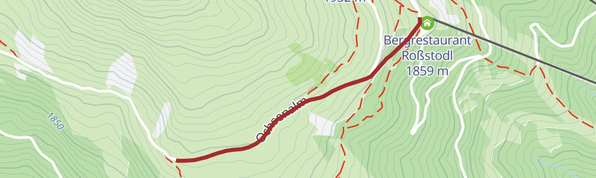
Open route GossensaßDalla stazione a monte della cabinovia Monte Cavallo alla Malga Ochsenalm
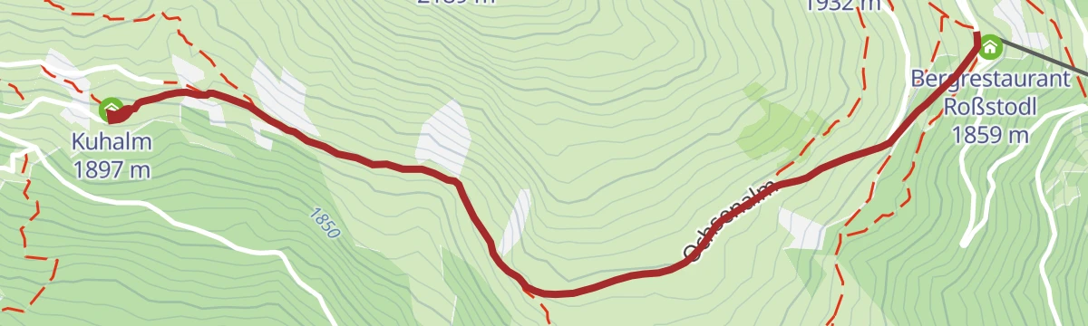
An almost level walk on farm tracks from the Monte Cavallo top station along the Alta Via di Ridanna, above the Malga Kuhalm to the Malga Ochsenalm.
- 5.5 km
- Distance
- 103 m
- Ascent
- 1 h 32 min
- Duration
- 8
- Check-ins
Open route Sterzing, Pfitsch und FreienfeldOver Vallming to Colle Isarco/Gossensass
A downhill crossing from the Monte Cavallo station through the Vallming pastures and forest roads to the valley floor at Gossensass, with a bus link back.
- 8.6 km
- Distance
- 70 m
- Ascent
- 2 h 55 min
- Duration
- 14
- Check-ins
- Kastellacke 1 920 m
- Vallmingalm - Malga di Valmigna 1 813 m
- Bergrestaurant Roßstodl 1 859 m
- Vallming-Alm 1 823 m
Open route SterzingFrom Ladurns to the Telfer Weißen summit
From the top station past the Edelweisshuette and up steep trail 34 to the Lotterscharte, then 24 to the Ochsenscharte and 23 along the crest to the east summit.
- 11.8 km
- Distance
- 1 246 m
- Ascent
- 7 h 34 min
- Duration
- 32
- Check-ins
- Telfer Weissen - Cime Bianche di Telves 2 588 m
- Telfer Weißen Ostgipfel - Cime Bianche di Telves cima invernale 2 565 m
- Edelweißhütte 1 956 m
- Ladurner Hütte - Malga Ladurns 1 723 m
- Kaser - Hütte 1 731 m
- Ochsenscharte 2 168 m
- +3
Open route GossensaßHike to the spring "Ferchwasser"
An easy walk on the Rosskopf above Vipiteno to the Ferchwasser, a spring long held to be good for body and mind.
- 6.7 km
- Distance
- 217 m
- Ascent
- 2 h 6 min
- Duration
- 8
- Check-ins
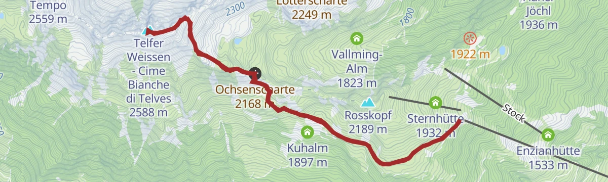
Open route SterzingTelfer Weissen peak trail
A mountain path for sure-footed walkers to the Telfer Weißen, the pale crest that overlooks Sterzing and the Ridnauntal.
- 9.8 km
- Distance
- 790 m
- Ascent
- 5 h 5 min
- Duration
- 14
- Check-ins
- Telfer Weissen - Cime Bianche di Telves 2 588 m
- Telfer Weißen Ostgipfel - Cime Bianche di Telves cima invernale 2 565 m
- Ochsenscharte 2 168 m
- Bergrestaurant Roßstodl 1 859 m
Open route SterzingAlpine Tour to the Weißspitze peak
A demanding ascent above Vipiteno that starts in pasture and finishes on the blocky limestone cone of the Weißspitze, looking to the Zillertal and Sarntal Alps.
- 8.2 km
- Distance
- 923 m
- Ascent
- 5 h 33 min
- Duration
- 29
- Check-ins
Open route SterzingFrom the Rosskopf cable car mountain station to the Kuhalm mountain hut
A short gravel-road walk from the Monte Cavallo top station over open pasture to the Kuhalm, easy going with a pushchair.
- 4.2 km
- Distance
- 136 m
- Ascent
- 1 h 18 min
- Duration
- 6
- Check-ins
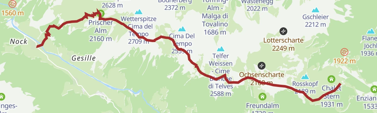
Open route Ratschings TourismusAlta Via di Ridanna
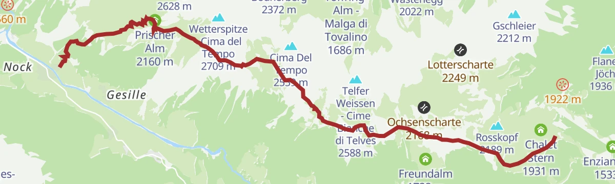
The Ridanna high route from the Monte Cavallo top station along the foot of the Cime Bianche di Telves, by the Malga Seeberalm and its lake to the Malga Prischeralm, then down to Masseria.
- 12.2 km
- Distance
- 562 m
- Ascent
- 5 h 7 min
- Duration
- 13
- Check-ins
Open route Sterzing, Pfitsch und FreienfeldFrom Obertelfes to the Telfer Weißen
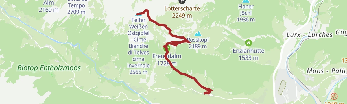
A woodland ascent from the Obertelfes bus stop past the Freundalm and the Kuhalm to the Ochsenscharte notch and the summit above Telves.
- 16.5 km
- Distance
- 1 323 m
- Ascent
- 8 h 31 min
- Duration
- 23
- Check-ins
- Telfer Weissen - Cime Bianche di Telves 2 588 m
- Telfer Weißen Ostgipfel - Cime Bianche di Telves cima invernale 2 565 m
- Freundalm 1 728 m
- Ochsenscharte 2 168 m
- Kuhalm 1 897 m
- Biohof Rungger 1 361 m
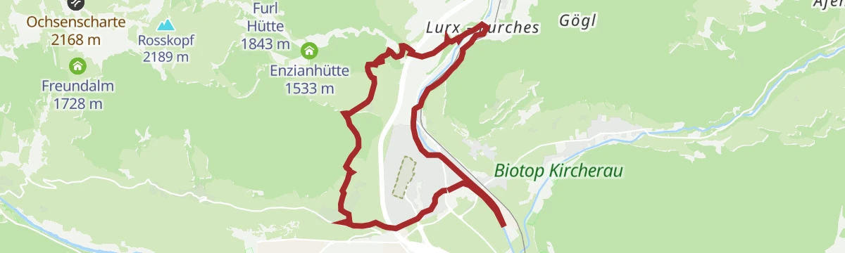
Open route Ratschings TourismusAround Sterzing
An easy loop around Sterzing, linking the old town with the farm slopes above the floor of the Eisack valley.
- 6.3 km
- Distance
- 244 m
- Ascent
- 2 h 4 min
- Duration
- 4
- Check-ins
Open route Valle Isarco - EisacktalRidnaun High Trail
A panoramic high route running west from the Monte Cavallo station past the Kuhalm and Ochsenalm, below the Telfer Weißen to the Prischeralm, then down to Maiern in the Ridnaun mining valley.
- 11.3 km
- Distance
- 576 m
- Ascent
- 5 h 7 min
- Duration
- 13
- Check-ins
Open route SterzingAcross the Prantneralm to the Strassberg ruin
From the Sterzing valley floor by way of Schmuders up to the Prantneralm, then down to the Novale hamlet past the Strassberg ruin, once the seat of the local counts.
- 15.1 km
- Distance
- 989 m
- Ascent
- 6 h 42 min
- Duration
- 20
- Check-ins
Open route SterzingDescend from Rosskopf to Sterzing / Vipiteno
The walking descent from the Monte Cavallo top station past the weather cross and a small chapel, then down the zigzags into Sterzing.
- 4.6 km
- Distance
- 0 m
- Ascent
- 2 h 13 min
- Duration
- 4
- Check-ins
Open route SterzingWeißspitz/Cima Bianca
A there-and-back climb on trail 3 from the Riedbergalm car park to the limestone summit of the Weißspitze above Sterzing.
- 6.6 km
- Distance
- 796 m
- Ascent
- 4 h 43 min
- Duration
- 10
- Check-ins
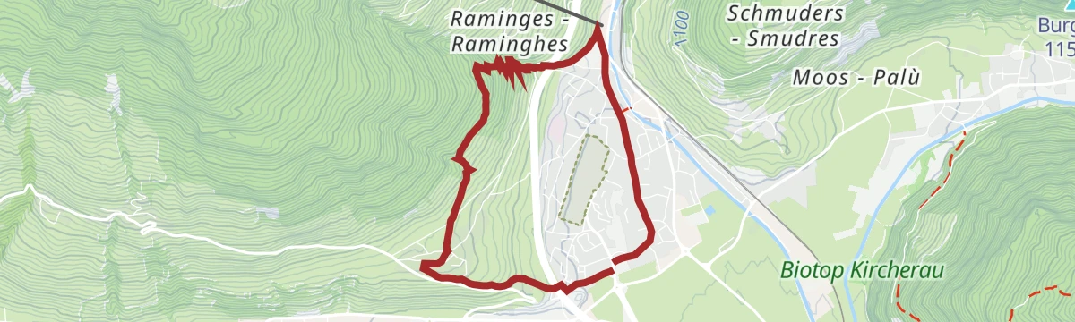
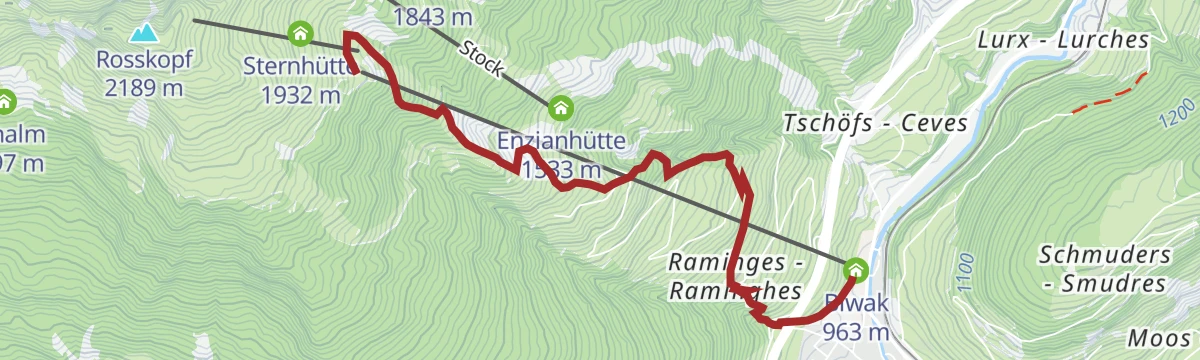
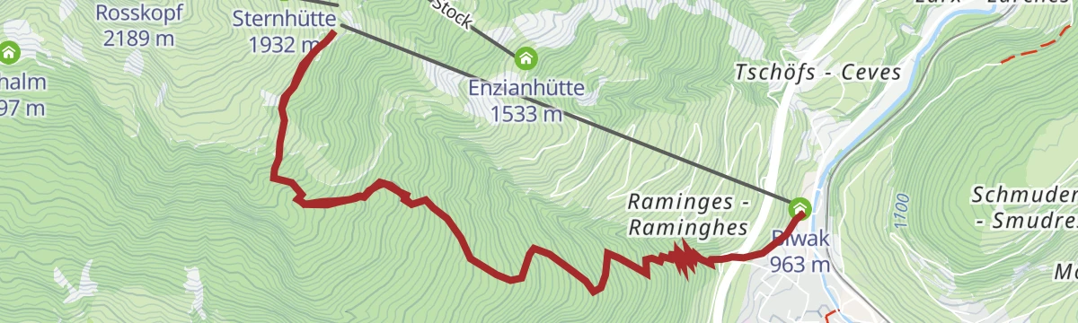
Open route GossensaßFrom Sterzing to the Rosskopf plateau
The full climb on foot from the Nordpark in Sterzing, either over Raminges or beside the water trail, up to the pastures of the Rosskopf.
- 10.7 km
- Distance
- 977 m
- Ascent
- 6 h 7 min
- Duration
- 4
- Check-ins
Open route SterzingDa Telves di Sopra alla piattaforma panoramica 360° Telferberg
A family walk up from Telves di Sopra past the Malga Freundalm and Malga Kuhalm to the panoramic deck on the Telferberg.
- 2.1 km
- Distance
- 82 m
- Ascent
- 41 min
- Duration
- 3
- Check-ins
Open route Sterzing, Pfitsch und FreienfeldGaismair round trail
A circuit on the slopes around Sterzing through Tschöfs, birthplace in 1490 of the peasant leader Michael Gaismair; a few steep, rough sections rule out pushchairs.
- 12.6 km
- Distance
- 406 m
- Ascent
- 3 h 57 min
- Duration
- 4
- Check-ins
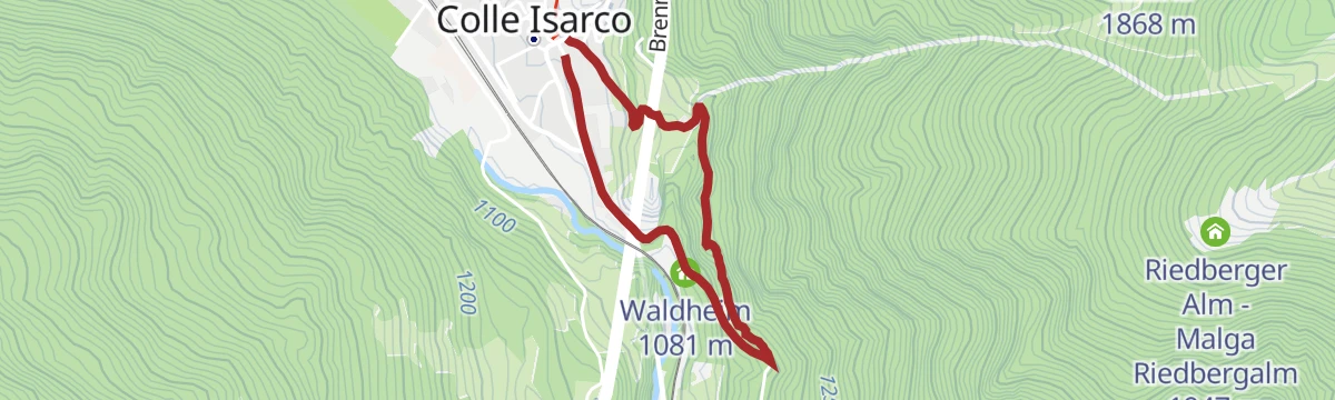
Open route SterzingFrom Gossensass/Colle Isarco to the Straßberg ruin
An easy family outing from Gossensass to the ruined castle of Straßberg above the old Brenner road, which can only be seen from the outside.
- 3.8 km
- Distance
- 108 m
- Ascent
- 1 h 9 min
- Duration
- 2
- Check-ins
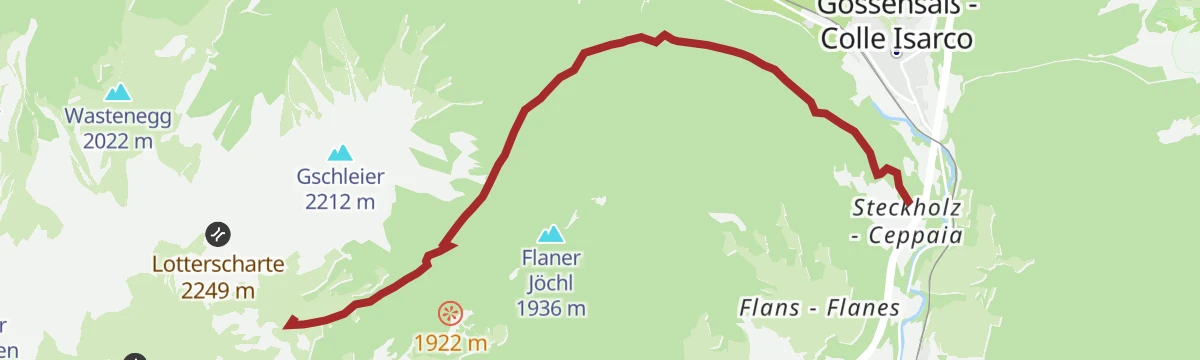
Open route GossensaßTrail Gottschalk to Vallming
A climb from the hamlet of Steckholz on forest tracks and trail 19A up to the pasture village of Vallming, where the alm serves meals.
- 13.8 km
- Distance
- 667 m
- Ascent
- 4 h 56 min
- Duration
- 4
- Check-ins
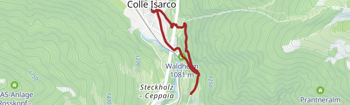
Open route GossensaßFrom Vipiteno to Colle Isarco
A valley walk out of Vipiteno through woods to the hamlet of Oberried and the Straßberg ruin, then under the motorway viaduct down to Colle Isarco.
- 6.0 km
- Distance
- 240 m
- Ascent
- 1 h 54 min
- Duration
- 2
- Check-ins
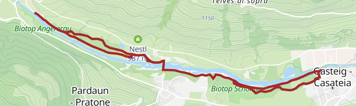
Open route SterzingFrom Sterzing to Wiesen
A valley-floor walk from Sterzing southeast to Wiesen at the mouth of the Pfitschtal, nearly flat the whole way.
- 7.4 km
- Distance
- 60 m
- Ascent
- 1 h 53 min
- Duration
- 3
- Check-ins
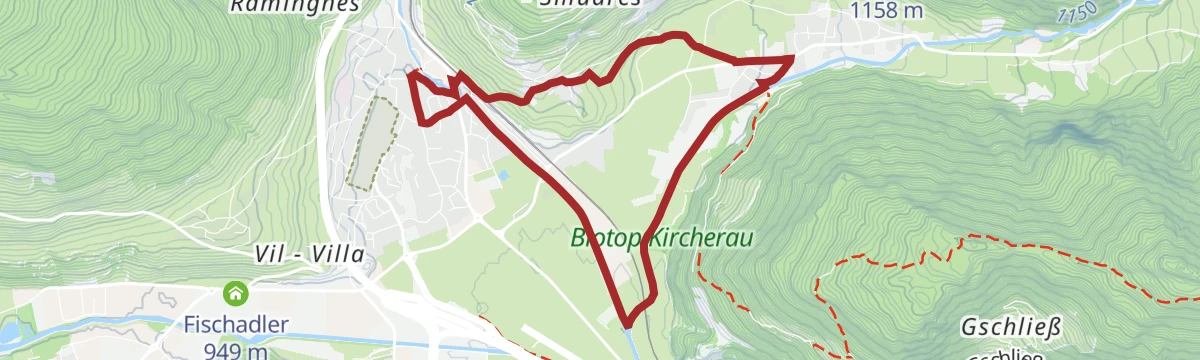
Open route Valle Isarco - EisacktalWater fall trail in Gossensass/Colle Isarco
A short circuit on the Hochwieden/Herrengarten path above the village, crossing the pre-war bridge over the falls with the Pflerschtal in view.
- 2.8 km
- Distance
- 93 m
- Ascent
- 53 min
- Duration
- 1
- Check-ins
Open route GossensaßLaufen am Mareiter Bach
A level route along the Mareiter Bach on the floor of the Ratschings valley, used for running as much as for walking.
- 8.7 km
- Distance
- 74 m
- Ascent
- 2 h 12 min
- Duration
Rundspaziergang am Mareiter Bach
An easy circular walk on the floor of the Ratschings valley, following the Mareiter Bach and staying almost level throughout.
- 9.2 km
- Distance
- 73 m
- Ascent
- 2 h 20 min
- Duration
No routes of this kind in Vipiteno/Sterzing yet.
The region's own picks
Featured route
Circular hiking trail to the Flaner Jöchl
A loop from the Monte Cavallo lift station past the Kastellacke biotope to the Flaner Jöchl, returning by the Furlhütte.
Planning a trip to Vipiteno/Sterzing?
Everything else Trentino-Alto Adige/Südtirol has, in one place


Take Vipiteno/Sterzing with you into the mountains
Every route on this page with 3D terrain, GPX navigation and offline maps — including the valleys with no signal.
Data sources
- Official website: suedtirol.info ↗
- Routes and highlights: Sterzing, Sterzing, Pfitsch und Freienfeld, Gossensaß, Valle Isarco - Eisacktal, Ratschings Tourismus, Racines Giovo, Seis am Schlern, Gitschberg - Jochtal, Klausen, Barbian, Villanders, Feldthurns
- Published as open data by the tourist boards named above.
- Region summary generated from the board's own material.
