
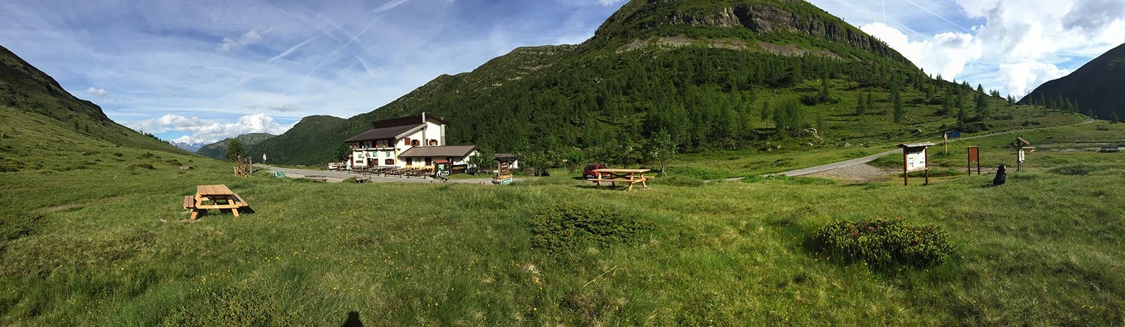
 Mountain hut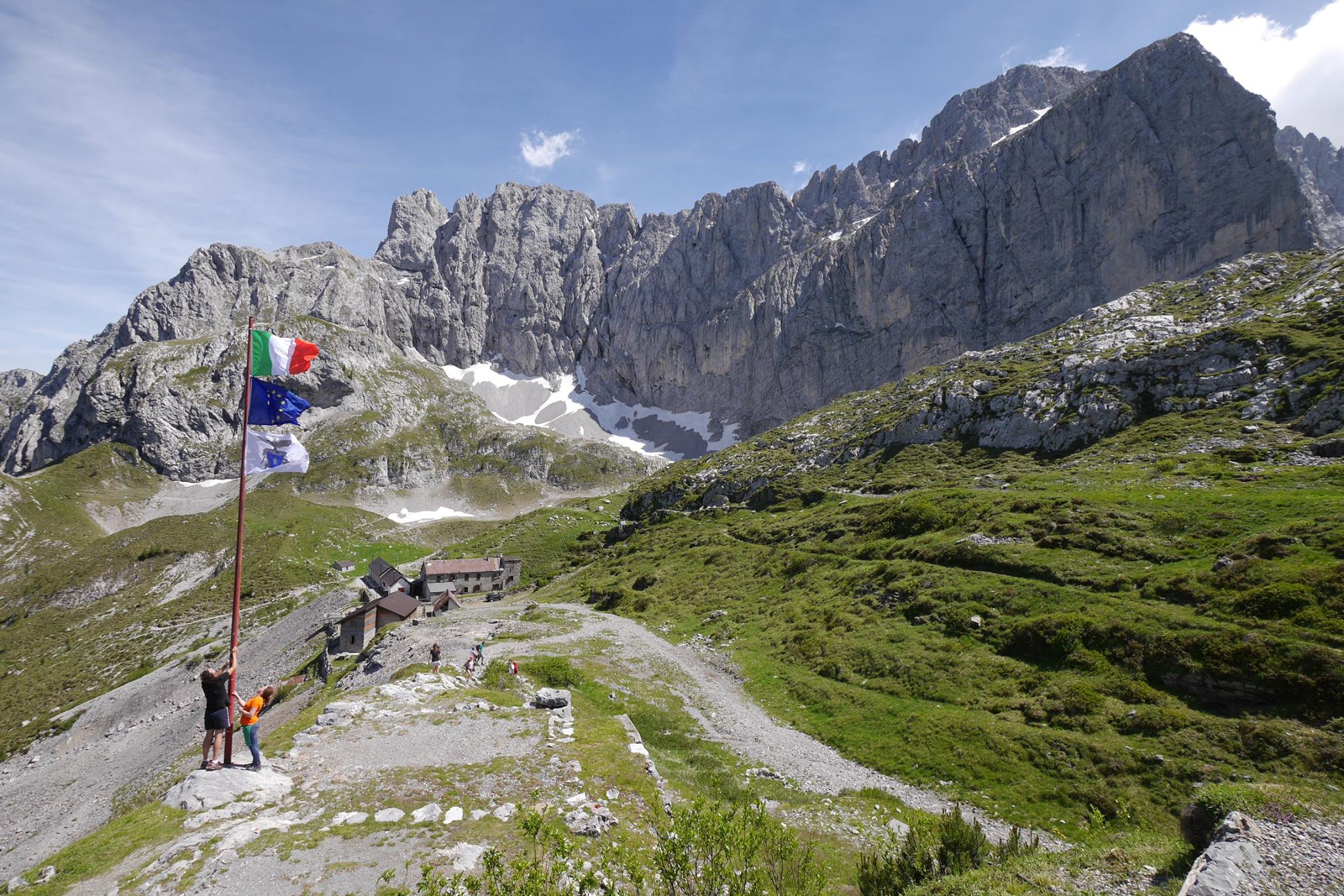
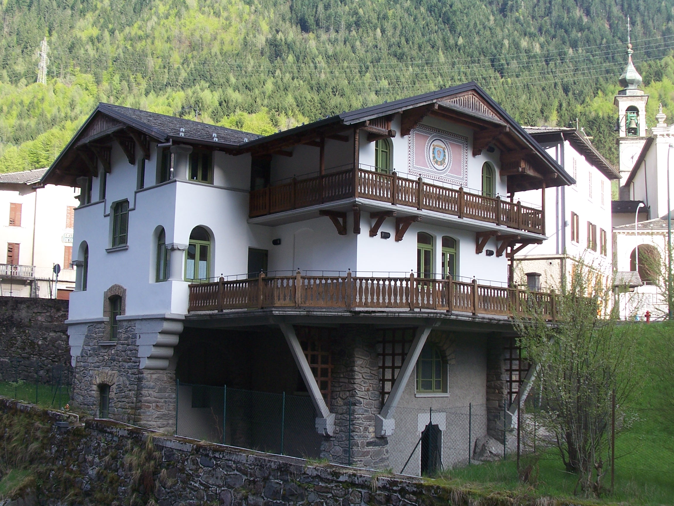
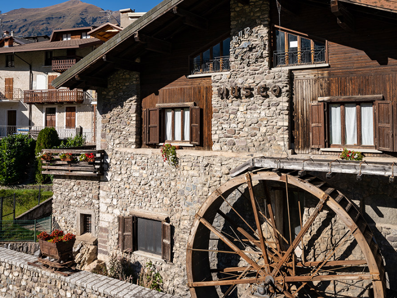
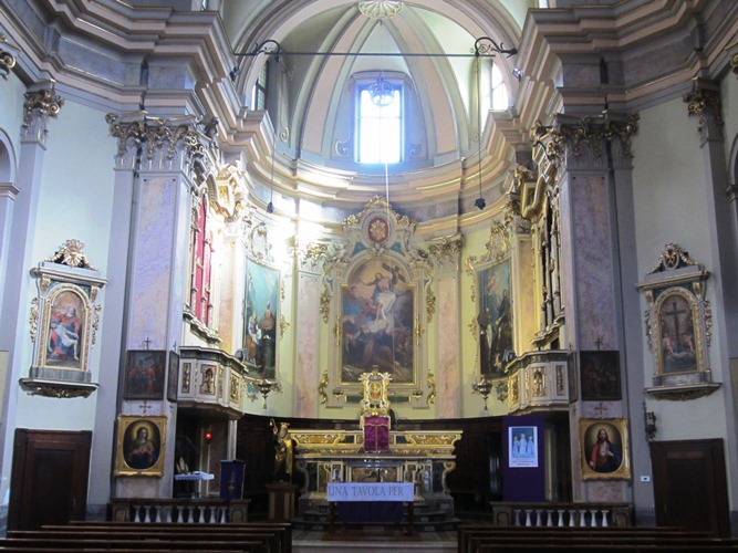
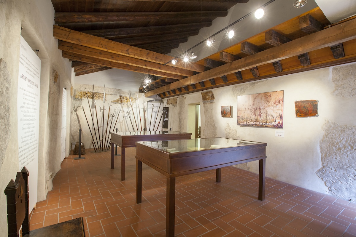
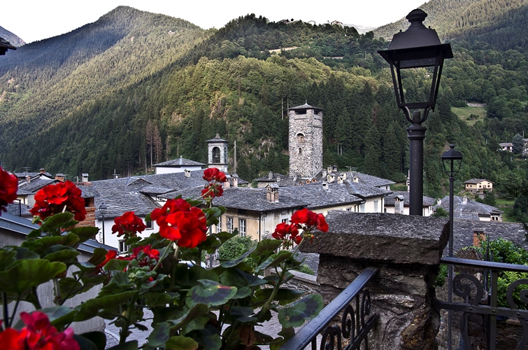
 Historic site





Curated by Val Seriana
Vilminore di Scalve
The administrative village of the Val di Scalve, between the Presolana and the Passo della Manina.
- 15Highlights
- 13Routes
- Featured summit · Monte Sasna
Highlights
All 15 from neighbouring places
Santuario della Madonnina di Colere
4.4 km away, in Colere
A seventeenth-century sanctuary at Dezzo di Scalve below Colere, built over an earlier shrine.
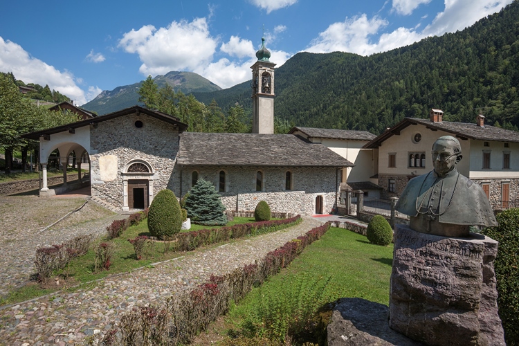
Chiesa di San Bernardino
4.6 km away, in Valbondione
The church at Valbondione, at the foot of the path to the Serio waterfalls.
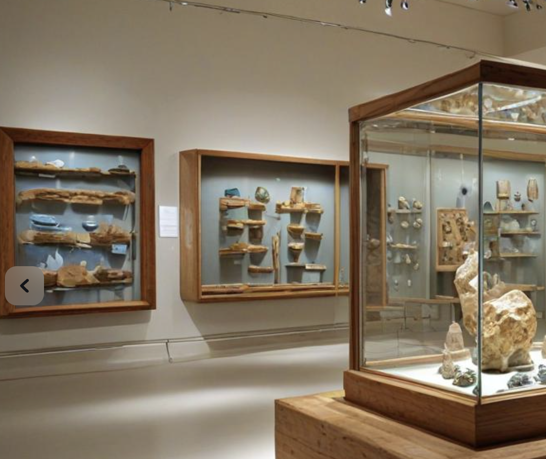
MUSEO DEI MINERALI E FOSSILI
4.7 km away, in Schilpario
A museum of minerals and fossils at Schilpario, drawn from the iron workings of the Val di Scalve.
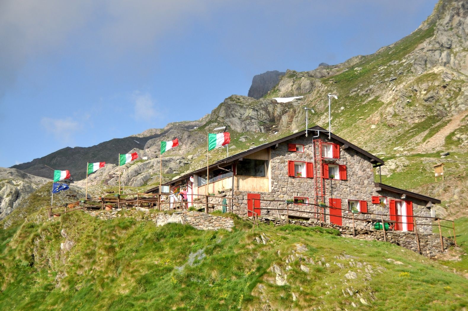
Rifugio Tagliaferri
5.2 km away, in Schilpario
A hut below the Pizzo Camino above Schilpario, in the upper Val di Scalve.
Rifugio Albani
5.3 km away, in Colere
A hut at 1,939 m below the north wall of the Presolana, the base for its hardest climbing routes.
Museo dell’Identità e della Cultura Locale
5.7 km away, in Valbondione
A museum at Valbondione on shepherding, mining and life at the head of the Val Seriana.
Museo Etnografico
6.7 km away, in Schilpario
The ethnographic museum of Schilpario, on the working life of the Val di Scalve.
Chiesa di Sant’Antonio Abate
8.9 km away, in Valbondione
A small church on the Valbondione slope, on the old track up the valley.
Rifugio Passo del Vivione
10.3 km away, in Schilpario
A hut at the Passo del Vivione, the high road pass between the Val di Scalve and the Val Camonica.
Chiesa di San Bartolomeo
11.2 km away, in Gromo
A church in the Gromo hamlets, on the slope above the Serio.
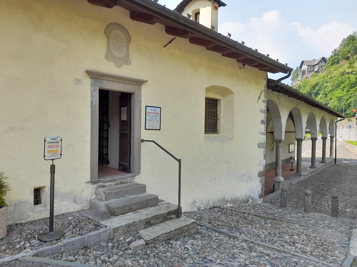
Museo parrocchiale di Gromo “Mons. Luigi Morstabilini”
11.8 km away, in Gromo
The parish collection at Gromo: vestments, silver and paintings from the valley's churches.
Chiesa della Crocetta
11.9 km away, in Gromo
A small church above Gromo, on the path out of the village.
MAP
12.1 km away, in Gromo
Gromo's museum of arms and mining, in the Castello Ginami above the village.
Castello Ginami
12.1 km away, in Gromo
A fourteenth-century tower house in Gromo, the seat of the family that ran the valley's blade forges.
Chiesa di San Giacomo Apostolo e San Vincenzo Levita
12.3 km away, in Gromo
Gromo's parish church, on the terrace above the Serio gorge.
Nothing of this kind in Vilminore di Scalve.
Routes
Trekking alla Diga del Gleno
A short climb in the Val di Scalve to the ruins of the Gleno dam, which collapsed in 1923 and flooded the valley below.
- 2.2 km
- Distance
- 366 m
- Ascent
- 1 h 35 min
- Duration
- 38
- Check-ins
L'anello della diga del Gleno
A loop from Pianezza, a high hamlet of Vilminore in the Val di Scalve, up to the broken wall of the Gleno dam, which burst in 1923.
- 6.2 km
- Distance
- 562 m
- Ascent
- 3 h 33 min
- Duration
- 38
- Check-ins
Dal Rifugio Curò al Rifugio Albani
A long stage from the Curò hut down the mule track and up path 404 over the Ferrantino ridge to the Albani hut below the Presolana.
- 17.4 km
- Distance
- 1 269 m
- Ascent
- 8 h 17 min
- Duration
- 289
- Check-ins
Da Vilminore al passo della Manina in MTB
A long climb from the valley floor at 1,015 m to the pass at the head of the valley, past the two Barbarossa malghe and Baita Case Rosse.
- 18.5 km
- Distance
- 1 232 m
- Ascent
- 3 h 9 min
- Duration
- 35
- Check-ins
Trekking da Bueggio alla diga del Gleno
A circuit from Bueggio, a hamlet of Vilminore di Scalve, to the ruins of the Gleno dam and the ground its collapse swept clean in 1923.
- 8.6 km
- Distance
- 480 m
- Ascent
- 3 h 23 min
- Duration
- 38
- Check-ins
Dal Rifugio Curò al Rifugio Tagliaferri
A stage from the Curò hut to the Tagliaferri hut, halfway to the Vivione pass, through the Valbelviso-Barbellino reserve and its scatter of tarns.
- 7.6 km
- Distance
- 985 m
- Ascent
- 5 h 1 min
- Duration
- 179
- Check-ins
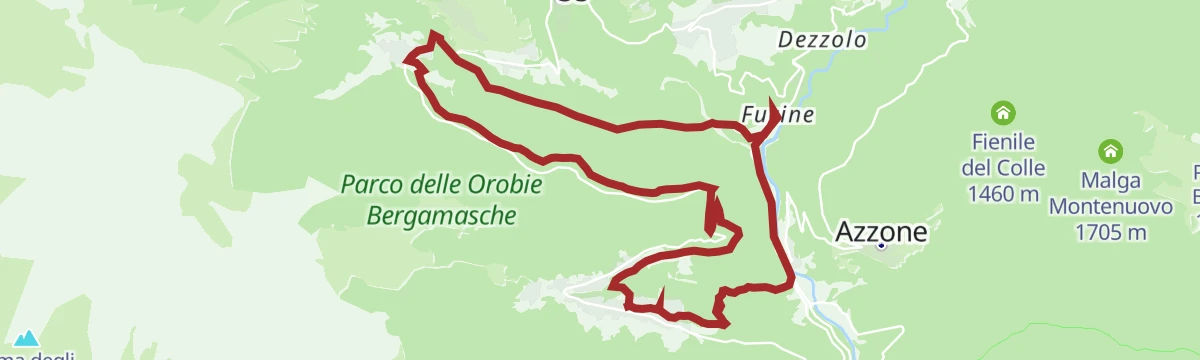
Barzesto, Vilminore di Scalve e frazioni in MTB
A climbing loop through the hamlets of the Val di Scalve between Schilpario and the main village, topping out at Comen at 1,319 m.
- 17.7 km
- Distance
- 996 m
- Ascent
- 2 h 40 min
- Duration
- 26
- Check-ins
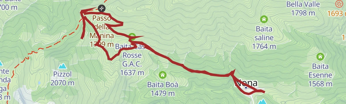
Trekking Nona-Passo della Manina
A walk from Nona to the Manina pass, the saddle between the Val di Scalve and the Val Seriana, where a small chapel was built in 1949.
- 8.3 km
- Distance
- 578 m
- Ascent
- 3 h 50 min
- Duration
- 25
- Check-ins
A scavalco del Monte Sasna
A crossing of Monte Sasna from Nona, the last hamlet of the Valbona above Vilminore, using the old track that climbs towards the Manina pass.
- 12.0 km
- Distance
- 957 m
- Ascent
- 6 h 14 min
- Duration
- 58
- Check-ins
Da Colere a Teveno in MTB
A hill ride linking two upper Val di Scalve villages above Vilminore in the Bergamo Alps, with a long and steady gain in height.
- 15.0 km
- Distance
- 725 m
- Ascent
- 2 h 2 min
- Duration
Diga del Gleno verso il Passo di Belvisio
A climb from the Gleno dam through two green basins and then bare high rock to the Belvisio pass, the valley rising in two steep steps.
- 7.7 km
- Distance
- 1 504 m
- Ascent
- 5 h 41 min
- Duration
- 57
- Check-ins
Salita al Gleno
A steep climb out of the Val di Scalve to the Gleno dam, whose collapse in 1923 destroyed the villages down the valley below it.
- 12.2 km
- Distance
- 1 172 m
- Ascent
- 6 h 56 min
- Duration
- 38
- Check-ins
Alla scoperta del Pizzo Tornello
A hard ascent of Pizzo Tornello in the Val di Scalve, the most isolated of the Bergamo valleys, running up from the flanks of the Presolana.
- 4.8 km
- Distance
- 1 533 m
- Ascent
- 5 h 21 min
- Duration
- 9
- Check-ins
No routes of this kind in Vilminore di Scalve yet.
The region's own picks
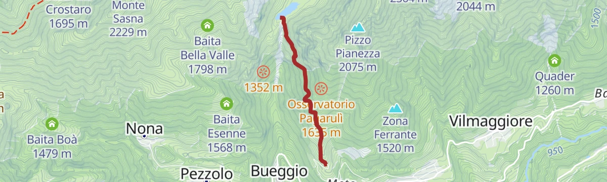
Featured route
Trekking alla Diga del Gleno
A short climb in the Val di Scalve to the ruins of the Gleno dam, which collapsed in 1923 and flooded the valley below.
Planning a trip to Vilminore di Scalve?
Everything else Lombardy has, in one place


Take Vilminore di Scalve with you into the mountains
Every route on this page with 3D terrain, GPX navigation and offline maps — including the valleys with no signal.
Data sources
- Official website: valseriana.eu ↗
- Routes and highlights: Val Seriana, in Lombardia, Visitbergamo
- Published as open data by the tourist boards named above.
- Region summary generated from the board's own material.
