










Curated by Klausen, Barbian, Villanders, Feldthurns
Villandro/Villanders
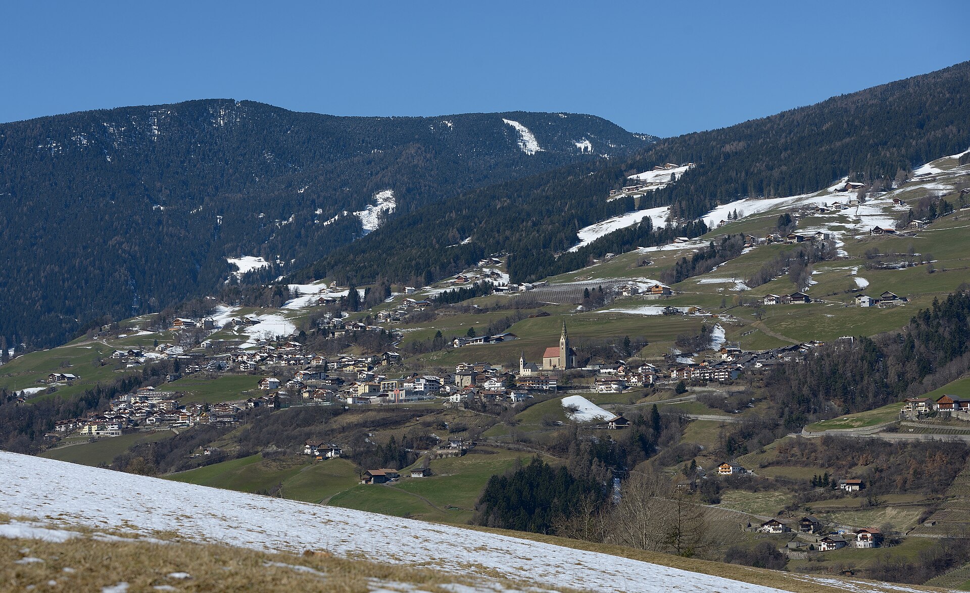
A terrace village on the sunny side of the Isarco valley, with the old Villandro silver mines and the Sarentine ridge above.
Photo: This Photo was taken by Wolfgang Moroder . Feel free to use my photos, but please mention me as the author and send me a message . This image is not in the public domain . Please respect the copyright protection. It may only be used according to the rules mentioned here. This specifically excludes use in social media , if applicable terms of the licenses listed here not appropriate. Please do not upload an updated image here without consultation with the Author. The author would like to make corrections only at his own source. This ensures that the changes are preserved. Please if you think that any changes should be required, please inform the author. Otherwise you can upload a new image with a new name. Please use one of the templates derivative or extract . · CC BY-SA 3.0 licence
- 3Highlights
- 40Routes
- Featured summit · Rittner Horn
Highlights
12 from neighbouring places
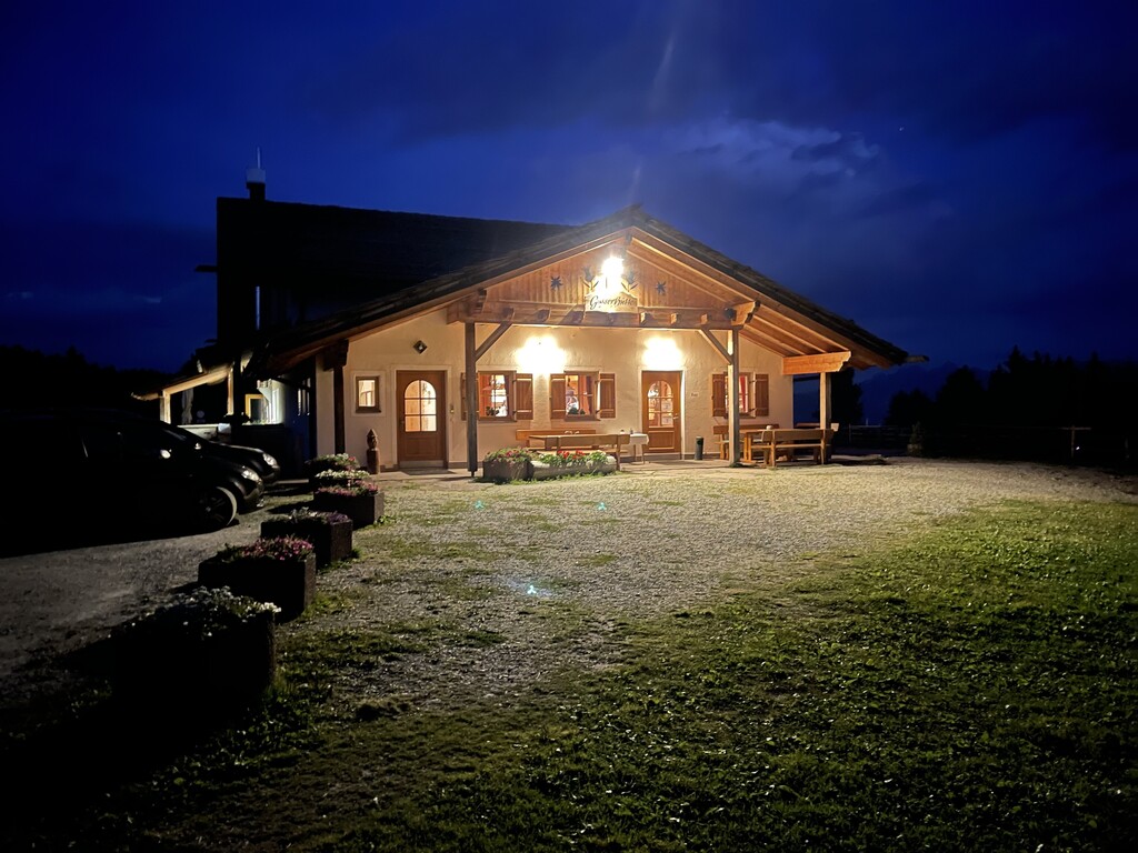
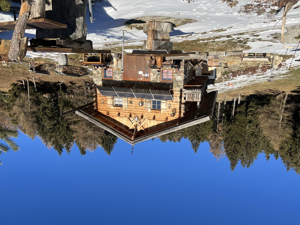
Gasser Hütte
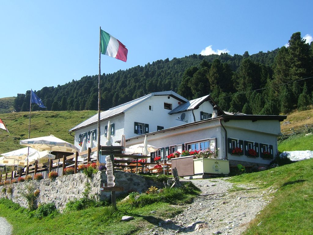
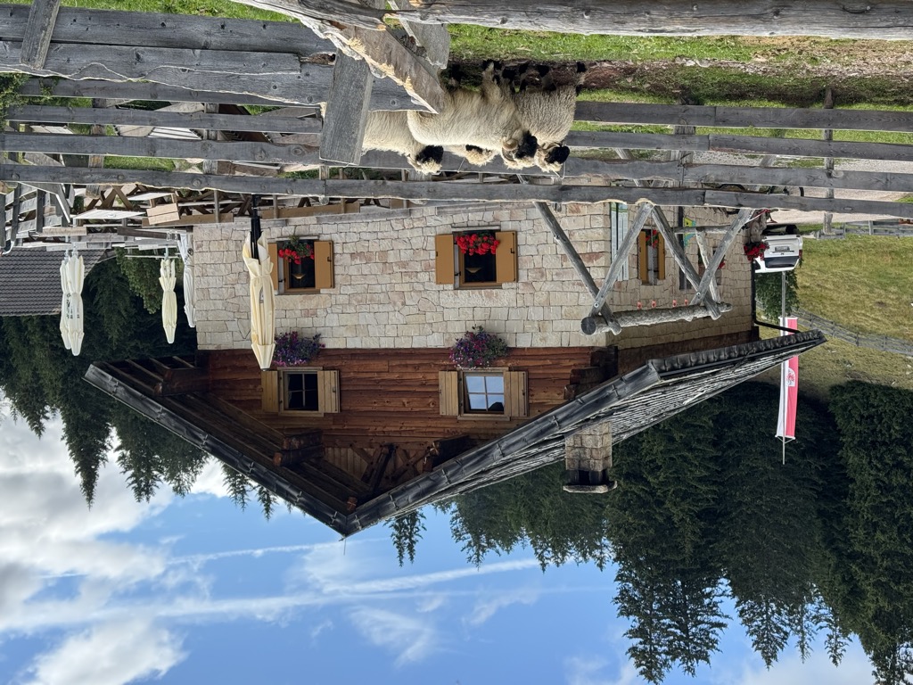
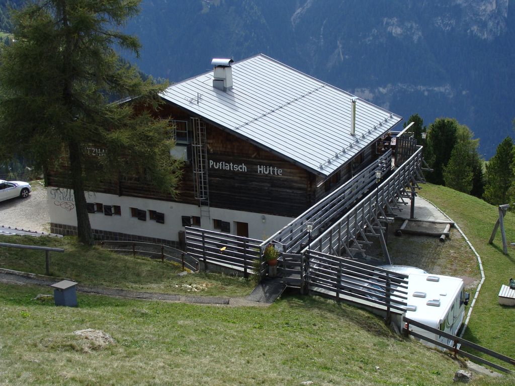
A hut on the Alpe di Villandro above Villandro, one of the wide grazing plateaux of the Alpi Sarentine.
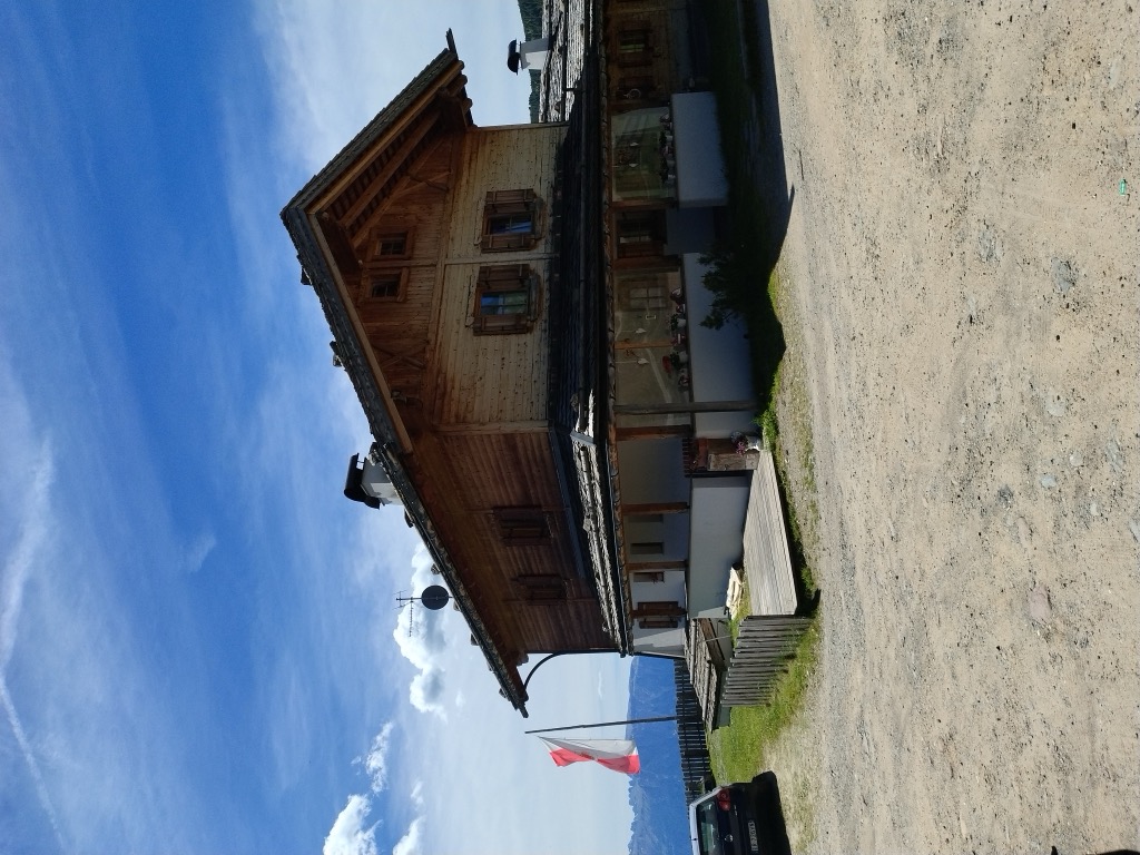
Malga Mair in Plun
A dairy hut on the Alpe di Villandro, on the pastures above Villandro in the Val Isarco.
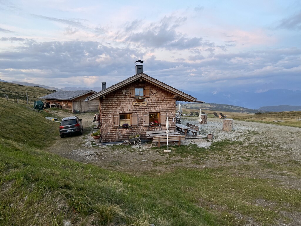
Sterzing, Pfitsch und FreienfeldMalga Pfroder
A dairy hut on the open ground of the Alpe di Villandro above Villandro, reached by the track from the valley.
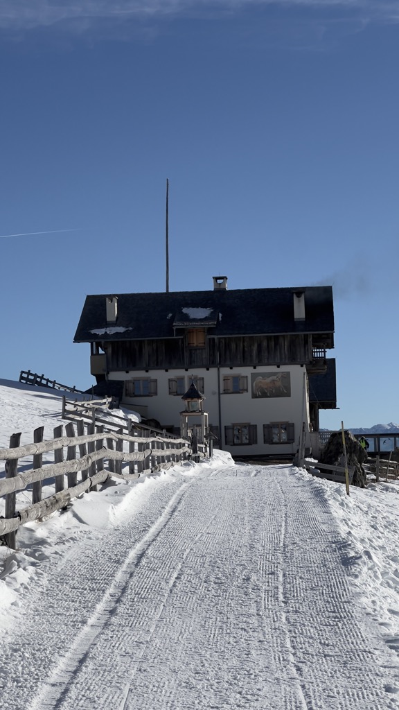
Sterzing, Pfitsch und FreienfeldStöfflhütte
2.7 km away, in Chiusa/Klausen
A hut on the pastures above Chiusa, on the Sarentine slopes east of the Val Isarco.
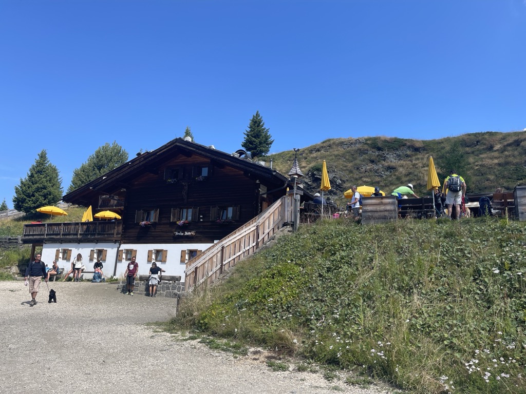
Sterzing, Pfitsch und FreienfeldSchutzhaus Rittner Horn
3.8 km away, in Barbiano/Barbian
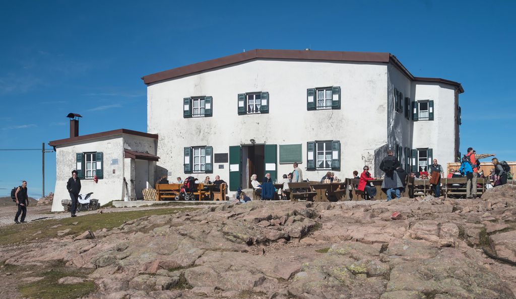
A refuge just below the summit of the Corno di Renon above Barbiano, reached from the Pemmern chairlift or on foot from Renon.
Sterzing, Pfitsch und FreienfeldBaita Feltuner
4.9 km away, in Barbiano/Barbian
A baita on the slopes above Barbiano, on the way up from the Val Isarco towards the Corno di Renon.
Feltuner Hütte
4.9 km away, in Barbiano/Barbian
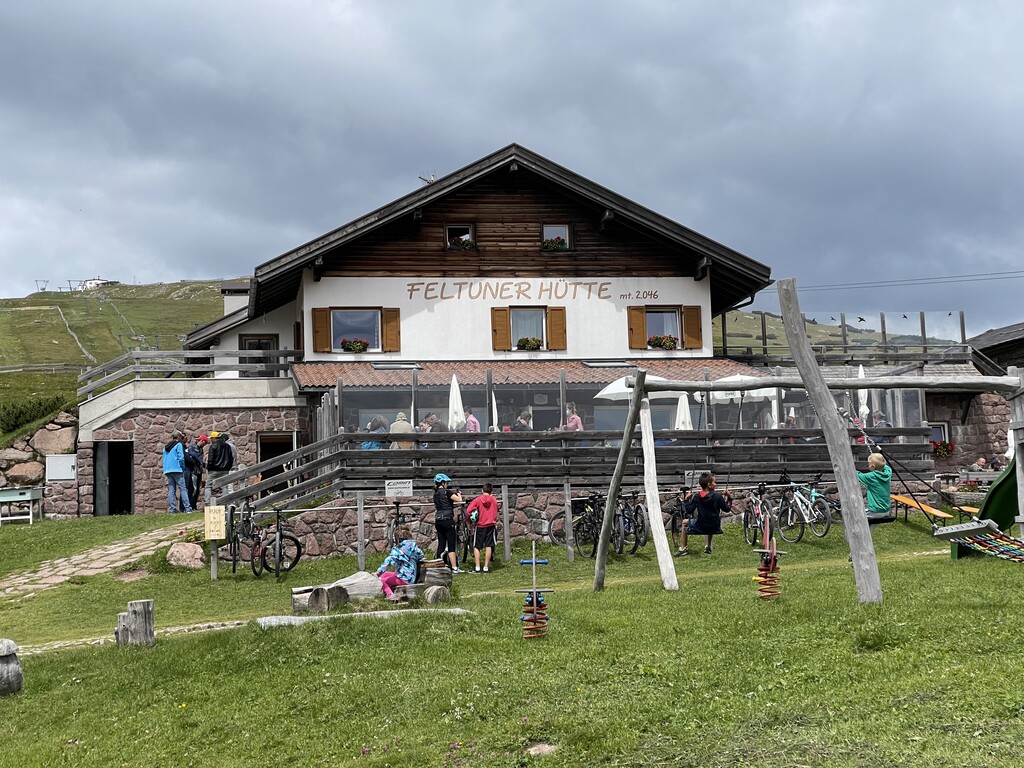
A hut on the pastures above Barbiano, below the long ridge of the Corno di Renon in the Alpi Sarentine.
Sterzing, Pfitsch und FreienfeldRifugio Latzfonser Kreuz
6.3 km away, in Chiusa/Klausen
A refuge below the Cima di Ega in the Alpi Sarentine, reached from Latzfons above Chiusa and long visited as a pilgrimage site.
Sterzing, Pfitsch und FreienfeldRifugio Chiusa al Campaccio
6.7 km away, in Chiusa/Klausen
A refuge on the wooded slopes above Chiusa, on the long climb from the Val Isarco towards the Latzfonser Kreuz.
Unterpulghütte
10.3 km away, in Laion/Lajen
A hut on the slopes above Laion, at the mouth of the Val Gardena in the Val Isarco.
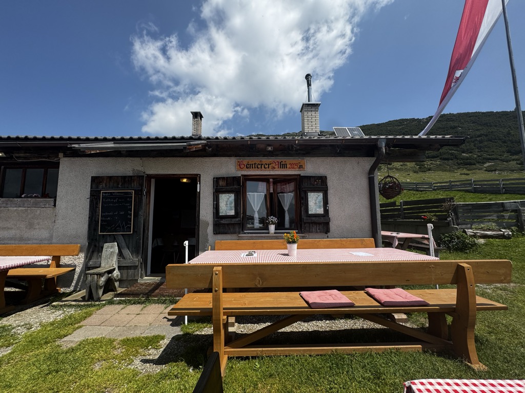
Sterzing, Pfitsch und FreienfeldGenterer Alm
10.4 km away, in Sarentino/Sarntal
A dairy hut on the Genter pastures of the Sarntal, above Sarentino, reached by the path that climbs through larch woods from the valley road.
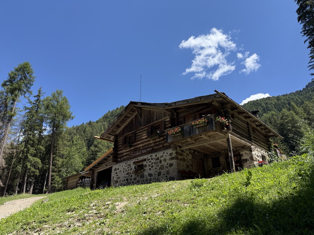
Sterzing, Pfitsch und FreienfeldMalga Schafstall
12.3 km away, in Castelrotto/Kastelruth
A hut at 1,500 m above Castelrotto, 15 minutes on path 9 from the Marinzen gondola top station, or on path 8 up from the village.
Sterzing, Pfitsch und FreienfeldRifugio Arnika
13.5 km away, in Castelrotto/Kastelruth
A hut at 2,059 m on the Bullaccia above Castelrotto, with a sun terrace and a children's playground, and in winter a ski taxi back to the Hexe piste.
Sterzing, Pfitsch und FreienfeldMalga Möltner Kaser
14.3 km away, in Meltina/Mölten
A dairy hut on the Salto plateau above Meltina, on the broad Tschögglberg ridge between the Adige and the Val Sarentino.
Sterzing, Pfitsch und FreienfeldRifugio Dibaita
14.4 km away, in Castelrotto/Kastelruth
A hut at 1,974 m on the Alpe di Siusi, 20 minutes on foot from the centre of Compaccio, looking from the Sciliar massif across to the Ortles group.
Sterzing, Pfitsch und Freienfeld
Nothing of this kind in Villandro/Villanders.
Routes
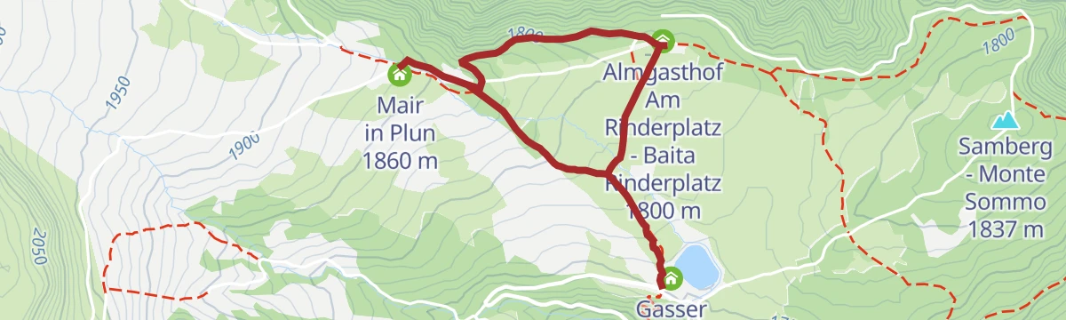
On the Villandro Alp plateau – ideal for families.
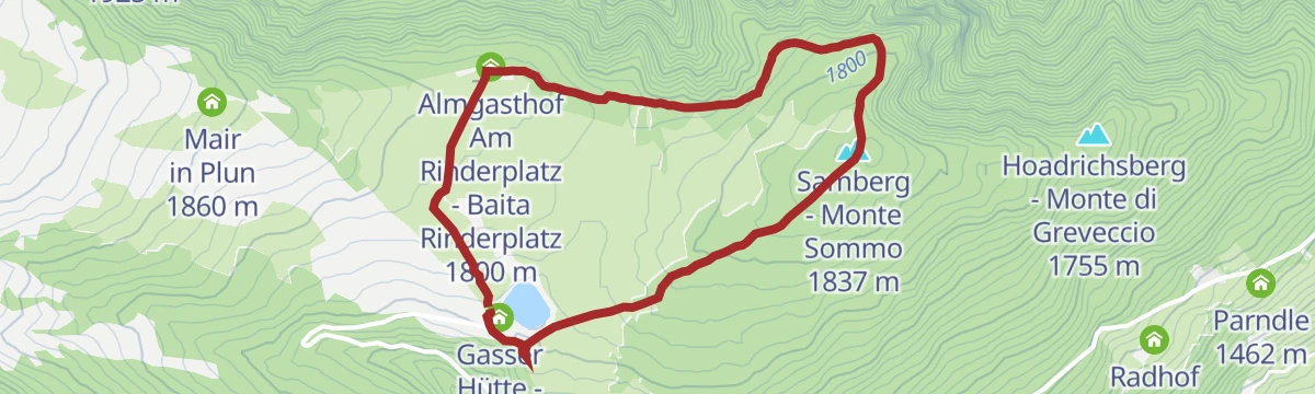
A pushchair-friendly circuit between huts on the Villandro alp, on paths through dwarf pines high above the Isarco valley, with a playground and animals for children.
- 3.6 km
- Distance
- 120 m
- Ascent
- 1 h 8 min
- Duration
- 48
- Check-ins
 Mair in Plun 1 860 m
- Gasser Hütte - Rifugio Gasser 1 756 m
- Almgasthof Am Rinderplatz - Baita Rinderplatz 1 800 m
Open route Klausen, Barbian, Villanders, FeldthurnsGasser Hütte- Rittner Horn
An easy climb from the Gasser hut on the Villandro alp to the Rittner Horn, one of the broadest viewpoints in South Tyrol.
- 6.4 km
- Distance
- 503 m
- Ascent
- 2 h 20 min
- Duration
- 131
- Check-ins
 Rittner Horn 2 261 m
- Rittner Horn Haus - Rifugio Corno del Renon 2 261 m
- Mair in Plun 1 860 m
- Gasser Hütte - Rifugio Gasser 1 756 m
 Gasteiger Sattel - Sella dei Sentieri 2 057 m
Open route Klausen, Barbian, Villanders, FeldthurnsSaltnerstein (Gasser Hut) – Cross "Latzfonser Kreuz" – Saltnerstein
A long day from the Gasser hut by the Stöffl hut to the Latzfonser Kreuz pilgrimage church, finishing up the Kassianspitze in the Sarentino Alps.
- 21.8 km
- Distance
- 1 035 m
- Ascent
- 7 h 34 min
- Duration
- 101
- Check-ins
- Kassianspitz 2 581 m
- Samspitze 2 563 m
- Mair in Plun 1 860 m
- Schutzhaus Latzfonser Kreuz - Rifugio Santa Croce di Lazfons 2 305 m
- Gasser Hütte - Rifugio Gasser 1 756 m
- Stöfflhütte - Rifugio Stöffl 2 057 m
- +3
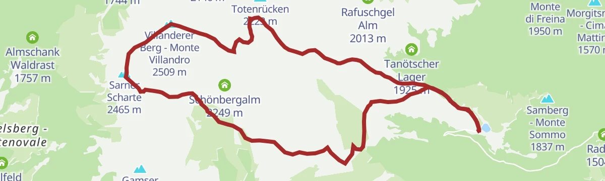
Open route Klausen, Barbian, Villanders, FeldthurnsMonte di Villandro
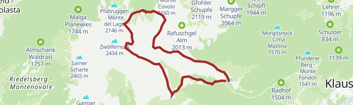
A ski tour past the Totenkirchl chapel and the Totensee to the top of Monte Villandro, over the wide pastures of the Villandro alp.
- 17.2 km
- Distance
- 842 m
- Ascent
- 836 m
- Descent
- 5 h 17 min
- Duration
- 100
- Check-ins
- Villanderer Berg - Monte Villandro 2 509 m
- Sarner Scharte 2 465 m
- Zwölfernock 2 434 m
- Mair in Plun 1 860 m
- Gasser Hütte - Rifugio Gasser 1 756 m
- Pfroderalm - Malga Pfroder 2 130 m
- +3
Open route Sterzing, Pfitsch und Freienfeld457 Dalle alture pittoresche al fascino delle città medievali: Da Castelrotto a Vipiteno
An e-bike traverse dropping from Castelrotto into the Eisacktal, then following the valley north to Vipiteno largely on surfaced roads.
- 65.4 km
- Distance
- 762 m
- Ascent
- 6 h 33 min
- Duration
- 80
- Check-ins
- Paterbichl 559 m
- Klammwirt 559 m
- Tourist Information 1 069 m
- Senfter 532 m
- Fürholz 554 m
- Hilm 488 m
- +10
Open route Seis am SchlernEisacktal Valley Bike Route: Brenner - Bozen
A long, almost entirely downhill valley ride from the Brenner border to Bozen, following the Eisack river the whole way.
- 96.5 km
- Distance
- 313 m
- Ascent
- 9 h 14 min
- Duration
- 185
- Check-ins
- Paterbichl 559 m
- Mila Bistro 282 m
- Klammwirt 559 m
- Hiasele 312 m
- Agrocenter Bozen OHG 296 m
- Senfter 532 m
- +22
Open route Gitschberg - JochtalWunderschön
A gentle circuit on the mountain pine path across the Villandro alp, with the pine oil distillery worth a stop along the way.
- 6.1 km
- Distance
- 181 m
- Ascent
- 1 h 53 min
- Duration
- 36
- Check-ins
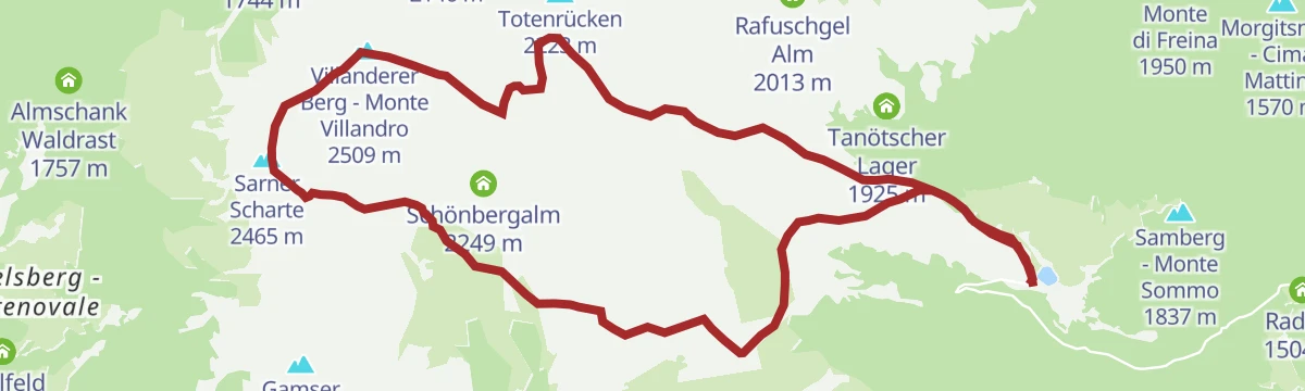
Saltnerstein (Gasser Hut) – church "Toten" – Saltnerstein
A high circuit from the Gasser hut above the Isarco valley to the Totenkirchl, the chapel of the dead on the Villandro alp.
- 14.4 km
- Distance
- 573 m
- Ascent
- 4 h 47 min
- Duration
- 90
- Check-ins
- Totenrücken 2 223 m
- Mair in Plun 1 860 m
- Gasser Hütte - Rifugio Gasser 1 756 m
- Pfroderalm - Malga Pfroder 2 130 m
- Stöfflhütte - Rifugio Stöffl 2 057 m
- Gostner Lerch 1 918 m
- +2
Open route Klausen, Barbian, Villanders, FeldthurnsFrom the Villanderer Alm pasture to the Villanderer Berg mountain
A stiff climb through pine forest and meadow onto the Villandro alp and up Monte Villandro, which looks down on the Totensee.
- 17.4 km
- Distance
- 844 m
- Ascent
- 6 h 14 min
- Duration
- 100
- Check-ins
- Villanderer Berg - Monte Villandro 2 509 m
- Sarner Scharte 2 465 m
- Zwölfernock 2 434 m
- Mair in Plun 1 860 m
- Gasser Hütte - Rifugio Gasser 1 756 m
- Pfroderalm - Malga Pfroder 2 130 m
- +3
Open route BrixenCastelfeder – Bolzano – Valle Isarco
The Adige cycle path from the Bolzano basin up the Isarco valley by Chiusa toward Bressanone.
- 76.1 km
- Distance
- 617 m
- Ascent
- 7 h 12 min
- Duration
- 183
- Check-ins
- Paterbichl 559 m
- Mila Bistro 282 m
- Kampill Center 270 m
- Klammwirt 559 m
- Hiasele 312 m
- Agrocenter Bozen OHG 296 m
- +17
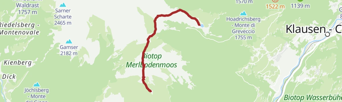
Open route Südtirols SüdenDie Hochmoore auf der Villanderer Alm
An easy loop over the raised bogs of the Villandro alp, past the knoll of Monte Sommo on the open plateau.
- 4.4 km
- Distance
- 114 m
- Ascent
- 1 h 18 min
- Duration
- 25
- Check-ins
- Samberg - Monte Sommo 1 837 m
- Gasser Hütte - Rifugio Gasser 1 756 m
- Almgasthof Am Rinderplatz - Baita Rinderplatz 1 800 m
Open route Valle Isarco - EisacktalCircular route Alp of Villanders/Villandro
A circuit of the Villandro alp, a broad plateau of pasture, moor and small lakes between the Tinne and Zargen streams, with dairy huts along the way.
- 13.2 km
- Distance
- 487 m
- Ascent
- 4 h 17 min
- Duration
- 77
- Check-ins
- Mair in Plun 1 860 m
- Gasser Hütte - Rifugio Gasser 1 756 m
- Pfroderalm - Malga Pfroder 2 130 m
- Almgasthof Am Rinderplatz - Baita Rinderplatz 1 800 m
- Gostner Lerch 1 918 m
- Prackfiederer Jöchl 2 088 m
- +3
Open route Klausen, Barbian, Villanders, FeldthurnsMonte di Villandro/Villanderer Berg
A climb past the Totenkirchl and the Totensee to the summit of Monte Villandro at the top of the alp.
- 17.0 km
- Distance
- 824 m
- Ascent
- 6 h 5 min
- Duration
- 100
- Check-ins
- Villanderer Berg - Monte Villandro 2 509 m
- Sarner Scharte 2 465 m
- Zwölfernock 2 434 m
- Mair in Plun 1 860 m
- Gasser Hütte - Rifugio Gasser 1 756 m
- Pfroderalm - Malga Pfroder 2 130 m
- +3
Open route Klausen, Barbian, Villanders, FeldthurnsVillanders Alpine Pasture Tour
A hard climb onto the Villanderer Alm and up to the Schutzhaus Latzfonser Kreuz at 2,305 m, past the Klausner and Stöffl huts.
- 37.8 km
- Distance
- 2 090 m
- Ascent
- 5 h 37 min
- Duration
- 138
- Check-ins
- Mair in Plun 1 860 m
- Schutzhaus Latzfonser Kreuz - Rifugio Santa Croce di Lazfons 2 305 m
- Gasser Hütte - Rifugio Gasser 1 756 m
- Klausner Hütte - Rifugio Chiusa al Campaccio 1 920 m
- Stöfflhütte - Rifugio Stöffl 2 057 m
- Hotel Sambergerhof 1 500 m
- +12
Open route Klausen, Barbian, Villanders, FeldthurnsOn the Villanderer Alm plateau
A short, level walk on the plateau of the Villandro alp, among pasture, moor and grazing cattle.
- 3.1 km
- Distance
- 93 m
- Ascent
- 57 min
- Duration
- 24
- Check-ins
Open route Valle Isarco - EisacktalTo the Stöffelhütte in the Alps of Villanders
A walk over the flat moorland of the Villandro alp to the Stöffl hut, open the whole way towards the line of the Dolomites.
- 13.6 km
- Distance
- 463 m
- Ascent
- 4 h 12 min
- Duration
- 69
- Check-ins
- Mair in Plun 1 860 m
- Gasser Hütte - Rifugio Gasser 1 756 m
- Stöfflhütte - Rifugio Stöffl 2 057 m
- Almgasthof Am Rinderplatz - Baita Rinderplatz 1 800 m
- Gostner Lerch 1 918 m
- Gfohler Schupfe 2 119 m
Open route Klausen, Barbian, Villanders, FeldthurnsSaltnerstein (Gasser Hut) - Mountain of Villanders
A long round from the Gasser hut over the Villandro alp to Monte Villandro, by the Sarner Scharte and the Totensee with the Dolomites in sight.
- 17.2 km
- Distance
- 833 m
- Ascent
- 6 h 9 min
- Duration
- 100
- Check-ins
- Villanderer Berg - Monte Villandro 2 509 m
- Sarner Scharte 2 465 m
- Zwölfernock 2 434 m
- Mair in Plun 1 860 m
- Gasser Hütte - Rifugio Gasser 1 756 m
- Pfroderalm - Malga Pfroder 2 130 m
- +3
Open route Klausen, Barbian, Villanders, Feldthurns457 From picturesque heights to medieval town flair - from Kastelruth to Sterzing
A long valley ride from the terrace above the Eisack down to the river, then north past Paterbichl to Sterzing, mostly on paved paths.
- 65.0 km
- Distance
- 758 m
- Ascent
- 6 h 31 min
- Duration
- 76
- Check-ins
- Paterbichl 559 m
- Klammwirt 559 m
- Tourist Information 1 069 m
- Senfter 532 m
- Fürholz 554 m
- Hilm 488 m
- +9
Open route SterzingFrom Villanders to St. Moritz/Sauders
A short walk down from Villandro to the hamlet of Sauders, with its baroque church, on the terraces above the Isarco.
- 3.2 km
- Distance
- 148 m
- Ascent
- 1 h 7 min
- Duration
- 4
- Check-ins
Open route Valle Isarco - EisacktalTo the Stöfflhütte on the Villanderer Alm
A steady route across the Villandro alp to the Stöffl hut, one of the dairies that serve walkers on the plateau.
- 14.3 km
- Distance
- 421 m
- Ascent
- 4 h 23 min
- Duration
- 69
- Check-ins
- Mair in Plun 1 860 m
- Gasser Hütte - Rifugio Gasser 1 756 m
- Stöfflhütte - Rifugio Stöffl 2 057 m
- Almgasthof Am Rinderplatz - Baita Rinderplatz 1 800 m
- Gostner Lerch 1 918 m
- Gfohler Schupfe 2 119 m
Open route Valle Isarco - EisacktalFrom Villanders to Totensee
A long climb from Villandro up to the Totensee, the small lake in the hollow below Monte Villandro.
- 15.3 km
- Distance
- 673 m
- Ascent
- 5 h 15 min
- Duration
- 54
- Check-ins
- Mair in Plun 1 860 m
- Gasser Hütte - Rifugio Gasser 1 756 m
- Gasteiger Sattel - Sella dei Sentieri 2 057 m
- Prackfiederer Jöchl 2 088 m
- Seebergalm - Malga Seeberg 2 095 m
- Moar in Ums 2 055 m
Open route Valle Isarco - EisacktalSt. Anne´s Miners´ Chapel
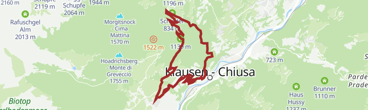
A climb above Villanders past Gravetsch Castle to the old miners' chapel, returning through the Tinne valley and Klausen.
- 16.5 km
- Distance
- 691 m
- Ascent
- 2 h 7 min
- Duration
- 15
- Check-ins
- Moränenhügel "Peterwirtshügel" 841 m
- Paterbichl 559 m
- Tourism Office 867 m
- Gasthaus Mühlele Albergo 833 m
- Schuster 834 m
- Mayrhofer 740 m
Open route Klausen, Barbian, Villanders, FeldthurnsGuided tour of the village center with visit to the Archeoparc
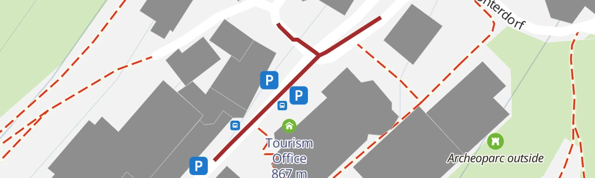
A short guided walk through the centre of Villandro with a visit to the Archeoparc, meeting outside the information office.
- 115 m
- Distance
- 0 m
- Ascent
- 2 min
- Duration
- 4
- Check-ins
Open route Klausen, Barbian, Villanders, FeldthurnsGasserhütte-Marzuner Alm-Stöfflhütte
A hut-to-hut walk on the high plateau of the Villandro alp, from the Gasser hut by the Marzun alm to the Stöffl hut.
- 6.9 km
- Distance
- 411 m
- Ascent
- 2 h 22 min
- Duration
- 62
- Check-ins
- Mair in Plun 1 860 m
- Gasser Hütte - Rifugio Gasser 1 756 m
- Stöfflhütte - Rifugio Stöffl 2 057 m
- Gostner Lerch 1 918 m
Open route Klausen, Barbian, Villanders, FeldthurnsFrom Villanders to the "Totensee"
A climb from Villandro to the Totenkirchl chapel and the Totensee on the flank of Monte Villandro.
- 15.0 km
- Distance
- 682 m
- Ascent
- 5 h 13 min
- Duration
- 54
- Check-ins
- Mair in Plun 1 860 m
- Gasser Hütte - Rifugio Gasser 1 756 m
- Gasteiger Sattel - Sella dei Sentieri 2 057 m
- Prackfiederer Jöchl 2 088 m
- Seebergalm - Malga Seeberg 2 095 m
- Moar in Ums 2 055 m
Open route Klausen, Barbian, Villanders, FeldthurnsVillanders - Sauders - Villanders
A short loop from Villandro down the Keschtnweg to Sauders and its baroque church of Saint Maurice, returning by the old church path.
- 3.3 km
- Distance
- 167 m
- Ascent
- 1 h 13 min
- Duration
- 4
- Check-ins
Open route Klausen, Barbian, Villanders, FeldthurnsLarch pine trail on the Villanderer Alm
A circuit through the larch and dwarf pine of the Villandro alp, on gentle ground across the plateau.
- 7.4 km
- Distance
- 217 m
- Ascent
- 2 h 16 min
- Duration
- 55
- Check-ins
- Mair in Plun 1 860 m
- Gasser Hütte - Rifugio Gasser 1 756 m
- Almgasthof Am Rinderplatz - Baita Rinderplatz 1 800 m
- Gostner Lerch 1 918 m
- Marzuner Schupfe 1 935 m
Open route Valle Isarco - EisacktalFamily trail on the alps of Villanders
A short family walk on a rough path through woodland from the Speckboden parking up to the Gasser hut on the Villandro alp.
- 1.2 km
- Distance
- 156 m
- Ascent
- 38 min
- Duration
Open route Klausen, Barbian, Villanders, FeldthurnsThe Latschenkieferweg trail on the Villanderer Alm
An easy circuit over the high moors of the Villandro alp, some twenty square kilometres of pasture, with the Dolomites across the valley.
- 7.3 km
- Distance
- 259 m
- Ascent
- 2 h 21 min
- Duration
- 55
- Check-ins
- Mair in Plun 1 860 m
- Gasser Hütte - Rifugio Gasser 1 756 m
- Almgasthof Am Rinderplatz - Baita Rinderplatz 1 800 m
- Gostner Lerch 1 918 m
- Marzuner Schupfe 1 935 m
Open route BrixenHotel Sambergerhof – Alp of Villanders – Hotel Sambergerhof
A circuit from the Sambergerhof through one of the great moorlands of the Eastern Alps, by the Rinderplatz and Gasser huts.
- 10.4 km
- Distance
- 352 m
- Ascent
- 3 h 18 min
- Duration
- 39
- Check-ins
- Samberg - Monte Sommo 1 837 m
- Gasser Hütte - Rifugio Gasser 1 756 m
- Hotel Sambergerhof 1 500 m
- Radhof 1 504 m
- Almgasthof Am Rinderplatz - Baita Rinderplatz 1 800 m
Open route Klausen, Barbian, Villanders, FeldthurnsVillanders - Gasser Hütte
A stiff climb from the centre of Villandro past the Defreggergasse and the village cemetery up to the Gasser hut on the alp.
- 5.9 km
- Distance
- 884 m
- Ascent
- 3 h 27 min
- Duration
- 23
- Check-ins
Open route Klausen, Barbian, Villanders, FeldthurnsVillanders - Bad Dreikrichen - Briol - Barbian Wasserfall - Barbian
A traverse from Villandro to the chapels of Bad Dreikirchen and the Briol inn, then down past the Barbiano waterfall to the village.
- 9.3 km
- Distance
- 569 m
- Ascent
- 4 h
- Duration
- 16
- Check-ins
- Einäugl 1 311 m
- Tourismusverein Klausen, Barbian, Feldthurns und Villanders - Associazione Turistica di Barbiano 840 m
- Baumhaus Isidor 1 314 m
- Kasserol 1 294 m
- Stangen 1 390 m
- Briol - Haupthaus 1 312 m
Open route Klausen, Barbian, Villanders, FeldthurnsVillanders-Flor-Three Churches "Dreikirchen"-Villanders
A loop from Villandro by Flor to the three linked churches of Dreikirchen and back along the slope above the Isarco.
- 10.0 km
- Distance
- 514 m
- Ascent
- 3 h 44 min
- Duration
- 15
- Check-ins
Open route Klausen, Barbian, Villanders, FeldthurnsVillanders - Klausen - Villanders
A link between Villandro and Chiusa on the chestnut trail, returning up through the village vineyards from the medieval town.
- 6.7 km
- Distance
- 395 m
- Ascent
- 2 h 45 min
- Duration
- 10
- Check-ins
Open route Klausen, Barbian, Villanders, FeldthurnsAlla miniera di Villandro
A walk up to the old workings of the Villandro mine, in use since the twelfth century, high on the slope above the Isarco valley.
- 8.0 km
- Distance
- 803 m
- Ascent
- 4 h 19 min
- Duration
- 6
- Check-ins
Open route Sterzing, Pfitsch und FreienfeldChestnut Trail: Chiusa-Villandro-Barbiano
The third stage of the Keschtnweg from Chiusa by Villandro to Barbiano, past chestnut groves, farms and village centres above the Isarco valley.
- 6.0 km
- Distance
- 443 m
- Ascent
- 2 h 26 min
- Duration
- 5
- Check-ins
Open route Klausen, Barbian, Villanders, FeldthurnsBarbian/Barbiano-San Maurizio/Sauders ( Villanders/Villandro)- Farm winterle- Barbian/Barbiano
A stretch of the Keschtnweg chestnut route from Barbiano to Sauders in Villandro, with a sharp drop at the start and a return by the Winterle farm.
- 11.3 km
- Distance
- 558 m
- Ascent
- 4 h 6 min
- Duration
- 4
- Check-ins
- Tourismusverein Klausen, Barbian, Feldthurns und Villanders - Associazione Turistica di Barbiano 840 m
- Parkplatz Bad Dreikirchen 962 m
- Säge 923 m
Open route Klausen, Barbian, Villanders, FeldthurnsFrom Villanders to the St. Anna Chapel
A walk up from Villandro by the Gravetsch residence to the chapel of Saint Anna at Rotlahn, on the edge of the forest.
- 7.5 km
- Distance
- 418 m
- Ascent
- 2 h 57 min
- Duration
- 4
- Check-ins
Open route BrixenFrom Villanders to the chapel Saint Anna
A climb from Villandro by way of the Saint Anna chapel to the old Villandro mine on the slope above the village.
- 5.1 km
- Distance
- 488 m
- Ascent
- 2 h 9 min
- Duration
- 4
- Check-ins
Open route Klausen, Barbian, Villanders, FeldthurnsVillandro Törggelen Trail
An autumn route through the vineyards and chestnut groves above Villandro, calling at farmsteads as the peaks turn red at dusk.
- 8.4 km
- Distance
- 335 m
- Ascent
- 2 h 48 min
- Duration
- 4
- Check-ins
Open route Klausen, Barbian, Villanders, Feldthurns
No routes of this kind in Villandro/Villanders yet.
The region's own picks
Featured route
On the Villandro Alp plateau – ideal for families.
A pushchair-friendly circuit between huts on the Villandro alp, on paths through dwarf pines high above the Isarco valley, with a playground and animals for children.
Planning a trip to Villandro/Villanders?
Everything else Trentino-Alto Adige/Südtirol has, in one place


Take Villandro/Villanders with you into the mountains
Every route on this page with 3D terrain, GPX navigation and offline maps — including the valleys with no signal.
Data sources
- Official website: klausen.it ↗
- Routes and highlights: Klausen, Barbian, Villanders, Feldthurns, Sterzing, Pfitsch und Freienfeld, Valle Isarco - Eisacktal, Brixen, Seis am Schlern, Gitschberg - Jochtal, Klausen, Barbian, Feldthurns & Villanders, Südtirols Süden, Sterzing
- Published as open data by the tourist boards named above.
- Region summary generated from the board's own material.
