












Curated by Sterzing, Pfitsch und Freienfeld
Velturno/Feldthurns
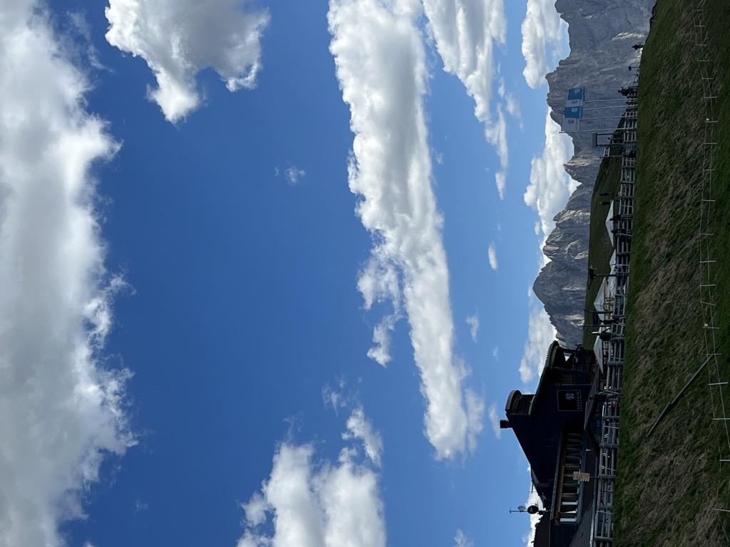
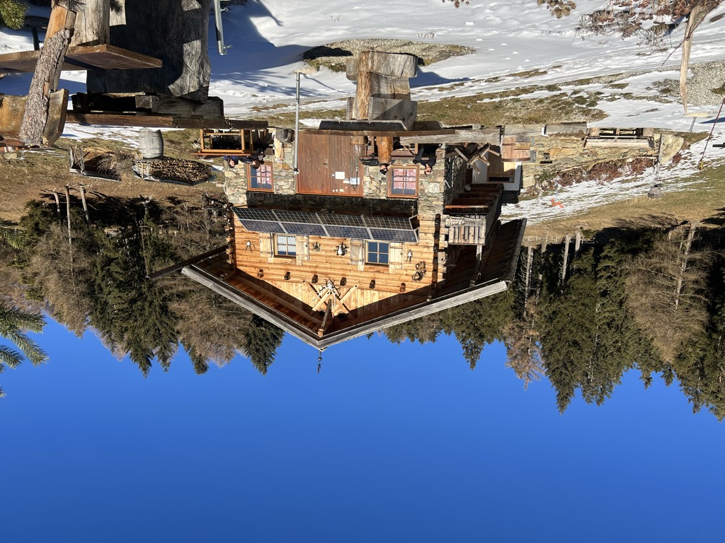
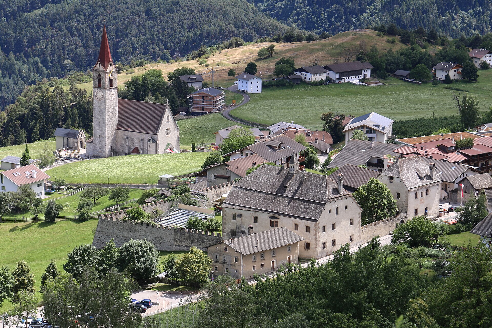
Isarco valley comune above Chiusa, with a bishops' summer castle, an archaeology park and the Radlsee hut on the ridge.
- 15Highlights
- 26Routes
- Featured summit · Königsanger - Monte del Pascolo
Highlights
All 15 from neighbouring places
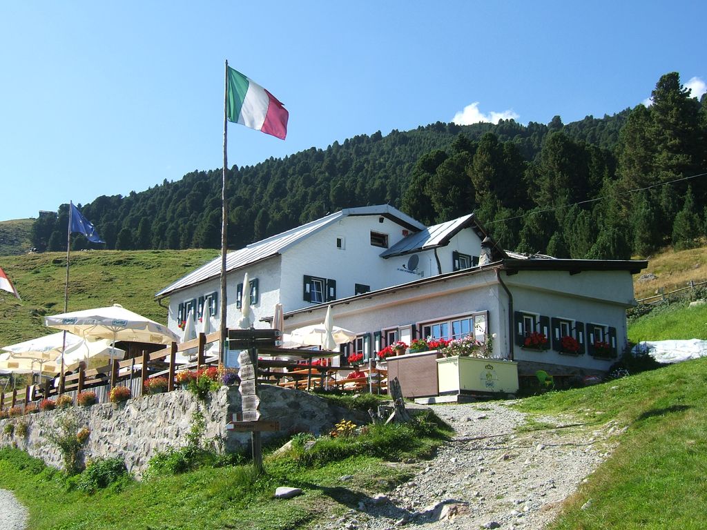
Rifugio Chiusa al Campaccio
5.8 km away, in Chiusa/Klausen
A refuge on the wooded slopes above Chiusa, on the long climb from the Val Isarco towards the Latzfonser Kreuz.
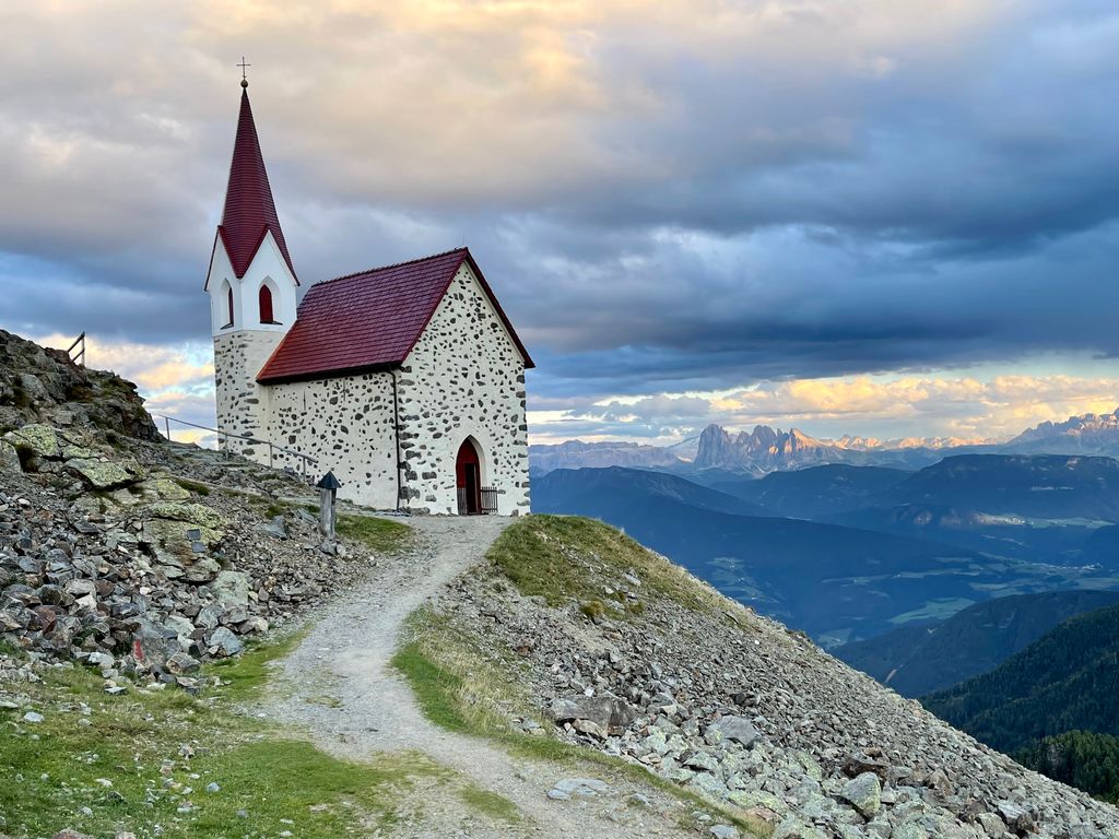
Rifugio Latzfonser Kreuz
7.5 km away, in Chiusa/Klausen
A refuge below the Cima di Ega in the Alpi Sarentine, reached from Latzfons above Chiusa and long visited as a pilgrimage site.
Sterzing, Pfitsch und FreienfeldZirmaitalm
8.5 km away, in Varna/Vahrn
A dairy hut on the pastures above Varna, north of Bressanone in the Val Isarco.
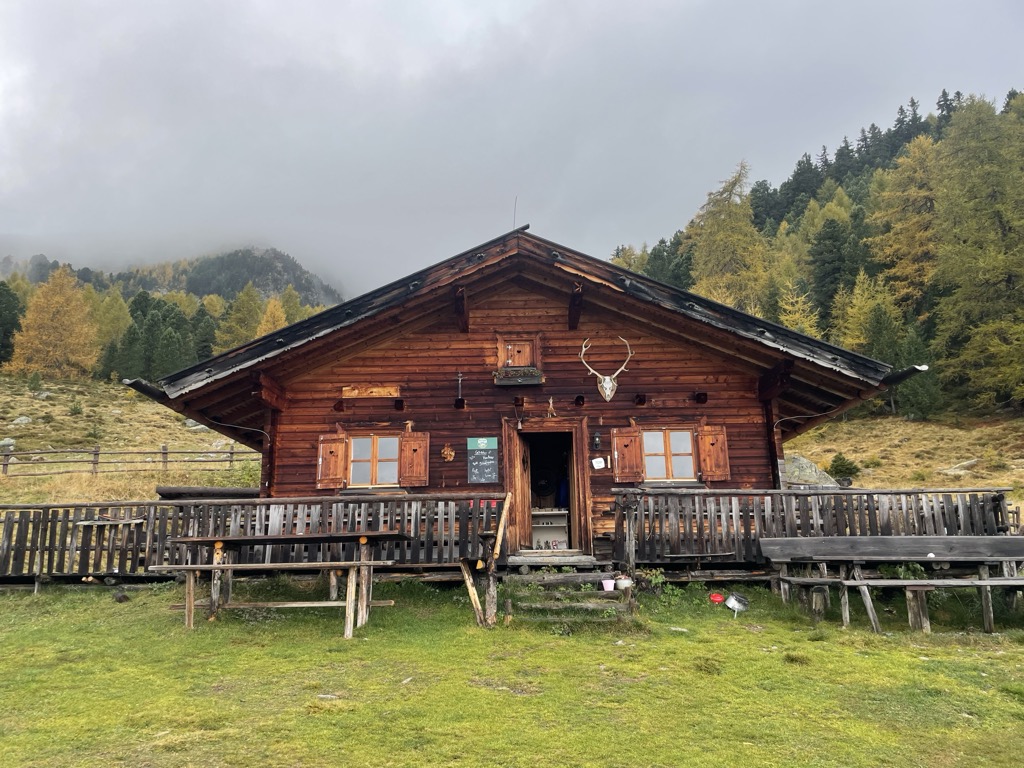
Sterzing, Pfitsch und FreienfeldStöfflhütte
9.3 km away, in Chiusa/Klausen
A hut on the pastures above Chiusa, on the Sarentine slopes east of the Val Isarco.
Sterzing, Pfitsch und FreienfeldAlbergo Rossalm
11 km away, in Bressanone/Brixen
A pasture inn on the Plose above Bressanone, among the open ridge walks that run south from the Plose lifts toward the Aferer Geisler.
Rifugio Schatzerhütte
12.2 km away, in Bressanone/Brixen
A refuge on the wooded terraces of the Plose above Bressanone, on the traverse between the Plose slopes and the Aferer Geisler, in the Eisacktal.
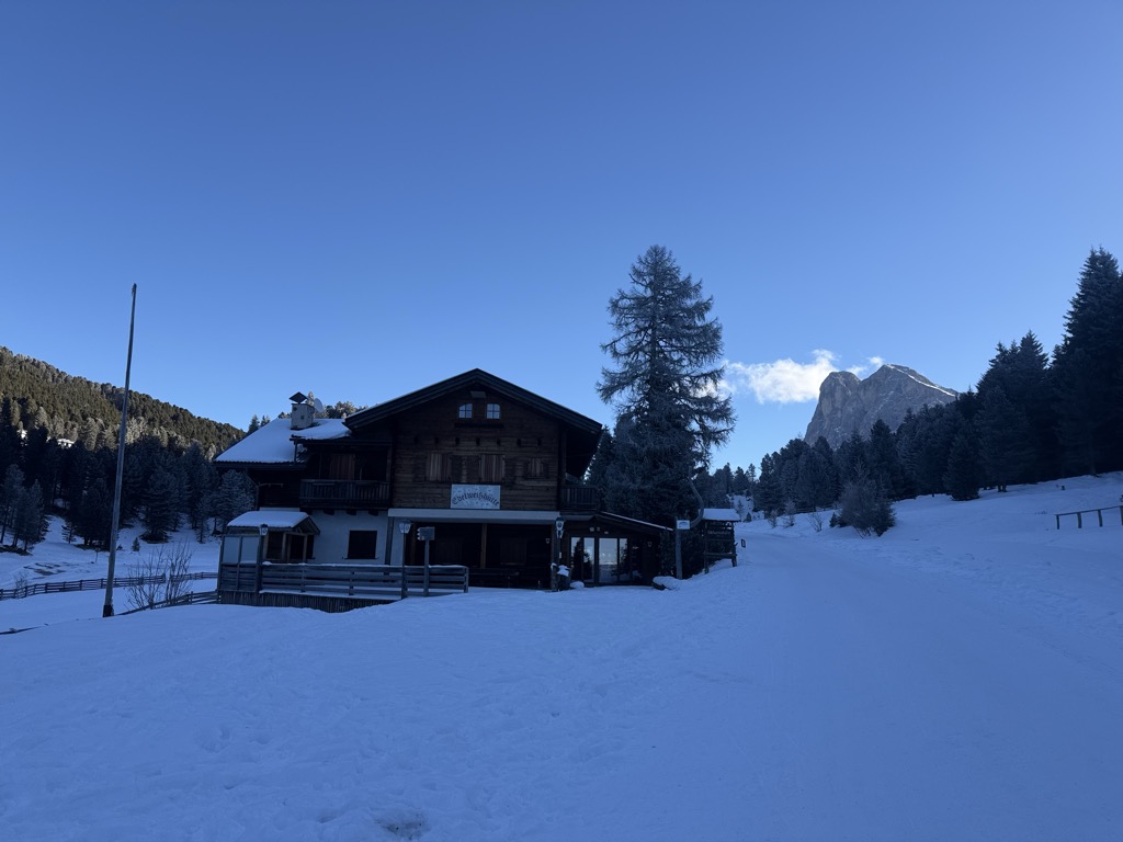
Edelweißhütte
13.5 km away, in Funes/Villnöß
A hut at 1,841 m at the foot of the Sass de Putia, standing directly on the road over the Passo delle Erbe above Funes.
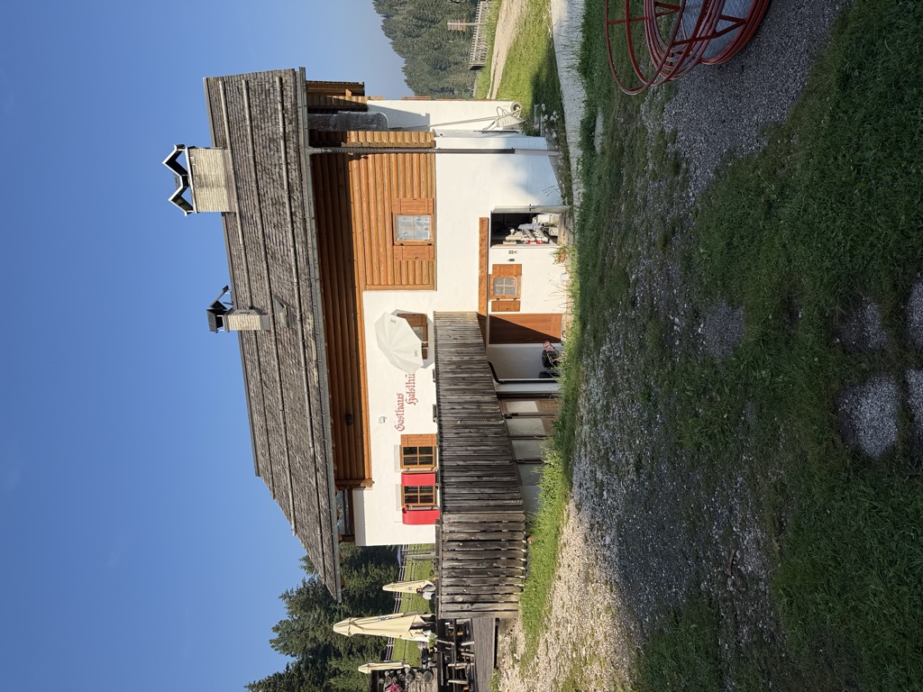
Albergo Halslhütte
13.6 km away, in Funes/Villnöß
A guest house at 1,866 m above Funes on the western edge of the Puez-Odle park, its kitchen known for stew and dumplings, game, and Kaiserschmarrn.
Halslhütte
13.6 km away, in Funes/Villnöß
A Tyrolean mountain inn at 1,866 m above Funes, with terrace, garden and playground, on the way from S. Maddalena over the Halsl to the Passo delle Erbe.
Rifugio delle Odle
13.8 km away, in Funes/Villnöß
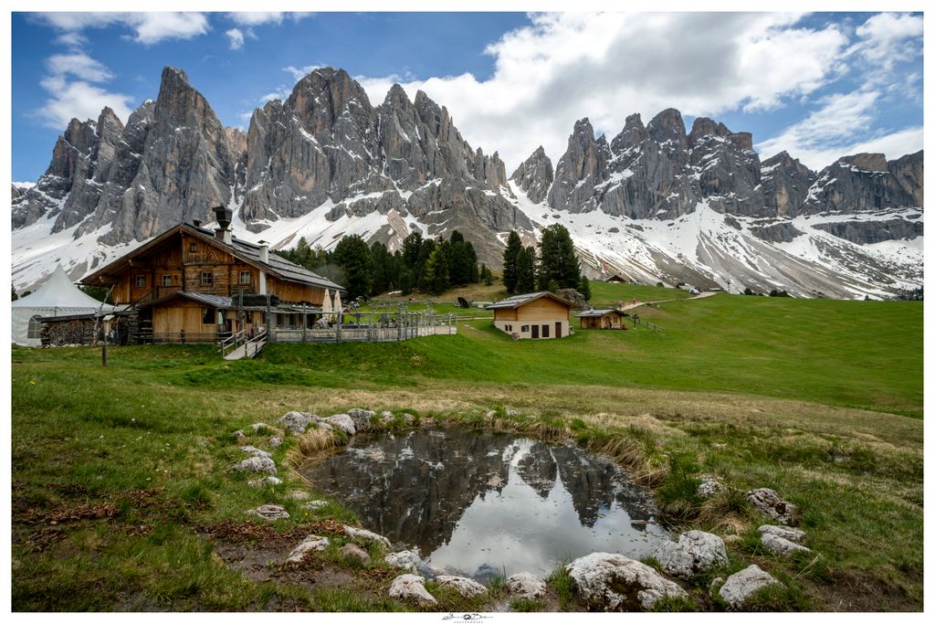
A hut at 1,996 m under the walls of the Odle in the Val di Funes, at the top of the pastures on the western edge of the Puez-Odle park.
Malga Geisleralm
13.8 km away, in Funes/Villnöß
A family hut at 1,996 m below the Odle above Funes, with a Tyrolean stube, a wide terrace and its own Geisler cinema.
Malga Casnago
13.9 km away, in Funes/Villnöß
A pasture hut at 2,006 m on the Funes side of the Odle, on the Dolorama trail, cooking traditional Tyrolean dishes from the produce of local farms.
Malga Dusler
13.9 km away, in Funes/Villnöß
A pasture hut at 1,800 m above Funes looking across to the Odle, on the Geisler circular hike, its menu built on the local Tyrolean kitchen.
Sterzing, Pfitsch und FreienfeldMalga Glatsch
14.6 km away, in Funes/Villnöß
A quiet hut at 1,906 m among the firs at the foot of the Odle above Funes, standing on the Adolf Munkel trail and cooking with herbs from its own garden.
Unterpulghütte
7.9 km away, in Laion/Lajen
A hut on the slopes above Laion, at the mouth of the Val Gardena in the Val Isarco.
Sterzing, Pfitsch und Freienfeld
Nothing of this kind in Velturno/Feldthurns.
Routes
Chestnut Trail from Feldthurns to Klausen
A section of the chestnut route from Velturno down to Chiusa, through mixed woods, meadows and chestnut groves above the Isarco.
- 6.0 km
- Distance
- 106 m
- Ascent
- 1 h 58 min
- Duration
- 1
- Check-ins
Open route Klausen, Barbian, Villanders, FeldthurnsLatzfons High Altitude Trail
A high traverse in the Sarentino Alps from the Klausner Hütte to the Radlsee, over alpine meadow and through stone pine forest facing the Dolomites.
- 10.6 km
- Distance
- 559 m
- Ascent
- 4 h 1 min
- Duration
- 24
- Check-ins
 Klausner Hütte - Rifugio Chiusa al Campaccio 1 920 m
- Hoferschupfe 1 775 m
- Brugger-Schupfe 1 999 m
- Untergostner Schupfe - Malga Frotscher 1 895 m
Open route Klausen, Barbian, Villanders, FeldthurnsGarn - Königanger peak - Radlsee lake
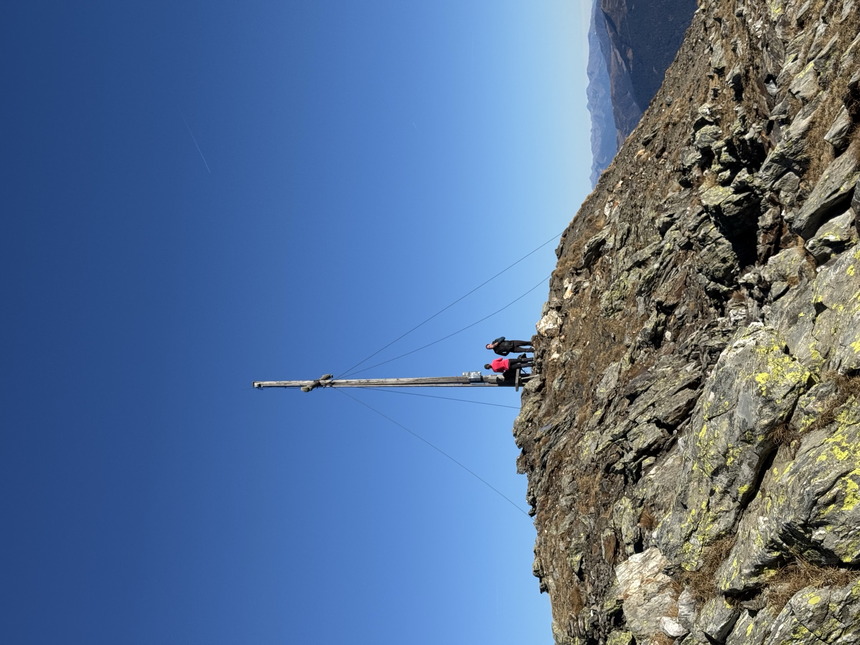
A climb from Garn past the Stoanernes Mandl cairn to the Königsanger in the Sarntal Alps, returning by the Radlsee hut and its lake.
- 13.6 km
- Distance
- 1 064 m
- Ascent
- 6 h 53 min
- Duration
- 35
- Check-ins
 Königsanger - Monte del Pascolo 2 437 m
- Muntschegge 2 164 m
- Kühbühl - Monte delle Vacche 1 999 m
- AVS Notraum - AVS Bivacco di emergenza 2 290 m
 Radlsee - Lago Rodella 2 256 m
- Radelsee-Haus - Rifugio Lago Rodella 2 280 m
- +2
Open route Klausen, Barbian, Villanders, Feldthurns457 Dalle alture pittoresche al fascino delle città medievali: Da Castelrotto a Vipiteno
An e-bike traverse dropping from Castelrotto into the Eisacktal, then following the valley north to Vipiteno largely on surfaced roads.
- 65.4 km
- Distance
- 762 m
- Ascent
- 6 h 33 min
- Duration
- 80
- Check-ins
- Paterbichl 559 m
- Klammwirt 559 m
- Tourist Information 1 069 m
- Senfter 532 m
- Fürholz 554 m
- Hilm 488 m
- +10
Open route Seis am SchlernEisacktal Valley Bike Route: Brenner - Bozen
A long, almost entirely downhill valley ride from the Brenner border to Bozen, following the Eisack river the whole way.
- 96.5 km
- Distance
- 313 m
- Ascent
- 9 h 14 min
- Duration
- 185
- Check-ins
- Paterbichl 559 m
- Mila Bistro 282 m
- Klammwirt 559 m
- Hiasele 312 m
- Agrocenter Bozen OHG 296 m
- Senfter 532 m
- +22
Open route Gitschberg - JochtalDa Velturno a Verdignes
The Chestnut Trail leg between Velturno and Verdignes, running almost level across meadows and chestnut woods with places to eat on the way.
- 5.7 km
- Distance
- 182 m
- Ascent
- 1 h 48 min
- Duration
- 1
- Check-ins
Open route Sterzing, Pfitsch und FreienfeldFeldthurns - Säben - Hieng - Feldthurns
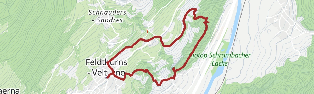
A loop on the Velturno terrace above the Isarco, through chestnut groves, meadows and old farms below the Sabiona monastery.
- 10.5 km
- Distance
- 449 m
- Ascent
- 3 h 35 min
- Duration
- 12
- Check-ins
Open route Klausen, Barbian, Villanders, FeldthurnsFrom the Garner weather cross to the Königsanger peak
A climb to the Königsanger, high in the Sarntal Alps, starting from Garn on the terrace above Velturno.
- 11.4 km
- Distance
- 1 021 m
- Ascent
- 6 h 24 min
- Duration
- 32
- Check-ins
- Königsanger - Monte del Pascolo 2 437 m
- Muntschegge 2 164 m
- AVS Notraum - AVS Bivacco di emergenza 2 290 m
- Radlsee - Lago Rodella 2 256 m
- Radelsee-Haus - Rifugio Lago Rodella 2 280 m
- Brugger-Schupfe 1 999 m
- +2
Open route BrixenE-Bike Tour Albeins-Nafen-St. Peter-Ranui
An e-bike climb out of the Eisack valley into Villnöß, passing the Filler Tenne and the Waldschenke below the Geisler peaks.
- 23.0 km
- Distance
- 988 m
- Ascent
- 2 h 42 min
- Duration
- 63
- Check-ins
- Waldschenke 1 391 m
- Klammwirt 559 m
- Fürholz 554 m
- Filler Tenne 1 248 m
- Tourist Info Villnöß 1 139 m
- Senfter 546 m
- +5
Open route Villnöss457 From picturesque heights to medieval town flair - from Kastelruth to Sterzing
A long valley ride from the terrace above the Eisack down to the river, then north past Paterbichl to Sterzing, mostly on paved paths.
- 65.0 km
- Distance
- 758 m
- Ascent
- 6 h 31 min
- Duration
- 76
- Check-ins
- Paterbichl 559 m
- Klammwirt 559 m
- Tourist Information 1 069 m
- Senfter 532 m
- Fürholz 554 m
- Hilm 488 m
- +9
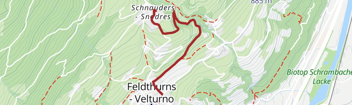
Open route SterzingFrom Feldthurns to Schnauders to St. George's Church
A short climb from Velturno up to Snodres and its church of St George, on the slope above the Isarco valley.
- 2.1 km
- Distance
- 173 m
- Ascent
- 1 h 6 min
- Duration
Open route Valle Isarco - EisacktalFrom Feldthurns to Pardell
A section of the Chestnut Trail from Velturno to Pardell, on the terraced slopes high above the Isarco valley.
- 7.9 km
- Distance
- 283 m
- Ascent
- 2 h 33 min
- Duration
- 1
- Check-ins
Open route Valle Isarco - EisacktalVia the Feldthurner Alm to the Königsanger summit
An ascent of the Königsanger by way of the Feldthurns alp, from the terrace above Velturno into the Sarntal Alps.
- 11.3 km
- Distance
- 1 012 m
- Ascent
- 6 h 22 min
- Duration
- 32
- Check-ins
- Königsanger - Monte del Pascolo 2 437 m
- Muntschegge 2 164 m
- AVS Notraum - AVS Bivacco di emergenza 2 290 m
- Radlsee - Lago Rodella 2 256 m
- Radelsee-Haus - Rifugio Lago Rodella 2 280 m
- Brugger-Schupfe 1 999 m
- +2
Open route Valle Isarco - EisacktalTour in bicicletta da Vipiteno a Chiusa
A ride down the valley from Vipiteno to Chiusa, passing the Habsburg fortress at Fortezza and the old town centres on the way.
- 48.6 km
- Distance
- 137 m
- Ascent
- 4 h 35 min
- Duration
- 41
- Check-ins
- Paterbichl 559 m
- Klammwirt 559 m
- Senfter 532 m
- Fürholz 554 m
- Klausen Informationsbüro - Chiusa 533 m
- Tourismusverein Sterzing - Associazione Turistica 957 m
- +2
Open route Sterzing, Pfitsch und FreienfeldFrom Feldthurns to the waterfalls of Schrambach
A walk from Velturno to the waterfall at Schrambach and back through the fields and woods of the plateau.
- 5.0 km
- Distance
- 299 m
- Ascent
- 2 h 4 min
- Duration
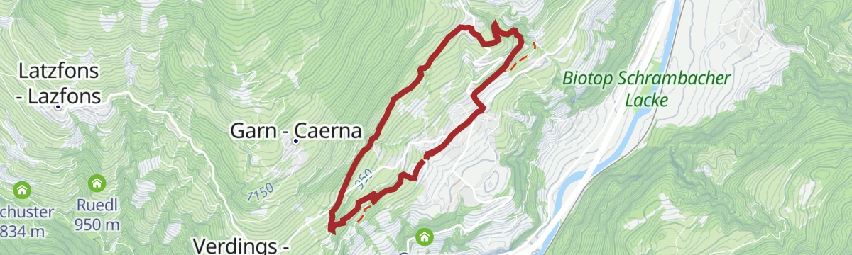
Open route Klausen, Barbian, Villanders, FeldthurnsTour of the villages Feldthurns-Schnauders-Garn-Verdings
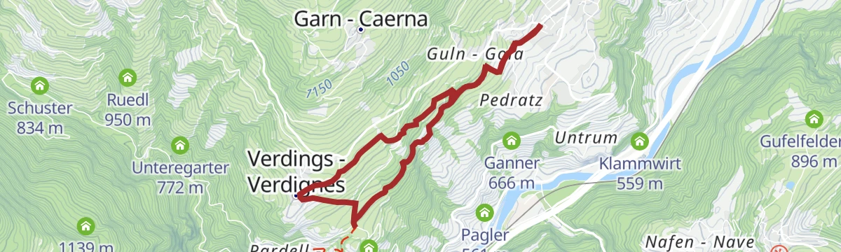
A circuit of the hamlets of Velturno, Snodres, Garn and Verdignes, passing Velturno Castle, working farms and chestnut groves.
- 8.4 km
- Distance
- 377 m
- Ascent
- 2 h 55 min
- Duration
- 1
- Check-ins
Open route Klausen, Barbian, Villanders, FeldthurnsRadlsee und Königsanger
From the Perlung car park, path 8 up through forest to the Bärengraben, then the ridge and forest tracks to the Radlseehaus and the north-east crest of the Königsanger.
- 5.8 km
- Distance
- 1 038 m
- Ascent
- 3 h 55 min
- Duration
- 24
- Check-ins
- Königsanger - Monte del Pascolo 2 437 m
- AVS Notraum - AVS Bivacco di emergenza 2 290 m
- Radelsee-Haus - Rifugio Lago Rodella 2 280 m
Open route BrixenFrom Klausen to Brixen
An almost level family ride along the Isarco from Chiusa up to Bressanone, whose old centre and Hofburg sit at the far end.
- 25.3 km
- Distance
- 41 m
- Ascent
- 2 h 17 min
- Duration
- 31
- Check-ins
Open route Klausen, Barbian, Villanders, FeldthurnsPanoramic way in Velturno/Feldthurns
An easy circuit of the Velturno terrace between meadows, quiet forest and old farms, with viewpoints out to the Dolomites.
- 7.0 km
- Distance
- 207 m
- Ascent
- 2 h 9 min
- Duration
Open route Klausen, Barbian, Villanders, FeldthurnsRound trail three villages (Latzfons - Garn - Verdings)
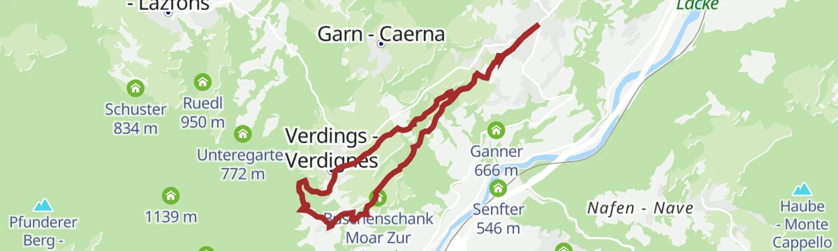
A circuit linking Latzfons, Garn and Verdings, the three villages on the slope above Chiusa, through fields, woods and hamlets.
- 7.7 km
- Distance
- 257 m
- Ascent
- 2 h 27 min
- Duration
Open route Klausen, Barbian, Villanders, FeldthurnsThe Keschtnweg Chestnut Trail form Brixen to Klausen
A section of the chestnut trail from Brixen to Klausen, through sweet chestnut groves and the worked terraces of the Eisack valley.
- 15.6 km
- Distance
- 685 m
- Ascent
- 5 h 23 min
- Duration
- 21
- Check-ins
- Säbener Berg 735 m
- Klausen Informationsbüro - Chiusa 533 m
- Saderhof 912 m
- Breitwieser 814 m
- Zimmermandl 791 m
- Buschenschank Moar Zur Viersch 869 m
- +2
Open route BrixenCycle tour from Sterzing to Klausen
A long valley run from the medieval centre of Sterzing past the fortress of Franzensfeste down to Klausen, dropping over 400 m overall.
- 48.5 km
- Distance
- 128 m
- Ascent
- 4 h 34 min
- Duration
- 28
- Check-ins
- Paterbichl 559 m
- Senfter 532 m
- Fürholz 554 m
- Klausen Informationsbüro - Chiusa 533 m
- Tourismusverein Sterzing - Associazione Turistica 957 m
- Work & Office Center Kampan 572 m
- +1
Open route Klausen, Barbian, Villanders, FeldthurnsSunday Path
A short climb from Velturno up to Snodres, laid out as a themed walk on rest, worship and what Sunday is for.
- 1.8 km
- Distance
- 167 m
- Ascent
- 44 min
- Duration
Open route Klausen, Barbian, Villanders, FeldthurnsThe Keschtnweg chestnut trail from Brixen to Klausen
The Keschtnweg from Brixen down the Eisack valley to the artists' town of Klausen, through old sweet chestnut groves and cultivated hillside.
- 15.7 km
- Distance
- 688 m
- Ascent
- 5 h 25 min
- Duration
- 21
- Check-ins
- Säbener Berg 735 m
- Klausen Informationsbüro - Chiusa 533 m
- Saderhof 912 m
- Breitwieser 814 m
- Zimmermandl 791 m
- Buschenschank Moar Zur Viersch 869 m
- +2
Open route BrixenFeldthurns/Velturno - Garn/Caerna - Klausner Hütte/Rifugio Chiusa
A long day from Velturno by way of Garn to the Klausner hut in the Sarntal Alps, returning past the Garn wayside cross.
- 19.6 km
- Distance
- 1 109 m
- Ascent
- 7 h 49 min
- Duration
- 20
- Check-ins
Open route Klausen, Barbian, Villanders, FeldthurnsFrom Gereuth on Pfeffersberg mountain to the Hundskopf summit and Radlseehütte mountain hut
A climb on the Pfeffersberg to the alpine club hut by the Radlsee, with an easy scramble onto the Hundskopf above it.
- 9.4 km
- Distance
- 965 m
- Ascent
- 5 h 55 min
- Duration
- 14
- Check-ins
- Hundskopf - Cima Cane 2 356 m
- AVS Notraum - AVS Bivacco di emergenza 2 290 m
- Radelsee-Haus - Rifugio Lago Rodella 2 280 m
Open route Brixen
No routes of this kind in Velturno/Feldthurns yet.
The region's own picks
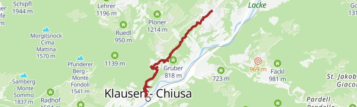
Featured route
Chestnut Trail from Feldthurns to Klausen
A section of the chestnut route from Velturno down to Chiusa, through mixed woods, meadows and chestnut groves above the Isarco.
Planning a trip to Velturno/Feldthurns?
Everything else Trentino-Alto Adige/Südtirol has, in one place


Take Velturno/Feldthurns with you into the mountains
Every route on this page with 3D terrain, GPX navigation and offline maps — including the valleys with no signal.
Data sources
- Official website: klausen.it ↗
- Routes and highlights: Sterzing, Pfitsch und Freienfeld, Klausen, Barbian, Villanders, Feldthurns, Brixen, Valle Isarco - Eisacktal, YesAlps, Seis am Schlern, Gitschberg - Jochtal, Villnöss, Sterzing
- Published as open data by the tourist boards named above.
- Region summary generated from the board's own material.
