












Curated by Sterzing, Pfitsch und Freienfeld
Varna/Vahrn
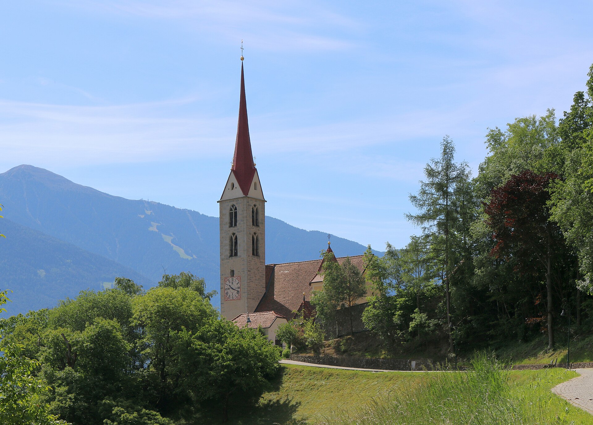
Comune at the mouth of the Val di Scaleres outside Bressanone, holding the Augustinian abbey of Novacella and its vineyards.
- 1Highlights
- 32Routes
- Featured summit · Jakobspitz
Highlights
14 from neighbouring places
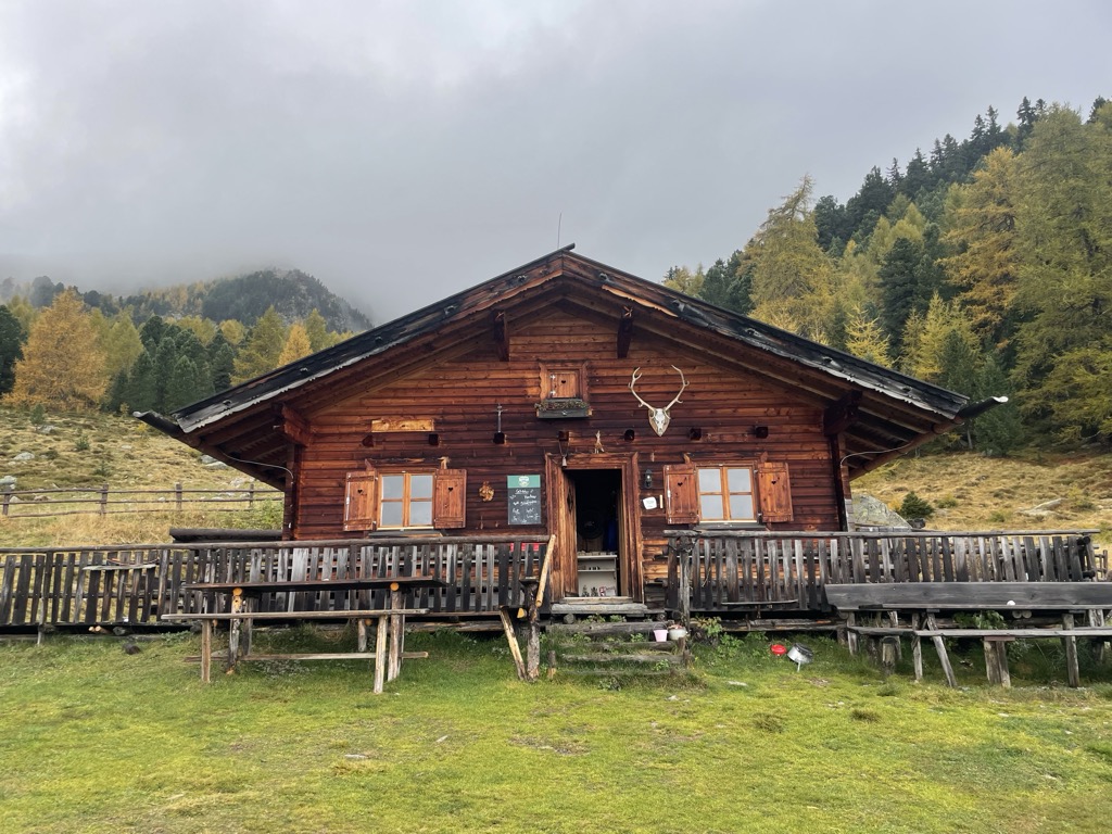
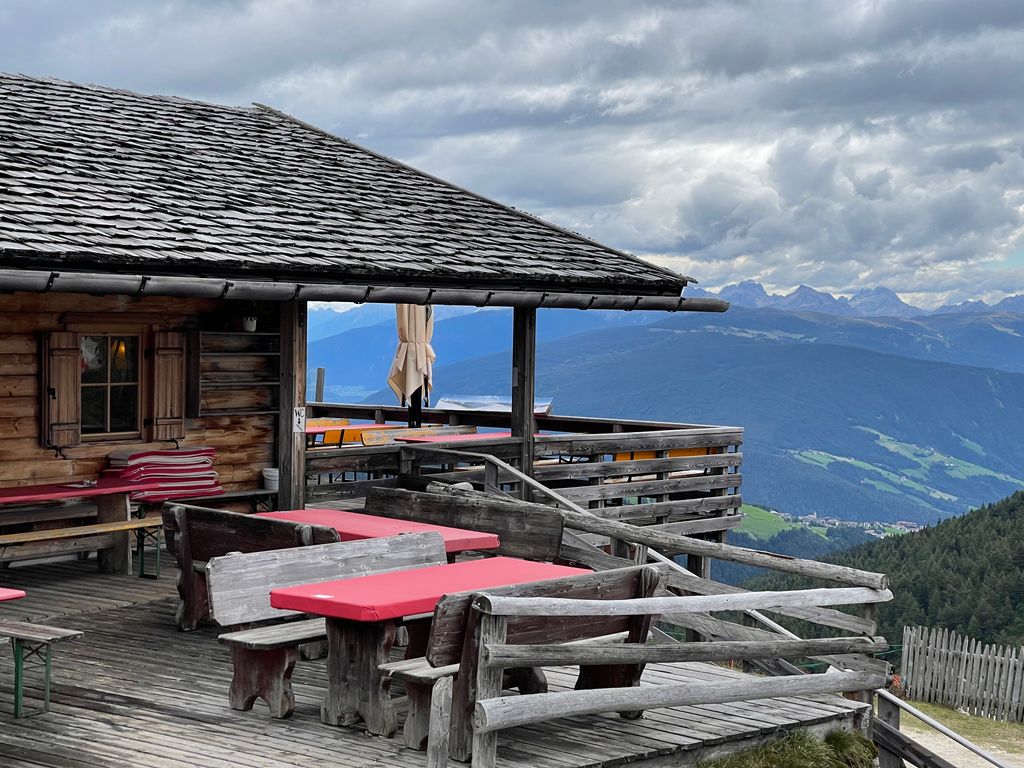
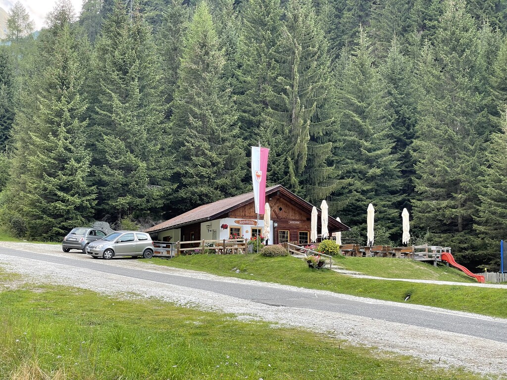
Zirmaitalm
A dairy hut on the pastures above Varna, north of Bressanone in the Val Isarco.
Sterzing, Pfitsch und FreienfeldRifugio Chiusa al Campaccio
6.6 km away, in Chiusa/Klausen
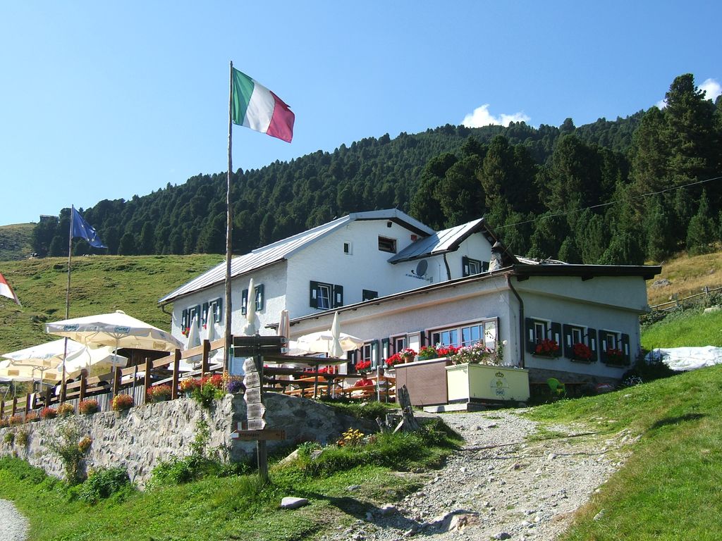
A refuge on the wooded slopes above Chiusa, on the long climb from the Val Isarco towards the Latzfonser Kreuz.
Rifugio Latzfonser Kreuz
7.7 km away, in Chiusa/Klausen
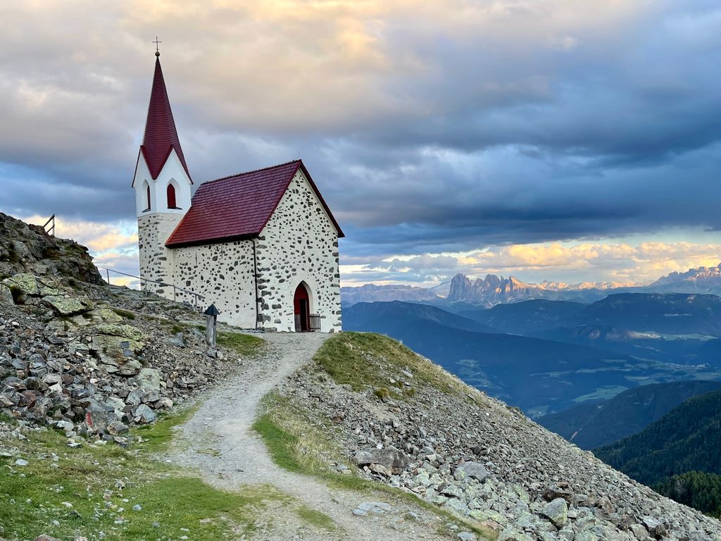
A refuge below the Cima di Ega in the Alpi Sarentine, reached from Latzfons above Chiusa and long visited as a pilgrimage site.
Sterzing, Pfitsch und FreienfeldMalga di Ponteletto
9.7 km away, in Fortezza/Franzensfeste
A dairy hut by the Lago di Puntleid above Fortezza, reached by the path from Mezzaselva in the Val Isarco.
Stöfflhütte
11.5 km away, in Chiusa/Klausen
A hut on the pastures above Chiusa, on the Sarentine slopes east of the Val Isarco.
Sterzing, Pfitsch und FreienfeldAlbergo Rossalm
13.6 km away, in Bressanone/Brixen
A pasture inn on the Plose above Bressanone, among the open ridge walks that run south from the Plose lifts toward the Aferer Geisler.
Ochsenalm
10.9 km away, in Rio di Pusteria/Mühlbach
A pasture hut on the grassy slopes above Rio di Pusteria, reached by forest road from the Valles valley.
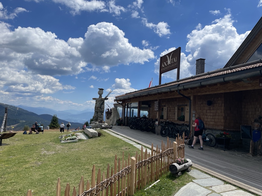
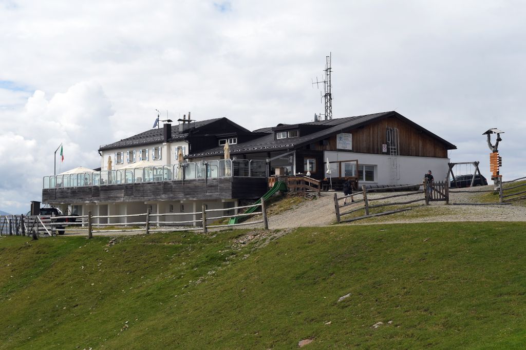
Sterzing, Pfitsch und FreienfeldBergrestaurant Jochtal
11.3 km away, in Rio di Pusteria/Mühlbach
A mountain restaurant at the top of the Jochtal lift above Valles, in the Gitschberg-Jochtal area of the Val Pusteria.
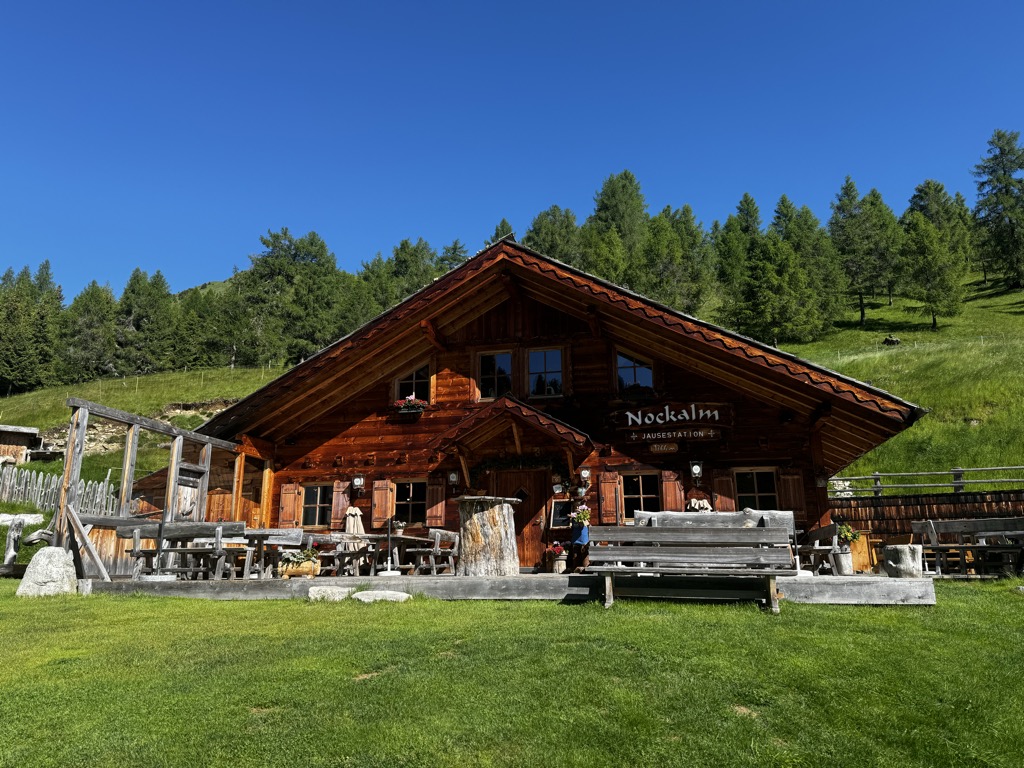
Nockalm
11.8 km away, in Rio di Pusteria/Mühlbach
A working dairy on the high pastures above Valles, in the comune of Rio di Pusteria.
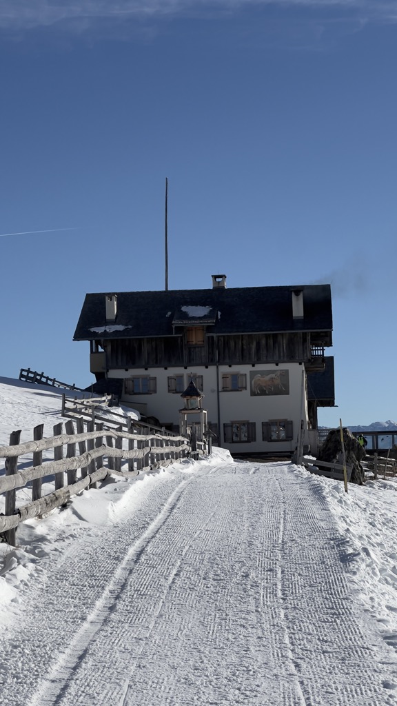
Sterzing, Pfitsch und FreienfeldRifugio Plose
12.8 km away, in Luson/Lüsen
A refuge on the Plose above Luson, on the broad ridge east of Bressanone that carries the ski runs and summer paths.
Sterzing, Pfitsch und FreienfeldMalga Mair in Plun
13.1 km away, in Villandro/Villanders
A dairy hut on the Alpe di Villandro, on the pastures above Villandro in the Val Isarco.
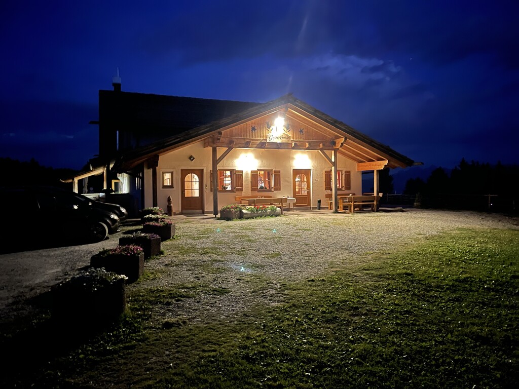
Sterzing, Pfitsch und FreienfeldGasser Hütte
13.2 km away, in Villandro/Villanders
A hut on the Alpe di Villandro above Villandro, one of the wide grazing plateaux of the Alpi Sarentine.
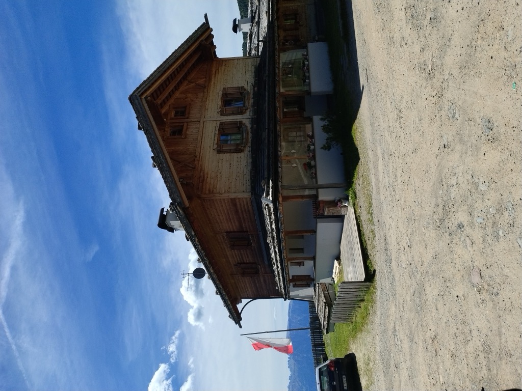
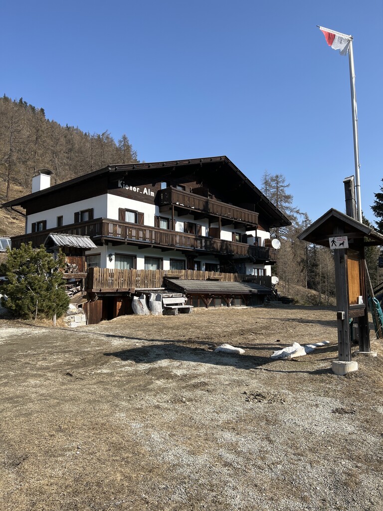
Kiener Alm
13.4 km away, in Vandoies/Vintl
A dairy hut on the pastures above Vandoies, in the Monti di Fundres on the north side of the Val Pusteria.
Kurzkofel
14 km away, in Rio di Pusteria/Mühlbach
A pasture hut below the Kurzkofel above Rio di Pusteria, in the Pfunderer mountains north of the Val Pusteria.
Sterzing, Pfitsch und Freienfeld
Nothing of this kind in Varna/Vahrn.
Routes
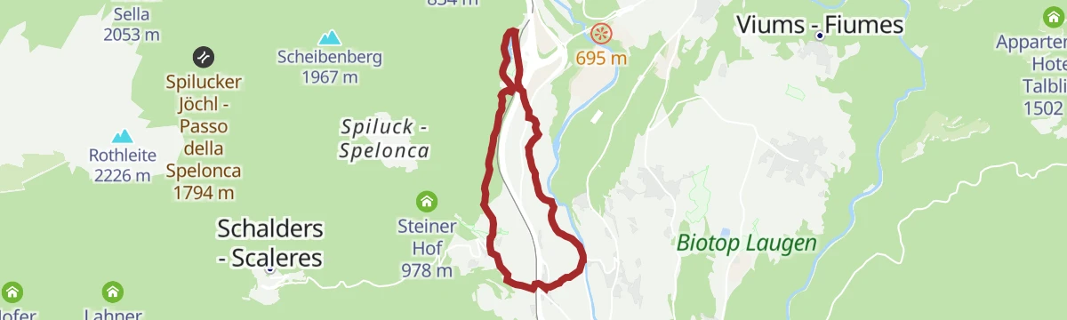
Healing Herbs on the Panoramaweg Trail of Spelonca|Spiluck
An easy panoramic loop at Spiluck above Vahrn, with boards on the herbs traditionally used for healing in the Schalderertal.
- 2.7 km
- Distance
- 132 m
- Ascent
- 58 min
- Duration
- 4
- Check-ins
Open route Valle Isarco - EisacktalHistorical Tour from Bressanone/Brixen to Fortezza|Franzensfeste
A themed valley walk from Brixen north to Franzensfeste, following the history trail along the Eisack.
- 11.8 km
- Distance
- 359 m
- Ascent
- 3 h 27 min
- Duration
- 23
- Check-ins
 Sandgrube Neuhäusler 637 m
 Nuevo Foodland 607 m
- Neuhäusler Hof 620 m
- Gasthaus zum See 695 m
- Wachhaus 827 m
- Pulvermagazin - Polveriera 833 m
- +2
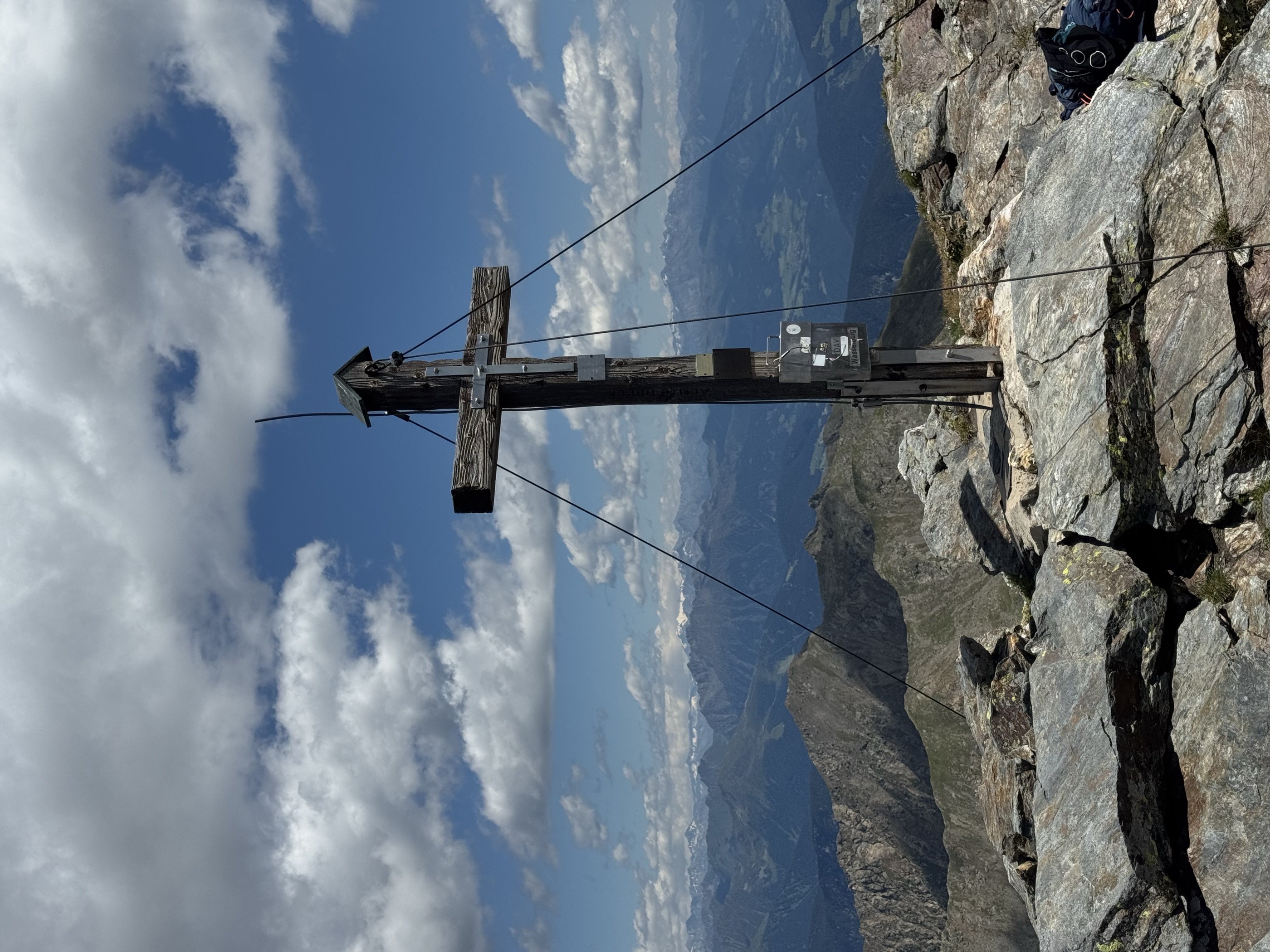
Open route Valle Isarco - EisacktalFrom the Penserjoch pass to the Jakobsspitze
A long ridge traverse from the Penser Joch over the Astenberg and past the Flaggersee and the Marburger Hütte to the Jakobsspitze, with a rope on the last steep step.
- 20.7 km
- Distance
- 1 549 m
- Ascent
- 10 h 7 min
- Duration
- 65
- Check-ins
- Jakobspitz 2 742 m
- Astenberg 2 367 m
- Lorenzenspitz 2 620 m
- Niedereck - Dosso Basso 2 304 m
 Penser Joch - Passo di Pennes 2 211 m
- Alpenrosenhof 2 215 m
- +5
Open route Sterzing457 Dalle alture pittoresche al fascino delle città medievali: Da Castelrotto a Vipiteno
An e-bike traverse dropping from Castelrotto into the Eisacktal, then following the valley north to Vipiteno largely on surfaced roads.
- 65.4 km
- Distance
- 762 m
- Ascent
- 6 h 33 min
- Duration
- 80
- Check-ins
- Paterbichl 559 m
- Klammwirt 559 m
- Tourist Information 1 069 m
- Senfter 532 m
- Fürholz 554 m
- Hilm 488 m
- +10
Open route Seis am SchlernEisacktal Valley Bike Route: Brenner - Bozen
A long, almost entirely downhill valley ride from the Brenner border to Bozen, following the Eisack river the whole way.
- 96.5 km
- Distance
- 313 m
- Ascent
- 9 h 14 min
- Duration
- 185
- Check-ins
- Paterbichl 559 m
- Mila Bistro 282 m
- Klammwirt 559 m
- Hiasele 312 m
- Agrocenter Bozen OHG 296 m
- Senfter 532 m
- +22
Open route Gitschberg - JochtalHeilkräuter Panoramaweg herbal trail at Spiluck
A short panoramic trail at Spelonca signed with the local medicinal herbs and plants used in country medicine.
- 2.7 km
- Distance
- 110 m
- Ascent
- 53 min
- Duration
- 4
- Check-ins
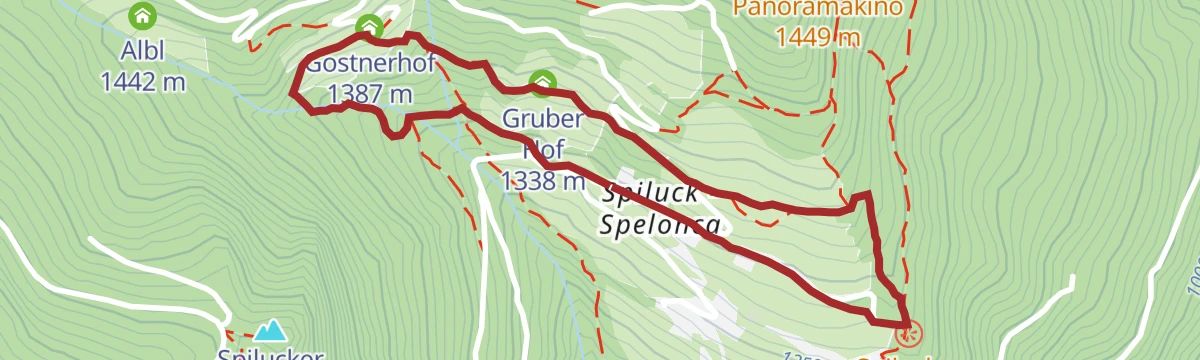
Open route BrixenFrom Spiluck to the Scheibenberg mountain and to the Zirmait mountain hut
A circuit out of Spiluck above Vahrn onto the Scheibenberg, coming back down by the Zirmait pasture with views of the Pustertal.
- 9.4 km
- Distance
- 803 m
- Ascent
- 5 h 6 min
- Duration
- 22
- Check-ins
- Scheibenberg 1 967 m
- Zirmaitalm 1 891 m
- Spilucker Jöchl - Passo della Spelonca 1 794 m
- Albl 1 442 m
- Gruber Hof 1 338 m
- Gostnerhof 1 387 m
- +1
Open route BrixenCircular Hike Spiluck – Zirmaitalm – Karspitze
A long climb from the car park above the Gostnerhof on trail 2, up the quiet valley past the Steinwiesalm and Zirmaitalm to the Karspitze.
- 12.7 km
- Distance
- 1 116 m
- Ascent
- 7 h 2 min
- Duration
- 26
- Check-ins
- Karspitze - Punta Quaira 2 514 m
- Rothleite 2 226 m
- Zirmaitalm 1 891 m
- Spilucker Jöchl - Passo della Spelonca 1 794 m
- Albl 1 442 m
- Steinwiesalm - Malga Pra del Sasso 1 537 m
- +1
Open route Brixen457 From picturesque heights to medieval town flair - from Kastelruth to Sterzing
A long valley ride from the terrace above the Eisack down to the river, then north past Paterbichl to Sterzing, mostly on paved paths.
- 65.0 km
- Distance
- 758 m
- Ascent
- 6 h 31 min
- Duration
- 76
- Check-ins
- Paterbichl 559 m
- Klammwirt 559 m
- Tourist Information 1 069 m
- Senfter 532 m
- Fürholz 554 m
- Hilm 488 m
- +9
Open route SterzingNeustift-Brixen Törggele Circuit Trail
A circuit among the Eisacktal's most northerly vineyards, with a stop possible at a wine estate or in the cellars of Neustift abbey.
- 6.1 km
- Distance
- 206 m
- Ascent
- 1 h 55 min
- Duration
- 4
- Check-ins
Open route BrixenMonastery Walls, Vineyards and the Archaeological Trail
A walk from Neustift abbey, reached by bus from Bressanone, through walled vineyards and orchards and up the Pinatzbühel on an archaeological trail.
- 8.4 km
- Distance
- 325 m
- Ascent
- 2 h 48 min
- Duration
- 8
- Check-ins
- Pinatzbühel - Colle Pinatz 855 m
- Museo abbaziale 603 m
- Krückelhuben 735 m
- Laurin 688 m
- Guggerhof 715 m
Open route BrixenFrom Spelonca|Spiluck to the Karspitze Summit
A steep ascent from Spiluck in the Schalderertal to the Karspitze, the summit that looks down on Bressanone.
- 10.6 km
- Distance
- 1 119 m
- Ascent
- 6 h 48 min
- Duration
- 23
- Check-ins
- Karspitze - Punta Quaira 2 514 m
- Rothleite 2 226 m
- Zirmaitalm 1 891 m
- Albl 1 442 m
- Gostnerhof 1 387 m
- Steinwiesalm - Malga Pra del Sasso 1 537 m
Open route Valle Isarco - EisacktalBruneck - Brixen
A gently descending run along the Pustertal cycle route towards Brixen, passing the old town gate at Mühlbach.
- 42.0 km
- Distance
- 204 m
- Ascent
- 4 h 2 min
- Duration
- 68
- Check-ins
- Hotel Putzerhof 769 m
- Mühlbacher Torturm - Porta di Rio Pusteria 734 m
- Hotel Sonneck 782 m
- Tourismusverein - Ufficio informazioni turistiche 790 m
- Mini Snack 745 m
- Treff Ried 927 m
- +3
Open route Bruneck Kronplatz Tourismus"Schalderer Bach Natural Monument" Adventure Hiking Trail
A themed walk along the Schalderer Bach, a protected mountain stream that runs down the Schalderertal to Vahrn.
- 4.3 km
- Distance
- 246 m
- Ascent
- 1 h 43 min
- Duration
- 2
- Check-ins
Open route Valle Isarco - EisacktalVineyards Route near Bressanone/Brixen
A hillside round by way of Elvas and the Raiermoos biotope, returning between vines and dry stone walls above Bressanone.
- 10.8 km
- Distance
- 341 m
- Ascent
- 3 h 22 min
- Duration
- 5
- Check-ins
Open route BrixenHike from Schalders to Karspitze Peak and via Zirmait back
A summit round from Schalders to the Karspitze, back over the Zirmaitalm, with the middle Eisacktal and Brixen far below.
- 11.5 km
- Distance
- 978 m
- Ascent
- 6 h 13 min
- Duration
- 18
- Check-ins
- Karspitze - Punta Quaira 2 514 m
- Rothleite 2 226 m
- Spilucker Köpfl - Castelliera 1 605 m
- Zirmaitalm 1 891 m
- Kaserhüttl - Alpe Scalares di fuori 2 068 m
Open route BrixenTour in bicicletta da Vipiteno a Chiusa
A ride down the valley from Vipiteno to Chiusa, passing the Habsburg fortress at Fortezza and the old town centres on the way.
- 48.6 km
- Distance
- 137 m
- Ascent
- 4 h 35 min
- Duration
- 41
- Check-ins
- Paterbichl 559 m
- Klammwirt 559 m
- Senfter 532 m
- Fürholz 554 m
- Klausen Informationsbüro - Chiusa 533 m
- Tourismusverein Sterzing - Associazione Turistica 957 m
- +2
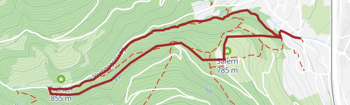
Open route Sterzing, Pfitsch und FreienfeldCarl-Toldt-Weg in Vahrn near Brixen
A short walk over meadows and through the most northerly sweet chestnut wood in South Tyrol to the ruined Salern castle above Vahrn.
- 3.1 km
- Distance
- 141 m
- Ascent
- 1 h 4 min
- Duration
Open route BrixenBrixen – Neustift Wine Trail
A vineyard walk out of the old Stufels quarter, past a distillery and the region's northernmost vines to the Augustinian abbey at Neustift.
- 8.8 km
- Distance
- 273 m
- Ascent
- 2 h 44 min
- Duration
- 3
- Check-ins
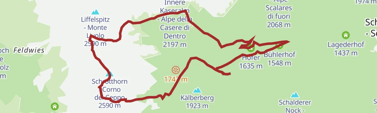
Open route BrixenFrom Schalders to the Summit of the Schrotthorn
A long day on quiet ground at the head of the Schalderertal, taking in the Schrotthorn and the Leierspitz by way of the Pfannscharte.
- 15.2 km
- Distance
- 1 211 m
- Ascent
- 7 h 49 min
- Duration
- 14
- Check-ins
- Schrotthorn - Corno del Ceppo 2 590 m
- Leierspitz 2 541 m
- Pfannscharte - Forcella Fana 2 381 m
- Schafhütte 1 960 m
- Schalderer Scharte - Forcella di Scaleres 2 329 m
- Hofer 1 635 m
- +2
Open route BrixenBrenner Bike Route
A 50 km valley run south from the Brenner on the old railway alignment, through Gossensaß and Sterzing and on towards Vahrn.
- 50.8 km
- Distance
- 180 m
- Ascent
- 4 h 57 min
- Duration
- 35
- Check-ins
- Punterbühel 681 m
- Moidl Hof 1 325 m
- Gasthof Silbergasser 1 316 m
- Tourismusverein Sterzing - Associazione Turistica 957 m
- Biwak 963 m
- Waldheim 1 081 m
- +2
Open route GossensaßPromenadenwanderung am Sonnenhang von Kranebitt bei Brixen
An easy promenade walk on the sunny slope at Kranebitt above Bressanone, with very little climbing.
- 6.7 km
- Distance
- 106 m
- Ascent
- 1 h 50 min
- Duration
Open route Valle Isarco - EisacktalEisack Valley Wine Hiking Trail
A walk through the vineyards on the slopes above the Isarco valley, between Vahrn and the abbey at Neustift.
- 8.4 km
- Distance
- 279 m
- Ascent
- 2 h 39 min
- Duration
- 3
- Check-ins
Open route Valle Isarco - EisacktalFrom Mittewald to the Flaggerschartenhütte mountain hut at teh Flaggersee lake
A long climb from Mittewald up the little-known Flaggertal, past mountain forest, waterfalls and alp pasture, to the hut at the Flaggersee.
- 25.1 km
- Distance
- 1 675 m
- Ascent
- 11 h 17 min
- Duration
- 12
- Check-ins
- Flaggerschartenhütte - Rifugio Forcella Vallaga 2 481 m
- Flaggerscharte - Forcella Vallaga 2 436 m
- Rauter 818 m
- Innere Flaggeralm - Malga Vallaga di dentro 1 939 m
Open route BrixenCycle tour from Sterzing to Klausen
A long valley run from the medieval centre of Sterzing past the fortress of Franzensfeste down to Klausen, dropping over 400 m overall.
- 48.5 km
- Distance
- 128 m
- Ascent
- 4 h 34 min
- Duration
- 28
- Check-ins
- Paterbichl 559 m
- Senfter 532 m
- Fürholz 554 m
- Klausen Informationsbüro - Chiusa 533 m
- Tourismusverein Sterzing - Associazione Turistica 957 m
- Work & Office Center Kampan 572 m
- +1
Open route Klausen, Barbian, Villanders, FeldthurnsThe adventure theme trail along the Schalderer Bach Torrent
A theme trail beside the Schalderer Bach, whose water runs eleven kilometres down the valley before joining the Eisack at Vahrn.
- 2.0 km
- Distance
- 122 m
- Ascent
- 51 min
- Duration
Open route BrixenFrom Brixen to the Neustift Monastery
An almost level valley walk from the centre of Bressanone to one of South Tyrol's largest abbeys, known for its cloister and library.
- 7.1 km
- Distance
- 30 m
- Ascent
- 1 h 44 min
- Duration
- 3
- Check-ins
Open route BrixenFrom Schalders to the Schrüttenseen
A demanding climb from Schalders to the Schrüttenseen, a group of high lakes below the Seenock at the head of the valley.
- 12.0 km
- Distance
- 961 m
- Ascent
- 6 h 12 min
- Duration
- 1
- Check-ins
- Seenock - Cima Gelata 2 064 m
 Kleiner Schrüttensee - Lago Gelato piccolo 1 964 m
Open route Valle Isarco - EisacktalFrom Vahrn to Vahrner Lake
A woodland walk from Vahrn up to the Vahrner See, a small reed-fringed lake on the slope north of Brixen.
- 8.3 km
- Distance
- 177 m
- Ascent
- 2 h 22 min
- Duration
- 3
- Check-ins
Open route Valle Isarco - EisacktalWine and Water Walk (Spazierweg Wein und Wasser) in Rasa/Raas
A walk from Rasa down through terraced vineyards and old farmsteads to the abbey of Novacella and the Vahrner lake, a protected wetland.
- 11.9 km
- Distance
- 332 m
- Ascent
- 3 h 38 min
- Duration
- 3
- Check-ins
Open route Natz–SchabsLonely and challenging: the Peissersteig
A quiet and demanding path above Franzensfeste, the old railway junction that now holds the south portal of the Brenner base tunnel.
- 9.6 km
- Distance
- 682 m
- Ascent
- 4 h 38 min
- Duration
- 2
- Check-ins
Open route BrixenNature path from Natz to Brixen
A flat route from Naz by Rasa to the abbey of Novacella, then along the Isarco into Bressanone, with a bus back.
- 7.0 km
- Distance
- 0 m
- Ascent
- 1 h 57 min
- Duration
Open route Natz–Schabs
No routes of this kind in Varna/Vahrn yet.
The region's own picks

Featured route
Healing Herbs on the Panoramaweg Trail of Spelonca|Spiluck
An easy panoramic loop at Spiluck above Vahrn, with boards on the herbs traditionally used for healing in the Schalderertal.
Planning a trip to Varna/Vahrn?
Everything else Trentino-Alto Adige/Südtirol has, in one place


Take Varna/Vahrn with you into the mountains
Every route on this page with 3D terrain, GPX navigation and offline maps — including the valleys with no signal.
Data sources
- Official website: merano-suedtirol.it ↗
- Routes and highlights: Sterzing, Pfitsch und Freienfeld, Brixen, Valle Isarco - Eisacktal, Sterzing, Natz–Schabs, YesAlps, Seis am Schlern, Gitschberg - Jochtal, Bruneck Kronplatz Tourismus, Gossensaß, Klausen, Barbian, Villanders, Feldthurns
- Published as open data by the tourist boards named above.
- Region summary generated from the board's own material.
