








Curated by Sterzing, Pfitsch und Freienfeld
Vandoies/Vintl
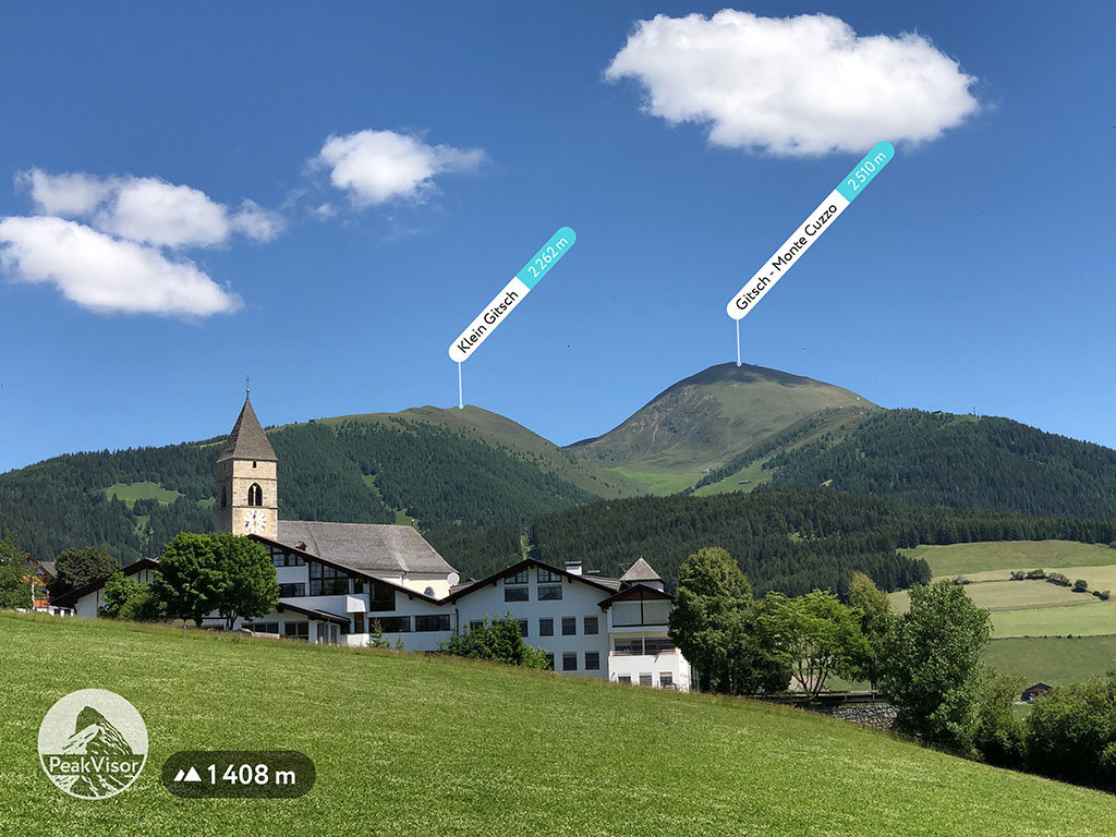
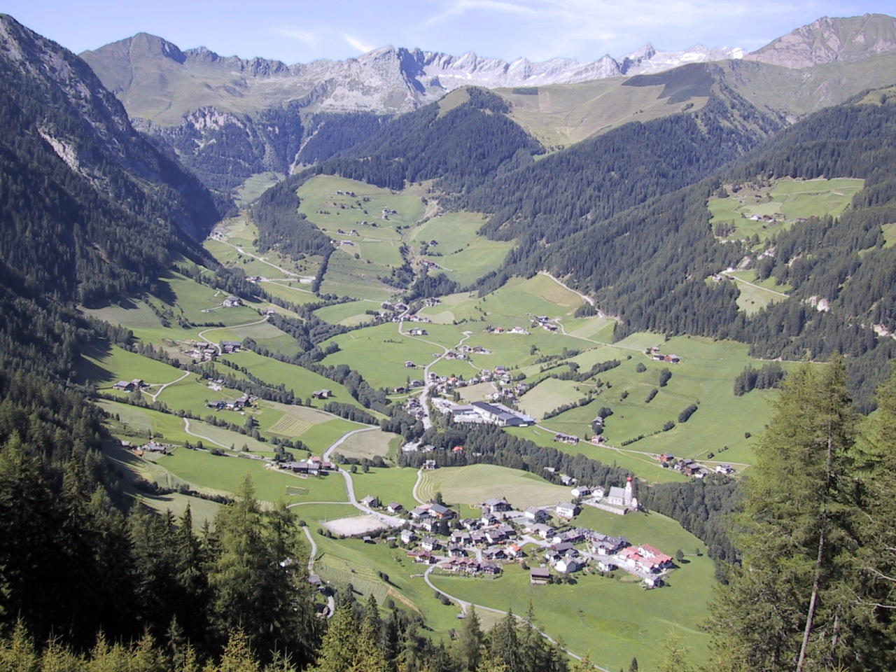
A Pusteria village at the mouth of the Val di Fundres, below the Cima Cadini and the Rodengo plateau.
Photo: Hegedex · Public domain
- 3Highlights
- 22Routes
- Featured summit · Gitsch
Highlights
12 from neighbouring places
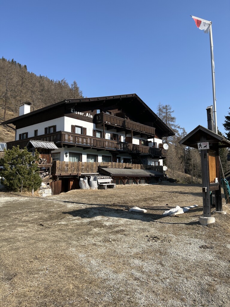
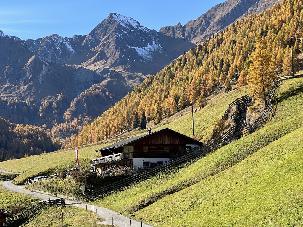
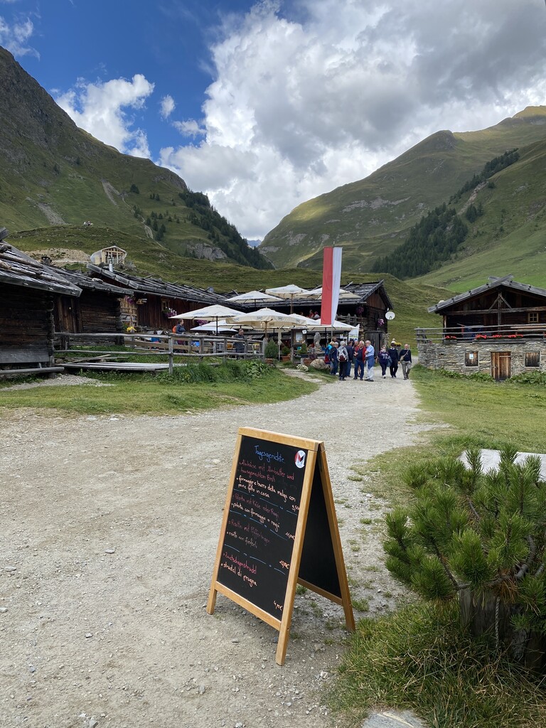
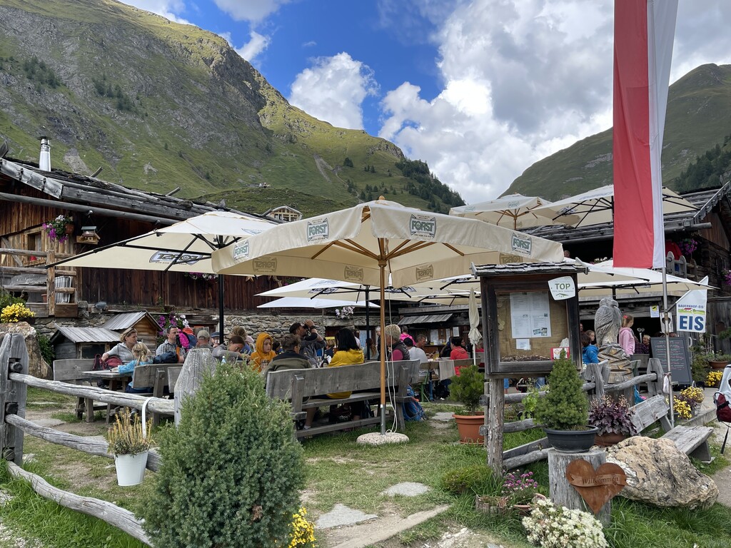
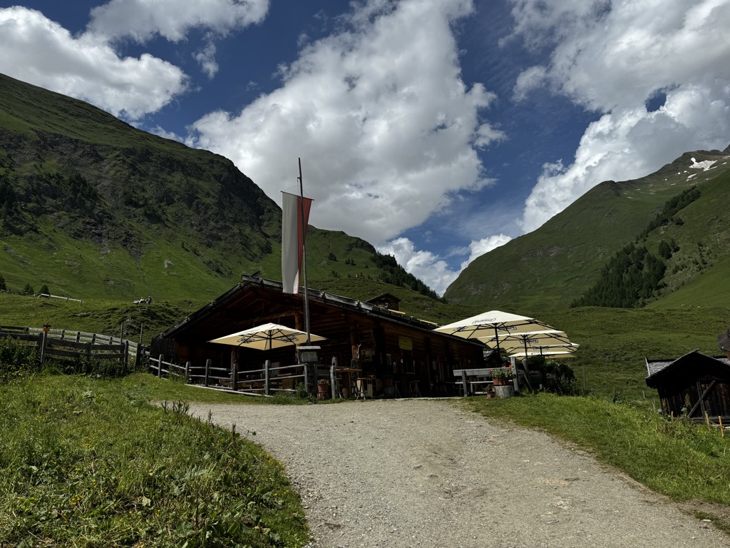
Kiener Alm
A dairy hut on the pastures above Vandoies, in the Monti di Fundres on the north side of the Val Pusteria.
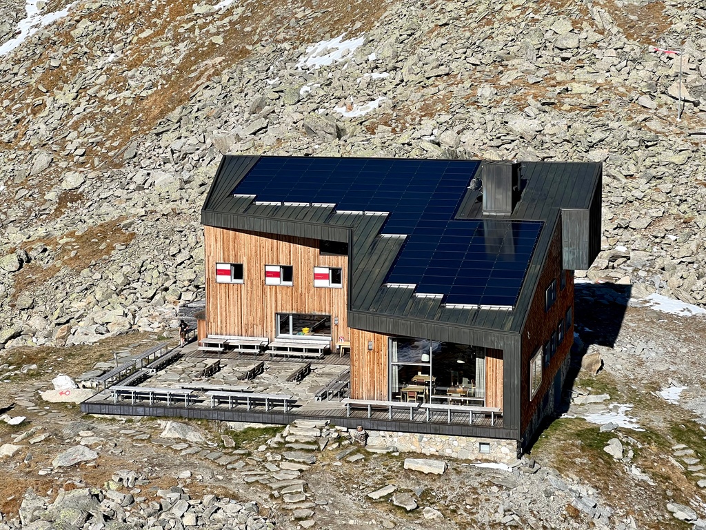
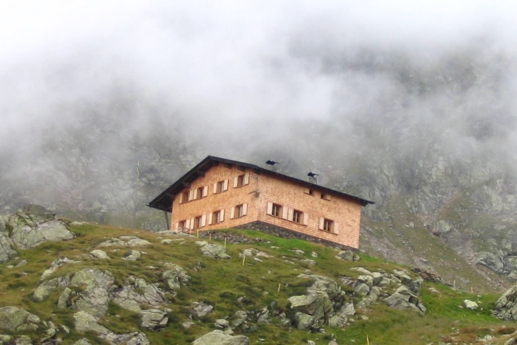
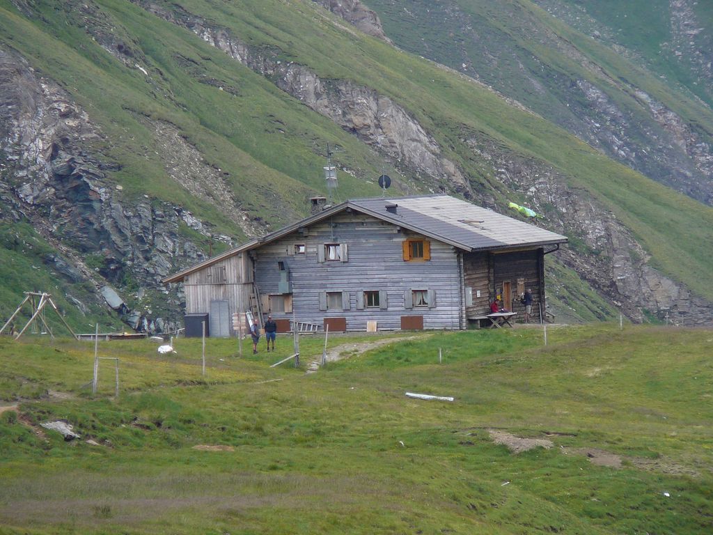
Rifugio Ponte di Ghiaccio
A refuge at the Passo Ponte di Ghiaccio, between the Val di Fundres and the Neves reservoir, on the Pfunderer Höhenweg.
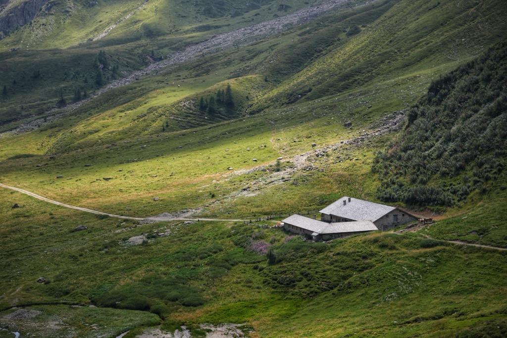
Weitenbergalm
A dairy hut on the Weitenberg pastures above Vandoies, reached by forest road from the Val Pusteria.
Wieserhütte
4.5 km away, in Rio di Pusteria/Mühlbach
A hut on the wooded slopes above Rio di Pusteria, reached on foot from the Valles road.
Rifugio Lago di Pausa
4.6 km away, in Terento/Terenten
A refuge beside the Lago di Pausa above Terento, in the Monti di Fundres, on the Pfunderer Höhenweg.
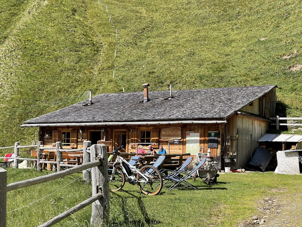
Tschiffernaun Alm
6.6 km away, in Rio di Pusteria/Mühlbach
A dairy hut on the Tschiffernaun pastures above Rio di Pusteria, in the mountains north of the Val Pusteria.
Sterzing, Pfitsch und FreienfeldMalga Mair am Tinkhof
6.8 km away, in Selva dei Molini/Mühlwald
A working dairy on the slopes above Selva dei Molini, reached by a track from the valley road.
Malga Bergmeisteralm
6.8 km away, in Selva dei Molini/Mühlwald
A dairy hut on the pastures above Selva dei Molini, in a side valley of the Valle Aurina.
Sterzing, Pfitsch und FreienfeldKurzkofel
7.5 km away, in Rio di Pusteria/Mühlbach
A pasture hut below the Kurzkofel above Rio di Pusteria, in the Pfunderer mountains north of the Val Pusteria.
Sterzing, Pfitsch und FreienfeldGatterer Hütte
7.7 km away, in Rio di Pusteria/Mühlbach
A pasture hut on the slopes above Rio di Pusteria, in the Valle di Valles.
Sterzing, Pfitsch und FreienfeldMalga Fane
7.7 km away, in Rio di Pusteria/Mühlbach
A hamlet of timber dairy huts on the pastures at the head of the Valles valley, above Rio di Pusteria, reached by track from Valles.
Zingerle Hütte
7.7 km away, in Rio di Pusteria/Mühlbach
A pasture hut above Rio di Pusteria, on the walking paths of the Gitschberg-Jochtal side of the Val Pusteria.
Malga Kuttn
7.7 km away, in Rio di Pusteria/Mühlbach
A dairy hut on the open pasture above Rio di Pusteria, on the Valles side of the valley.
Sterzing, Pfitsch und FreienfeldRifugio Bressanone
8.7 km away, in Rio di Pusteria/Mühlbach
A refuge at the head of the Valles valley below the Cima di Pfunders, reached by the path that climbs past the Malga Fane.
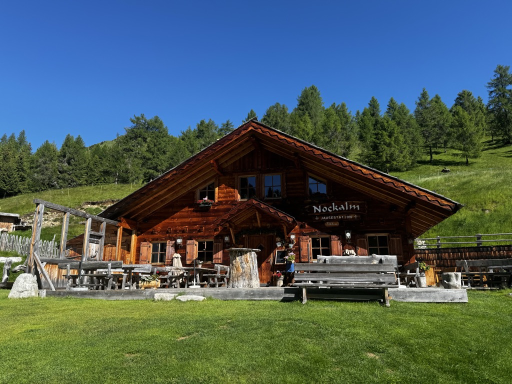
Sterzing, Pfitsch und FreienfeldNockalm
9.3 km away, in Rio di Pusteria/Mühlbach
A working dairy on the high pastures above Valles, in the comune of Rio di Pusteria.
Sterzing, Pfitsch und Freienfeld
Nothing of this kind in Vandoies/Vintl.
Routes
Pfunders Farm trail
A varied walk through woods and meadows past the old farms of the Pfunders valley.
- 5.9 km
- Distance
- 299 m
- Ascent
- 2 h 10 min
- Duration
- 1
- Check-ins
Open route Gitschberg - Jochtal2 peaks tour - Gitsch and Fallmetzer
A tour over two summits above Meransen, the Gitsch and the Fallmetzer, passing quiet pasture huts between them.
- 7.6 km
- Distance
- 739 m
- Ascent
- 4 h 34 min
- Duration
- 97
- Check-ins
 Gitsch 2 510 m
- Fallmetzer 2 568 m
 Nesselhütte 2 114 m
- Gitschhütte 2 209 m
 Ochsenboden - Piano dei bovi 2 199 m
- Zasslerhütte 2 064 m
- +2
Open route Gitschberg - JochtalSkitrack Gitschberg
A ski-touring track to the Gitsch through quiet forest and along the Altfasstal, ending with a view over the Pfunders valley.
- 6.0 km
- Distance
- 1 098 m
- Ascent
- 4 h 7 min
- Duration
- 79
- Check-ins
Open route Gitschberg - JochtalSkitour Hörndle: A Summit Adventure in the Pfunderer Mountains
A ski tour through forest and open meadow to the Hörndle in the Pfunderer mountains, with a wide view along the ridge from the top.
- 3.7 km
- Distance
- 874 m
- Ascent
- 0 m
- Descent
- 2 h 19 min
- Duration
- 3
- Check-ins
Open route Gitschberg - JochtalFrom Mühlbach to Vintl: Running along the Pustertal valley cycle path
A short, flat stretch of the Val Pusteria valley cycle path, leaving Rio di Pusteria at its old gate tower and heading down to Vandoies.
- 5.2 km
- Distance
- 10 m
- Ascent
- 28 min
- Duration
- 18
- Check-ins
Open route Gitschberg - JochtalReach new heights: Bike Tour to Gampielalm and Kröll Hut
A short, steep ride above Pfunders to the Gampiel-Alm and on towards the Eisbruggalm, climbing close to 600 m in little over 6 km.
- 6.4 km
- Distance
- 554 m
- Ascent
- 57 min
- Duration
- 14
- Check-ins
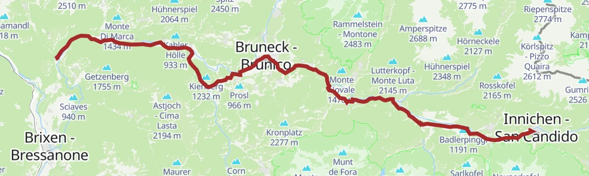
Open route Gitschberg - JochtalPustertal Valley Bike Route: Mühlbach - Innichen
The up-valley direction of the Puster valley cycle path, starting at Rio di Pusteria and gaining height gently as far as San Candido.
- 62.1 km
- Distance
- 340 m
- Ascent
- 5 h 59 min
- Duration
- 91
- Check-ins
- Baita 1 175 m
- Mühlbacher Torturm - Porta di Rio Pusteria 734 m
- Tourist Info Olang 1 046 m
- Mini Snack 745 m
- Treff Ried 927 m
- Touristik Information 764 m
- +10
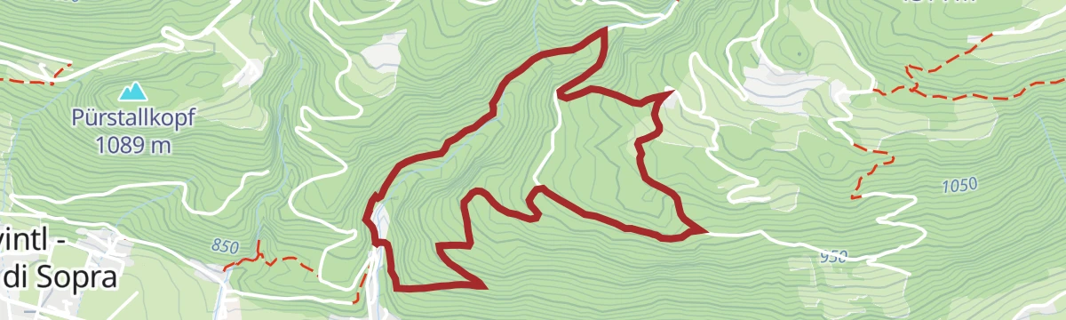
Open route Gitschberg - JochtalCastel Raubschlössl circular route
An easy loop above Obervintl to the ruins of the Raubschlössl, with two route options and open viewpoints over the Pustertal.
- 4.1 km
- Distance
- 301 m
- Ascent
- 1 h 57 min
- Duration
Open route Gitschberg - JochtalAlpine Hut Circular Trail Pfunders
A circuit of the working alpine huts in the Pfunderer valley above Vintl, on pasture tracks below the Pfunderer ridge.
- 10.8 km
- Distance
- 690 m
- Ascent
- 4 h 42 min
- Duration
- 9
- Check-ins
Open route Valle Isarco - EisacktalCima Cadini: Escursione con vista sui ghiacciai
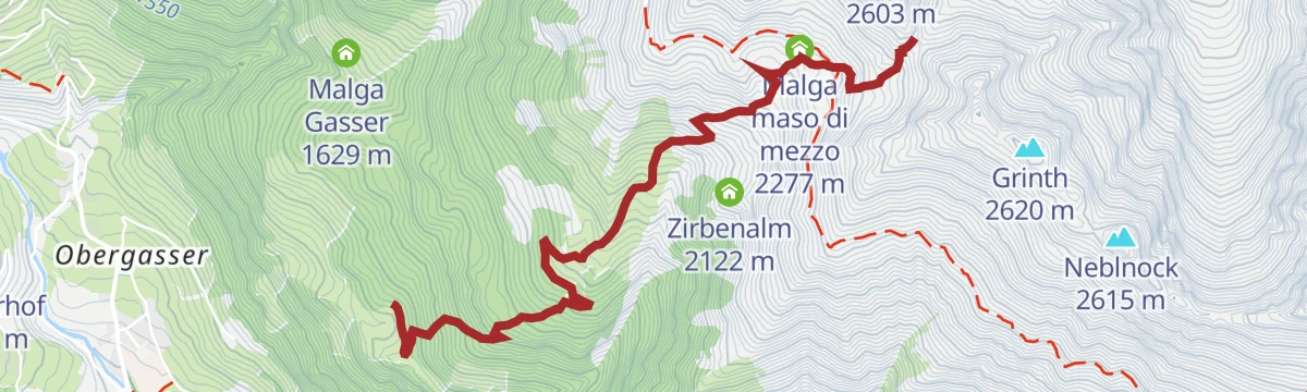
A demanding climb above the Pfunderer valley to the Napfspitze, quiet ground with a long view over the surrounding glaciers from the top.
- 9.1 km
- Distance
- 1 457 m
- Ascent
- 5 h 36 min
- Duration
- 43
- Check-ins
- Napfspitz - Cima Cadini 2 888 m
- Pfeifholderspitz 2 877 m
- Edelrauthütte 2 545 m
- Eisbruggjoch - Passo Ponte di Ghiaccio 2 545 m
- Eisbruggalm 2 154 m
- Joch an der Napfspitze 2 855 m
Open route Sterzing, Pfitsch und FreienfeldDiscover Pfunders Up Close: Bike tour to the Bodenalm
A steady climb through the Pfunders valley to the Bodenalm at 1,690 m, gaining nearly 600 m from the valley floor.
- 13.4 km
- Distance
- 584 m
- Ascent
- 1 h 45 min
- Duration
- 8
- Check-ins
Open route Gitschberg - JochtalPustertal Valley Bike Route
The full length of the Puster valley cycle path, from the gate tower at Rio di Pusteria through Brunico and Valdaora up to San Candido.
- 60.0 km
- Distance
- 266 m
- Ascent
- 5 h 43 min
- Duration
- 90
- Check-ins
- Baita 1 175 m
- Mühlbacher Torturm - Porta di Rio Pusteria 734 m
- Tourismusverein - Ufficio informazioni turistiche 790 m
- Tourist Info Olang 1 046 m
- Mini Snack 745 m
- Treff Ried 927 m
- +5
Open route KiensThe Elves' trail: an adventure for the whole family
A three-kilometre family walk along the forest edge at Obervintl, with hands-on stations and lookout points for children.
- 3.1 km
- Distance
- 52 m
- Ascent
- 50 min
- Duration
Open route Gitschberg - JochtalPfunders Alpine Hut Circuit
A circuit through the pastures of the Pfunderer valley, linking working huts and lookouts that reach as far as the Peitlerkofel.
- 9.4 km
- Distance
- 677 m
- Ascent
- 4 h 29 min
- Duration
- 9
- Check-ins
Open route Gitschberg - JochtalNapfspitze: Hiking Adventure with Glacier Views
A big ascent from the Pfunderer valley to the Napfspitze, with the glaciers of the Rieserferner and Zillertal groups in sight from the top.
- 8.9 km
- Distance
- 1 452 m
- Ascent
- 5 h 34 min
- Duration
- 43
- Check-ins
- Napfspitz - Cima Cadini 2 888 m
- Pfeifholderspitz 2 877 m
- Edelrauthütte 2 545 m
- Eisbruggjoch - Passo Ponte di Ghiaccio 2 545 m
- Eisbruggalm 2 154 m
- Joch an der Napfspitze 2 855 m
Open route Gitschberg - JochtalPustertal Valley bikeway
A paved valley route beside the Rienza through Brunico and on to San Candido, easily combined with the Puster valley railway.
- 62.0 km
- Distance
- 274 m
- Ascent
- 5 h 54 min
- Duration
- 90
- Check-ins
- Baita 1 175 m
- Mühlbacher Torturm - Porta di Rio Pusteria 734 m
- Tourist Info Olang 1 046 m
- Mini Snack 745 m
- Treff Ried 927 m
- Touristik Information 764 m
- +9
Open route OlangHöfeweg in Pfunders
A route linking the scattered mountain farms of the Pfunderer valley above Vintl, on tracks running between the holdings.
- 8.4 km
- Distance
- 321 m
- Ascent
- 2 h 46 min
- Duration
- 1
- Check-ins
Open route Valle Isarco - EisacktalAlpine Lake Circuit in Pfunders: Hike to Hidden Alpine Gems
A long round in the Pfunderer mountains to a group of remote tarns, crossing high meadow with the ridge peaks in view.
- 17.0 km
- Distance
- 1 126 m
- Ascent
- 7 h 36 min
- Duration
- 15
- Check-ins
- Weitenbergalm 1 958 m
- Obere Engbergalm 2 123 m
- Seescharte 2 533 m
 Weitenbergsee 2 496 m
- Kleiner Weitenbergsee 2 479 m
- Untere Lappa-Alm 1 836 m
- +2
Open route Gitschberg - JochtalBruneck - Brixen
A gently descending run along the Pustertal cycle route towards Brixen, passing the old town gate at Mühlbach.
- 42.0 km
- Distance
- 204 m
- Ascent
- 4 h 2 min
- Duration
- 68
- Check-ins
- Hotel Putzerhof 769 m
- Mühlbacher Torturm - Porta di Rio Pusteria 734 m
- Hotel Sonneck 782 m
- Tourismusverein - Ufficio informazioni turistiche 790 m
- Mini Snack 745 m
- Treff Ried 927 m
- +3
Open route Bruneck Kronplatz TourismusThe Vintl to Pfunders Run – Nature’s Challenge
A valley route from Vintl up to Pfunders, mostly runnable ground and used as a training run by the fit.
- 8.9 km
- Distance
- 345 m
- Ascent
- 2 h 37 min
- Duration
Open route Gitschberg - JochtalPustertal Valley Bike Route: Bruneck - Franzenfeste
A leg of the Puster valley cycle path heading west from Brunico past Rio di Pusteria to the fortress at Fortezza.
- 34.7 km
- Distance
- 176 m
- Ascent
- 3 h 16 min
- Duration
- 52
- Check-ins
- Hotel Putzerhof 769 m
- Mühlbacher Torturm - Porta di Rio Pusteria 734 m
- Hotel Sonneck 782 m
- Mini Snack 745 m
- Touristik Information 764 m
- Informationsbüro St. Lorenzen 818 m
- +1
Open route Gitschberg - JochtalPuster Valley cycle path to Mühlbach
A long valley ride from Niederrasen down through Bruneck and St. Lorenzen, finishing at the old Mühlbacher Torturm gate.
- 38.4 km
- Distance
- 97 m
- Ascent
- 3 h 36 min
- Duration
- 41
- Check-ins
- Mühlbacher Torturm - Porta di Rio Pusteria 734 m
- Mini Snack 745 m
- Treff Ried 927 m
- Touristik Information 764 m
- Informationsbüro St. Lorenzen 818 m
- Gisser Werk 776 m
- +3
Open route Tourismusgenossenschaft Antholzertal
No routes of this kind in Vandoies/Vintl yet.
The region's own picks

Featured route
Pfunders Farm trail
A varied walk through woods and meadows past the old farms of the Pfunders valley.
Planning a trip to Vandoies/Vintl?
Everything else Trentino-Alto Adige/Südtirol has, in one place


Take Vandoies/Vintl with you into the mountains
Every route on this page with 3D terrain, GPX navigation and offline maps — including the valleys with no signal.
Data sources
- Official website: gitschberg-jochtal.com ↗
- Routes and highlights: Sterzing, Pfitsch und Freienfeld, Gitschberg - Jochtal, Valle Isarco - Eisacktal, Kiens, Olang, Bruneck Kronplatz Tourismus, Tourismusgenossenschaft Antholzertal
- Published as open data by the tourist boards named above.
- Region summary generated from the board's own material.
