
Curated by Montafon Tourismus
Vandans
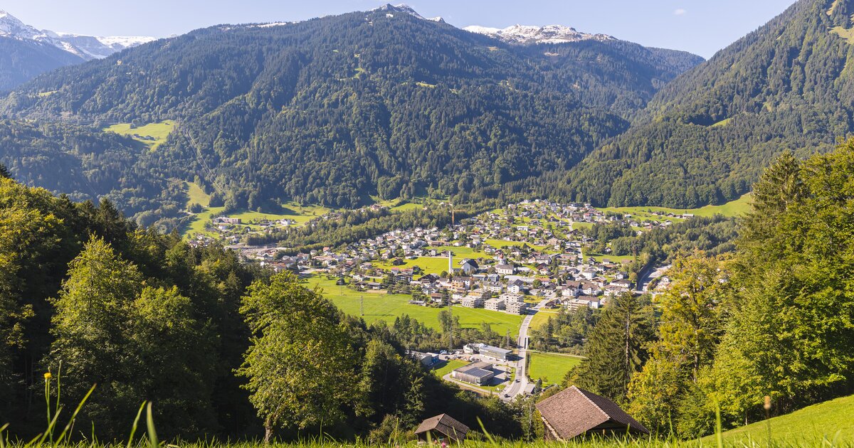
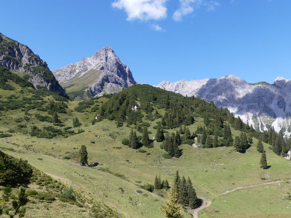
A Montafon village at the foot of the Rätikon where the Rellstal opens toward the Lünersee, with the Golm lifts on the slope above.
- 15Highlights
- 30Routes
Highlights
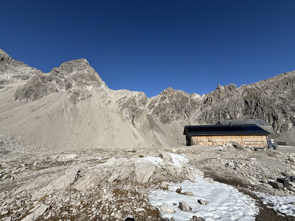
Douglasshütte
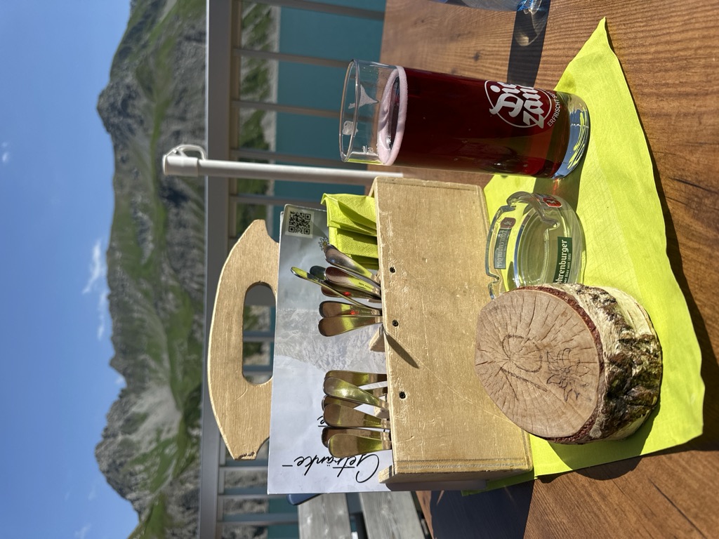
The hut at the Lünersee, once called the Lünerseehütte, at the top of the cable car.
Felsenkopf
The fourth-highest summit of the Rätikon, in the Schesaplana group, its survey point on the Austrian side.
Gipsköpfle
A modest top at the head of the Rellstal, quiet because almost nobody goes there.
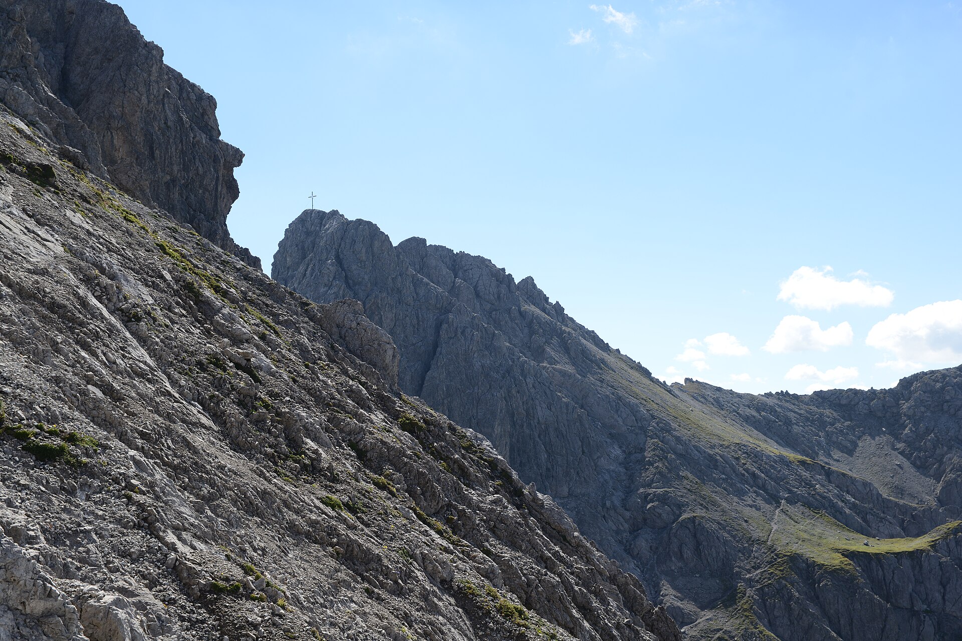 Natural feature Feel free to use my photos, but please mention me as the author and if you want send me a message. or (rufre@lenz-nenning.at) · CC BY-SA 3.0 at
Großer Valkastiel
A limestone summit on the ridge that divides the Brandnertal from the Montafon.
Heinrich-Hueter-Hütte
The hut in the Rellstal, under the Zimba and on the way to the Zimbajoch.
Lünersee
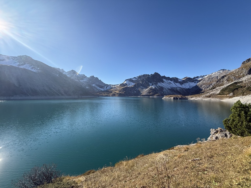
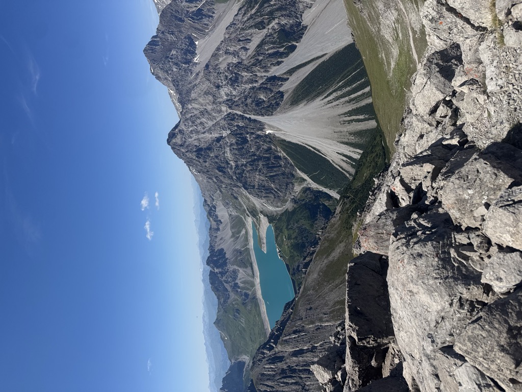
Once a natural mountain lake, dammed into one of the largest bodies of water in Vorarlberg.
Saulakopf
A peak of the Zimba group in the Rätikon, with a hard via ferrata on its flank.
Totalphütte
An Alpine Club refuge on the climb from the Lünersee to the Schesaplana.
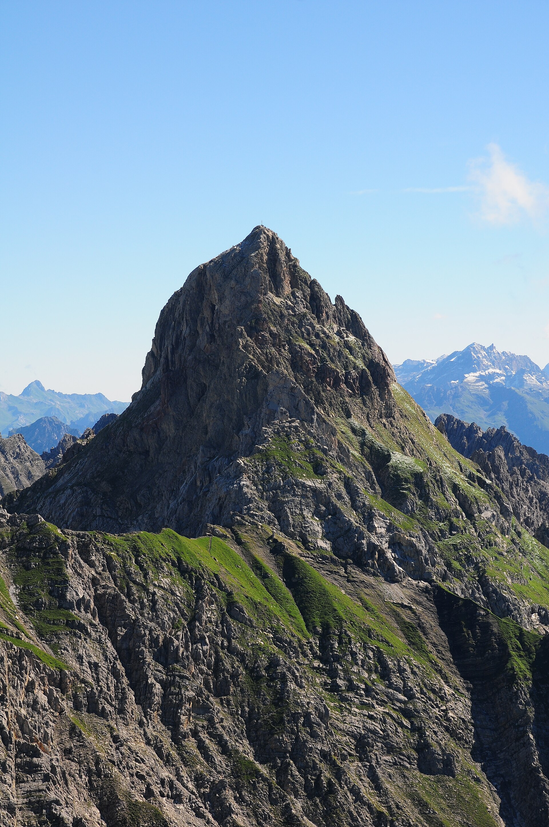
Zimba
The sharp peak of the Vandanser Steinwand in the Rätikon, visible from half of Vorarlberg and known as its Matterhorn.
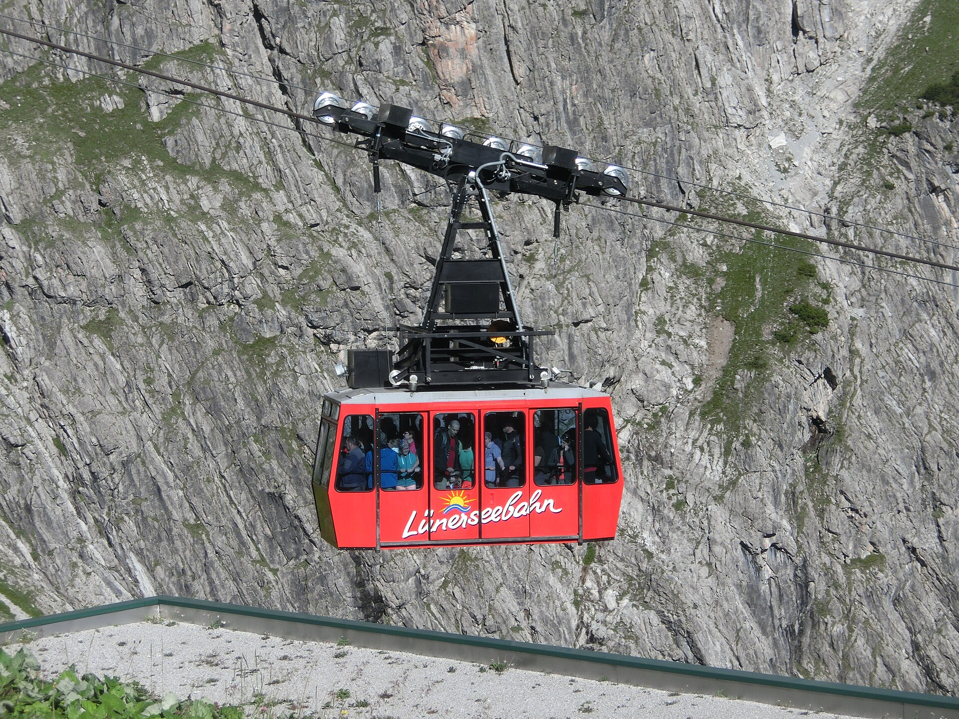
Lünerseebahn
The cable car from the head of the Brandnertal up to the Lünersee, a reservoir ringed by the Rätikon.
PeakVisor / OpenStreetMapNeyerscharte
A notch in the Rätikon ridge, on the high route between the Brandnertal and the Montafon.
Saulajoch
The notch under the Saulakopf, crossed on the round from the Lünersee to the Rellstal.
Verajoch
A saddle on the frontier ridge, on the high crossing from the Rellstal to the Lünersee.
Zimbajoch
The saddle under the Zimba, the crossing between the Sarotla valley and the Lünersee.
Klettergarten Seekopf Süd
South-facing rock above the Lünersee, reached from the top station of the cable car.
 Mountain hut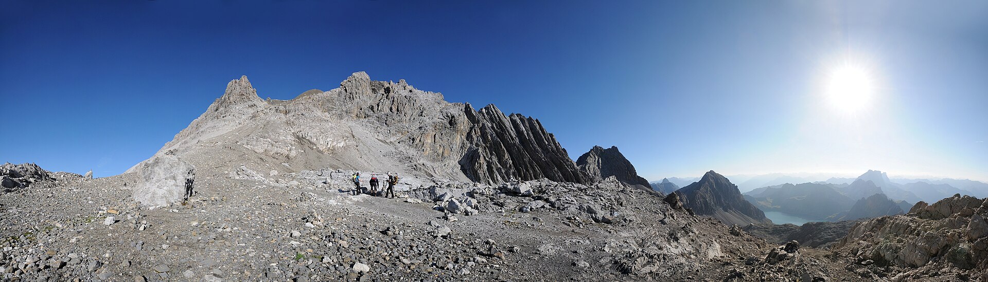
 Cable car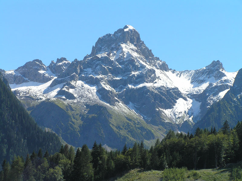
 Mountain pass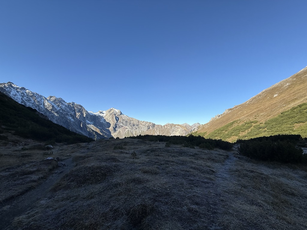
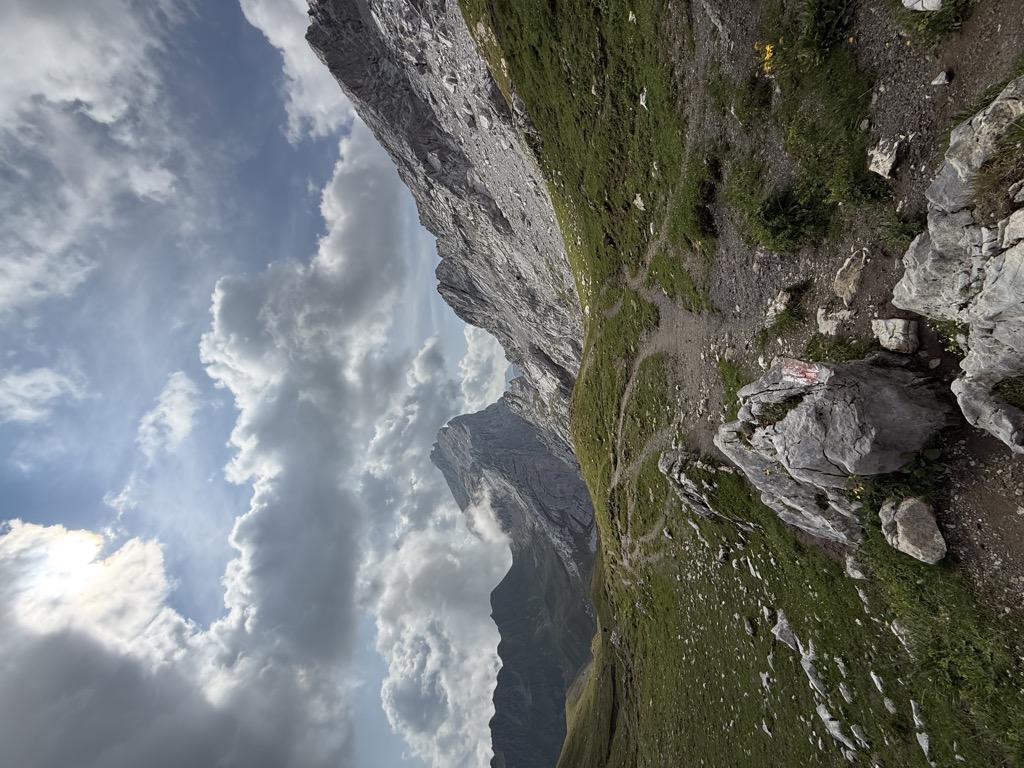
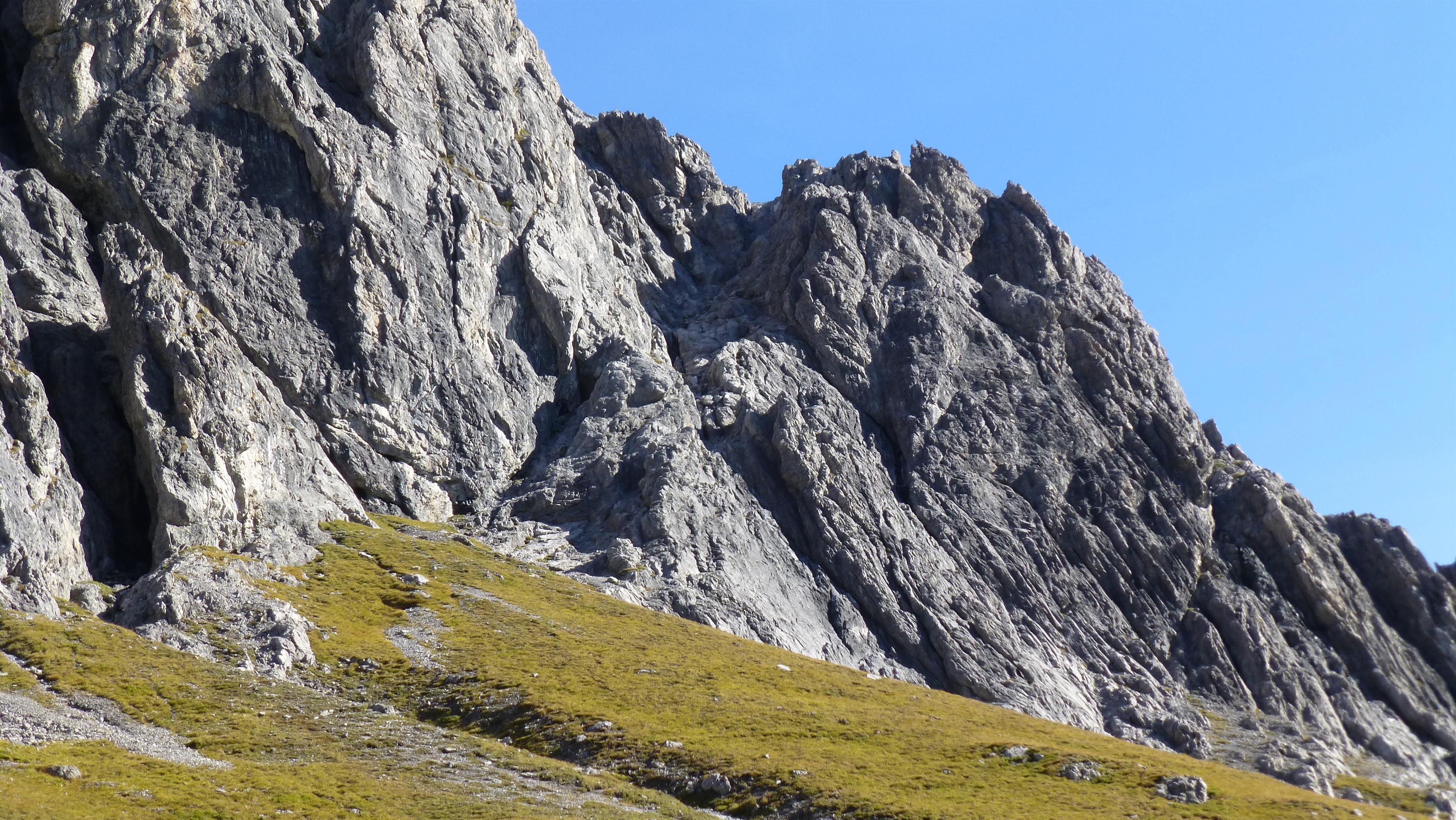
Nothing of this kind in Vandans.
Routes
Klettersteig Saulakopf
A bold line up the Saulakopf, counted among the finest via ferratas in the Montafon.
- 8.0 km
- Distance
- 815 m
- Ascent
- 6 h 20 min
- Duration
Open route Montafon TourismusKlettersteigpark Valkastiel
A crag carrying five ferrata routes, with the Valcastiel ruin above and long drops below.
- 5.4 km
- Distance
- 422 m
- Ascent
- 3 h 29 min
- Duration
Open route Montafon Tourismus2-Tages Tour Heinrich-Hueter/Sarotla Hütte (Etappe 2)
The second day of the Saulasteig and Zimbajoch round, dropping back into the valley.
- 10.1 km
- Distance
- 706 m
- Ascent
- 6 h 17 min
- Duration
Open route Alpenregion Vorarlberg2-Tages Tour Heinrich-Hueter/Sarotla Hütte (Etappe 1)
The first day of a two-day round by the Saulasteig and the Zimbajoch, sleeping at the Heinrich-Hueter or Sarotla hut.
- 11.4 km
- Distance
- 1 265 m
- Ascent
- 7 h 33 min
- Duration
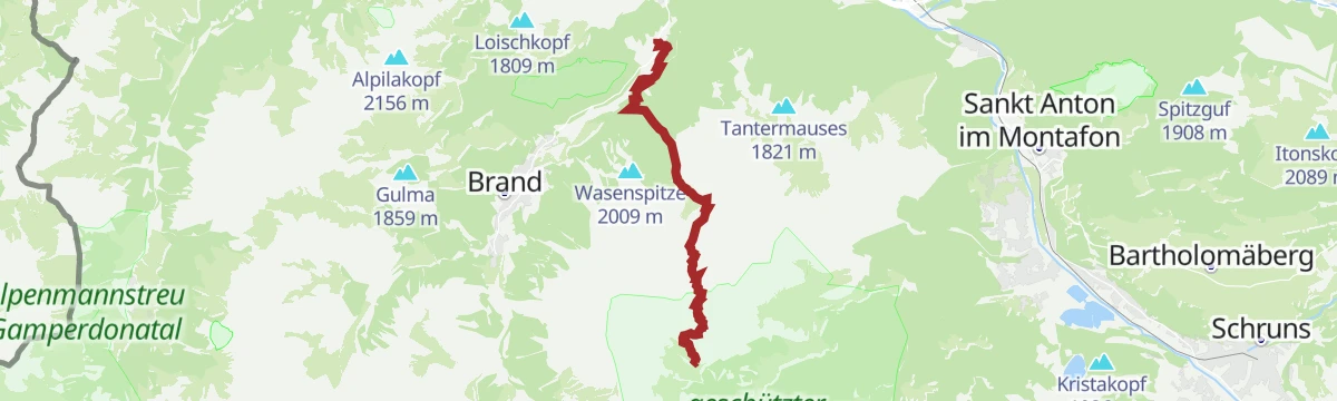
Open route Alpenregion VorarlbergInnertal - Schesaplana
From Brand Innertal to the Schesaplana, the highest summit of the Rätikon, in one enormous day.
- 10.1 km
- Distance
- 0 m
- Ascent
- 0 m
- Descent
- 2 h 29 min
- Duration
Open route PeakVisor tTRL (OpenStreetMap piste_type=skitour)Bike & Hike Golmer Joch
Ridden and then walked to the Golmer Joch, for a full turn of the Rätikon.
- 31.5 km
- Distance
- 1 496 m
- Ascent
- 4 h 14 min
- Duration
Open route Montafon TourismusGipfeltour Saulakopf Ostwand
A round from the Lünersee over the Saulajoch and the Saulakopf, returning by the Rellstal.
- 9.5 km
- Distance
- 859 m
- Ascent
- 5 h 25 min
- Duration
Open route Montafon Tourismus2-Tages-Hüttentour Heinrich-Hueter-Hütte
Two days over the Zimbajoch with a night at the Heinrich-Hueter-Hütte, under the Zimba's spire.
- 36.9 km
- Distance
- 2 860 m
- Ascent
- 18 h 33 min
- Duration
Open route Alpenregion VorarlbergSchesaplana
The Schesaplana on skis from the Lünersee side, at 2,965 m the roof of the Rätikon.
- 11.2 km
- Distance
- 0 m
- Ascent
- 0 m
- Descent
- 2 h 45 min
- Duration
Open route PeakVisor tTRL (OpenStreetMap piste_type=skitour)Golm Tour
A round of the Golm by the Ganeu forest road and the Grüneck station, returning through Latschau.
- 32.3 km
- Distance
- 1 344 m
- Ascent
- 4 h 8 min
- Duration
Open route Montafon TourismusHüttentour Lünersee/Rätikon "Mittel" - Heinrich Hueter Hütte bis Totalphütte
A high-mountain stage from the Heinrich-Hueter-Hütte to the Totalphütte, facing the Rätikon wall.
- 7.6 km
- Distance
- 822 m
- Ascent
- 3 h 51 min
- Duration
Open route Montafon Tourismus2-Tages-Hüttentour Lindauer Hütte
A two-day round past the Lünersee with a night at the Lindauer Hütte, over into the Montafon and back.
- 30.2 km
- Distance
- 2 302 m
- Ascent
- 15 h
- Duration
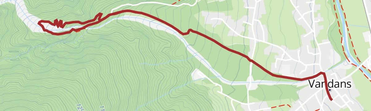
Open route Alpenregion VorarlbergVandans - Saulakopf
From the valley at Vandans all the way to the Saulakopf — a long ascent out of the Rellstal.
- 10.3 km
- Distance
- 0 m
- Ascent
- 0 m
- Descent
- 2 h 31 min
- Duration
Open route PeakVisor tTRL (OpenStreetMap piste_type=skitour)Klettertour Zimba Westgrat - Gipfelbesteigung im Rätikon
From the Heinrich-Hueter-Hütte over the Zimbajoch to the west ridge of the Zimba and back.
- 5.6 km
- Distance
- 875 m
- Ascent
- 5 h
- Duration
Open route Montafon Tourismus2-Tages-Hüttentour Schesaplana
Two days to the Schesaplana with a night at the Mannheimer Hütte, at 2,679 m the highest refuge in Vorarlberg.
- 24.8 km
- Distance
- 2 114 m
- Ascent
- 13 h 26 min
- Duration
Open route Alpenregion VorarlbergVom Rellstal über die Zaluandaalpe, Schweizertor und Verajoch zum Lünersee
From the Rellstal by the Zaluanda alps and the Schweizertor to the Lünersee.
- 11.9 km
- Distance
- 855 m
- Ascent
- 4 h 45 min
- Duration
Open route Montafon Tourismus3-Tages-Hüttentour um den Lünersee
Three days around the Lünersee, with nights at the Heinrich-Hueter and the Lindauer huts.
- 28.5 km
- Distance
- 1 731 m
- Ascent
- 11 h 58 min
- Duration
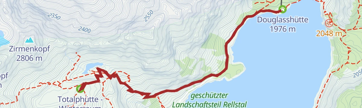
Open route Vorarlberg TourismusVon der Douglass Hütte zur Totalphütte
From the Douglass Hütte at the Lünersee up to the Totalphütte and back.
- 6.5 km
- Distance
- 503 m
- Ascent
- 3 h 15 min
- Duration
Open route Montafon Tourismus4-Tages-Hüttentour Schesaplana (Etappe 1)
The opening day of the four-day hut round that takes in the Schesaplana, the highest summit of the Rätikon.
- 17.2 km
- Distance
- 1 564 m
- Ascent
- 8 h 33 min
- Duration
Open route Alpenregion Vorarlberg4-Tages-Hüttentour im Rätikon (Etappe 1)
The opening day of the four-day Rätikon hut round, climbing out of the valley to the first refuge.
- 13.4 km
- Distance
- 1 221 m
- Ascent
- 6 h 14 min
- Duration
Open route Alpenregion Vorarlberg4-Tages-Tour rund um den Lünersee (Etappe 1)
The first of four days around the Lünersee — three huts and two summits — climbing the Böser Tritt.
- 9.3 km
- Distance
- 1 407 m
- Ascent
- 6 h 36 min
- Duration
Open route Vorarlberg TourismusDouglass Hütte - Saulakopf
The long way to the Saulakopf, climbing from the valley to the lake and on to the summit.
- 17.3 km
- Distance
- 729 m
- Ascent
- 8 h 5 min
- Duration
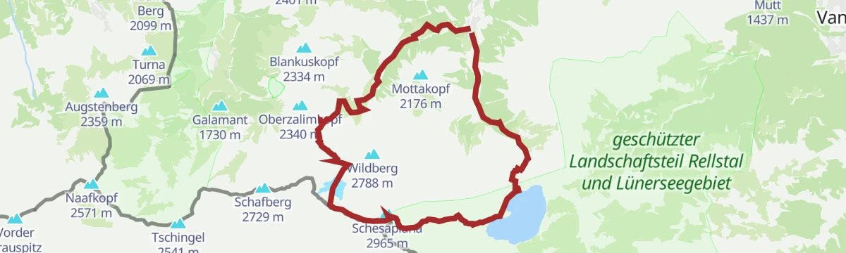
Open route Montafon TourismusMontafoner Rätikonrunde
A high stage of the Rätikon round, crossing several saddles on the way to the Lünersee.
- 13.4 km
- Distance
- 973 m
- Ascent
- 6 h 16 min
- Duration
Open route Montafon TourismusPanoramawanderung Rätikon - vom Rellstal zum Lünersee
A panorama round from the Rellstal by the Schweizertor and the Verajoch to the Lünersee and back.
- 14.7 km
- Distance
- 1 005 m
- Ascent
- 6 h 45 min
- Duration
Open route Montafon TourismusRund um die Kirchlispitzen (2.552 m)
A high round of the Kirchlispitzen, the wall of towers on the Swiss frontier.
- 14.7 km
- Distance
- 946 m
- Ascent
- 6 h 26 min
- Duration
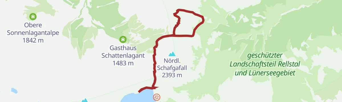
Open route Montafon TourismusSchafgafall - Hoch über der Perle des Rätikon
Through the Rellstal to the Schafgafall, high above the lake they call the pearl of the Rätikon.
- 11.6 km
- Distance
- 1 007 m
- Ascent
- 6 h 24 min
- Duration
Open route Montafon TourismusSchesaplana 2.965 m
The 2,965 m Schesaplana in a day, by the Böser Tritt and the Totalphütte, with the Lünersee below throughout.
- 13.5 km
- Distance
- 1 467 m
- Ascent
- 8 h 53 min
- Duration
Open route Alpenregion VorarlbergVandans Golmerbahn - Rellstal - Heinrich Hueter Hütte
Up the Rellsbach into the Rellstal and on to the Heinrich-Hueter-Hütte, with one cable-secured step.
- 8.9 km
- Distance
- 1 108 m
- Ascent
- 4 h 29 min
- Duration
Open route Montafon TourismusVom Lünersee zur Lindauer Hütte
A crossing past the Lünersee to the Lindauer Hütte, ending in the Montafon rather than back in the Brandnertal.
- 22.8 km
- Distance
- 1 560 m
- Ascent
- 10 h 34 min
- Duration
Open route Alpenregion VorarlbergÜbers Zimbajoch zum Lünersee
A demanding crossing through the Sarotlatal and over the Zimbajoch to the Lünersee.
- 16.9 km
- Distance
- 1 926 m
- Ascent
- 10 h 30 min
- Duration
Open route Alpenregion Vorarlberg







No routes of this kind in Vandans yet.
Planning a trip to Vandans?
Everything else Vorarlberg has, in one place


Take Vandans with you into the mountains
Every route on this page with 3D terrain, GPX navigation and offline maps — including the valleys with no signal.
Data sources
- Official website: montafon.at ↗
- Routes and highlights: Montafon Tourismus, PeakVisor / OpenStreetMap, Alpenregion Vorarlberg, PeakVisor tTRL (OpenStreetMap piste_type=skitour), Vorarlberg Tourismus
- Published as open data by the tourist boards named above.
- Region summary generated from the board's own material.
