
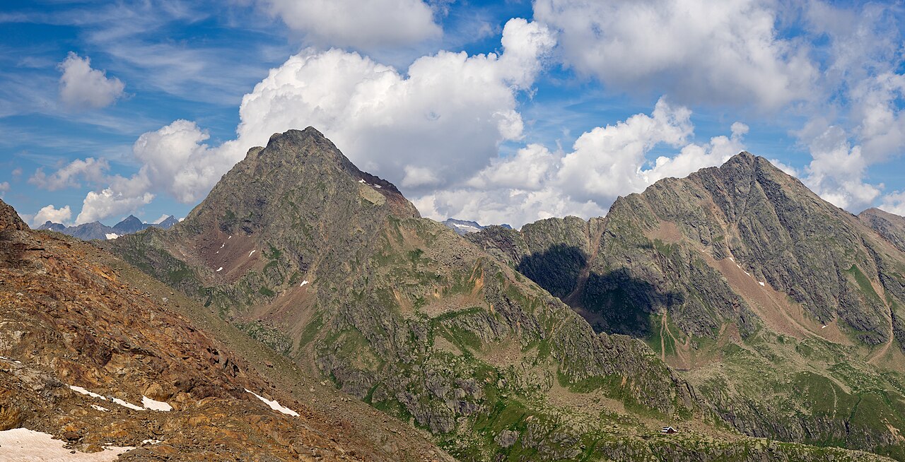
 Mountain hut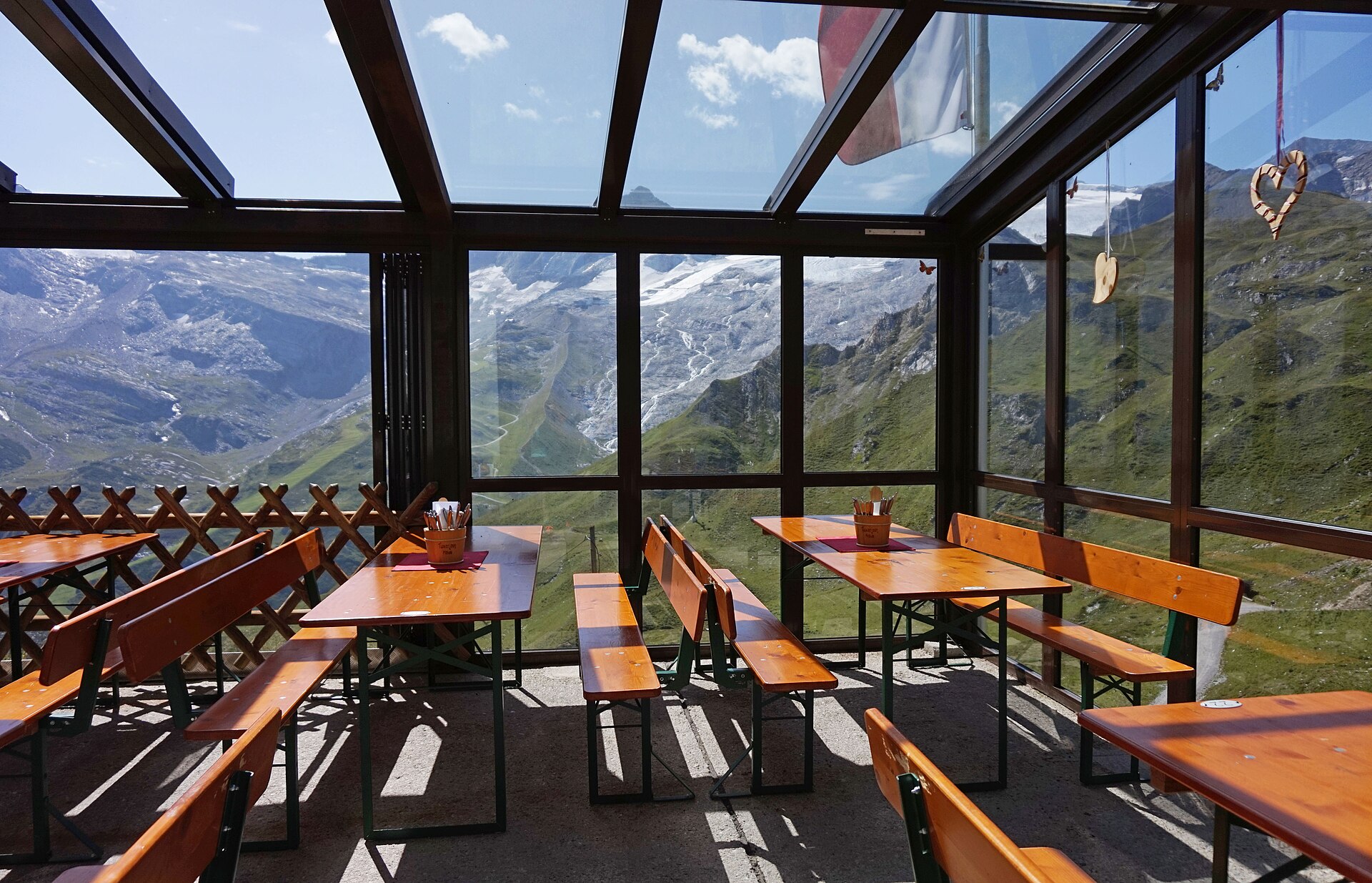

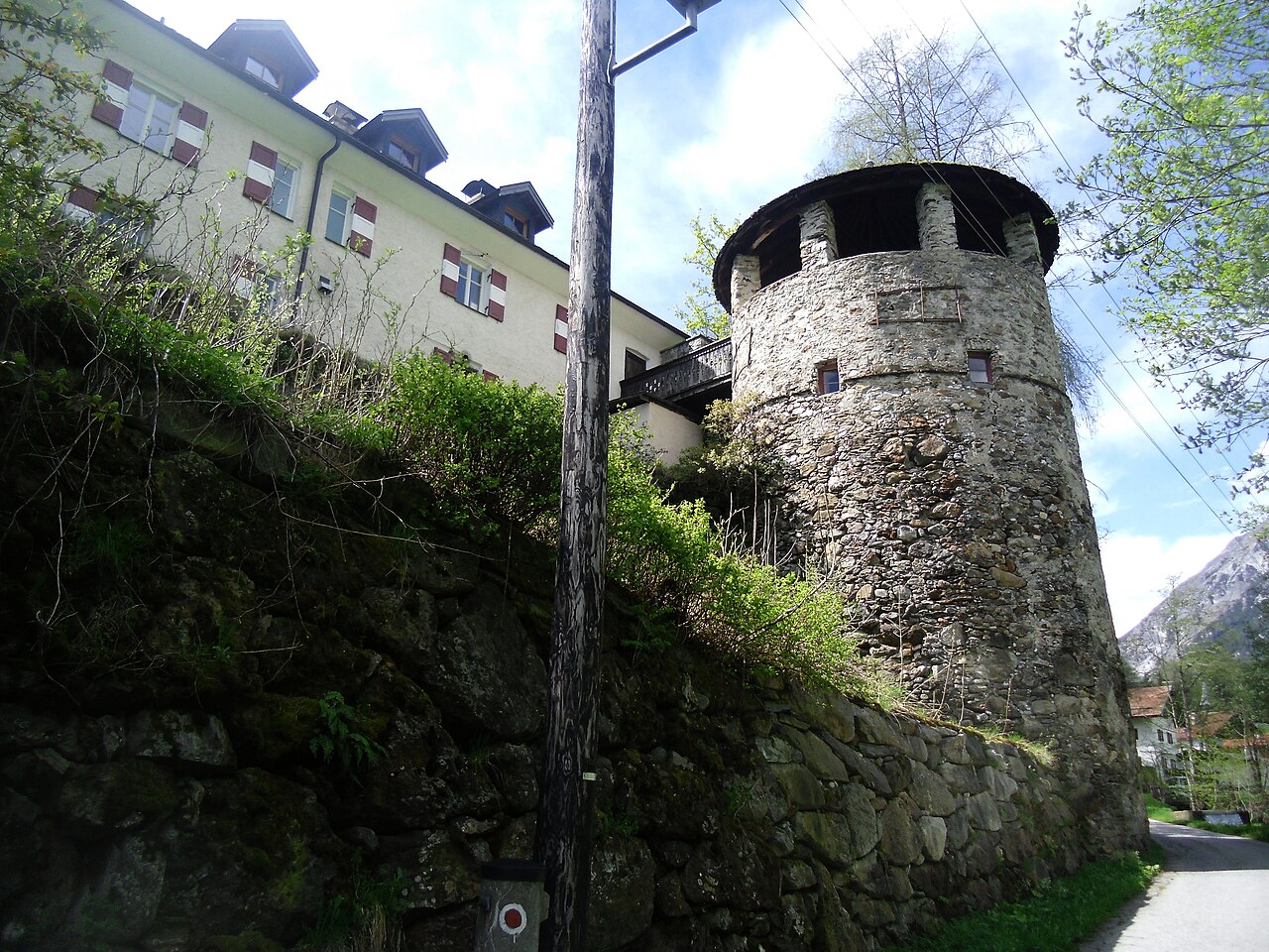
 Historic site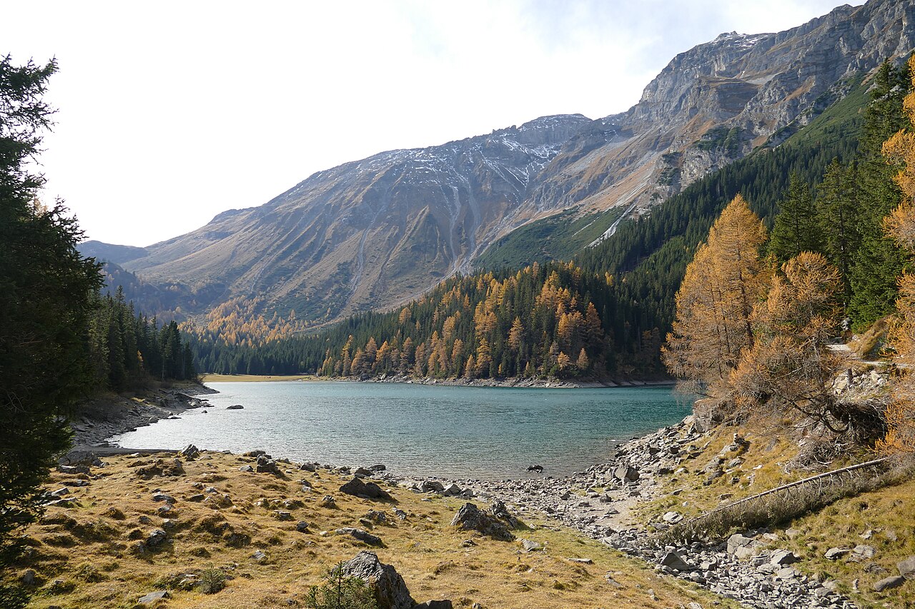


Curated by Wipptal Tourismus
Vals
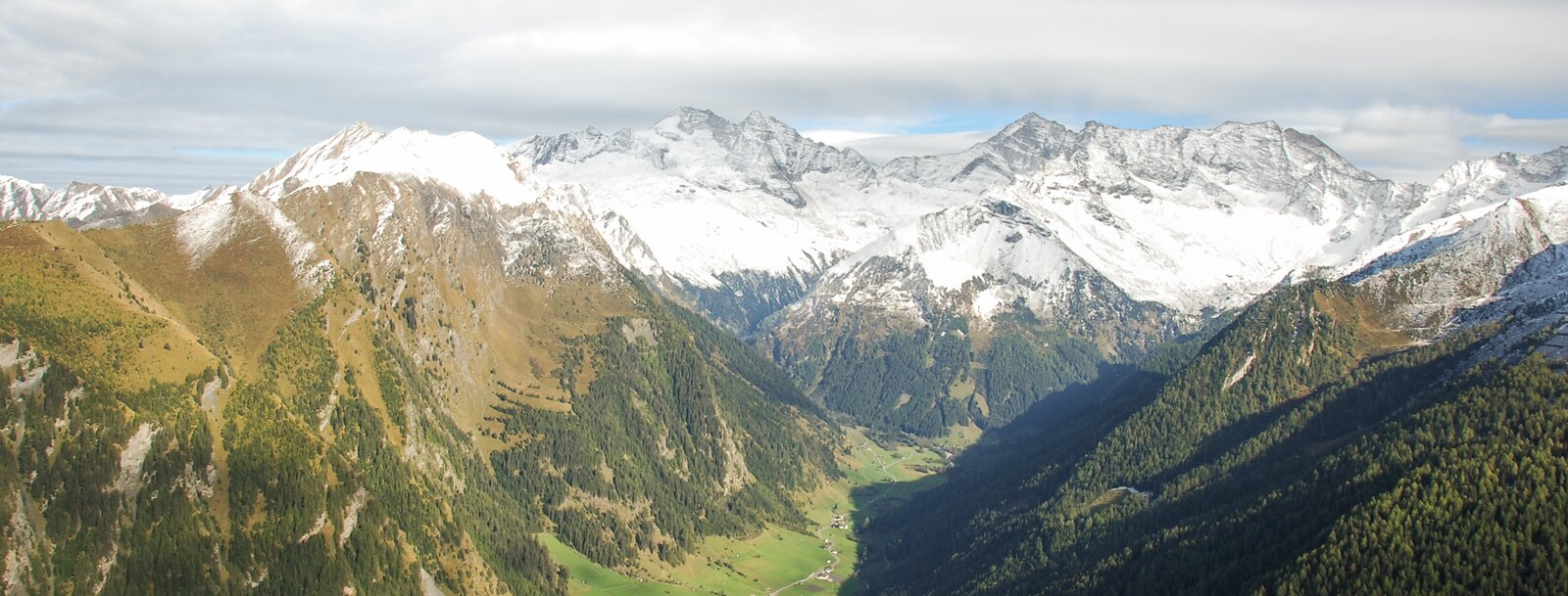
St. Jodok and the wild Valsertal below the Olperer, a mountaineering village where the Brenner railway loops its spiral around the church.
- 1Highlights
- 22Routes
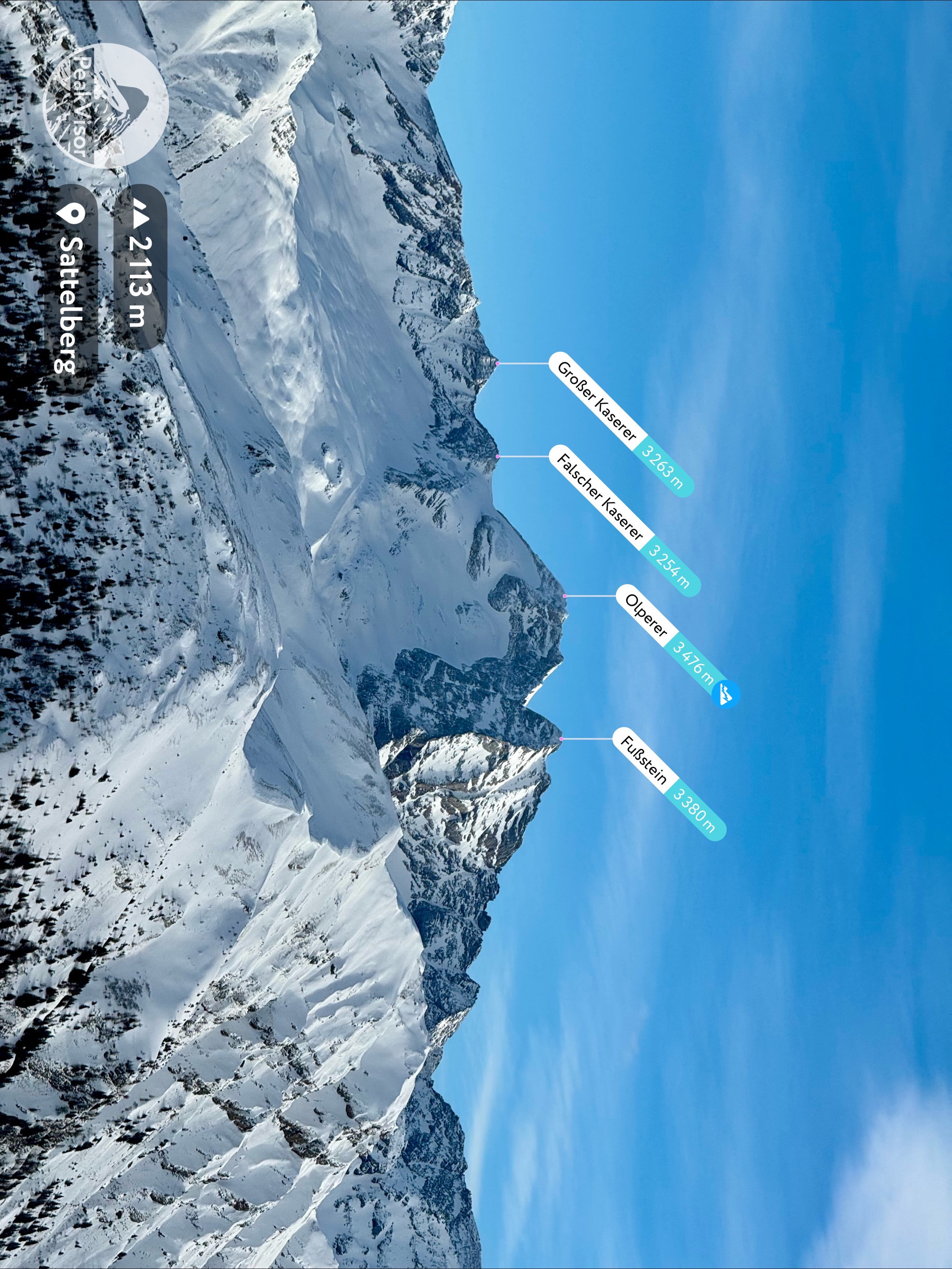
- Featured summit · Olperer
Highlights
6 from neighbouring places
 Climbing site https://wellcomeimages.org/indexplus/obf_images/59/75/e90ba921bf07b05b12371a892bad.jpg Gallery: https://wellcomeimages.org/indexplus/image/L0040558.html · CC BY 4.0
Sunblocker
An ice climbing line in the shaded Valser valley of the Wipptal, usually in condition through the cold midwinter weeks.
Bremer Hütte
9.9 km away, in Steinach am Brenner
An Alpine Club hut at 2,413 m at the head of the Gschnitztal, crossed by the Stubai High Trail on its stage to the Nürnberger Hütte.
Tuxerjochhaus 2.313 m
9.1 km away, in Tux
A mountain refuge at 2,313 m by the Tuxer Joch, the crossing between the Schmirn valley and Hintertux, serving hikers and ski tourers.
Naviser Hütte
11.4 km away, in Navis
A mountain hut in the Navis valley above the village of Navis, a destination for walkers in summer and tobogganers and ski tourers in winter.
Schloss Schneeberg
12.6 km away, in Trins
A historic castle in the Wipptal, the Tirolean valley running south from Innsbruck towards the Brenner Pass, counted among the area's sights.
Obernbergersee
13.3 km away, in Obernberg am Brenner
A mountain lake at the head of the Obernberg valley below the Tribulaun peaks, reached by an easy walk from Obernberg am Brenner.
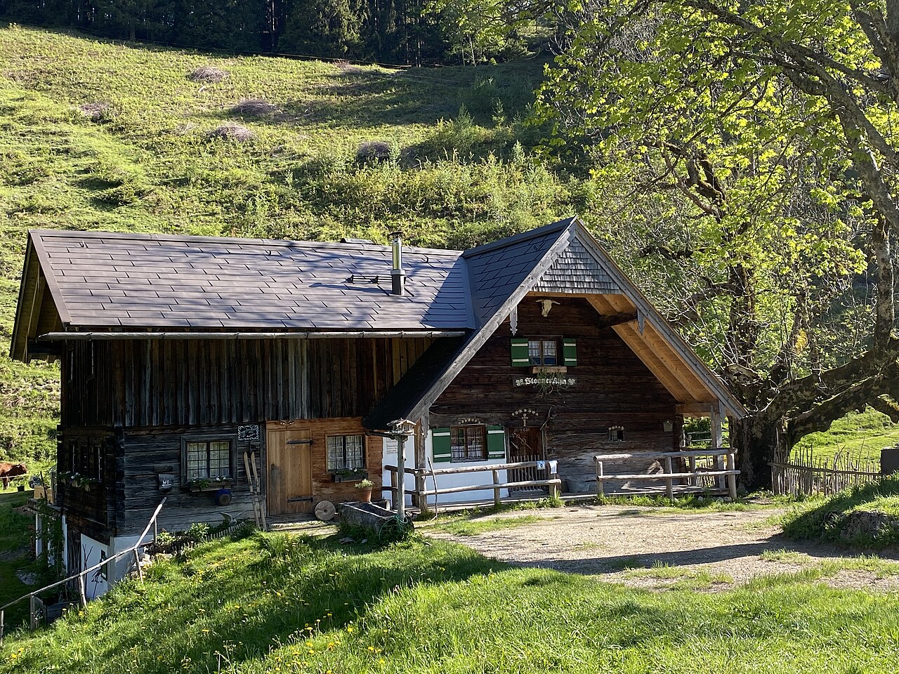
Steiner Alm
13.7 km away, in Obernberg am Brenner
A working pasture hut above Obernberg am Brenner, serving simple farm dishes to walkers heading toward the Obernberger See.
Nothing of this kind in Vals.
Routes
Rundwanderung um den Padauner Kogel (2.066m)
Round from the mountain hamlet of Padaun over the Padauner Kogel, a compact 2,066 m viewpoint between the Vals and Schmirn valleys.
- 5.7 km
- Distance
- 515 m
- Ascent
- 3 h 14 min
- Duration
- 8
- Check-ins
Padauner Kogel (2.066m) von St. Jodok aus
Climb from the rail village of St. Jodok to the Padauner Kogel, nearly 1,000 m up to a grandstand view over the Wipptal's side valleys.
- 11.8 km
- Distance
- 994 m
- Ascent
- 6 h 20 min
- Duration
- 12
- Check-ins
Vennspitze (2.390 m)
One of the Wipptal's classic beginner-friendly ski tours, climbing from Padaun to the Vennspitze's open summit slopes at 2,390 m.
- 2.9 km
- Distance
- 791 m
- Ascent
- 791 m
- Descent
- 2 h 25 min
- Duration
- 4
- Check-ins
Kluppen (2.940 m)
A long ski tour from the Nocker Alm in the Valsertal towards the Kluppen, climbing past the Mucheler Kaser through increasingly alpine terrain.
- 9.3 km
- Distance
- 1 564 m
- Ascent
- 1 564 m
- Descent
- 5 h 13 min
- Duration
- 4
- Check-ins
Rundgang Zeischalm
Short but steep circuit from the head of the Valsertal up to the Zeischalm, passing the Nocker Alm on the way through the forest.
- 3.8 km
- Distance
- 540 m
- Ascent
- 3 h 8 min
- Duration
- 4
- Check-ins
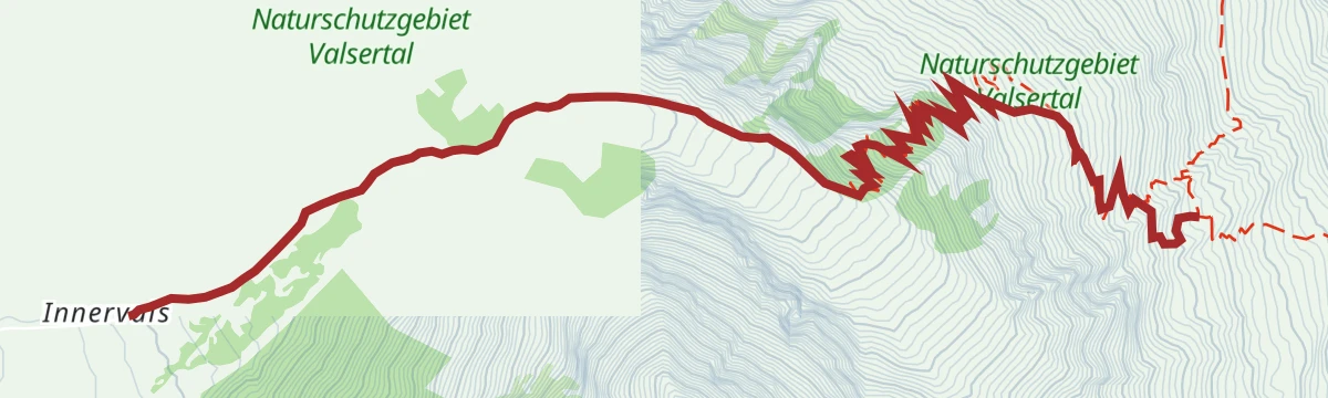
Olperer über Valsertal (3.476 m)
Huge alpine undertaking from the Valsertal over the Geraer Hütte and Wildlahnerscharte to the Olperer at 3,476 m, with over 2,100 m of ascent and exposed scrambling near the top.
- 11.7 km
- Distance
- 2 134 m
- Ascent
- 12 h
- Duration
- 11
- Check-ins
Silleskogel (2.419)
Ski tour starting from a hairpin on the Padaun road, climbing past the Sillesalm to the Silleskogel above the Valsertal.
- 3.6 km
- Distance
- 858 m
- Ascent
- 858 m
- Descent
- 2 h 41 min
- Duration
Alpeiner Scharte (2.959)
A long ski tour from the Nocker Alm in the Valsertal up to the Alpeiner Scharte, a high crossing point at nearly 3,000 m beneath the Olperer group.
- 7.8 km
- Distance
- 1 669 m
- Ascent
- 1 669 m
- Descent
- 5 h 18 min
- Duration
- 2
- Check-ins
Senselerweg: Geraerhütte über Alpeinerscharte zum Pfitscherjochhaus
Section of the Senselerweg, 11.2 km from the Geraer Hütte over the Alpeiner Scharte to the Pfitscher-Joch-Haus on the border with Italy.
- 11.2 km
- Distance
- 859 m
- Ascent
- 5 h 42 min
- Duration
Vennspitz-Silleskogel
Ridge circuit above Padaun linking the Vennspitze, Roßgrubenkofel and Silleskogel, three grassy summits over the Valsertal.
- 4.3 km
- Distance
- 903 m
- Ascent
- 5 h
- Duration
- 9
- Check-ins
Sumpfschartl (2.666)
Serious winter outing from the road end of the Valsertal, climbing more than 1,300 m from the Eben to a high notch at 2,666 m at the head of the valley.
- 5.7 km
- Distance
- 1 330 m
- Ascent
- 1 330 m
- Descent
- 4 h 10 min
- Duration
- 1
- Check-ins
Rundwanderung Padaun
Loop from St. Jodok up to the sunny saddle hamlet of Padaun and back, a moderate round between the Vals and Schmirn valleys.
- 7.8 km
- Distance
- 458 m
- Ascent
- 3 h 11 min
- Duration
Zustieg Geraer Hütte über Steinernes Lamm
Hut approach from the Wildlahnertal past the Issel-Alm and over the Steinernes Lamm to the Geraer Hütte, a stiff climb beneath the Olperer.
- 7.8 km
- Distance
- 1 029 m
- Ascent
- 6 h 2 min
- Duration
- 3
- Check-ins
Gammerspitze (2.537 m)
Ski tour from the Lorleswald parking in the Schmirntal toward the Gammerspitze, a steady ascent of around 1,100 m on mostly open slopes.
- 4.5 km
- Distance
- 1 090 m
- Ascent
- 1 090 m
- Descent
- 3 h 24 min
- Duration
Schmugglerpfad Etappe 2
Smugglers'-path stage in the Zillertal Alps climbing from the Geraer Hütte over the high Alpeiner Scharte and down to the Pfitscher Joch on the Italian border, where the Pfitscher-Joch-Haus waits.
- 9.5 km
- Distance
- 810 m
- Ascent
- 5 h 9 min
- Duration
Senselerweg: Toldern über Steinernes Lamm zur Geraerhütte
Stage of the Senselerweg climbing 1,067 m from Toldern by the Steinernes Lamm and the Schönjöchl to the Geraer Hütte, 9.5 km in all.
- 9.5 km
- Distance
- 1 064 m
- Ascent
- 4 h 47 min
- Duration
- 1
- Check-ins
Talwanderung Vals
Valley walk from St. Jodok into the Valsertal along the stream, a gentle out-and-back through one of the Wipptal's quietest side valleys.
- 7.7 km
- Distance
- 291 m
- Ascent
- 2 h 32 min
- Duration
Geraer Hütte über Altereralm
Steep hut approach from the Valsertal over the Altereralm to the Geraer Hütte, climbing about 1,000 m below the Olperer's north side.
- 7.9 km
- Distance
- 989 m
- Ascent
- 5 h 51 min
- Duration
Wanderung zum ehemaligen Molybdänbergwerk
Short, sharply steep trail from the Valsertal towards the Geraer Hütte and the workings of a former molybdenum mine high on the slope.
- 2.1 km
- Distance
- 554 m
- Ascent
- 3 h 1 min
- Duration
Ploaderalm-Niedervennjöchl-Saxalmwand
Demanding round from the inner Valsertal over the Ploaderalm and Niedervennjöchl onto the Saxalmwand, with 1,300 m of climbing in wild terrain.
- 5.8 km
- Distance
- 1 316 m
- Ascent
- 7 h 14 min
- Duration
Rundtour Gammerspitze
Loop from Aue in the Schmirntal onto the Gammerspitze ridge, a long round with over 1,100 m of climbing and open views toward the Zillertal Alps.
- 10.7 km
- Distance
- 1 161 m
- Ascent
- 7 h 2 min
- Duration
Schmugglerpfad Etappe 1
First stage of the smugglers' path from St. Jodok, climbing past the Ochsenalm and Flittneralm to the Geraer Hütte high in the Valsertal.
- 7.6 km
- Distance
- 1 014 m
- Ascent
- 5 h 57 min
- Duration
No routes of this kind in Vals yet.
The region's own picks

Featured route
Rundwanderung um den Padauner Kogel (2.066m)
Round from the mountain hamlet of Padaun over the Padauner Kogel, a compact 2,066 m viewpoint between the Vals and Schmirn valleys.
Planning a trip to Vals?
Everything else Tyrol has, in one place


Take Vals with you into the mountains
Every route on this page with 3D terrain, GPX navigation and offline maps — including the valleys with no signal.
Data sources
- Official website: wipptal.at ↗
- Routes and highlights: Wipptal Tourismus, Region Hall-Wattens, Tourismusverband Stubai Tirol
- Published as open data by the tourist boards named above.
- Region summary generated from the board's own material.
