





Curated by Sterzing, Pfitsch und Freienfeld
Valle di Casies/Gsies
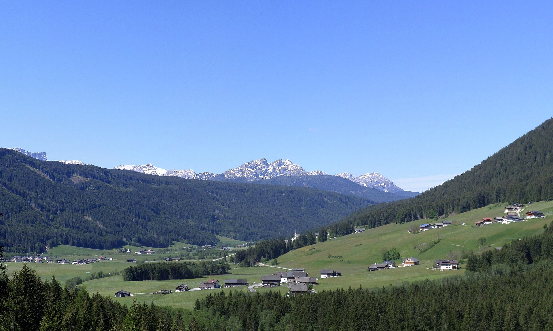
A long farming valley running north from the Pusteria to the Defereggen ridge, its scattered hamlets facing the Rieserferner peaks.
Photo: Llorenzi · CC BY-SA 3.0 licence
- 4Highlights
- 20Routes
- Featured summit · Spitzkinkele
Highlights
8 from neighbouring places
Kaser Alm 2076 m
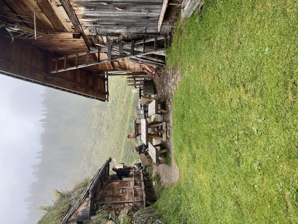
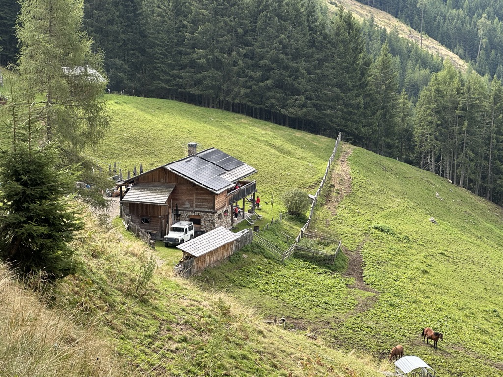
A dairy hut at 2,076 m on the pastures above the Valle di Casies, at the head of a side valley of the upper Val Pusteria.
Sterzing, Pfitsch und FreienfeldKradorfer Alm 1704 m
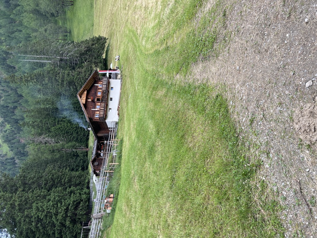
A dairy hut at 1,704 m on the pastures of the Valle di Casies, reached by forest road from the valley floor.
Sterzing, Pfitsch und FreienfeldMessnerhütte 1660 m
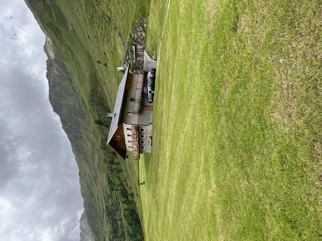
A hut at 1,660 m on the wooded slopes above the Valle di Casies, in the upper Val Pusteria.
Oberbergalm 1975 m
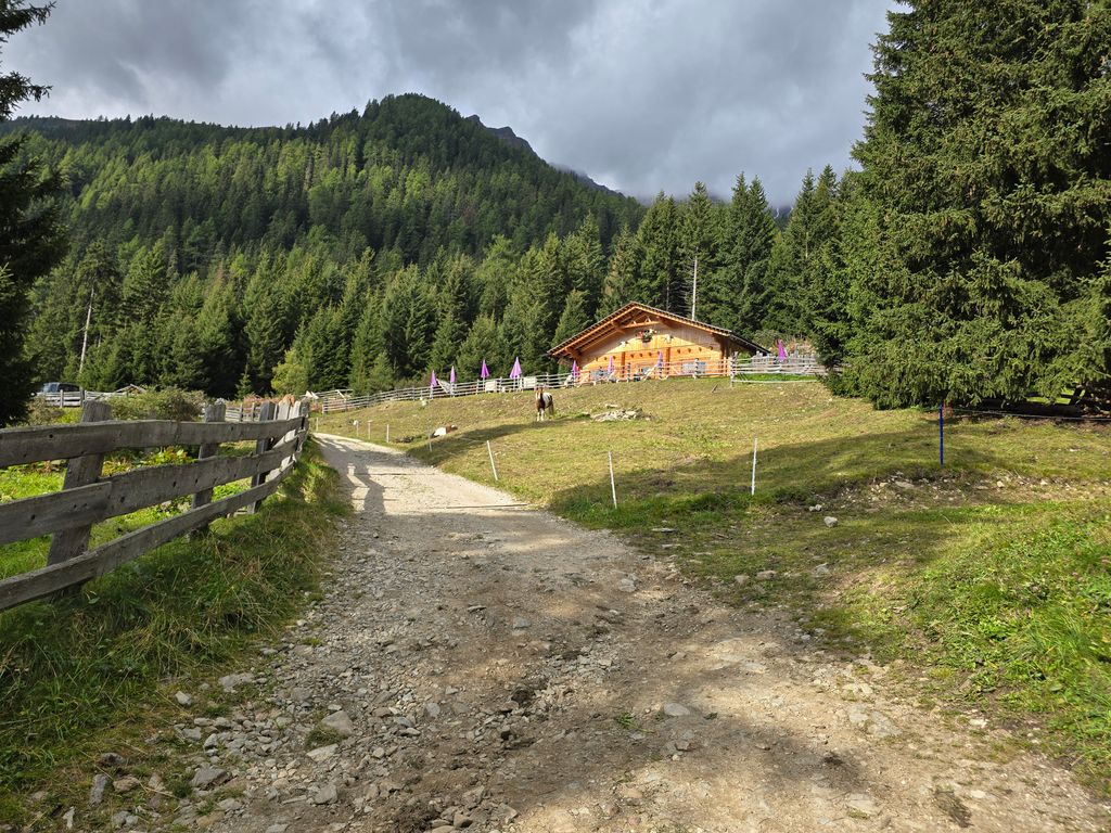
A dairy hut at 1,975 m on the open pastures of the Valle di Casies, below the ridge that carries the border with Austria.
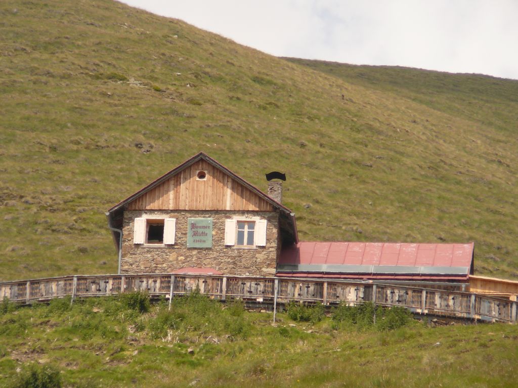
Rifugio alpino Bonnerhütte 2340 m
5.9 km away, in Dobbiaco/Toblach
A hut at 2,340 m walked up from Dobbiaco or the Val Casies, with overnight beds, a stube, a sun terrace and sunrise over the Pfannhorn.
Malga Steinzger 1.894m
7.9 km away, in Rasun-Anterselva/Rasen-Antholz
A dairy hut at 1,894 m on the open pastures above Anterselva, reached by track from the valley floor.
Sterzing, Pfitsch und FreienfeldMalga Hofstatt 1.300m
10.4 km away, in Rasun-Anterselva/Rasen-Antholz
A dairy hut at 1,300 m in the woods above Rasun, a short walk from the road up the Anterselva valley.
Malga Kumpfl
11.9 km away, in Rasun-Anterselva/Rasen-Antholz
A pasture hut above Rasun, on the walking paths between the Anterselva valley and the Plan de Corones side.
Malga Hochraut 1.643m
12.1 km away, in Rasun-Anterselva/Rasen-Antholz
A pasture hut at 1,643 m above Rasun, reached by forest road from the valley, with the Vedrette di Ries to the north.
Hochrautalm 1643 m
12.1 km away, in Rasun-Anterselva/Rasen-Antholz
A dairy hut at 1,643 m on the pastures above Rasun, at the mouth of the Anterselva valley.
Sterzing, Pfitsch und FreienfeldMalga Putz
13.3 km away, in Villabassa/Niederdorf
A dairy hut on the pastures above Villabassa, in the upper Val Pusteria below the Dolomiti di Braies.
Sterzing, Pfitsch und FreienfeldRifugio Gigante Baranci
12.1 km away, in San Candido/Innichen
A refuge at the foot of the Baranci above San Candido, in the Sesto Dolomites, reached from the Baranci lift or on foot from the village.
Nothing of this kind in Valle di Casies/Gsies.
Routes
Il Percorso del bue in Val Casies
A valley-floor walk from Santa Maddalena in the Val Casies, following the old droving route.
- 6.4 km
- Distance
- 225 m
- Ascent
- 2 h 3 min
- Duration
- 22
- Check-ins
Open route Gsiesertal - Welsberg - TaistenIl sentiero Lottersteig a Tesido
A family route from the tourist office at Tesido along the Lottersteig, long enough that most walkers take in only part of it.
- 14.5 km
- Distance
- 691 m
- Ascent
- 5 h 7 min
- Duration
- 26
- Check-ins
 Alpen Tesitin 1 313 m
- Pizzeria Hitte 1 227 m
- Tourist info 1 200 m
- Unterguggenberghof 1 410 m
- Oberguggenberg 1 418 m
- Mana Cafe Bar 1 226 m
- +3
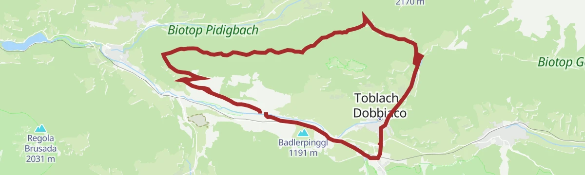
Open route Gsiesertal - Welsberg - TaistenAltavia di Dobbiaco
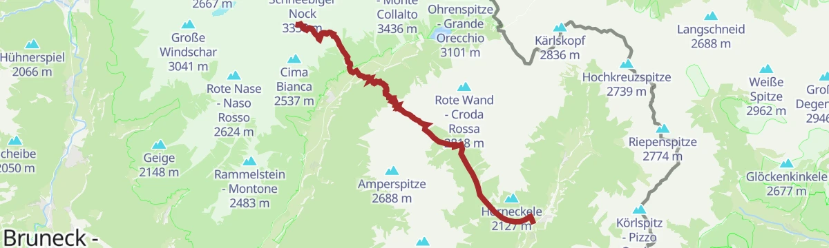
A long high route along the Italian-Austrian border above Dobbiaco, waymarked with a yellow H and passing the Bonner and March huts.
- 27.2 km
- Distance
- 1 716 m
- Ascent
- 11 h 44 min
- Duration
- 107
- Check-ins
 Spitzkinkele 2 659 m
- Toblacher Pfannhorn - Corno di Fana 2 663 m
- Marchkinkele - Cornetto Di Confine 2 545 m
- Gaishörndl 2 615 m
- Golfen - Monte Calvo 2 474 m
- Hochhorn 2 625 m
- +10
Open route Sterzing, Pfitsch und FreienfeldSkitour: Malga Uwald Alm in Val Casies
An easy ski tour from the valley floor at Santa Maddalena to the Uwald Alm, the best viewpoint over the Casies valley; descent by the line of ascent.
- 4.7 km
- Distance
- 579 m
- Ascent
- 0 m
- Descent
- 1 h 49 min
- Duration
- 40
- Check-ins
Open route Sterzing, Pfitsch und FreienfeldSci Alpinismo: Forcella di Ciarnil in Val Casies
A ski or snowshoe climb from Santa Maddalena to the Kalksteinjoechl, the crossing into the Austrian Villgraten valley, on north-facing ground.
- 10.7 km
- Distance
- 1 061 m
- Ascent
- 96 m
- Descent
- 3 h 46 min
- Duration
- 59
- Check-ins
- Talschlusshütte 1 465 m
- Moos Alm 1 476 m
- Rotmooshof 1 483 m
 Kalksteiner Jöchl 2 326 m
- Hacklerhof 1 535 m
- Tschernied Alm 1 976 m
- +1
Open route Sterzing, Pfitsch und FreienfeldMTB-Tour 3 Cime Dolomiti in un tour (013)
A long circuit taking in the Tre Cime area, on forest roads by the Malga San Silvestro and the Stoneman info point.
- 64.7 km
- Distance
- 1 386 m
- Ascent
- 7 h 3 min
- Duration
- 99
- Check-ins
- Baita 1 175 m
- STONEMAN - Spirit Info Point 1 314 m
- Paradiso 1 197 m
- Silvesteralm - Malga San Silvestro 1 800 m
- Schnegga Soge 1 492 m
- Kugler Speckstube 1 310 m
- +8
Open route 3 Zinnen DolomitenEscursione storica: Sentiero Kirchsteig in Val Casies
A historic church path from Colle in the Casies valley over to Santa Maria near Dobbiaco, with a bus back on line 441.
- 6.7 km
- Distance
- 507 m
- Ascent
- 3 h 7 min
- Duration
- 2
- Check-ins
Open route Gsiesertal - Welsberg - TaistenIl sentiero Almweg 2000 in Val Casies: Tappa attraverso le malghe Tscharnietalm-Kaser Alm-Stumpfalm-Uwald Alm
A stage of the Almweg 2000, which runs dairy to dairy at around 2,000 m by the Tscharnietalm, Kaser Alm, Stumpfalm and Uwald Alm, several of them serving food.
- 16.8 km
- Distance
- 903 m
- Ascent
- 6 h 27 min
- Duration
- 74
- Check-ins
- Talschlusshütte 1 465 m
- Uwald Alm 2 030 m
- Stumpfalm 2 004 m
- Kipfel-Alm 2 104 m
- Kaseralm 2 076 m
- Burgerhof 1 505 m
- +4
Open route Sterzing, Pfitsch und FreienfeldEscursione scialpinistica: Franadega - Monte Calvo
An undemanding ski ascent of Monte Calvo above Dobbiaco, on ground that comes into condition soon after a snowfall.
- 5.4 km
- Distance
- 818 m
- Ascent
- 0 m
- Descent
- 2 h 24 min
- Duration
- 6
- Check-ins
Open route Sterzing, Pfitsch und FreienfeldSci Alpinismo: Monte Hochkreuzspitze in Val Casies
The classic Casies ski and snowshoe line, up the Pfoital to the Monte Alta Croce, wide open ground with few steep slopes; care needed after fresh snow.
- 7.5 km
- Distance
- 1 269 m
- Ascent
- 0 m
- Descent
- 3 h 38 min
- Duration
- 43
- Check-ins
- Hochkreuzspitze 2 739 m
- Spielbühel 2 322 m
- Mittlerhochkreuz - Monte Croce d Mezzo 2 718 m
- Talschlusshütte 1 465 m
- Uwald Alm 2 030 m
 Pfoisee 2 576 m
- +1
Open route Sterzing, Pfitsch und FreienfeldMTB TourGiro Val Casies (046)
A circuit into the neighbouring Val Casies that front-loads its climbing, leaving the return leg almost level.
- 33.3 km
- Distance
- 553 m
- Ascent
- 3 h 29 min
- Duration
- 66
- Check-ins
- Conglomerato di Monguelfo 1 128 m
- Baita 1 175 m
- Touristeninformation - Informazioni turistiche 1 217 m
- Rifugio Genziana - Enzianhütte 1 351 m
- Tourismusbüro Niederdorf - Ufficio Turistico di Villabassa 1 156 m
- Villa San Giuseppe 1 170 m
- +3
Open route 3 Zinnen DolomitenLa Via Lucis in Val Casies
A meditation route from the parish church at San Martino in the Casies valley, returning down the Karbachtal; the first Via Lucis in South Tyrol.
- 7.1 km
- Distance
- 260 m
- Ascent
- 2 h 18 min
- Duration
- 2
- Check-ins
Open route Gsiesertal - Welsberg - TaistenVia Alpina in the Antholz Valley – stage via Grüblscharte to Rieserferner Hut
A Via Alpina stage from the Casies valley over the Grueblscharte into the Anterselva valley and up to the Rieserferner hut.
- 21.7 km
- Distance
- 2 586 m
- Ascent
- 12 h 34 min
- Duration
- 18
- Check-ins
- Rieserfernerhütte - Rifugio Vedrette di Ries 2 792 m
- Schwörzalm 1 681 m
- Gänsebichlsee 2 789 m
- Lastatt 1 601 m
- Oerl 1 276 m
- Grüblscharte 2 394 m
- +7
Open route Tourismusgenossenschaft AntholzertalSci Alpinismo: Al Monte Fellhorn in Val Casies
A panoramic ski tour among the Casies mountains from the valley floor at Santa Maddalena, about four hours up on south-east and north-east slopes.
- 7.9 km
- Distance
- 930 m
- Ascent
- 0 m
- Descent
- 2 h 57 min
- Duration
- 39
- Check-ins
Open route Sterzing, Pfitsch und FreienfeldeMTB-Tour Val Casies (046)
An e-bike circuit into the Val Casies, the climbing concentrated in the first half and the way back nearly flat.
- 33.8 km
- Distance
- 558 m
- Ascent
- 3 h 31 min
- Duration
- 62
- Check-ins
- Conglomerato di Monguelfo 1 128 m
- Baita 1 175 m
- Touristeninformation - Informazioni turistiche 1 217 m
- Rifugio Genziana - Enzianhütte 1 351 m
- Schuler 1 225 m
- Enzianhütte - Rifugio Genziana 1 350 m
- +5
Open route 3 Zinnen DolomitenPasseggiata del Gewürztraminer
A walk out of the old centre of Termeno through vineyards on sunny slopes and shaded woodland to the hamlet of Ronchi and back.
- 11.2 km
- Distance
- 294 m
- Ascent
- 3 h 21 min
- Duration
- 1
- Check-ins
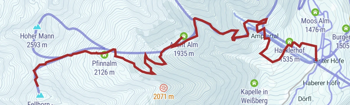
Open route Sterzing, Pfitsch und FreienfeldSci Alpinismo: Monte Hoher Mann in Val di Casies
A ski tour by way of the Aschtalm, the Pfinn huts and the Pfinnscharte to the Hoher Mann, a snow mountain that asks for stamina rather than technique.
- 6.2 km
- Distance
- 1 124 m
- Ascent
- 0 m
- Descent
- 3 h 10 min
- Duration
- 36
- Check-ins
Open route Sterzing, Pfitsch und FreienfeldGiro Montecosta (061)
A forest-road climb from Villabassa onto the sunny terrace of the Montecosta, reaching the Enzianhütte and the Bellavista lookout.
- 25.5 km
- Distance
- 600 m
- Ascent
- 2 h 50 min
- Duration
- 50
- Check-ins
- Baita 1 175 m
- Touristeninformation - Informazioni turistiche 1 217 m
- Rifugio Genziana - Enzianhütte 1 351 m
- Enzianhütte - Rifugio Genziana 1 350 m
- Schupfe 1 341 m
Open route 3 Zinnen DolomitenSci Alpinismo: Rotlahner in Val Casies
A well-known easy ski mountain in the Casies Alps, with two steep slopes, below the Kasermaehder dairy and near the Heimwaldjoch, and no technical ground.
- 7.9 km
- Distance
- 1 277 m
- Ascent
- 0 m
- Descent
- 3 h 42 min
- Duration
- 32
- Check-ins
- Rotlahner 2 743 m
- Talschlusshütte 1 465 m
- Kipfel-Alm 2 104 m
- Kasermähder-Alm 2 051 m
- Heimwaldjöchl 2 644 m
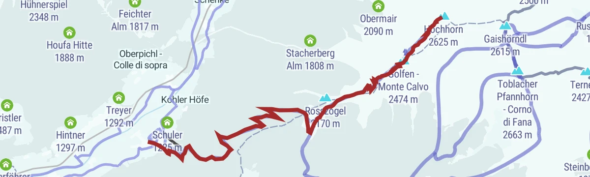
Open route Sterzing, Pfitsch und FreienfeldSci Alpinismo: Monte Hochhorn in Val Casies
A ski tour from Planca di Sotto by the Schuher Alm and the Golfen to the Hochhorn, open ground on moderate slopes, best between December and March.
- 10.2 km
- Distance
- 1 413 m
- Ascent
- 20 m
- Descent
- 4 h 16 min
- Duration
- 12
- Check-ins
Open route Sterzing, Pfitsch und Freienfeld
No routes of this kind in Valle di Casies/Gsies yet.
The region's own picks

Featured route
Il Percorso del bue in Val Casies
A valley-floor walk from Santa Maddalena in the Val Casies, following the old droving route.
Planning a trip to Valle di Casies/Gsies?
Everything else Trentino-Alto Adige/Südtirol has, in one place


Take Valle di Casies/Gsies with you into the mountains
Every route on this page with 3D terrain, GPX navigation and offline maps — including the valleys with no signal.
Data sources
- Official website: gsieser-tal.com ↗
- Routes and highlights: Sterzing, Pfitsch und Freienfeld, Gsiesertal - Welsberg - Taisten, 3 Zinnen Dolomiten, YesAlps, Tourismusgenossenschaft Antholzertal
- Published as open data by the tourist boards named above.
- Region summary generated from the board's own material.
