













Curated by Valtellina Outdoor
Valfurva
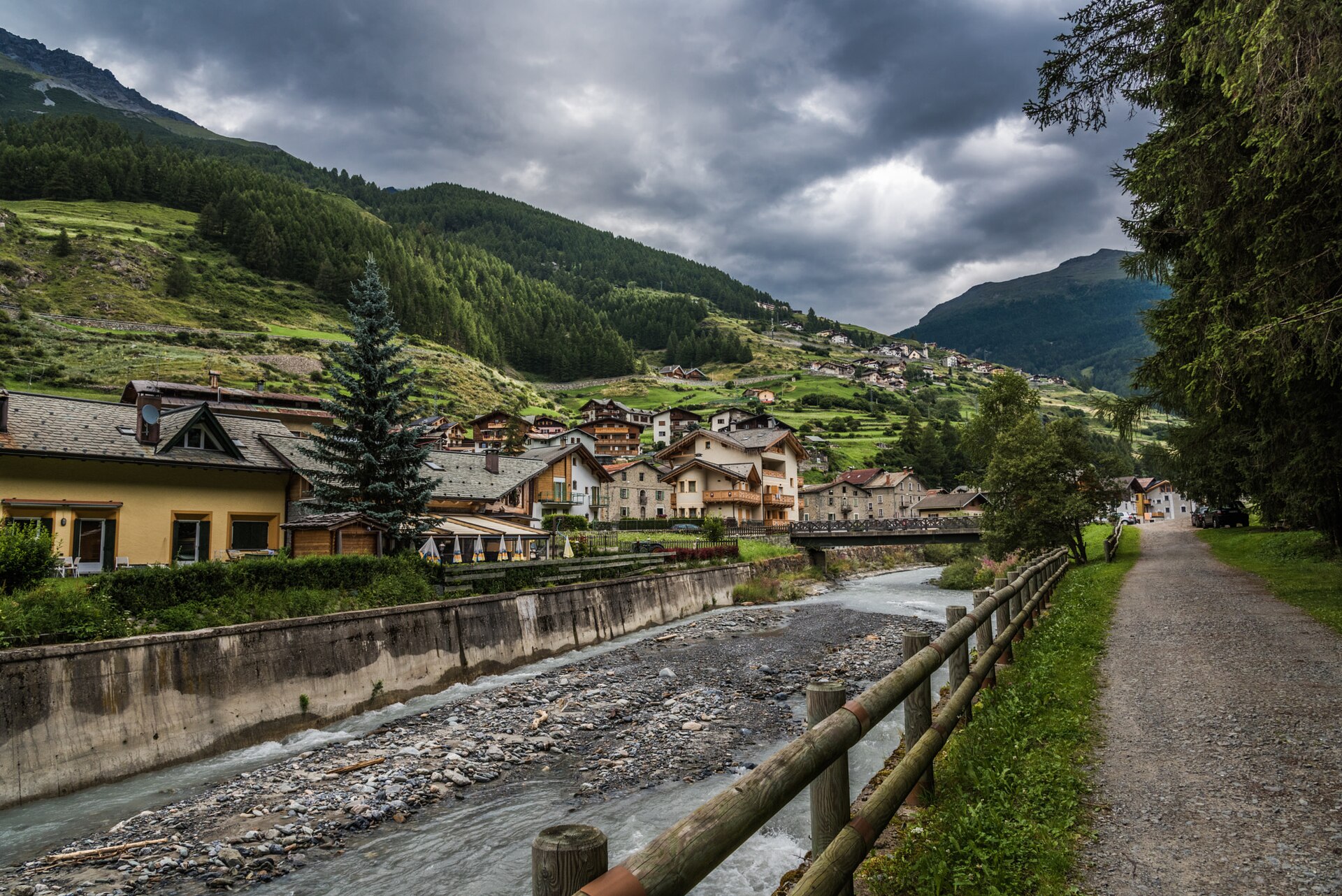
Valtellina comune at the head of the Valfurva, base for the Stelvio park's long glacier tours and one of the densest trail networks in Lombardy.
- 3Highlights
- 138Routes
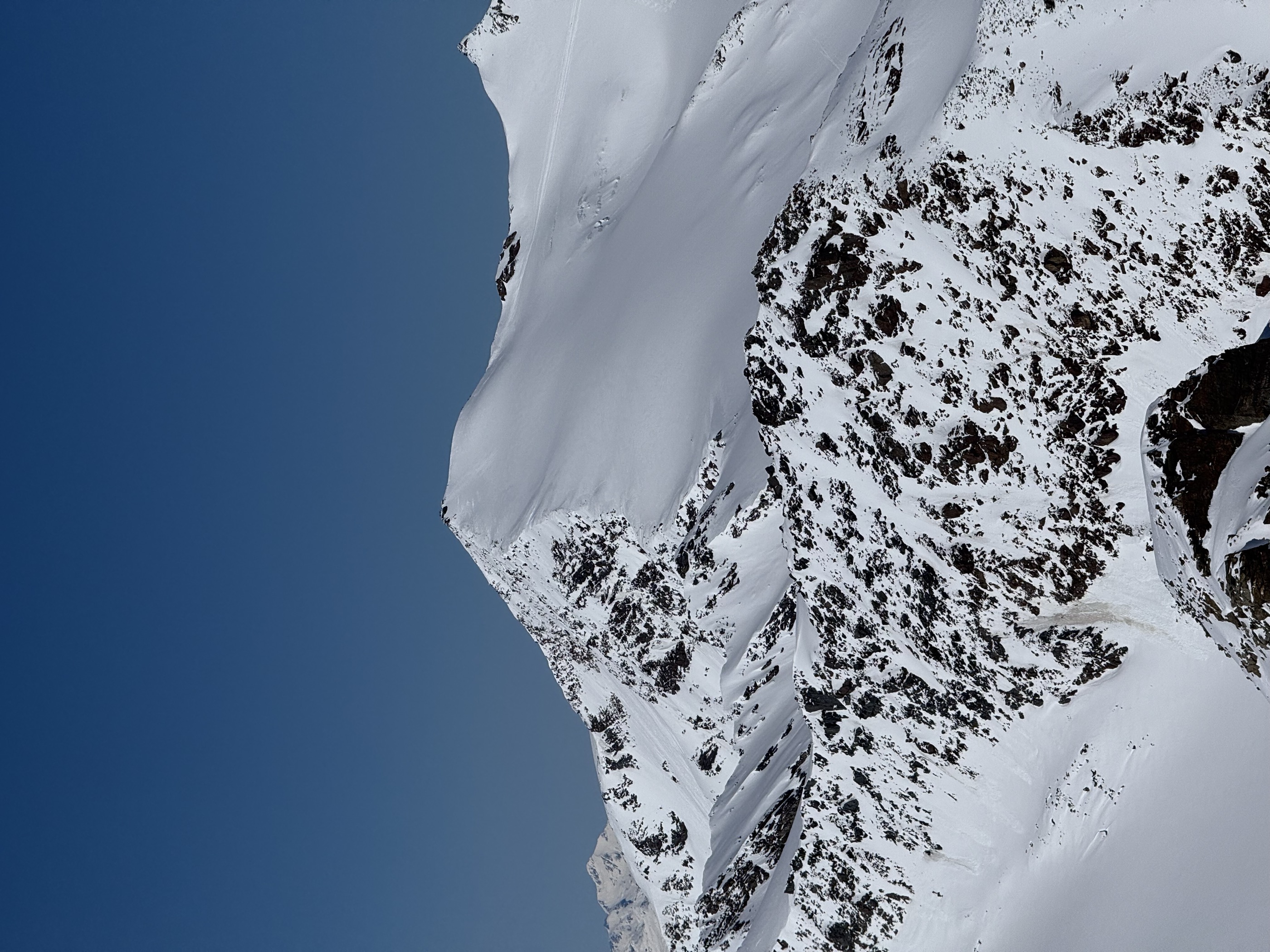
- Featured summit · Monte Cevedale
Highlights
All 3 from neighbouring places
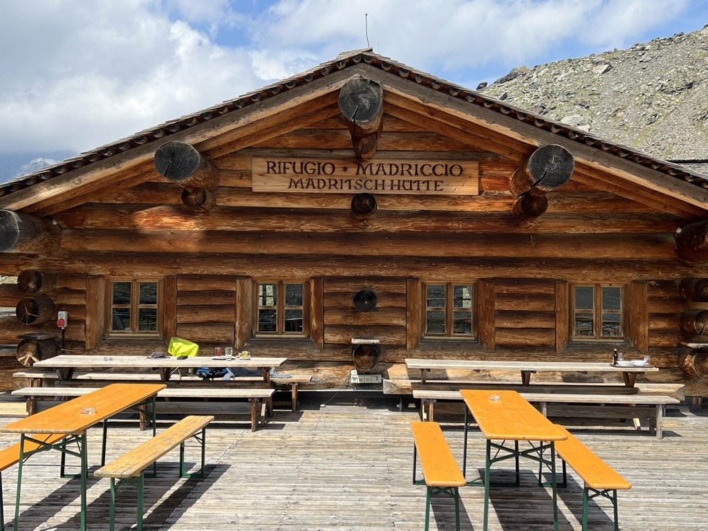
Rifugio Madriccio
11.8 km away, in Stelvio/Stilfs
A refuge on the pastures below the Passo Madriccio above Solda, on the traverse under the Ortler and Gran Zebrù.
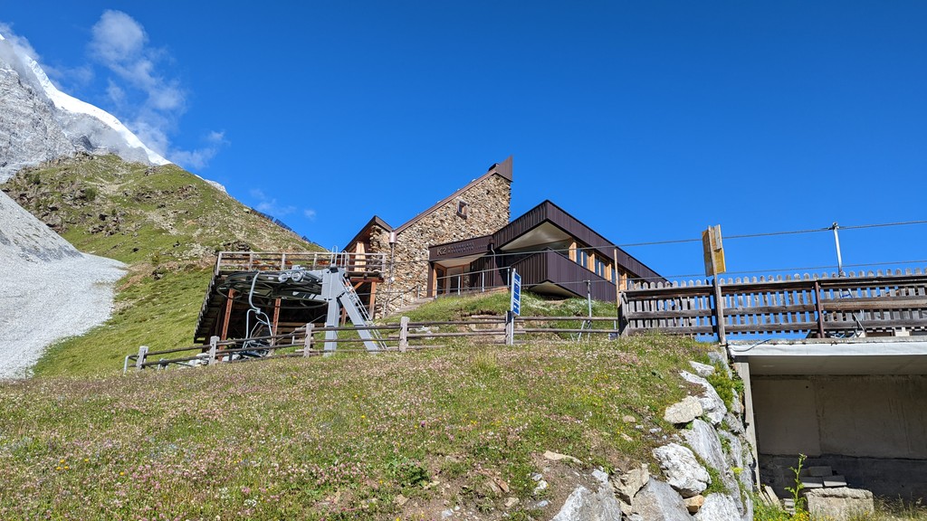
Sterzing, Pfitsch und FreienfeldRifugio K2
12.4 km away, in Stelvio/Stilfs
A hut above Solda in the Ortler group, reached by the Solda lifts and facing the north side of the Ortler.
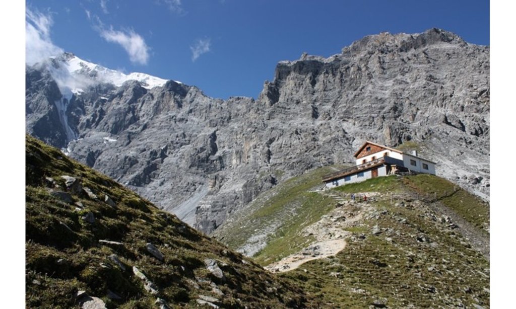
Tabarettahütte/ Rifugio Tabaretta
13 km away, in Stelvio/Stilfs
A refuge on the Tabaretta ridge above Solda, on the way up to the Payer hut and the normal route on the Ortler.
Nothing of this kind in Valfurva.
Routes
50 routes, an even mix of activities · see the rest on bormio.eu ↗
Jacopo Compagnoni Via Ferrata
A short equipped route on the rock spurs by the Branca hut in the Forni valley, under the ice faces of the Ortles-Cevedale massif in the Stelvio park.
- 230 m
- Distance
- 165 m
- Ascent
- 38 min
- Duration
Open route Valtellina OutdoorRifugio Branca with joëlette
The path from the Forni car park to the Branca hut, wide enough for a joëlette wheelchair, facing the Forni glacier.
- 5.3 km
- Distance
- 323 m
- Ascent
- 2 h 14 min
- Duration
- 132
- Check-ins
Open route Valtellina OutdoorLow Glaciological Trail
A cart track from the Forni hotel up to the Branca hut at 2,493 m, passing a small reservoir on ground the Forni glacier covered a century ago.
- 6.1 km
- Distance
- 355 m
- Ascent
- 2 h 30 min
- Duration
- 172
- Check-ins
 Rifugio Ghiacciaio dei Forni 2 178 m
- Branca Hut 2 493 m
- Battaglione Mondovì "Agosto 1918" 2 204 m
 Lago delle Rosole 2 450 m
- Presa Forni 2 166 m
Open route Valtellina OutdoorMount Cevedale from the Forni
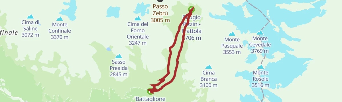
A glacier ascent of Monte Cevedale by way of the Pizzini hut and the old Casati refuge, on the broad vedretta of the Ortles-Cevedale group.
- 23.1 km
- Distance
- 1 719 m
- Ascent
- 11 h 15 min
- Duration
- 223
- Check-ins
 Monte Cevedale 3 769 m
- Rifugio Pizzini-Frattola 2 706 m
- Rifugio Ghiacciaio dei Forni 2 178 m
- Battaglione Mondovì "Agosto 1918" 2 204 m
 Langenfernerjoch - Passo del Cevedale 3 256 m
- Rifugio Gianni Casati 3 269 m
- +1
Open route Valtellina OutdoorSci alpinismo al Cevedale
A ski ascent of Monte Cevedale, technically straightforward for so large a peak and one of the standard tours of the Ortles-Cevedale.
- 12.8 km
- Distance
- 1 151 m
- Ascent
- 1 146 m
- Descent
- 4 h 37 min
- Duration
- 97
- Check-ins
- Monte Cevedale 3 769 m
- Langenfernerjoch - Passo del Cevedale 3 256 m
- Rifugio Gianni Casati 3 269 m
- Schaubachhütte - Rifugio Città di Milano 2 581 m
- Rifugio Invernale Alessandro Guasti 3 285 m
- Eisseepass - Passo del Lago Gelato 3 150 m
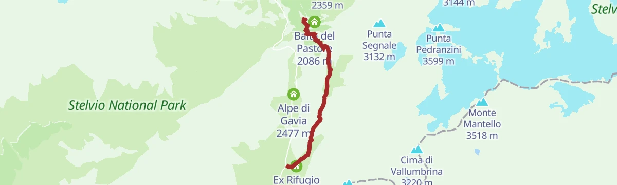
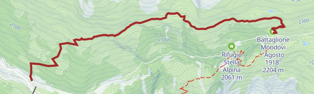
Open route Sterzing, Pfitsch und FreienfeldBormio 360 Mountain Bike - Stage 8 - Ice Trail
A singletrack stage above the Gavia road from Malga dell'Alpe, dropping through forest to Ponte delle Vacche and climbing to Dosso Tresero.
- 13.1 km
- Distance
- 595 m
- Ascent
- 1 h 48 min
- Duration
- 91
- Check-ins
- Dosso Tresero 2 359 m
- Rifugio Ghiacciaio dei Forni 2 178 m
- Rifugio Stella Alpina 2 061 m
- Malga dell'Alpe 2 305 m
- Baita del Pastore 2 086 m
Open route Valtellina Outdoor3 Gondole Tour
A long day linking the three Bormio gondolas, from Bormio 2000 round to the Sunny Valley hut in Valfurva.
- 78.1 km
- Distance
- 3 288 m
- Ascent
- 10 h 2 min
- Duration
- 115
- Check-ins
- Rifugio Sunny Valley 2 644 m
- Gallo Cedrone 1 956 m
- Proloco Valfurva 1 734 m
- Rifugio La Baita 1 860 m
- Rifugio Conca Bianca 1 987 m
- Hotel Eira 1 240 m
- +9
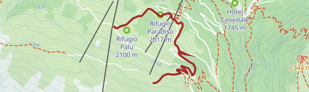
Open route Valtellina OutdoorStelvio Epic Rides: Forni climb
A steady climb from Santa Caterina into the Forni valley to the hut at 2,176 m, below Italy's largest valley glacier and the Tresero-Cevedale peaks.
- 4.9 km
- Distance
- 433 m
- Ascent
- 44 min
- Duration
- 75
- Check-ins
Open route Valtellina OutdoorEnergy Cycle Path - Orange Route
A climb up the Valfurva to the Forni glacier basin, following the cycle route linking the A2A hydro plants to Rifugio Ghiacciaio dei Forni.
- 22.8 km
- Distance
- 1 243 m
- Ascent
- 2 h 50 min
- Duration
- 159
- Check-ins
- Rifugio Ghiacciaio dei Forni 2 178 m
- Battaglione Mondovì "Agosto 1918" 2 204 m
- Rifugio Stella Alpina 2 061 m
- Presa Forni 2 166 m
- La Fonte 1 732 m
- Proloco Valfurva 1 734 m
- +1
Open route Valtellina OutdoorEscursione dal Passo Gavia al RIfugio Berni
A short walk near the Gavia pass to the Berni hut, crossing the old stone bridge below the Dosso.
- 2.8 km
- Distance
- 20 m
- Ascent
- 46 min
- Duration
- 91
- Check-ins
- Rifugio Arnaldo Berni 2 560 m
- Passo di Gavia 2 621 m
- Rifugio Bonetta 2 621 m
- Ex Rifugio Gavia 2 534 m
- Lago Bianco 2 611 m
Open route Valtellina OutdoorUpper Glaciological Path
A path up the Forni valley to the glacier front, crossing the Frodolfo on a suspension bridge, with markers on how the ice shaped the valley.
- 8.1 km
- Distance
- 541 m
- Ascent
- 3 h 37 min
- Duration
- 152
- Check-ins
- Rifugio Ghiacciaio dei Forni 2 178 m
- Branca Hut 2 493 m
- Battaglione Mondovì "Agosto 1918" 2 204 m
- Lago delle Rosole 2 450 m
Open route Valtellina OutdoorCima Solda
A climb from the Forni by mule track to the Pizzini hut and on up Val Cedec to the Cima di Solda on the Ortles-Cevedale crest.
- 8.1 km
- Distance
- 1 188 m
- Ascent
- 4 h 41 min
- Duration
- 216
- Check-ins
- Cima di Solda - Suldenspitze 3 376 m
- Rifugio Pizzini-Frattola 2 706 m
- Rifugio Ghiacciaio dei Forni 2 178 m
- Battaglione Mondovì "Agosto 1918" 2 204 m
- Langenfernerjoch - Passo del Cevedale 3 256 m
- Rifugio Gianni Casati 3 269 m
- +1
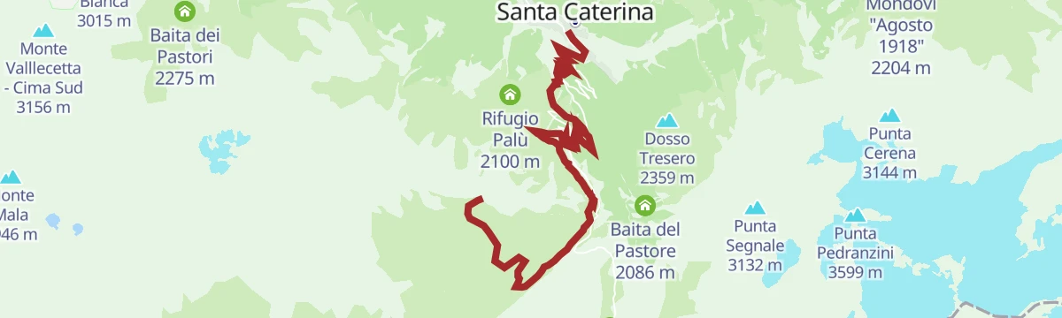
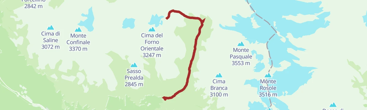
Open route Valtellina OutdoorFreeride MTB Route Bormio 3000 - Santa Caterina Valfurva
A long descent from the lift top at just over 3,000 m past the Bei Laghetti tarns and the Bocca di Profa, technical in places, to Santa Caterina.
- 12.3 km
- Distance
- 217 m
- Ascent
- 1 h 52 min
- Duration
- 62
- Check-ins
- Cima Bianca 3 015 m
- Heaven 3000 3 012 m
- I Bei Laghetti 2 736 m
- I Bei Laghetti 2 718 m
- Bocca di Profa 2 662 m
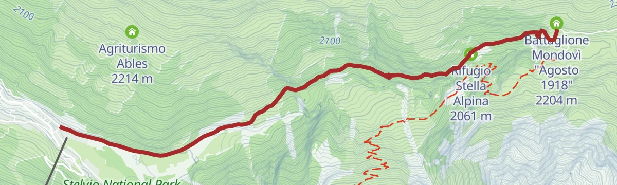
Open route Valtellina OutdoorBormio 360 Mountain Bike - Stage 9 - Confinale Trail
A mountain-bike traverse on the flank of Monte Confinale, from the Forni glacier hut past the Ables and Confinale huts high over Valfurva.
- 20.8 km
- Distance
- 504 m
- Ascent
- 2 h 29 min
- Duration
- 92
- Check-ins
- Rifugio Ghiacciaio dei Forni 2 178 m
- Battaglione Mondovì "Agosto 1918" 2 204 m
- Plaz 1 663 m
- Agriturismo Ables 2 214 m
Open route Valtellina OutdoorStelvio E-Bike Tour: Tra Chiese, Borghi e Storia tra Bormio & Valfurva
A short e-bike tour between Bormio and the Valfurva on cycle paths and quiet lanes, linking the medieval centre with village churches.
- 8.3 km
- Distance
- 191 m
- Ascent
- 55 min
- Duration
- 12
- Check-ins
Open route Valtellina OutdoorStelvio Epic Rides: Passo Gavia
The 25 km road climb from Bormio to the Passo Gavia, narrow and at times exposed, ending at 2,621 m above the alpine lakes.
- 25.8 km
- Distance
- 1 432 m
- Ascent
- 3 h 9 min
- Duration
- 94
- Check-ins
- Rifugio Arnaldo Berni 2 560 m
- Passo di Gavia 2 621 m
- Rifugio Bonetta 2 621 m
- La Tana 1 737 m
- Lago Bianco 2 611 m
- Alpe di Gavia 2 477 m
- +1
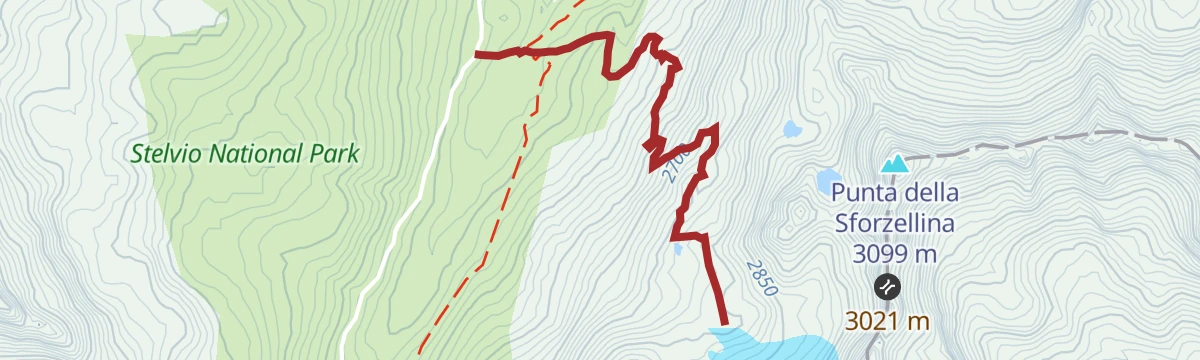
Open route Valtellina OutdoorEscursione al Ghiacciaio Sforzellina
A short climb from the Berni hut on the Gavia road to the snout of the Sforzellina glacier, at well over 2,500 m.
- 2.8 km
- Distance
- 306 m
- Ascent
- 1 h 18 min
- Duration
- 45
- Check-ins
Rifugio Pizzini
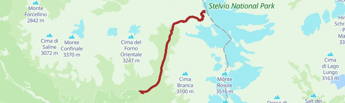
A track from the Forni up Val Cedec to the Pizzini hut, through pasture with the Forni glacier behind and the Gran Zebru ahead.
- 9.6 km
- Distance
- 520 m
- Ascent
- 3 h 43 min
- Duration
- 142
- Check-ins
- Rifugio Pizzini-Frattola 2 706 m
- Rifugio Ghiacciaio dei Forni 2 178 m
- Battaglione Mondovì "Agosto 1918" 2 204 m
Open route Valtellina OutdoorRifugio Casati
A high approach from the Forni past the Pizzini hut and the silted Cedec lake to the Casati refuge, between Monte Pasquale and the Zebru passes.
- 7.8 km
- Distance
- 1 074 m
- Ascent
- 4 h 16 min
- Duration
- 198
- Check-ins
- Rifugio Pizzini-Frattola 2 706 m
- Rifugio Ghiacciaio dei Forni 2 178 m
- Battaglione Mondovì "Agosto 1918" 2 204 m
- Langenfernerjoch - Passo del Cevedale 3 256 m
- Rifugio Gianni Casati 3 269 m
- Rifugio Invernale Alessandro Guasti 3 285 m
Open route Valtellina OutdoorBormio 360 Mountain Bike- Stage 10 - Maghet Trail
A gentle woodland trail below the Reit crest, past a deer feeding trough, through forest where local legend places mischievous mountain spirits.
- 8.3 km
- Distance
- 135 m
- Ascent
- 58 min
- Duration
- 8
- Check-ins
Open route Valtellina OutdoorThe Val di Rezzalo from Fontanaccia to Bormio by MTB
A crossing of Passo dell'Alpe in the Stelvio National Park, with a long descent to Santa Caterina Valfurva and the Frodolfo stream down to Bormio.
- 33.0 km
- Distance
- 1 185 m
- Ascent
- 4 h 8 min
- Duration
- 51
- Check-ins
- Rifugio Sci 2000 2 008 m
- La Tana 1 737 m
- Bait Da Mighel 1 278 m
- Rifugio La Baita 1 860 m
- Passo dell'Alpe 2 461 m
Open route Valtellina OutdoorAlpine Gravel: Val di Rezzalo
A gravel crossing of the Rezzalo valley from Bormio, climbing past stone huts and larch woods to Passo dell'Alpe at 2,461 m.
- 55.5 km
- Distance
- 1 733 m
- Ascent
- 6 h 33 min
- Duration
- 56
- Check-ins
- Rifugio Sci 2000 2 008 m
- La Tana 1 737 m
- Bait Da Mighel 1 278 m
- Rifugio La Baita 1 860 m
- Passo dell'Alpe 2 461 m
- Agriturismo Rini 1 180 m
- +2
Open route Valtellina OutdoorSentiero naturalistico del ghiacciaio della Sforzellina
An old military road from the Berni hut to the former snout of the Sforzellina glacier, then scree to a viewpoint, with panels on geology and glacier monitoring.
- 2.0 km
- Distance
- 245 m
- Ascent
- 1 h 2 min
- Duration
- 45
- Check-ins
Open route Valtellina OutdoorRifugio Pizzini with joëlette
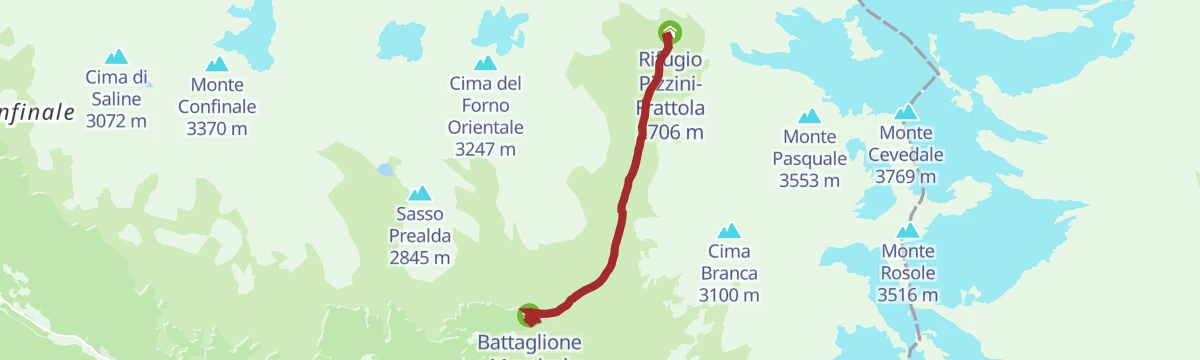
The track from the Forni up Val Cedec to the Pizzini hut at 2,706 m, even enough throughout to be taken with a joëlette wheelchair.
- 9.4 km
- Distance
- 530 m
- Ascent
- 3 h 45 min
- Duration
- 142
- Check-ins
- Rifugio Pizzini-Frattola 2 706 m
- Rifugio Ghiacciaio dei Forni 2 178 m
- Battaglione Mondovì "Agosto 1918" 2 204 m
Open route Valtellina OutdoorSentiero Italia D37N - Stage Rifugio Branca-Passo di Gavia
A Sentiero Italia stage from the Branca hut past Malga Salettina and over Dosso Tresero, then south up the valley to the Gavia pass.
- 17.6 km
- Distance
- 848 m
- Ascent
- 6 h 7 min
- Duration
- 195
- Check-ins
- Dosso Tresero 2 359 m
- Rifugio Ghiacciaio dei Forni 2 178 m
- Branca Hut 2 493 m
- Battaglione Mondovì "Agosto 1918" 2 204 m
- Passo di Gavia 2 621 m
- Rifugio Bonetta 2 621 m
- +2
Open route Valtellina OutdoorBormio 360 Mountain Bike - Stage 7 - Rhododendron Trail
An almost unbroken climb from Fontanaccia up the Val di Rezzalo, on forest trail and old military hairpins to Passo dell'Alpe at 2,461 m.
- 12.8 km
- Distance
- 958 m
- Ascent
- 1 h 49 min
- Duration
- 24
- Check-ins
Open route Valtellina OutdoorStelvio E-Bike Tour: Ciclabile Valfurva - Ponte Tre Croci - Pedemontana
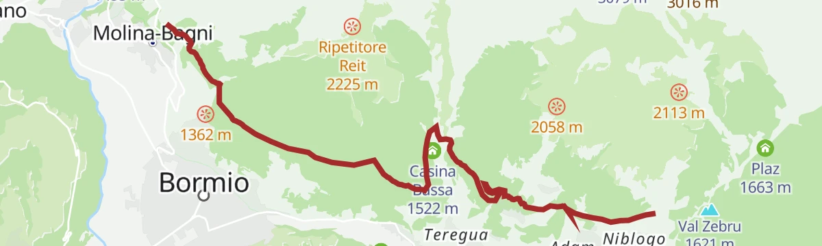
An e-bike ride out of Bormio on the Valfurva cycle path to Ponte Tre Croci, returning along the traverse below Monte Reit.
- 19.2 km
- Distance
- 646 m
- Ascent
- 2 h 19 min
- Duration
- 32
- Check-ins
- Val Zebru 1 621 m
- Bait Da Mighel 1 278 m
- Zeta 1 209 m
- Mangiatoia dei cervi 1 537 m
- Casina Bassa 1 522 m
- Info point 1 199 m
Open route Valtellina OutdoorStelvio Natural Trail: Dos Bolon
A trail through larch forest and rhododendron at Dos Bolon, technical at the start and finishing on tight hairpins.
- 5.1 km
- Distance
- 55 m
- Ascent
- 1 h 51 min
- Duration
- 45
- Check-ins
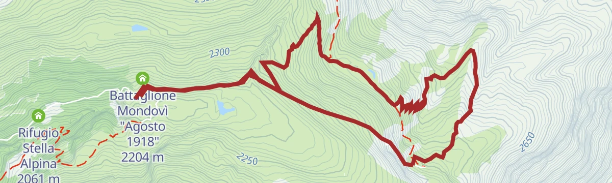
Open route Valtellina OutdoorTrench trail from Malga dei Forni and Valle delle Rosole
A circuit from the Forni hut over the Malga dei Forni pastures into the Valle delle Rosole, along trenches held on the Great War front.
- 8.7 km
- Distance
- 503 m
- Ascent
- 3 h 32 min
- Duration
- 132
- Check-ins
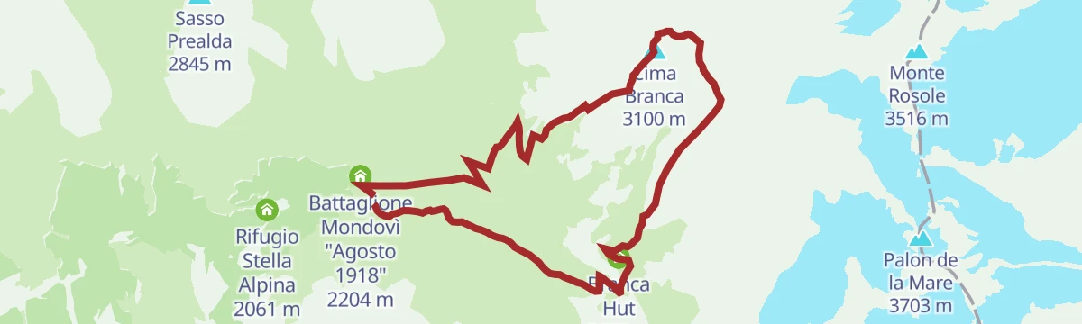
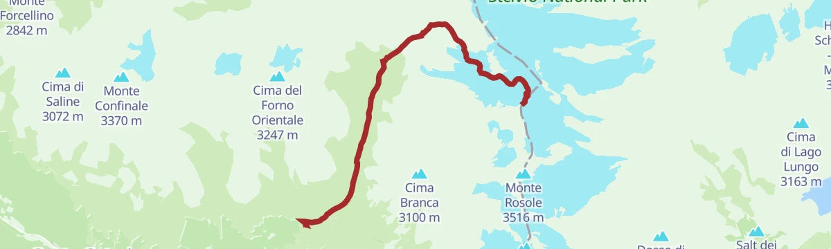
Open route Valtellina OutdoorCima Branca Ring and Vallone delle Rosole
A round of Cima Branca from Malga dei Forni on the military mule track, dropping back through the Vallone delle Rosole.
- 11.5 km
- Distance
- 966 m
- Ascent
- 6 h 9 min
- Duration
- 182
- Check-ins
- Cima Branca 3 100 m
- Rifugio Ghiacciaio dei Forni 2 178 m
- Branca Hut 2 493 m
- Battaglione Mondovì "Agosto 1918" 2 204 m
- Lago delle Rosole 2 450 m
- Presa Forni 2 166 m
Open route Valtellina OutdoorRezzalo Valley by MTB from the Alpe Bridge
A forest-road climb off the SP29 Gavia road to Passo dell'Alpe at 2,461 m, then a long descent to Rifugio La Baita.
- 18.9 km
- Distance
- 180 m
- Ascent
- 2 h 19 min
- Duration
- 12
- Check-ins
Open route Valtellina OutdoorStelvio E-Bike Tour: Bormio Pedemontana della Reit
An e-bike loop from Bormio onto the traverse below Monte Reit, with long gentle stretches through larch wood high above the basin.
- 26.2 km
- Distance
- 863 m
- Ascent
- 3 h 8 min
- Duration
- 28
- Check-ins
- Val Zebru 1 621 m
- Bait Da Mighel 1 278 m
- Mangiatoia dei cervi 1 537 m
- Casina Bassa 1 522 m
- Agriturismo Rini 1 180 m
- Info point 1 199 m
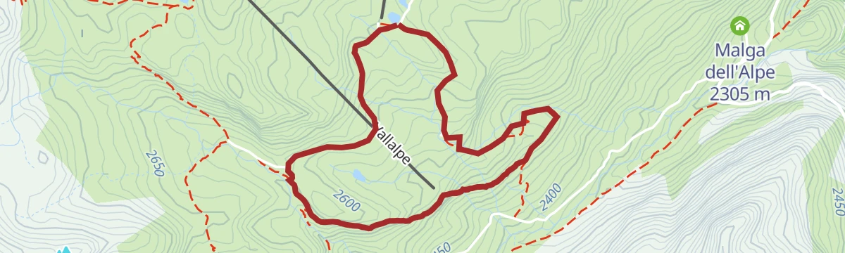
Open route Valtellina OutdoorSunny Valley Malga Dell'Alpe
A short descent from the Sunny Valley lift area to the Malga dell'Alpe above Santa Caterina Valfurva.
- 3.2 km
- Distance
- 0 m
- Ascent
- 1 h 4 min
- Duration
- 45
- Check-ins
Open route Valtellina OutdoorForni Trail
The valley road walk from Santa Caterina past the Miravalle huts up to the Forni hut, with its glacier straight ahead.
- 5.5 km
- Distance
- 442 m
- Ascent
- 2 h 1 min
- Duration
- 129
- Check-ins
- Rifugio Ghiacciaio dei Forni 2 178 m
- Battaglione Mondovì "Agosto 1918" 2 204 m
- Rifugio Stella Alpina 2 061 m
- La Fonte 1 732 m
- Proloco Valfurva 1 734 m
Open route Valtellina OutdoorSentiero Italia D36N - Stage Rifugio Campo - Rifugio Branca
A Sentiero Italia stage up the Val Zebru from the Campo hut past the Baita del Pastore, with the Quinto Alpini refuge on its rock spur, to the Branca hut.
- 17.0 km
- Distance
- 1 437 m
- Ascent
- 8 h 14 min
- Duration
- 169
- Check-ins
- Rifugio Pizzini-Frattola 2 706 m
- Branca Hut 2 493 m
- Rifugio Campo 1 996 m
- Rifugio Quinto Alpini 2 877 m
- Passo Zebrù 3 005 m
- Rifugio Campo 2 007 m
Open route Valtellina OutdoorBike Adventure 2
A gravel ride from the Rasin bike village through Le Motte and the Bormio baths, then along the flat foothill dirt road with the whole basin in view.
- 30.9 km
- Distance
- 1 044 m
- Ascent
- 3 h 47 min
- Duration
- 8
- Check-ins
- Mangiatoia dei cervi 1 537 m
- Casina Bassa 1 522 m
- Le Poce 1 594 m
- Baita Tea 1 534 m
- Baita Marta 1 568 m
Open route Valtellina OutdoorPlaghera
A ski-touring lap above Santa Caterina from the Plaghera mid station at 2,120 m, up open slope to the Baite di Plaghera and the Gavia road.
- 2.9 km
- Distance
- 231 m
- Ascent
- 1 h 16 min
- Duration
- 41
- Check-ins
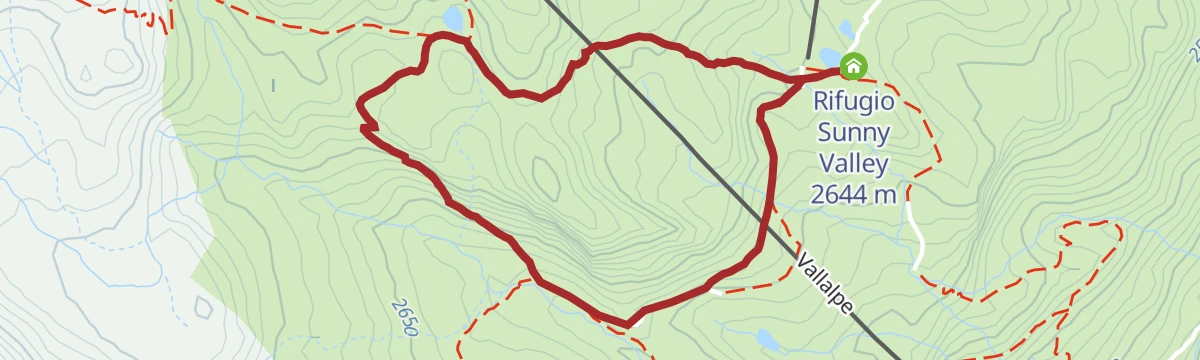
Open route Valtellina OutdoorStelvio Natural Trail: Sunny Valley Tour
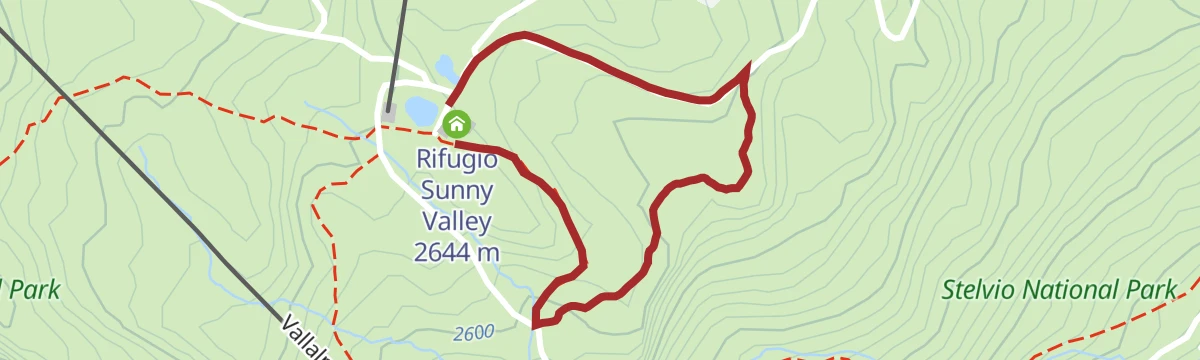
A long, almost level circuit of the Sunny Valley area high above Santa Caterina Valfurva in the Stelvio park.
- 12.0 km
- Distance
- 30 m
- Ascent
- 3 h 48 min
- Duration
- 101
- Check-ins
- Rifugio Sunny Valley 2 644 m
- Rifugio Sci 2000 2 008 m
- La Fonte 1 732 m
- Malga dell'Alpe 2 305 m
- Proloco Valfurva 1 734 m
- La Tana 1 737 m
Open route Valtellina OutdoorAl Cevedale con sosta al Rifugio Pizzini
An ascent of Monte Cevedale out of the Forni valley, with a break at the Pizzini hut before the glacier section above.
- 9.6 km
- Distance
- 1 614 m
- Ascent
- 6 h 9 min
- Duration
- 167
- Check-ins
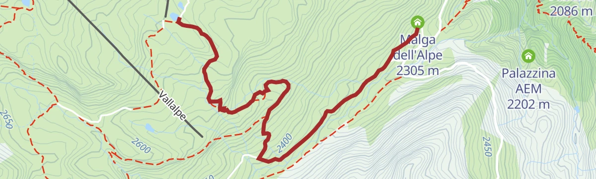
Sunny Valley Alpe pond
An easy family loop to the pond in the Valle dell'Alpe, reached from the Sunny Valley lift above Santa Caterina.
- 3.2 km
- Distance
- 140 m
- Ascent
- 1 h 5 min
- Duration
- 37
- Check-ins
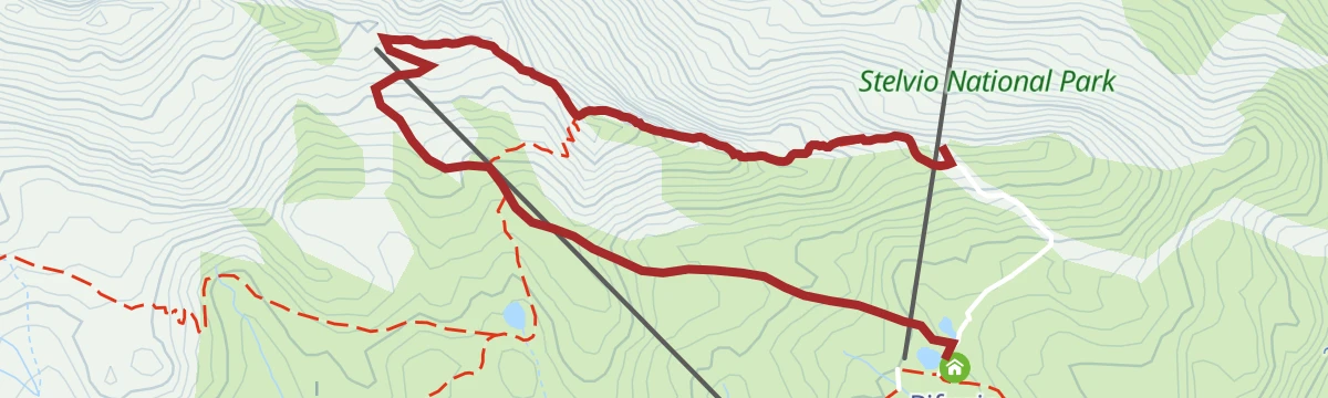
Open route Valtellina OutdoorLake Manzina
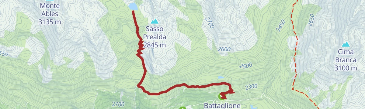
A climb from the Forni through one of the finest stone pine woods in the Stelvio park, then up the Valle della Manzina to the lake under Sasso Prealda.
- 4.7 km
- Distance
- 602 m
- Ascent
- 2 h 26 min
- Duration
- 98
- Check-ins
- Rifugio Ghiacciaio dei Forni 2 178 m
- Battaglione Mondovì "Agosto 1918" 2 204 m
- Lago della Manzina 2 785 m
Open route Valtellina OutdoorMount Cevedale
The ascent of Monte Cevedale from the Forni, mule track to the Pizzini hut then glacier ground under the Casati cable car to the summit.
- 9.4 km
- Distance
- 1 571 m
- Ascent
- 5 h 59 min
- Duration
- 167
- Check-ins
- Monte Cevedale 3 769 m
- Rifugio Pizzini-Frattola 2 706 m
- Rifugio Ghiacciaio dei Forni 2 178 m
- Battaglione Mondovì "Agosto 1918" 2 204 m
Open route Valtellina OutdoorStelvio Family Trek: Sunny Valley - Marmotte Trail
A short high-mountain walk in the Valle dell'Alpe, reached by gondola, through marmot pasture and small streams.
- 1.6 km
- Distance
- 50 m
- Ascent
- 30 min
- Duration
- 33
- Check-ins
Open route Valtellina OutdoorForni Refuge - Ables - S. Caterina Valfurva with joëlette
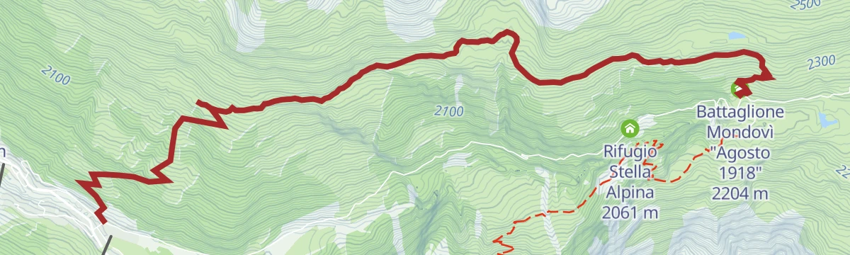
A joëlette-accessible descent from the Forni hut by the Baite dell'Ables to Santa Caterina; the access road up needs a permit or a jeep transfer.
- 8.6 km
- Distance
- 251 m
- Ascent
- 3 h 5 min
- Duration
- 95
- Check-ins
- Rifugio Ghiacciaio dei Forni 2 178 m
- Battaglione Mondovì "Agosto 1918" 2 204 m
- Proloco Valfurva 1 734 m
- Agriturismo Ables 2 214 m
Open route Valtellina OutdoorStelvio Historical Trek: Zebrù Pass from Forni
A long walk from the Forni to the Zebrù pass through the White War ground of the Stelvio park, past positions held on the high front.
- 13.5 km
- Distance
- 962 m
- Ascent
- 6 h 21 min
- Duration
- 157
- Check-ins
- Rifugio Pizzini-Frattola 2 706 m
- Rifugio Ghiacciaio dei Forni 2 178 m
- Battaglione Mondovì "Agosto 1918" 2 204 m
- Passo Zebrù 3 005 m
Open route Valtellina OutdoorSunny Valley - Edelweiss Cave
A walk into the Valfurva gorge to the Edelweiss cave, a shepherds' shelter whose walls carry hundreds of carved names and dates.
- 3.8 km
- Distance
- 211 m
- Ascent
- 1 h 30 min
- Duration
- 33
- Check-ins
Open route Valtellina OutdoorPanoramic from Forni Refuge to Santa Caterina with Joelette
A joelette-friendly panoramic route from the Forni hut back down to Santa Caterina, steep for the first stretch and then even going.
- 9.1 km
- Distance
- 226 m
- Ascent
- 3 h 6 min
- Duration
- 95
- Check-ins
- Rifugio Ghiacciaio dei Forni 2 178 m
- Battaglione Mondovì "Agosto 1918" 2 204 m
- Proloco Valfurva 1 734 m
- Agriturismo Ables 2 214 m
Open route Valtellina OutdoorZebru' Peak
A climb from the Pizzini hut west onto a high plateau, then up the steep slope beside the ridge to the Zebru summit.
- 6.7 km
- Distance
- 924 m
- Ascent
- 3 h 40 min
- Duration
- 157
- Check-ins
- Rifugio Pizzini-Frattola 2 706 m
- Rifugio Ghiacciaio dei Forni 2 178 m
- Battaglione Mondovì "Agosto 1918" 2 204 m
- Passo Zebrù 3 005 m
Open route Valtellina OutdoorSunny Valley Cresta Sobretta
A short route on the Sobretta ridge, reached from the Sunny Valley lift above Santa Caterina Valfurva.
- 3.1 km
- Distance
- 172 m
- Ascent
- 1 h 21 min
- Duration
- 33
- Check-ins
Open route Valtellina OutdoorOverview of S Caterina
A balcony traverse from the Forni through stone pine and pasture past the Raseit and Ables huts, looking down Valfurva and the Forni valley.
- 7.8 km
- Distance
- 200 m
- Ascent
- 2 h 45 min
- Duration
- 93
- Check-ins
- Rifugio Ghiacciaio dei Forni 2 178 m
- Battaglione Mondovì "Agosto 1918" 2 204 m
- Proloco Valfurva 1 734 m
Open route Valtellina Outdoor
No routes of this kind in Valfurva yet.
The region's own picks

Featured route
Rifugio Branca with joëlette
The path from the Forni car park to the Branca hut, wide enough for a joëlette wheelchair, facing the Forni glacier.
Planning a trip to Valfurva?
Everything else Lombardy has, in one place


Take Valfurva with you into the mountains
Every route on this page with 3D terrain, GPX navigation and offline maps — including the valleys with no signal.
Data sources
- Official website: bormio.eu ↗
- Routes and highlights: Valtellina Outdoor, Sterzing, Pfitsch und Freienfeld, in Lombardia, YesAlps
- Published as open data by the tourist boards named above.
- Region summary generated from the board's own material.
