
















Curated by Valtellina Outdoor
Valdidentro
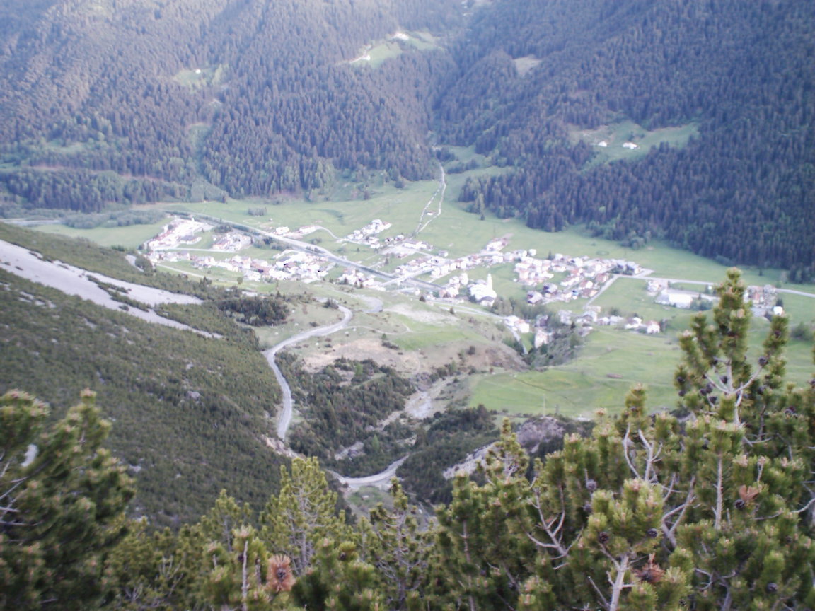
The Alta Valtellina comune of Isolaccia and Semogo, below the Foscagno pass and the Bormio slopes.
- 1Highlights
- 145Routes
- Featured summit · Cima de' Piazzi
Highlights
Rifugio Viola
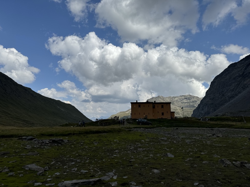
A refuge in the Val Viola above Arnoga, in the Alta Valtellina, a base for the Cima Viola and the pass over into the Val Poschiavo.
Nothing of this kind in Valdidentro.
Routes
50 routes, an even mix of activities · see the rest on bormio.eu ↗
Val Viola - Circular Alpe Dosde' Rifugio Caricc with Joëlette
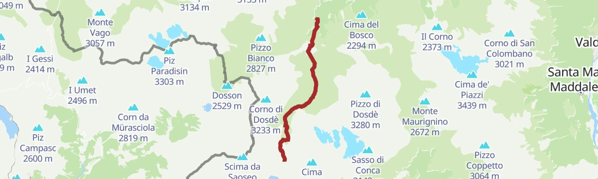
A circuit in the Val Viola from Altumeira by the Dosdè pasture, wide enough for a joëlette wheelchair.
- 5.3 km
- Distance
- 182 m
- Ascent
- 1 h 41 min
- Duration
- 41
- Check-ins
Open route Valtellina OutdoorProposta alternativa Short Run
A shorter running alternative on the trails around Valdidentro in the upper Valtellina.
- 15.0 km
- Distance
- 308 m
- Ascent
- 4 h 16 min
- Duration
- 99
- Check-ins
 Rifugio Federico Valgoi 2 133 m
- Baita Viola 1 883 m
- Baita Caricc 1 999 m
- Ristoro Baita Altumeira 2 118 m
- Baite Altumeira 2 131 m
- Baita Crapena 1 923 m
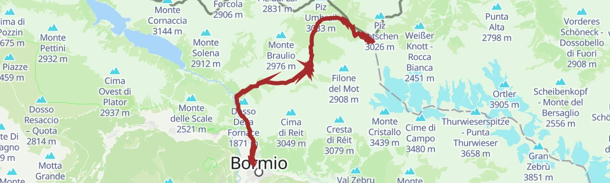
Open route Valtellina OutdoorVia Alpina Red Trail Stage R71 . Stilfser Joch Stelvio Pass - Arnoga
A long Via Alpina stage from the Stelvio Pass by the Rifugio Garibaldi and the Dreisprachenspitze, down a mule track to the Umbrail Pass and on through the park to Arnoga.
- 29.7 km
- Distance
- 504 m
- Ascent
- 9 h
- Duration
- 148
- Check-ins
 Piz da las Trais Linguas - Dreisprachenspitze - Cima Garibaldi 2 843 m
 Stelvio Pass 2 758 m
- Passo Torri di Fraele 1 941 m
- Ristoro Solena 1 961 m
- Rifugio Garibaldi - Dreisprachenspitze 2 845 m
- Pass Umbrail - Giogo di Santa Maria 2 501 m
- +5
Open route Valtellina OutdoorStelvio Natural Skimo Trail - Rasin - Val di Fochin
A marked ski tour from the multipurpose centre up through the Fogarola woods, then towards Monte Massuco and the refreshment stop at Conca Bianca.
- 5.6 km
- Distance
- 707 m
- Ascent
- 22 m
- Descent
- 2 h 13 min
- Duration
- 1
- Check-ins
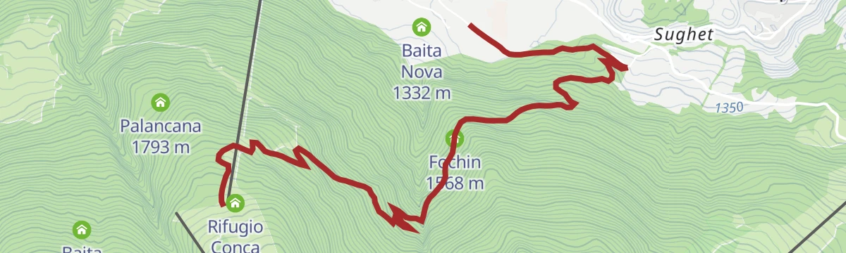
Open route Valtellina OutdoorMountain Bike: Conca Bianca - Fochin
An easy, almost entirely downhill run from a refuge at 1,987 m through the Valdidentro ski lifts to a hut at 1,568 m.
- 6.9 km
- Distance
- 10 m
- Ascent
- 51 min
- Duration
- 10
- Check-ins
Open route Valtellina OutdoorBormio 360 Mountain biking - Stage 1 - Water Trail
The first stage of the Bormio 360 bike loop, following the theme of water past the old thermal baths and the streams that powered the valley.
- 11.7 km
- Distance
- 789 m
- Ascent
- 1 h 38 min
- Duration
- 51
- Check-ins
- Passo Torri di Fraele 1 941 m
- Ristoro Solena 1 961 m
- Bagni Vecchi 1 440 m
- Villa Valania 1 931 m
- Bagni dell'Arciduchessa 1 453 m
- Caserma Boscopiano 1 546 m
Open route Valtellina OutdoorStelvio Pass Forcola Pedenolo
A high bike loop from the Stelvio pass over the Dreisprachenspitze, down to the Umbrail pass and along trail 145 to the Bocchetta di Forcola.
- 24.4 km
- Distance
- 563 m
- Ascent
- 3 h 8 min
- Duration
- 127
- Check-ins
- Piz da las Trais Linguas - Dreisprachenspitze - Cima Garibaldi 2 843 m
- Stelvio Pass 2 758 m
- Rifugio Garibaldi - Dreisprachenspitze 2 845 m
- Pass Umbrail - Giogo di Santa Maria 2 501 m
- Bocchetta di Forcola 2 768 m
- Berghaus Astras 2 498 m
- +6
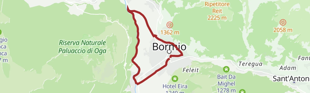
Open route Valtellina OutdoorCiclabile Frodolfo direzione Planecc
A flat cycle path from Bormio along the Frodolfo towards Planecc, surfaced and level for its whole length.
- 5.7 km
- Distance
- 87 m
- Ascent
- 35 min
- Duration
- 4
- Check-ins
Open route Valtellina OutdoorStelvio Epic Rides: Climb to Cancano
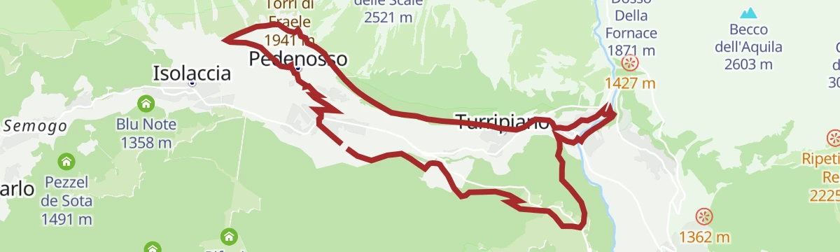
A road climb from Fiordalpe/Turripiano on a sequence of tight hairpins up to the Torri di Fraele at 1,941 m and the lakes behind them.
- 9.1 km
- Distance
- 631 m
- Ascent
- 1 h 11 min
- Duration
- 14
- Check-ins
Open route Valtellina OutdoorPasso dello Stelvio con salita dal versante svizzero Passo Umbrail
A very long road day out of Livigno, crossing Passo Eira, Foscagno and Pass dal Fuorn, then climbing from the Swiss side to the pass at 2,758 m.
- 112.0 km
- Distance
- 3 275 m
- Ascent
- 13 h 1 min
- Duration
- 344
- Check-ins
- Stelvio Pass 2 758 m
- Passo Eira 2 208 m
- Baita Viola 1 883 m
- Gatto Nero 2 213 m
- Pass dal Fuorn 2 150 m
- Foscagno Pass 2 291 m
- +30
Open route Valtellina OutdoorMalga and San Colombano Refreshment Point
From the lift top at Pian della Mota by path 284.1 through forest and past the Palancana lift, then route 208 out of the trees to the San Colombano hut.
- 3.4 km
- Distance
- 290 m
- Ascent
- 1 h 20 min
- Duration
- 19
- Check-ins
Open route Valtellina OutdoorDal Passo Eira ai Laghi di Cancano
A walk from the Passo d'Eira over towards the Cancano reservoirs, on the divide between Livigno and the Fraele valley.
- 10.5 km
- Distance
- 421 m
- Ascent
- 3 h 48 min
- Duration
- 73
- Check-ins
Open route Valtellina OutdoorSentiero Italia D33N - Stage Rifugio Federico in Dosdè - Livigno
A long stage out of the quiet Val Viola, by the Val Viola hut and its tarns, down past the lake and the pastures on the Torrente Minestra toward Livigno.
- 28.1 km
- Distance
- 1 133 m
- Ascent
- 9 h 38 min
- Duration
- 125
- Check-ins
- Rifugio Federico Valgoi 2 133 m
- Ristoro Baita Altumeira 2 118 m
- Rifugio Viola 2 314 m
- Agriturismo Alpe Mine 2 195 m
- La Tresenda 1 909 m
- Tea Borch 1 989 m
- +6
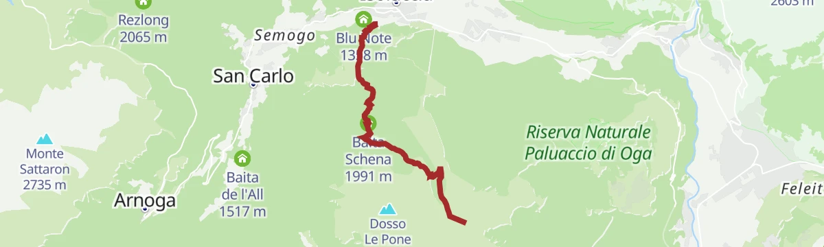
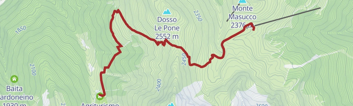
Open route Valtellina OutdoorMTB: San Colombano - Happy Tour (Live)
A short, nearly flat trail on the plateau above Valdisotto, linking the Monte Masucco lift stations with Baita Schena at just under 2,000 m.
- 6.0 km
- Distance
- 10 m
- Ascent
- 55 min
- Duration
- 3
- Check-ins
Open route Valtellina OutdoorBormio 360 Mountain Bike - Stage 2 - Decauville Trail
A flat, well-packed gravel stage running from the Torri di Fraele across to Arnoga and the Baita Viola, with no refreshment points on the way.
- 11.5 km
- Distance
- 30 m
- Ascent
- 1 h 4 min
- Duration
- 39
- Check-ins
Open route Valtellina Outdoor3 Gondole Tour
A long day linking the three Bormio gondolas, from Bormio 2000 round to the Sunny Valley hut in Valfurva.
- 78.1 km
- Distance
- 3 288 m
- Ascent
- 10 h 2 min
- Duration
- 115
- Check-ins
- Rifugio Sunny Valley 2 644 m
- Gallo Cedrone 1 956 m
- Proloco Valfurva 1 734 m
- Rifugio La Baita 1 860 m
- Rifugio Conca Bianca 1 987 m
- Hotel Eira 1 240 m
- +9
Open route Valtellina OutdoorHappy Ride
A climb from Zardin above Isolaccia past the Madonnina di Presendont to Ciuk, then a gentle traverse through Swiss stone pine woods to Ponte Felice.
- 8.2 km
- Distance
- 851 m
- Ascent
- 1 h 23 min
- Duration
- 13
- Check-ins
Open route Valtellina OutdoorLaghi di Cancano da Livigno
A long road ride from Livigno over Passo Eira and the Foscagno Pass, then up to Passo Torri di Fraele on the Valdidentro side.
- 82.8 km
- Distance
- 2 536 m
- Ascent
- 9 h 44 min
- Duration
- 187
- Check-ins
- Passo Eira 2 208 m
- Baita Viola 1 883 m
- Gatto Nero 2 213 m
- Foscagno Pass 2 291 m
- Monte delle Scale 1 953 m
- Passo Torri di Fraele 1 941 m
- +9
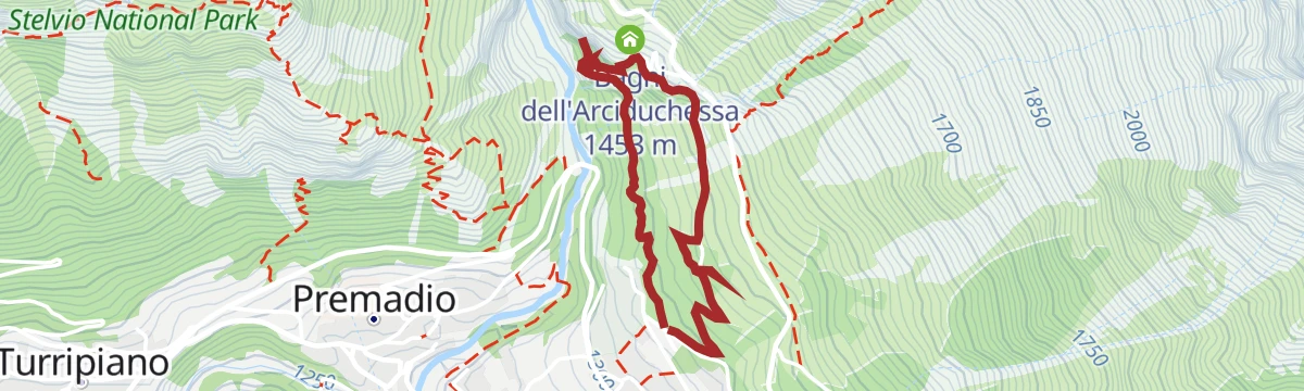
Open route Valtellina OutdoorThe Bagni di Bormio Park
A short walk from the Bagni Nuovi through pine and larch to the Castellanella, the first thermal bottling plant, the Cassiodora waterfall and the Pliniana spring in its grotto.
- 2.7 km
- Distance
- 160 m
- Ascent
- 1 h 7 min
- Duration
- 18
- Check-ins
- Bagni Vecchi 1 440 m
- Bagni dell'Arciduchessa 1 453 m
- La Pliniana di Bormio, Società Anonima 1 344 m
 Vasca S 1 378 m
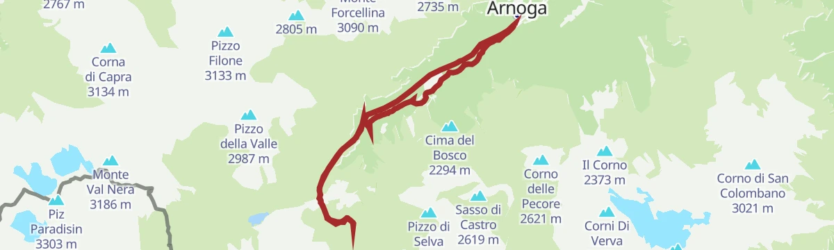
Open route Valtellina OutdoorDa Arnoga al Rifugio Federico
An almost level gravel road from the lower Arnoga car park through stone pine, spruce and larch, past Paluetta, to the Federico hut in Val Dosdè.
- 6.6 km
- Distance
- 457 m
- Ascent
- 2 h 33 min
- Duration
- 68
- Check-ins
Italy Trail D35N - Stage Monte alle Scale Refuge (Cancano) - Camp Refuge
From the Monte Scale inn over the Cancano dam wall to Alpe Solena and Malga di Boscopiano, then the Pedemontana della Reit path from Bagni Vecchi toward the Val Zebrù.
- 25.0 km
- Distance
- 1 020 m
- Ascent
- 8 h 20 min
- Duration
- 90
- Check-ins
- Rifugio Campo 1 996 m
- Ristoro Solena 1 961 m
- Bagni Vecchi 1 440 m
- Baita 1 946 m
- Baita Zebrù di Dentro 1 871 m
- Plaz 1 663 m
- +4
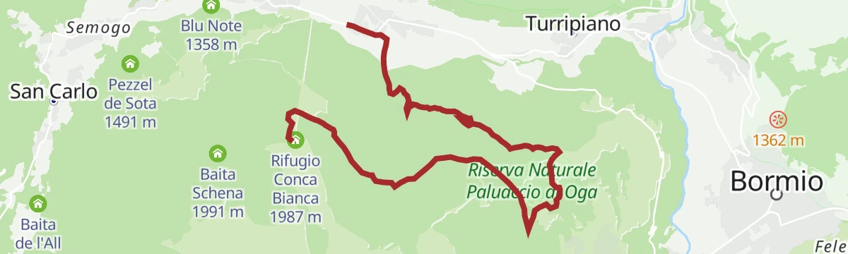
Open route Valtellina OutdoorPian della Mota - Fort of Oga - Rasin
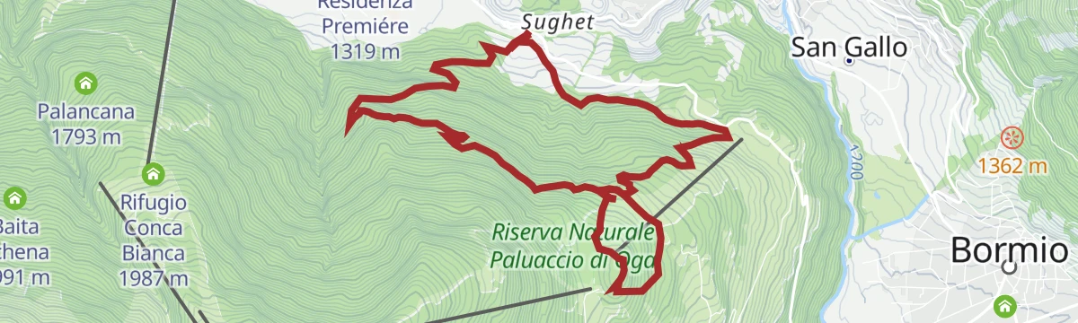
A mostly downhill forest route from below the Conca Bianca hut to the Oga fort, then past the Motin hut on a firebreak track to Rasin.
- 9.7 km
- Distance
- 150 m
- Ascent
- 1 h 14 min
- Duration
- 27
- Check-ins
- Rifugio Conca Bianca 1 987 m
- Hotel al Forte 1 709 m
- Presa d'aria 1 736 m
- Casermetta corpo di guardia 1 717 m
- Baita Motin 1 618 m
- Fochin 1 568 m
- +2
Open route Valtellina OutdoorBocchetta di Forcola
A shuttle-assisted high-alpine ride from Pass Umbrail on singletrack and old military roads, over the Bocchetta di Pedenolo and back through Val Mora.
- 46.0 km
- Distance
- 867 m
- Ascent
- 5 h 17 min
- Duration
- 63
- Check-ins
San Gallo Cycle Path
An easy family run from Bormio along the Adda to the church of San Gallo, coming back on the meadow path downstream.
- 7.3 km
- Distance
- 80 m
- Ascent
- 43 min
- Duration
- 4
- Check-ins
Open route Valtellina OutdoorStelvio Epic Rides: Passo dello Stelvio
The road climb from Bormio to the Stelvio Pass, forty numbered hairpins at a steady gradient up to 2,758 m inside the national park.
- 20.9 km
- Distance
- 1 561 m
- Ascent
- 2 h 47 min
- Duration
- 124
- Check-ins
- Stelvio Pass 2 758 m
- Bagni Vecchi 1 440 m
- Albergo ristorante Quarta Cantoniera 2 487 m
- Nazionalpark 2 050 m
- Bocca del Braulio 2 302 m
- Albergo Folgore 2 731 m
- +3
Open route Valtellina OutdoorAlpe Boron
An easy walk on natural surface from the rest stop at San Colombano past its chapel and the San Carlo springs to Alpe Boron, with viewpoints at Prei.
- 5.5 km
- Distance
- 275 m
- Ascent
- 2 h 22 min
- Duration
- 17
- Check-ins
- Agriturismo Alpe Boron 2 051 m
- Agriturismo Malga San Colombano 2 235 m
- Ristoro San Colombano 2 260 m
Open route Valtellina OutdoorVal Viola - Lago Viola
From Arnoga a flat road of about five kilometres to Altumeira, reachable by car with a ticket or by the summer shuttle, then an almost level trail to Lago Viola.
- 8.5 km
- Distance
- 436 m
- Ascent
- 2 h 40 min
- Duration
- 65
- Check-ins
Open route Valtellina OutdoorVal Viola - Val Dosdè
Path 290 from Arnoga on tarmac to the Altumeira car park, reachable by car with a ticket in summer, then a mule track that opens out on the valley toward Val Dosdè.
- 15.2 km
- Distance
- 379 m
- Ascent
- 4 h 30 min
- Duration
- 83
- Check-ins
- Rifugio Federico Valgoi 2 133 m
- Baita Viola 1 883 m
- Ristoro Baita Altumeira 2 118 m
- Baite Altumeira 2 131 m
- Baita Crapena 1 923 m
Open route Valtellina OutdoorAnello MTB: Fochin - Motin - Forte
A loop on forest roads above Valdidentro, running between huts at around 1,600 m and the old fortifications and guardhouse at Le Motte.
- 10.6 km
- Distance
- 566 m
- Ascent
- 1 h 32 min
- Duration
- 13
- Check-ins
- Presa d'aria 1 736 m
- Casermetta corpo di guardia 1 717 m
- Baita Motin 1 618 m
- Fochin 1 568 m
- Alloggi Casermetta 1 709 m
Open route Valtellina OutdoorBocchetta di Forcola – Bocchetta di Pedenolo – Val Mora: singletrail guarantee and traces of the 1st World War
A descent-heavy singletrack ride from the Pass Umbrail, crossing two saddles above 2,700 m with First World War remains before the drop to Val Fraele.
- 46.0 km
- Distance
- 867 m
- Ascent
- 5 h 17 min
- Duration
- 63
- Check-ins
- Rifugio Val Fraele 1 954 m
- Ristoro Solena 1 961 m
- Passo di Fraele 1 952 m
- Pass Umbrail - Giogo di Santa Maria 2 501 m
- Bocchetta di Forcola 2 768 m
- Malga Pedenolo 2 381 m
- +4
Open route Engadin Samnaun Val MüstairLe Motte - Sasso Prada
A ride from the ski stadium along the old cycle path towards Bormio, then up a forest road across the pistes and back over the Viola and the Adda.
- 14.0 km
- Distance
- 581 m
- Ascent
- 1 h 47 min
- Duration
- 3
- Check-ins
Open route Valtellina OutdoorBormio Gravel Bike - Boscopiano e Cancano
A gravel loop from Bormio climbing through the Boscopiano woods to the Torri di Fraele and the Cancano lakes, returning by the Bagni Vecchi.
- 46.0 km
- Distance
- 1 146 m
- Ascent
- 5 h 10 min
- Duration
- 115
- Check-ins
- Rifugio Val Fraele 1 954 m
- Monte delle Scale 1 953 m
- Passo Torri di Fraele 1 941 m
- Ristoro Solena 1 961 m
- Bagni Vecchi 1 440 m
- Rifugio San Giacomo 1 950 m
- +7
Open route Valtellina OutdoorBocciana Valley
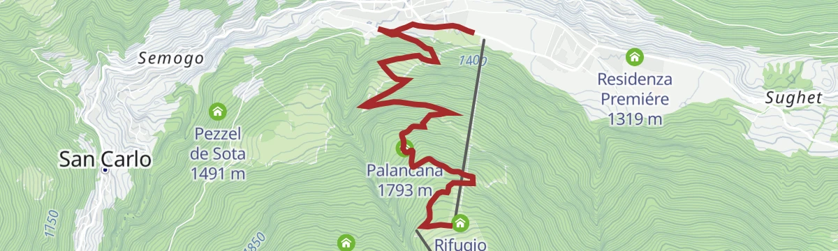
An almost level route down from Pian della Mota, top station of the Cima Piazzi cable car, through woods on road 284 to Isolaccia; also ridden, with a few rough steep pitches.
- 5.7 km
- Distance
- 0 m
- Ascent
- 1 h 56 min
- Duration
- 13
- Check-ins
Open route Valtellina OutdoorDosde Hut
A climb out of Val Viola from Altumeira, crossing the stream at Baita Caricci and zigzagging above its gorge to the hut on the Dosdè plain.
- 8.3 km
- Distance
- 821 m
- Ascent
- 3 h 41 min
- Duration
- 60
- Check-ins
- Rifugio Federico Valgoi 2 133 m
- Baita Caricc 1 999 m
- Passo Dosdè 2 828 m
- Capanna Dosdè 2 824 m
- Baita del Pastore 2 369 m
Open route Valtellina OutdoorPizzo Dosde'
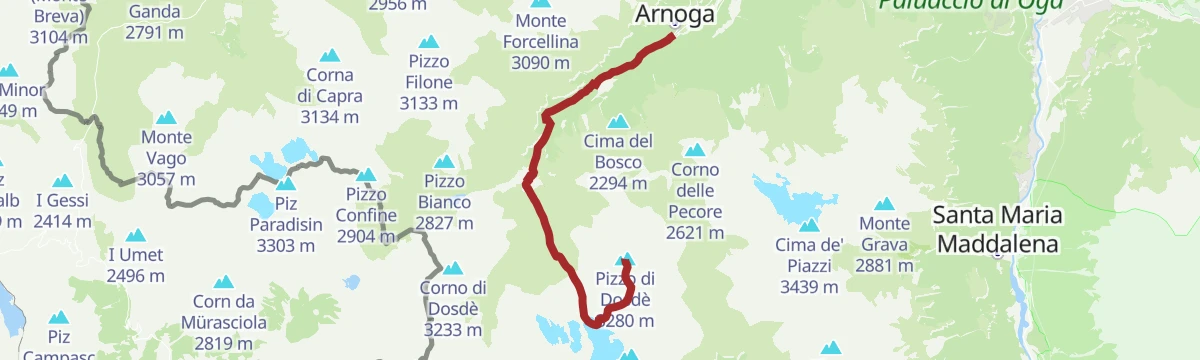
A long ascent from Arnoga up Val Viola, crossing the Dosdè plain past the Federico hut to the glacier basin below Pizzo di Dosdè.
- 12.4 km
- Distance
- 1 471 m
- Ascent
- 6 h 11 min
- Duration
- 73
- Check-ins
Open route Valtellina OutdoorBormio 360 Mountain Bike - Stage 3 - Trail of the Count
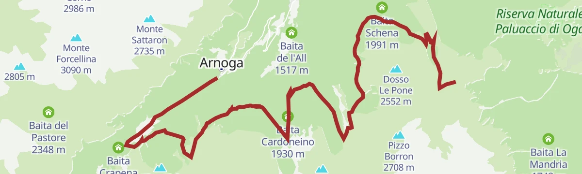
A climbing stage from the Baita Viola up through the forest once held by the Alberti counts, reaching the San Colombano huts above 2,200 m.
- 19.6 km
- Distance
- 888 m
- Ascent
- 2 h 27 min
- Duration
- 47
- Check-ins
- Baita Viola 1 883 m
- Agriturismo Alpe Boron 2 051 m
- Agriturismo Malga San Colombano 2 235 m
- Baita Verva Sotto 1 955 m
- Ristoro San Colombano 2 260 m
- Baita Cardoneino 1 930 m
Open route Valtellina OutdoorStelvio E-bike tour: Bormio - Boscopiano and Cancano
An e-bike version of the Cancano loop: the Boscopiano climb, the restored Fraele towers, and the reservoirs on the plateau above Bormio.
- 46.4 km
- Distance
- 1 173 m
- Ascent
- 5 h 13 min
- Duration
- 115
- Check-ins
- Rifugio Val Fraele 1 954 m
- Monte delle Scale 1 953 m
- Passo Torri di Fraele 1 941 m
- Ristoro Solena 1 961 m
- Bagni Vecchi 1 440 m
- Rifugio San Giacomo 1 950 m
- +7
Open route Valtellina OutdoorVal Pettini - Malga Trela with joelette
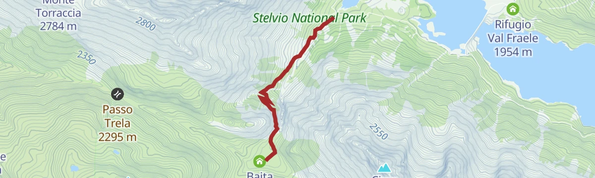
An easy dirt-road walk from the head of Lago di San Giacomo di Fraele up to the pastures of Alpe Trela, wide enough for a joelette.
- 5.3 km
- Distance
- 231 m
- Ascent
- 1 h 49 min
- Duration
- 12
- Check-ins
Open route Valtellina OutdoorGlaciological Path Dosdè Est
A glaciology trail from Altumeira to Alpe Dosdè and the Federico hut, ending on a plateau where moraines mark the retreat of the Dosdè Est glacier.
- 12.2 km
- Distance
- 595 m
- Ascent
- 4 h 22 min
- Duration
- 52
- Check-ins
Open route Valtellina OutdoorPoint of Avedo
An ascent to Punta d'Avedo from Arnoga, up Val Viola and across the Dosdè plain before the final slopes above the Federico hut.
- 11.4 km
- Distance
- 1 316 m
- Ascent
- 5 h 35 min
- Duration
- 73
- Check-ins
Open route Valtellina OutdoorMTB route: Cancano - Acqua del Gallo - Val Mora
A long dirt-road ride from San Giacomo di Fraele across into Switzerland, over the Fuorcla del Gal to the Jausenstation Alp Mora and Chasa da Cunfin.
- 25.4 km
- Distance
- 590 m
- Ascent
- 2 h 48 min
- Duration
- 12
- Check-ins
- Passo di Fraele 1 952 m
- Passo di Val Mora 1 930 m
- Chasa da Cunfin 2 289 m
- Jausenstation Alp Mora 2 087 m
- Fuorcla del Gal 2 278 m
Open route Valtellina OutdoorAlpine Gravel: Val di Campo
A very long gravel ride from Bormio on white roads, climbing past Baita Viola and the Baite Altumeira to the Rifugio Saoseo and Sfazù.
- 110.0 km
- Distance
- 2 125 m
- Ascent
- 11 h 46 min
- Duration
- 110
- Check-ins
- Baita Viola 1 883 m
- Ristoro Baita Altumeira 2 118 m
- Rifugio SAC Lungacqua Saoseo 1 985 m
- Sfazù 1 622 m
- Zarera 1 602 m
- Baite Altumeira 2 131 m
- +10
Open route Valtellina OutdoorVal Fochin
A nearly level woodland route from Pian della Mota along Val Fochin to Tres, facing the hairpins of the road up to the Fraele towers.
- 5.6 km
- Distance
- 10 m
- Ascent
- 1 h 57 min
- Duration
- 10
- Check-ins
Open route Valtellina OutdoorBormio 360 Trekking - Stage 1 - Water Path
Stage one of the Bormio 360 trek, from the Pravasivo car park past the Stelvio park lodge and the Adda gorge, with water the theme throughout.
- 12.0 km
- Distance
- 789 m
- Ascent
- 4 h 21 min
- Duration
- 51
- Check-ins
- Passo Torri di Fraele 1 941 m
- Ristoro Solena 1 961 m
- Bagni Vecchi 1 440 m
- Villa Valania 1 931 m
- Bagni dell'Arciduchessa 1 453 m
- Caserma Boscopiano 1 546 m
Open route Valtellina OutdoorVal Vezzola and Val Trela
A long circuit from Sant'Antonio over Alpe Gattonino into the high pastures of Val Vezzola below Monte Trela, then across to Alpe Trela.
- 23.8 km
- Distance
- 735 m
- Ascent
- 7 h 23 min
- Duration
- 73
- Check-ins
- Monte delle Scale 1 953 m
- Passo Torri di Fraele 1 941 m
- Baita di Trela 2 169 m
- Rifugio San Giacomo 1 950 m
- Lago delle Scale 1 928 m
- L'Esola 2 091 m
- +3
Open route Valtellina OutdoorBike Adventure 1
A long gravel and asphalt ride from Isolaccia past the Bagni Vecchi and up to Solena, the Torri di Fraele and the Cancano basin above Bormio.
- 43.5 km
- Distance
- 1 164 m
- Ascent
- 4 h 58 min
- Duration
- 97
- Check-ins
- Rifugio Val Fraele 1 954 m
- Passo Torri di Fraele 1 941 m
- Ristoro Solena 1 961 m
- Bagni Vecchi 1 440 m
- Rifugio San Giacomo 1 950 m
- Passo di Fraele 1 952 m
- +6
Open route Valtellina OutdoorStelvio Natural Skimo Trail - Conca Bianca - Cuna Alta
A short marked skimo ascent on the Conca Bianca slopes above Valdidentro, climbing to Cuna Alta on the San Colombano side.
- 1.9 km
- Distance
- 200 m
- Ascent
- 50 min
- Duration
- 9
- Check-ins
Open route Valtellina OutdoorCancano Lakes
A walk from the Foscagno pass around the Mont de la Roca, with Trepalle and the Livigno lake behind and Lago Nero and the Trela alp ahead.
- 9.0 km
- Distance
- 352 m
- Ascent
- 3 h 26 min
- Duration
- 49
- Check-ins
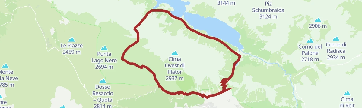
Open route Valtellina OutdoorGiro dei Laghi di Cancano
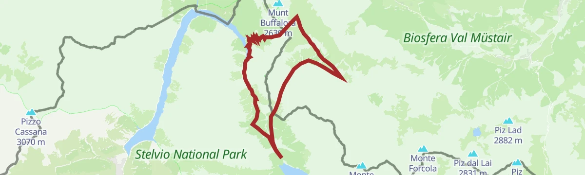
A long, near-level circuit of the two Fraele reservoirs on dirt roads high above Valdidentro, inside the Stelvio national park.
- 20.1 km
- Distance
- 124 m
- Ascent
- 4 h 60 min
- Duration
- 71
- Check-ins
- Rifugio Val Fraele 1 954 m
- Monte delle Scale 1 953 m
- Passo Torri di Fraele 1 941 m
- Rifugio San Giacomo 1 950 m
- Lago delle Scale 1 928 m
- Baita Prada 1 967 m
- +1
Open route Valtellina OutdoorAlpine Gravel: Val del Gallo
A long gravel ride from Bormio over the Torri di Fraele into the Val Mora and across to Pass dal Fuorn, in and out of Switzerland.
- 97.5 km
- Distance
- 2 349 m
- Ascent
- 10 h 52 min
- Duration
- 96
- Check-ins
- Rifugio Val Fraele 1 954 m
- Pass dal Fuorn 2 150 m
- Monte delle Scale 1 953 m
- Passo Torri di Fraele 1 941 m
- Passo di Fraele 1 952 m
- Hotel Süsom Givè 2 152 m
- +7
Open route Valtellina Outdoor
No routes of this kind in Valdidentro yet.
The region's own picks

Featured route
Val Viola - Circular Alpe Dosde' Rifugio Caricc with Joëlette
A circuit in the Val Viola from Altumeira by the Dosdè pasture, wide enough for a joëlette wheelchair.
Planning a trip to Valdidentro?
Everything else Lombardy has, in one place


Take Valdidentro with you into the mountains
Every route on this page with 3D terrain, GPX navigation and offline maps — including the valleys with no signal.
Data sources
- Official website: bormio.eu ↗
- Routes and highlights: Valtellina Outdoor, YesAlps, in Lombardia, Val Muestair, Engadin Samnaun Val Müstair
- Published as open data by the tourist boards named above.
- Region summary generated from the board's own material.
