


















Curated by Olang
Valdaora/Olang
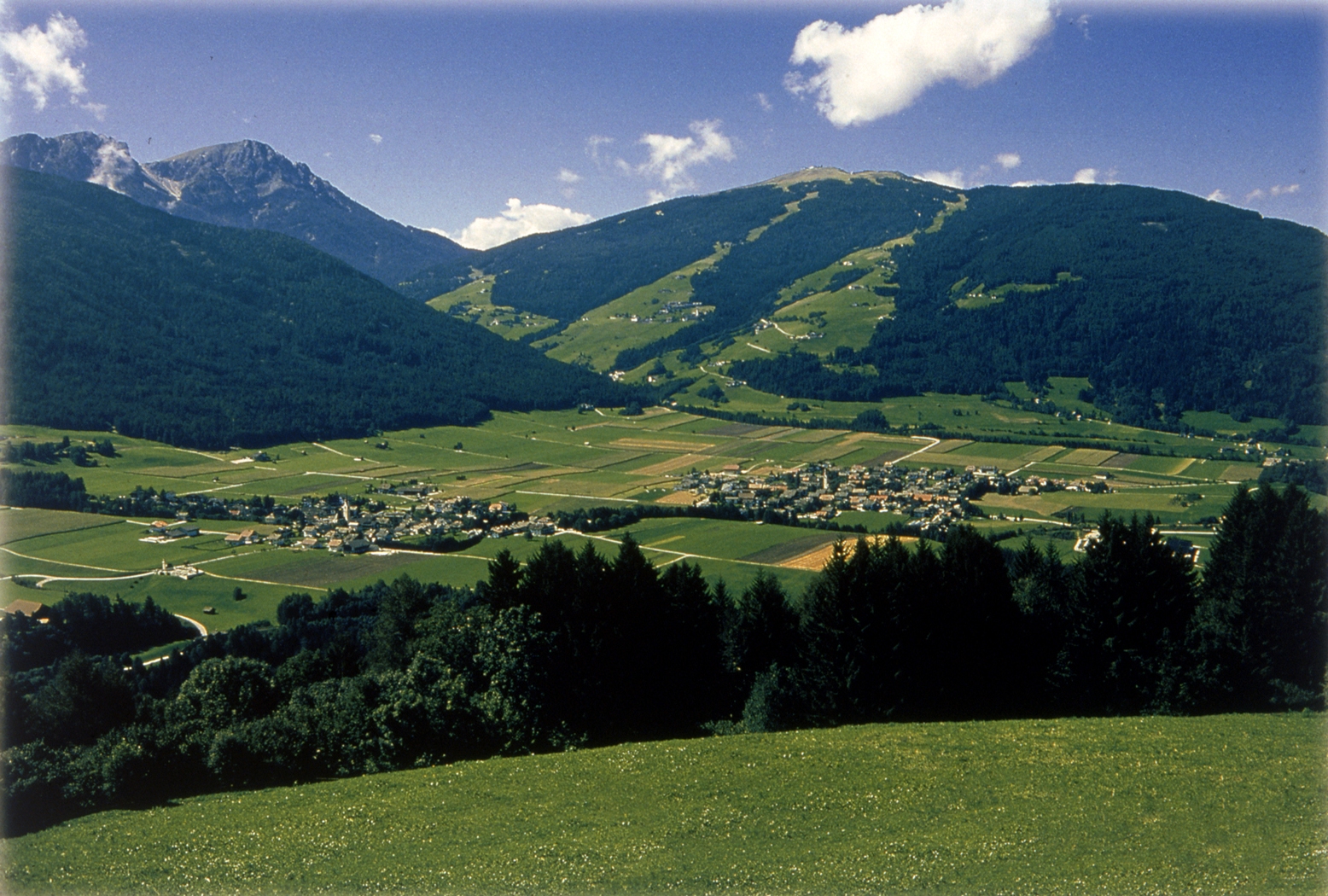
A Pusteria village at the foot of Plan de Corones, facing the Fanes-Sennes-Braies park across the Rienza.
Photo: TVOlang · CC BY 3.0 licence
- 15Highlights
- 96Routes
- Featured summit · Kronplatz
Highlights
All 15 from neighbouring places
Picio Pré Restaurant
4.1 km away, in Marebbe/Enneberg
A Slow Food mountain restaurant at 1,952 m in the Ladin comune of Marebbe, reached on the walk from the Furkelpass and open summer and winter.
Malga Val Foresta
6.6 km away, in Braies/Prags
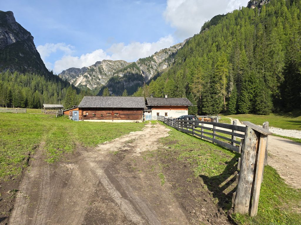
A pasture hut at 1,590 m above the western shore of Lago di Braies, reached on path 19 from the lake car park on a track gentle enough for pushchairs.
Sterzing, Pfitsch und FreienfeldMalga Hochraut 1.643m
7.9 km away, in Rasun-Anterselva/Rasen-Antholz
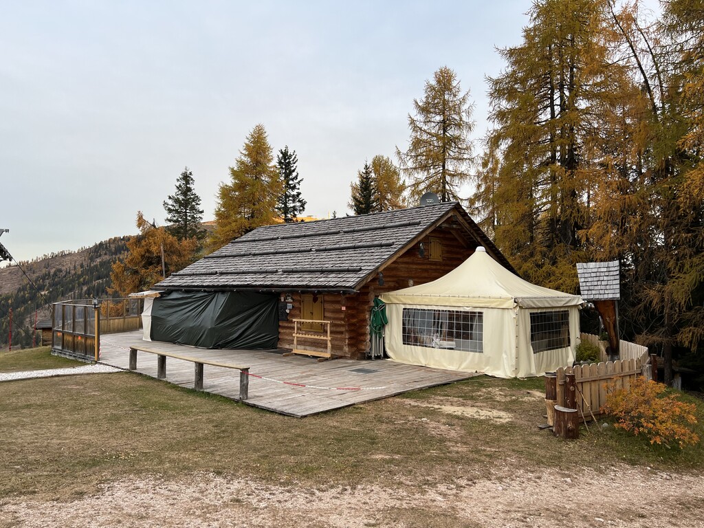
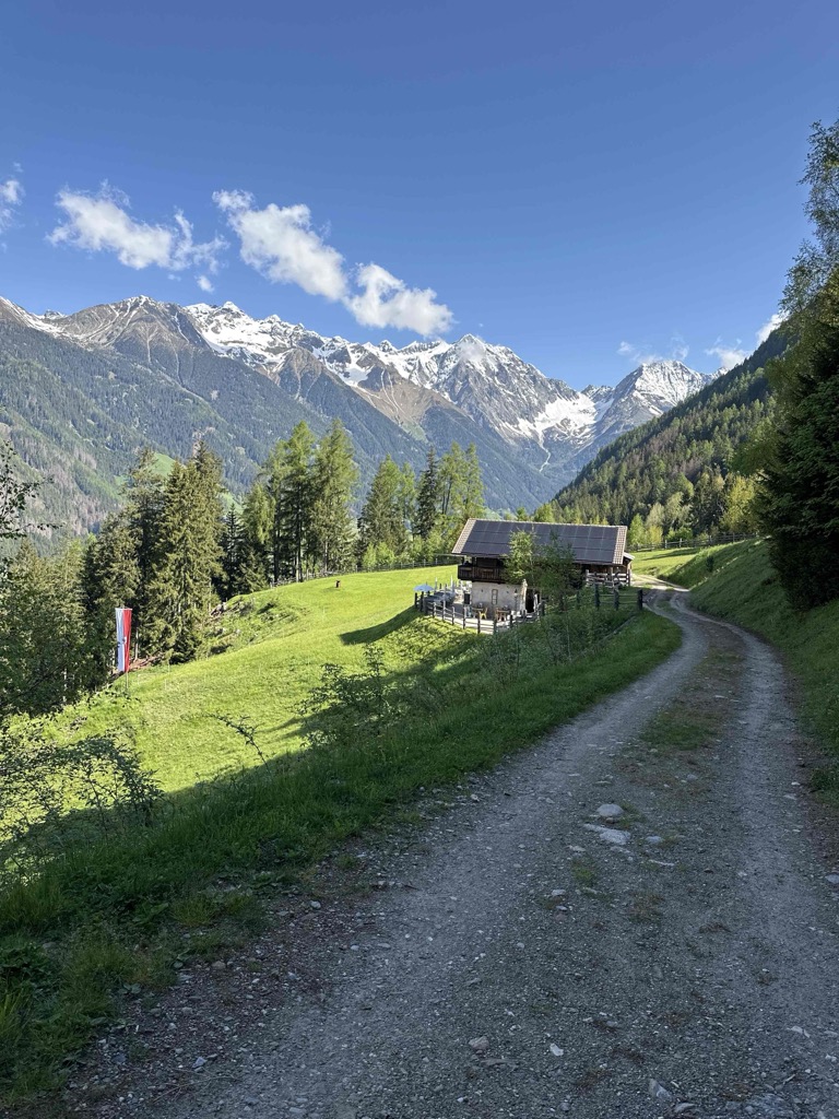
A pasture hut at 1,643 m above Rasun, reached by forest road from the valley, with the Vedrette di Ries to the north.
Hochrautalm 1643 m
7.9 km away, in Rasun-Anterselva/Rasen-Antholz
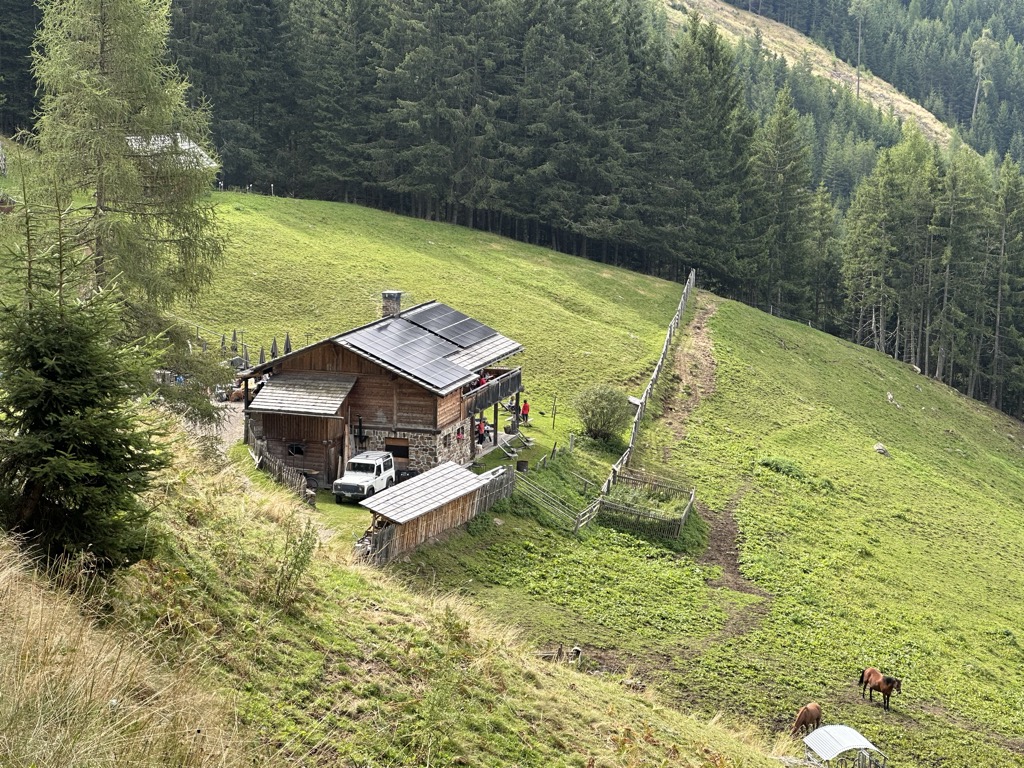
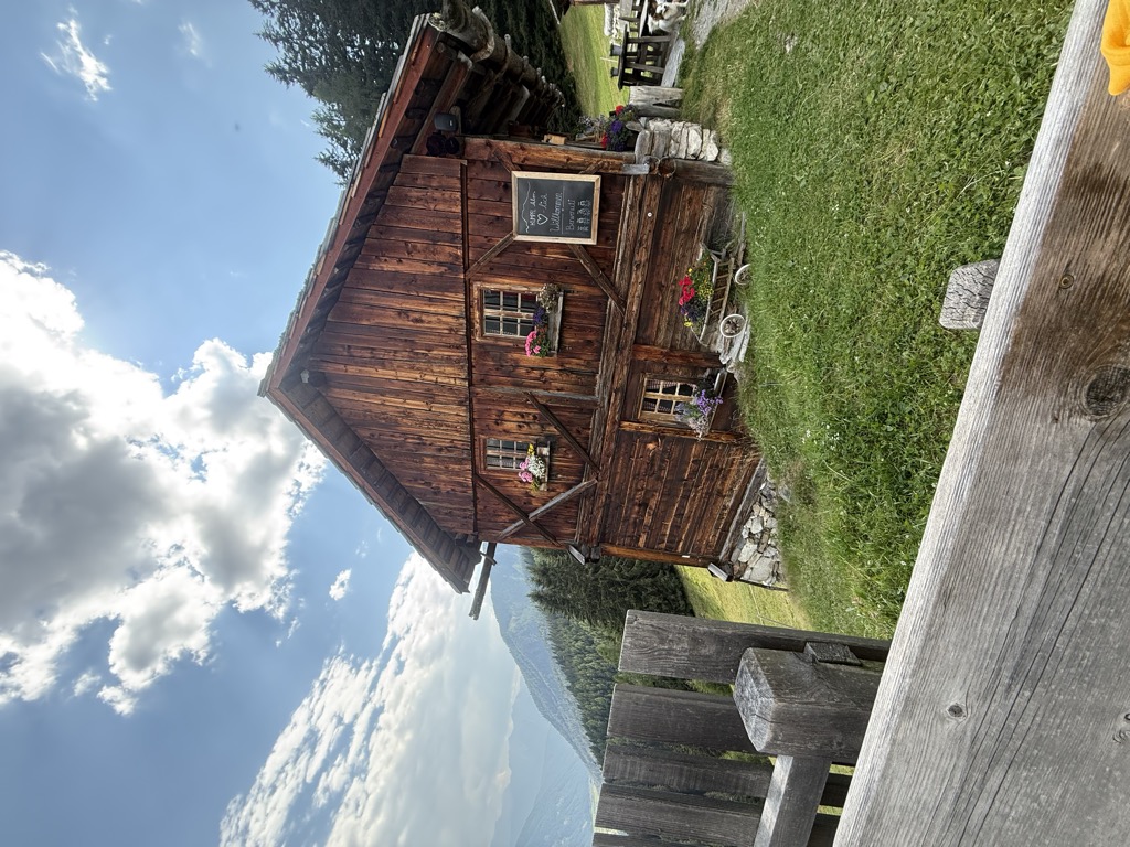
A dairy hut at 1,643 m on the pastures above Rasun, at the mouth of the Anterselva valley.
Sterzing, Pfitsch und FreienfeldRifugio Sennes
10.1 km away, in Marebbe/Enneberg
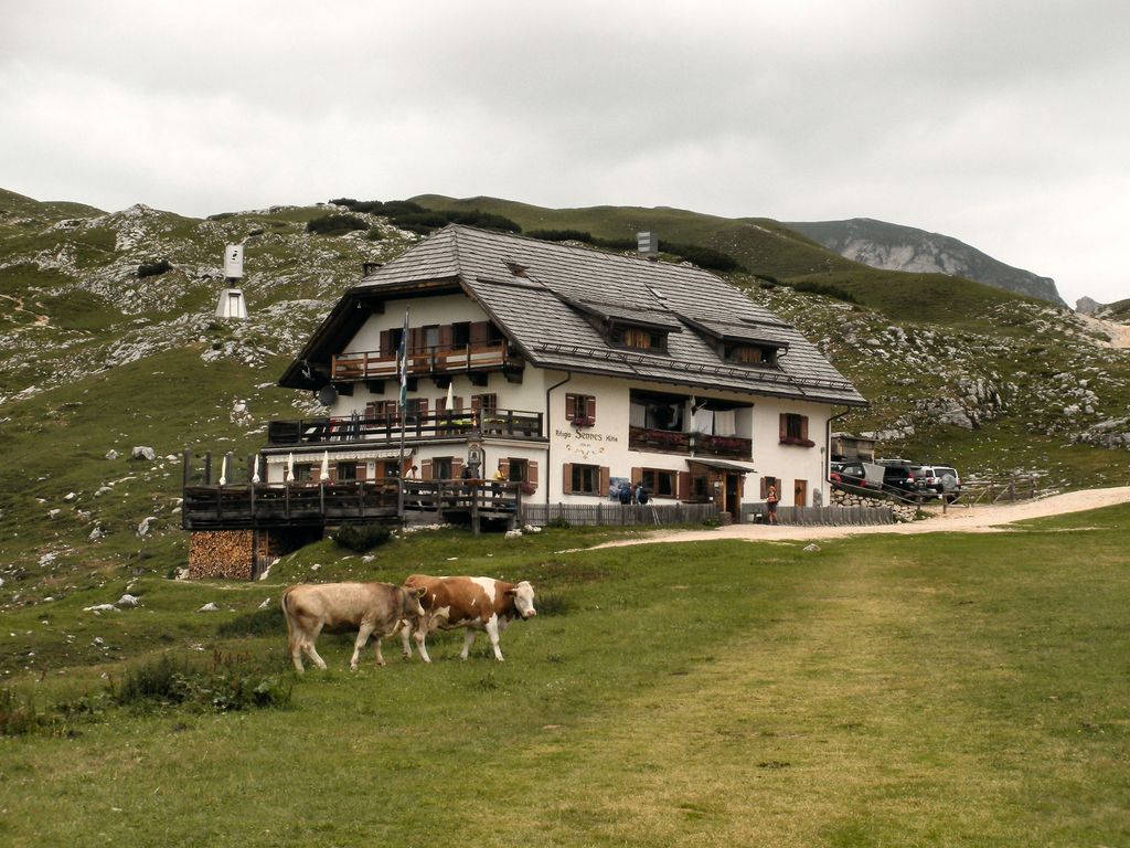
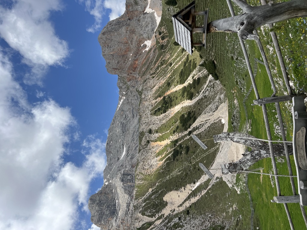
A hut at 2,126 m on the Sennes pastures in the Fanes-Sennes-Braies nature park above Marebbe, on the Alta Via delle Dolomiti n. 1.
Sterzing, Pfitsch und FreienfeldMalga Hofstatt 1.300m
11.3 km away, in Rasun-Anterselva/Rasen-Antholz
A dairy hut at 1,300 m in the woods above Rasun, a short walk from the road up the Anterselva valley.
Malga Rossalm
12 km away, in Braies/Prags
A recently built pasture hut at 2,164 m in the Braies Dolomites, reached on path 4 from the Ponticello car park or from Prato Piazza past Malga Stolla.
Malga Kumpfl
14.4 km away, in Rasun-Anterselva/Rasen-Antholz
A pasture hut above Rasun, on the walking paths between the Anterselva valley and the Plan de Corones side.
Il labirinto di Dlijia vedla
10.7 km away, in La Valle/Wengen
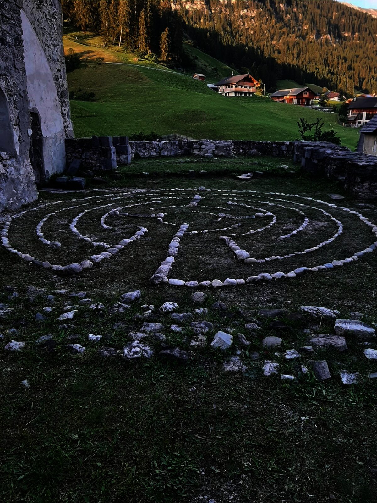
A turf maze laid out beside the old church at La Valle, in the Val Badia.
Vecchia chiesa parrocchiale La Val
10.7 km away, in La Valle/Wengen
The old parish church of La Valle, kept beside its replacement on the hill above the village.
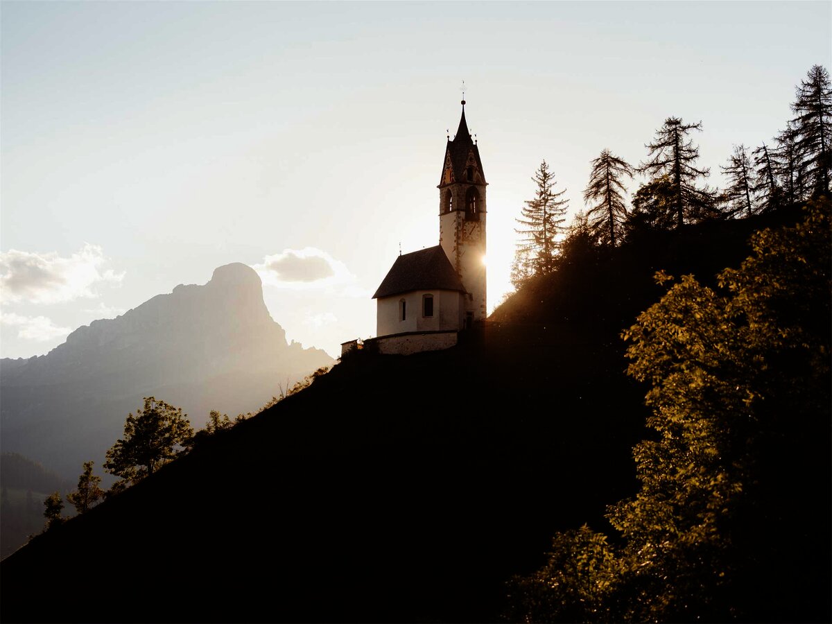
Chiesa di Santa Barbara
10.8 km away, in La Valle/Wengen
A chapel at La Valle in the Val Badia, below the Sasso della Croce.
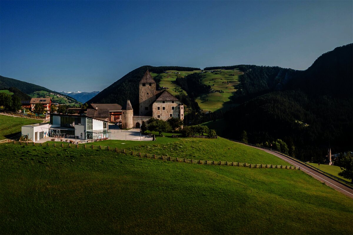
Museum Ladin Ciastel de Tor
11.2 km away, in San Martino in Badia/St. Martin in Thurn
A museum in the fourteenth-century Ciastel de Tor at San Martino in Badia, opened in 2001 on Ladin language, history and geology.
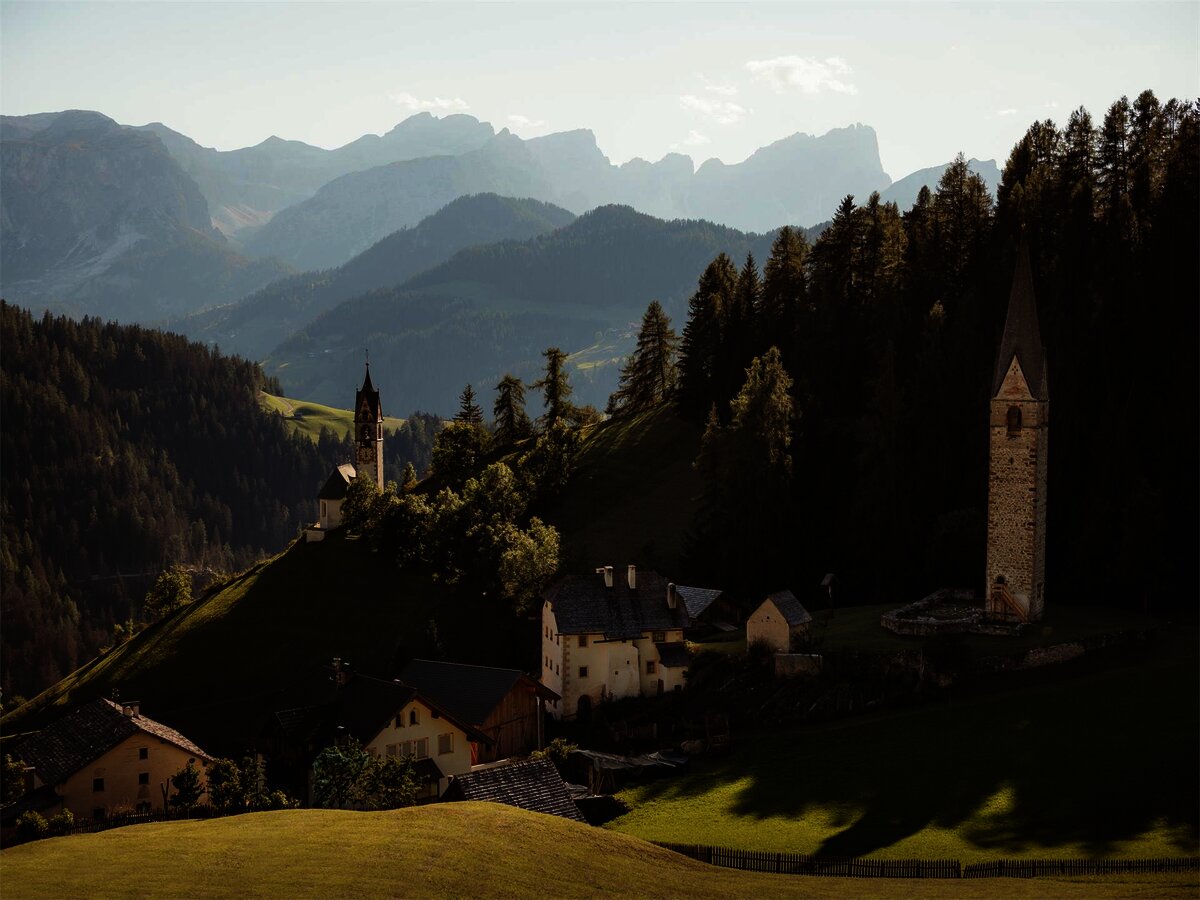
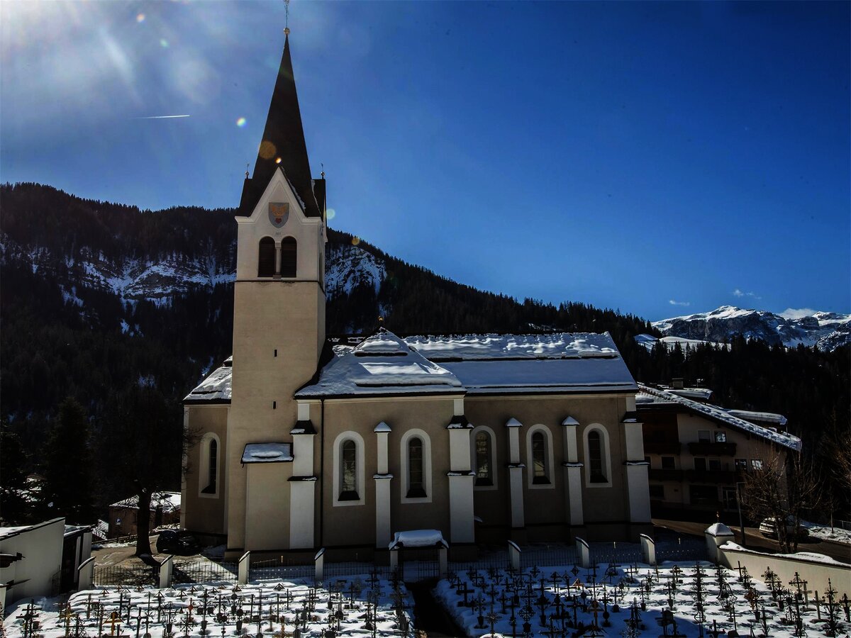
Chiesa parrocchiale La Val
11.3 km away, in La Valle/Wengen
The parish church of La Valle, on the sunny terrace above the Gader stream.
Albergo Kofler am Kofl
12.5 km away, in Falzes/Pfalzen
A mountain inn on a knoll above Falzes, looking down the Val Pusteria towards the Dolomites.
Sterzing, Pfitsch und FreienfeldMalga Putz
13.2 km away, in Villabassa/Niederdorf
A dairy hut on the pastures above Villabassa, in the upper Val Pusteria below the Dolomiti di Braies.
Sterzing, Pfitsch und Freienfeld
Nothing of this kind in Valdaora/Olang.
Routes
50 routes, an even mix of activities · see the rest on suedtirol.info ↗
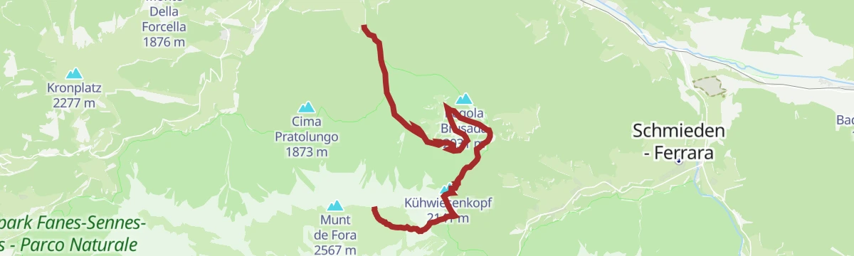
Via ferrata tour - Cima dei Colli Alti
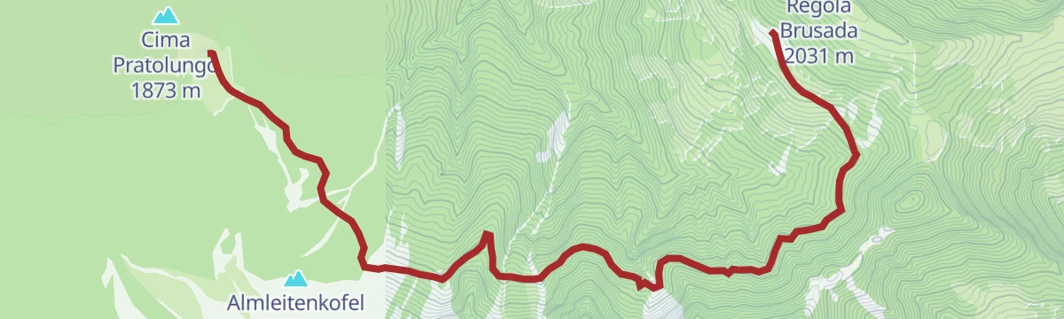
A long day in the Fanes-Sennes-Braies park, from above the Lipper sawmill by the Brunstalm to the Kühwiesenkopf, then a cabled section to the Kaserkopf.
- 12.4 km
- Distance
- 1 621 m
- Ascent
- 8 h 38 min
- Duration
- 26
- Check-ins
 Kühwiesenkopf 2 141 m
- Hochalpenkopf 2 539 m
 Brunstalm - Malga Brusada 1 898 m
- Käseralm 1 946 m
- Kaseralm 1 946 m
- ehemalige Sägemühle 1 148 m
- +2
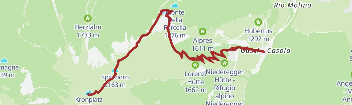
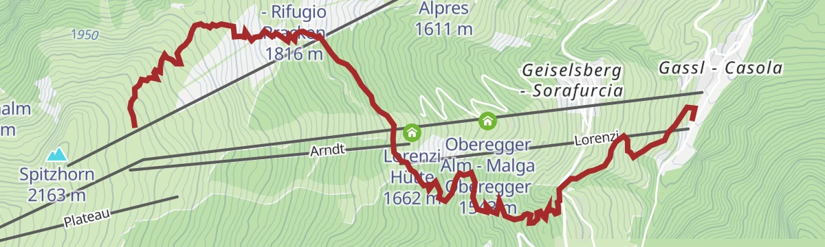
Open route Sterzing, Pfitsch und FreienfeldPlan de Corones > Malga Oberegger > Casola
A long descent from the summit of Plan de Corones by the Oberegger dairy to Casola, with views the whole way.
- 7.0 km
- Distance
- 0 m
- Ascent
- 2 h 54 min
- Duration
- 340
- Check-ins
- Kronplatz 2 277 m
- Spitzhorn 2 163 m
- Corones 2 274 m
- Treff Kronplatz 2 274 m
- Geiselsberger Hütte 2 102 m
- Oberegger Alm - Malga Oberegger 1 543 m
- +2
Open route Bruneck Kronplatz TourismusHiking Trail Via Artis
A circuit at 2,275 m on the Plan de Corones, hung with works by regional artists cut from timber felled by the Vaia storm and the snow loads of 2019.
- 7.1 km
- Distance
- 208 m
- Ascent
- 2 h 17 min
- Duration
- 407
- Check-ins
- Kronplatz 2 277 m
- Spitzhorn 2 163 m
- Corones 2 274 m
- Treff Kronplatz 2 274 m
- Rifugio CAI Plan de Corones - Kronplatzhütte CAI 2 232 m
- Geiselsberger Hütte 2 102 m
- +9
Open route Bruneck Kronplatz TourismusFrom Gassl to the Kronplatz
A climb from the Olang 1+2 base station on trail 3, past the Oberegger and Lorenzi huts, joining the Corones circuit to the Kronplatz top.
- 7.1 km
- Distance
- 1 112 m
- Ascent
- 4 h 18 min
- Duration
- 340
- Check-ins
- Kronplatz 2 277 m
- Spitzhorn 2 163 m
- Corones 2 274 m
- Treff Kronplatz 2 274 m
- Geiselsberger Hütte 2 102 m
- Oberegger Alm - Malga Oberegger 1 543 m
- +2
Open route OlangSkitour Piz da Peres
A ski ascent from the Furcia pass through thick forest, then over steep scree cirques and wide meadow slopes to the top of the Piz da Peres.
- 4.1 km
- Distance
- 771 m
- Ascent
- 32 m
- Descent
- 2 h 10 min
- Duration
- 72
- Check-ins
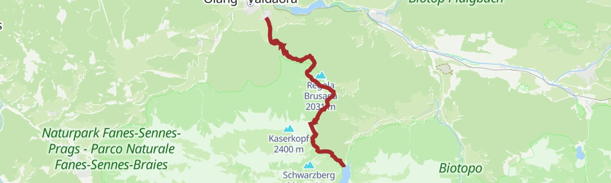
Open route OlangSci alpinismo sulla Cima Tre Dita
A ski ascent starting behind the Gasthof Bad Bergfall, up forest road 32 towards the Langtal and the branch that leads to the Cima Tre Dita.
- 5.0 km
- Distance
- 1 162 m
- Ascent
- 0 m
- Descent
- 3 h 6 min
- Duration
- 18
- Check-ins
Open route Sterzing, Pfitsch und FreienfeldDragon Trail
A two-kilometre flow trail winding down the Olang slope of Plan de Corones to the mid station.
- 2.0 km
- Distance
- 0 m
- Ascent
- 15 min
- Duration
- 171
- Check-ins
Open route Bruneck Kronplatz TourismusGiro Malga Angerer / Angerer Alm-Tour
A bike tour of moderate length through the woods south of Valdaora to the Angerer Alm, which looks across to the Anterselva valley.
- 10.2 km
- Distance
- 463 m
- Ascent
- 1 h 21 min
- Duration
- 14
- Check-ins
Open route OlangPanorama route
An easy family ride between Niederolang and Oberolang, leaving the Mühlbach road at the Mittermühlbacherhof for a track across meadows.
- 6.2 km
- Distance
- 161 m
- Ascent
- 41 min
- Duration
- 5
- Check-ins
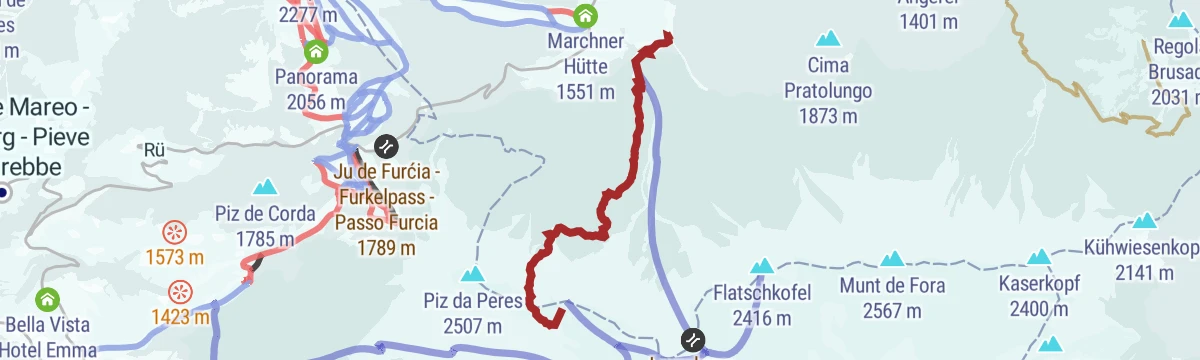
Open route OlangBike Tour to the Furkelpass
A climb from Niederrasen through Mühlbach and Gassl to the cable-car base, then up gravel and the paved Furkelstraße to the pass at 1,789 m.
- 14.2 km
- Distance
- 817 m
- Ascent
- 1 h 46 min
- Duration
- 31
- Check-ins
 Ju de Furćia - Furkelpass - Passo Furcia 1 789 m
- Marchner Hütte 1 551 m
- Mittermühlbacherhof 1 107 m
- Berggasthof Trattes 1 545 m
- Tourismusverein Rasen 1 041 m
Open route Tourismusgenossenschaft AntholzertalRoad bike tour to the Furcia Pass
A road loop from Badia over the Ju de Furćia into the Val Pusteria, on climbing roads the Giro d'Italia has used more than once.
- 85.2 km
- Distance
- 1 758 m
- Ascent
- 9 h 13 min
- Duration
- 131
- Check-ins
- Furcia Center 1 741 m
- Ju de Furćia - Furkelpass - Passo Furcia 1 789 m
- Cafe Preroman 1 107 m
- Posta 1 019 m
- Hubertus 1 292 m
- Marchner Hütte 1 551 m
- +9
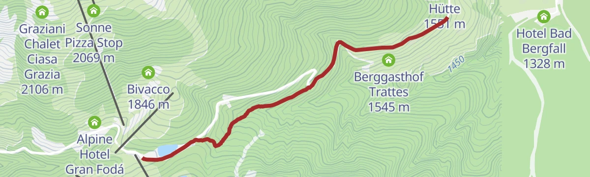
Open route Alta Badia Tourism CooperativeOberegger hut - Trattes
An easy walk from the Oberegger dairy at Geiselsberg down to Trattes on the Plan de Corones slopes.
- 2.3 km
- Distance
- 64 m
- Ascent
- 41 min
- Duration
- 35
- Check-ins
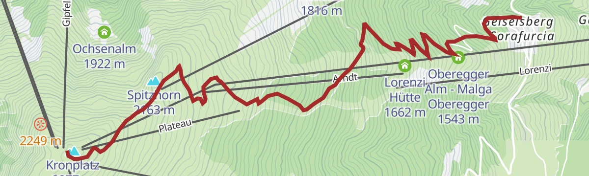
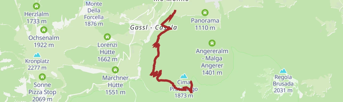
Open route OlangPlan de Corones > Pracken > Malga Oberegger > Casola
A descent from the Kronplatz summit on trails 3, 13 and 3 by Pracken and the Oberegger dairy to the Gassl station at Valdaora, through meadow and wood.
- 8.3 km
- Distance
- 0 m
- Ascent
- 3 h 3 min
- Duration
- 338
- Check-ins
- Kronplatz 2 277 m
- Spitzhorn 2 163 m
- Corones 2 274 m
- Treff Kronplatz 2 274 m
- Oberegger Alm - Malga Oberegger 1 543 m
- Gipfel Restaurant Cima 2 278 m
- +5
Open route Bruneck Kronplatz TourismusGeiselsberg - Kronplatz
A continuous climb from Geiselsberg on trail 3 to the Kronplatz plateau, where the MMM Corones and the LUMEN photography museum stand.
- 5.8 km
- Distance
- 910 m
- Ascent
- 3 h 31 min
- Duration
- 340
- Check-ins
- Kronplatz 2 277 m
- Spitzhorn 2 163 m
- Corones 2 274 m
- Treff Kronplatz 2 274 m
- Geiselsberger Hütte 2 102 m
- Oberegger Alm - Malga Oberegger 1 543 m
- +2
Open route OlangPercorso di scialpinismo Malga Brunst
A weekly-groomed winter track from the Mondo Bimbi at Valdaora di Sopra to the Brunstalm, shared with tobogganists on the way down.
- 5.0 km
- Distance
- 750 m
- Ascent
- 0 m
- Descent
- 2 h 13 min
- Duration
- 8
- Check-ins
Open route Sterzing, Pfitsch und FreienfeldSkitour Cima Tre Dita/Dreifingerspitze
A ski tour from behind the Gasthof Bad Bergfall on forest road 32 into the Langtal, following the right-hand branch of the gully to the Dreifingerspitze.
- 5.0 km
- Distance
- 1 158 m
- Ascent
- 0 m
- Descent
- 3 h 5 min
- Duration
- 18
- Check-ins
Open route OlangGassl Trail
The gentlest of the Kronplatz flow trails, dropping the east face from the Olang 1+2 mid-station to Gassl on easy jumps and low berms.
- 6.5 km
- Distance
- 0 m
- Ascent
- 55 min
- Duration
- 16
- Check-ins
Open route Bruneck Kronplatz TourismusMalga Lanzwiese-Climb / Lanzwiesen Alm-Climb
A steep bike climb up to the Lanzwiesen Alm, with the Dolomites in view from the dairy and the ridgeway variant available to extend it.
- 6.6 km
- Distance
- 709 m
- Ascent
- 1 h 8 min
- Duration
- 8
- Check-ins
Open route OlangPustertal|Val Pusteria Bike Route: Variation Gassl
A short alternative on the Val Pusteria cycle route, climbing gently from Valdaora di Sotto up to Valdaora di Sopra by way of Gassl.
- 4.8 km
- Distance
- 113 m
- Ascent
- 31 min
- Duration
- 3
- Check-ins
Open route Ski- und Wandergebiet KronplatzBike Tour to Niederolang and Mitterolang
An easy valley ride from Antholz Mittertal down the cycle path and through the underpass at the historic bridge to the two Olang villages.
- 12.3 km
- Distance
- 82 m
- Ascent
- 1 h 11 min
- Duration
- 18
- Check-ins
- Tourist Info Olang 1 046 m
 Fischteich 1 115 m
- Bad Salomonsbrunn 1 099 m
- Tourismusverein Rasen 1 041 m
Open route Tourismusgenossenschaft AntholzertalPustertal Valley Bike Route: Mühlbach - Innichen
The up-valley direction of the Puster valley cycle path, starting at Rio di Pusteria and gaining height gently as far as San Candido.
- 62.1 km
- Distance
- 340 m
- Ascent
- 5 h 59 min
- Duration
- 91
- Check-ins
- Baita 1 175 m
- Mühlbacher Torturm - Porta di Rio Pusteria 734 m
- Tourist Info Olang 1 046 m
- Mini Snack 745 m
- Treff Ried 927 m
- Touristik Information 764 m
- +10
Open route Gitschberg - JochtalVariante Quota Passo / Variante Passhöhe
A short link from the Furcia road up to the Passo Furcia, with the Trattes inn waiting at the top.
- 2.7 km
- Distance
- 206 m
- Ascent
- 60 min
- Duration
- 16
- Check-ins
- Ju de Furćia - Furkelpass - Passo Furcia 1 789 m
- Berggasthof Trattes 1 545 m
- Hotel Jú Furcia 1 747 m
Open route OlangMountain hike at the Piz da Peres
A climb from the reservoir at the Furcia pass on trails 12B and 12 to the 2,507 m Piz da Peres, with steep rock steps and a few exposed sections.
- 7.0 km
- Distance
- 794 m
- Ascent
- 4 h 46 min
- Duration
- 93
- Check-ins
- Piz da Peres 2 507 m
- Ücia Picio Pré 1 952 m
- Ju de Furćia - Furkelpass - Passo Furcia 1 789 m
- Dreifingerscharte 2 330 m
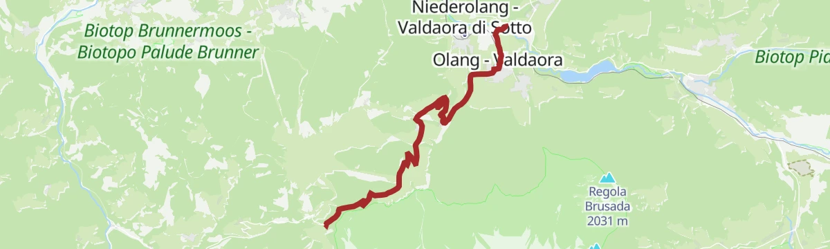
Open route OlangFrom Niederolang to the Kronplatz
A long climb from the middle of Niederolang on trail 2 past the reservoir to the Spitzhorn, then the Corones circuit to the Kronplatz summit.
- 19.9 km
- Distance
- 1 281 m
- Ascent
- 8 h 43 min
- Duration
- 290
- Check-ins
- Kronplatz 2 277 m
- Spitzhorn 2 163 m
- Corones 2 274 m
- Treff Kronplatz 2 274 m
- Gipfel Restaurant Cima 2 278 m
- Kron-Restaurant 2 270 m
- +1
Open route OlangSkitour Flatschkofel
A ski tour from Bad Bergfall on forest road 32, turning south into the Langtal and up the branching gully to the Flatschkofel.
- 6.6 km
- Distance
- 1 122 m
- Ascent
- 81 m
- Descent
- 3 h 14 min
- Duration
- 6
- Check-ins
Open route OlangGeiselsberg - Gassl - Mitterolang
A downhill walk on trail 3 from Geiselsberg past meadow and light wood to Gassl, then on to the centre of Mitterolang.
- 3.6 km
- Distance
- 0 m
- Ascent
- 26 min
- Duration
- 9
- Check-ins
Open route OlangFrom Valdaora to Anterselva di Sotto with the bike
A gently rising valley link from Olang towards Anterselva, passing the fishing pond and Bad Salomonsbrunn on the way north.
- 10.6 km
- Distance
- 113 m
- Ascent
- 1 h 2 min
- Duration
- 17
- Check-ins
- Tourist Info Olang 1 046 m
- Fischteich 1 115 m
- Bad Salomonsbrunn 1 099 m
Open route OlangPustertal Valley Bike Route
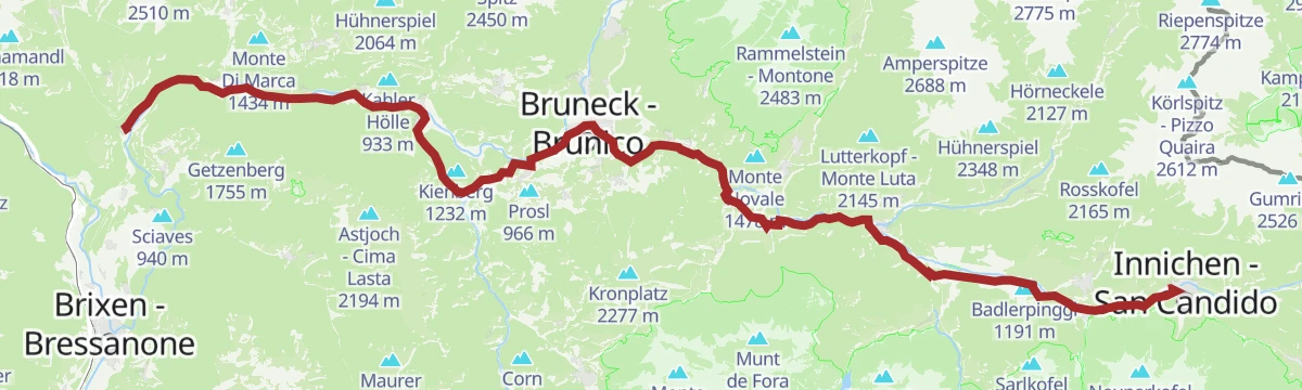
The full length of the Puster valley cycle path, from the gate tower at Rio di Pusteria through Brunico and Valdaora up to San Candido.
- 60.0 km
- Distance
- 266 m
- Ascent
- 5 h 43 min
- Duration
- 90
- Check-ins
- Baita 1 175 m
- Mühlbacher Torturm - Porta di Rio Pusteria 734 m
- Tourismusverein - Ufficio informazioni turistiche 790 m
- Tourist Info Olang 1 046 m
- Mini Snack 745 m
- Treff Ried 927 m
- +5
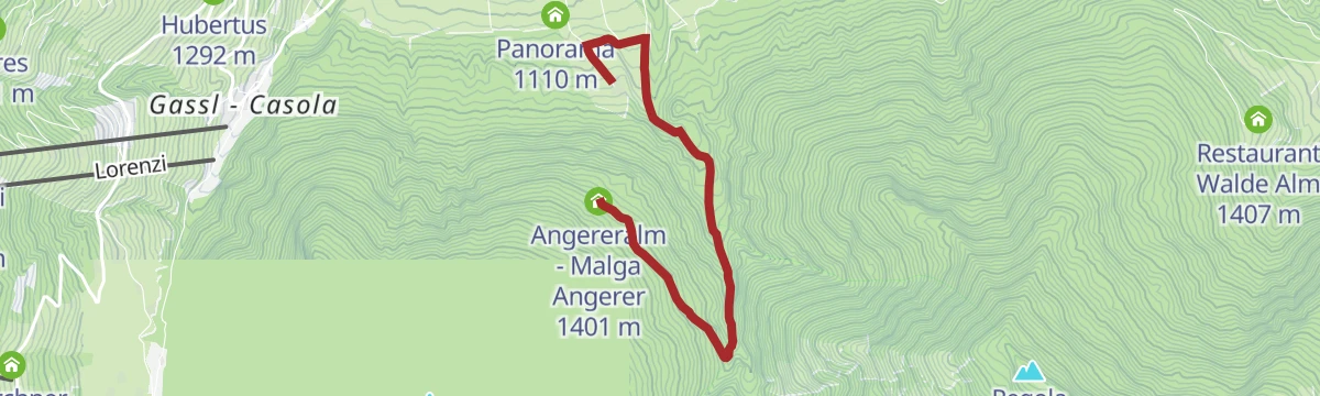
Open route KiensHike to the Angerer hut
A short family climb from Oberolang on trail 22 through forest to the Angerer Alm, about three quarters of an hour up.
- 2.0 km
- Distance
- 285 m
- Ascent
- 1 h 7 min
- Duration
- 14
- Check-ins
Open route OlangPasso Furcia/Furkelpass
A climb from the middle of Valdaora di Mezzo up to the Passo Furcia, the saddle carrying the road between the Puster valley and Badia.
- 12.0 km
- Distance
- 767 m
- Ascent
- 3 h 60 min
- Duration
- 51
- Check-ins
- Ju de Furćia - Furkelpass - Passo Furcia 1 789 m
- Hubertus 1 292 m
- Marchner Hütte 1 551 m
- Tourist Info Olang 1 046 m
- Mittermühlbacherhof 1 107 m
- Berggasthof Trattes 1 545 m
Open route OlangBad Bergfall - Kronplatz
A steady climb from Bad Bergfall on trail 4 through quiet forest to the summit plateau of the Kronplatz and its cluster of huts.
- 4.9 km
- Distance
- 952 m
- Ascent
- 3 h 32 min
- Duration
- 274
- Check-ins
- Kronplatz 2 277 m
- Corones 2 274 m
- Treff Kronplatz 2 274 m
- Gipfel Restaurant Cima 2 278 m
- Kron-Restaurant 2 270 m
- Hotel Bad Bergfall 1 328 m
Open route OlangMTB Skill Area
A compact practice area at Oberolang with switchbacks, two small berms, a rock garden and separate easy and hard downhill lines.
- 402 m
- Distance
- 10 m
- Ascent
- 3 min
- Duration
Open route OlangBike Tour to Brunst Alm hut
A steep climb from Niederrasen up through Oberolang and into the forest, gaining 900 m in 10 km to reach the Brunstalm at 1,898 m.
- 10.4 km
- Distance
- 887 m
- Ascent
- 1 h 32 min
- Duration
- 8
- Check-ins
Open route Tourismusgenossenschaft AntholzertalPustertal Valley bikeway
A paved valley route beside the Rienza through Brunico and on to San Candido, easily combined with the Puster valley railway.
- 62.0 km
- Distance
- 274 m
- Ascent
- 5 h 54 min
- Duration
- 90
- Check-ins
- Baita 1 175 m
- Mühlbacher Torturm - Porta di Rio Pusteria 734 m
- Tourist Info Olang 1 046 m
- Mini Snack 745 m
- Treff Ried 927 m
- Touristik Information 764 m
- +9
Open route OlangLanzwiesen hut- Brunst hut
An almost level walk on the Almsteig between the Lanzwiesen Alm and the Brunstalm, with a meal possible at either dairy.
- 6.2 km
- Distance
- 199 m
- Ascent
- 1 h 53 min
- Duration
- 14
- Check-ins
Open route OlangHike to the Lorenzi hut
A climb on path 3 from Gassl or Geiselsberg through meadow and forest to the Lorenzi hut on the Kronplatz slopes.
- 3.1 km
- Distance
- 508 m
- Ascent
- 1 h 57 min
- Duration
- 38
- Check-ins
Open route OlangHike Valdaora – Lago di Braies/Olang – Pragser Wildsee
A crossing from Valdaora di Sopra on route 20 by the Brunstalm to the Franz-Josef-Höhe, then down to the Pragser Wildsee; bus and train serve the return.
- 11.7 km
- Distance
- 1 074 m
- Ascent
- 5 h 56 min
- Duration
- 88
- Check-ins
- Kühwiesenkopf 2 141 m
- Emmas Bistro 1 499 m
- Hotel Pragser Wildsee - Hotel Lago di Braies 1 505 m
- Brunstalm - Malga Brusada 1 898 m
- ehemalige Sägemühle 1 148 m
- Kühwiesenhütte 1 947 m
Open route OlangBike Tour around Kronplatz
A circuit of the Kronplatz linking the Gader and Puster valleys, with the climb to the Ju de Furćia at 1,789 m as the high point.
- 48.8 km
- Distance
- 1 180 m
- Ascent
- 5 h 27 min
- Duration
- 72
- Check-ins
- Furcia Center 1 741 m
- Ju de Furćia - Furkelpass - Passo Furcia 1 789 m
- Marchner Hütte 1 551 m
- Gasthof Saalerwirt 983 m
- Alpine Hotel Gran Fodá 1 750 m
- Aparthotel Pichlerhof 953 m
- +5
Open route Tourismusgenossenschaft AntholzertalPanoramic Pleasure Loop
A wide, well-surfaced circuit to the Angerer Alm by the Böden rest area and the Brunstbach stream, with benches and room for a pushchair.
- 3.9 km
- Distance
- 290 m
- Ascent
- 1 h 28 min
- Duration
- 14
- Check-ins
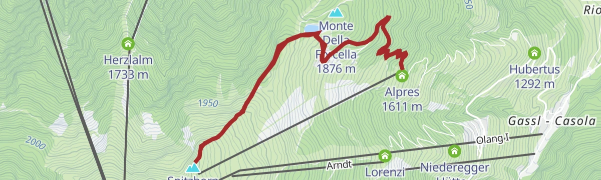
Open route OlangSpitzhorn
A climb from the Alpen Lift car park on trail 5 past the Olangerhof, then 5B and trail 2 by the reservoir to the top of the Spitzhorn.
- 8.6 km
- Distance
- 574 m
- Ascent
- 3 h 52 min
- Duration
- 35
- Check-ins
- Spitzhorn 2 163 m
- Prackenhütte - Rifugio Pracken 1 816 m
- Alpres 1 611 m
- Speichersee Pracken - Bacino Pracken 1 868 m
Open route OlangBad Bergfall - Dreifingerscharte - Piz da Peres
A climb on trail 32 from Bad Bergfall to the Dreifingerscharte notch, then a narrow ridge to Piz da Peres that needs a sure foot.
- 6.3 km
- Distance
- 1 261 m
- Ascent
- 4 h 48 min
- Duration
- 61
- Check-ins
Open route OlangBike Tour to the Pragser Wildsee Lake
A paved-and-gravel ride turning off between Welsberg and Niederdorf into the Prags valley, past Außerprags and Bad Neuprags to the lake at 1,505 m.
- 27.3 km
- Distance
- 543 m
- Ascent
- 2 h 48 min
- Duration
- 68
- Check-ins
- Hotel Edelweiss 1 169 m
- Hotel Pragser Wildsee - Hotel Lago di Braies 1 505 m
- Infranet POP Welsberg 1 117 m
- Hotel Erika 1 171 m
- Bad Neuprags 1 335 m
- Fischteich 1 115 m
- +3
Open route Tourismusgenossenschaft AntholzertalVia trail 6A to the Angerer hut
A climb from the Panorama area above Mitterolang on trail 6A, past the Riedler farms and up a narrowing path through shaded forest to the Angerer Alm.
- 1.5 km
- Distance
- 254 m
- Ascent
- 58 min
- Duration
- 14
- Check-ins
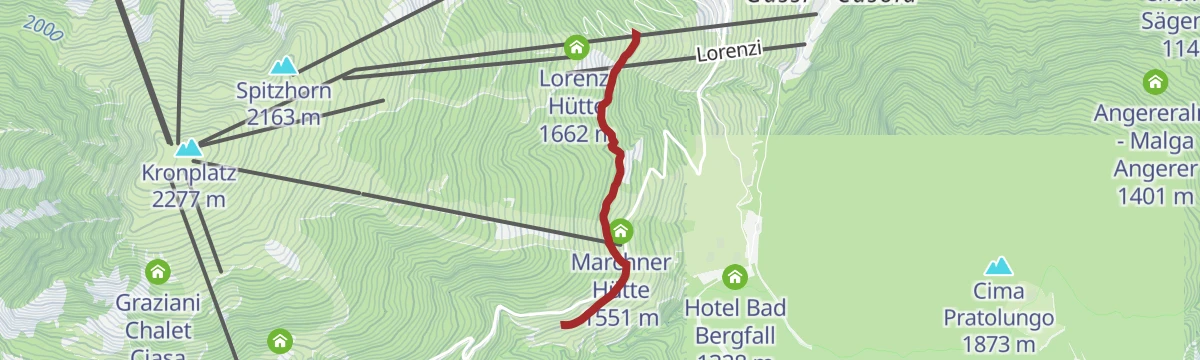
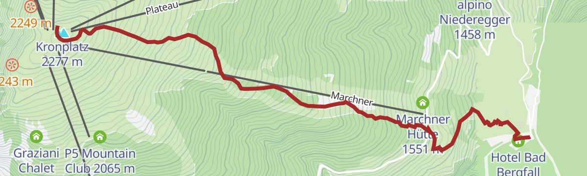
Open route OlangHike Bad Bergfall - Marchner - Furkelpass/Passo Furcia
A climb from Bad Bergfall on trail 4 across the Furcia road, then 13A along the Kronplatz slopes down to the pass between Pusteria and the Gadertal.
- 4.9 km
- Distance
- 578 m
- Ascent
- 2 h 40 min
- Duration
- 22
- Check-ins
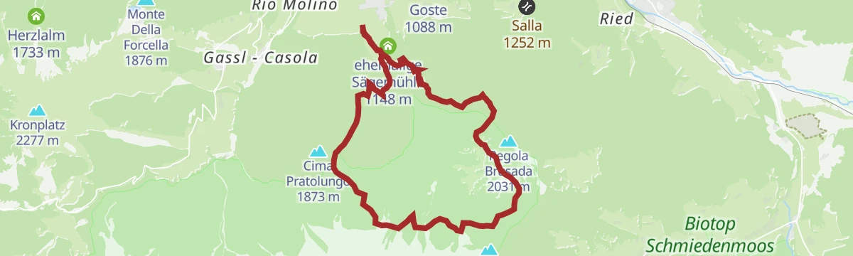
Open route OlangHiking Tour Valdaora/Olang
A circuit of the alpine dairies above Valdaora, passing three staffed huts, with a start that can be reached by public transport.
- 15.2 km
- Distance
- 932 m
- Ascent
- 6 h 25 min
- Duration
- 28
- Check-ins
- Angereralm - Malga Angerer 1 401 m
- Lanzwiese Alm - Malga Lanzwiese 1 822 m
- Brunstalm - Malga Brusada 1 898 m
- Panorama 1 110 m
Open route OlangPustertal|Val Pusteria Bike Route: Leg San Candido|Innichen - Brunico|Bruneck
A rolling leg beside the railway from San Candido down to Brunico, through Dobbiaco, Villabassa and Valdaora with meadows either side.
- 34.7 km
- Distance
- 157 m
- Ascent
- 3 h 21 min
- Duration
- 57
- Check-ins
- Baita 1 175 m
- Tourist Info Olang 1 046 m
- Treff Ried 927 m
- Tourismusbüro Niederdorf - Ufficio Turistico di Villabassa 1 156 m
- Weiher in der Aue 918 m
- Sportbar Percha 926 m
- +2
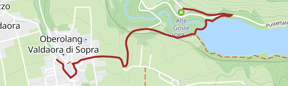
Open route Ski- und Wandergebiet KronplatzOberolang - Goste
An unhurried walk from Oberolang along the Lottersteig, trail 21B, to the old Goste farmstead above the village.
- 2.5 km
- Distance
- 74 m
- Ascent
- 45 min
- Duration
- 12
- Check-ins
Open route OlangHike to the Oberegger hut
A climb on path 3 from Gassl or Geiselsberg through forest and open meadow to the Oberegger Alm on the Kronplatz side.
- 2.1 km
- Distance
- 382 m
- Ascent
- 1 h 26 min
- Duration
- 22
- Check-ins
Open route OlangFixed rope route on the Hochalpenkopf
A route in the Fanes-Sennes-Braies park on paths 20 and 20B by the Brunstalm to the Kühwiesenkopf, then a cabled line to the Kaserkopf and Hochalpenkopf.
- 12.6 km
- Distance
- 1 638 m
- Ascent
- 7 h 2 min
- Duration
- 26
- Check-ins
- Kühwiesenkopf 2 141 m
- Hochalpenkopf 2 539 m
- Brunstalm - Malga Brusada 1 898 m
- Käseralm 1 946 m
- Kaseralm 1 946 m
- ehemalige Sägemühle 1 148 m
- +2
Open route OlangPustertal Valley Bike Route: Innichen - Bruneck
The gently descending leg of the Puster valley cycle path from San Candido west to Brunico, passing Valdaora and the pond at Perca.
- 33.5 km
- Distance
- 194 m
- Ascent
- 3 h 16 min
- Duration
- 50
- Check-ins
- Baita 1 175 m
- Tourist Info Olang 1 046 m
- Treff Ried 927 m
- Weiher in der Aue 918 m
- Sportbar Percha 926 m
Open route Gitschberg - Jochtal
No routes of this kind in Valdaora/Olang yet.
The region's own picks

Featured route
Plan de Corones > Malga Oberegger > Casola
A long descent from the summit of Plan de Corones by the Oberegger dairy to Casola, with views the whole way.
Planning a trip to Valdaora/Olang?
Everything else Trentino-Alto Adige/Südtirol has, in one place


Take Valdaora/Olang with you into the mountains
Every route on this page with 3D terrain, GPX navigation and offline maps — including the valleys with no signal.
Data sources
- Official website: suedtirol.info ↗
- Routes and highlights: Olang, Sterzing, Pfitsch und Freienfeld, Bruneck Kronplatz Tourismus, Tourismusgenossenschaft Antholzertal, Alta Badia, Ski- und Wandergebiet Kronplatz, Gitschberg - Jochtal, YesAlps, Alta Badia Tourism Cooperative, Kiens
- Published as open data by the tourist boards named above.
- Region summary generated from the board's own material.
