
 Historic site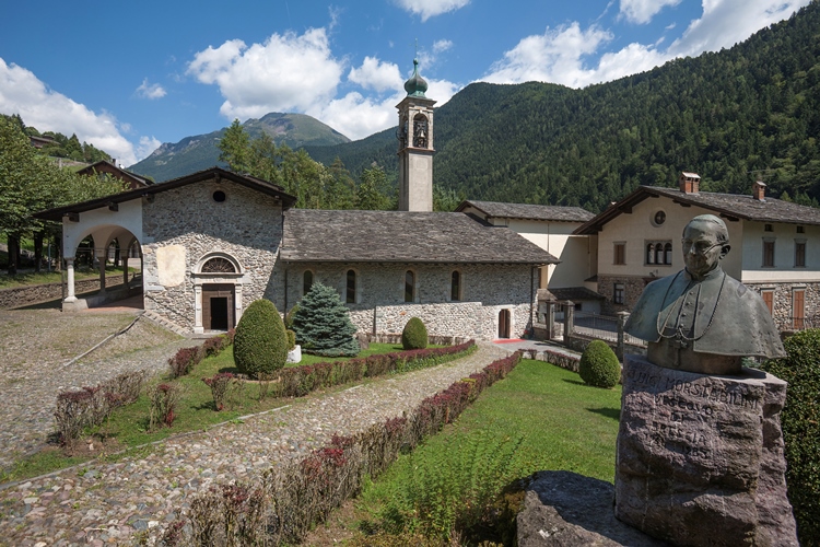




- 3Highlights
- 23Routes
- Featured summit · Monte Sasna
Highlights
12 from neighbouring places
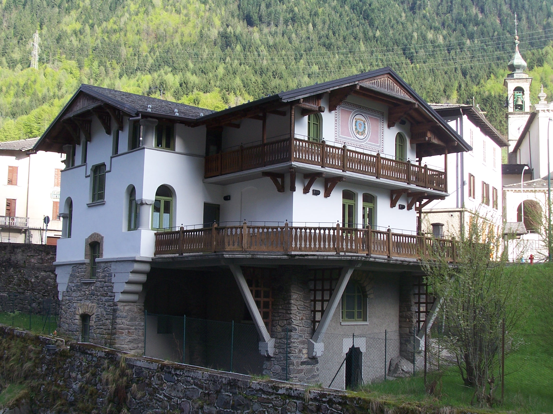
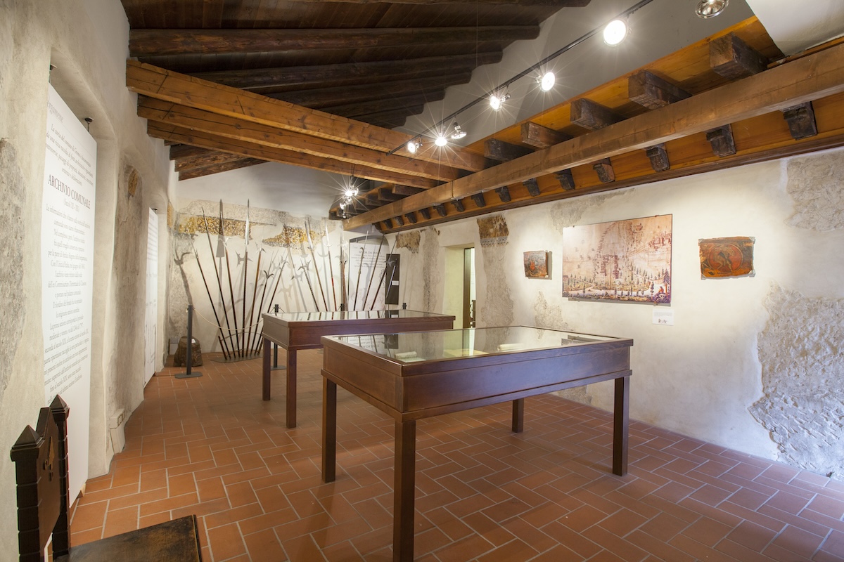
Museo dell’Identità e della Cultura Locale
A museum at Valbondione on shepherding, mining and life at the head of the Val Seriana.
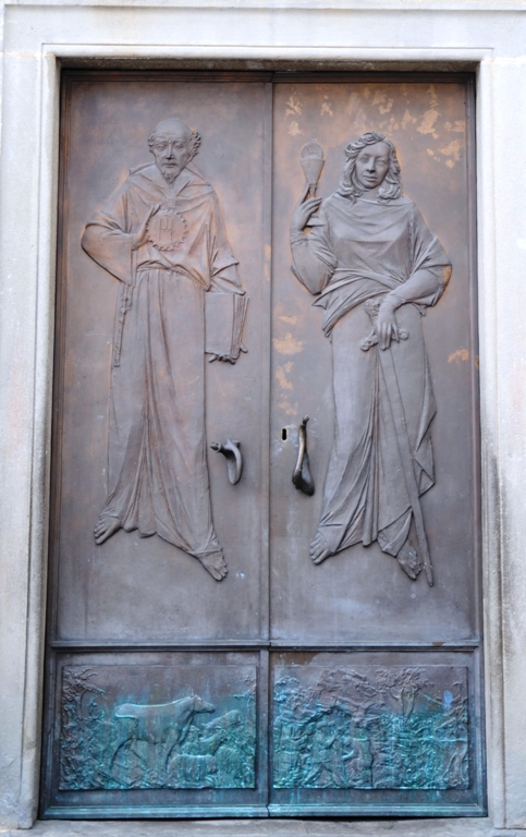
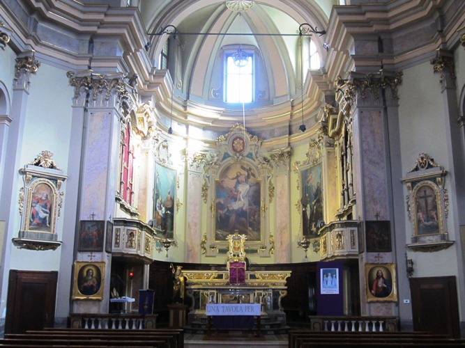
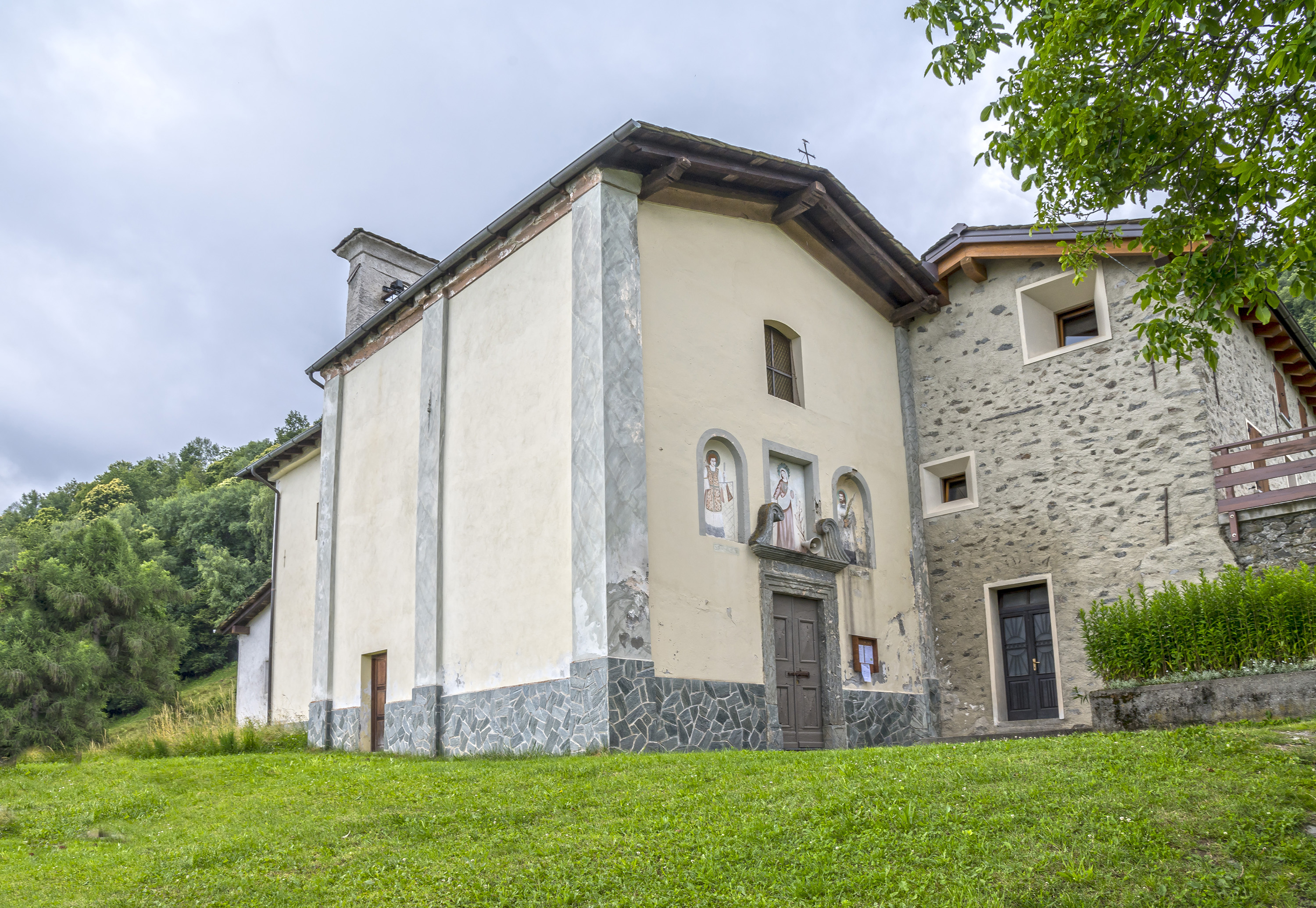
Chiesa di San Bernardino
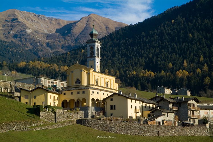
The church at Valbondione, at the foot of the path to the Serio waterfalls.
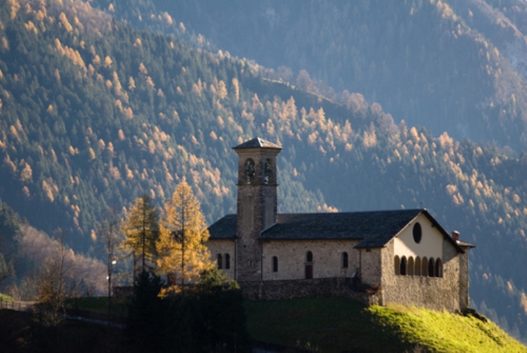
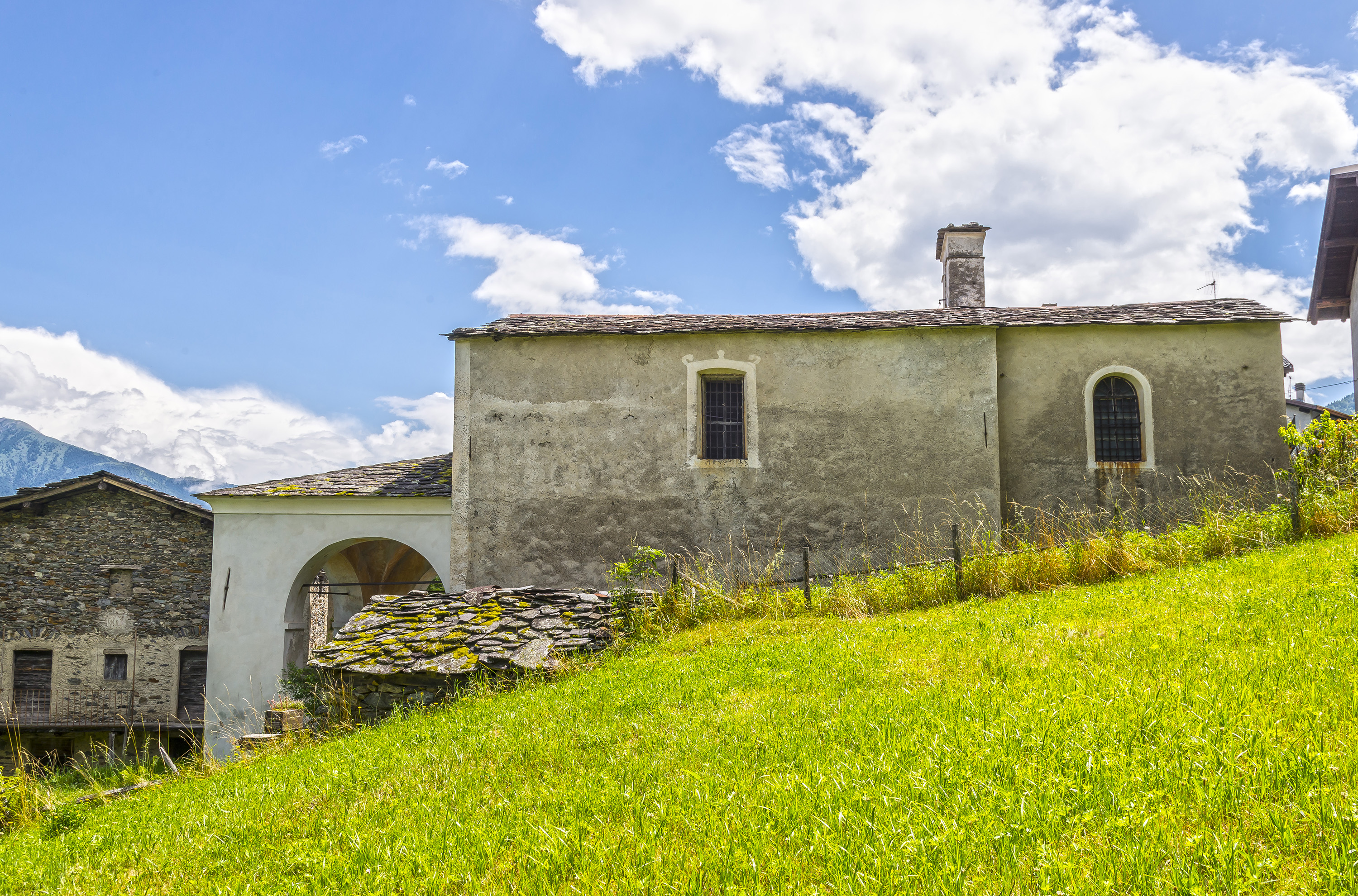
Chiesa di Sant’Antonio Abate
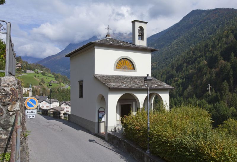
A small church on the Valbondione slope, on the old track up the valley.
Chiesa di Santa Maria Nascente
5.5 km away, in Gandellino
A church in the Gandellino hamlets, above the Serio.
Chiesa di San Bartolomeo
8.5 km away, in Gromo
A church in the Gromo hamlets, on the slope above the Serio.
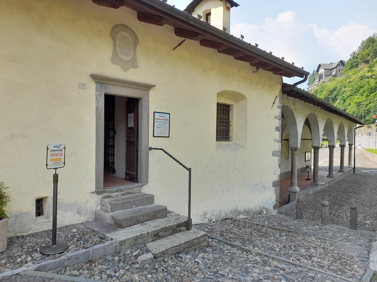
Museo parrocchiale di Gromo “Mons. Luigi Morstabilini”
8.6 km away, in Gromo
The parish collection at Gromo: vestments, silver and paintings from the valley's churches.
Chiesa della Crocetta
8.8 km away, in Gromo
A small church above Gromo, on the path out of the village.
Castello Ginami
9 km away, in Gromo
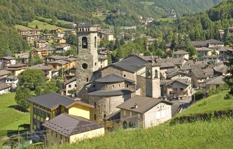
A fourteenth-century tower house in Gromo, the seat of the family that ran the valley's blade forges.
Chiesa di San Giacomo Apostolo e San Vincenzo Levita
9.4 km away, in Gromo
Gromo's parish church, on the terrace above the Serio gorge.
Chiesa di San Gregorio Magno
9.4 km away, in Gromo
A church in Gromo, near the old square where the blade-makers had their workshops.
Chiesa di San Lorenzo
12.1 km away, in Ponte in Valtellina
A church on the Valtellina slope below Ponte, among the vineyard terraces.
Chiesa di San Rocco
13.9 km away, in Piateda
A votive church at Piateda, on the Orobie slope of the Valtellina.
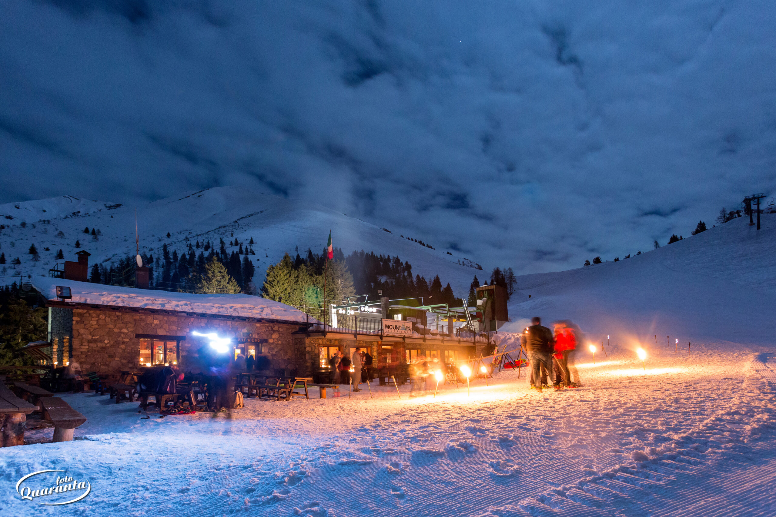
Rifugio Vodala
8.8 km away, in Ardesio
A hut above Ardesio in the upper Val Seriana, below the Orobie ridge.
Nothing of this kind in Valbondione.
Routes
Dal Curò tra i fiori della Val Seriana
From the Curò hut towards Monte Cimone, on a stretch of the Val Seriana known for its alpine flora.
- 4.0 km
- Distance
- 12 m
- Ascent
- 1 h 42 min
- Duration
- 119
- Check-ins
Dal Coca al Curò
A high link between the Coca and Curò huts in the Orobie, following CAI path 303 across the head of the Seriana valley.
- 5.7 km
- Distance
- 807 m
- Ascent
- 4 h 43 min
- Duration
- 221
- Check-ins
Dal Rifugio Curò al Rifugio Albani
A long stage from the Curò hut down the mule track and up path 404 over the Ferrantino ridge to the Albani hut below the Presolana.
- 17.4 km
- Distance
- 1 269 m
- Ascent
- 8 h 17 min
- Duration
- 289
- Check-ins
Cycle path of river Serio
A long ride beside the Serio, on the cycleway that runs from the lower valley up through Clusone towards Valbondione.
- 53.9 km
- Distance
- 716 m
- Ascent
- 5 h 25 min
- Duration
- 51
- Check-ins
Dal Brunone a piedi fino al Coca
The high traverse from the Brunone hut across to the Coca hut on path 302, sharing its first stretch with the Redorta route.
- 6.1 km
- Distance
- 626 m
- Ascent
- 4 h 35 min
- Duration
- 150
- Check-ins
Dal Rifugio Curò al Rifugio Tagliaferri
A stage from the Curò hut to the Tagliaferri hut, halfway to the Vivione pass, through the Valbelviso-Barbellino reserve and its scatter of tarns.
- 7.6 km
- Distance
- 985 m
- Ascent
- 5 h 1 min
- Duration
- 179
- Check-ins
Ciclabile dell'Alta Val Seriana
A valley cycle path through the upper Val Seriana, following the floor of the valley from Clusone as far as Valbondione at 869 m.
- 24.3 km
- Distance
- 565 m
- Ascent
- 2 h 34 min
- Duration
- 51
- Check-ins
Da Lizzola ai Rifugi Campel e Mirtillo
A steep climb from Lizzola to the Campel and Mirtillo huts, under the highest peaks of the Orobie at the head of the Seriana valley.
- 3.2 km
- Distance
- 688 m
- Ascent
- 2 h 31 min
- Duration
- 76
- Check-ins
Barbellino Tour
A long, nearly level circuit on the Barbellino plateau above the dam, high in the Orobie behind Valbondione.
- 12.1 km
- Distance
- 173 m
- Ascent
- 4 h 34 min
- Duration
- 165
- Check-ins
Escursione Lago Spigorel
A long climb up the Val Sedornia above Gandellino to the Lago Spigorel, in the Orobie Bergamasche.
- 12.8 km
- Distance
- 866 m
- Ascent
- 5 h 45 min
- Duration
- 67
- Check-ins
Da Valbondione al Rifugio Barbellino
A long climb from Valbondione to the Barbellino hut beside its lake, best kept for walkers in good condition.
- 12.1 km
- Distance
- 1 438 m
- Ascent
- 6 h 16 min
- Duration
- 165
- Check-ins
Valmorta, un paesaggio grandioso e solitario
A climb into the Valmorta, a stony dead-end valley the shepherds never much wanted, and quiet and intact for exactly that reason.
- 9.8 km
- Distance
- 1 543 m
- Ascent
- 6 h 34 min
- Duration
- 152
- Check-ins
 Rifugio Antonio Curò 1 915 m
- Ostello al Curò 1 896 m
- Rifugio Consoli UEB 1 895 m
 Lago inferiore di Valmorta 2 148 m
Dal Rifugio F.lli Calvi al Rifugio Brunone
A traverse on CAI 225 from the Calvi hut past Lago Rotondo into the young Brembo valley, under the Pizzo del Diavolo di Tenda.
- 10.5 km
- Distance
- 1 003 m
- Ascent
- 5 h 42 min
- Duration
- 136
- Check-ins
- Rifugio Fratelli Calvi 2 015 m
- Rifugio F.lli Calvi 2 000 m
- Rifugio Antonio Baroni al Brunone 2 295 m
- Lago Rotondo 1 971 m
- Bivacco Aldo Frattini 2 225 m
- Laghetto alle Sorgenti del Brembo 2 294 m
- +1
Fino al Lago di Coca
A steep classic of the Orobie: up to the Merelli hut at Coca and on to the lake beneath the highest peaks of the Seriana valley.
- 4.1 km
- Distance
- 1 195 m
- Ascent
- 4 h 14 min
- Duration
- 128
- Check-ins
Trekking alle Cascate del Serio
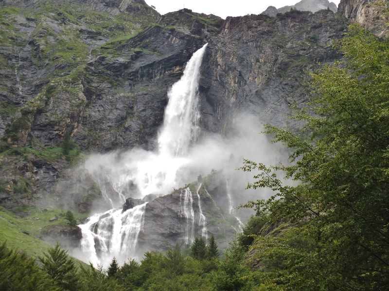
A climb to the foot of the Serio falls, which run only on the five days a year the reservoir above is opened.
- 5.3 km
- Distance
- 985 m
- Ascent
- 3 h 42 min
- Duration
- 115
- Check-ins
Da Valbondione al Rifugio Curò
A climb from Valbondione, parking by the sports hall or at Grumetti, up to the Curò hut beside the Barbellino dam.
- 7.2 km
- Distance
- 1 123 m
- Ascent
- 4 h 39 min
- Duration
- 115
- Check-ins
Da Valbondione al tetto delle Orobie
The full ascent from Valbondione to Pizzo Coca, at just over 3,000 m the highest summit of the Orobie, with more than 2,000 m to climb.
- 6.4 km
- Distance
- 2 096 m
- Ascent
- 7 h 18 min
- Duration
- 114
- Check-ins
Trekking in Val Sedornia e lago Spigorel
A steep climb up the Val Sedornia above Gandellino to Lago Spigorel, one of the alpine lakes of the Orobie.
- 6.9 km
- Distance
- 1 035 m
- Ascent
- 4 h 6 min
- Duration
- 67
- Check-ins
Da Valbondione al Rif. Merelli al Coca
The climb to the Mario Merelli hut at Coca, less fierce than its reputation but with stretches where footing needs care.
- 3.1 km
- Distance
- 977 m
- Ascent
- 3 h 28 min
- Duration
- 59
- Check-ins
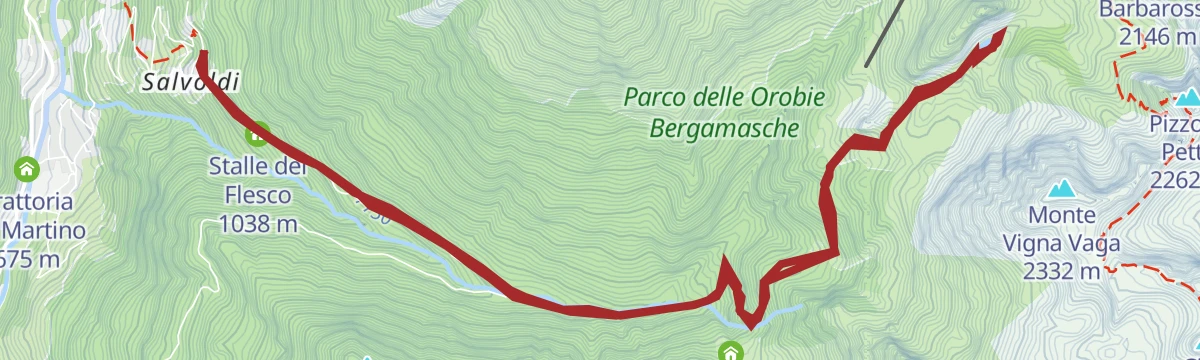
A scavalco del Monte Sasna
A crossing of Monte Sasna from Nona, the last hamlet of the Valbona above Vilminore, using the old track that climbs towards the Manina pass.
- 12.0 km
- Distance
- 957 m
- Ascent
- 6 h 14 min
- Duration
- 58
- Check-ins
Attorno al monte Toazzo
A long circuit around Monte Toazzo above Valbondione, high in the Orobie on the Seriana side.
- 12.4 km
- Distance
- 2 015 m
- Ascent
- 11 h 29 min
- Duration
- 33
- Check-ins
Da Valbondione al Rifugio Brunone
A hard climb up the Fiumenero valley to the Brunone hut at 2,297 m, one of the highest and least accessible in the Orobie.
- 7.0 km
- Distance
- 1 496 m
- Ascent
- 5 h 30 min
- Duration
- 24
- Check-ins
Da Fiumenero al Passo di Valsecca
A long climb from Fiumenero to the Passo di Valsecca; into late spring the state of the snow on the upper slopes needs judging.
- 5.3 km
- Distance
- 1 742 m
- Ascent
- 6 h 7 min
- Duration
- 13
- Check-ins
No routes of this kind in Valbondione yet.
The region's own picks
Featured route
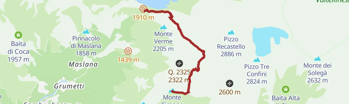
Dal Curò tra i fiori della Val Seriana
From the Curò hut towards Monte Cimone, on a stretch of the Val Seriana known for its alpine flora.
Planning a trip to Valbondione?
Everything else Lombardy has, in one place


Take Valbondione with you into the mountains
Every route on this page with 3D terrain, GPX navigation and offline maps — including the valleys with no signal.
Data sources
- Official website: italia.it ↗
- Routes and highlights: in Lombardia, Val Seriana, Sondrio e Valmalenco
- Published as open data by the tourist boards named above.
- Region summary generated from the board's own material.
