




Curated by Sondrio e Valmalenco
Val Masino
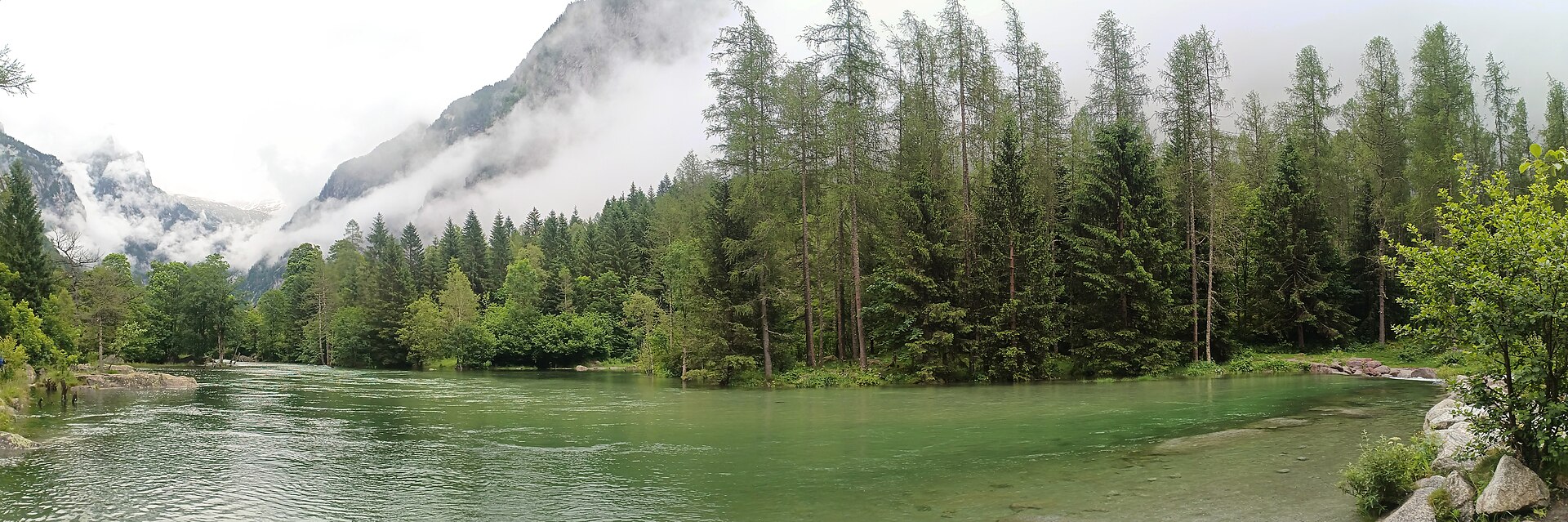
Valtellina comune of granite: the Val di Mello and the Bagni di Masino draw walkers and climbers to some of the best rock in the Alps.
Photo: Dega180 · CC0 licence
- 10Highlights
- 14Routes
- Featured summit · Monte Bassetta
Highlights
All 10 from neighbouring places
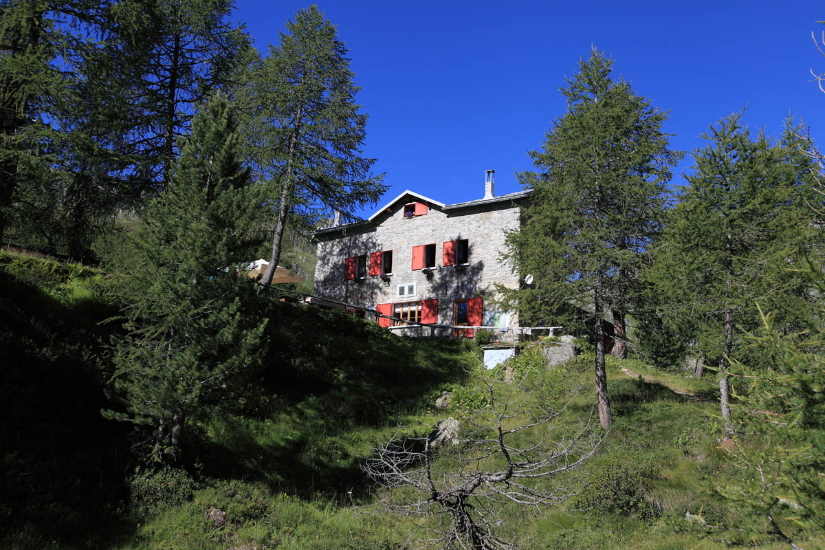
Rif. Del Grande Camerini 2600m
10.3 km away, in Chiesa in Valmalenco
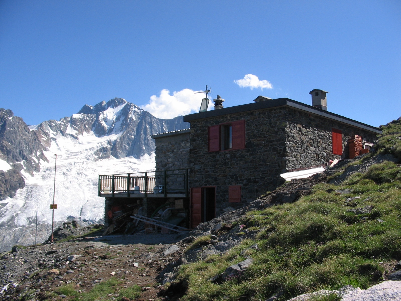
A hut at 2,600 m below the Monte Disgrazia, on the Sentiero Roma at the head of the Valmalenco.
Rif. Ventina 1960m
11.9 km away, in Chiesa in Valmalenco
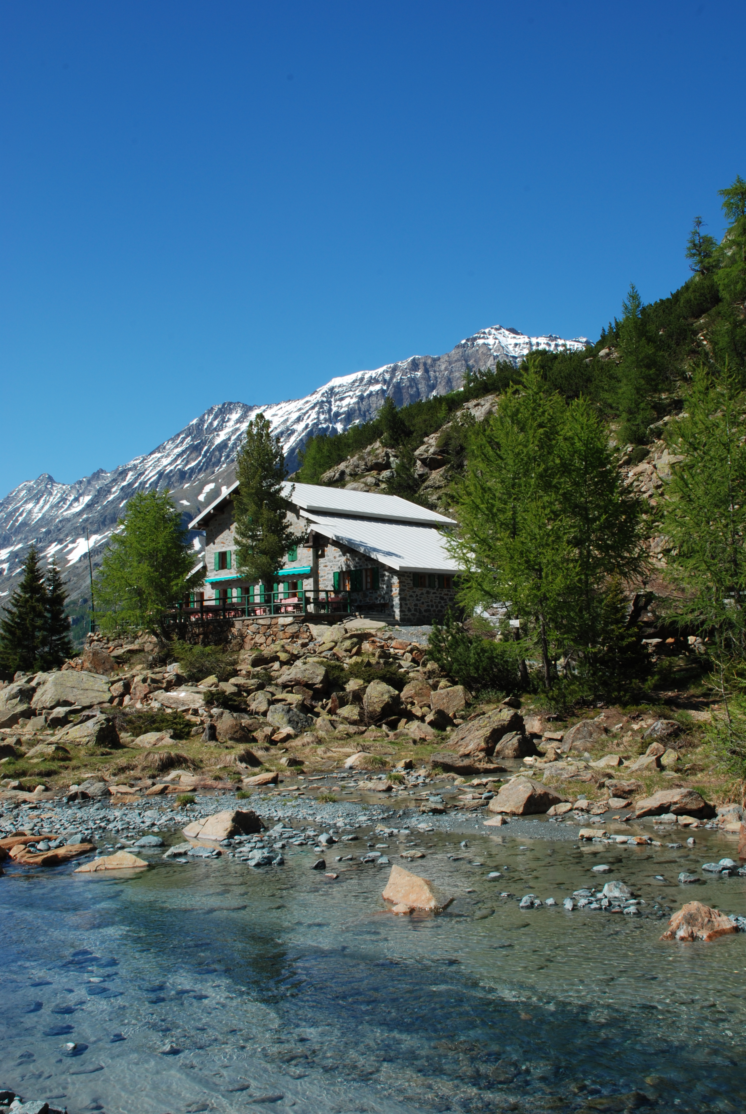
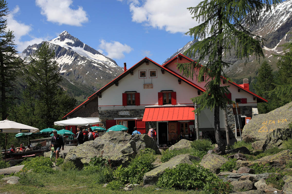
A hut at the foot of the Ventina glacier, with a marked glaciological trail showing the ice retreat.
Rif. Gerli Porro 1960 m
12.6 km away, in Chiesa in Valmalenco
A hut at 1,960 m on the Ventina pastures, at the foot of the Disgrazia glacier path.
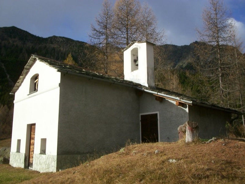
Chiesa di Sant'Anna
13.6 km away, in Chiesa in Valmalenco
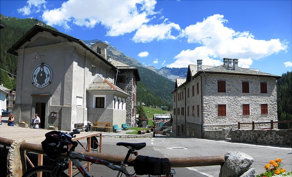
A chapel high in the Valmalenco, on the track towards the Chiareggio pastures.
Chiesa di Sant'Abbondio all'Alpe Lago
13.9 km away, in Chiesa in Valmalenco
A chapel on the Alpe Lago pastures above the Valmalenco, reached on foot.
Rif. Bosio Galli 2086m
10.6 km away, in Torre di Santa Maria
A hut at 2,086 m below the Monte Disgrazia, on the Sentiero Roma high route.
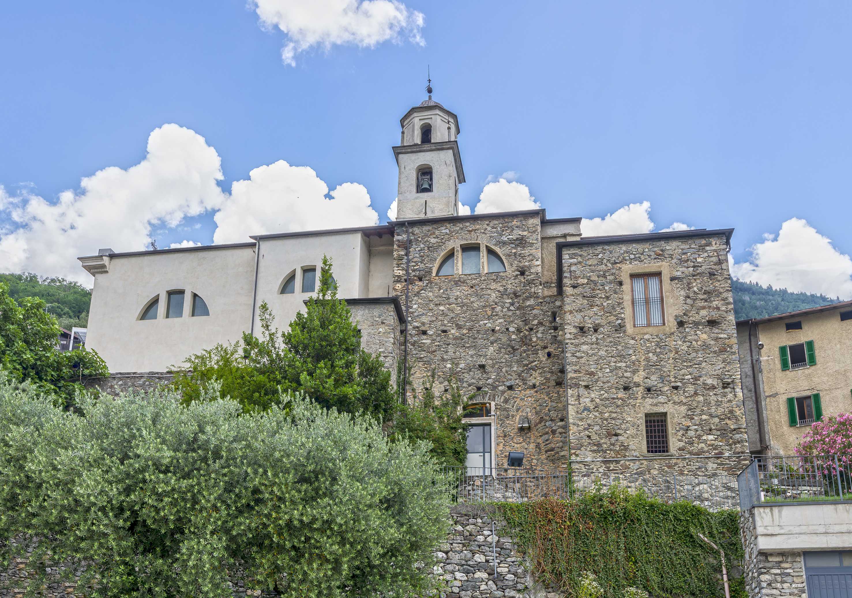
Chiesa di Sant'Abbondio
12 km away, in Berbenno di Valtellina
A church at Berbenno di Valtellina, on the Orobie slope above the Adda.
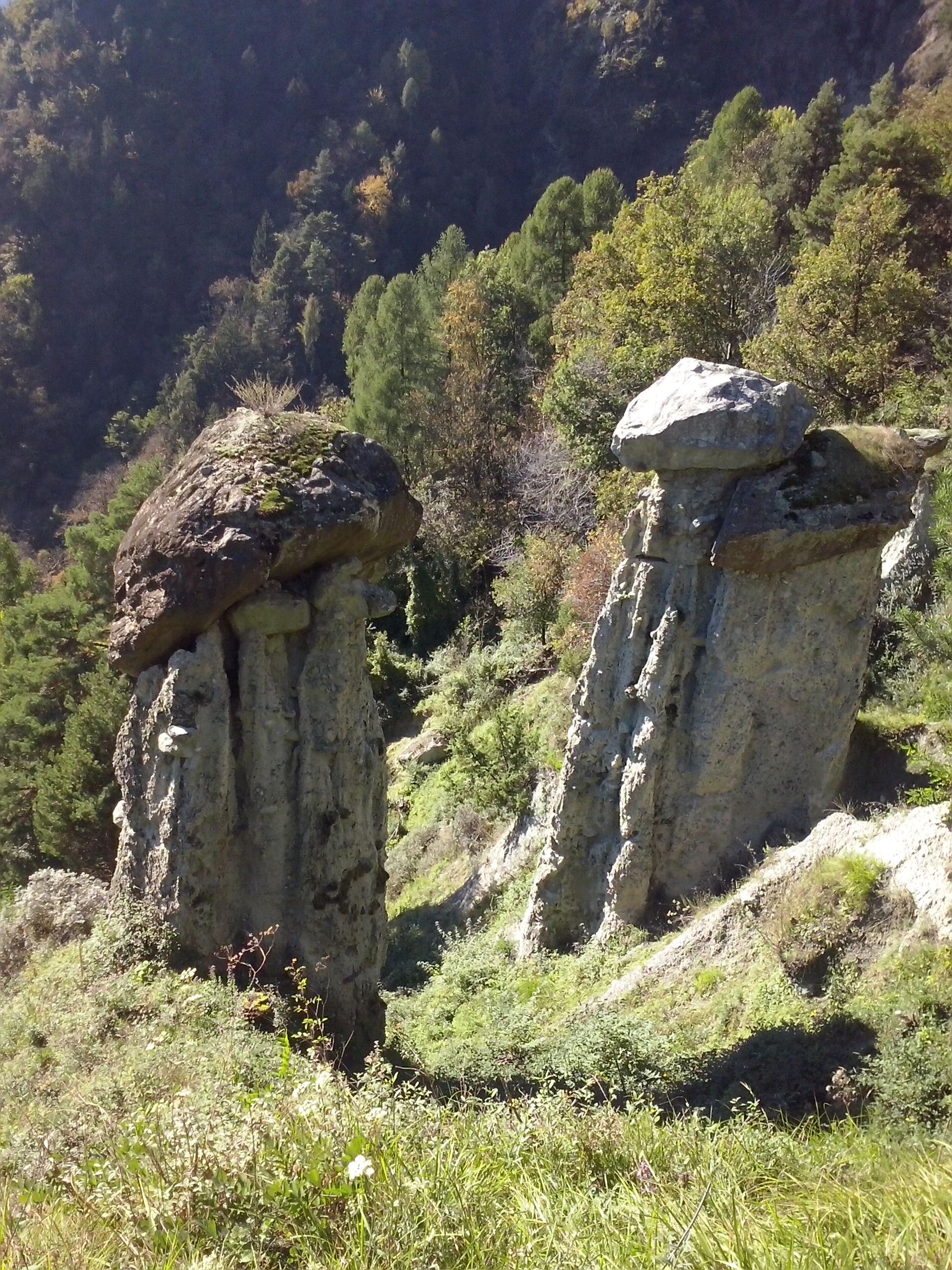
Riserva naturale delle Piramidi di Postalesio
12.7 km away, in Postalesio
Earth pyramids above Postalesio, moraine spires each capped by the stone that shelters it from rain.
Chiesa di San Lorenzo
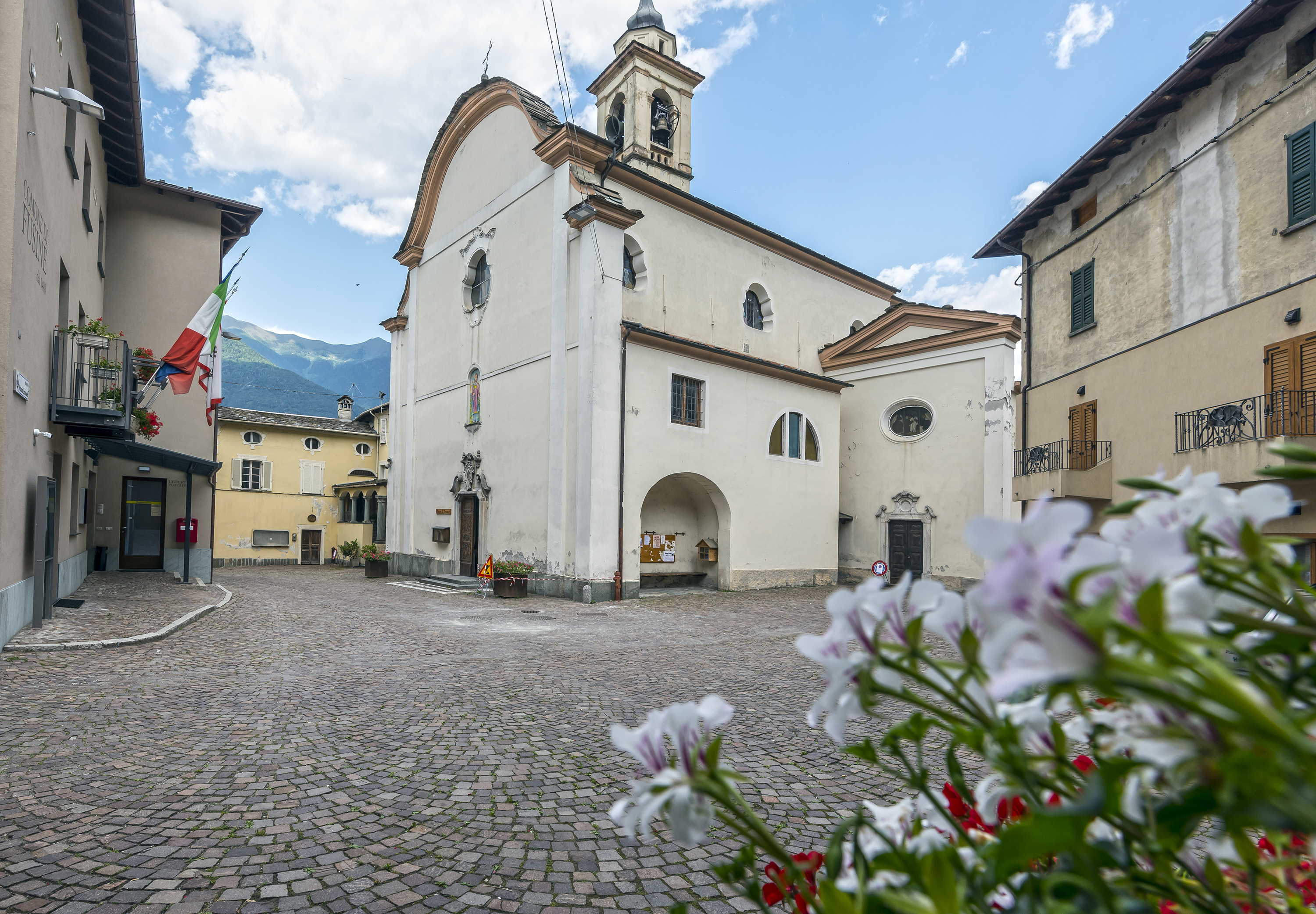
13.9 km away, in Fusine
The parish church of Fusine, on the Orobie side of the Valtellina.
Museo Civico di Storia Naturale di Morbegno
14.1 km away, in Morbegno
A natural history museum at Morbegno on the Orobie and Rhaetian slopes that meet at the valley mouth.
Nothing of this kind in Val Masino.
Routes
Val di Mello, an extraordinary nature reserve
Into the Val di Mello from San Martino, a granite valley of slabs and waterfalls kept as a reserve.
- 4.8 km
- Distance
- 236 m
- Ascent
- 1 h 30 min
- Duration
- 225
- Check-ins
 Rifugio Mello 1 100 m
- Luna Nascente 1 088 m
- Trattoria Gatto Rosso 1 045 m
- Ca dei Scuma 1 077 m
- agriturismo ai camer 1 126 m
- Rifugio Rasega 1 151 m
Open route Valtellina OutdoorVal di Mello da fiaba
A walk into the Val di Mello at the head of the Val Masino, a nature reserve since 2009.
- 9.5 km
- Distance
- 224 m
- Ascent
- 2 h 46 min
- Duration
- 171
- Check-ins
Val di Mello Trekking
A longer trek through the Val di Mello nature reserve in the Val Masino, under the granite walls that close the valley.
- 15.9 km
- Distance
- 622 m
- Ascent
- 5 h 16 min
- Duration
- 243
- Check-ins
Filorera San Martino cycling and pedestrian path
A flat, paved path beside the Masino stream, with benches, lighting on its first section and the Sasso Remenno boulder along the way.
- 2.9 km
- Distance
- 60 m
- Ascent
- 18 min
- Duration
- 18
- Check-ins
Open route Valtellina OutdoorDa San Martino al Rifugio Luna Nascente
An easy path from San Martino through the Val di Mello reserve to the Luna Nascente hut, below climbing walls named the Dimora degli Dei and the Precipizio degli Asteroidi.
- 4.7 km
- Distance
- 181 m
- Ascent
- 1 h 23 min
- Duration
- 137
- Check-ins
Predarossa Valley, extraordinary high-altitude landscape
From the Predarossa car park at 1,955 metres across the peat bog beside the Duino stream and up to the Cesare Ponti hut at 2,559 metres, under Monte Disgrazia.
- 4.2 km
- Distance
- 606 m
- Ascent
- 2 h 23 min
- Duration
- 28
- Check-ins
Open route Valtellina OutdoorSENTIERO WALTER BONATTI
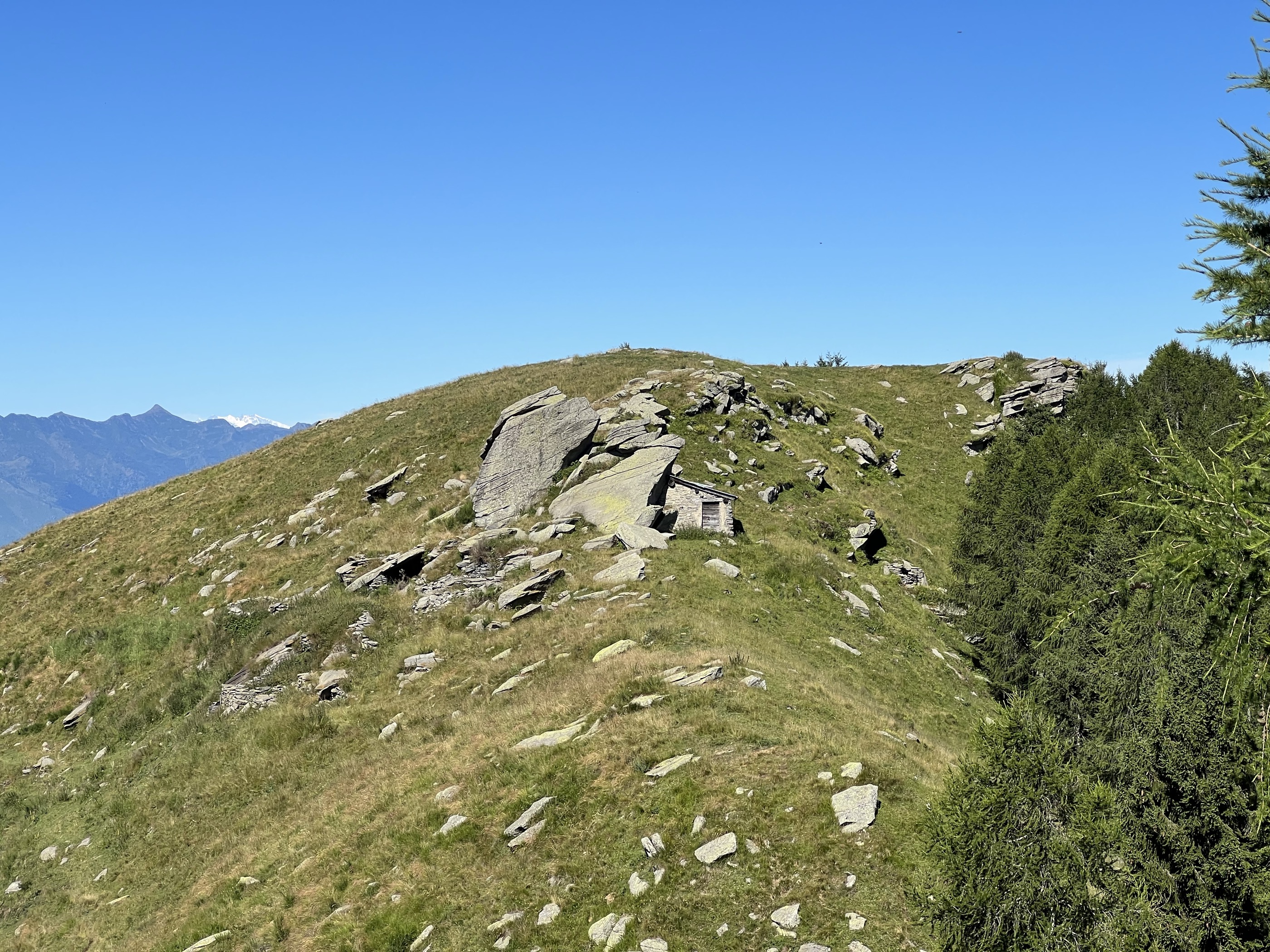
A long, demanding traverse from Dubino to the Bagni di Masino over Monte Bassetta and the Passo del Calvo, calling at Rifugio Omio.
- 26.6 km
- Distance
- 3 109 m
- Ascent
- 16 h 54 min
- Duration
- 71
- Check-ins
 Monte Bassetta 1 746 m
- Monte Foffricio 1 258 m
- Rifugio Antonio Omio 2 104 m
- Bivacco Silvio Saglio 2 109 m
- Bivacco Primàlpia 1 980 m
- alpe Bassetta 1 725 m
- +3
Open route Valtellina OutdoorLa colorata piana di Preda Rossa
A walk on the Preda Rossa plain, an alpine flat ringed by reddish rock walls under the 3,678-metre summit of Monte Disgrazia.
- 4.7 km
- Distance
- 214 m
- Ascent
- 1 h 38 min
- Duration
In Valtellina, nella foresta del Gigiàt
One of the easier walks in the Val Masino, through the Gigiàt forest, at its best when the larches turn in autumn.
- 7.4 km
- Distance
- 370 m
- Ascent
- 2 h 42 min
- Duration
- 2
- Check-ins
Sentiero dei Borghi
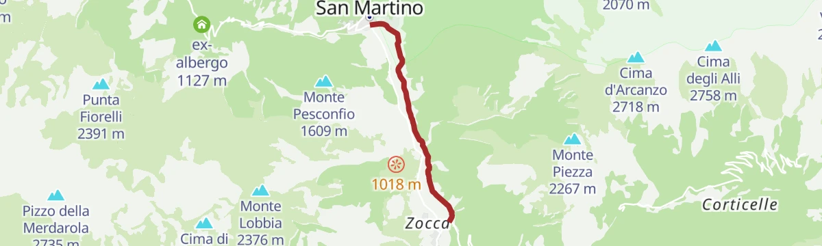
A loop linking the five villages of the Val Masino: San Martino, Bagni di Masino, Cataeggio, Filorera and Cornolo, on old paths between the settlements.
- 20.4 km
- Distance
- 655 m
- Ascent
- 6 h 27 min
- Duration
- 24
- Check-ins
Open route Valtellina OutdoorMasino Baths with Joëlette
A sensory trail of water, wood and scents laid out for blind visitors and passable by joelette, started at Bagni Masino to avoid the initial climb, with a picnic clearing.
- 1.8 km
- Distance
- 20 m
- Ascent
- 28 min
- Duration
Open route Valtellina OutdoorSentiero Italia D20N - Stage Filorera Scermendone Bivouac
A climb from Filorera on the Predarossa road, then off to the Alpe Granda hut and along the whole Granda-Scermendone ridge, facing the Orobie and the Masino peaks.
- 9.2 km
- Distance
- 1 345 m
- Ascent
- 5 h 23 min
- Duration
- 20
- Check-ins
- Monte Scermendone 2 127 m
- Pizzo Mercantelli 2 070 m
- Rifugio Alpe Granda 1 683 m
- Bivacco Scermendone 2 131 m
- Casere Scermendone 2 094 m
Open route Valtellina OutdoorThe sensory path of Bagni di Masino
A flat kilometre from the Bagni Masino car park with nine boards on plants, animals and geology, through meadow and old woodland of moss-covered stones, with a picnic area.
- 1.1 km
- Distance
- 30 m
- Ascent
- 20 min
- Duration
Open route Valtellina OutdoorSentiero Italia D19N - Tappa Frasnedo Filorera
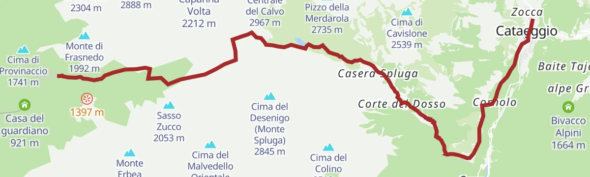
A high stage from Frasnedo up past the Bivacco Primàlpia to the Passo di Primalpia, then down by the Spluga lakes towards Cataeggio.
- 18.6 km
- Distance
- 1 611 m
- Ascent
- 11 h
- Duration
- 15
- Check-ins
- Bivacco Primàlpia 1 980 m
- Rifugio Frasnedo 1 287 m
 Passo di Primalpia 2 477 m
- Centraline Cavru 707 m
 Laghetto di Spluga 2 078 m
- Lago Medio di Spluga 2 121 m
Open route Valtellina Outdoor
No routes of this kind in Val Masino yet.
The region's own picks

Featured route
Val di Mello, an extraordinary nature reserve
Into the Val di Mello from San Martino, a granite valley of slabs and waterfalls kept as a reserve.
Planning a trip to Val Masino?
Everything else Lombardy has, in one place


Take Val Masino with you into the mountains
Every route on this page with 3D terrain, GPX navigation and offline maps — including the valleys with no signal.
Data sources
- Official website: italia.it ↗
- Routes and highlights: Sondrio e Valmalenco, Valtellina Outdoor, in Lombardia, Italia.it
- Published as open data by the tourist boards named above.
- Region summary generated from the board's own material.
