
 Cable car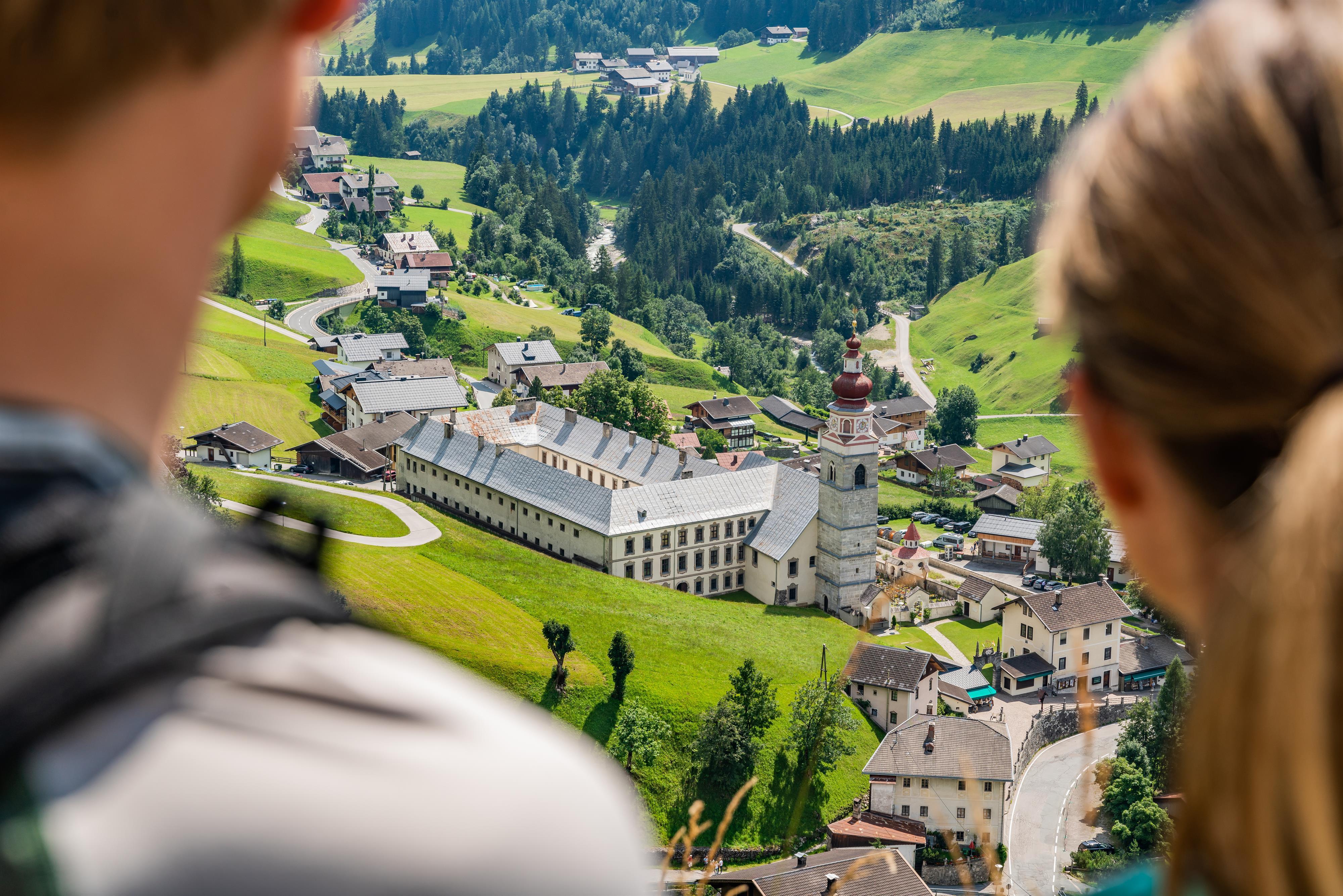
 Mountain hut
 Historic site






Curated by Osttirol Tourismus
Untertilliach
A scatter of hamlets at about 1240 m on the sunny side of the Tyrolean Gail valley, one of Austria's smallest municipalities with barely 200 people.
- 11Highlights
- 9Routes
- Featured summit · Reiterkarspitze / Monte Cecido
Highlights
All 11 from neighbouring places
Obertilliacher Bergbahnen
4.5 km away, in Obertilliach
The village lifts of Obertilliach at 1,459 m, rising to the Golzentipp ski and family walking area above the Tiroler Gailtal.
Basilika Maria Luggau
4.9 km away, in Lesachtal
A pilgrimage basilica at Maria Luggau in the Lesachtal, visited by thousands of pilgrims each year.
Kindermeile im Familienwandergebiet Golzentipp
5 km away, in Obertilliach
A children's trail in the Golzentipp family walking area above Obertilliach, with play stations strung along an easy lift-served route.
Klapfsee
7.8 km away, in Obertilliach
A small mountain lake at Obertilliach in Osttirol, a quiet destination reached by easy walks from the village.
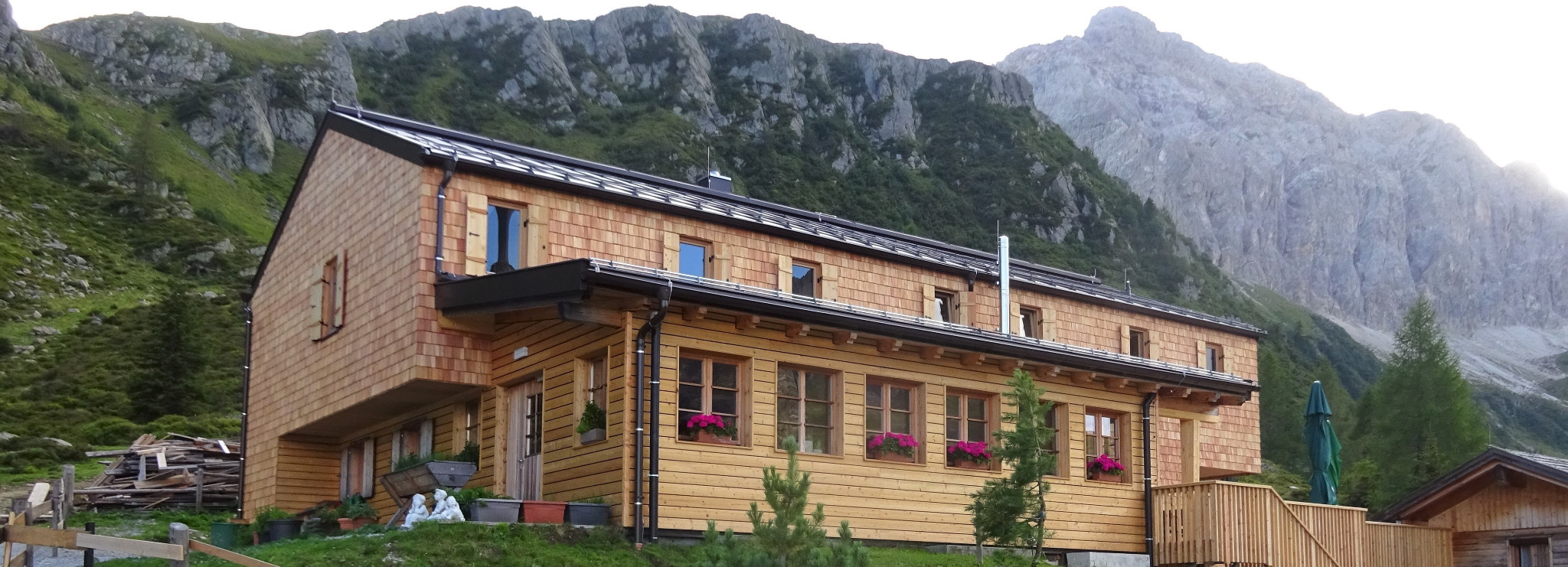
Porzehütte 1.942 m
8 km away, in Obertilliach
An alpine club hut at 1,942 m south of Obertilliach in the Carnic Alps, a stage on the Carnic high-level trail along the Italian border.
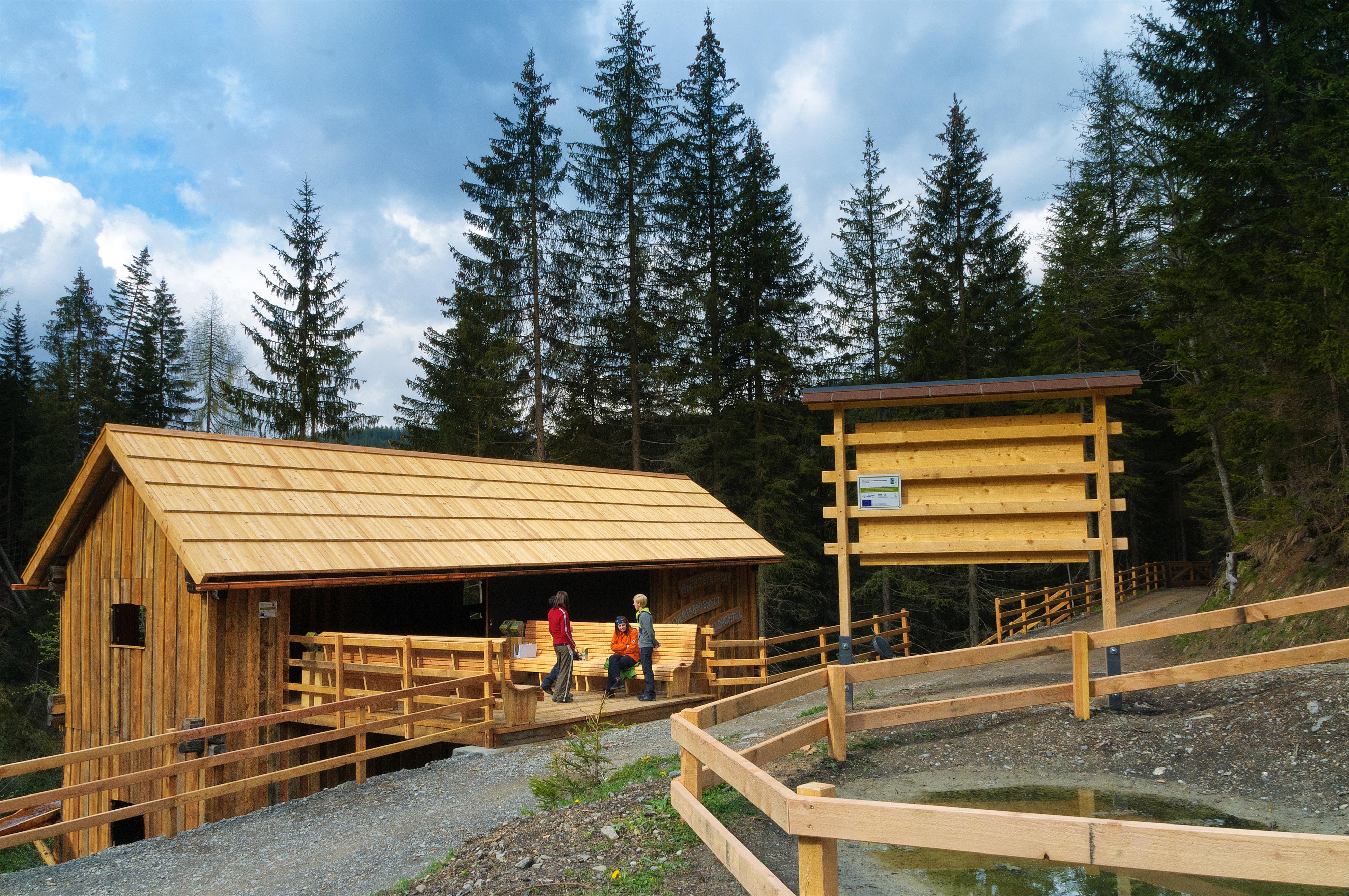
Abenteuer- und Walderlebniswelt Lesachtal
11.5 km away, in Lesachtal
A forest adventure world in the Lesachtal, with climbing and play stations among the trees.
Oberforcher Michael-Almhütte
11.7 km away, in Leisach
An alm hut of the Oberforcher farm above Leisach, on the wooded slopes at the southwestern edge of the Lienz basin.
Lienzer Klause
11.7 km away, in Leisach
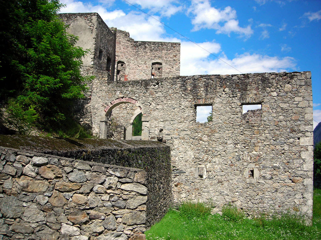
A historic barrier fortification at Leisach south of Lienz, built to control the narrow passage of the Drau valley toward the Pustertal.
Anraser Pfleghaus
12.4 km away, in Anras
A former court and administrative house of the bishops of Brixen at Anras, now a museum on the history of the Pustertal village.
Seekofel
12.9 km away, in Tristach
A multi-pitch climbing peak in the Lienz Dolomites above the Tristacher See, with routes on its limestone walls.
Nothing of this kind in Untertilliach.
Routes
11 from neighbouring places
Kircher Alm
From Untertilliach the track climbs past the game-feeding station to high pastures on the Kircher Berg — a quiet 900 m day above the Gail valley.
- 11.5 km
- Distance
- 896 m
- Ascent
- 5 h 49 min
- Duration
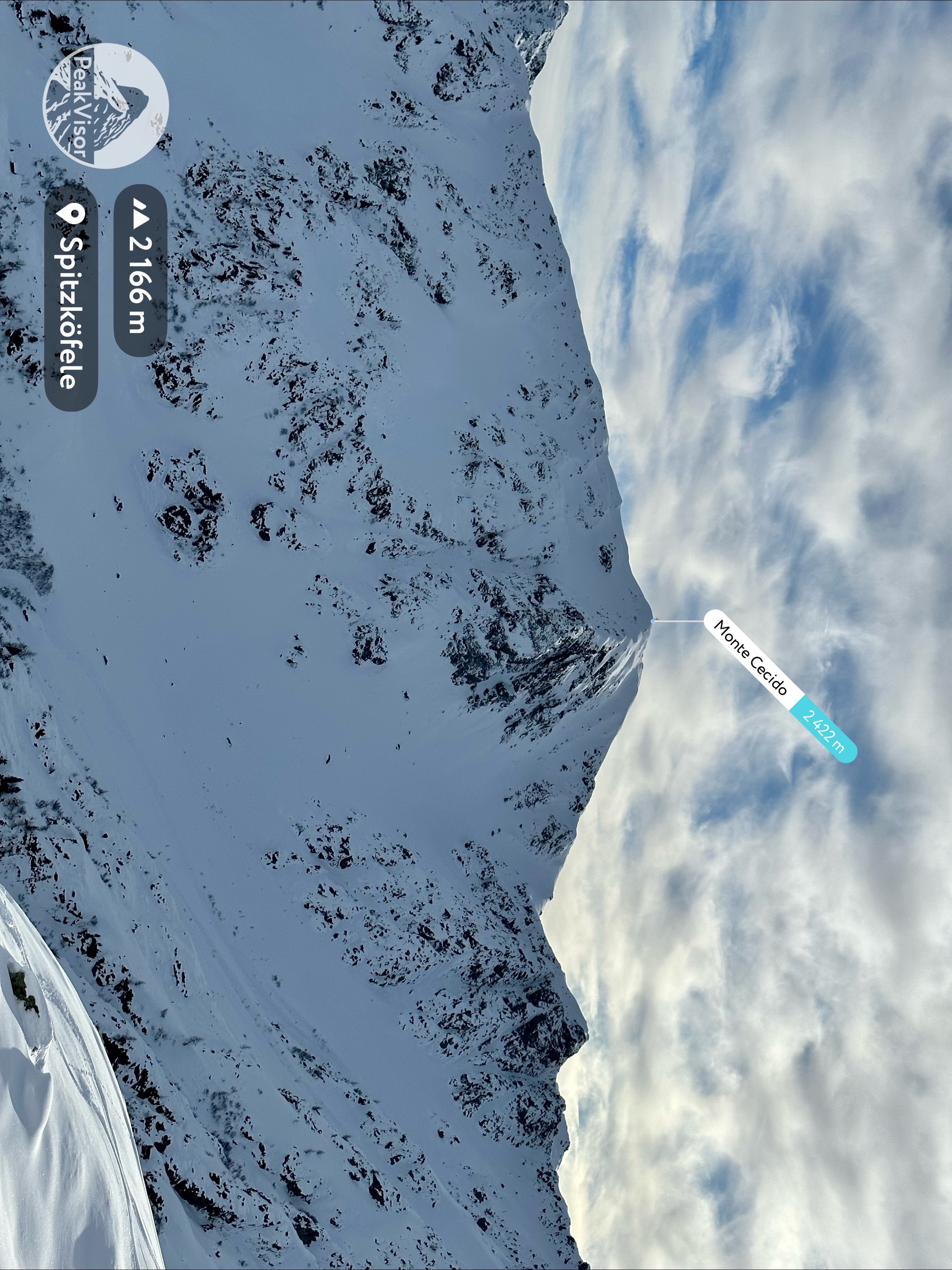
Reiterkarspitz 2.422 m
Long border round from Untertilliach's Winkl hamlet over the Winkler Joch to a 2,422 m Carnic summit shared with Italy, returning past the Oberalm and the Refugium Tilliach.
- 19.4 km
- Distance
- 1 230 m
- Ascent
- 8 h 24 min
- Duration
- 9
- Check-ins
Skitour Steinrastl 2.184m
Compact ski tour above Obertilliach, climbing about 700 m to a 2,184 m summit — a solid half-day choice when time or conditions are limited.
- 3.4 km
- Distance
- 703 m
- Ascent
- 703 m
- Descent
- 2 h 15 min
- Duration
Skitour Reiterkarspitze 2.422m
Winter route past the Refugium Tilliach and the Alte Hirtenhütte to a 2,422 m border summit — 1,200 m of skinning to a crest looking deep into Italy.
- 6.3 km
- Distance
- 1 197 m
- Ascent
- 1 197 m
- Descent
- 3 h 54 min
- Duration
- 3
- Check-ins
Dolomitenradrundfahrt
A long road circuit from the Drau valley over the Gailbergsattel and the Kartitscher Sattel, returning through the Lesachtal and Kötschach-Mauthen.
- 109.7 km
- Distance
- 2 481 m
- Ascent
- 12 h 5 min
- Duration
- 12
- Check-ins
Hochspitz 2.581 m
From the Soldhäuser at Untertilliach-Winkl the route climbs to the Hochspitzsenke and on to a 2,581 m Carnic border summit, called Monte Vancomun on the Italian side.
- 8.7 km
- Distance
- 1 320 m
- Ascent
- 7 h 36 min
- Duration
- 4
- Check-ins
Skitour Hochspitz 2.581m
Ski mountaineering on the Carnic border above Untertilliach, past the Alte Hirtenhütte to a 2,581 m summit with more than 1,300 m of ascent.
- 6.2 km
- Distance
- 1 324 m
- Ascent
- 1 324 m
- Descent
- 4 h 13 min
- Duration
- 2
- Check-ins
Eggenkofel Hauptgipfel
From the old parish church above Untertilliach a steep path climbs over the Hals and Steinwand — a 1,000 m pull to the main summit high over the Gail valley.
- 5.8 km
- Distance
- 1 041 m
- Ascent
- 5 h 52 min
- Duration
Grenzlandwanderweg
Long, mostly gentle traverse through the border country of the upper Gail valley, starting in Kartitsch and passing the Refugium Tilliach on nearly 16 km of meadow and forest paths.
- 22.8 km
- Distance
- 450 m
- Ascent
- 6 h 27 min
- Duration
Rundwanderweg über Bergen und Rals nach Obertilliach
3.6 km away, in Obertilliach
Hamlet-to-hamlet loop from Obertilliach through Bergen and Rals on old farm paths, passing two small chapels and a Jausenstation on the way.
- 5.3 km
- Distance
- 266 m
- Ascent
- 1 h 57 min
- Duration
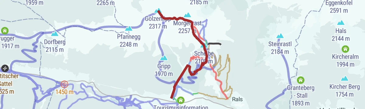
Golzentipp Nr. 157
5.4 km away, in Obertilliach
A climb on ski-area tracks above Obertilliach to the Conny-Alm at 2,050 m and the Jochsee above it, topping out near Scheibe.
- 9.1 km
- Distance
- 867 m
- Ascent
- 2 h 3 min
- Duration
- 24
- Check-ins
E-Bike & Klettersteig Porzeüberschreitung 2.589 m
5.9 km away, in Obertilliach
E-bike ride to the Porzehütte in the Carnic Alps, then the Porze crossing by the Ferrata Camoscio east ridge; exposed grassy sections demand sure feet despite the easy grade.
- 28.5 km
- Distance
- 1 500 m
- Ascent
- 14 h 44 min
- Duration
- 38
- Check-ins
Porze-Überschreitung Klettersteig
7.7 km away, in Obertilliach
Crossing of the Porze from the Porzehütte, with the Gamssteig and Austriaweg via ferratas as ways up and the Italian border scharte close beneath the summit.
- 9.7 km
- Distance
- 657 m
- Ascent
- 5 h 41 min
- Duration
- 35
- Check-ins
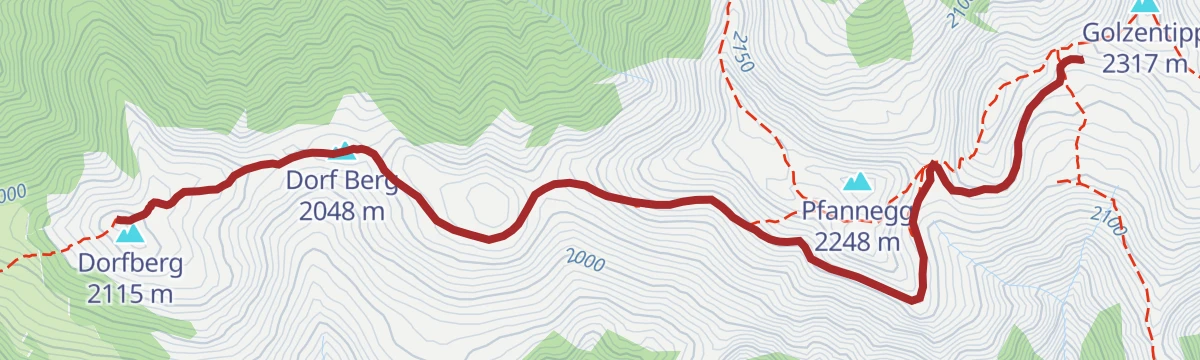
Bergwiesentrail Nr. 158
8 km away, in Obertilliach
An easy meadow singletrack over the Dorfberg above Obertilliach in East Tirol, with only a little climbing on it.
- 4.2 km
- Distance
- 119 m
- Ascent
- 29 min
- Duration
- 5
- Check-ins
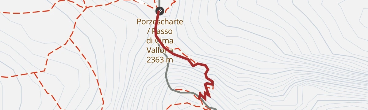
Klettersteig Austria-Weg
9.8 km away, in Obertilliach
A short secured climb at the Porzescharte on the Carnic ridge, where Osttirol meets Italy's Passo di Cima Vallona; the wired section gains about 100 m along the border crest.
- 287 m
- Distance
- 100 m
- Ascent
- 39 min
- Duration
- 7
- Check-ins
Klausenbergrunde Nr. 124
10.7 km away, in Assling
A circuit on forest roads above Assling in East Tyrol, reaching a small hut at just over 1,550 m before the descent.
- 19.3 km
- Distance
- 1 012 m
- Ascent
- 2 h 46 min
- Duration
Steinrastl 2.184 m
2.9 km away, in Obertilliach
Steady 850 m climb from the Tilliach valley to a 2,184 m grass summit above Obertilliach, with the Carnic main ridge filling the southern horizon.
- 6.5 km
- Distance
- 849 m
- Ascent
- 4 h 59 min
- Duration
Skitour Golzentipp über Moschtreit
5.4 km away, in Obertilliach
Ski route up Obertilliach's house mountain by the Moschtreit slopes, passing the frozen Jochsee before the final summit rise — an alternative to the Gripp line.
- 5.0 km
- Distance
- 882 m
- Ascent
- 882 m
- Descent
- 2 h 55 min
- Duration
- 21
- Check-ins
Pustertaler Höhenstraße
9.9 km away, in Assling
A paved high road above the valley floor linking Assling with Abfaltersbach, passing the Enderlinder on the climb.
- 29.0 km
- Distance
- 1 100 m
- Ascent
- 3 h 37 min
- Duration
Skitour Spitzköfele 2.314m
3.8 km away, in Obertilliach
Winter climb through the Rollertal to a pointed 2,314 m top on the ridge above Obertilliach; around 1,000 m of ascent for practised tourers.
- 6.8 km
- Distance
- 1 043 m
- Ascent
- 1 043 m
- Descent
- 3 h 34 min
- Duration
- 4
- Check-ins
No routes of this kind in Untertilliach yet.
The region's own picks

Featured route
Kircher Alm
From Untertilliach the track climbs past the game-feeding station to high pastures on the Kircher Berg — a quiet 900 m day above the Gail valley.
Planning a trip to Untertilliach?
Everything else Tyrol has, in one place


Take Untertilliach with you into the mountains
Every route on this page with 3D terrain, GPX navigation and offline maps — including the valleys with no signal.
Data sources
- Official website: osttirol.com ↗
- Routes and highlights: Osttirol Tourismus, Nassfeld-Pressegger See Tourismus
- Published as open data by the tourist boards named above.
- Region summary generated from the board's own material.
