

 Historic site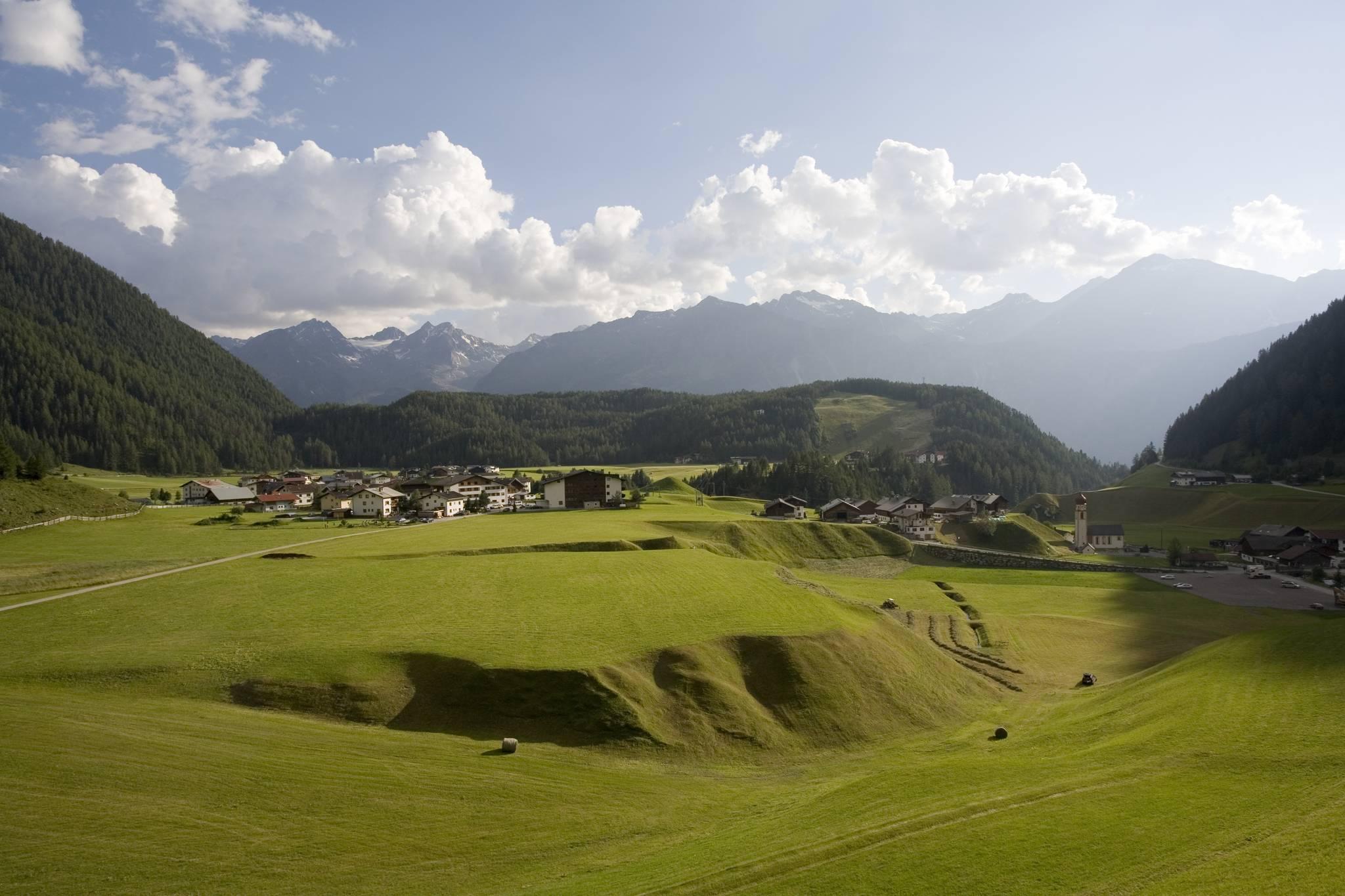







Curated by Ötztal Tourismus
Umhausen
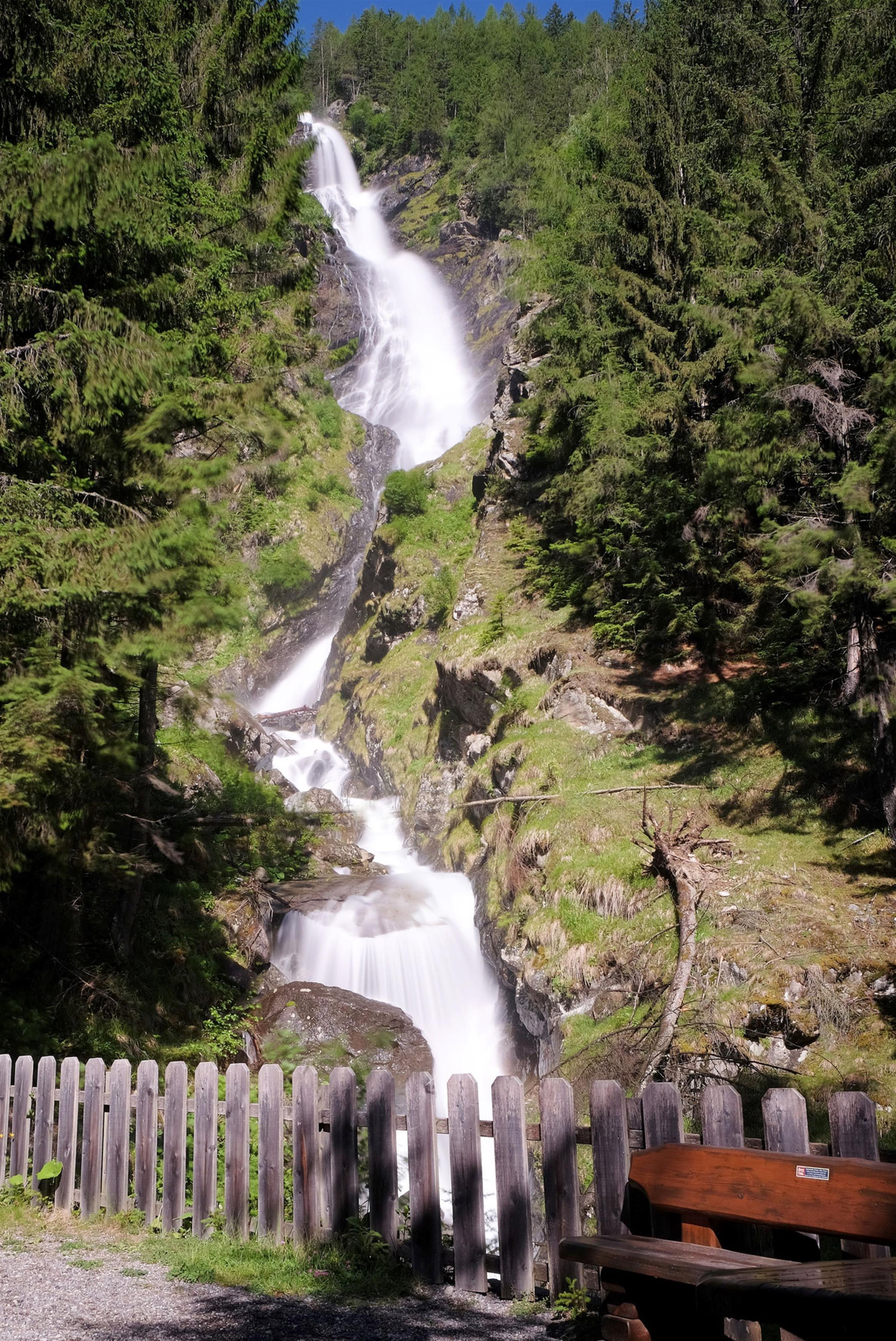
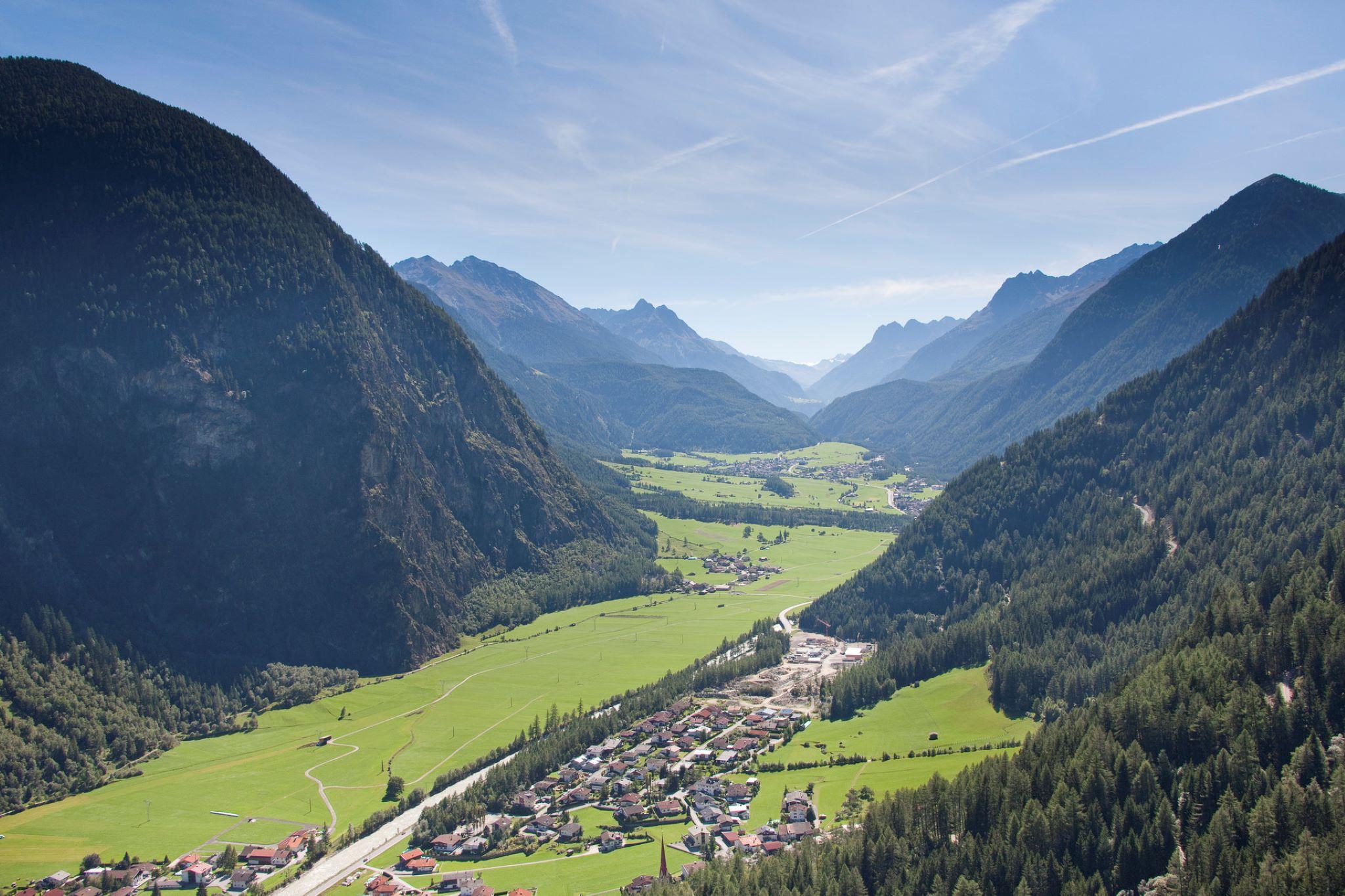
Front-Ötztal municipality taking in Tumpen, Niederthai and Köfels, where the Stuibenfall, Tirol's highest waterfall, plunges below a prehistoric rockslide.
- 24Highlights
- 86Routes
- Featured summit · Hochzeiger
Highlights
The 20 highest-rated · see the rest on oetztal.com ↗
Tumpener Wasserfall
A waterfall about 15 minutes' walk from Tumpen, with a small wooden platform at its foot and a path continuing up to the Armelen Hütte.
Armelen Hütte
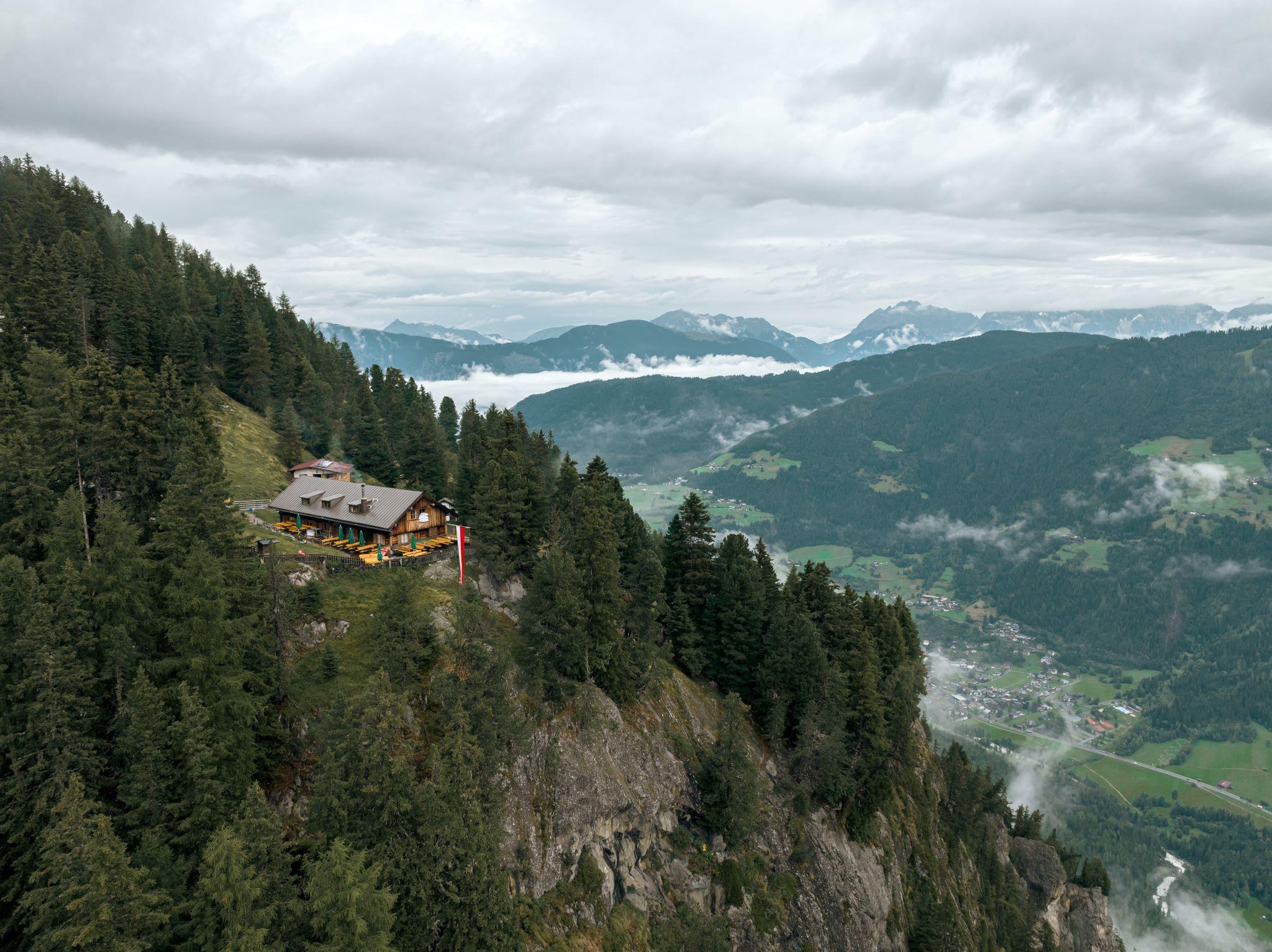
A hut about 2.5 hours above Tumpen by forest road, open from mid-May to late September and a starting point for the Erlanger Hütte and the Geigenkamm.
Erlanger Hütte
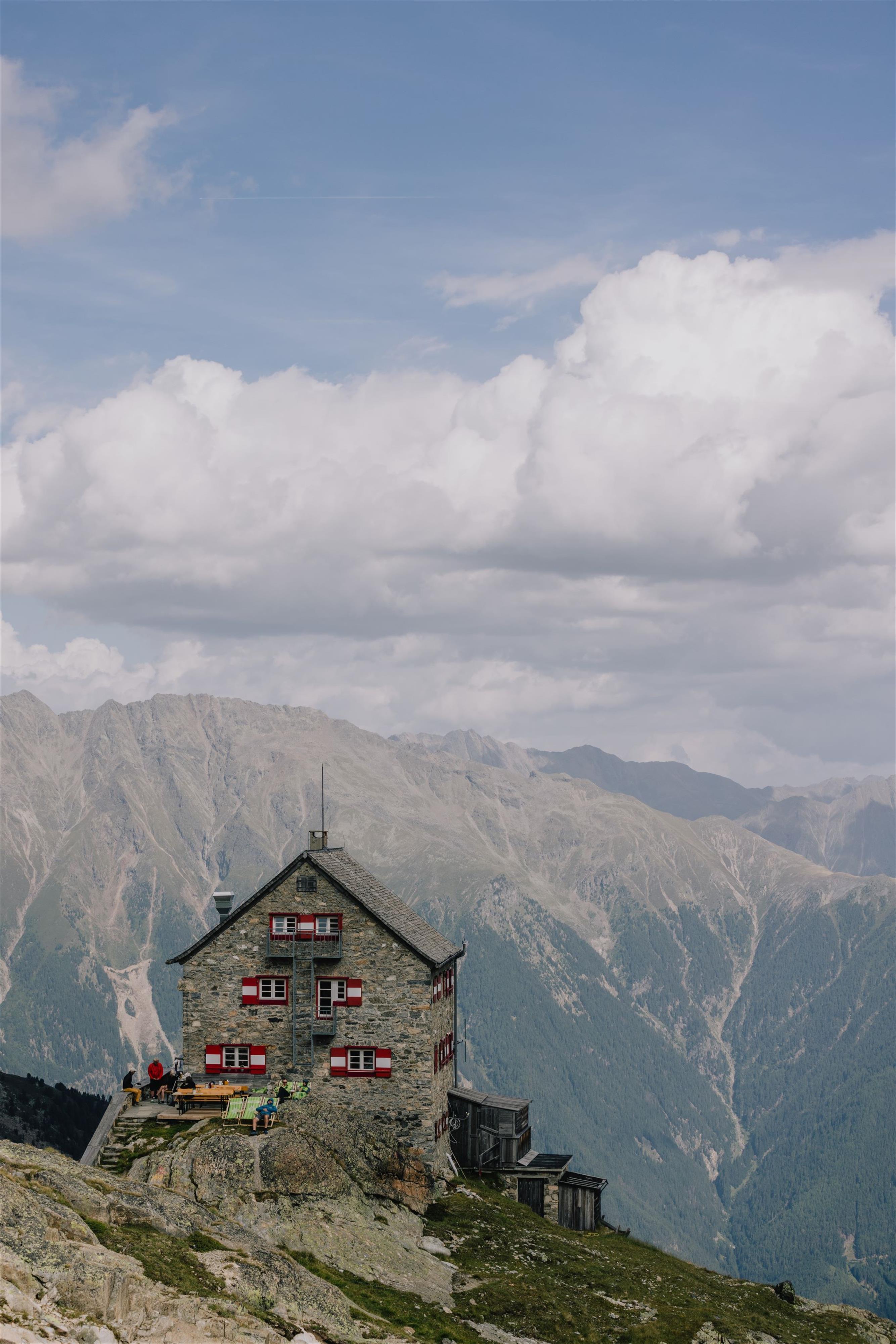
An Alpine Club hut in high alpine terrain beside the Wettersee, about five hours' walk from Umhausen, or less with a taxi to the Leierstalalm.
Frischmann Hütte
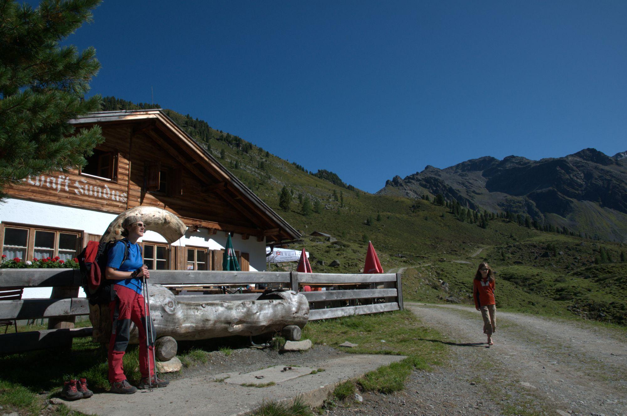
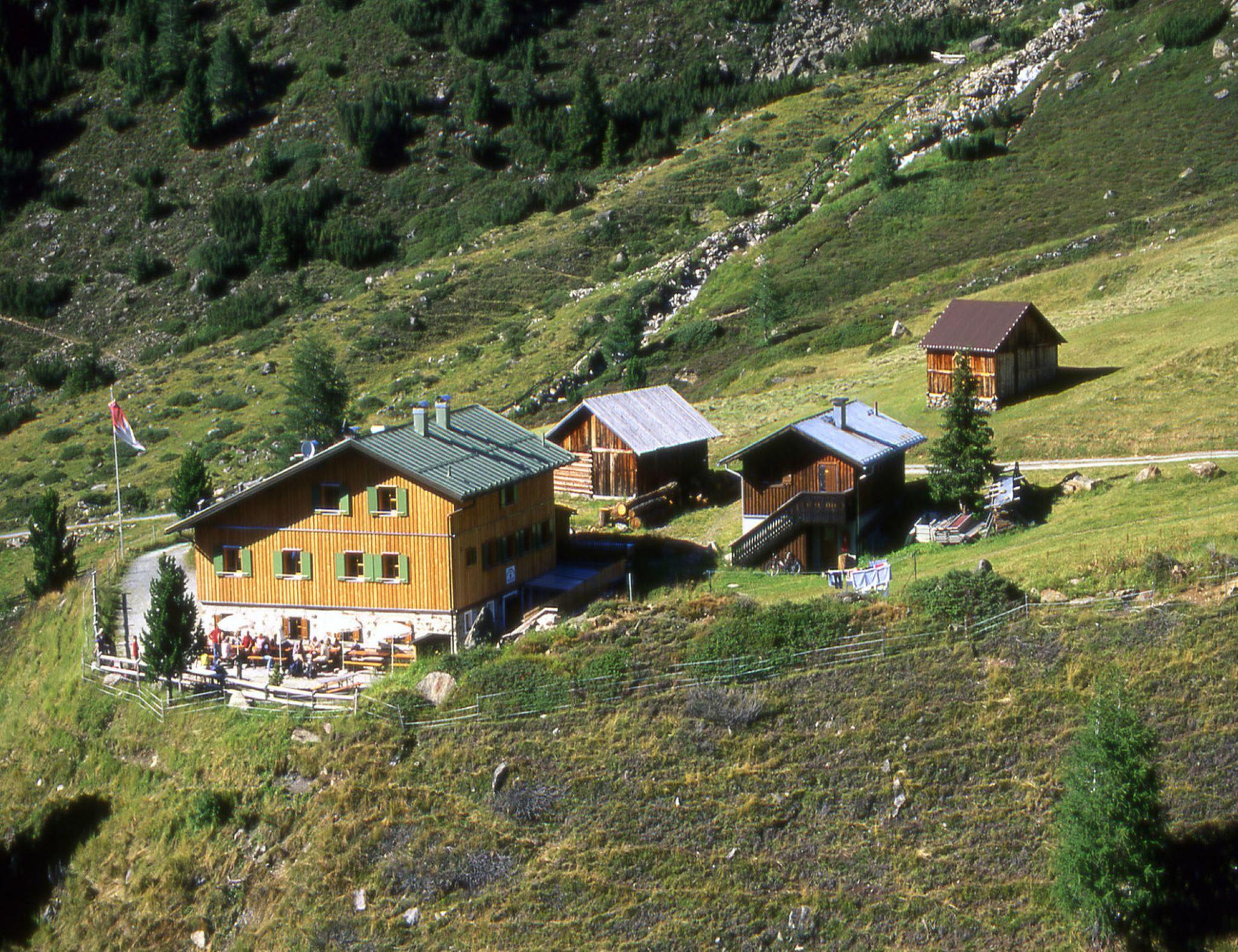
A hut at 2,192 m below the Fundusfeiler, about 3.5 hours from Umhausen by way of the Hintere Fundusalm.
Hintere Fundusalm
An alpine pasture at 1,964 m below the Fundusfeiler, about three hours' walk from Umhausen or reachable by taxi.
Kleinhorlachalm
An alpine pasture in the Horlachtal below the Schweinfurter Hütte, reached by forest road along the Horlachbach from Niederthai.
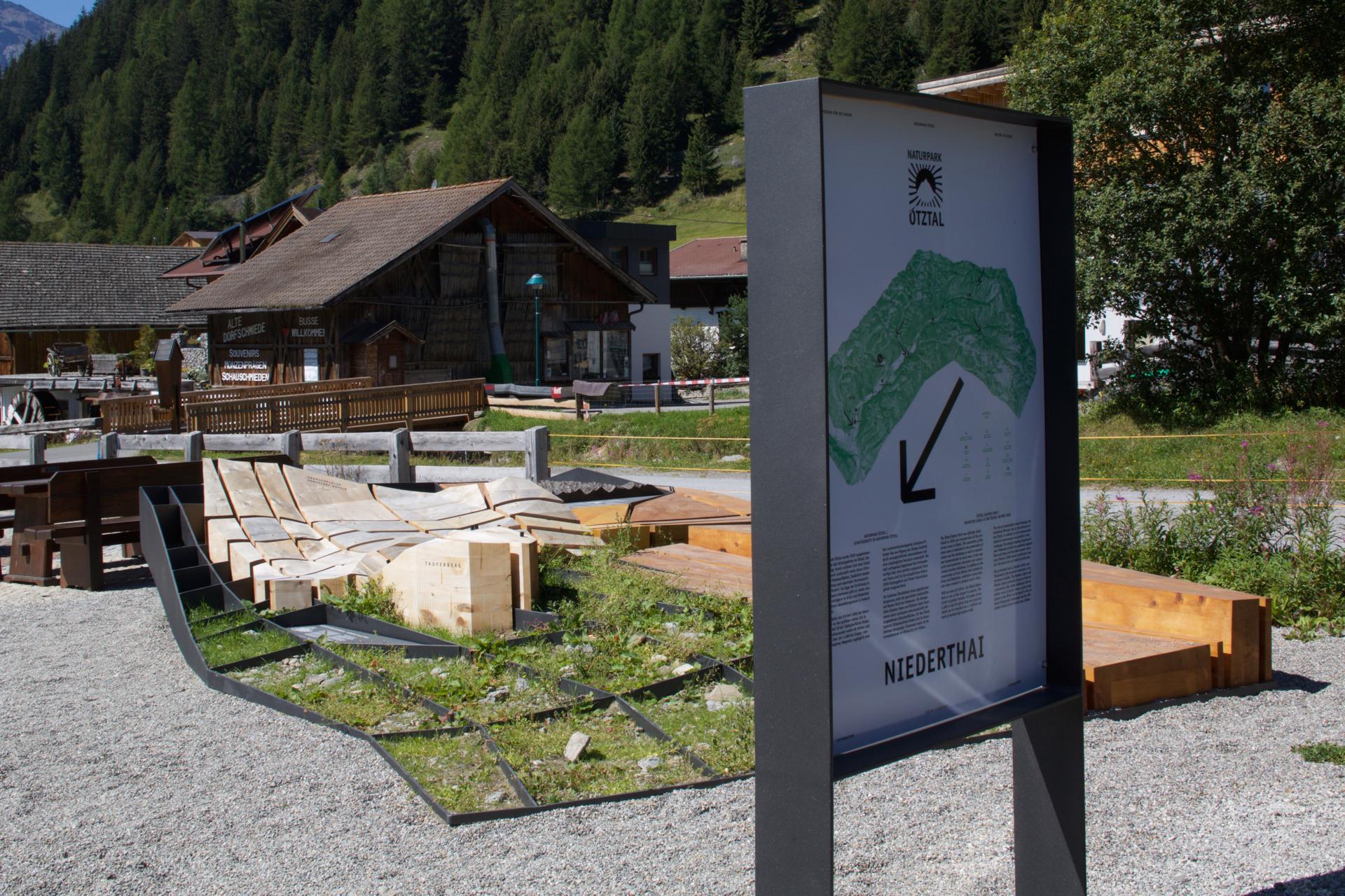
Naturpark Ötztal - Infopoint Niederthai | Riesiger Bergsturz und seine Folgen
An outdoor bronze landscape model at the Sennhof car park in Niederthai, explaining the Köfels rockslide — the largest in crystalline rock in the Alps.
Schweinfurter Hütte
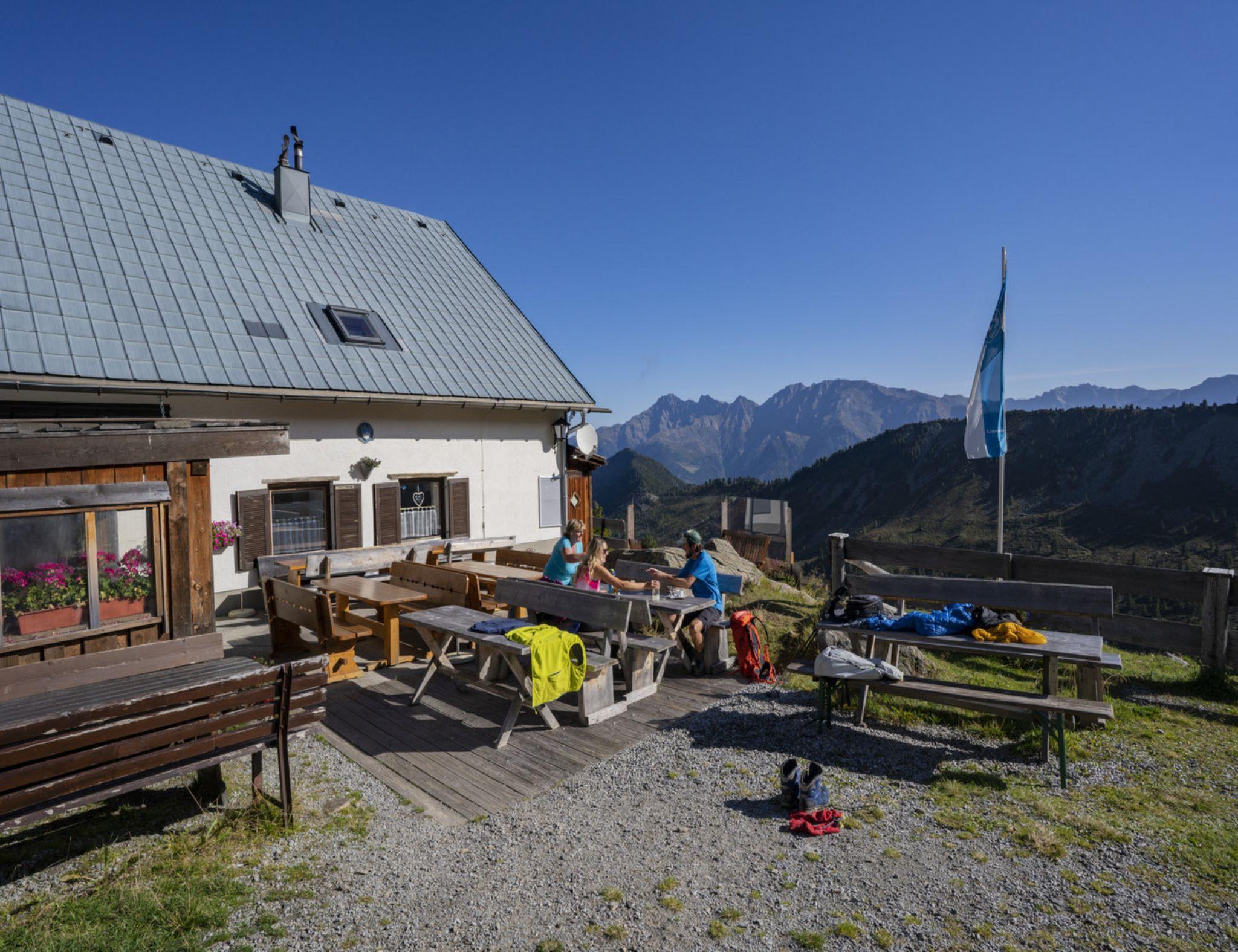
An Alpine Club hut in the Horlachtal, used in summer for peaks and traverses and in winter for ski touring and snowshoeing.
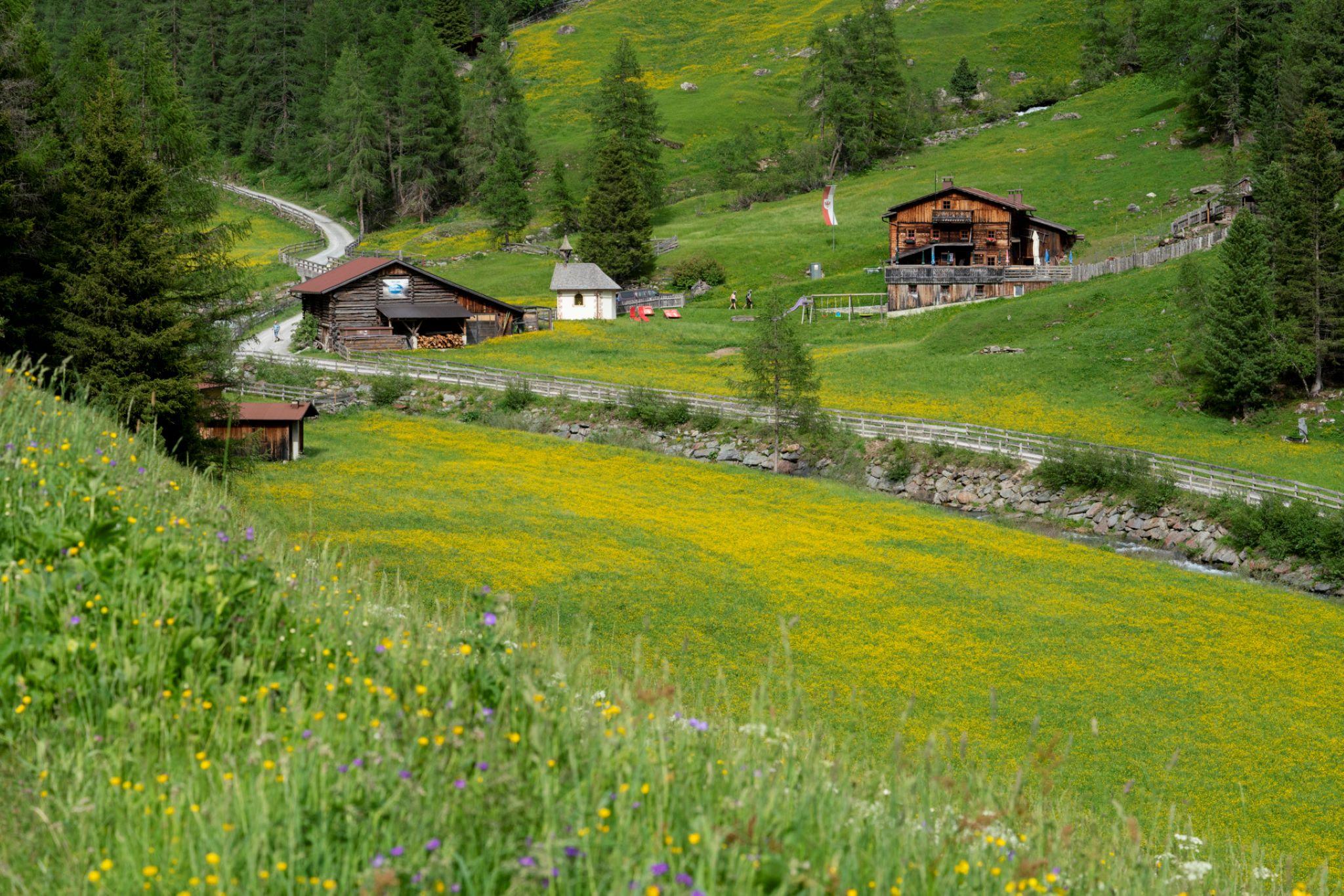
Vordere Tumpenalm
An alpine pasture at 1,831 m above Tumpen, reached by forest road from the village school.
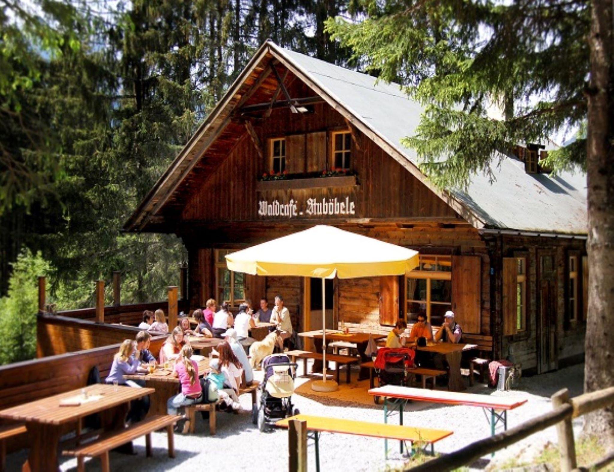
Waldcafe Stuböbele
A café on the path up to the Stuibenfall, serving traditional dishes on the way to Tirol's highest waterfall.
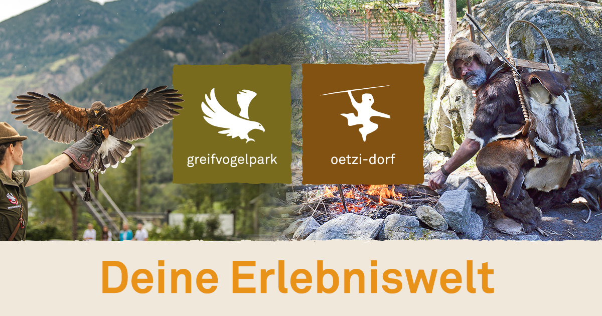
Ötzidorf & Greifvogelschau in Umhausen
An open-air archaeological park in Umhausen recreating Neolithic life from the era of Ötzi the Iceman, with a birds-of-prey show nearby.
Erlanger Hütte (2.541 m)
An Alpine Club hut at 2,541 m beside the Wettersee, on the ridge between the Pitztal and the Ötztal.
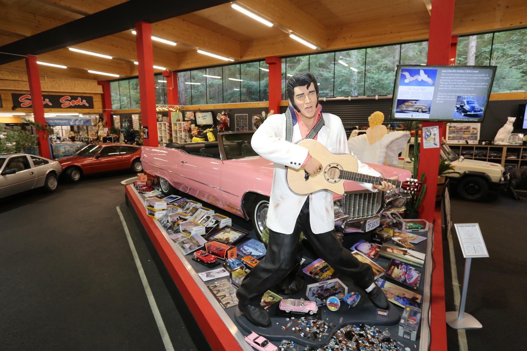
Oldtimer Museum 59
A private collection at Tumpen of vintage cars, mopeds and motorcycles, film vehicles and about 1,500 model cars.
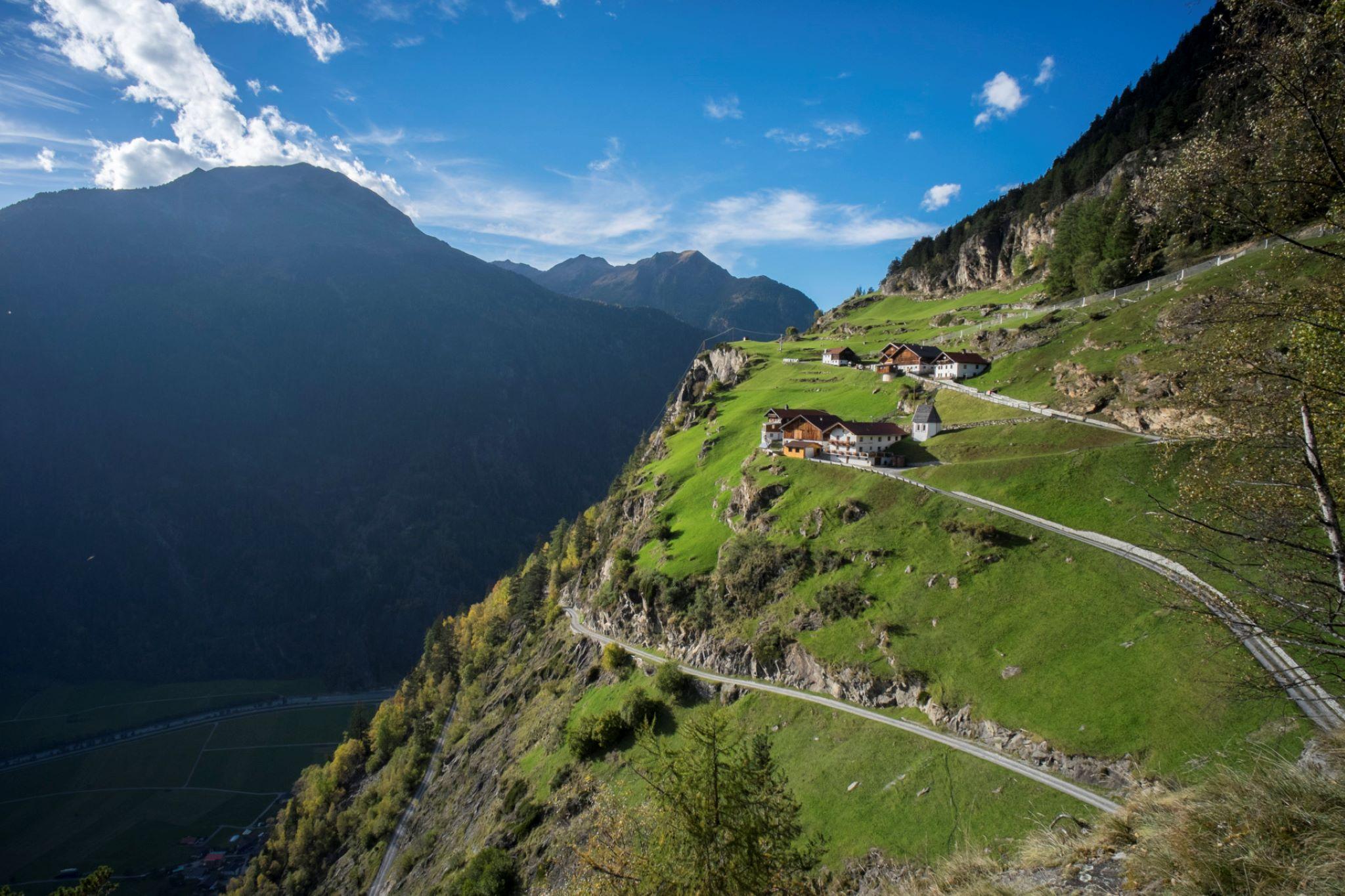
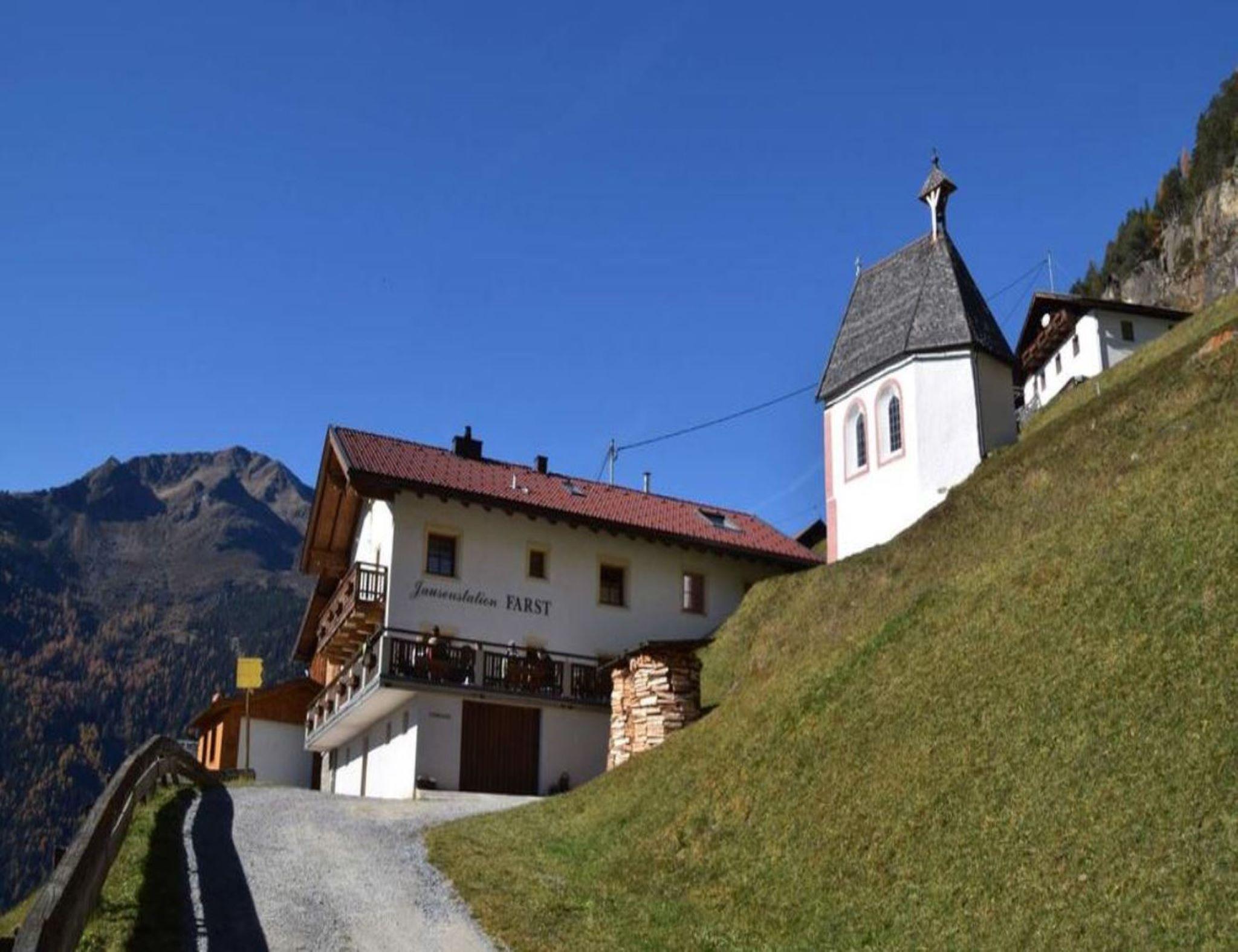
Farst - älteste Ansiedlung des Tales
One of the oldest settlements in the valley, on a shelf above the Engelswand cliff. The climb takes about an hour in steep switchbacks.
Wanderdorf Niederthai
A quiet village on a sunny plateau at about 1,550 m, with walking routes starting at the door, including the Horlachbach path.
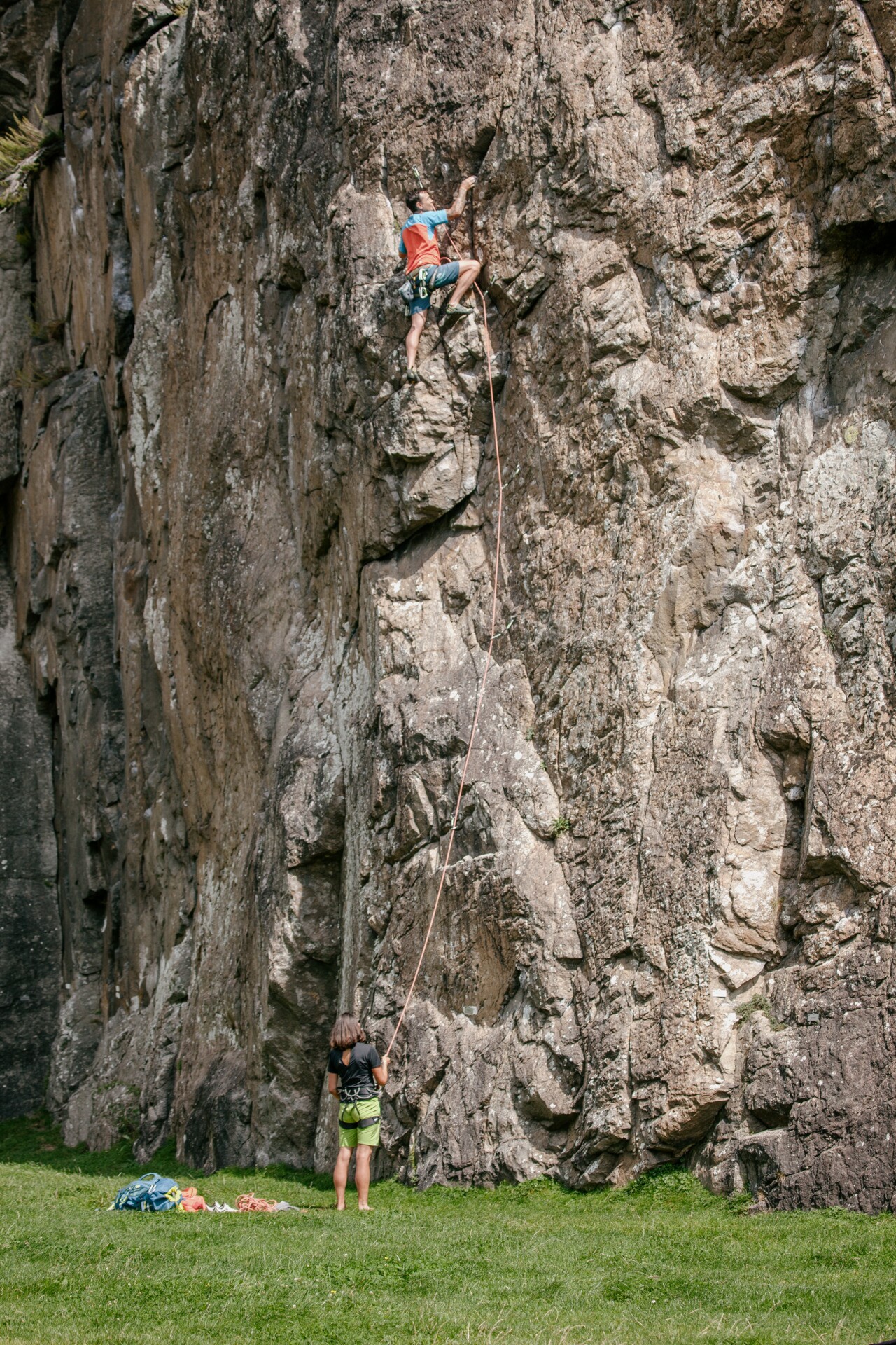
Engelswand
A crag at Tumpen with a broad meadow at its foot and a wide choice of routes; the high wall drops stones, so care is needed.
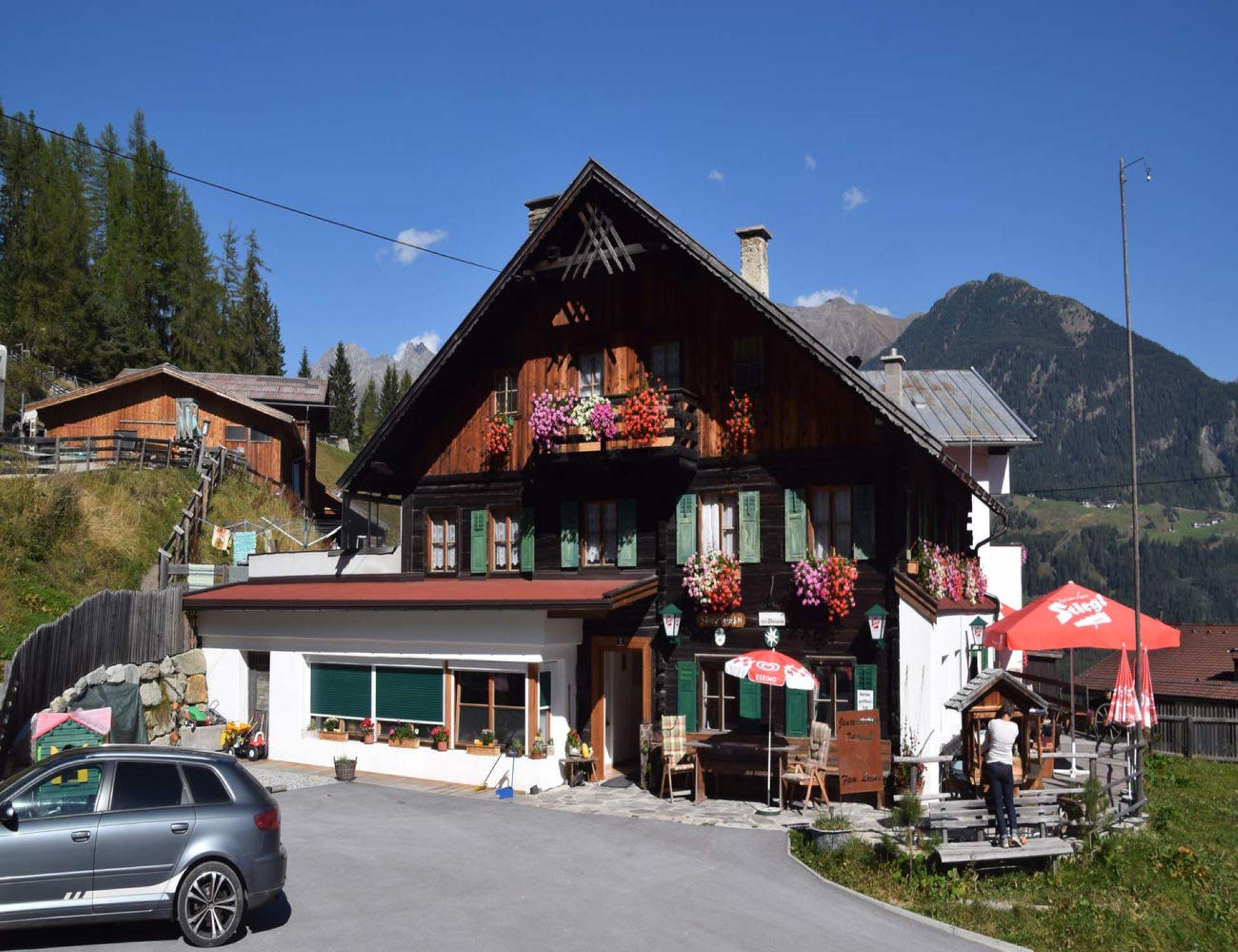
Jausenstation Edelweiß
A snack station above Umhausen with a sun terrace, serving plain cooking and produce from its own farm.
Jausenstation Farst
A year-round snack station at Farst, one of the valley's oldest settlements, on the shelf above the Engelswand cliff.
Larstigalm
An alpine pasture at 1,777 m in the Horlachtal, reached from the Sennhof car park at Niederthai.
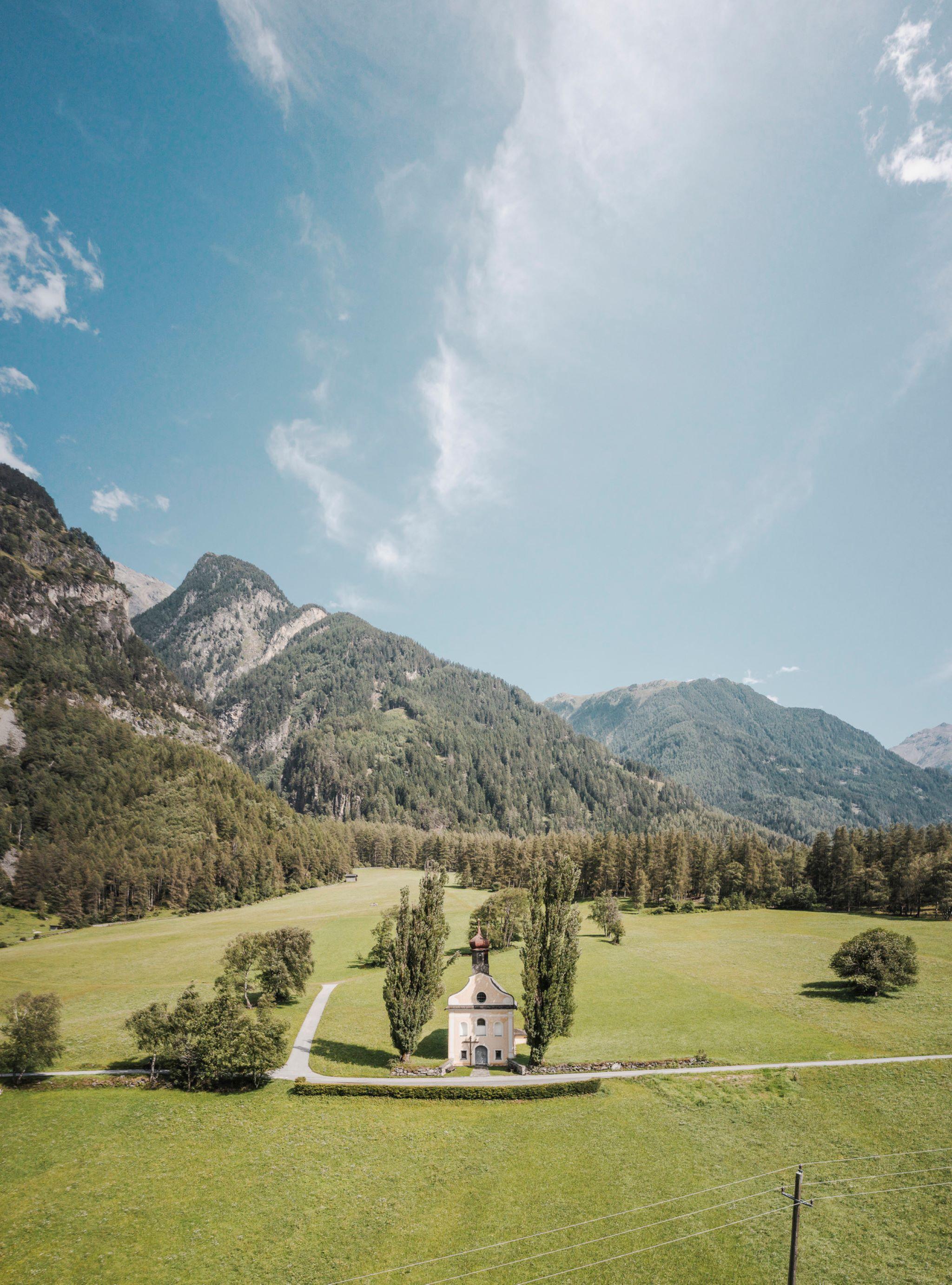
Kapelle Maria Schnee
A large three-bay Baroque chapel of 1797 with curved gables, an onion-domed ridge turret and Rococo frescoes by Gabriel Theunig.
Nothing of this kind in Umhausen.
Routes
50 routes, an even mix of activities · see the rest on oetztal.com ↗
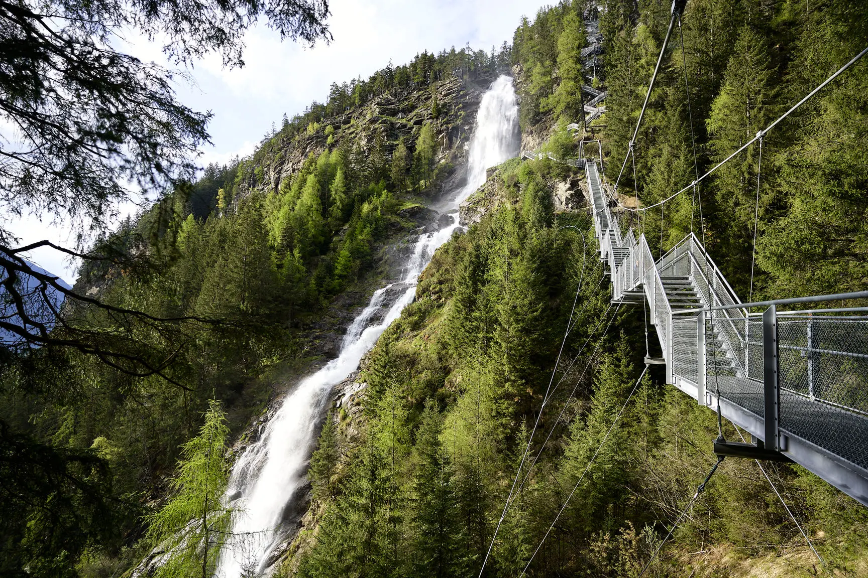
Klettersteig Stuibenfall | Umhausen
A via ferrata directly beside the Stuibenfall, Tirol's highest waterfall — mostly grade B with two short C overhangs, extra footholds for children, and a descent over the steps and suspension bridge.
- 1.5 km
- Distance
- 171 m
- Ascent
- 57 min
- Duration
- 27
- Check-ins
 Waldcafe Stuböbele 1 150 m
 Ur-Forellen 1 087 m
- Badesee Umhausen 1 076 m
- Kneipphäusl 1 084 m
- Pizzeria Al Dente 1 077 m
Schatzsuche Umhausen Stuibenfall Runde
A geocache loop around Umhausen: up past the Kneipp facility onto the Arzwinkel Waalweg toward the Stuibenfall, returning by the Steppsteig into the village.
- 5.5 km
- Distance
- 122 m
- Ascent
- 1 h 35 min
- Duration
- 26
- Check-ins
- Waldcafe Stuböbele 1 150 m
- Ur-Forellen 1 087 m
- Badesee Umhausen 1 076 m
- Kneipphäusl 1 084 m
- Ötztal Tourismus 1 030 m
Entdeckerweg - Erlebe den Stuibenfall
A discovery trail up beside the Stuibenfall showing how water has shaped Umhausen — historic irrigation systems, naturally grown bridges and the climb alongside Tirol's biggest waterfall.
- 2.7 km
- Distance
- 388 m
- Ascent
- 1 h 33 min
- Duration
- 27
- Check-ins
- Waldcafe Stuböbele 1 150 m
- Ur-Forellen 1 087 m
- Badesee Umhausen 1 076 m
- Kneipphäusl 1 084 m
- Pizzeria Al Dente 1 077 m
Wilhelm-Oltrogge-Weg Hochoetz
Serious high traverse from Hochoetz past the Bielefelder Hütte and its ruined predecessor onto an exposed, demanding path below the Hochreichkopf, ending at the Schweinfurter Hütte.
- 13.1 km
- Distance
- 1 574 m
- Ascent
- 9 h 21 min
- Duration
- 50
- Check-ins
Skitour Brand 2.283m - Umhausen-Niederthai
A moderate ski tour from the Sennhof car park in Niederthai: groomed forest road into the Grastal, then a steepening woodland climb to a marked stone with memorial plaque at 2,283 m.
- 3.5 km
- Distance
- 783 m
- Ascent
- 41 m
- Descent
- 2 h 7 min
- Duration
Kraspesspitze
Classic Sellrain ski summit reached from Kühtai over the Finstertaler Scharte - a long day with almost 1,200 m of climbing and a high traverse above the reservoir.
- 7.9 km
- Distance
- 1 167 m
- Ascent
- 1 167 m
- Descent
- 4 h 1 min
- Duration
- 31
- Check-ins
6048 Stuibenfall
A very short easy ride from the Umhausen tourist office up to the Waldcafe Stuböbele at 1,150 m, at the foot of the waterfall.
- 1.8 km
- Distance
- 119 m
- Ascent
- 14 min
- Duration
- 8
- Check-ins
601 Schweinfurter Hütte
A forest-road climb from Umhausen past Jausenstation Larstighof and the Horlachalmen to the Schweinfurter Hütte at 2,028 m.
- 12.7 km
- Distance
- 531 m
- Ascent
- 1 h 37 min
- Duration
- 24
- Check-ins
Tour zum Rettenbachferner
A very long climb from the Ötztal up towards the Rettenbachferner above Sölden, topping out at the Restaurant Rettenbach at 2,666 m.
- 62.5 km
- Distance
- 2 326 m
- Ascent
- 7 h 5 min
- Duration
- 129
- Check-ins
Ötztal Radweg Etappe 3: Umhausen - Längenfeld
A middle stage of the valley cycle route, gaining height gently past sport-climbing crags on the way up the Ötz valley.
- 13.7 km
- Distance
- 289 m
- Ascent
- 1 h 25 min
- Duration
- 3
- Check-ins
- Ötztal Tourismus 1 030 m
- Fischteichanlage Quellfische Mrak 1 152 m
Rennradtour kleiner Ötztaler - die 4 Bergdörfer Tour
A road circuit of the four mountain villages above the Ötztal, 2,200 m of climbing in eighty kilometres.
- 79.9 km
- Distance
- 1 877 m
- Ascent
- 8 h 52 min
- Duration
- 54
- Check-ins
Arzwinkel Waalweg
A gentle loop above Umhausen along a historic irrigation channel: a flat path beside the little watercourse, past old water wheels in the Tauferberg forest.
- 2.1 km
- Distance
- 144 m
- Ascent
- 57 min
- Duration
- 21
- Check-ins
- Ur-Forellen 1 087 m
- Badesee Umhausen 1 076 m
- Kneipphäusl 1 084 m
- Pizzeria Al Dente 1 077 m
Rundwanderung Stuibenfall Umhausen
A full circuit at Umhausen: along the Arzwinkel Waalweg to the foot of the Stuibenfall, up some 700 steps and an 80 m suspension bridge beside the falls, back over the Höhenweg and Steppsteig.
- 9.2 km
- Distance
- 628 m
- Ascent
- 4 h 11 min
- Duration
- 27
- Check-ins
- Waldcafe Stuböbele 1 150 m
- Ur-Forellen 1 087 m
- Badesee Umhausen 1 076 m
- Kneipphäusl 1 084 m
- Pizzeria Al Dente 1 077 m
Kühtai - Finstertaler Scharte - Schweinfurter Hütte
Crossing from Kühtai past the Finstertal reservoir and over the Finstertaler Scharte to the Schweinfurter Hütte in the Horlachtal — a demanding hut link in the Stubai Alps.
- 18.1 km
- Distance
- 1 677 m
- Ascent
- 10 h 28 min
- Duration
- 49
- Check-ins
Hochreichkopf 3.010m - Umhausen-Niederthai
A long winter approach through the Horlachtal past the Kleinhorlachalm and the Finstertaler Sennhütte, then up the eastern basin to the summit ridge and a skis-off finish at 3,010 m.
- 9.0 km
- Distance
- 1 447 m
- Ascent
- 0 m
- Descent
- 4 h 12 min
- Duration
- 20
- Check-ins
6043 Umhauser Familienrunde
A short, easy circuit on the valley floor at Umhausen, starting from the tourist office in the village centre.
- 5.4 km
- Distance
- 78 m
- Ascent
- 33 min
- Duration
- 2
- Check-ins
656 Frischmannhütte
A mountain-bike route above Umhausen past the Vordere and Hintere Fundusalm and the Fundussee to the Frischmannhütte at 2,192 m.
- 10.2 km
- Distance
- 43 m
- Ascent
- 1 h 22 min
- Duration
- 7
- Check-ins
Gravelbike Tour - Ötztal Plus
A long gravel ride through the lower Ötztal, passing the Habicher See and the Waldcafe Stuböbele high on the valley side.
- 63.2 km
- Distance
- 889 m
- Ascent
- 6 h 27 min
- Duration
- 22
- Check-ins
Ötztal Radweg Etappe 2: Oetz - Umhausen
A short stage of the valley cycle route, leaving the lower Ötztal and climbing past the Armelenhof into the next step of the valley.
- 7.8 km
- Distance
- 193 m
- Ascent
- 48 min
- Duration
Rennradtour - Sölden - Area 47
A road run down the length of the Ötztal from Sölden to Area 47 at the valley mouth, and back again.
- 76.4 km
- Distance
- 801 m
- Ascent
- 7 h 32 min
- Duration
- 47
- Check-ins
Jausenstation Wiesle - Niederthai
An easy walk from the Nordic Sports Arena in Niederthai over the Mauslesattel and down through dense forest to the Wiesle snack station on the Ötztal's sunny terrace.
- 2.4 km
- Distance
- 72 m
- Ascent
- 47 min
- Duration
- 6
- Check-ins
Wanderung Stuibenfall - Umhausen
From Umhausen a broad path passes the Ötzi-Dorf and the birds-of-prey park to the base of the Stuibenfall, then some 700 steps and an exposed 80 m suspension bridge climb beside the falls.
- 2.9 km
- Distance
- 451 m
- Ascent
- 1 h 50 min
- Duration
- 27
- Check-ins
- Waldcafe Stuböbele 1 150 m
- Ur-Forellen 1 087 m
- Badesee Umhausen 1 076 m
- Kneipphäusl 1 084 m
- Pizzeria Al Dente 1 077 m
Panorama Marsch - Längenfeld/Gries
Long crossing from Gries via the Winnebachseehütte and the stony Zwieselbachjoch to the Schweinfurter Hütte, descending the Zwieselbachtal and finishing on a broad forest road to Niederthai.
- 20.9 km
- Distance
- 1 329 m
- Ascent
- 9 h 6 min
- Duration
- 46
- Check-ins
Zwieselbacher Rosskogel 3.081 - Umhausen-Niederthai
A steep ski tour from the Schweinfurter Hütte into the Zwieselbachtal and up the Fidaskar; the last 200 m are usually bootpacked before a broad plateau leads to the south summit at 3,081 m.
- 3.2 km
- Distance
- 1 057 m
- Ascent
- 22 m
- Descent
- 2 h 39 min
- Duration
- 17
- Check-ins
MTB Parcours Umhausen
A short practice course for mountain bikers on the valley floor at Umhausen in the Ötztal.
- 349 m
- Distance
- 0 m
- Ascent
- 2 min
- Duration
6044 Horlachtalrunde
A short mountain-bike round in the Horlachtal above Umhausen, reaching Jausenstation Larstighof and the Mataulift.
- 7.5 km
- Distance
- 279 m
- Ascent
- 56 min
- Duration
- 5
- Check-ins
Gravelbike Tour Ötztal Lite mit Stuibenfallblick
A long gravel ride up the Ötztal from the valley mouth to around 1,150 m, with the Stuibenfall waterfall in view along the way.
- 45.6 km
- Distance
- 766 m
- Ascent
- 4 h 46 min
- Duration
- 10
- Check-ins
- Waldcafe Stuböbele 1 150 m
- Appartement Fritz 1 058 m
- Ötztal Tourismus 1 030 m
- INFO 797 m
- River Haus 694 m
- Badeteich Haderlehn 1 012 m
656 Frischmannhütte
The descent from the Frischmannhütte to Umhausen, 11 km losing 1,245 m from 2,187 m to the valley floor.
- 10.2 km
- Distance
- 43 m
- Ascent
- 1 h 22 min
- Duration
Open route Roland GrünerÖtztal Radweg Gesamtstrecke (11)
The full valley cycle route from the Inn at Haiming all the way up to Sölden, gaining height steadily over 60 km.
- 60.2 km
- Distance
- 906 m
- Ascent
- 5 h 57 min
- Duration
- 38
- Check-ins
Waalweg Fundustal - Umhausen
From the Hintere Fundusalm to the Frischmannhütte, then round via the Köfler Waalweg — an old irrigation channel running through granite debris above the tree line — to the Köfler Scharte and back.
- 6.0 km
- Distance
- 242 m
- Ascent
- 2 h
- Duration
- 6
- Check-ins
- Frischmannhütte 2 192 m
- Hintere Fundusalm 1 964 m
 Schartle 2 085 m
- Fundussee 1 963 m
Zwieselbachalm - Niederthai
Up the Horlachtal from Niederthai past the Larstigalm and both Horlach alms to the Schweinfurter Hütte, then another twenty minutes into the Zwieselbachtal to the day's goal pasture.
- 6.4 km
- Distance
- 508 m
- Ascent
- 2 h 20 min
- Duration
- 25
- Check-ins
Dortmunder Hütte - Schweinfurter Hütte
Alpine stage from Kühtai past the Dortmunder Hütte and along the Finstertal reservoir, cresting the Finstertaler Scharte and dropping through the Weites Kar to the Schweinfurter Hütte.
- 9.9 km
- Distance
- 875 m
- Ascent
- 5 h 22 min
- Duration
- 40
- Check-ins
Finstertaler Schartenkopf 2855m - Umhausen-Niederthai
A ski tour deep into the Horlachtal past the Larstigalm, branching onto the Gubener Weg just before the Schweinfurter Hütte and climbing over the Finstertaler Scharte to the 2,855 m top.
- 9.0 km
- Distance
- 1 296 m
- Ascent
- 0 m
- Descent
- 3 h 52 min
- Duration
- 14
- Check-ins
635 Alte Niederthaier Straße
A steady climb on the old road out of Umhausen, up the hillside to the plateau village of Niederthai.
- 8.7 km
- Distance
- 562 m
- Ascent
- 1 h 27 min
- Duration
- 2
- Check-ins
695 Wurzbergrunde
A long forest-road circuit above Umhausen, climbing to the Wurzbergalm and the small huts clustered at about 1,570 m.
- 20.4 km
- Distance
- 673 m
- Ascent
- 2 h 27 min
- Duration
- 6
- Check-ins
Rennradtour- Umhausen - rund um Niederthai
A road climb from the Ötztal floor up to Niederthai and back, with the Stuibenfall viewpoint and the Wolfsegg and Matau lifts along the way.
- 19.8 km
- Distance
- 671 m
- Ascent
- 2 h 23 min
- Duration
- 8
- Check-ins
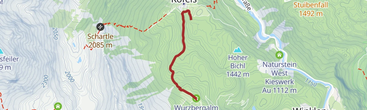
Wurzbergalm - Umhausen/Köfels
A short forest walk from the car park in Köfels past the sawmill, following signs on an even track past a hunting hut and slightly downhill to the Wurzbergalm.
- 2.4 km
- Distance
- 202 m
- Ascent
- 54 min
- Duration
- 6
- Check-ins
- Wasserbecken 1 375 m
- s' Jaga Häusl 1 501 m
- Agnes und Erich's Hütte 1 573 m
- Stallungen 1 572 m
- Wurzbergalm 1 573 m
Umhausen rund Um
A three-part educational loop at Umhausen: the Waalweg on historic water use, the Steppsteig on forest life, and the Wienersteig on the legend-laden Hirschberg and natural hazards.
- 8.1 km
- Distance
- 535 m
- Ascent
- 3 h 36 min
- Duration
- 20
- Check-ins
- Waldcafe Stuböbele 1 150 m
- Ur-Forellen 1 087 m
- Kneipphäusl 1 084 m
- Ötztal Tourismus 1 030 m
Schweinfurter Hütte - Winnebachseehütte - Umhausen-Niederthai
A long crossing from Niederthai past the Schweinfurter Hütte and through the Zwieselbachtal to the 2,868 m Zwieselbachjoch, then steeply down over scree into the Winnebachkar to the Winnebachseehütte.
- 16.3 km
- Distance
- 1 350 m
- Ascent
- 7 h 5 min
- Duration
- 35
- Check-ins
Hohe Wasserfalle 3003m - Umhausen-Niederthai
A winter route from Niederthai along the Horlachbach to the Kleinhorlachalm, then left into the Finstertal and on to the 3,003 m summit before the long run back to the valley.
- 9.5 km
- Distance
- 1 452 m
- Ascent
- 0 m
- Descent
- 4 h 16 min
- Duration
- 13
- Check-ins
6047 vordere Tumpenalm - Armelenhütte
A steep climb on forest roads above Tumpen, past the Tumpener Wasserfall, to the Armelenhütte and the Vordere Tumpen Alm.
- 14.0 km
- Distance
- 963 m
- Ascent
- 1 h 56 min
- Duration
- 4
- Check-ins
6047 vordere Tumpenalm - Armelenhütte
From the Mure car park at Umhausen to the vordere Tumpenalm and the Armelenhütte, 1,165 m of climbing in 15.1 km.
- 14.0 km
- Distance
- 974 m
- Ascent
- 1 h 57 min
- Duration
Open route ÖtztalLarstigalm - Niederthai
An easy, pram-friendly forest road along the Horlachbach from Niederthai to the Larstigalm, where a sun terrace, Ötztal cooking and a playground wait after about an hour.
- 3.2 km
- Distance
- 231 m
- Ascent
- 1 h 7 min
- Duration
- 5
- Check-ins
Schweinfurter Hütte - Niederthai
The classic Horlachtal approach from Niederthai: a gently rising forest road along the Horlachbach past the Larstigalm to the Schweinfurter Hütte, with the Bergmahderweg as a return variant.
- 5.9 km
- Distance
- 500 m
- Ascent
- 2 h 16 min
- Duration
- 19
- Check-ins
Sellrainer Hüttenrunde: 5. Etappe
Fifth stage of the Sellrainer Hüttenrunde: from the Schweinfurter Hütte over the Hochreich- and Niederreichscharte — topping the Lauser en route — to the Neue Bielefelder Hütte.
- 12.3 km
- Distance
- 1 363 m
- Ascent
- 8 h 14 min
- Duration
- 35
- Check-ins
Kraspesspitze 2.954m - Umhausen-Niederthai
A 10 km ski approach over the Horlachtalweg toward the Schweinfurter Hütte, then up the Gubener Weg toward the Weites Kar, finishing over the summit slope at 2,954 m.
- 10.0 km
- Distance
- 1 514 m
- Ascent
- 109 m
- Descent
- 4 h 31 min
- Duration
- 10
- Check-ins
Gravelbike Tour Ötztal Lite mit Stuibenfallblick
A gravel round of 49.8 km from Ötztal-Bahnhof up the valley to Umhausen and back, 1,097 m of climbing with the Stuibenfall in view.
- 45.6 km
- Distance
- 763 m
- Ascent
- 4 h 46 min
- Duration
Open route Sabine WatsonWanderweg Panoramaparkplatz zum Wiesle - Niederthai
An easy signed forest road from the Panoramaparkplatz near Niederthai — with its Stuibenfall viewing platform — rolling gently through the woods to the Wiesle snack station and back.
- 2.3 km
- Distance
- 115 m
- Ascent
- 49 min
- Duration
- 5
- Check-ins
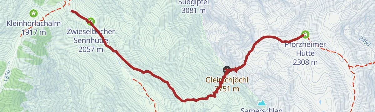
Sellrainer Hüttenrunde: 4. Etappe
Fourth stage of the Sellrainer Hüttenrunde: from the Pforzheimer Hütte over the Gleirschjöchl and down the Zwieselbach side to the Schweinfurter Hütte.
- 5.9 km
- Distance
- 459 m
- Ascent
- 2 h 58 min
- Duration
- 19
- Check-ins
Mittelstation - Kreuzjöchlspitz zum Schafhimmel – Ludwigsburger Hütte - Zaunhof
A long ridge day from the Hochzeiger mid-station over the Kreuzjöchlspitze to the Schafhimmel, dropping past the Lehnerjoch and the Grosssee to the Ludwigsburger Hütte and down to Zaunhof.
- 15.3 km
- Distance
- 1 059 m
- Ascent
- 8 h 33 min
- Duration
- 32
- Check-ins
No routes of this kind in Umhausen yet.
The region's own picks

Featured route
Schatzsuche Umhausen Stuibenfall Runde
A geocache loop around Umhausen: up past the Kneipp facility onto the Arzwinkel Waalweg toward the Stuibenfall, returning by the Steppsteig into the village.
Planning a trip to Umhausen?
Everything else Tyrol has, in one place


Take Umhausen with you into the mountains
Every route on this page with 3D terrain, GPX navigation and offline maps — including the valleys with no signal.
Data sources
- Official website: oetztal.com ↗
- Routes and highlights: Ötztal Tourismus, Innsbruck Tourismus, Tourismusverband Pitztal, St. Anton am Arlberg, Climbers Paradise *Neu*, Imst Tourismus, Roland Grüner, Ötztal, Sabine Watson
- Published as open data by the tourist boards named above.
- Region summary generated from the board's own material.
