













Curated by Partschins - Rabland - Töll
Ultimo/Ulten
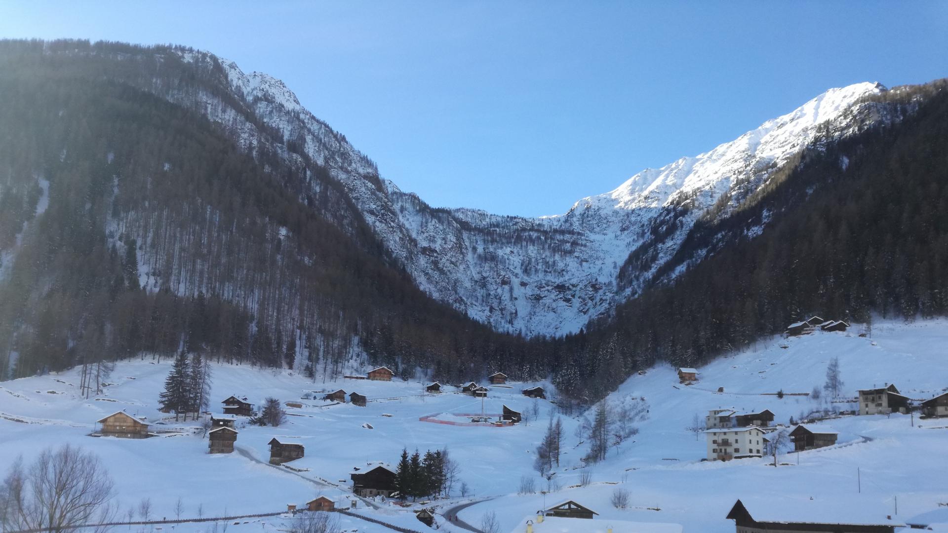
A long valley south-west of Merano ending at the Schwemmalm lifts and its high lakes, below the Ortles-Cevedale.
- 5Highlights
- 47Routes
- Featured summit · Gleck - Collecchio
Highlights
10 from neighbouring places
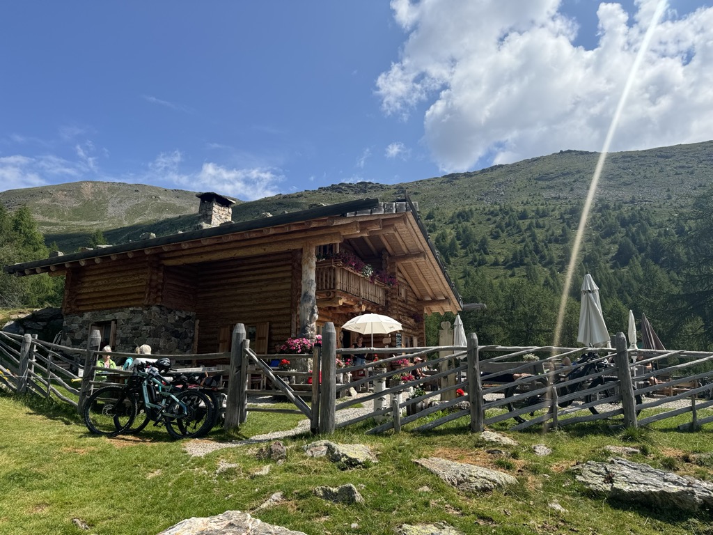
Malga Fiecht
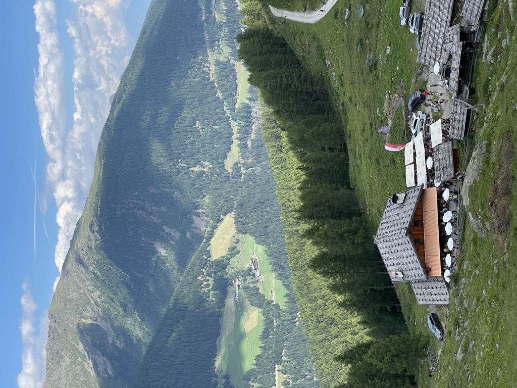
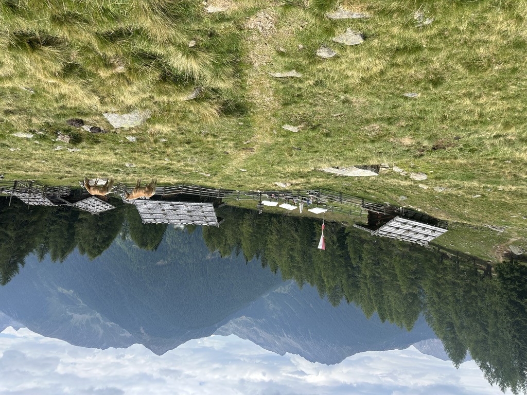
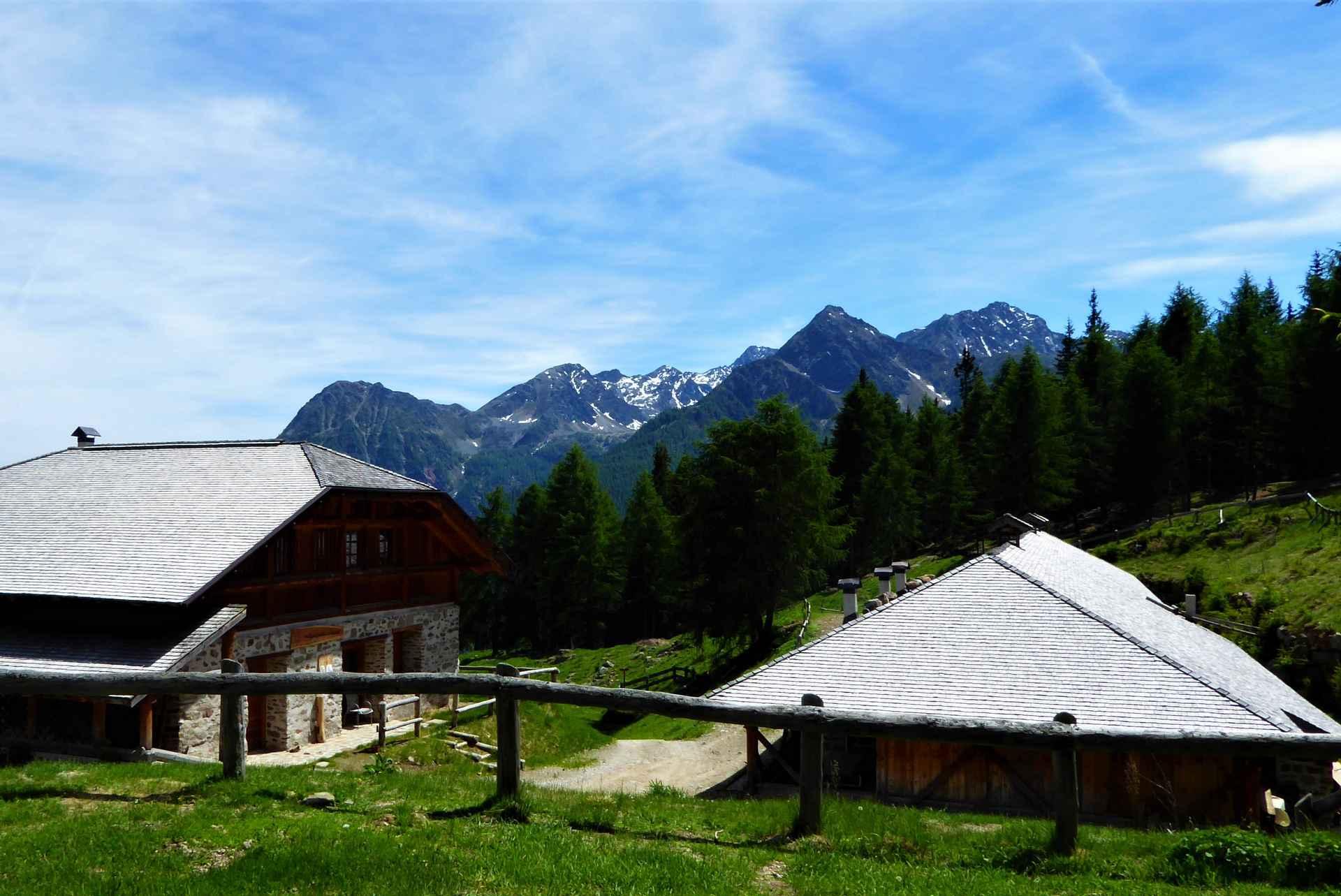
A dairy hut on the Fiecht pastures of the Ultental, in the comune of Ultimo, above the farms on the valley floor.
Sterzing, Pfitsch und FreienfeldMalga Innerfalkomai
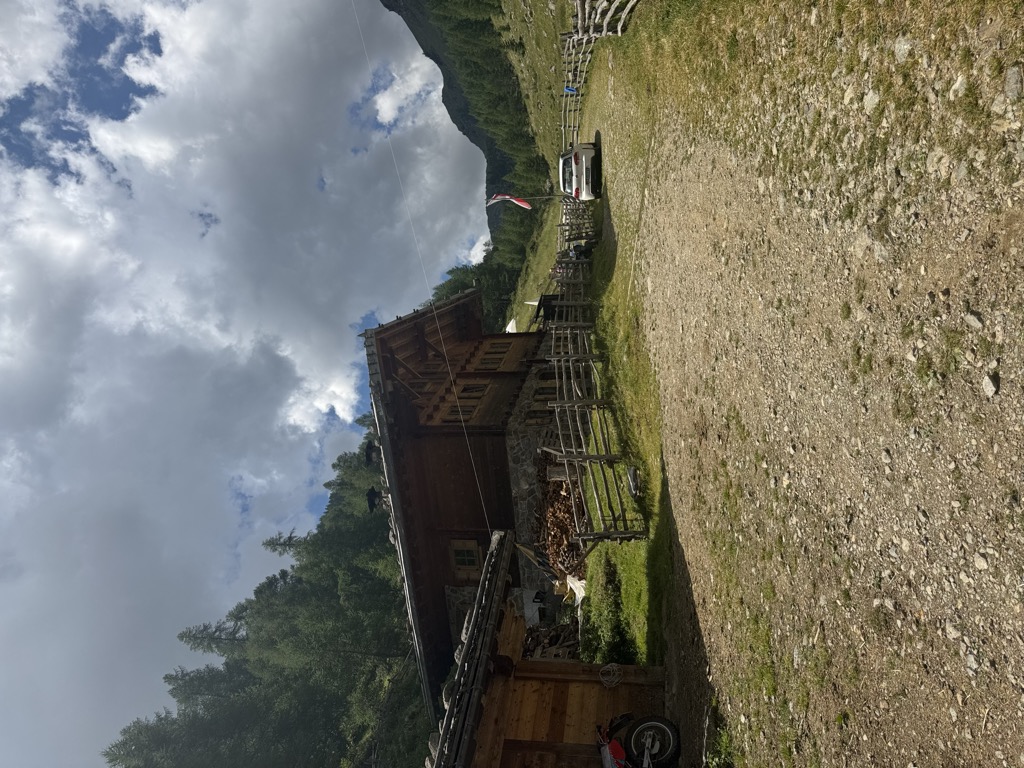
A dairy hut on the Falkomai pastures of the Ultental, high on the shady side of the valley in the comune of Ultimo.
Sterzing, Pfitsch und FreienfeldMalga Kaserfeld
A dairy hut on the Kaserfeld pastures of the Ultental, on the slopes below the ridge that closes the valley to the south.
Sterzing, Pfitsch und FreienfeldMalga Kirchberg
A dairy hut on the Kirchberg pastures of the Ultental, reached by the track that climbs from the valley road above Ultimo.
Sterzing, Pfitsch und FreienfeldMalga Kühberg
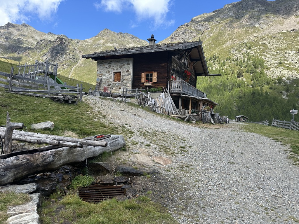
A dairy hut on the high pastures above the Val d'Ultimo, in the comune of Ultimo, reached by forest track from the valley farms.
Sterzing, Pfitsch und FreienfeldMalga Manzara (Stierberg)
7.8 km away, in Proves/Proveis
A dairy hut on the Stierberg pastures above Proves, between the Val di Non and the Val d'Ultimo.
Sterzing, Pfitsch und FreienfeldMalga "Untere Kessel Alm"
9.7 km away, in Proves/Proveis
A dairy hut on the pastures above Proves, in the German-speaking upper Val di Non.
Sterzing, Pfitsch und FreienfeldRifugio Lago Corvo
10 km away, in Rabbi
A hut at the Lago Corvo, where the Val di Rabbi meets the southern end of the Val d'Ultimo.
Malga Caldesa Bassa
11.9 km away, in Rabbi
A summer dairy pasture in the Val di Rabbi, open to walkers in the Stelvio national park.
Baita L'Anda
12.5 km away, in Rabbi
A restored farmhouse hut at Piazzola di Rabbi, at 1,300 m in the Stelvio national park.
Rifugio Silvio Dorigoni
12.7 km away, in Rabbi
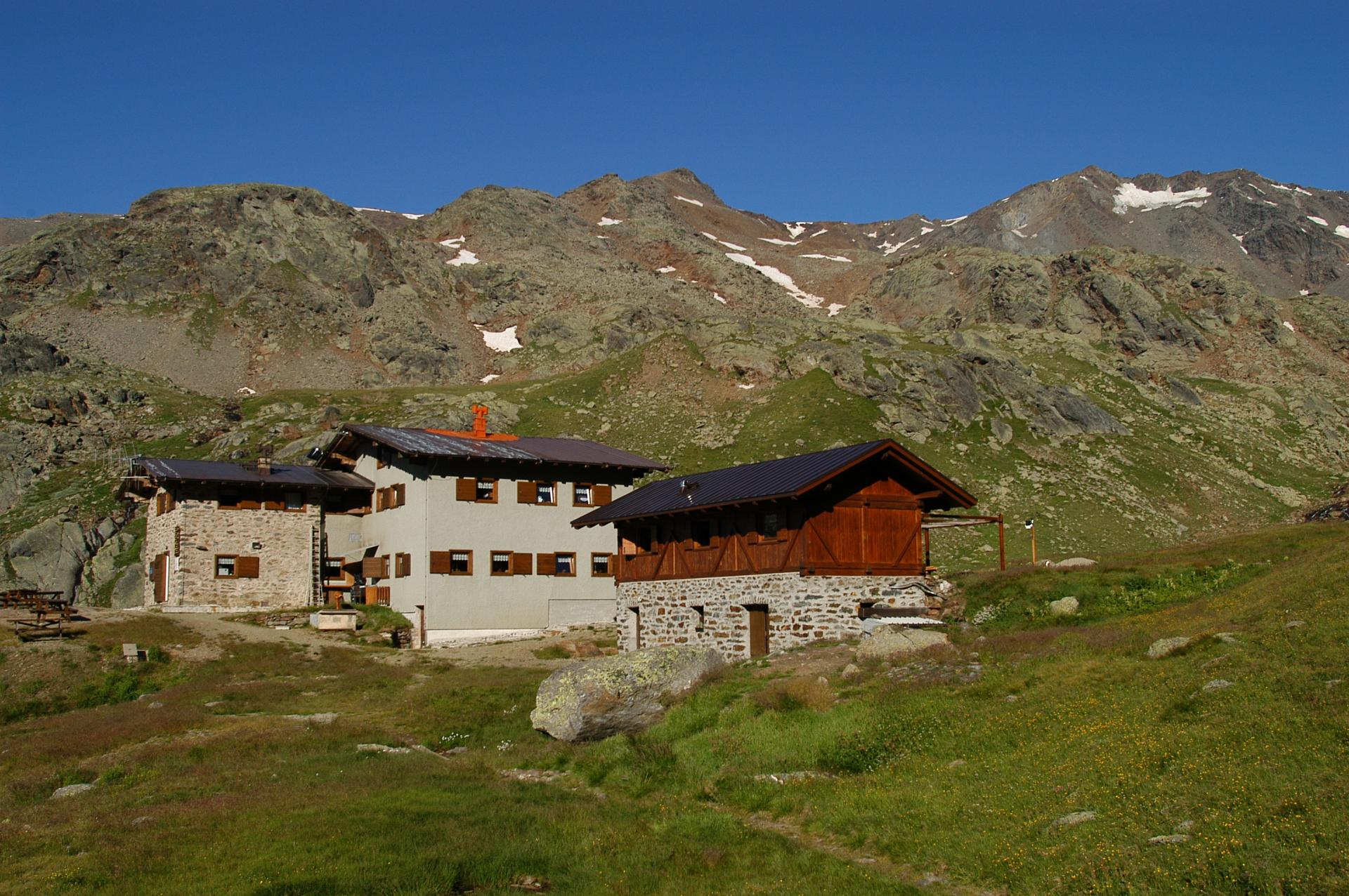
A CAI hut in the Val Saent, the wildest side valley of Rabbi, below the Cevedale ridge.
Cascate di Valorz
13.2 km away, in Rabbi
A waterfall in the Val di Rabbi reached through the Valorz farmsteads, inside the Stelvio national park.
MAS DEL MEZDI'
13.5 km away, in Rabbi
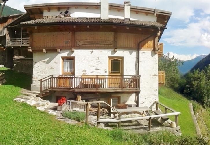
A detached chalet at Somrabbi in the Val di Rabbi, inside the Stelvio national park.
Bambi Chalet
13.9 km away, in Rabbi
A converted hay barn in the Val di Rabbi, kept as it was built, in the Stelvio national park.
Malga Fratte
14.8 km away, in Rabbi
A dairy pasture in the lower Val di Rabbi, on the paths into the Stelvio national park.
Nothing of this kind in Ultimo/Ulten.
Routes
Escursione alla magla "Fiecht"
A forest road from Fontana Bianca in the Ultimo valley to the Fiecht dairy, passable with a pushchair.
- 4.6 km
- Distance
- 228 m
- Ascent
- 1 h 41 min
- Duration
- 50
- Check-ins
 Weißbrunn Bergrestaurant 1 895 m
- Fiecht Alm - Malga dei Pini 2 034 m
- Weissbrunner Almhüttl 1 906 m
- Kaserschupf 2 070 m
 Fischersee - Lago dei Pescatori 2 068 m
Open route Partschins - Rabland - TöllGiro tra il Lago di Fontana Bianca e il Lago dei Pescatori
A round of two reservoirs in the Ultimo valley, best seen from above; the abandoned Genziana restaurant, Michelin-starred under Giancarlo Godio, stood on the first.
- 9.9 km
- Distance
- 247 m
- Ascent
- 3 h 23 min
- Duration
- 77
- Check-ins
- Weißbrunn Bergrestaurant 1 895 m
- Fiecht Alm - Malga dei Pini 2 034 m
- Naturparkhaus Larcher Säge 1 396 m
- Weissbrunner Almhüttl 1 906 m
- Enel Weissbrunn 1 885 m
- Kaserschupf 2 070 m
- +4
Open route Partschins - Rabland - TöllPasseggiata lungo la Via dei Masi in Val d'Ultimo
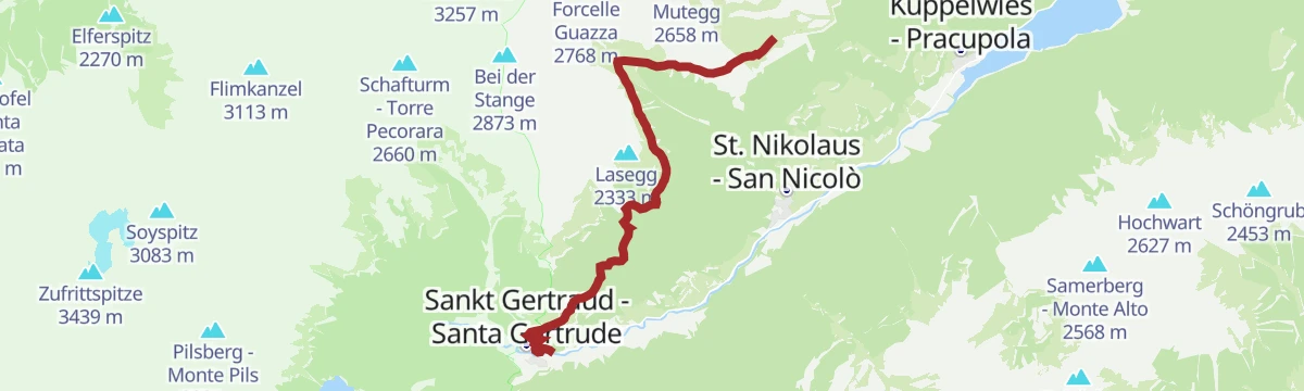
The long farmstead trail through the Ultimo valley, linking traditional masi with woods, meadows and local landmarks, well signed and open to the ridges opposite.
- 17.5 km
- Distance
- 507 m
- Ascent
- 5 h 22 min
- Duration
- 79
- Check-ins
- Naturparkhaus Larcher Säge 1 396 m
- Kleeholz 1 167 m
- sea.wies bar&lodn 1 144 m
- Lärchengarten 1 412 m
- Waldruhe 1 417 m
- Oberschwienbach 1 276 m
- +12
Open route Partschins - Rabland - TöllSci alpinismo all'Orecchia di Lepre
A ski tour from the turning for the Oberjochmoarhof farm up the Hasenoehrl, the easternmost of the Ortler group's three-thousanders.
- 15.8 km
- Distance
- 1 517 m
- Ascent
- 1 533 m
- Descent
- 5 h 54 min
- Duration
- 10
- Check-ins
Open route Partschins - Rabland - TöllSentiero panoramico "In der Grube"
A high-level circuit from the top station of the Schwemmalm gondola by the Innere Schwemmalm dairy towards the Hasenoehrl, with an easy descent back.
- 5.7 km
- Distance
- 133 m
- Ascent
- 1 h 39 min
- Duration
- 37
- Check-ins
- Bergrestaurant Schwemmalm - Ristorante di montagna Malga Guazza 2 145 m
- Innere Schwemmalm 2 094 m
- Schwemmalm - Malga Guazza 2 144 m
Open route Partschins - Rabland - TöllEscursione ai laghi della Val d'Ultimo
A four-lake round from the Weissbrunn reservoir, climbing path 140 to the Hoechsterhuette at the Green Lake, then path 12 to the Long Lake and down to Oberweissbrunn.
- 10.8 km
- Distance
- 677 m
- Ascent
- 4 h 36 min
- Duration
- 66
- Check-ins
- Weißbrunn Bergrestaurant 1 895 m
- Oberweißbrunn Alm - Malga Oberweißbrunn 2 219 m
- Höchsterhütte am Grünsee - Rifugio Canziani al Lago Verde 2 565 m
- Weissbrunner Almhüttl 1 906 m
- Mitterweißbrunn 2 101 m
- Kaserschupf 2 070 m
- +1
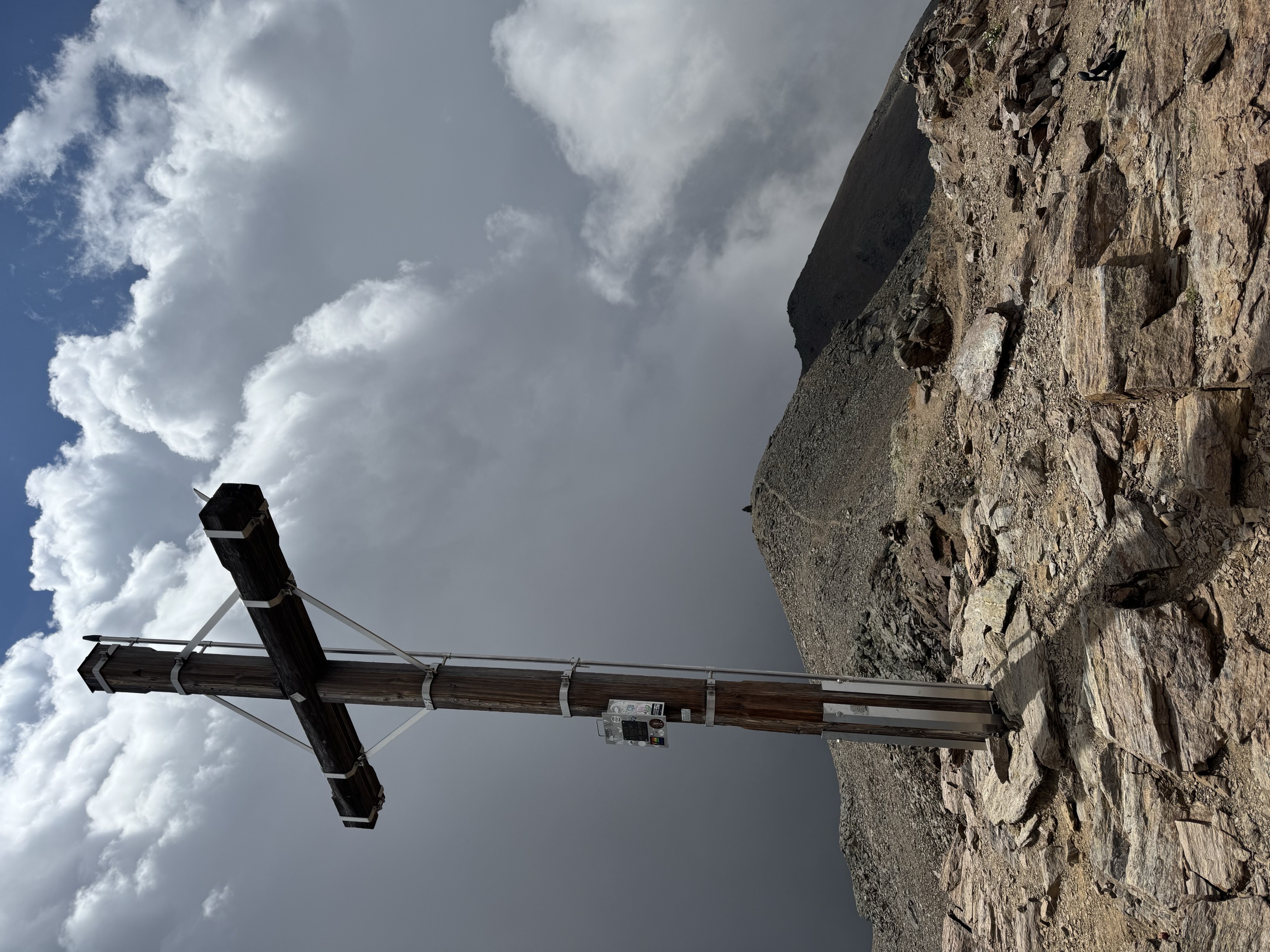
Open route Partschins - Rabland - TöllEscursione alla vetta del Collecchio
The highest and westernmost peak on the ridge between the Kirchberg valley and Fontana Bianca, reached across broad pastures dotted with small mountain lakes.
- 6.8 km
- Distance
- 1 068 m
- Ascent
- 4 h 7 min
- Duration
- 63
- Check-ins
 Gleck - Collecchio 2 957 m
- Weißbrunn Bergrestaurant 1 895 m
- Oberweißbrunn Alm - Malga Oberweißbrunn 2 219 m
- Weissbrunner Almhüttl 1 906 m
- Mitterweißbrunn 2 101 m
- Kaserschupf 2 070 m
- +2
Open route Partschins - Rabland - TöllSci alpinismo alla Cima degli Olmi
A ski tour on the south ridge between the Lavace and Einertal valleys, through thick forest to the Seefeldalm plateau and up one steep final slope to the Ilmspitz.
- 13.4 km
- Distance
- 1 435 m
- Ascent
- 1 436 m
- Descent
- 5 h 23 min
- Duration
- 10
- Check-ins
- Ilmspitz 2 656 m
- Waldheim 1 241 m
- Seefeld Alm 2 101 m
- Seefeld Alm - Malga Siromba 2 111 m
- Auerberg Alm - Malga di Monte d'Ora 1 648 m
Open route Partschins - Rabland - TöllSentiero panoramico Schwemmalm
A short high circuit along the tree line above the Ultimo valley, level enough for a pushchair, with the valley open the whole way round.
- 3.5 km
- Distance
- 77 m
- Ascent
- 1 h 2 min
- Duration
- 37
- Check-ins
- Bergrestaurant Schwemmalm - Ristorante di montagna Malga Guazza 2 145 m
- Innere Schwemmalm 2 094 m
- Schwemmalm - Malga Guazza 2 144 m
Open route Partschins - Rabland - TöllNuovo Percorso del lago
A level path along the shore of the Zoccolo reservoir, open to pushchairs and dogs and used for running and nordic walking.
- 7.8 km
- Distance
- 0 m
- Ascent
- 1 h 49 min
- Duration
- 44
- Check-ins
Open route Partschins - Rabland - TöllDa Schwemmalm a Fontana Bianca
A long traverse from the Schwemmalm pastures across to Fontana Bianca at the head of the Ultimo valley, with several huts to stop at on the way.
- 15.1 km
- Distance
- 0 m
- Ascent
- 3 h 32 min
- Duration
- 53
- Check-ins
- Bergrestaurant Schwemmalm - Ristorante di montagna Malga Guazza 2 145 m
- Weißbrunn Bergrestaurant 1 895 m
- Schwemmalm - Malga Guazza 2 144 m
- Schusterhütte 2 310 m
- Tufer Alm 2 102 m
- Äußere Pilsberg Alm 2 128 m
Open route Partschins - Rabland - TöllSci alpinismo alla cima Mutegg
A ski tour from the bottom of the two-seat chairlift, up wooded slopes well away from the pistes to the top of the Mutegg at 2,658 m.
- 5.6 km
- Distance
- 1 128 m
- Ascent
- 0 m
- Descent
- 3 h 6 min
- Duration
- 3
- Check-ins
Open route Partschins - Rabland - TöllMalga "Weißbrunner Almhütte"
A few steps to the Weissbrunn hut on the shore of the Weissbrunn lake, reached by road through St. Gertraud, with traditional alpine food served.
- 159 m
- Distance
- 0 m
- Ascent
- 3 min
- Duration
- 16
- Check-ins
Open route Partschins - Rabland - TöllDa Schwemmalm a S. Geltrude
A largely downhill route from the Schwemmalm pastures to St. Gertraud, ending among the worked fields and old farmsteads of the lower valley.
- 10.3 km
- Distance
- 134 m
- Ascent
- 3 h 27 min
- Duration
- 41
- Check-ins
- Bergrestaurant Schwemmalm - Ristorante di montagna Malga Guazza 2 145 m
- Naturparkhaus Larcher Säge 1 396 m
- Schwemmalm - Malga Guazza 2 144 m
- Steinbergl Alm 2 029 m
- Kaserfeld-Alm 1 945 m
- Fichtenheim 1 756 m
Open route Partschins - Rabland - TöllDa Schwemmalm al Rifugio Canziani
A long day from the Schwemmalm across to the Canziani hut in high ground at the head of the Ultimo valley, on clear paths but demanding throughout.
- 19.0 km
- Distance
- 1 069 m
- Ascent
- 6 h 47 min
- Duration
- 47
- Check-ins
- Bergrestaurant Schwemmalm - Ristorante di montagna Malga Guazza 2 145 m
- Höchsterhütte am Grünsee - Rifugio Canziani al Lago Verde 2 565 m
- Schwemmalm - Malga Guazza 2 144 m
- Schusterhütte 2 310 m
- Tufer Alm 2 102 m
- Äußere Pilsberg Alm 2 128 m
Open route Partschins - Rabland - TöllNordic Walking S. Valburga
A level circuit from the Zoccolo reservoir at St. Walburg to Pracupola, where a technique loop and the St. Nicholas circuit begin; wood and gravel underfoot.
- 4.6 km
- Distance
- 24 m
- Ascent
- 1 h 7 min
- Duration
- 12
- Check-ins
Open route Sterzing, Pfitsch und FreienfeldNordic Walking S. Nicolò
A circuit from St. Nikolaus to St. Gertraud on the old farmstead trail, returning along the opposite side of the valley, mostly under forest.
- 10.4 km
- Distance
- 338 m
- Ascent
- 3 h 16 min
- Duration
- 41
- Check-ins
- Naturparkhaus Larcher Säge 1 396 m
- Lärchengarten 1 412 m
- Waldruhe 1 417 m
- Gartlgütl 1 354 m
- Haus Leitweg 1 354 m
- Waldheim 1 241 m
- +4
Open route Sterzing, Pfitsch und FreienfeldLungo itinerario ad anello nel cuore del gruppo delle Maddalene passando per la Cima Belmonte
A long ring on the boundary between Trentino and South Tyrol, between the Val di Non and the Val d'Ultimo, with huts open for food.
- 15.5 km
- Distance
- 949 m
- Ascent
- 6 h 32 min
- Duration
- 36
- Check-ins
Dalla malga Schwemmalm alla Malga di Pracupola
An easy walk between the Schwemmalm and Pracupola pastures, facing the Hoher Dieb, the Hasenoehrl and the Quaira reservoir.
- 3.7 km
- Distance
- 62 m
- Ascent
- 1 h 12 min
- Duration
- 4
- Check-ins
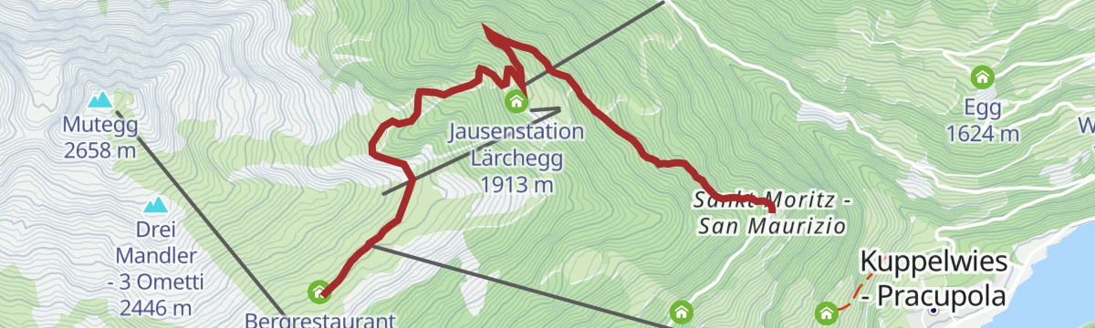
Open route Partschins - Rabland - TöllEscursione alla malga "Außere Schwemmalm"
A climb on path 6 from St. Moritz to the Aussere Schwemmalm, a working dairy serving wild-herb dishes, cheeses and cured meats, with a playground outside.
- 4.6 km
- Distance
- 544 m
- Ascent
- 2 h 16 min
- Duration
- 39
- Check-ins
- Bergrestaurant Schwemmalm - Ristorante di montagna Malga Guazza 2 145 m
- Schwemmalm - Malga Guazza 2 144 m
- Gasthof St. Moritz 1 632 m
- Jausenstation Lärchegg 1 913 m
- Bergrestaurant Breiteben 1 907 m
Open route Partschins - Rabland - TöllExcursion to Lake Trenta in the wild heart of the Maddalena Group
A ring from the Malga Bordolona to Lake Trenta, turning the peak of the same name and returning through the Val Clapa.
- 10.3 km
- Distance
- 874 m
- Ascent
- 5 h 34 min
- Duration
- 25
- Check-ins
- Malga Bordolona di Sotto 1 806 m
- Malga Bordolona di Sopra 2 084 m
 Alplahnerscharte - Passo Alplaner 2 424 m
- Malga Scalet di Sotto 1 900 m
- Klapfbergjoch - Passo di Val Clapa 2 295 m
Open route APT Val di NonEscursione alla malga di Pracupola
A short walk from the top station of the Schwemmalm gondola on paths 6, 5 and 5B to the Pracupola dairy, which serves alpine food and has a playground.
- 3.8 km
- Distance
- 84 m
- Ascent
- 1 h 16 min
- Duration
- 4
- Check-ins
Open route Partschins - Rabland - TöllNordic Walking Pracupola
A circuit from the Pracupola car park along the farmstead trail past old masi of the Ultimo valley to St. Nikolaus, returning through forest on the far side.
- 7.7 km
- Distance
- 149 m
- Ascent
- 2 h 10 min
- Duration
- 38
- Check-ins
- Kleeholz 1 167 m
- sea.wies bar&lodn 1 144 m
- Oberschwienbach 1 276 m
- Eben 1 207 m
- Mittergraben 1 269 m
- Ultental 1 144 m
- +2
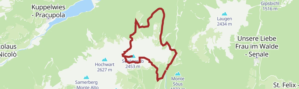
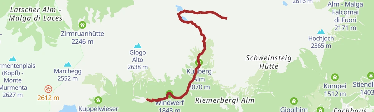
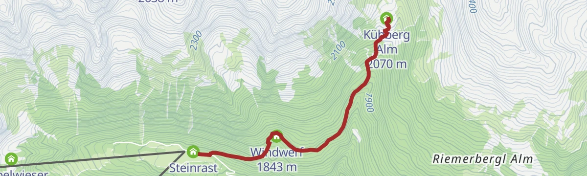
Open route Sterzing, Pfitsch und FreienfeldEscursione alla cima Muttegrub
From the Steinrast mountain inn on paths 4A and 4B to the Kuehbergalm, then past the first of the two Covolo lakes and up path 7 to the Muttegrub.
- 6.9 km
- Distance
- 1 026 m
- Ascent
- 4 h 3 min
- Duration
- 21
- Check-ins
- Muttegrub 2 737 m
- Steinrast 1 736 m
- Kühberg Alm 2 070 m
- Unterer Kofelraster See - Lago di Covolo Inferiore 2 403 m
- Kofelrast [Alm] 2 313 m
- Windwerf 1 843 m
Open route Partschins - Rabland - TöllSentiero dei bagni di S. Pancrazio
A short uneven path past the sites of old bath houses at San Pancrazio, with a mineral spring caught above the quiet Lotterbad.
- 1.6 km
- Distance
- 62 m
- Ascent
- 28 min
- Duration
- 3
- Check-ins
Open route Partschins - Rabland - TöllEscursione al Monte Chiodo
From the Fontana Bianca car park along path 101 beside the lake to the Fiecht dairy, then up through rhododendron meadows to the top of the Nagelstein.
- 3.7 km
- Distance
- 578 m
- Ascent
- 2 h 14 min
- Duration
- 32
- Check-ins
- Nagelstein 2 469 m
- Weißbrunn Bergrestaurant 1 895 m
- Fiecht Alm - Malga dei Pini 2 034 m
- Fiechtsee - Lago dei Pini 2 108 m
Open route Partschins - Rabland - TöllOrecchia di Lepre
A climb from the Tarres pasture by the Laces pass and a slightly exposed crest to the Hasenöhrl, a three-thousander looking across the Ortles peaks.
- 13.6 km
- Distance
- 1 331 m
- Ascent
- 8 h 13 min
- Duration
- 14
- Check-ins
- Hasenöhrl 3 257 m
- Cresta Azzurra 2 913 m
- Blaue Schneid 3 029 m
- Tarscher Alm 1 942 m
- Berggasthof Tarscher Alm 1 935 m
- Tarscher Joch - Passo di Tarres 2 440 m
- +2
Open route Sterzing, Pfitsch und FreienfeldEscursione alla malga "Flatschberg"
A forest road from the parking at the Flatschhoefe farms up to the Flatschberg dairy, about an hour and a half of walking.
- 3.0 km
- Distance
- 335 m
- Ascent
- 1 h 24 min
- Duration
- 2
- Check-ins
Open route Partschins - Rabland - TöllDalla malga Schwemmalm al Mutegg
A climb from the gondola top station across the dairy's slopes, away from the pistes, steeply up to the summit of the Mutegg.
- 5.8 km
- Distance
- 511 m
- Ascent
- 3 h 13 min
- Duration
- 31
- Check-ins
- Mutegg 2 658 m
- Bergrestaurant Schwemmalm - Ristorante di montagna Malga Guazza 2 145 m
- Schwemmalm - Malga Guazza 2 144 m
- Rosslahnerscharte 2 552 m
Open route Partschins - Rabland - TöllEscursione alla vetta "Hoher Dieb"
From the car park at the Steinrast inn on paths 4B and 4A past the Kuehberg dairy to the Covolo lakes, then path 4 to the summit cross of the Hoher Dieb.
- 5.7 km
- Distance
- 985 m
- Ascent
- 3 h 44 min
- Duration
- 11
- Check-ins
- Kühberg Alm 2 070 m
- Unterer Kofelraster See - Lago di Covolo Inferiore 2 403 m
- Kofelrast [Alm] 2 313 m
- Windwerf 1 843 m
Open route Partschins - Rabland - TöllSentiero della salute "Kneipp"
A shaded walk along the Zoccolo reservoir with six Kneipp stations, a central basin, a water mill, benches and loungers by the shore.
- 3.4 km
- Distance
- 11 m
- Ascent
- 49 min
- Duration
Open route Partschins - Rabland - TöllEscursione alla vetta del Peilstein
From the Gigglhirnhof above St. Walburg by forest road and path to the Marschnell dairy, the highest in the Ultimo valley, then up path 10 to the summit cross.
- 4.5 km
- Distance
- 859 m
- Ascent
- 3 h 12 min
- Duration
- 18
- Check-ins
Open route Partschins - Rabland - TöllEscursione alla cima degli Olmi
One of the most-walked peaks on the southern ridge of the Ultimo valley, looking out to the glaciers at its head and across to the Brenta and Adamello.
- 6.6 km
- Distance
- 1 441 m
- Ascent
- 5 h 16 min
- Duration
- 10
- Check-ins
- Ilmspitz 2 656 m
- Waldheim 1 241 m
- Seefeld Alm 2 101 m
- Seefeld Alm - Malga Siromba 2 111 m
- Auerberg Alm - Malga di Monte d'Ora 1 648 m
Open route Partschins - Rabland - TöllEscursione alla malga "Inneren Schwemmalm"
A climb from St. Moritz on paths 6 and 13 through forest and flowering alpine meadow to the Innere Schwemmalm, also a short walk from the gondola.
- 3.9 km
- Distance
- 484 m
- Ascent
- 2 h
- Duration
- 14
- Check-ins
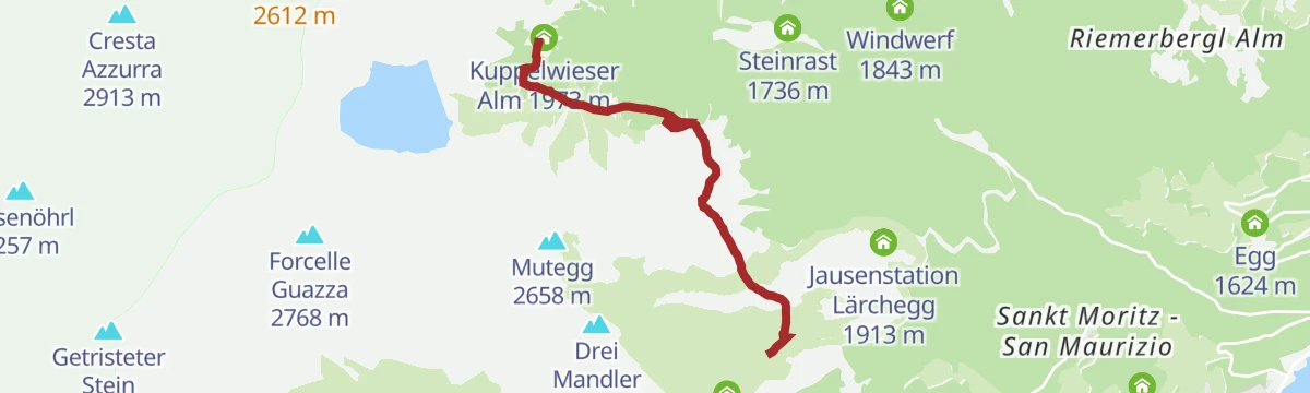
Open route Partschins - Rabland - TöllEscursione all'Orecchia di Lepre
The Hasenoehrl, a pyramid of 3,250 m on the divide between the Ultimo and Venosta valleys, standing well clear of the other peaks in the Ortler group.
- 5.7 km
- Distance
- 1 292 m
- Ascent
- 4 h 42 min
- Duration
- 9
- Check-ins
- Hasenöhrl 3 257 m
- Cresta Azzurra 2 913 m
- Blaue Schneid 3 029 m
- Kuppelwieser Alm 1 973 m
- Latscher Joch - Passo di Laces 2 507 m
- Kupperlwieser Alm 1 973 m
Open route Partschins - Rabland - TöllEscursione alla malga "Kühberg"
From the Steinrast mountain inn on paths 4B and 4A to the Kuehberg dairy, a stop on the longer round from Simian by Riemerbergl to the Kofelraster lakes; beds on request.
- 2.8 km
- Distance
- 333 m
- Ascent
- 1 h 22 min
- Duration
- 14
- Check-ins
Open route Partschins - Rabland - TöllEscursione alla Cima Stübele
From the Falschauernhof farm between St. Nikolaus and St. Gertraud, up forest road 16 through the Klappa valley to the Klapfberg dairy, the Schrummscharte and the ridge.
- 9.8 km
- Distance
- 1 315 m
- Ascent
- 5 h 14 min
- Duration
- 9
- Check-ins
- Stübele - Cima Stubele 2 671 m
- Falschauerhof 1 355 m
- Schrummscharte - Passo della Siromba 2 407 m
- Klapfberg Alm 1 947 m
- Schrummalm 2 190 m
Open route Partschins - Rabland - TöllEscursione al Hochjoch
A climb from the Sant'Elena car park on path 8 through larch wood past the Peilstein to the summit cross of the Hochjoch above the Ultental.
- 12.1 km
- Distance
- 841 m
- Ascent
- 5 h 36 min
- Duration
- 12
- Check-ins
- Hochjoch 2 365 m
- Mariolberger Alm - Malga Mariolberg 1 675 m
- Innere Falkomai Alm - Malga Falcomai di Dentro 2 050 m
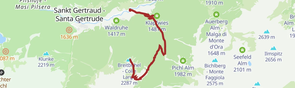
Open route Partschins - Rabland - TöllEscursione al Colle Largo
From the Falschauern bus stop up forest road 16 into the Clapa valley, then the steep, shaded path 16A to the Londai dairy and path 15 over open meadow to Breitbuehel.
- 6.5 km
- Distance
- 952 m
- Ascent
- 3 h 43 min
- Duration
- 8
- Check-ins
Open route Partschins - Rabland - TöllEscursione alla malga "Kirchberg"
A forest road, path 108, up from St. Gertraud to the Kirchberg dairy, with the unstaffed Baerhapp hut an hour further on and the Haselgruberhuette beyond it.
- 4.9 km
- Distance
- 504 m
- Ascent
- 2 h 9 min
- Duration
- 12
- Check-ins
Open route Partschins - Rabland - TöllUltner Talweg
A long valley route from San Pancrazio along the sunny slope to Santa Valburga, returning by the floor of the Ultental.
- 23.8 km
- Distance
- 918 m
- Ascent
- 7 h 50 min
- Duration
- 5
- Check-ins
- Schmied 925 m
- Tourismusvereinigung Ultental - Deutschnonsberg 731 m
- Laas 1 012 m
- Angererhüttl 1 000 m
- Kläranlage 970 m
- Jägerhäusl 962 m
- +4
Open route Partschins - Rabland - TöllEscursione alla malga "Kaserfeld"
From the Lahnersaege visitor centre at St. Gertraud, steeply up path 143 and then the gentler 145 through spruce and larch to the Kaserfeld dairy.
- 3.9 km
- Distance
- 558 m
- Ascent
- 2 h 13 min
- Duration
- 11
- Check-ins
Open route Partschins - Rabland - TöllEscursione alla malga "Innerfalkomai"
A walk from the Sant'Elena car park on path 8 to the Innerfalkomai dairy, open from mid-June to mid-September and serving meals.
- 10.6 km
- Distance
- 547 m
- Ascent
- 3 h 57 min
- Duration
- 10
- Check-ins
Open route Partschins - Rabland - TöllEscursione alla malga "Marschnell"
Path 10 from the Gigglhirn farm runs straight up to the Marschnell dairy at 2,213 m, the highest alpine pasture in the Ultimo valley.
- 2.9 km
- Distance
- 528 m
- Ascent
- 1 h 59 min
- Duration
- 10
- Check-ins
Open route Partschins - Rabland - TöllEscursione alla magla "Riemerbergl"
A short, steep climb on path 4 to the Riemerbergl dairy at 2,051 m on the slopes above the Ultimo valley.
- 1.9 km
- Distance
- 347 m
- Ascent
- 1 h 18 min
- Duration
- 5
- Check-ins
Open route Partschins - Rabland - TöllEscursione alla malga "Spitzner Alm"
A climb to the Spitzner Alm above the Ultimo valley, a working dairy with cheese, butter, juice and Kaiserschmarrn, and beds on request.
- 4.0 km
- Distance
- 703 m
- Ascent
- 2 h 40 min
- Duration
- 4
- Check-ins
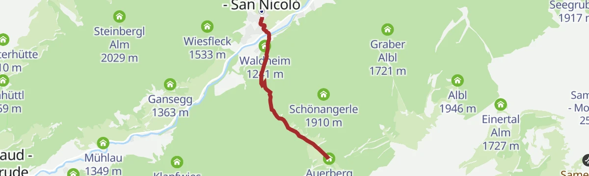
Open route Partschins - Rabland - TöllEscursione alla malga Auerberg
Path 18 and a forest road leave the valley-floor road below St. Nikolaus and climb to the Auerberg dairy at 1,644 m, within reach of a whole family.
- 2.7 km
- Distance
- 427 m
- Ascent
- 1 h 44 min
- Duration
- 4
- Check-ins
Open route Partschins - Rabland - Töll
No routes of this kind in Ultimo/Ulten yet.
The region's own picks

Featured route
Escursione alla magla "Fiecht"
A forest road from Fontana Bianca in the Ultimo valley to the Fiecht dairy, passable with a pushchair.
Planning a trip to Ultimo/Ulten?
Everything else Trentino-Alto Adige/Südtirol has, in one place


Take Ultimo/Ulten with you into the mountains
Every route on this page with 3D terrain, GPX navigation and offline maps — including the valleys with no signal.
Data sources
- Official website: suedtirol.info ↗
- Routes and highlights: Partschins - Rabland - Töll, Sterzing, Pfitsch und Freienfeld, Valdirabbi, Visit Trentino, APT Val di Non
- Published as open data by the tourist boards named above.
- Region summary generated from the board's own material.
