
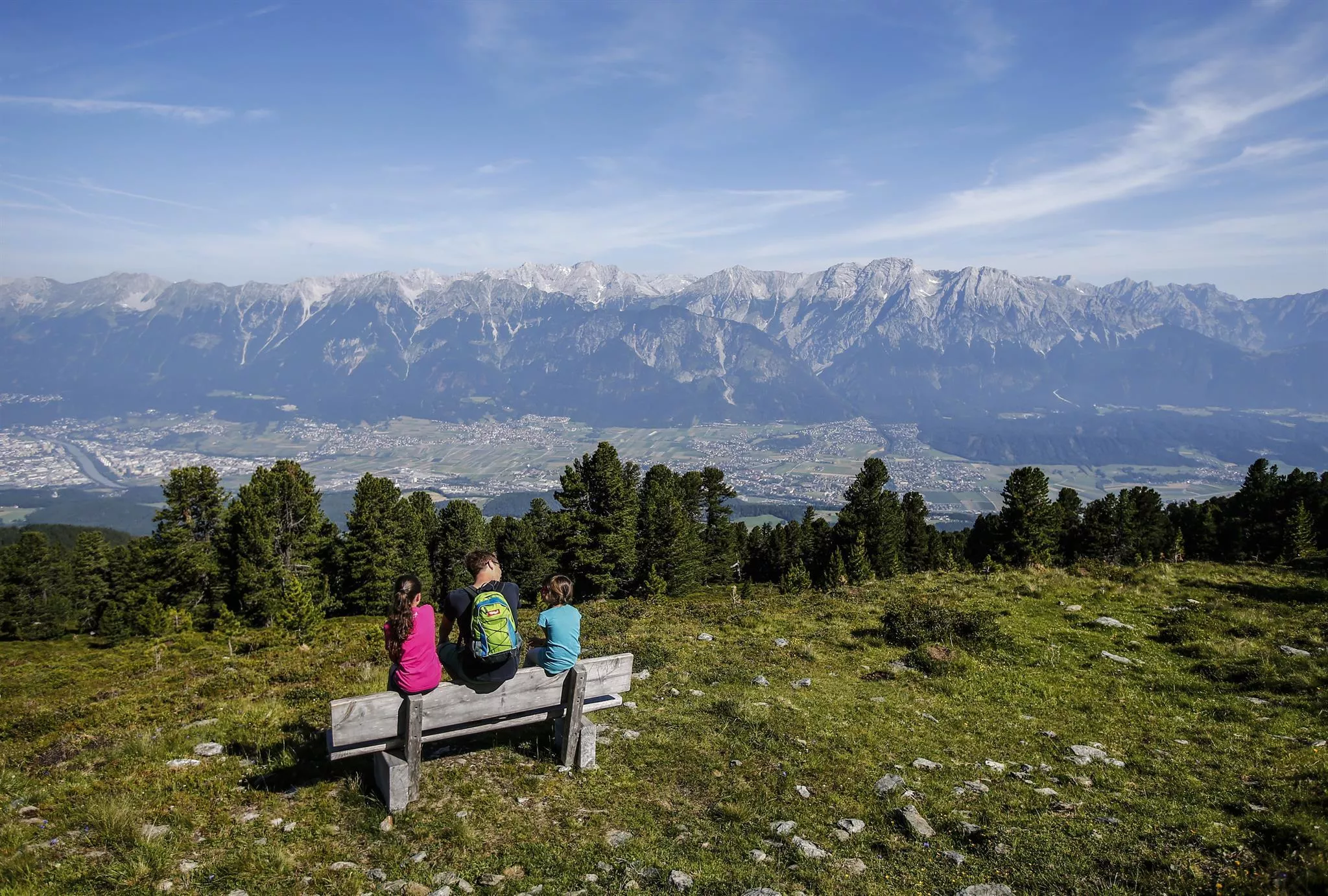
 Cable car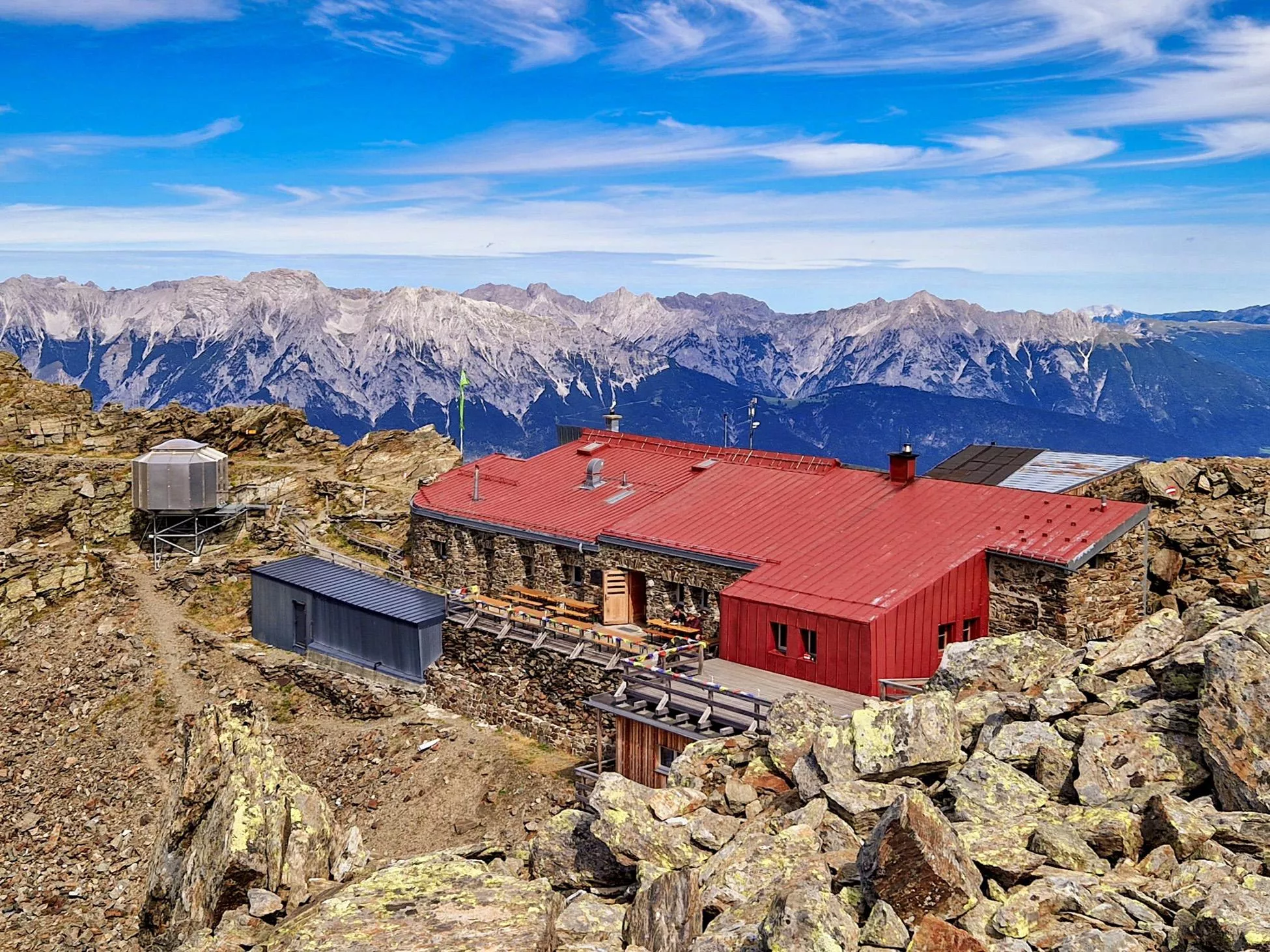
 Mountain hut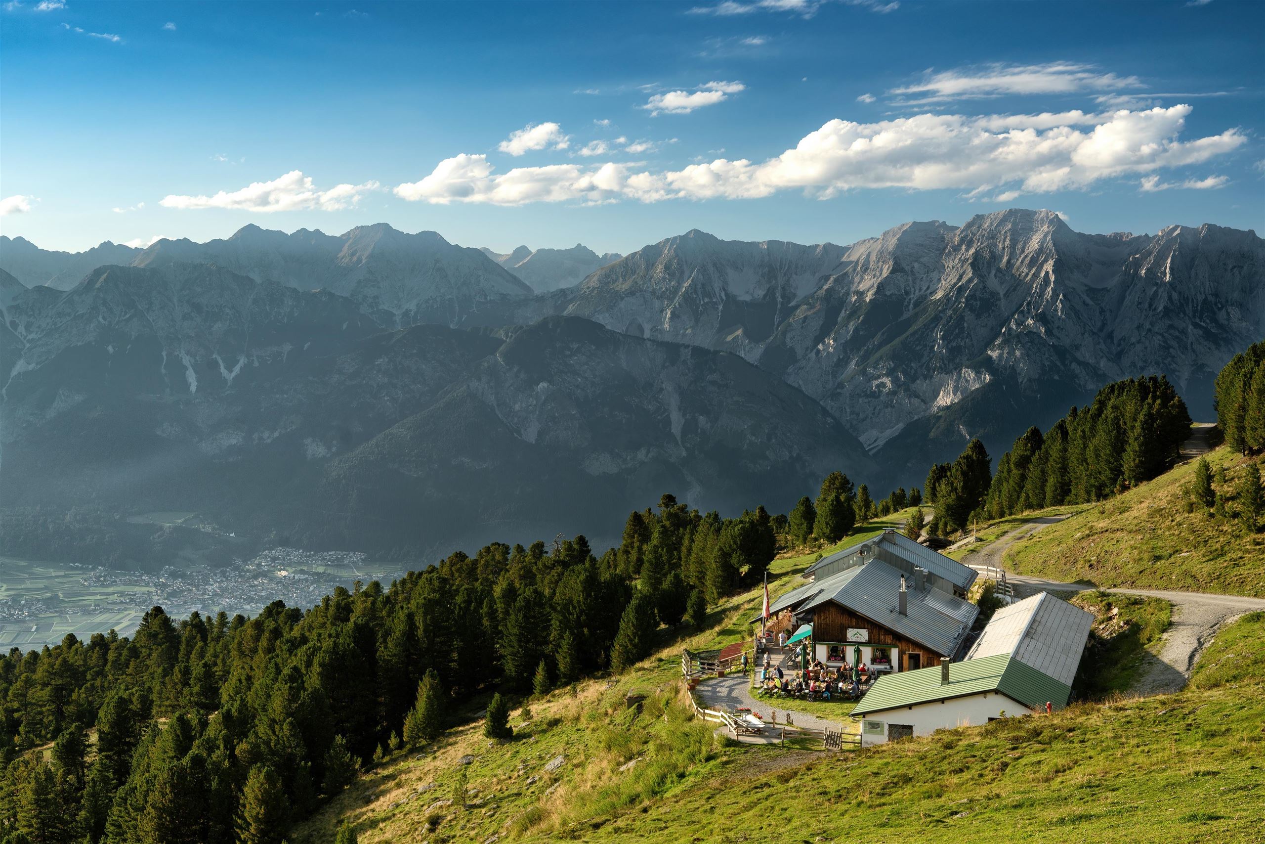
 Historic site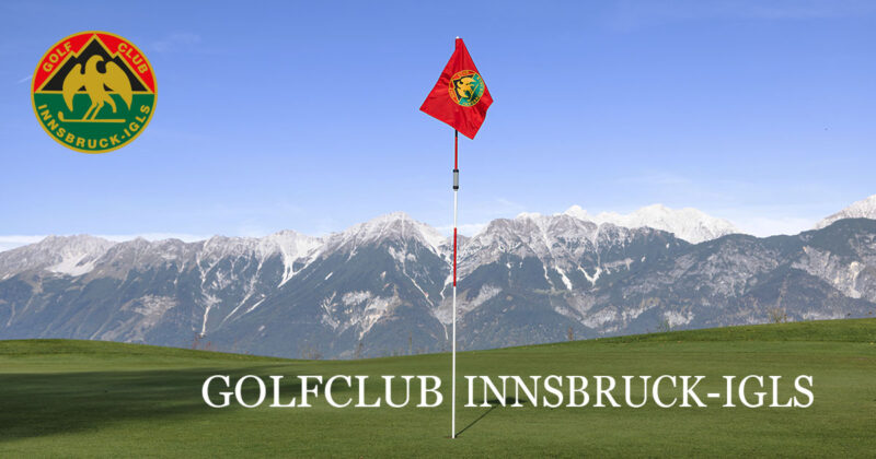









Curated by Region Hall-Wattens
Tulfes
At the foot of the Glungezer some 12 km east of Innsbruck, start of the lift toward the 2610 m Glungezerhütte and the stone-pine trail above.
- 7Highlights
- 55Routes
- Featured summit · Sonnenspitze
Highlights
8 from neighbouring places
Glungezerbahn
A lift system rising from Tulfes at 923 m towards the Glungezer, carrying walkers to the Zirbenweg stone-pine trail in summer and serving a small ski area in winter.
Glungezer-Hütte 2610
A hut just below the Glungezer summit at 2,610 m above Tulfes, known for home cooking and as a stage on the long Zirbenweg ridge path.
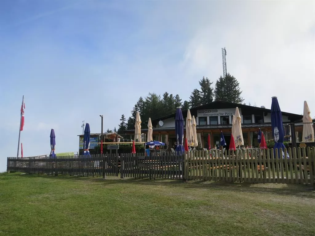
Tulfeinalm
An alm near the top station of the Glungezer lifts above Tulfes, serving Austrian dishes to walkers on the Zirbenweg and to winter skiers.
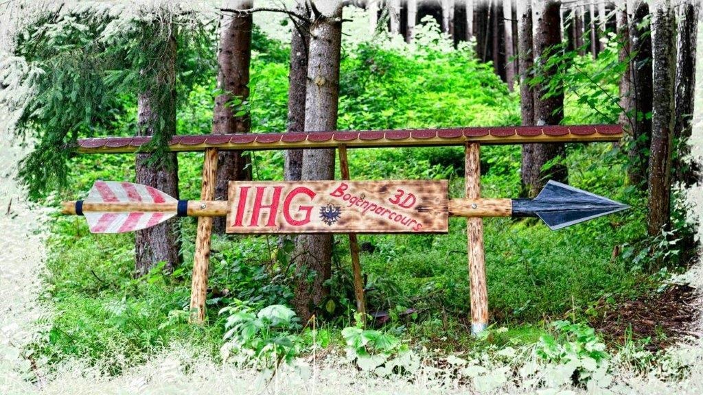
Bogenschießparcours Tulfes
A 3D archery course laid out in the woods near Tulfes, with targets along a walking circuit for beginners and practised archers alike.
Alpengasthof Halsmarter
An alpine inn at Halsmarter, the middle station of the Glungezer lifts above Tulfes, serving walkers and skiers on the way up the mountain.
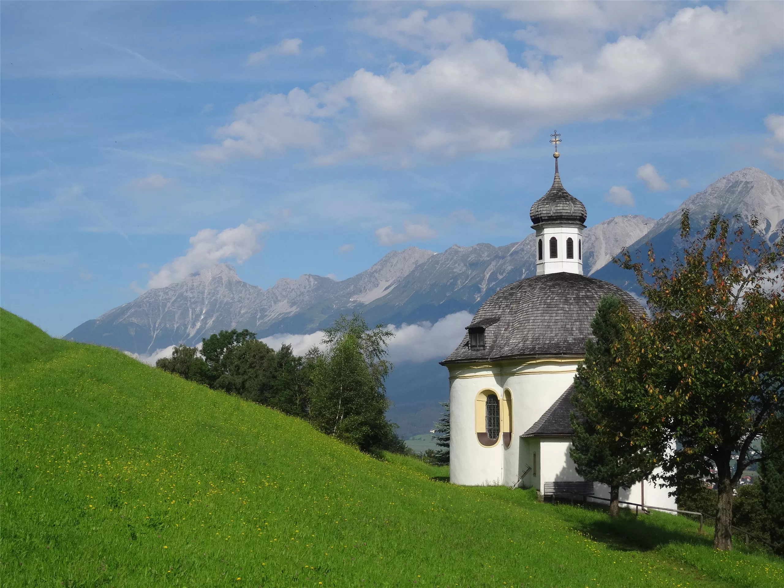
Borgiaskapelle
A small chapel near Tulfes dedicated to St Francis Borgia, a quiet wayside landmark on paths around the village.
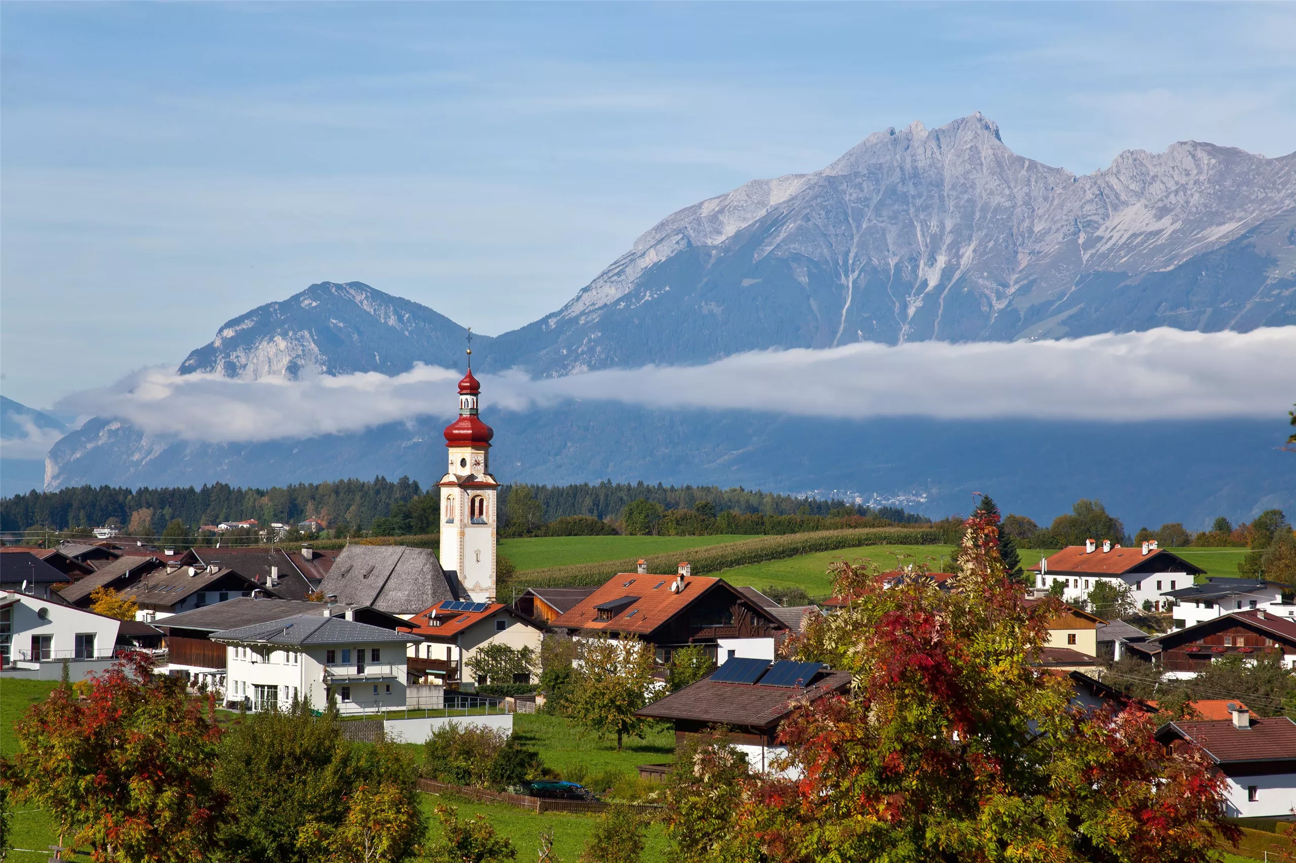
Pfarrkirche Tulfes
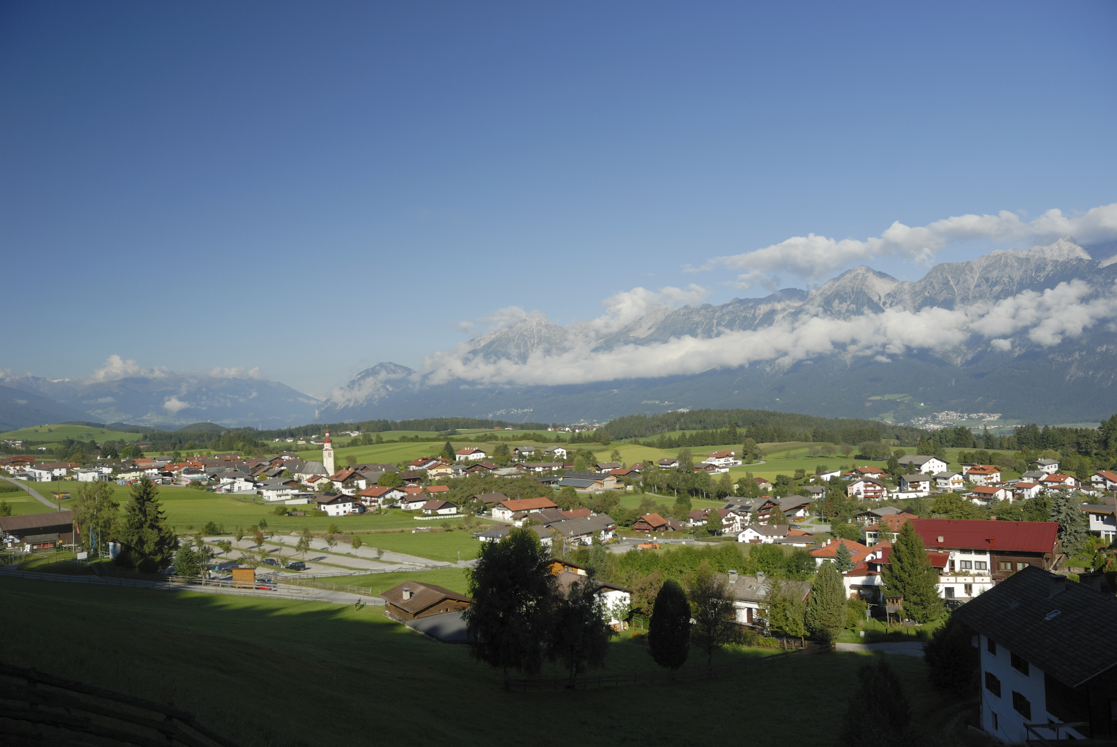
The parish church of Tulfes at 923 m on the sunny plateau above the Inn valley, the centre of the village below the Glungezer.
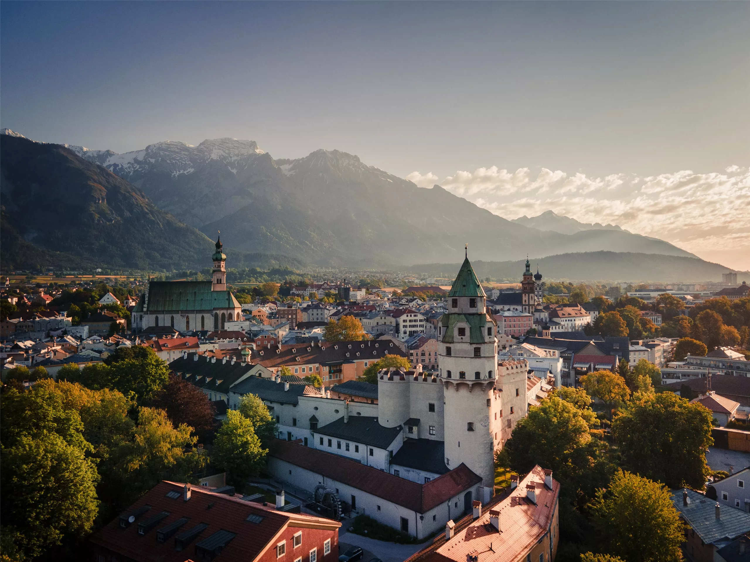
Altstadt Hall in Tirol
1.5 km away, in Volders
The medieval old town of Hall in Tirol, a dense web of lanes, squares and Gothic and baroque buildings that grew wealthy on salt mining and coin minting.
Golfclub Innsbruck-Igls- Golfplatz Rinn (18-Loch)
3 km away, in Rinn
The 18-hole course of Golfclub Innsbruck-Igls at Rinn (918 m), laid out on the sunny terrace southeast of Innsbruck.
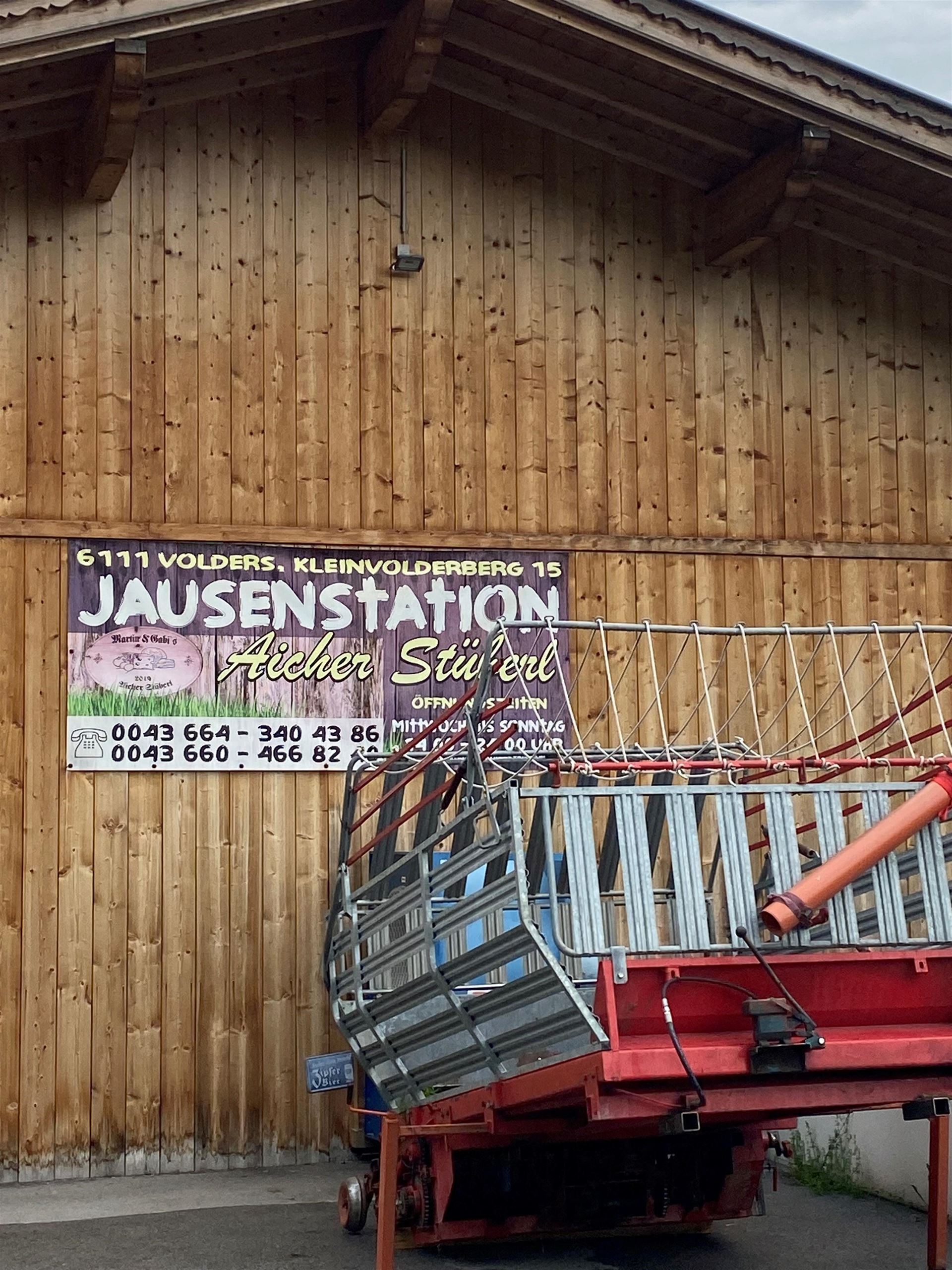
Jausenstation Aicherstüberl
4.5 km away, in Volders
A snack station above Volders serving cold platters and home cooking to walkers on the low paths between the Inn valley villages.
Alpenvereinshütte Meissner Haus
4.6 km away, in Ellbögen
An Alpine Club hut in the Viggartal above Ellbögen, south of Innsbruck, offering meals and beds to walkers below the Glungezer ridge.
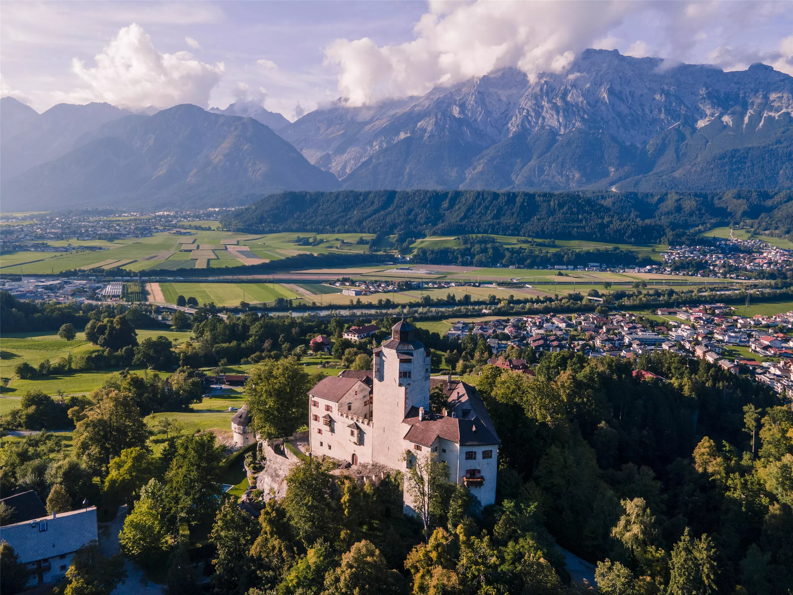
Schloss Friedberg
5.5 km away, in Volders
A medieval hilltop castle above Volders in the Inn valley, in private hands for centuries and occasionally opened for guided visits.
Münze Hall
5.5 km away, in Hall in Tirol
A museum in the mint of Hall in Tirol, where large silver coins ancestral to the taler were struck from the late 15th century.
Stadtmuseum Hall
5.5 km away, in Hall in Tirol
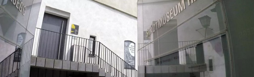
The town museum of Hall in Tirol, presenting the salt town's history from medieval trade and minting to everyday life in the old lanes.
Stadtarchäologie Hall
5.5 km away, in Hall in Tirol
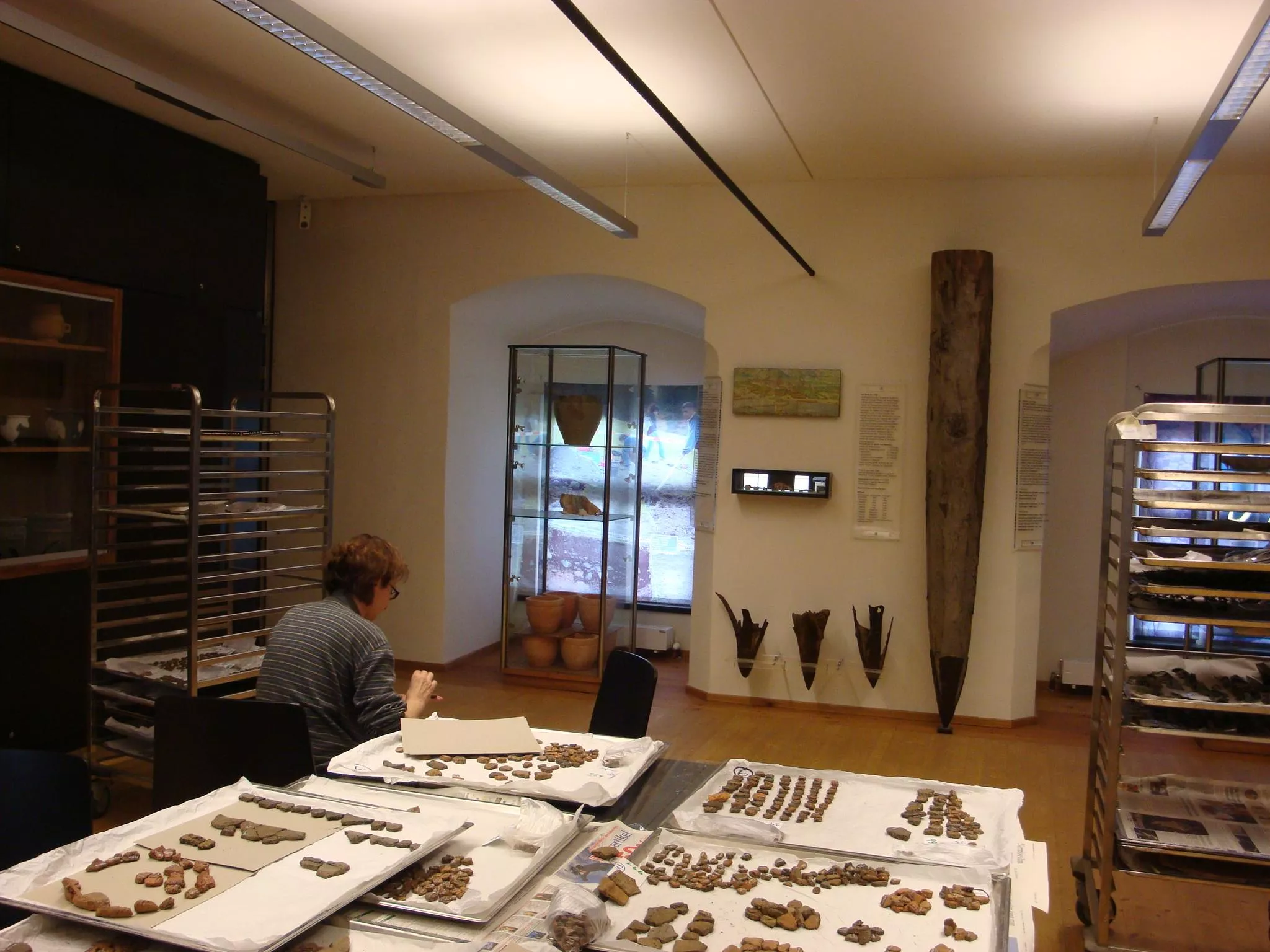
An archaeology programme in Hall in Tirol presenting excavation finds from the old town, with displays and guided tours for adults and children.
Nothing of this kind in Tulfes.
Routes
50 routes, an even mix of activities · see the rest on hall-wattens.at ↗
Glungezer Klettersteig
Rebuilt via ferrata below the Glungezerhütte with new cables, stations retelling the legend of the giant of the Glungezer, and a long Nepalese bridge.
- 2.0 km
- Distance
- 449 m
- Ascent
- 2 h
- Duration
- 20
- Check-ins
Zirbenweg
High traverse through one of the Alps' largest stone-pine stands, from the Patscherkofel lifts across to the Tulfein Alm above Tulfes, with steady Inntal views.
- 7.3 km
- Distance
- 349 m
- Ascent
- 2 h 35 min
- Duration
- 52
- Check-ins
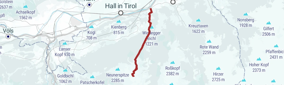
Die Neunerspitz` Runde
Technically straightforward summit round of 10.9 km over the Neunerspitze, Sonnenspitze and Glungezer, with 794 m of climb from the Tulfeinalm.
- 10.9 km
- Distance
- 784 m
- Ascent
- 5 h 10 min
- Duration
- 74
- Check-ins
Vier Gipfel Tour entlang des Glungezer Höhenweges
Ridge line of 14.6 km over the Patscherkofel, Viggarspitze, Sonnenspitze and Glungezer, 1,077 m of climb away from the busy pine path below.
- 14.6 km
- Distance
- 1 036 m
- Ascent
- 6 h 43 min
- Duration
- 115
- Check-ins
Skitour auf den variantenreichen Glungezer
Ski tour up the Glungezer by its normal line, 630 m of climb in 2.6 km with the Glungezerhütte close to the summit.
- 2.6 km
- Distance
- 632 m
- Ascent
- 11 m
- Descent
- 1 h 41 min
- Duration
- 33
- Check-ins
Die längste Skitour Tirols: Von der Karlskirche zum Glungezergipfel
Ski tour of 2,098 m from the Karlskirche in Volders all the way to the summit of the Glungezer, with the Glungezerhütte for food near the top.
- 9.7 km
- Distance
- 2 099 m
- Ascent
- 0 m
- Descent
- 5 h 40 min
- Duration
- 20
- Check-ins
Mountainbiketour von Tulfes zur Rinner Alm MTB Route 5061
A short, steep forest-road climb out of Tulfes in Tirol, gaining nearly 500 m in under 6 km to reach the Rinner Alm.
- 5.6 km
- Distance
- 496 m
- Ascent
- 52 min
- Duration
Tour Tulfeinalm - Zirbensee MTB Route 517
A hard mountain-bike climb above Tulfes, passing Halsmarter and the Tulfein Alm to the Speicherteich Zirbensee at 2,100 m.
- 10.3 km
- Distance
- 1 237 m
- Ascent
- 1 h 58 min
- Duration
- 27
- Check-ins
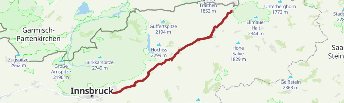
Fernradweg München-Venezia: 2. Abschnitt, die Schatzkiste Tirol
A long-distance stage down the Inn valley to Innsbruck and then up the Wipptal to the Brenner Pass, with rail stops at Pill-Vomperbach and Steinach.
- 82.0 km
- Distance
- 1 563 m
- Ascent
- 8 h 45 min
- Duration
- 33
- Check-ins
Von der Tulfeinalm auf den Schartenkogel
Short summit walk of 4.3 km from the Tulfeinalm over the Tulfein Jöchl to the Schartenkogel, with 273 m of climb.
- 4.3 km
- Distance
- 262 m
- Ascent
- 1 h 49 min
- Duration
- 38
- Check-ins
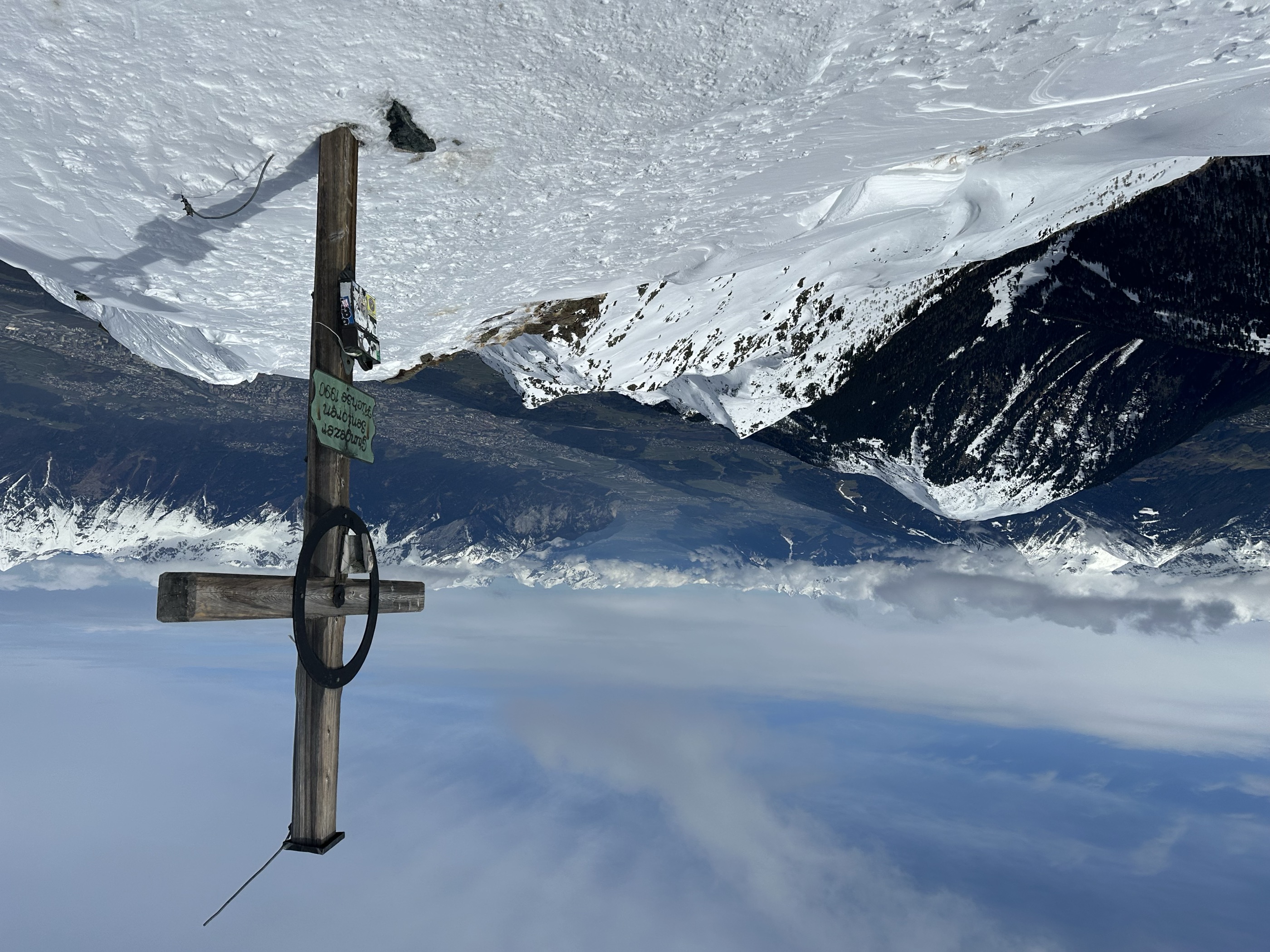
Von der Tulfeinalm auf den Glungezer Gipfel
From the Tulfeinalm an 8.7 km climb of 754 m over the Sonnenspitze to the Glungezer, whose summit looks out over hundreds of peaks and ridges.
- 8.7 km
- Distance
- 735 m
- Ascent
- 4 h 41 min
- Duration
- 70
- Check-ins
Glungezer & Geier Höhenweg
Ridge traverse of 15.6 km between the Glungezerhütte and the Lizumer Hütte, crossing seven tops between 2,600 and 2,700 m, among them the Grünbergspitze and Kreuzspitze.
- 15.6 km
- Distance
- 707 m
- Ascent
- 6 h 27 min
- Duration
- 100
- Check-ins
Vital Radweg vom Patscherkofel zum Glungezer - Route Süd
A gently graded mountain-bike route across the wooded terraces on the south side of the Inn valley, southeast of Innsbruck.
- 12.9 km
- Distance
- 220 m
- Ascent
- 1 h 21 min
- Duration
Transalp - Sektion Hall - Brenner
A cross-Alpine stage that leaves the Inn valley over the Goldbichl at Rinn, then works up the Wipptal past Matrei and Steinach.
- 38.1 km
- Distance
- 935 m
- Ascent
- 4 h 5 min
- Duration
- 10
- Check-ins
Innsbruck Hochplateau Ride
A demanding tour over the terraces above the Inn valley, taking in the Goldbichl and a string of mid-mountain farms and inns.
- 107.7 km
- Distance
- 2 530 m
- Ascent
- 11 h 57 min
- Duration
- 21
- Check-ins
Panorama-Schützensteig
Easy 4.5 km round on the newly built Schützensteig to the Bärenbader Jöchl, with 234 m of climb.
- 4.5 km
- Distance
- 225 m
- Ascent
- 1 h 38 min
- Duration
- 12
- Check-ins
Adlerweg Etappe 13: Almrosen, Zirben, Tannenhäher
The much-walked stone pine path above Innsbruck, 7.8 km from the Patscherkofel top station to the Tulfeinalm with barely 200 m of climb.
- 7.8 km
- Distance
- 191 m
- Ascent
- 2 h 13 min
- Duration
- 70
- Check-ins
München - Venedig: Von der Glungezer-Hütte zur Lizumer Hütte
Ridge stage of 15.8 km from the Glungezerhütte over the Kreuzspitze, Grünbergspitze and Grafmartspitze to the Naviser Jöchl and on to the Lizumer Hütte, with one exposed section.
- 15.8 km
- Distance
- 998 m
- Ascent
- 7 h 55 min
- Duration
- 98
- Check-ins
Tulfer Mittelgebirgsrunde
A forest-road loop on the terrace above the Inn valley, over the Palmbühel and Kleinberg and through the farms and lifts around Rinn.
- 32.8 km
- Distance
- 685 m
- Ascent
- 3 h 33 min
- Duration
- 6
- Check-ins
Rund um Innsbruck
A long road loop over the terraces east of Innsbruck, through Rinn and Ampass and down to the Inn at Fritzens and Wattens.
- 60.6 km
- Distance
- 1 464 m
- Ascent
- 6 h 45 min
- Duration
- 8
- Check-ins
Guggerinselrunde leichte Nordic Walking Runde in Hall Tirol
Flat 3.6 km running and walking loop along the Inn at Hall, with next to no height gain.
- 3.6 km
- Distance
- 0 m
- Ascent
- 50 min
- Duration
Adlerweg-Etappe 13: Innsbruck - Zirbenweg - Innsbruck
City stage of the Eagle Walk: up the Patscherkofel by lift, along the stone-pine high path to the Tulfein Alm and back toward Innsbruck, with bus links at both ends.
- 7.7 km
- Distance
- 350 m
- Ascent
- 2 h 40 min
- Duration
- 65
- Check-ins
München - Venedig: Von Tulfes zur Glungezer- Hütte
Stage of 15.9 km and 1,782 m of climb from Tulfes up to the Glungezerhütte; the Glungezerbahn to the Tulfeinalm cuts out much of the work.
- 15.8 km
- Distance
- 1 774 m
- Ascent
- 7 h 33 min
- Duration
- 58
- Check-ins
Innradweg Kufstein - Hall
A near-level valley route along the Inn between Kufstein and Hall in Tirol, following the river past Kundl, Rotholz and Pill.
- 72.3 km
- Distance
- 90 m
- Ascent
- 6 h 28 min
- Duration
- 4
- Check-ins
Innradweg - Tiroler Unterland - Radwanderroute 2
A long day on the Inn valley cycle route, running downstream from Innsbruck through Hall in Tirol to Rattenberg, Brixlegg and Kundl.
- 99.6 km
- Distance
- 95 m
- Ascent
- 8 h 58 min
- Duration
- 5
- Check-ins
Lavierenbadrunde leichte Nordic Walking Runde am Tulfer Plateau, Tirol
Easy 6.1 km walking round on the Tulfes plateau, out along the sunny Speckbacherweg towards Rinn and back through the quiet Poltental.
- 6.1 km
- Distance
- 233 m
- Ascent
- 2 h
- Duration
Der aussichtsreiche Zirbenweg - Wandergenuss auf 2000 Meter Seehöhe
High path at around 2,000 m between the Patscherkofel and Tulfes, 7.3 km with almost no climbing, past Boscheben and the Tulfeinalm.
- 7.3 km
- Distance
- 90 m
- Ascent
- 2 h
- Duration
- 63
- Check-ins
Zu den Blauen Seen
Long 16.4 km high route with over 1,500 m of climb to the G'schriebener Stoan and the Blaue Seen in the Viggartal.
- 16.4 km
- Distance
- 1 472 m
- Ascent
- 9 h 15 min
- Duration
- 41
- Check-ins
Wattener Runde mittelschwere Rennradtour in Hall Tirol
A long climb out of the Inn valley into the Wattental, reaching the Puelacherhütte and Schwaigerhütte at around 1,350 m before the descent.
- 47.3 km
- Distance
- 1 137 m
- Ascent
- 5 h 16 min
- Duration
- 4
- Check-ins
Innradweg von Innsbruck bis Wörgl
A near-flat run downstream along the Inn from Innsbruck to Wörgl, passing Hall in Tirol and the villages of the lower valley.
- 68.5 km
- Distance
- 268 m
- Ascent
- 6 h 20 min
- Duration
- 3
- Check-ins
Poltentalrunde im Frühjahr
Spring round of 5.8 km from the Glungezerbahn valley station along the Speckbacherweg into the Poltental and back to Tulfes.
- 5.8 km
- Distance
- 181 m
- Ascent
- 1 h 48 min
- Duration
Glungezer Runde
An 11.4 km round following the stone pine path out and returning over the Sonnenspitze and the Glungezer, with 722 m of climb.
- 11.4 km
- Distance
- 711 m
- Ascent
- 4 h 50 min
- Duration
- 56
- Check-ins
Viggarspitze
A 16.1 km outing on the stone pine path to the Viggarspitze, with the option of descending by the Rinner Alm to Rinn instead of retracing the way.
- 16.1 km
- Distance
- 402 m
- Ascent
- 6 h 1 min
- Duration
- 14
- Check-ins
Silberrunde mittelschwere Rennradtour durch Tirol
A tour along the Inn valley floor from Hall in Tirol out past Terfens and Pill, with barely 220 m of climbing in more than 40 km.
- 41.8 km
- Distance
- 183 m
- Ascent
- 3 h 53 min
- Duration
- 3
- Check-ins
Innradweg
Ninety-seven kilometres of near-level cycle path along the Inn, from Mötz past Telfs and Innsbruck down to Rotholz.
- 86.9 km
- Distance
- 245 m
- Ascent
- 7 h 56 min
- Duration
- 2
- Check-ins
Speckbacherrunde mittelschwere Nordic Walking Runde in Tulfes, Tirol
Short 4.2 km round on the sunny Speckbacherweg facing the Nordkette, with enough short rises to keep it out of beginner territory.
- 4.2 km
- Distance
- 145 m
- Ascent
- 1 h 21 min
- Duration
Bergtour zum "Denkmal für Schnee"
Climb of 675 m from the Tulfeinalm to Esther Strauß's three-word monument to snow, with six audio pieces on climate research along the way.
- 4.9 km
- Distance
- 667 m
- Ascent
- 2 h 46 min
- Duration
- 43
- Check-ins
Von Tulfes zur aussichtsreichen Tulfeinalm
Climb of 1,121 m on foot from Tulfes up to the Tulfeinalm, 9.9 km with the Inn valley opening up behind.
- 9.9 km
- Distance
- 1 115 m
- Ascent
- 4 h 38 min
- Duration
- 14
- Check-ins
Über die MARTHA Dörfer und das Tulfer Plateau
A round over the mid-mountain villages east of Innsbruck, topping out near Rinn at about 930 m before dropping back to the valley floor.
- 39.5 km
- Distance
- 659 m
- Ascent
- 4 h 7 min
- Duration
- 3
- Check-ins
Rad-Rundtour am südlichen Mittelgebirge
A road circuit across the terraces south-east of Innsbruck, over the Palmbühel and through Igls and Judenstein.
- 30.9 km
- Distance
- 769 m
- Ascent
- 3 h 28 min
- Duration
- 2
- Check-ins
Tempolaufstrecke in Hall in Tirol
A flat 1 km measured stretch beside the Inn at Hall, laid out for speed sessions rather than sightseeing.
- 999 m
- Distance
- 0 m
- Ascent
- 14 min
- Duration
Vier-Almen Wanderung - Almweg 1600 entlang des Patscherkofels und Glungezer
Mostly downhill 10.4 km traverse from the Patscherkofel cable car past the Sistranser, Lanser, Aldranser and Rinner Alm, easy but long enough to need some fitness.
- 10.4 km
- Distance
- 257 m
- Ascent
- 3 h 27 min
- Duration
- 40
- Check-ins
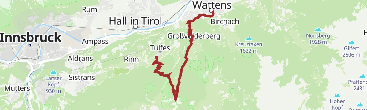
Bergsagen Weitwanderweg: Etappe 2 von Wattens nach Tulfes
Second stage of the mountain-legends long-distance route: from Wattens into the Voldertal to its hut, then over pasture to the Glungezerbahn mid-station and down through forest to Tulfes.
- 18.5 km
- Distance
- 1 106 m
- Ascent
- 6 h 59 min
- Duration
- 11
- Check-ins
Fernradweg München Venedig in der Region Hall Wattens
The Munich to Venice long-distance route where it runs level along the Inn through Hall and Wattens.
- 26.3 km
- Distance
- 20 m
- Ascent
- 2 h 21 min
- Duration
- 2
- Check-ins
Verbindung Tulfes - Judenstein
Easy 5 km link from Tulfes across to Judenstein, joining the running and walking network around Innsbruck-Igls.
- 4.9 km
- Distance
- 92 m
- Ascent
- 1 h 23 min
- Duration
Rundwanderweg Voldertal
Nearly level 9.6 km round from Halsmarter to the Voldertalhütte, returning by the Stiftsalm and Windegg to Tulfes.
- 9.6 km
- Distance
- 54 m
- Ascent
- 2 h 58 min
- Duration
- 11
- Check-ins
Naviser Jöchl mittelschwere Bergtour in Tulfes, Tirol
Long day of 29.3 km and 1,710 m of climb up the Voldertal past the Voldertalhütte to the Naviser Jöchl, with the option of crossing into the Navistal.
- 29.3 km
- Distance
- 1 785 m
- Ascent
- 12 h 19 min
- Duration
- 7
- Check-ins
Innradweg
A flat valley-floor route along the Inn, running downstream from Innsbruck's old town past Hall in Tirol towards Terfens and Weer.
- 31.8 km
- Distance
- 10 m
- Ascent
- 2 h 50 min
- Duration
- 1
- Check-ins
Bergsagen Weitwanderweg: Etappe 3 von Tulfes nach Thaur
Third Bergsagen stage, 13.8 km from Tulfes through the medieval town of Hall in Tirol and the pilgrimage village of Absam, then across the Inn to Thaur.
- 13.7 km
- Distance
- 263 m
- Ascent
- 4 h 9 min
- Duration
- 4
- Check-ins
Naviser Sonnenspitze
Long valley approach and 1,516 m of climb over 22.9 km to the twin tops of the Naviser Sonnenspitze, looking across into the Tuxer Alps.
- 22.9 km
- Distance
- 1 554 m
- Ascent
- 10 h 25 min
- Duration
- 7
- Check-ins
No routes of this kind in Tulfes yet.
The region's own picks

Featured route
Zirbenweg
High traverse through one of the Alps' largest stone-pine stands, from the Patscherkofel lifts across to the Tulfein Alm above Tulfes, with steady Inntal views.
Planning a trip to Tulfes?
Everything else Tyrol has, in one place


Take Tulfes with you into the mountains
Every route on this page with 3D terrain, GPX navigation and offline maps — including the valleys with no signal.
Data sources
- Official website: hall-wattens.at ↗
- Routes and highlights: Region Hall-Wattens, Innsbruck Tourismus, Wipptal Tourismus, Alpbachtal Tourismus, Kitzbüheler Alpen Tourismus
- Published as open data by the tourist boards named above.
- Region summary generated from the board's own material.
