


Curated by Sterzing, Pfitsch und Freienfeld
Tubre/Taufers im Münstertal
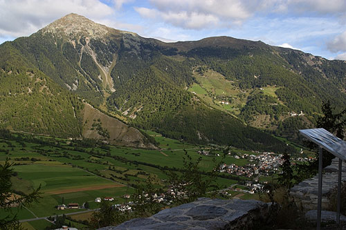
The only Romansh-speaking comune in Italy, in the Val Monastero on the Swiss border.
Photo: Roland Zumbühl ( Picswiss ), Arlesheim ( Commons:Picswiss project ) · CC BY-SA 3.0 licence
- 2Highlights
- 11Routes
- Featured summit · Piz Chavalatsch - Monte Cavallaccio
Highlights
All 2 from neighbouring places
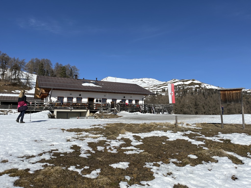
Malga Höfer
6.4 km away, in Malles Venosta/Mals
A farm dairy hut above the Malles basin, on the open slopes of the upper Vinschgau.
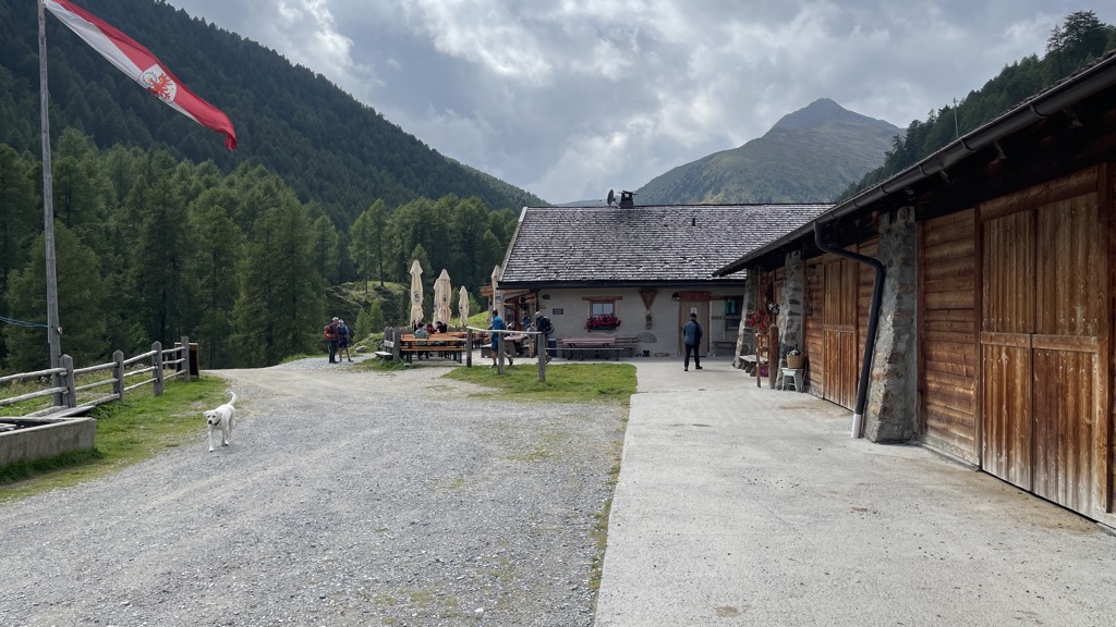
Sterzing, Pfitsch und FreienfeldMalga Brugger
11 km away, in Malles Venosta/Mals
A dairy hut on the pastures above Malles Venosta, high on the slopes of the upper Vinschgau.
Sterzing, Pfitsch und Freienfeld
Nothing of this kind in Tubre/Taufers im Münstertal.
Routes
Escursion circolare Abeti Secolari
A family loop in the Stelvio park spruce forest above Rivaira, where three firs of 400 to 500 years still stand.
- 2.4 km
- Distance
- 81 m
- Ascent
- 45 min
- Duration
Open route Sterzing, Pfitsch und FreienfeldEscursione Mangitz- e Mitteralm
A climb through meadow and forest in the Avinga valley above Tubre to the Mangitz and Mitter alpine huts.
- 6.1 km
- Distance
- 775 m
- Ascent
- 3 h 8 min
- Duration
- 1
- Check-ins
Open route Sterzing, Pfitsch und Freienfeld360° Alta Venosta: Tubre in Val Monastero - Slingia
One of the hardest stages of the Alta Venosta circuit, crossing high ground to a viewing platform facing the Sesvenna group.
- 17.4 km
- Distance
- 1 433 m
- Ascent
- 8 h 16 min
- Duration
- 6
- Check-ins
 Tellajoch - Giogo di Tella 2 358 m
 Baustadlhof 1 380 m
- Hofschank Egghof 1 730 m
- Laatscher Alm - Malga di Laudes 2 041 m
- Kälberalm - Malga dei Vitelli 2 140 m
- Schleiser Alm - Malga di Clusio 2 076 m
Open route Sterzing, Pfitsch und FreienfeldSki alpinismo Tellakopf
An easy ski tour to the Tellakopf at the mouth of the Val Monastero, looking over the Venosta, the Ötztal Alps and the Ortles.
- 7.1 km
- Distance
- 786 m
- Ascent
- 787 m
- Descent
- 2 h 55 min
- Duration
- 8
- Check-ins
Open route Sterzing, Pfitsch und FreienfeldSci alpinismo al Monte Cavalaccio
A ski tour to the 2,763-metre Piz Chavalatsch on the ridge between the Stelvio and the Val Monastero, rising gently to a cross and a former customs post.
- 14.7 km
- Distance
- 1 329 m
- Ascent
- 1 326 m
- Descent
- 5 h 19 min
- Duration
- 8
- Check-ins
 Piz Chavalatsch - Monte Cavallaccio 2 763 m
- Plaschweller 2 534 m
- Rifairscharte 2 455 m
- Tschageinhütte 2 102 m
Open route Sterzing, Pfitsch und FreienfeldEscursione invernale Mangitzalm
An easy winter walk up the snow-covered Avinga valley to the Mangitz hut, close to the Swiss border.
- 3.9 km
- Distance
- 488 m
- Ascent
- 1 h 58 min
- Duration
- 1
- Check-ins
Open route Sterzing, Pfitsch und FreienfeldTaufers - Piz Chavalatsch - Müstair
A crossing from Taufers by the Rifair alp and the Rifairscharte along the ridge to Piz Chavalatsch, the easternmost point of Switzerland, then down to Müstair.
- 16.1 km
- Distance
- 1 664 m
- Ascent
- 10 h 7 min
- Duration
- 6
- Check-ins
- Piz Chavalatsch - Monte Cavallaccio 2 763 m
- Rifairscharte 2 455 m
- Rifairalm - Malga di Rivaira 2 145 m
- La Scharta - Stilfser Schartl 2 587 m
Open route Engadin Samnaun Val MüstairSentiero della roggia "Turnaunawaal"
A quiet path along the Turnauna irrigation channel on the sunny slope at Tubre, near a ruined fort, Romanesque buildings and sacrificial stones.
- 6.7 km
- Distance
- 341 m
- Ascent
- 2 h 29 min
- Duration
- 1
- Check-ins
Open route Sterzing, Pfitsch und Freienfeld360° Alta Venosta: Tubre in Val Monastero (Maso Egghof) - Slingia
The shortened eighth stage of the Alta Venosta circuit, over the Tella pass with its viewing platform, then down past the huts to Slingia.
- 14.4 km
- Distance
- 937 m
- Ascent
- 6 h 23 min
- Duration
- 5
- Check-ins
- Tellajoch - Giogo di Tella 2 358 m
- Hofschank Egghof 1 730 m
- Laatscher Alm - Malga di Laudes 2 041 m
- Kälberalm - Malga dei Vitelli 2 140 m
- Schleiser Alm - Malga di Clusio 2 076 m
Open route Sterzing, Pfitsch und Freienfeld360° Alta Venosta: Glorenza - Tubre in Val Monastero
A stage from Glorenza, the smallest town in the Alps, west to Tubre on the Swiss border in the Val Monastero.
- 11.4 km
- Distance
- 514 m
- Ascent
- 3 h 38 min
- Duration
Open route Sterzing, Pfitsch und FreienfeldPercorso tematico delle 8 chiese
A signed circular route at Tubre linking eight churches of different periods and styles.
- 7.5 km
- Distance
- 265 m
- Ascent
- 2 h 25 min
- Duration
Open route Sterzing, Pfitsch und Freienfeld
No routes of this kind in Tubre/Taufers im Münstertal yet.
The region's own picks

Featured route
Escursion circolare Abeti Secolari
A family loop in the Stelvio park spruce forest above Rivaira, where three firs of 400 to 500 years still stand.
Planning a trip to Tubre/Taufers im Münstertal?
Everything else Trentino-Alto Adige/Südtirol has, in one place


Take Tubre/Taufers im Münstertal with you into the mountains
Every route on this page with 3D terrain, GPX navigation and offline maps — including the valleys with no signal.
Data sources
- Official website: valvenosta.it ↗
- Routes and highlights: Sterzing, Pfitsch und Freienfeld, Engadin Samnaun Val Müstair
- Published as open data by the tourist boards named above.
- Region summary generated from the board's own material.
