
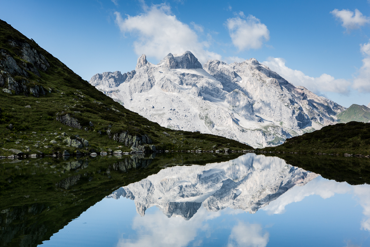
Curated by Montafon Tourismus
Tschagguns
Schruns's twin across the Ill in the Montafon, its side valleys of Gauertal and Golm leading toward the Drei Türme of the Rätikon.
- 9Highlights
- 30Routes
Highlights
6 from neighbouring places
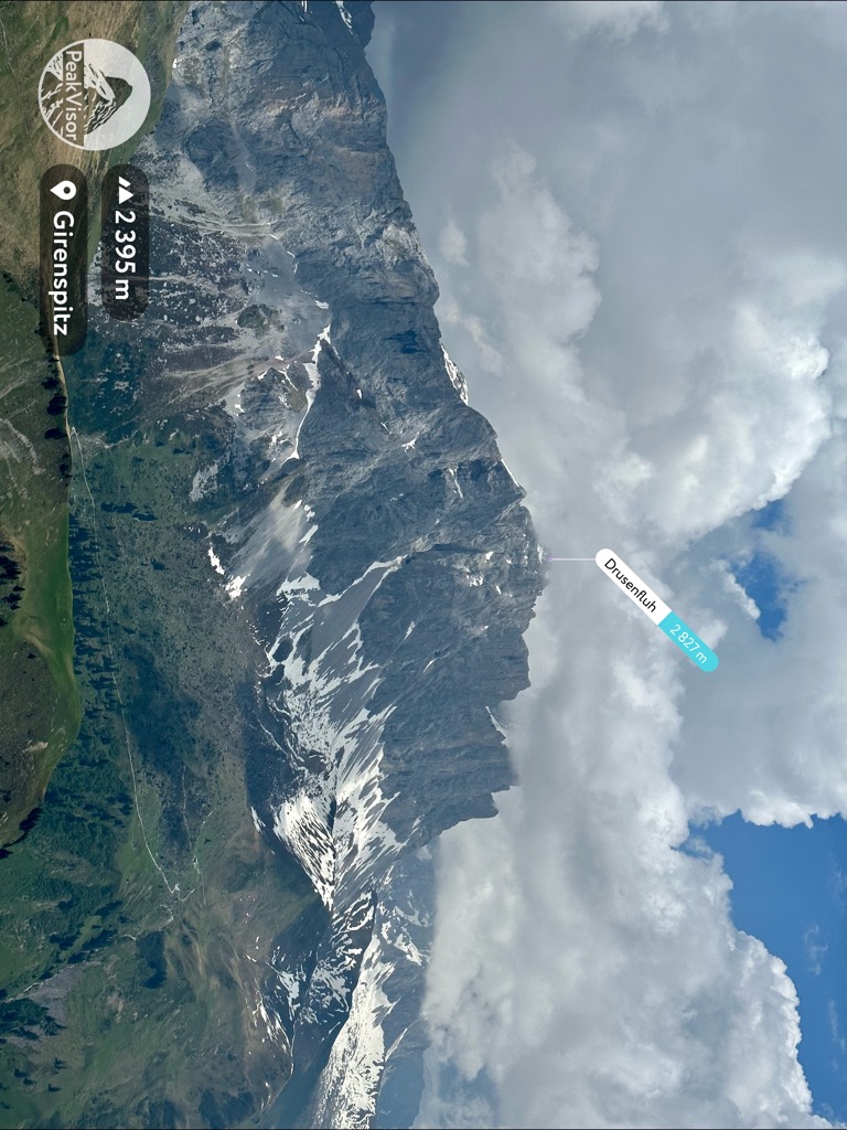
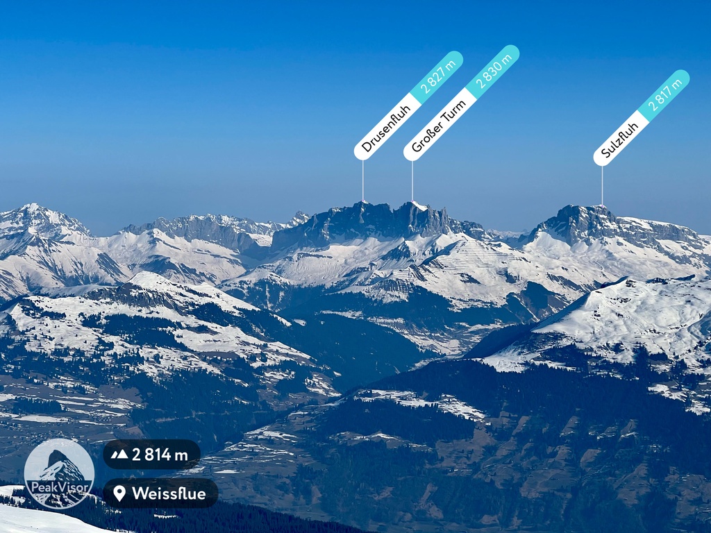
Drusenfluh
A massif between the Montafon and the Swiss Prättigau, among the ten highest in the Rätikon.
Flying-Fox Golm
A zip line at the Golm above Tschagguns in the Montafon, strung across the valley above the Latschau reservoir.
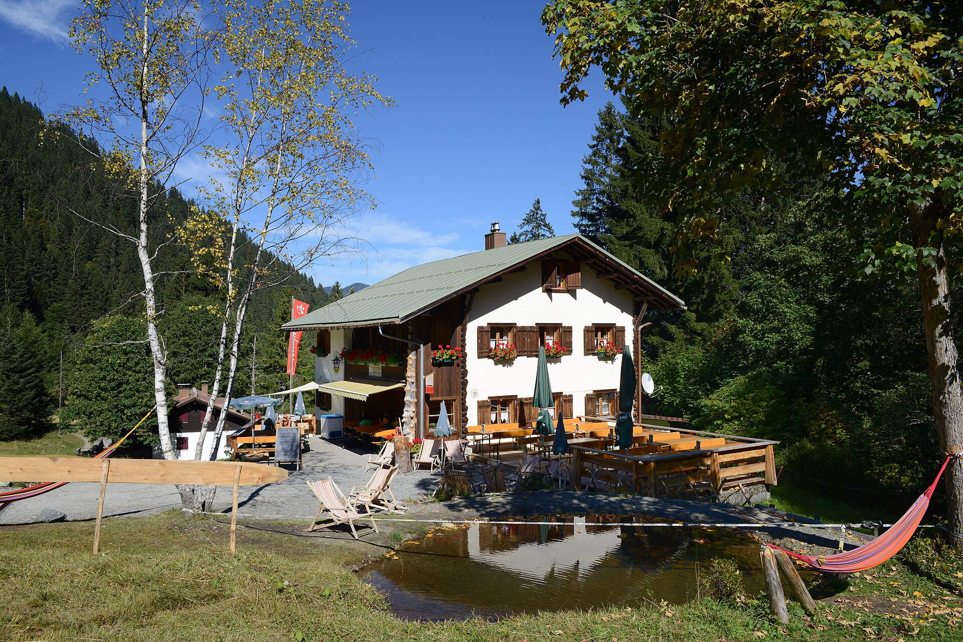
 Mountain hut Feel free to use my photos, but please mention me as the author and if you want send me a message · CC BY-SA 3.0 at
Gauertalhaus
A Naturfreunde hut in the Gauertal, reached on foot from Latschau.
Lindauer Hütte
A DAV hut in the Gauertal just below the tree line, at the foot of the Drei Türme.
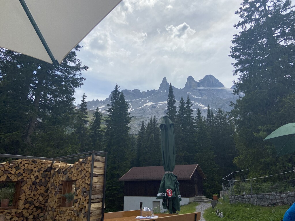
Mittlerer Turm
The middle of the Drei Türme, the three peaks that are the emblem of the Montafon.
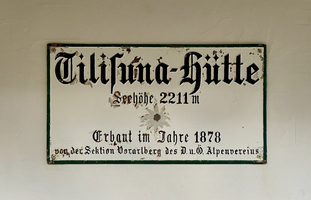
Tilisunahütte
An Alpine Club hut by the Tilisunasee, at the head of the Gampadelstal.
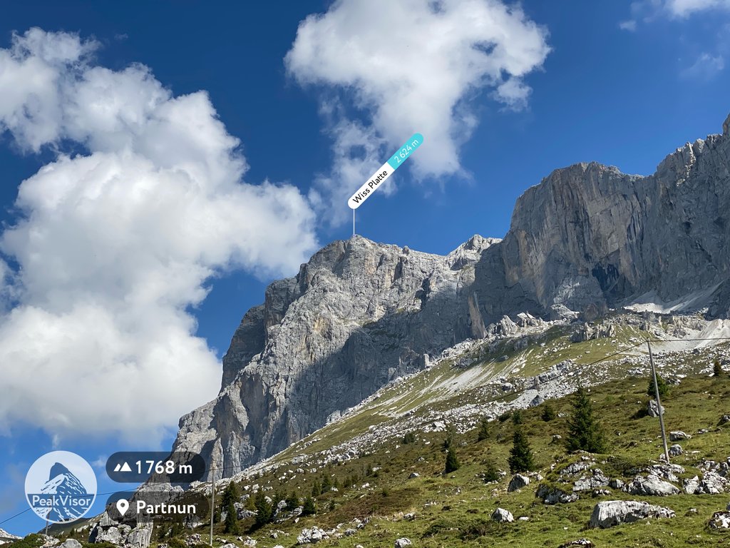
Wiss Platte
A Rätikon summit on the Swiss border, measured slightly differently on each side.
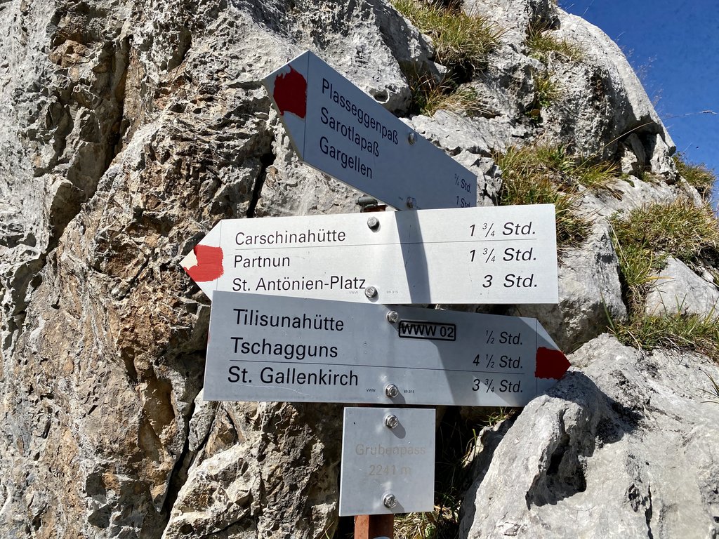
Grubenpass
A pass on the Rätikon crossing between Gargellen and the Tilisunahütte.
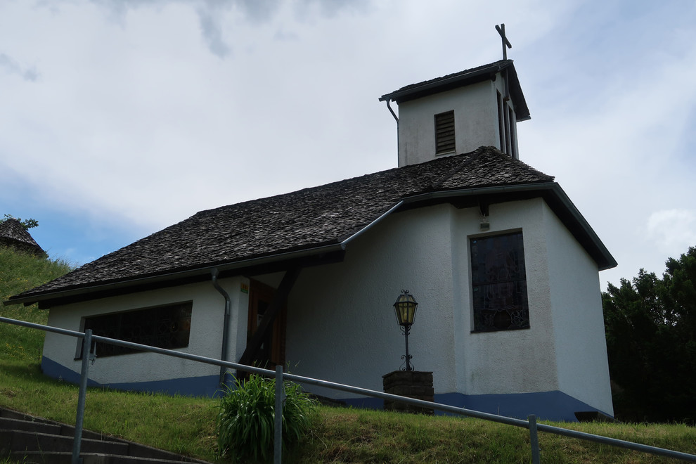
Kirche Latschau
The church of Latschau, on the shelf above Tschagguns by the reservoir.
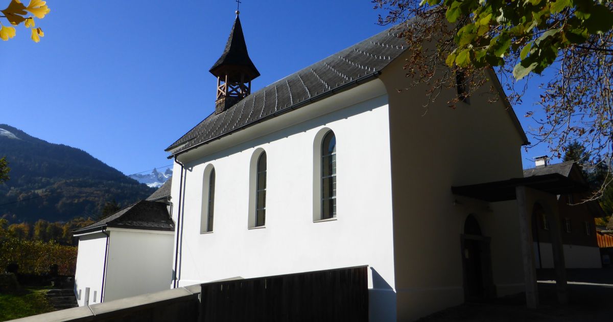
Kloster Gauenstein
5.2 km away, in Schruns
A monastery at Gauenstein on the slope above Schruns in the Montafon, with a chapel and a wide view down the valley.
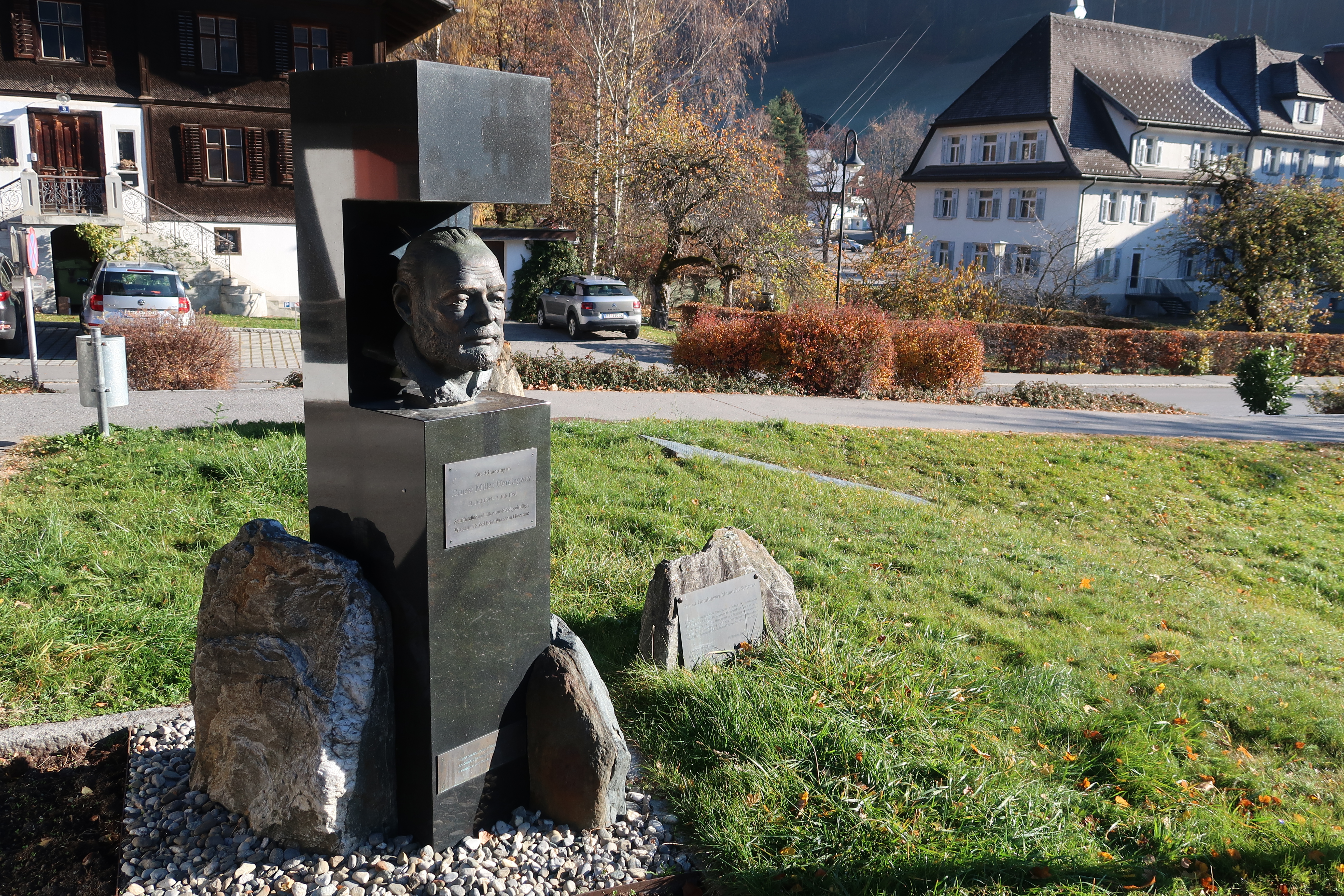
Ernest Hemingway Denkmal
5.6 km away, in Schruns
A monument raised in 1999 for the writer's centenary; he wintered in Schruns in the 1920s.
Montafoner Heimatmuseum
5.7 km away, in Schruns
The valley's own museum, kept by the Heimatschutzverein Montafon.
PeakVisor / OpenStreetMapKapelle Jetzmunt
6.5 km away, in Bartholomäberg
A small chapel on the sunny shelf between Vandans and Bartholomäberg.
Verajoch
7 km away, in Vandans
A saddle on the frontier ridge, on the high crossing from the Rellstal to the Lünersee.
Gipsköpfle
7.1 km away, in Vandans
A modest top at the head of the Rellstal, quiet because almost nobody goes there.

 Mountain pass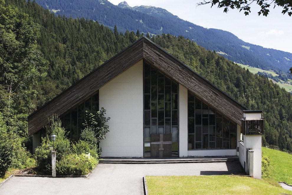
 Historic site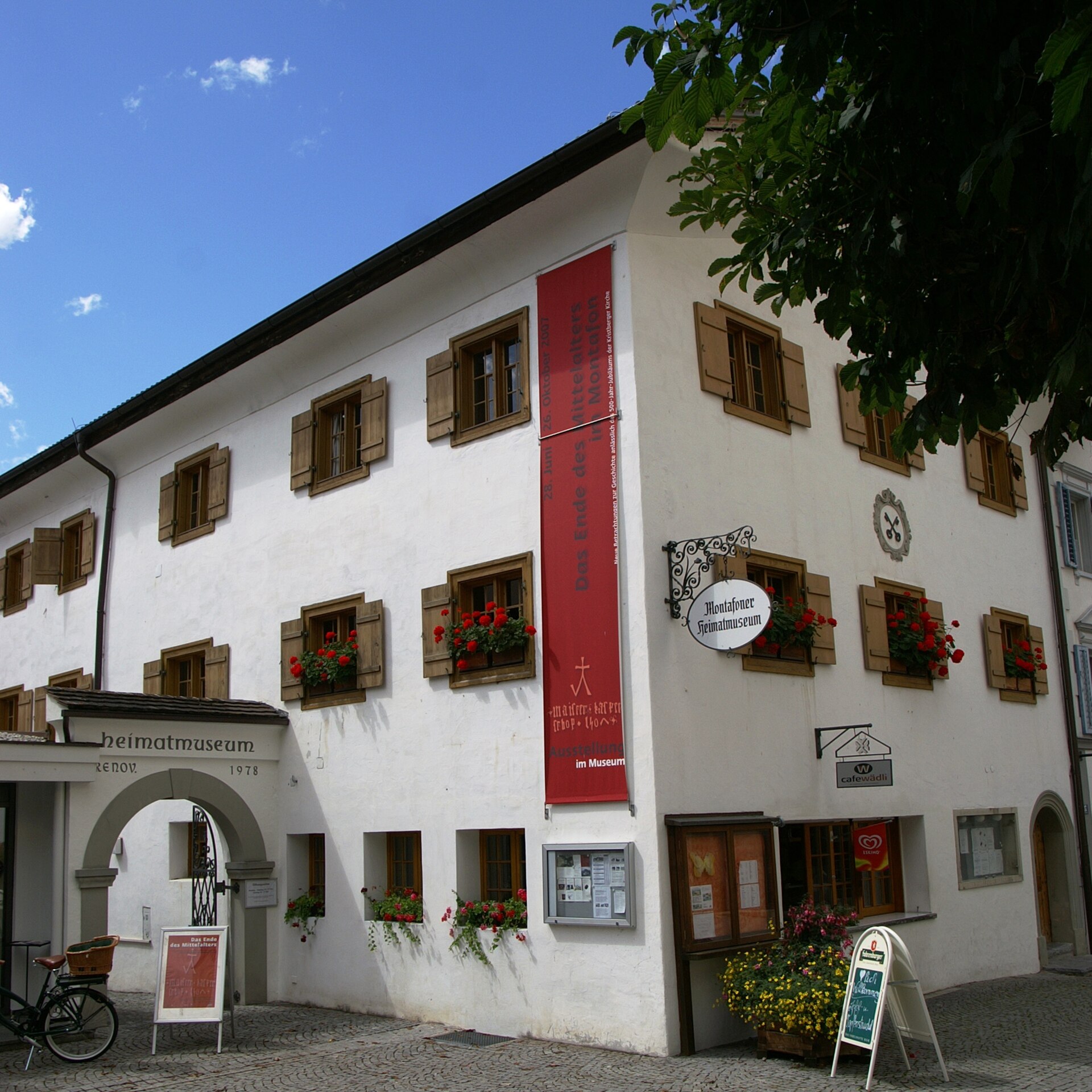
Nothing of this kind in Tschagguns.
Routes
Klettersteig Drusenfluh
A long alpine ferrata through the Blodigrinne to one of the highest summits of the Rätikon.
- 8.1 km
- Distance
- 1 083 m
- Ascent
- 7 h 57 min
- Duration
Open route Montafon TourismusKlettersteig Gauablick
A ferrata that runs through a natural cave in the middle of the wall — not one you forget.
- 7.9 km
- Distance
- 922 m
- Ascent
- 6 h 58 min
- Duration
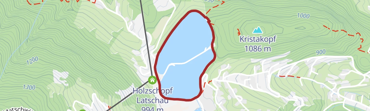
Open route Montafon TourismusKlettersteig Latschau
An easy practice ferrata at the Latschau reservoir, suitable for a first time on the wire.
- 1.6 km
- Distance
- 10 m
- Ascent
- 37 min
- Duration
Open route Montafon TourismusKlettersteig Partnunblick
A demanding ferrata in the best Rätikon limestone, steep and in places slightly overhanging.
- 6.7 km
- Distance
- 604 m
- Ascent
- 4 h 49 min
- Duration
Open route Montafon TourismusKlettersteig Sulzfluh
An alpine classic through the south face of the Sulzfluh, for practised ferrata climbers.
- 9.9 km
- Distance
- 879 m
- Ascent
- 7 h 3 min
- Duration
Open route Montafon Tourismus2-Tages-Hüttentour Heinrich-Hueter-Hütte
Two days over the Zimbajoch with a night at the Heinrich-Hueter-Hütte, under the Zimba's spire.
- 36.9 km
- Distance
- 2 860 m
- Ascent
- 18 h 33 min
- Duration
Open route Alpenregion VorarlbergLatschau - Tschaggunser Mittagspitze
A short, steep tour from Latschau to the Tschaggunser Mittagsspitze.
- 3.7 km
- Distance
- 0 m
- Ascent
- 0 m
- Descent
- 55 min
- Duration
Open route PeakVisor tTRL (OpenStreetMap piste_type=skitour)Latschau - Drei Türme
From Latschau up to the Drei Türme, the three peaks that stand for the Montafon.
- 9.8 km
- Distance
- 0 m
- Ascent
- 0 m
- Descent
- 2 h 24 min
- Duration
Open route PeakVisor tTRL (OpenStreetMap piste_type=skitour)Skitour auf die Tschaggunser Mittagsspitze
From Latschau through the Gauertal and past the Alpilaalpe to the Tschaggunser Mittagsspitze.
- 13.4 km
- Distance
- 1 087 m
- Ascent
- 1 087 m
- Descent
- 4 h 41 min
- Duration
Open route Montafon TourismusBike & Hike Golmer Joch
Ridden and then walked to the Golmer Joch, for a full turn of the Rätikon.
- 31.5 km
- Distance
- 1 496 m
- Ascent
- 4 h 14 min
- Duration
Open route Montafon Tourismus2-Tages-Hüttentour Lindauer Hütte
A two-day round past the Lünersee with a night at the Lindauer Hütte, over into the Montafon and back.
- 30.2 km
- Distance
- 2 302 m
- Ascent
- 15 h
- Duration
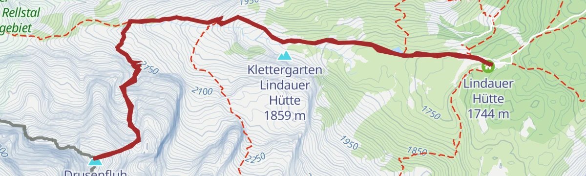
Open route Alpenregion VorarlbergLatschau - Drusentor
From Latschau up to the Drusentor, the gap in the wall below the Drusenfluh.
- 8.1 km
- Distance
- 0 m
- Ascent
- 0 m
- Descent
- 1 h 59 min
- Duration
Open route PeakVisor tTRL (OpenStreetMap piste_type=skitour)Bike und Hike Tilisunahütte
From the valley floor to 2,200 m through the Gampadelstal to the Tilisunahütte.
- 33.9 km
- Distance
- 1 591 m
- Ascent
- 4 h 30 min
- Duration
Open route Montafon Tourismus3-Tages-Hüttentour um den Lünersee
Three days around the Lünersee, with nights at the Heinrich-Hueter and the Lindauer huts.
- 28.5 km
- Distance
- 1 731 m
- Ascent
- 11 h 58 min
- Duration
Open route Vorarlberg TourismusLatschau - Kreuzjoch
A long climb from Latschau to the Kreuzjoch, out of the valley bottom to the ridge.
- 7.1 km
- Distance
- 0 m
- Ascent
- 0 m
- Descent
- 1 h 44 min
- Duration
Open route PeakVisor tTRL (OpenStreetMap piste_type=skitour)Golm Tour
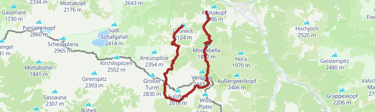
A round of the Golm by the Ganeu forest road and the Grüneck station, returning through Latschau.
- 32.3 km
- Distance
- 1 344 m
- Ascent
- 4 h 8 min
- Duration
Open route Montafon Tourismus4-Tages-Hüttentour Schesaplana (Etappe 1)
The opening day of the four-day hut round that takes in the Schesaplana, the highest summit of the Rätikon.
- 17.2 km
- Distance
- 1 564 m
- Ascent
- 8 h 33 min
- Duration
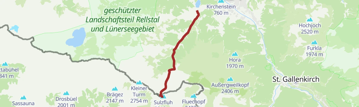
Open route Alpenregion VorarlbergLatschau - Sulzfluh
The Sulzfluh from Latschau on skis, climbing the whole height of the valley wall.
- 8.2 km
- Distance
- 0 m
- Ascent
- 0 m
- Descent
- 1 h 60 min
- Duration
Open route PeakVisor tTRL (OpenStreetMap piste_type=skitour)Tilisunaalpe Tour
A varied ride by Bitschweil and the fish ponds up to the Tilisuna alp.
- 29.7 km
- Distance
- 1 411 m
- Ascent
- 3 h 59 min
- Duration
Open route Montafon TourismusBergtour auf die Drei Türme
The Drei Türme, whose unmistakable silhouette is the emblem of the Montafon.
- 21.2 km
- Distance
- 1 899 m
- Ascent
- 11 h 55 min
- Duration
Open route Montafon TourismusSkitour zur Lindauer Hütte (1.744 m)
A beginner's ski tour to the Lindauer Hütte, facing the Drei Türme.
- 14.0 km
- Distance
- 795 m
- Ascent
- 795 m
- Descent
- 4 h 27 min
- Duration
Open route Montafon TourismusBergtour auf die Tschaggunser Mittagspitze (ab Latschau)
Up from Latschau by the Tobelsee and the Schwarzhornsattel to the Mittagspitze.
- 11.4 km
- Distance
- 1 158 m
- Ascent
- 7 h 6 min
- Duration
Open route Montafon TourismusTschagguns - Weißplatte
A very long ski tour from the valley floor at Tschagguns to the Weißplatte — over 1,900 m of climbing.
- 10.3 km
- Distance
- 0 m
- Ascent
- 0 m
- Descent
- 2 h 30 min
- Duration
Open route PeakVisor tTRL (OpenStreetMap piste_type=skitour)Gipfelwanderung von der Tilisunaalpe auf die Sulzfluh
From the Tilisuna alp up to the summit of the Sulzfluh, on the Swiss frontier.
- 12.5 km
- Distance
- 921 m
- Ascent
- 6 h 2 min
- Duration
Open route Montafon TourismusHüttentour Rätikon Süd "Leicht"
A hut walk along the south side of the Rätikon, under its steep limestone walls.
- 24.0 km
- Distance
- 1 076 m
- Ascent
- 9 h 51 min
- Duration
Open route Montafon TourismusMontafoner Hüttenrunde
From Gargellen over the Sarottlajoch and the Plasseggenpass to the Tilisunahütte.
- 9.9 km
- Distance
- 1 117 m
- Ascent
- 5 h 13 min
- Duration
Open route Montafon TourismusMontafoner Rätikonrunde
A high stage of the Rätikon round, crossing several saddles on the way to the Lünersee.
- 13.4 km
- Distance
- 973 m
- Ascent
- 6 h 16 min
- Duration
Open route Montafon TourismusRund um die Tschaggunser Mittagsspitze
A full round of the Tschaggunser Mittagsspitze by the Schwarzhornsattel and the Tilisunahütte.
- 21.5 km
- Distance
- 1 304 m
- Ascent
- 9 h
- Duration
Open route Montafon TourismusRundtour zur Tilisunahütte
A round to the Tilisunahütte, with the Tobelsee tucked into the slope as its high point.
- 16.5 km
- Distance
- 967 m
- Ascent
- 8 h 1 min
- Duration
Open route Montafon TourismusVom Lünersee zur Lindauer Hütte
A crossing past the Lünersee to the Lindauer Hütte, ending in the Montafon rather than back in the Brandnertal.
- 22.8 km
- Distance
- 1 560 m
- Ascent
- 10 h 34 min
- Duration
Open route Alpenregion Vorarlberg











No routes of this kind in Tschagguns yet.
Planning a trip to Tschagguns?
Everything else Vorarlberg has, in one place


Take Tschagguns with you into the mountains
Every route on this page with 3D terrain, GPX navigation and offline maps — including the valleys with no signal.
Data sources
- Official website: montafon.at ↗
- Routes and highlights: Montafon Tourismus, PeakVisor / OpenStreetMap, PeakVisor tTRL (OpenStreetMap piste_type=skitour), Alpenregion Vorarlberg, Bodensee-Vorarlberg Tourismus, Dornbirn, Vorarlberg Tourismus
- Published as open data by the tourist boards named above.
- Region summary generated from the board's own material.
