




Curated by Garda Trentino
Tremosine sul Garda
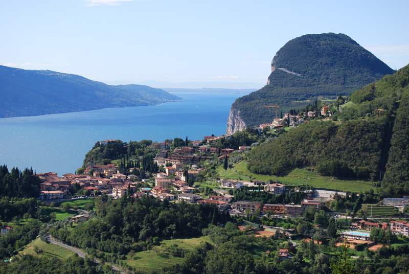
Comune on the terrace 400 metres above Lake Garda, reached by the road cut through the Brasa gorge.
- 7Highlights
- 13Routes
- Featured summit · Monte Bestone
Highlights
All 7 from neighbouring places
Ethnographisches Museum von Valvestino
8 km away, in Magasa
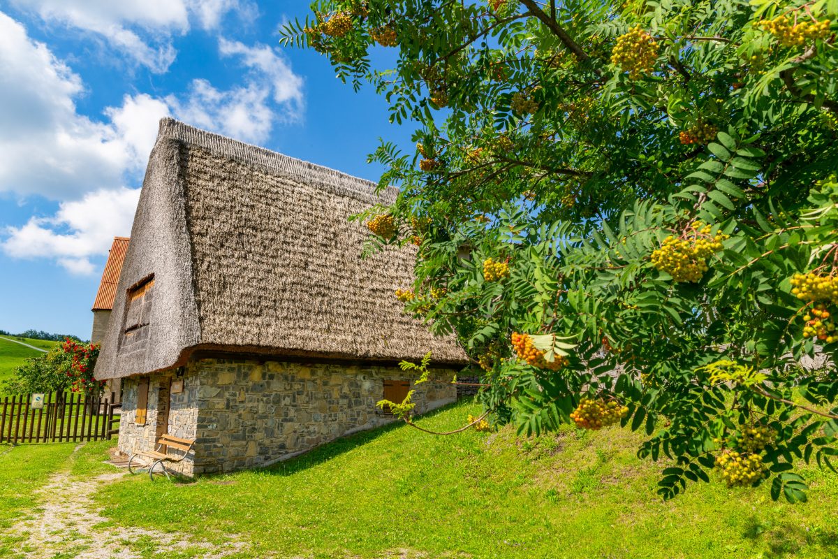
A museum of Valvestino history and tradition at Magasa, housed in one of the old hay barns of the Cima Rest plateau.
Museo delle Palafitte del Lago di Ledro
9.5 km away, in Ledro
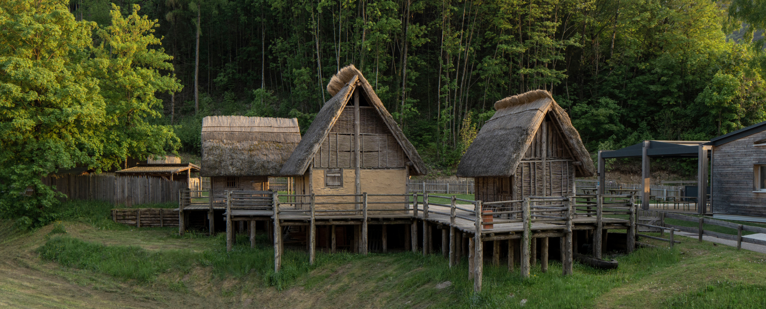
A museum on the Bronze Age pile dwellings found in Lake Ledro, built over part of the excavated site.
Lago di Ledro
9.6 km away, in Ledro
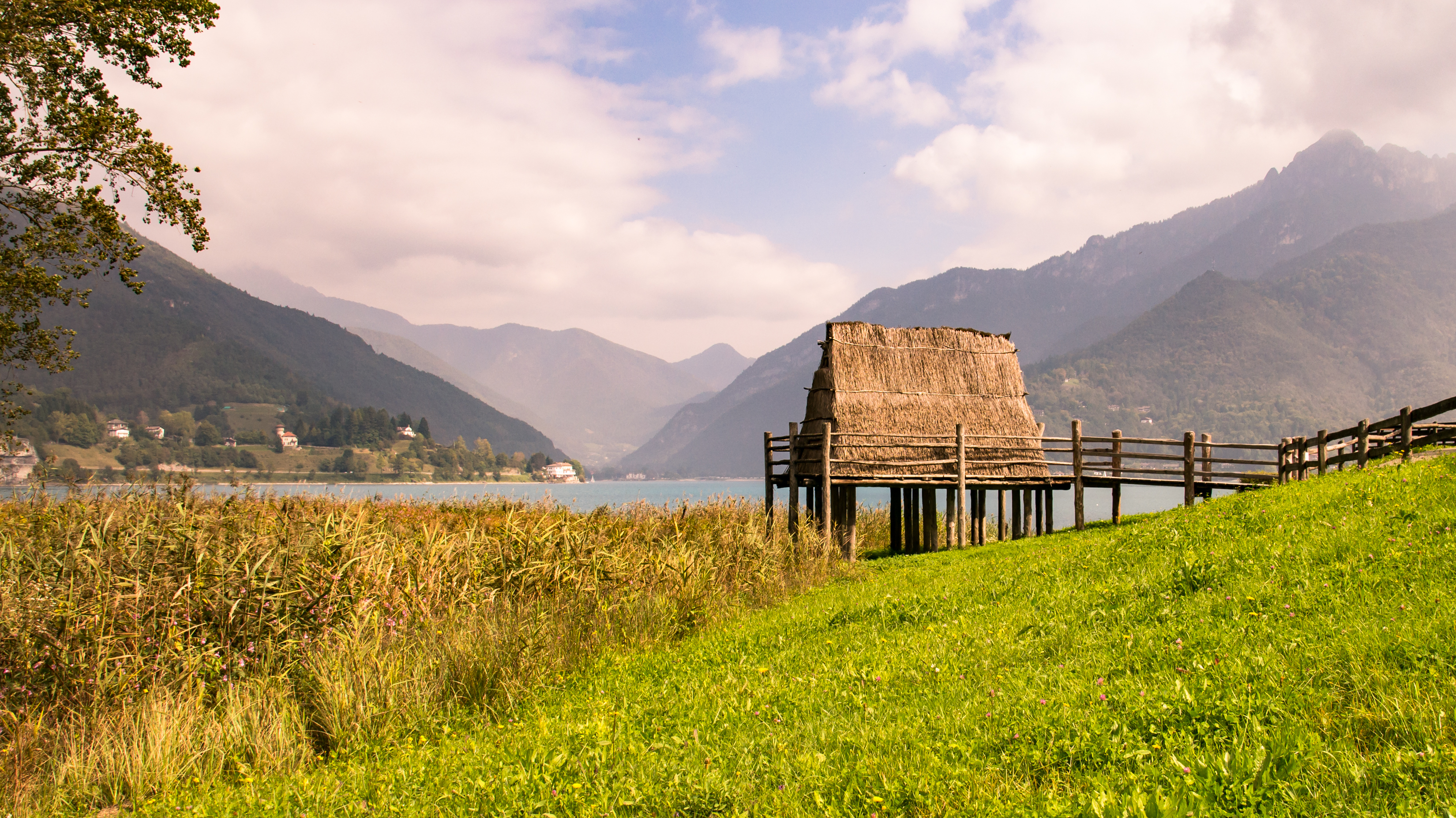
A lake at 655 m in the Ledro valley west of Riva del Garda, with a Bronze Age pile-dwelling site on its shore.
Rifugio Altissimo Damiano Chiesa
12.5 km away, in Brentonico
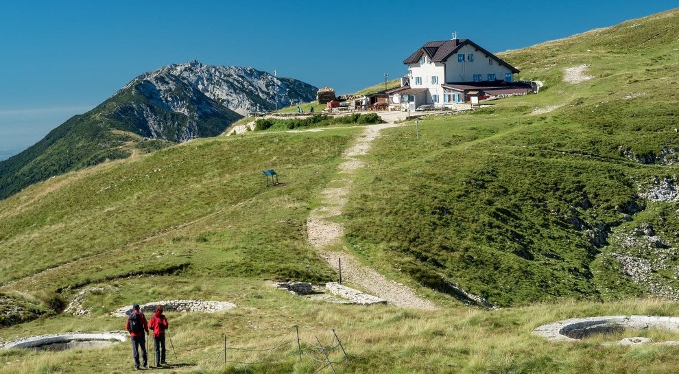
A hut just below the Altissimo di Nago, the northern summit of Monte Baldo, looking down on Lake Garda.
Rifugio Monte Baldo
13.2 km away, in Avio
A hut on the Baldo ridge above Avio, looking down to Lake Garda.
Baita del Trett
14.1 km away, in Brentonico
A hut on the San Valentino side of Monte Baldo, among the summer pastures.
Agritur El Casel Malga Mortigola
15 km away, in Brentonico
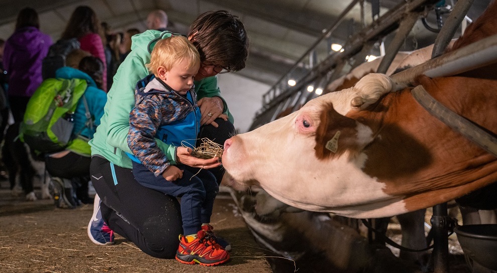
A working dairy on the Mortigola pastures of Monte Baldo, serving what it makes.
Nothing of this kind in Tremosine sul Garda.
Routes
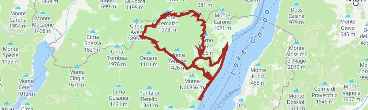
View from Tremalzo
A walk on the Tremalzo ridge above Ledro, botanically rich with plants found nowhere else.
- 4.3 km
- Distance
- 181 m
- Ascent
- 1 h 27 min
- Duration
- 33
- Check-ins
 Bocca Di Val Marza 1 885 m
 Passo di Tremalzo 1 664 m
- Tunnel Corno della Marogna 1 855 m
 Rifugio Garda 1 702 m
- Bocca di Val Marza 1 787 m
Open route Garda TrentinoCima Avez
An old military road running near level to Cima Avèz on the Trentino-Lombardy border, through the Tremalzo flora known for its endemic plants, facing the Adamello and Lake Garda.
- 9.1 km
- Distance
- 300 m
- Ascent
- 2 h 52 min
- Duration
- 24
- Check-ins
- Cima Avèz 1 895 m
- Monte Lavino 1 837 m
- Passo di Tremalzo 1 664 m
- Rifugio Garda 1 702 m
- Passo del Dil 1 721 m
- Passo del Cap 1 786 m
Open route Garda TrentinoLedro Alps Trek Alpiedi - Leg 2: from Tremalzo to Bivacco Arcioni
A long stage from Tremalzo to the Arcioni bivouac in the mild, Mediterranean air off Lake Garda; the bivouac key must be collected at the Pieve di Ledro tourist office.
- 23.6 km
- Distance
- 1 350 m
- Ascent
- 11 h 9 min
- Duration
- 121
- Check-ins
- Monte Nota 1 380 m
- Bivacco Arcioni 858 m
- Passo di Tremalzo 1 664 m
- Passo Nota 1 204 m
- Rifugio Alpini Passo Nota 1 207 m
- Passo Guil 1 209 m
- +10
Open route Garda TrentinoL’anello del Tremalzo
A long gravel circuit from the shore of Lago di Garda up to the Passo di Tremalzo and Passo Nota, with more than 2,000 m of climbing.
- 68.4 km
- Distance
- 2 069 m
- Ascent
- 8 h 1 min
- Duration
- 106
- Check-ins
Limone - Tignale - Tremosine
A hard loop through the tunnels of the Gardesana Occidentale, then twice up to the villages on the terraces high above the western shore.
- 62.9 km
- Distance
- 2 937 m
- Ascent
- 8 h 21 min
- Duration
- 182
- Check-ins
- Casermetta 143 m
- Cantoniera Riva del Garda 71 m
- Info Point Porto di Riva 68 m
- Garda Dolomiti Azienda per il turismo S.p.A. 69 m
- Villa Zagara 78 m
- Ufficio Informazioni 102 m
- +13
Open route Garda TrentinoMonte Bestone: un balcone sul Garda
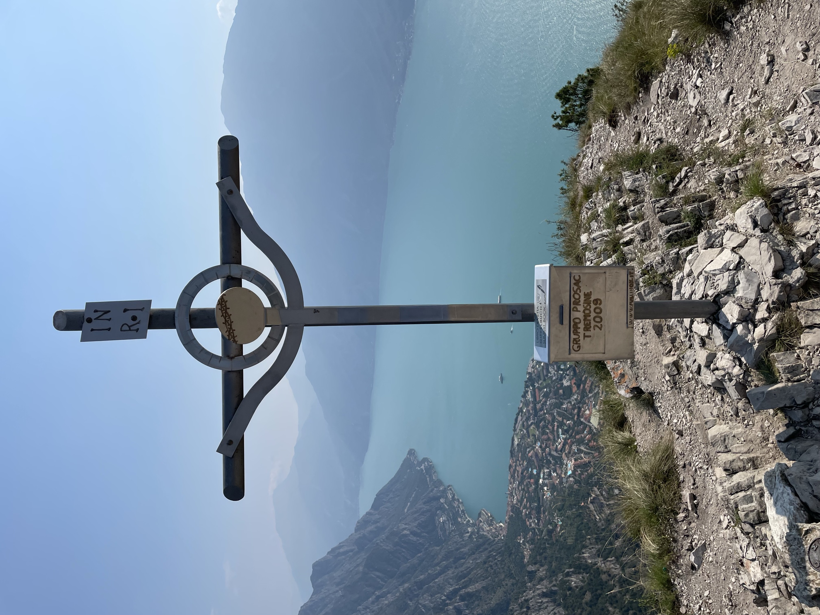
A short climb to Monte Bestone, a rock balcony on the Tremosine terrace with Lake Garda straight below.
- 3.5 km
- Distance
- 265 m
- Ascent
- 1 h 44 min
- Duration
- 22
- Check-ins
Dall’altopiano al lago
A descent from the Tremosine plateau to the shore of Lake Garda, dropping the full height of the cliffs.
- 7.0 km
- Distance
- 736 m
- Ascent
- 4 h 29 min
- Duration
- 5
- Check-ins
Ledro Alps Trek Alpiedi - Leg 1: from Storo to Tremalzo
A long first stage from Storo through woods, trenches and old tunnels to the open ground of Tremalzo, crossing the Bocca di Cablone and the Passo del Cap.
- 27.7 km
- Distance
- 2 480 m
- Ascent
- 13 h 12 min
- Duration
- 25
- Check-ins
- Cima del Fratone 1 794 m
- Monte Lavino 1 837 m
- Cima di Berlinghera 1 801 m
- Passo di Tremalzo 1 664 m
- Rifugio Garda 1 702 m
- Malga Tombea 1 840 m
- +11
Open route Garda TrentinoGiro del Tremalzo MTB
A gravel loop from Vesio over the Passo Nota and the Passo Prà della Rosa to the Passo di Tremalzo, through the tunnel under the Corno della Marogna.
- 39.6 km
- Distance
- 1 406 m
- Ascent
- 4 h 49 min
- Duration
- 77
- Check-ins
Tremosine’s Forra Road
A ride down the lake past Limone and up the narrow 1913 road that threads a gorge in tunnels and galleries, which Churchill called an eighth wonder.
- 43.3 km
- Distance
- 1 462 m
- Ascent
- 5 h 13 min
- Duration
- 166
- Check-ins
- Casermetta 143 m
- Cantoniera Riva del Garda 71 m
- Info Point Porto di Riva 68 m
- Garda Dolomiti Azienda per il turismo S.p.A. 69 m
- Villa Zagara 78 m
- Ufficio Informazioni 102 m
- +7
Open route Garda TrentinoAvèz Peak
A mostly level walk on the Tremosine plateau to Cima Avèz, with only a short rise at the end, fit for families.
- 2.7 km
- Distance
- 135 m
- Ascent
- 50 min
- Duration
- 5
- Check-ins
Open route APT Madonna di Campiglio, Pinzolo, Val RendenaIl Cammino del rispetto
A long circuit above Tremosine sul Garda, linking the plateau villages with the high pastures towards Tremalzo.
- 25.1 km
- Distance
- 1 585 m
- Ascent
- 10 h 49 min
- Duration
- 5
- Check-ins
Val Negrini, sentiero delle tracce
A demanding route up the Val Negrini above Tremosine, climbing from the Garda slope to the ridges of the Alto Garda park.
- 12.7 km
- Distance
- 4 013 m
- Ascent
- 21 h 30 min
- Duration
No routes of this kind in Tremosine sul Garda yet.
The region's own picks

Featured route
View from Tremalzo
A walk on the Tremalzo ridge above Ledro, botanically rich with plants found nowhere else.
Planning a trip to Tremosine sul Garda?
Everything else Lombardy has, in one place


Take Tremosine sul Garda with you into the mountains
Every route on this page with 3D terrain, GPX navigation and offline maps — including the valleys with no signal.
Data sources
- Official website: gardalombardia.com ↗
- Routes and highlights: Garda Trentino, in Lombardia, Visitrovereto, Visitbrescia, Italia.it, APT Madonna di Campiglio, Pinzolo, Val Rendena
- Published as open data by the tourist boards named above.
- Region summary generated from the board's own material.
