
 Viewpoint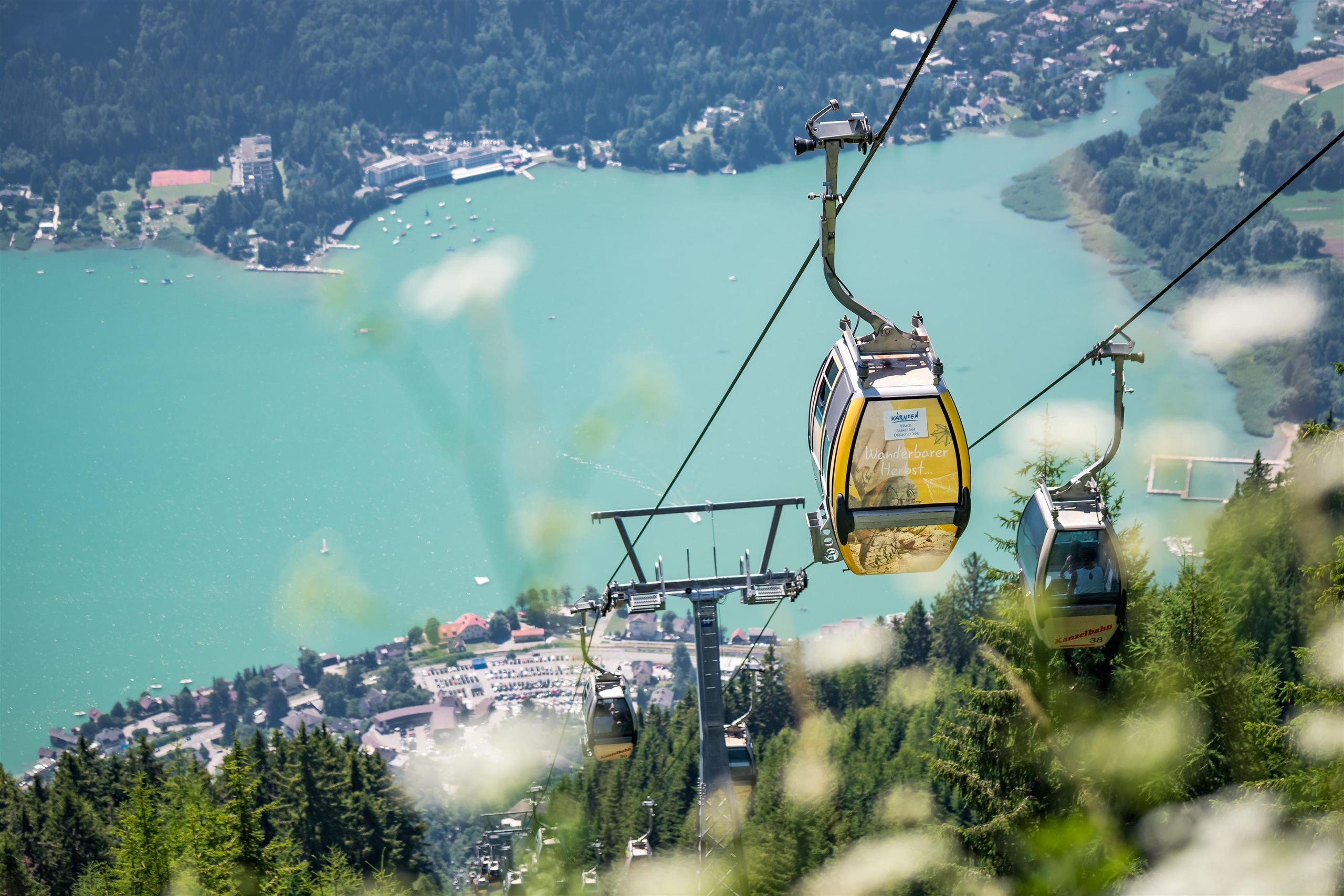
 Cable car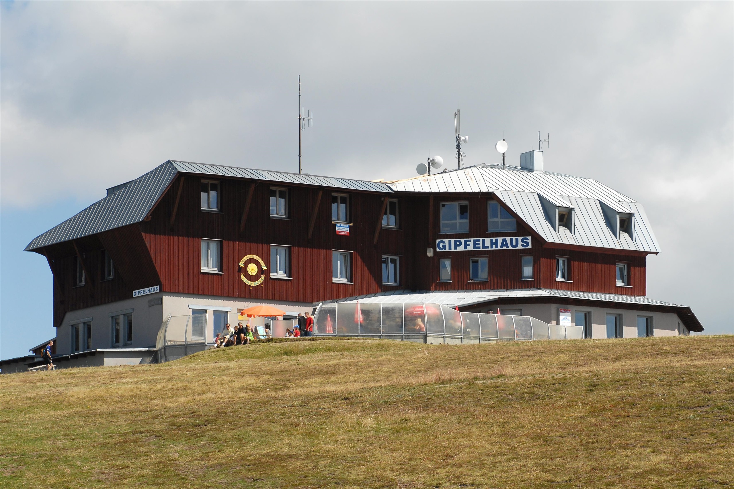



 Historic site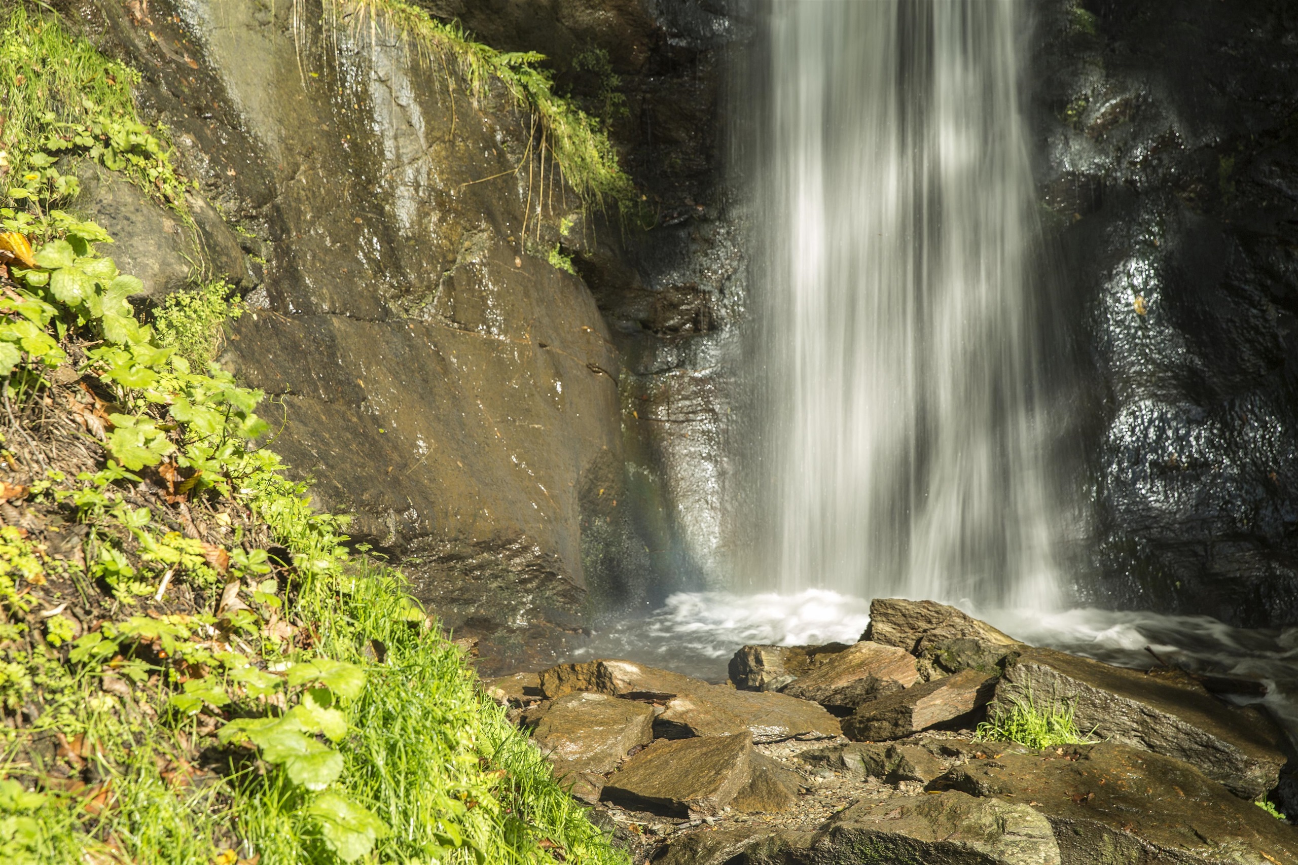
















Curated by Villach Tourismus
Treffen am Ossiacher See
At the north-west corner of the Ossiacher See where the Gerlitzen cable car climbs from Annenheim, villages spread between lakeshore lidos and the sunny slopes above.
- 23Highlights
- 33Routes
- Featured summit · Mirnock
Highlights
The 20 highest-rated · see the rest on visitvillach.at ↗
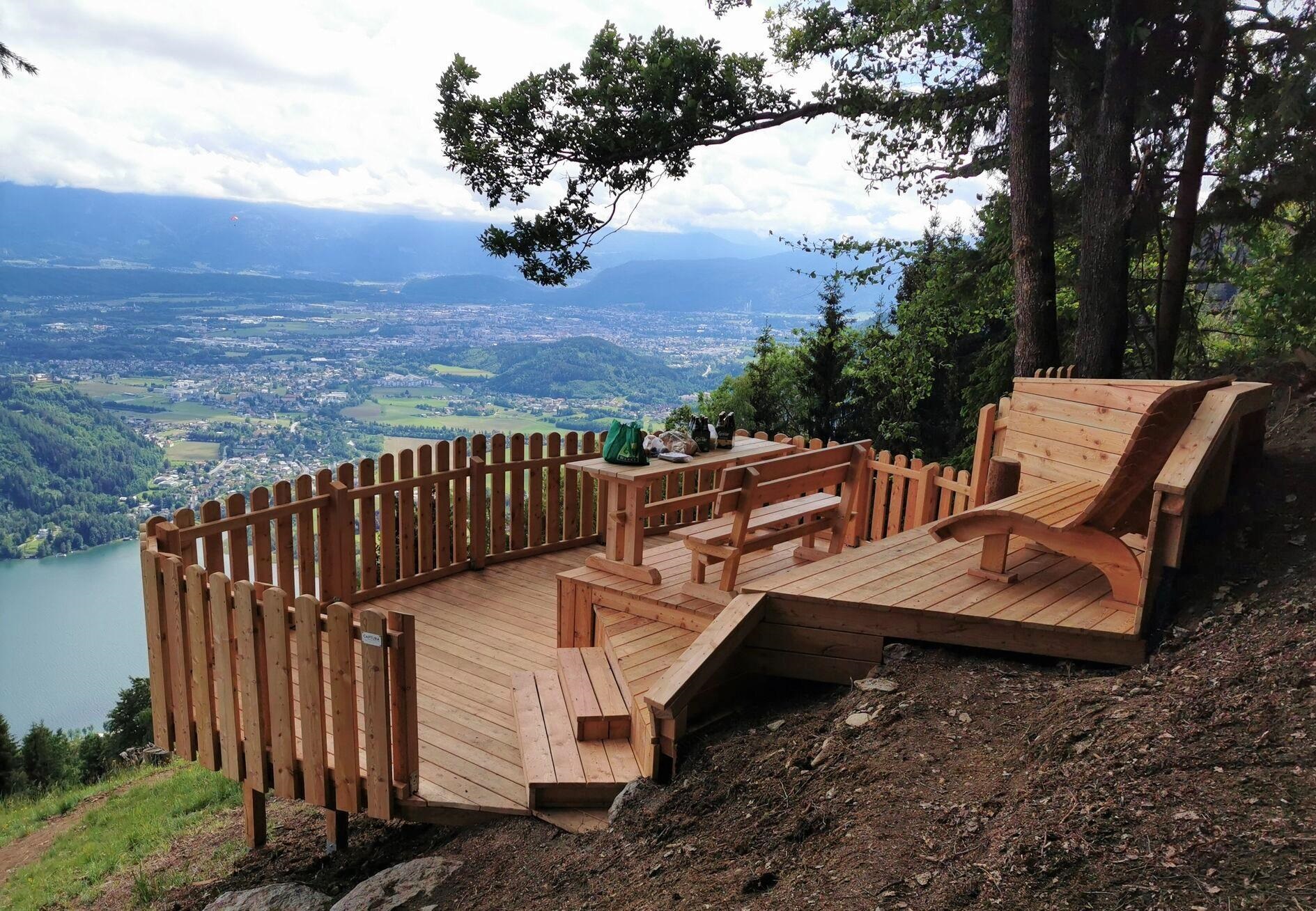
Aussichtsplattform "Paragleiter"
A viewing platform on the Gerlitzen above Sattendorf named for the paragliders who launch nearby, overlooking the Ossiacher See.
Bergbahnen Gerlitzen Alpe
A cable-car system rising from Annenheim on the Ossiacher See to the Gerlitzen, a 1,911 m panoramic ski and walking mountain.
Gerlitzen Gipfelhaus
A summit restaurant at 1,911 m on top of the Gerlitzen, at the mountain lift's top station, with a panorama over the Ossiacher See and the Julian Alps.
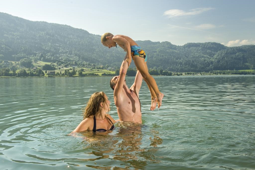
Gerlitzenbad Annenheim
A lakeside lido at Annenheim on the Ossiacher See, offering swimming, boating and other water sports below the Gerlitzen.
Kammerhütte
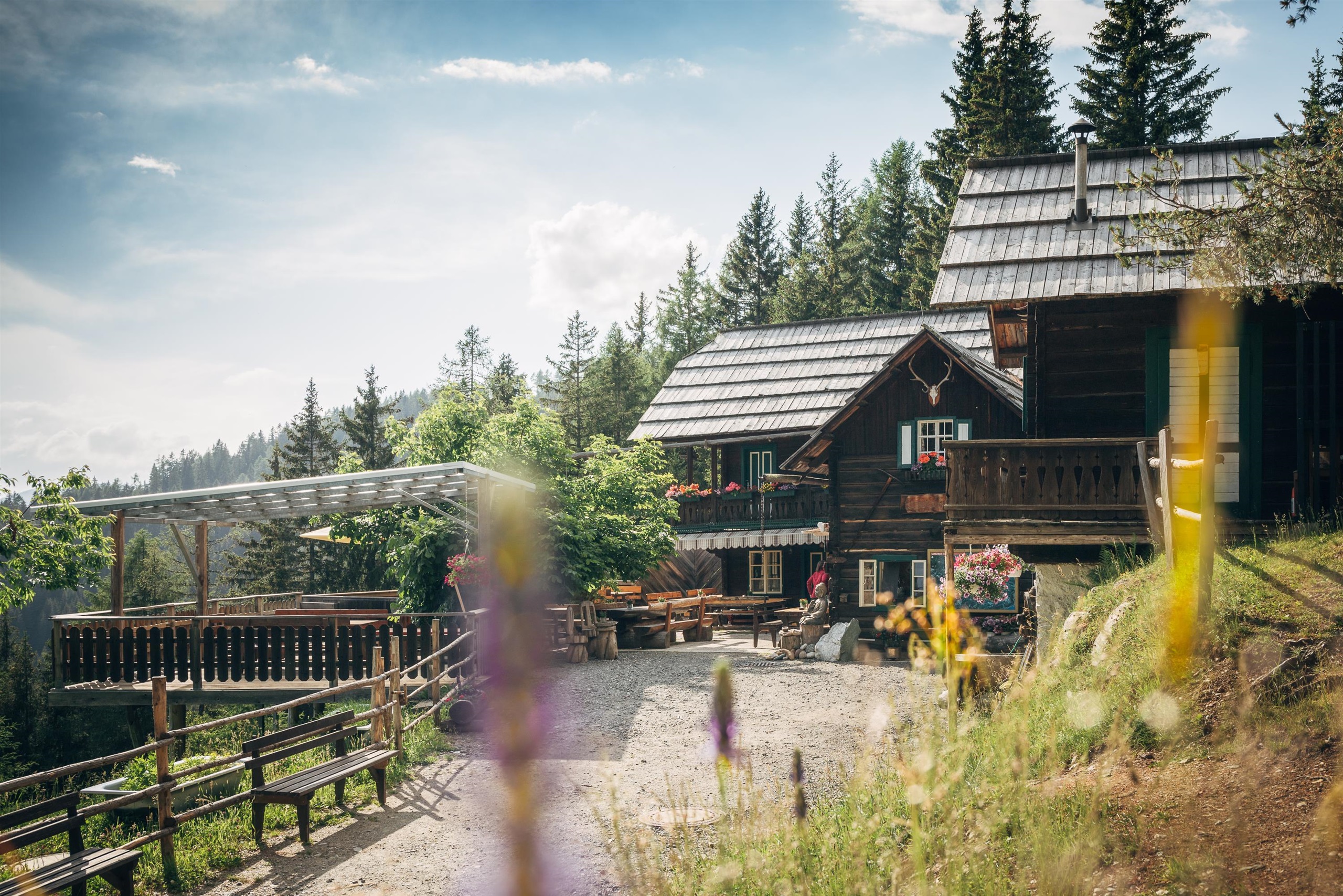
A pasture hut high on the Gerlitzen above Treffen am Ossiacher See, serving simple home cooking to skiers and summer walkers.
Pöllinger Hütte
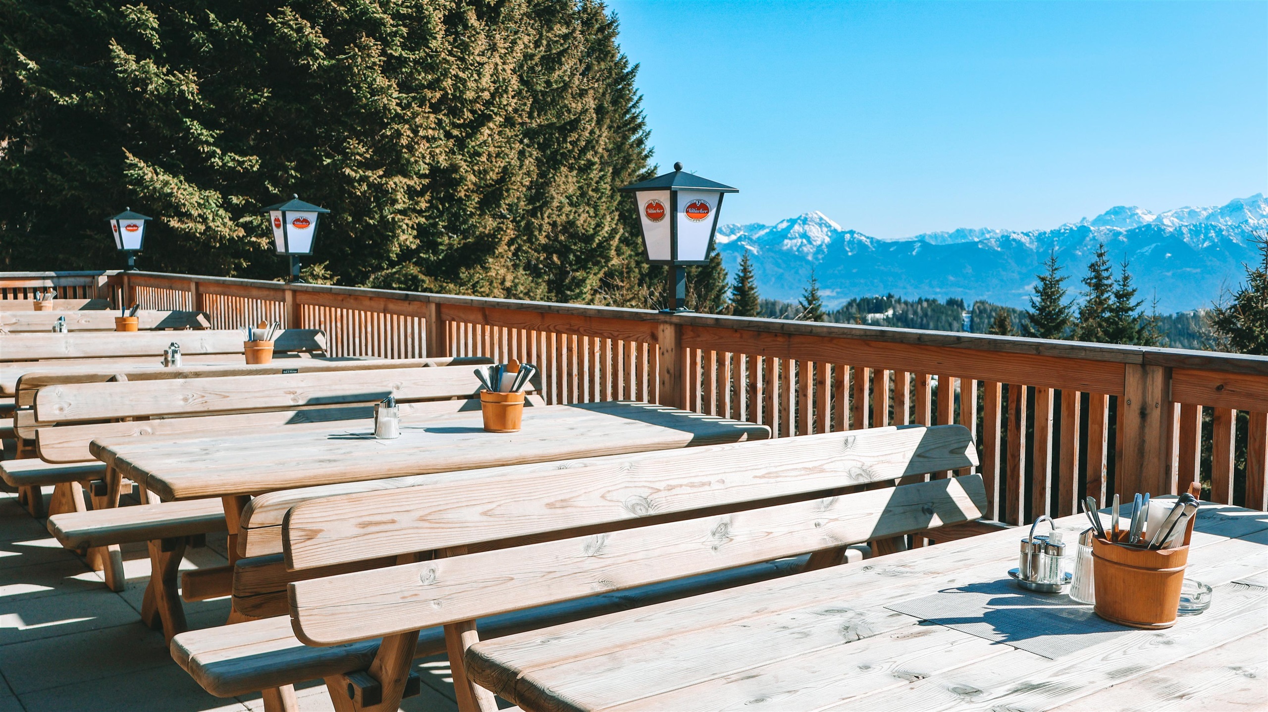
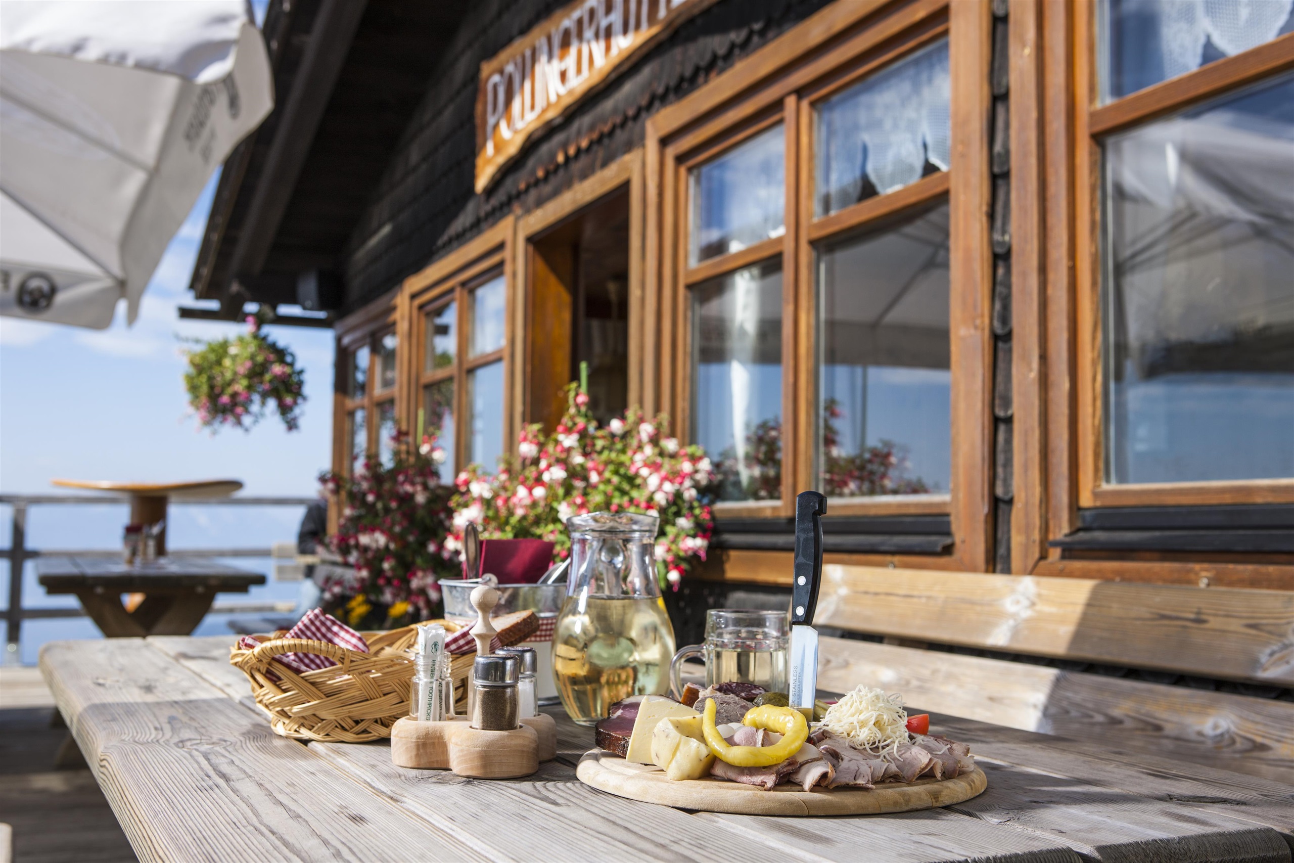
An alpine hut on the southern slopes of the Gerlitzen above the Ossiacher See, serving regional home cooking beside the ski runs and walking paths.
Schwarzseehütte
A pasture hut near the small Schwarzsee above Verditz in the Villach region, serving Austrian home cooking and its own farm produce.
Steinwenderhütte
A pasture hut on the western Gerlitzen above Treffen, serving regional home cooking with vegetarian and vegan dishes to skiers and walkers.
Strandbad Christa
A bathing beach at Annenheim on the Ossiacher See, with rowing boats, canoes and stand-up paddleboards for rent.
Sunn Alm Gerlitzen
A modern mountain restaurant and bar on the Gerlitzen slopes near the Kanzelhöhe, serving Italian and regional dishes with a sun terrace above the Ossiacher See.
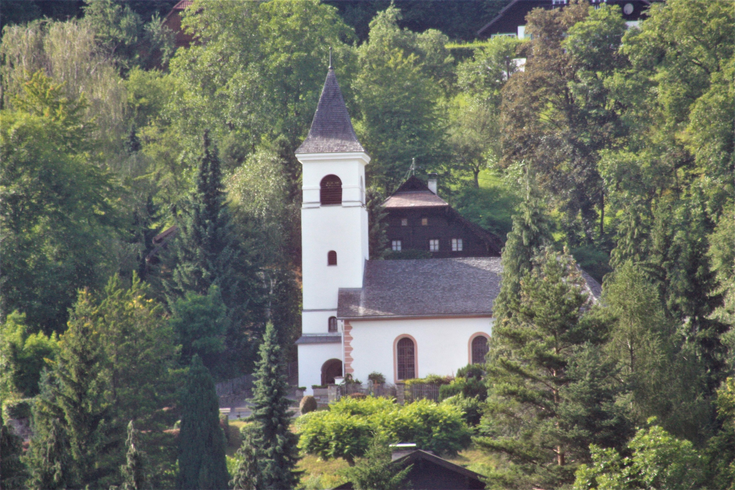
Nepomuk-Kapelle
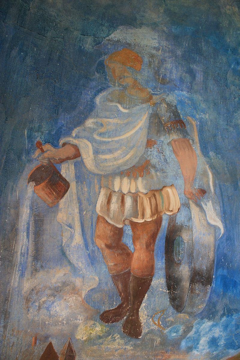
A baroque chapel of St John of Nepomuk at Treffen am Ossiacher See, a small historic monument north of Villach.
Finsterbach Wasserfälle
The waterfalls of the Finsterbach above Sattendorf, reached by a gorge-side trail climbing the Gerlitzen slopes over the Ossiacher See.
Observatorium Kanzelhöhe
A solar observatory at the Kanzelhöhe on the Gerlitzen, a University of Graz research station that opens for guided visits.
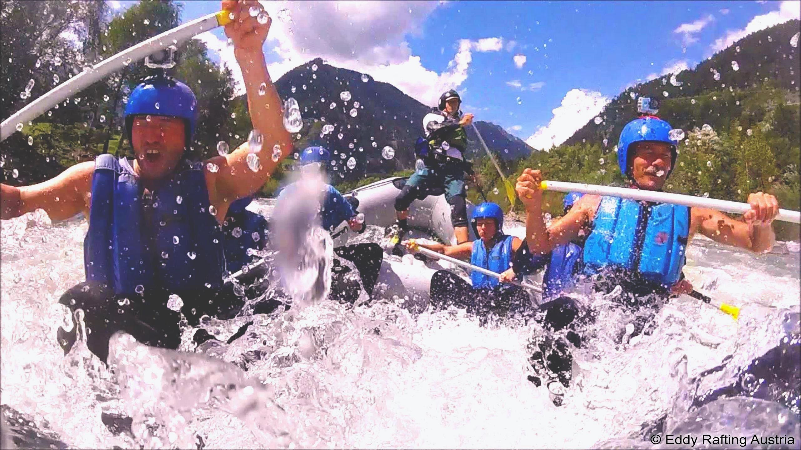
Eddy Rafting Austria
A rafting operator based at Treffen am Ossiacher See in Carinthia, running guided whitewater trips on the region's rivers for families and groups.
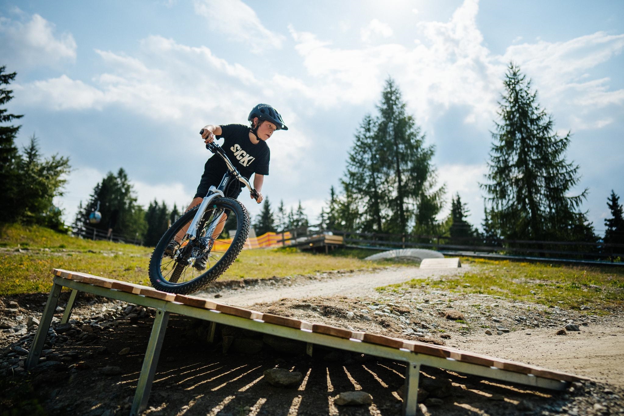
Kids Bike Park Gerlitzen
A beginner bike park on the Gerlitzen above the Ossiacher See, where children practise on easy lines and obstacles before moving on to the mountain's trails.
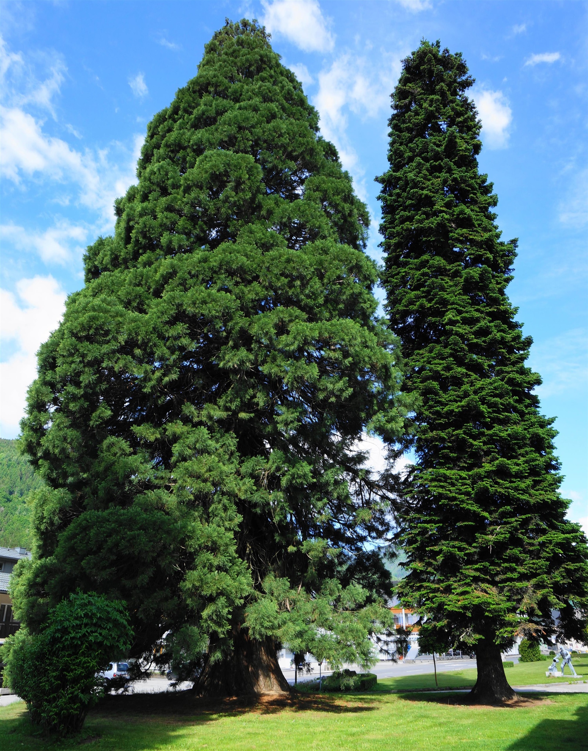
Der Riesenmammutbaum von Treffen
A giant sequoia at Treffen am Ossiacher See, protected as a natural monument and one of the largest trees of its kind in Carinthia.
Gasthof Kuchlerwirt
A traditional inn at Treffen am Ossiacher See in Carinthia, serving regional and international cooking in an old-established village guesthouse.
Katholische Pfarrkirche St. Bartholomäus
The Baroque parish church of Sattendorf on the north shore of the Ossiacher See, dedicated to St Bartholomew.
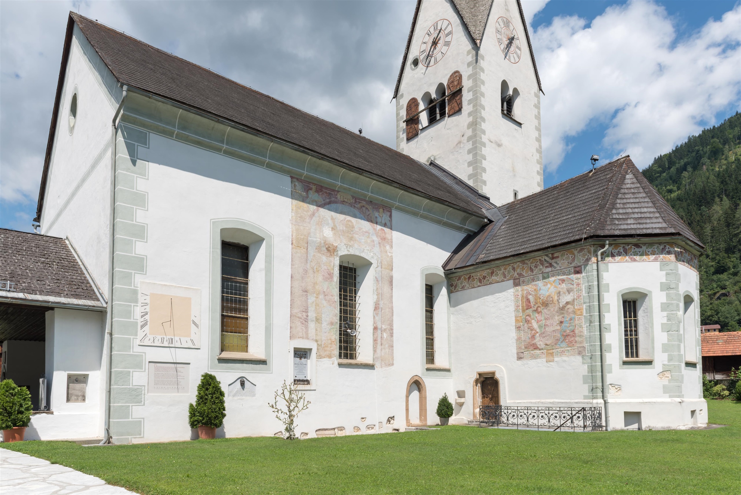
Katholische Pfarrkirche St. Maximilian
The parish church of Treffen am Ossiacher See, dedicated to St Maximilian, with Gothic fabric and Baroque furnishings.
Pilz- & Puppen-Museum
A private museum at Treffen near the Ossiacher See combining a collection of mushroom models with historic dolls and toys.
Nothing of this kind in Treffen am Ossiacher See.
Routes
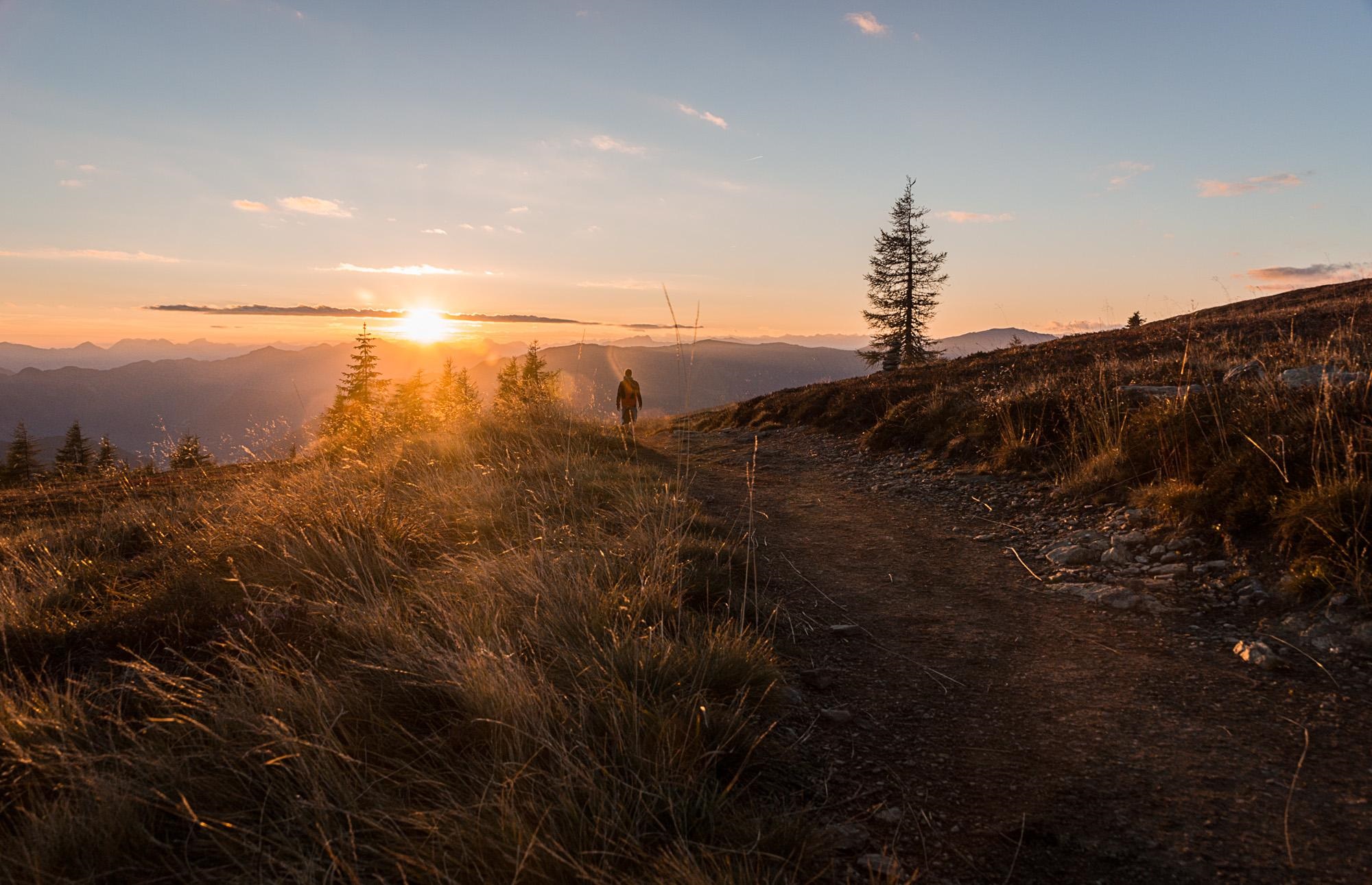
Gerlitzen - Kanzelbahn
A near-level ridge walk from the Gerlitzen summit across to the top station of the Kanzelbahn, with a string of huts to stop at.
- 3.3 km
- Distance
- 0 m
- Ascent
- 1 h 16 min
- Duration
- 78
- Check-ins
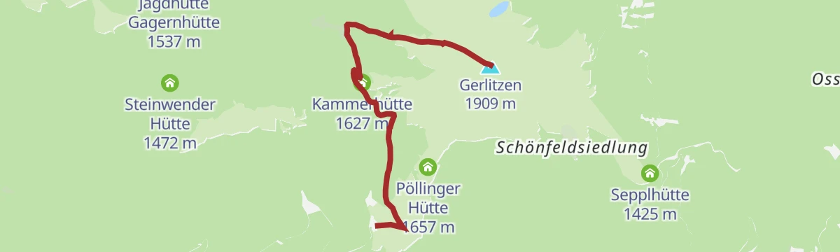
Kostaleweg
A culinary traverse below the Gerlitzen summit with a sporting edge, linking the Pöllinger Hütte and the Kammerhütte on gently falling ground.
- 7.3 km
- Distance
- 122 m
- Ascent
- 2 h 26 min
- Duration
- 82
- Check-ins
Amberger Alm - Mirnock
A point-to-point Nockberge traverse from the Lärchenboden past the Schwarzsee and over the Palnock and Rindernock to the Mirnock.
- 12.9 km
- Distance
- 986 m
- Ascent
- 5 h 53 min
- Duration
- 39
- Check-ins
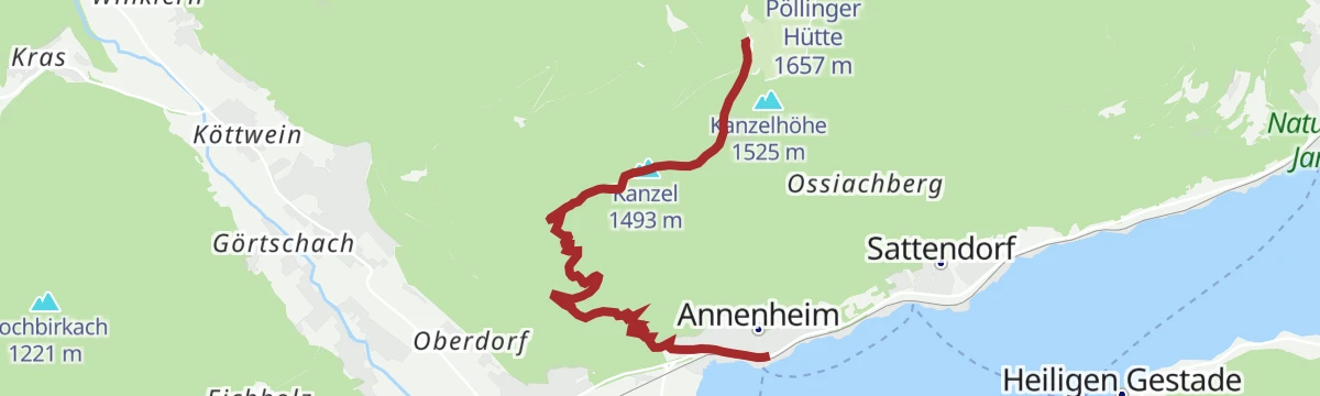
PROlitzen Trail - T34
A short singletrack descent on the Ossiachberg above Annenheim, finishing near the Kanzelbahn valley station.
- 3.8 km
- Distance
- 0 m
- Ascent
- 50 min
- Duration
- 4
- Check-ins
Genuss-Gondeln von der Kanzelhöhe zum Ossiacher See
A descent from the Kanzelhöhe at around 1,450 m to the lake at Annenheim, passing the Waldtratte reservoir and the Sunn Alm.
- 15.0 km
- Distance
- 0 m
- Ascent
- 1 h 40 min
- Duration
- 16
- Check-ins
 Speicher Waldtratte 1 454 m
 Schneebärenhütte 1 441 m
- Sunn Alm Gerlitzen 1 443 m
- Cielo - Mountain Lounge Bar 1 442 m
- Sonnen Arena 1 443 m
Vom Ossiacher See auf die Gerlitzen Alpe
A long day from the lake shore up to the Gipfelhaus at 1,909 m on the Gerlitzen Alpe, with the campsite belt of Ossiach at the start.
- 78.8 km
- Distance
- 1 837 m
- Ascent
- 8 h 43 min
- Duration
- 63
- Check-ins
3 Hütten Tour
A level 4 km hut walk from the Gerlitzen summit across to the Waldtratte, with three places to eat along the way.
- 4.2 km
- Distance
- 0 m
- Ascent
- 1 h 24 min
- Duration
- 63
- Check-ins
Wassererlebniswelt Neugarten Almsee
A short descent from the Gerlitzen summit to the Neugarten Almsee and on to the middle station, with the gondola available for the way back up.
- 7.3 km
- Distance
- 533 m
- Ascent
- 3 h 30 min
- Duration
- 70
- Check-ins
 Gerlitzen 1 909 m
- Gipfelhaus Gerlitzen 1 909 m
- Speicher Waldtratte 1 454 m
- Gerlitzen Gipfelhaus Restaurant 1 908 m
- Sunn Alm Gerlitzen 1 443 m
- Kammerhütte 1 627 m
- +3
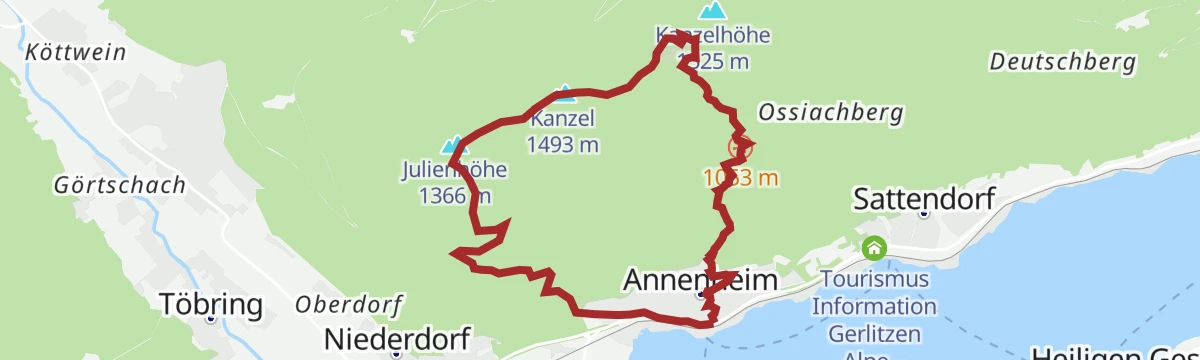
Gerlitzen - Hüttersteig
The long-established south-side climb to the Kanzelhöhe, nearly 1,000 m in under seven kilometres; the cable cars can spare the knees on the way down.
- 6.6 km
- Distance
- 1 000 m
- Ascent
- 4 h 2 min
- Duration
- 25
- Check-ins
- Kanzel 1 493 m
- Julienhöhe 1 366 m
- Speicher Waldtratte 1 454 m
- Kanzel Stub'n 523 m
- Schneebärenhütte 1 441 m
- Sunn Alm Gerlitzen 1 443 m
- +3
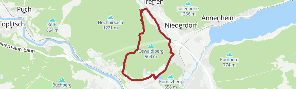
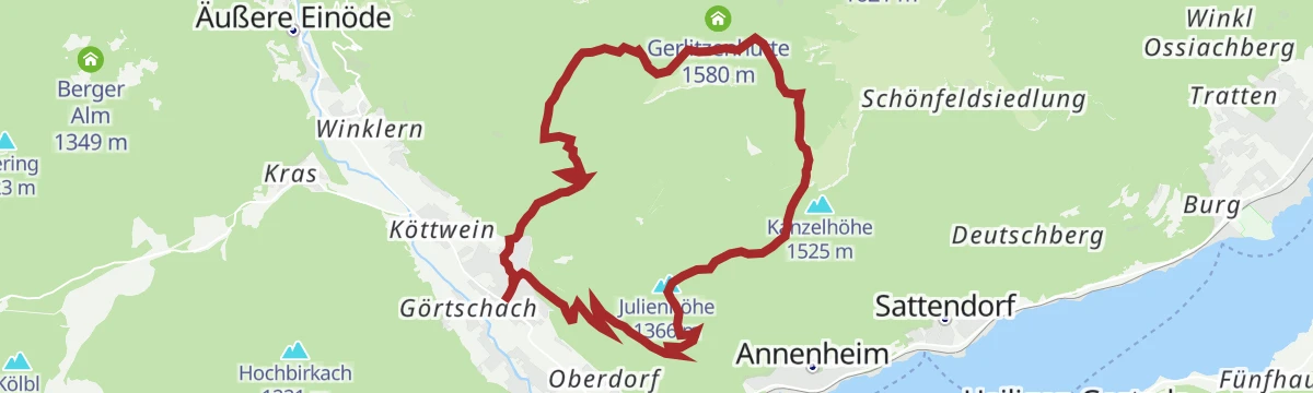
Tour rund um den Oswaldiberg - Nr.4
A gentler forest-road circuit around the flanks of the Oswaldiberg, keeping low above the western outskirts of Villach.
- 11.8 km
- Distance
- 266 m
- Ascent
- 1 h 18 min
- Duration
Genuss-Gondeln vom Gerlitzen Gipfel zum Ossiacher See
A gondola-assisted descent from the summit of the Gerlitzen at 1,909 m down to the shore of the Ossiacher See at Annenheim.
- 27.0 km
- Distance
- 0 m
- Ascent
- 2 h 53 min
- Duration
- 54
- Check-ins
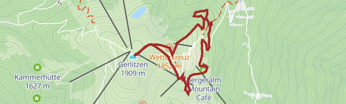
Bergeralm Rundweg
An easy loop past the Felsensee to the Berger Alm, with art and literature quotations beside the path and movement stations for children.
- 4.9 km
- Distance
- 210 m
- Ascent
- 1 h 40 min
- Duration
- 57
- Check-ins
4 Hütten Tour
An easy-going 9 km circuit of the huts on the south and west sides of the Gerlitzen, from the Pöllinger Hütte to the Steinwender Hütte.
- 9.0 km
- Distance
- 318 m
- Ascent
- 2 h 53 min
- Duration
- 38
- Check-ins
- Pöllinger Hütte 1 657 m
- Speicher Waldtratte 1 454 m
- Schneebärenhütte 1 441 m
- Prinz Hütt'n 1 503 m
- Steinwender Hütte 1 472 m
- Sunn Alm Gerlitzen 1 443 m
- +5
Salzsteig - Steinwenderhütte - Hütter
A quiet but taxing 17 km round on the Gerlitzen's south flank, over 1,000 m of ascent with the Steinwenderhütte as the midway stop.
- 16.7 km
- Distance
- 1 009 m
- Ascent
- 6 h 59 min
- Duration
- 24
- Check-ins
- Kanzel 1 493 m
- Julienhöhe 1 366 m
- Speicher Waldtratte 1 454 m
- Schneebärenhütte 1 441 m
- Steinwender Hütte 1 472 m
- Sunn Alm Gerlitzen 1 443 m
- +3
Transromanica-Tour 3: Ossiacher See - Klagenfurt am Wörthersee
A nearly level long-distance stage linking the two big Carinthian lakes, running along the Wörthersee through Velden and Pörtschach.
- 63.0 km
- Distance
- 128 m
- Ascent
- 5 h 44 min
- Duration
- 33
- Check-ins
Traumbogen Höhenrundweg
A short contemplative circuit around the summit of the Gerlitzen Alpe, level enough for an easy hour on the tops.
- 4.2 km
- Distance
- 158 m
- Ascent
- 1 h 23 min
- Duration
- 54
- Check-ins
Panoramaweg Schwarzsee - Palnock
From Verditz up to the Schwarzsee and its hut, then on over open Nockberge ground to the Palnock, some 700 m of ascent in all.
- 11.8 km
- Distance
- 719 m
- Ascent
- 4 h 58 min
- Duration
- 16
- Check-ins
Puch - Afritz
A demanding 15 km crossing from Puch over the Amberger Alpe to Afritz, with more than 1,300 m of ascent and the Schwarzseehütte on the way.
- 14.8 km
- Distance
- 1 341 m
- Ascent
- 8 h 4 min
- Duration
- 11
- Check-ins
Ossiacher See Runde
A flat circuit of the whole lake, passing Bodensdorf and the string of lakeside campsites on both shores.
- 27.1 km
- Distance
- 81 m
- Ascent
- 2 h 29 min
- Duration
- 20
- Check-ins
Kanzelhöhe Rundweg
A short family loop around the Kanzelhöhe with attractions set along the path, 3 km and barely any climbing.
- 3.0 km
- Distance
- 81 m
- Ascent
- 54 min
- Duration
- 22
- Check-ins
- Kanzelhöhe 1 525 m
- Speicher Waldtratte 1 454 m
- Schneebärenhütte 1 441 m
- Prinz Hütt'n 1 503 m
- Sunn Alm Gerlitzen 1 443 m
- Cielo - Mountain Lounge Bar 1 442 m
- +2
Schwarzsee Rundwanderweg
A moderate 600 m climb to the Schwarzsee below the Amberger Alpe, with the hut on its shore for a break before the round back down.
- 7.7 km
- Distance
- 611 m
- Ascent
- 3 h 56 min
- Duration
- 11
- Check-ins
Bergsteig 1000 – Hüttersteig
A steep 1,000 m round on the sunny side of the Gerlitzen, laid out for mountain runners and hikers with strong legs.
- 9.8 km
- Distance
- 1 011 m
- Ascent
- 6 h 10 min
- Duration
- 9
- Check-ins
Transfer Prolitzen Trail - T34
The uphill transfer for the trail, climbing from the Kanzelbahn station to the Waldtratte reservoir and the huts at about 1,440 m.
- 16.0 km
- Distance
- 964 m
- Ascent
- 1 h 60 min
- Duration
- 20
- Check-ins
- Speicher Waldtratte 1 454 m
- Kanzel Stub'n 523 m
- Schneebärenhütte 1 441 m
- Sunn Alm Gerlitzen 1 443 m
- Cielo - Mountain Lounge Bar 1 442 m
- Sonnen Arena 1 443 m
Finsterbach Wasserfälle
A short there-and-back walk to the three Finsterbach waterfalls on the slopes above the Ossiacher See.
- 2.4 km
- Distance
- 180 m
- Ascent
- 1 h 11 min
- Duration
- 2
- Check-ins
Seppl Hütte Rundweg
A middling round from the top station of the Kanzelbahn out to the Sepplhütte and back, about 8 km with 450 m of climbing.
- 8.1 km
- Distance
- 445 m
- Ascent
- 3 h 10 min
- Duration
- 11
- Check-ins
Ossiacher See Radweg - R2 und R2A
A flat lap of the Ossiacher See on the lakeside route, threading past the campsites on both shores.
- 28.2 km
- Distance
- 51 m
- Ascent
- 2 h 33 min
- Duration
- 15
- Check-ins
Finsterbach Wasserfälle - Rundweg
A 4 km loop taking in all three of the Finsterbach waterfalls, with 340 m of climbing between them.
- 3.8 km
- Distance
- 320 m
- Ascent
- 2 h 2 min
- Duration
- 2
- Check-ins
Ossiacher See - Bad Kleinkirchheim
A long ride from the lake shore up over the Prekowahöhe at 973 m to the spa village at just above 1,000 m.
- 78.9 km
- Distance
- 757 m
- Ascent
- 7 h 42 min
- Duration
- 10
- Check-ins
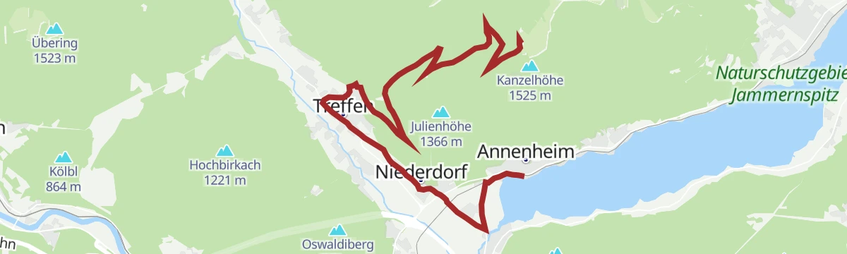
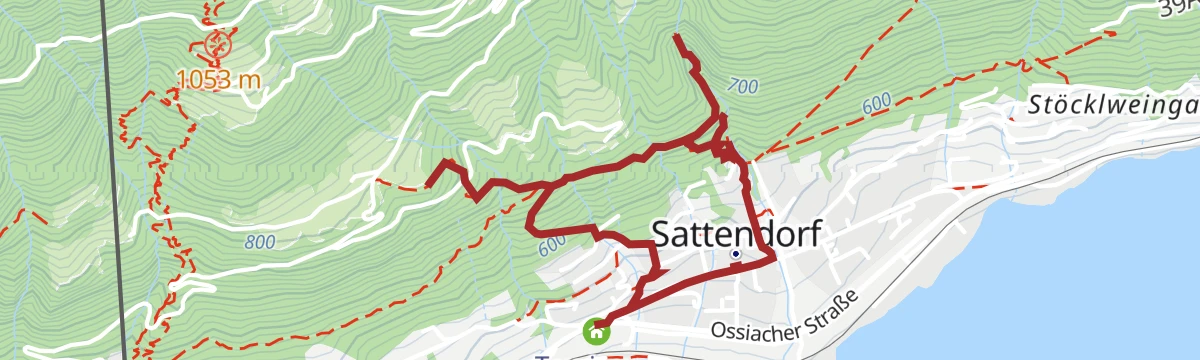
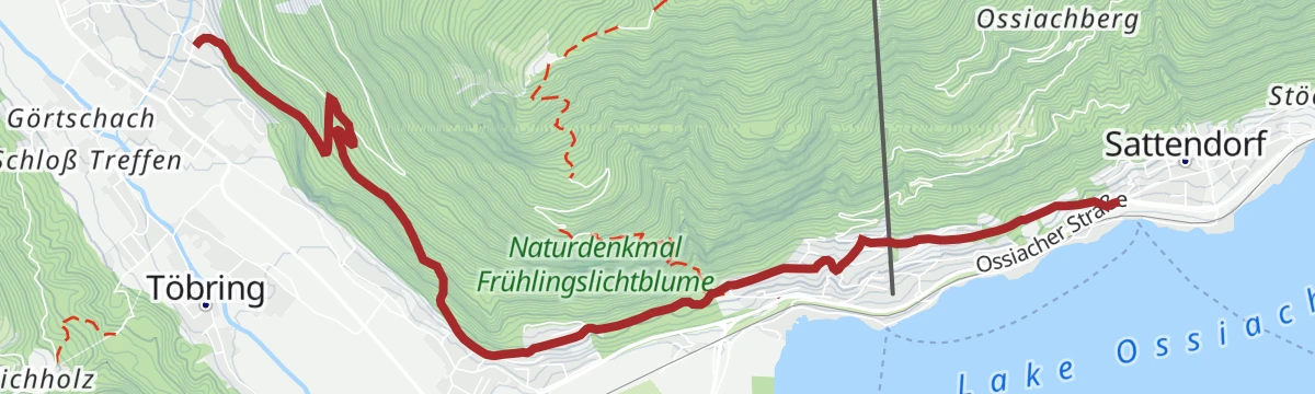
Sattendorf bis Treffen
An easy point-to-point walk from Sattendorf to Treffen on the slopes above the Ossiacher See.
- 6.3 km
- Distance
- 315 m
- Ascent
- 2 h 13 min
- Duration
- 2
- Check-ins
Faaker See - Krastal
A long valley ride from the Faaker See through Warmbad Villach and on to the Krastal, more than 50 km with little climbing.
- 51.3 km
- Distance
- 388 m
- Ascent
- 4 h 55 min
- Duration
- 8
- Check-ins
Rund um die Gerlitzen Alpe
A full circuit around the massif above the north shore, with the Edelweiss Hütte at just over 1,000 m the high point.
- 55.3 km
- Distance
- 835 m
- Ascent
- 5 h 41 min
- Duration
- 6
- Check-ins
Vom Ossiacher See zum Feuerberg
A forest-road climb from Sattendorf and St. Urban up to the Feuerberg at about 1,760 m, with the Sepplhütte on the way.
- 36.6 km
- Distance
- 1 269 m
- Ascent
- 4 h 27 min
- Duration
- 6
- Check-ins
Von Villach ins Krastal
A nearly level ride out of Villach into the Krastal, past the Seehof campsite, with barely 160 m of climbing in 27 km.
- 26.8 km
- Distance
- 207 m
- Ascent
- 2 h 34 min
- Duration
- 6
- Check-ins
No routes of this kind in Treffen am Ossiacher See yet.
The region's own picks
Featured route
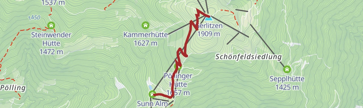
Gerlitzen - Kanzelbahn
A near-level ridge walk from the Gerlitzen summit across to the top station of the Kanzelbahn, with a string of huts to stop at.
Planning a trip to Treffen am Ossiacher See?
Everything else Carinthia has, in one place


Take Treffen am Ossiacher See with you into the mountains
Every route on this page with 3D terrain, GPX navigation and offline maps — including the valleys with no signal.
Data sources
- Official website: visitvillach.at ↗
- Routes and highlights: Villach Tourismus
- Published as open data by the tourist boards named above.
- Region summary generated from the board's own material.
