








Curated by Sondrio e Valmalenco
Torre di Santa Maria
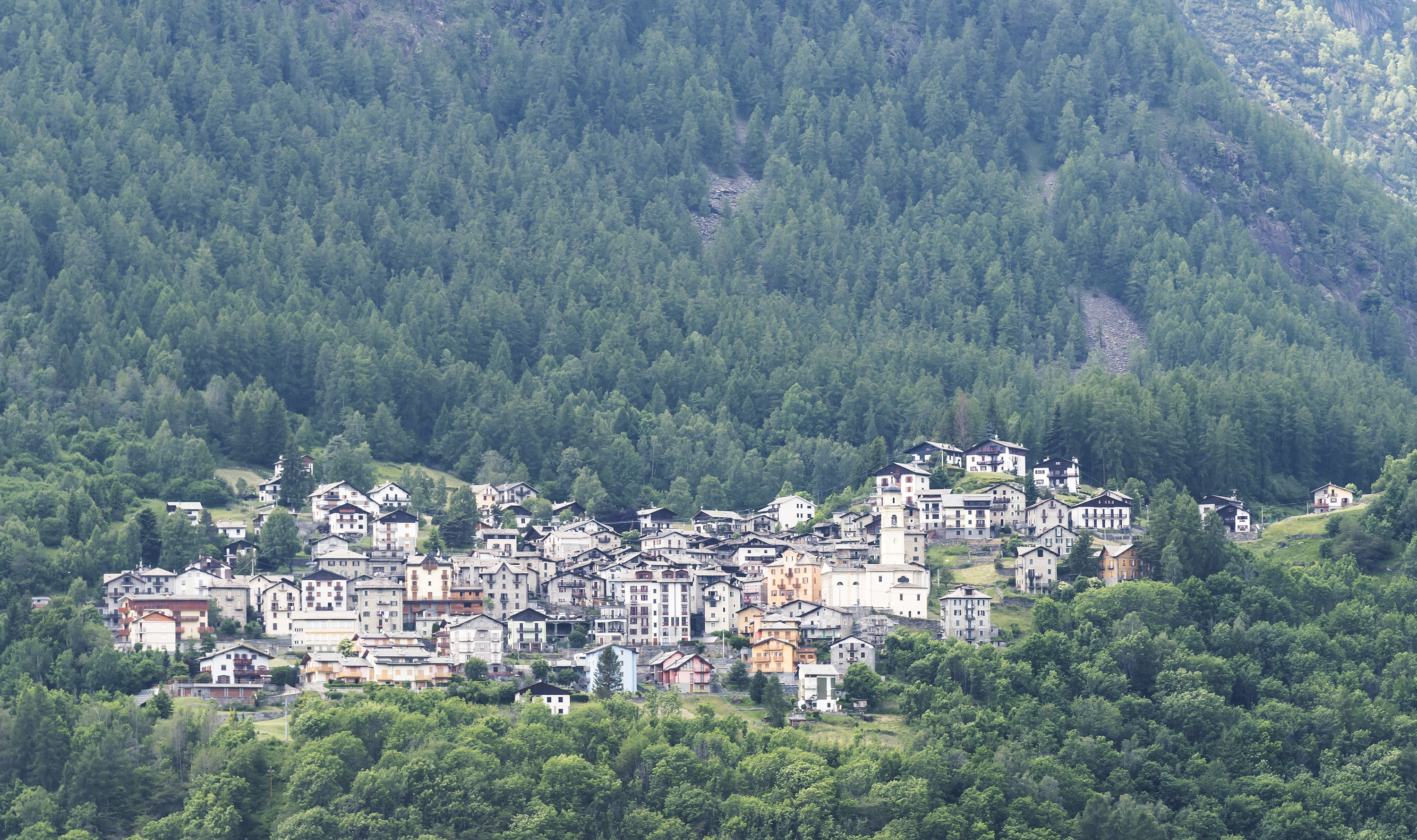
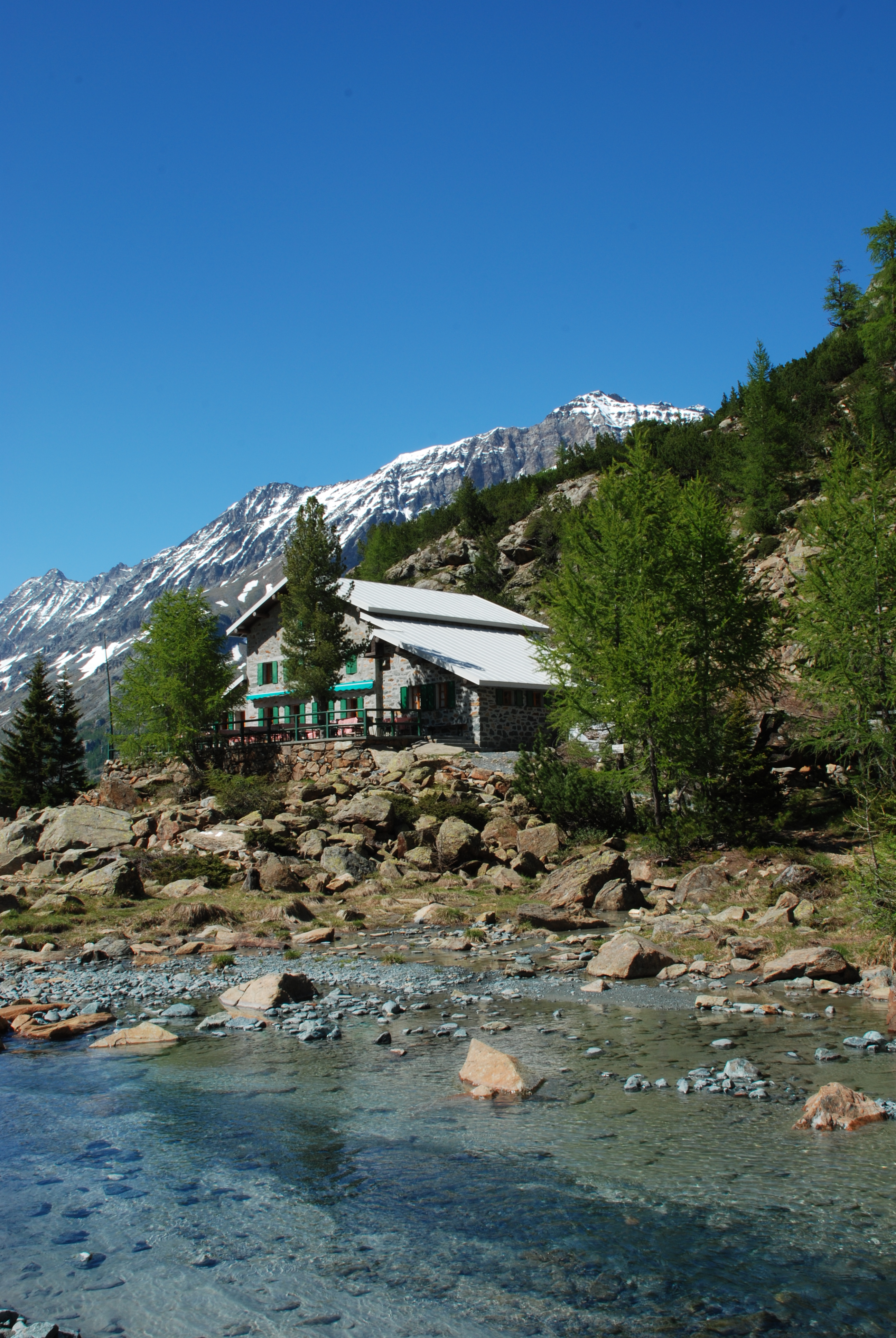
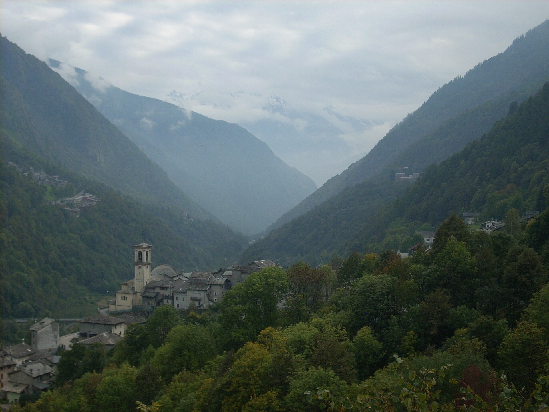
Valmalenco village on the road to the Bosio hut, with the Sassersa lakes on the ridge above.
Photo: Gaggi Luca 76 · CC BY 3.0 licence
- 4Highlights
- 15Routes
- Featured summit · Sasso Bianco
Highlights
11 from neighbouring places
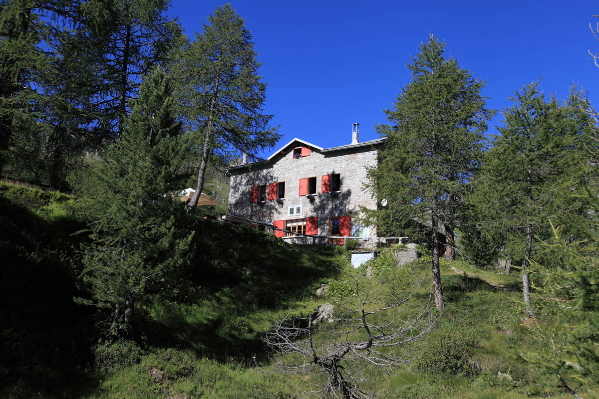
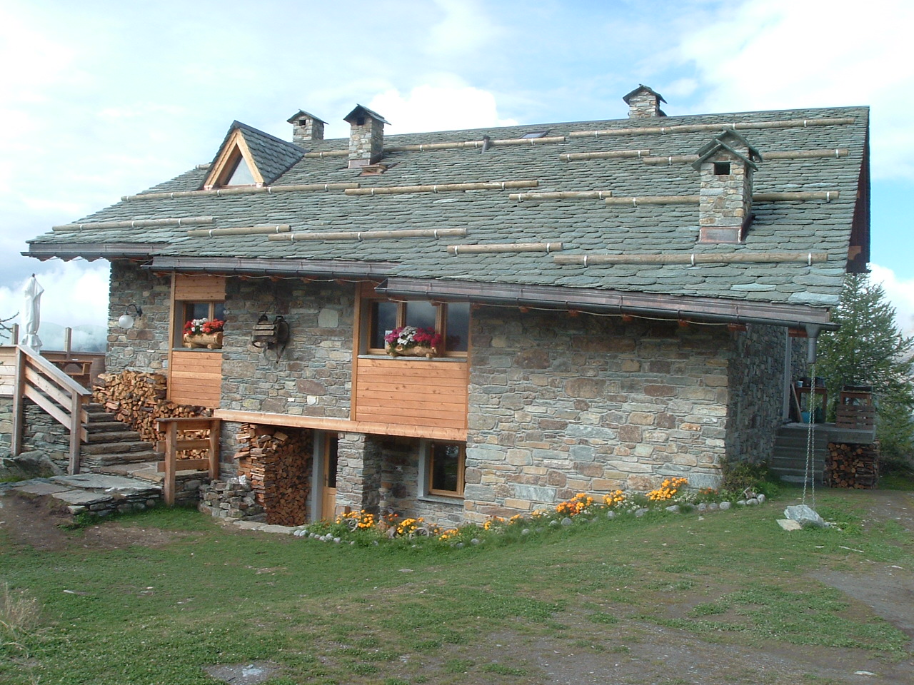
Rif. Bosio Galli 2086m
A hut at 2,086 m below the Monte Disgrazia, on the Sentiero Roma high route.
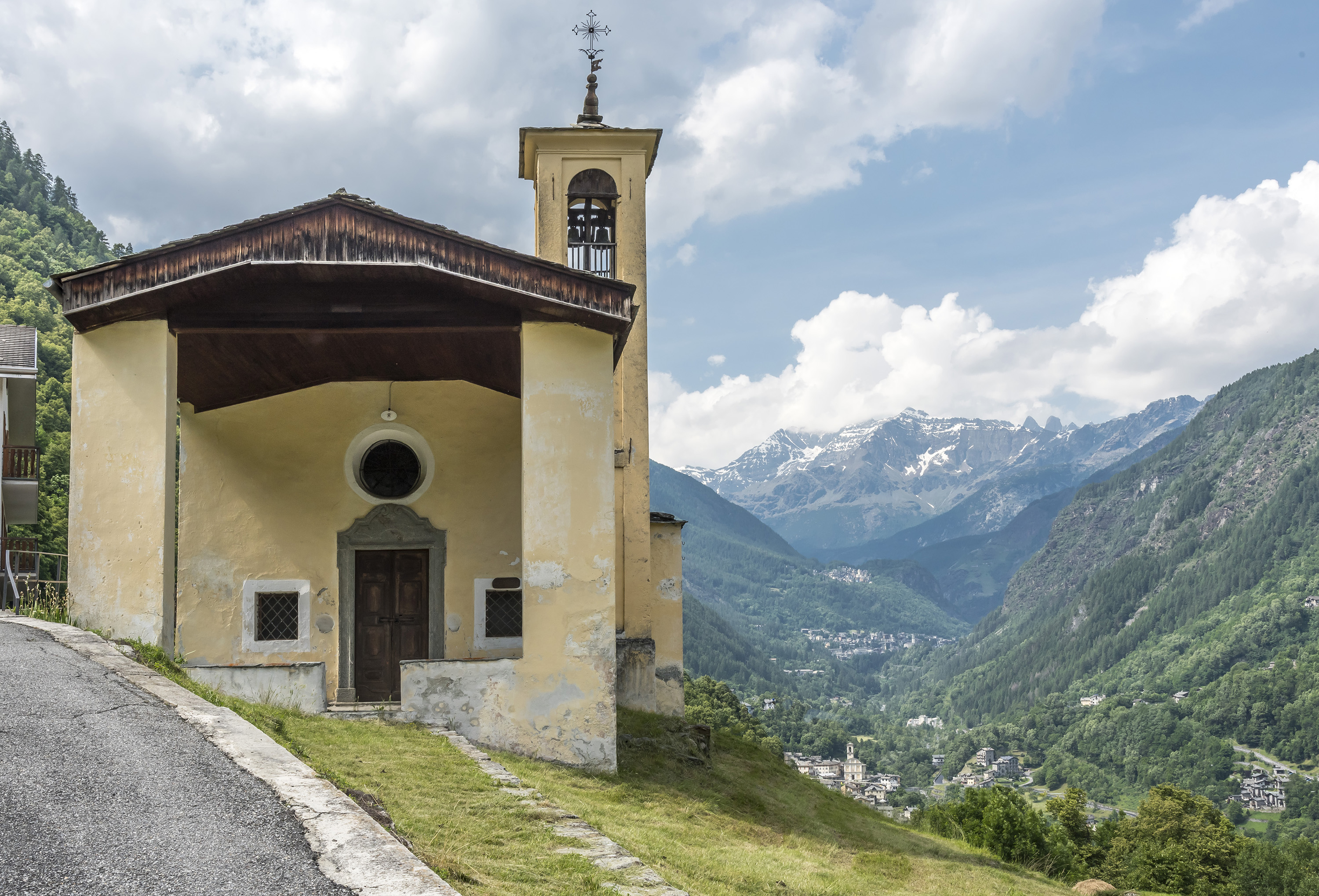
Chiesa di Sant'Anna
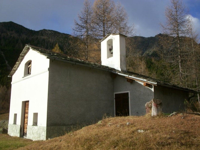
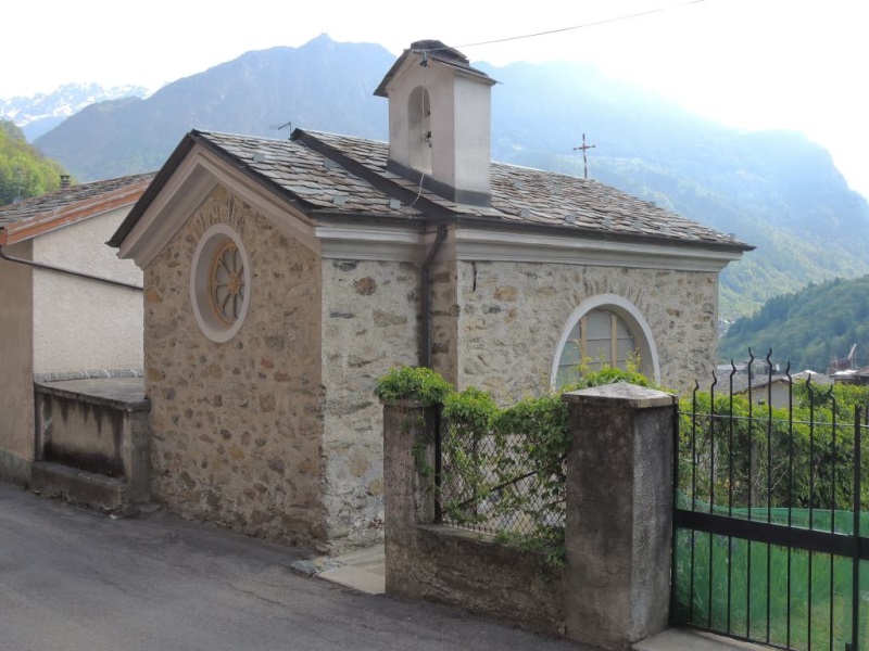
A chapel above Torre di Santa Maria, on the path up the valley.
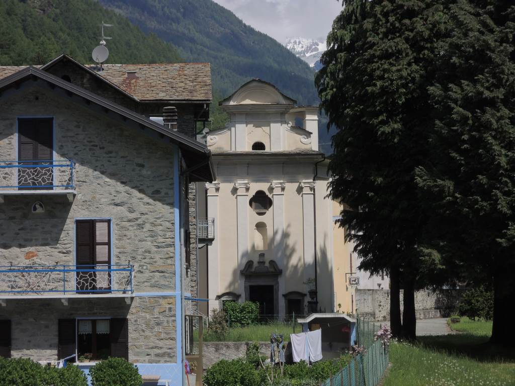
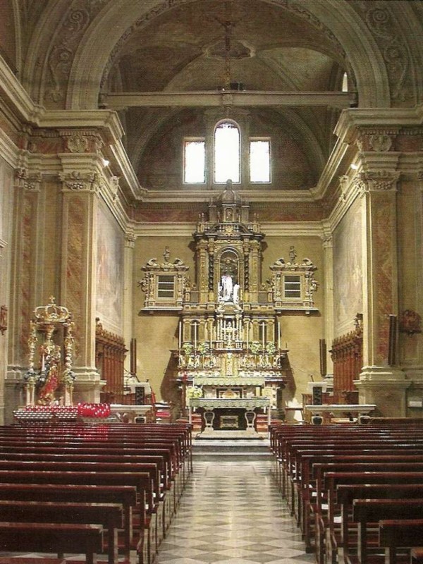
Chiesa di Santa Maria Nascente
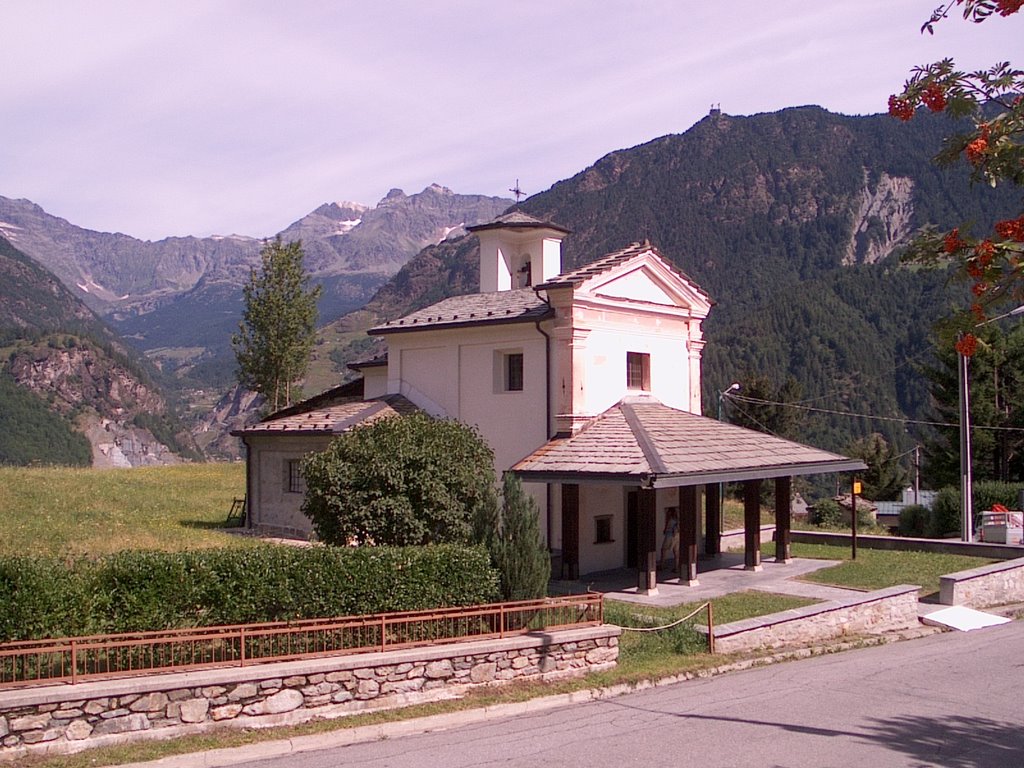
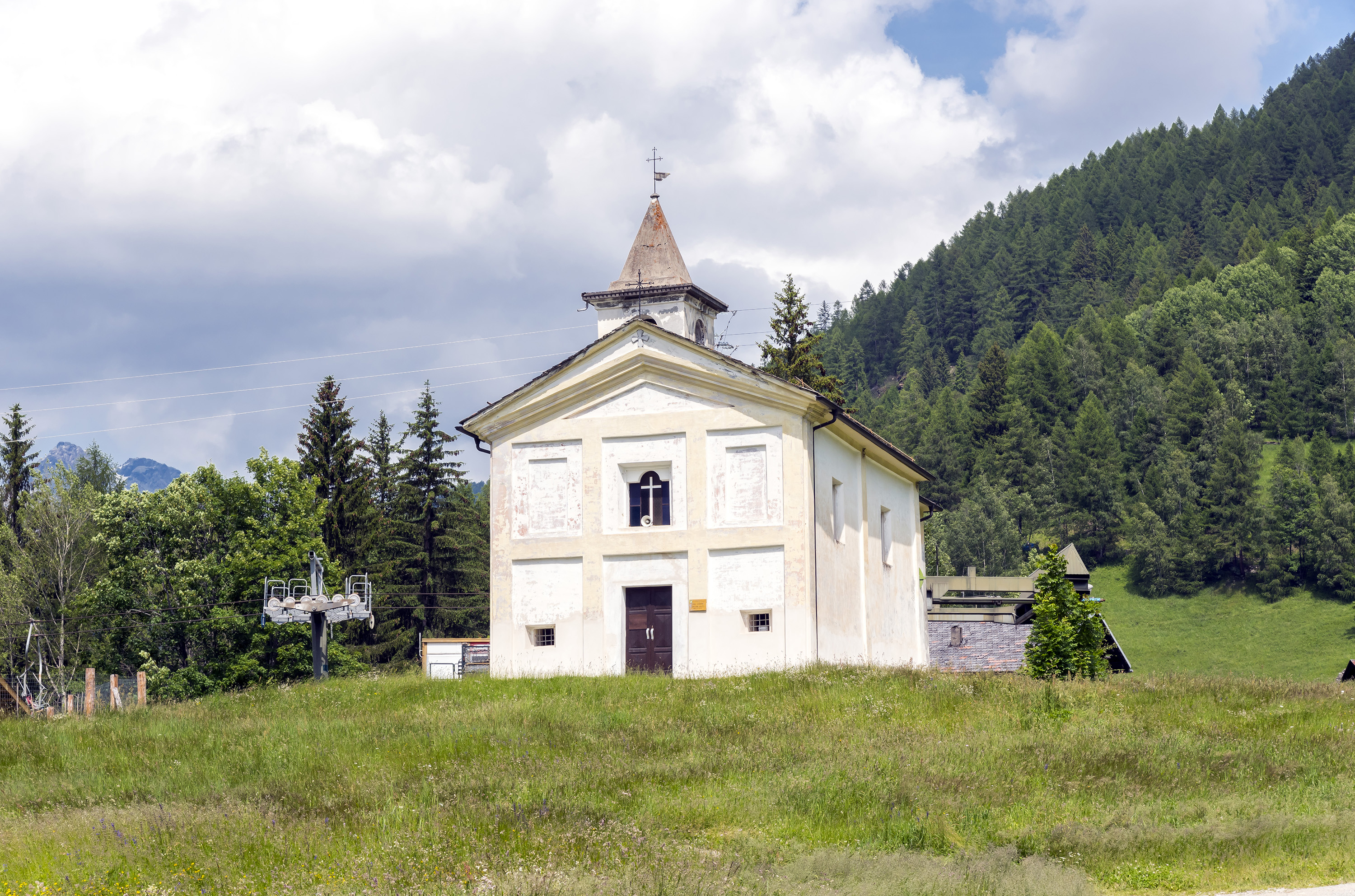
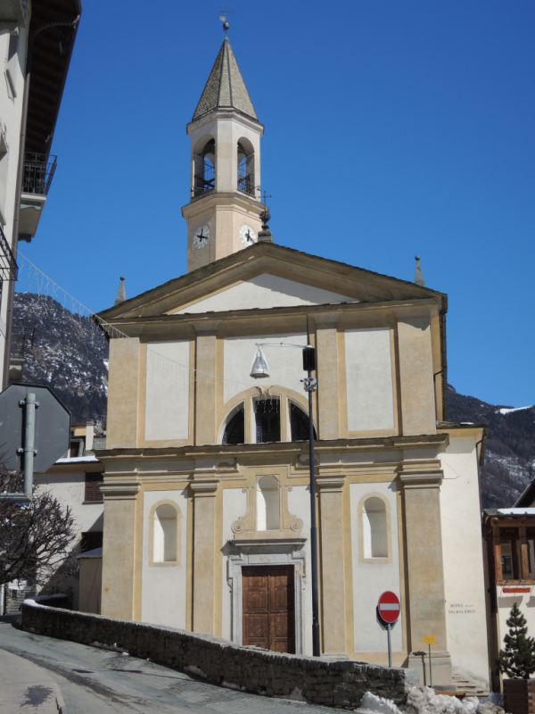
The parish church of Torre di Santa Maria, with its stone-slabbed roof.
Chiesa di Sant'Abbondio all'Alpe Lago
1.8 km away, in Chiesa in Valmalenco
A chapel on the Alpe Lago pastures above the Valmalenco, reached on foot.
Chiesa di Santa Emilia
3.6 km away, in Chiesa in Valmalenco
A small church on the Valmalenco slope above Chiesa, among the stone-roofed hamlets.
Chiesa di Santa Elisabetta
4.2 km away, in Caspoggio
The parish church of Caspoggio, with the Disgrazia in view from its square.
Chiesa di Sant'Antonio
4.6 km away, in Caspoggio
A church at Caspoggio, on the terrace above the Valmalenco.
Chiesa dei SS. Rocco, Fabiano e Sebastiano
4.7 km away, in Caspoggio
A votive church at Caspoggio, facing the Bernina across the Valmalenco.
Santuario della Beata Vergine delle Grazie
4.7 km away, in Chiesa in Valmalenco
A pilgrimage church in the Valmalenco, on the terrace above the valley floor.
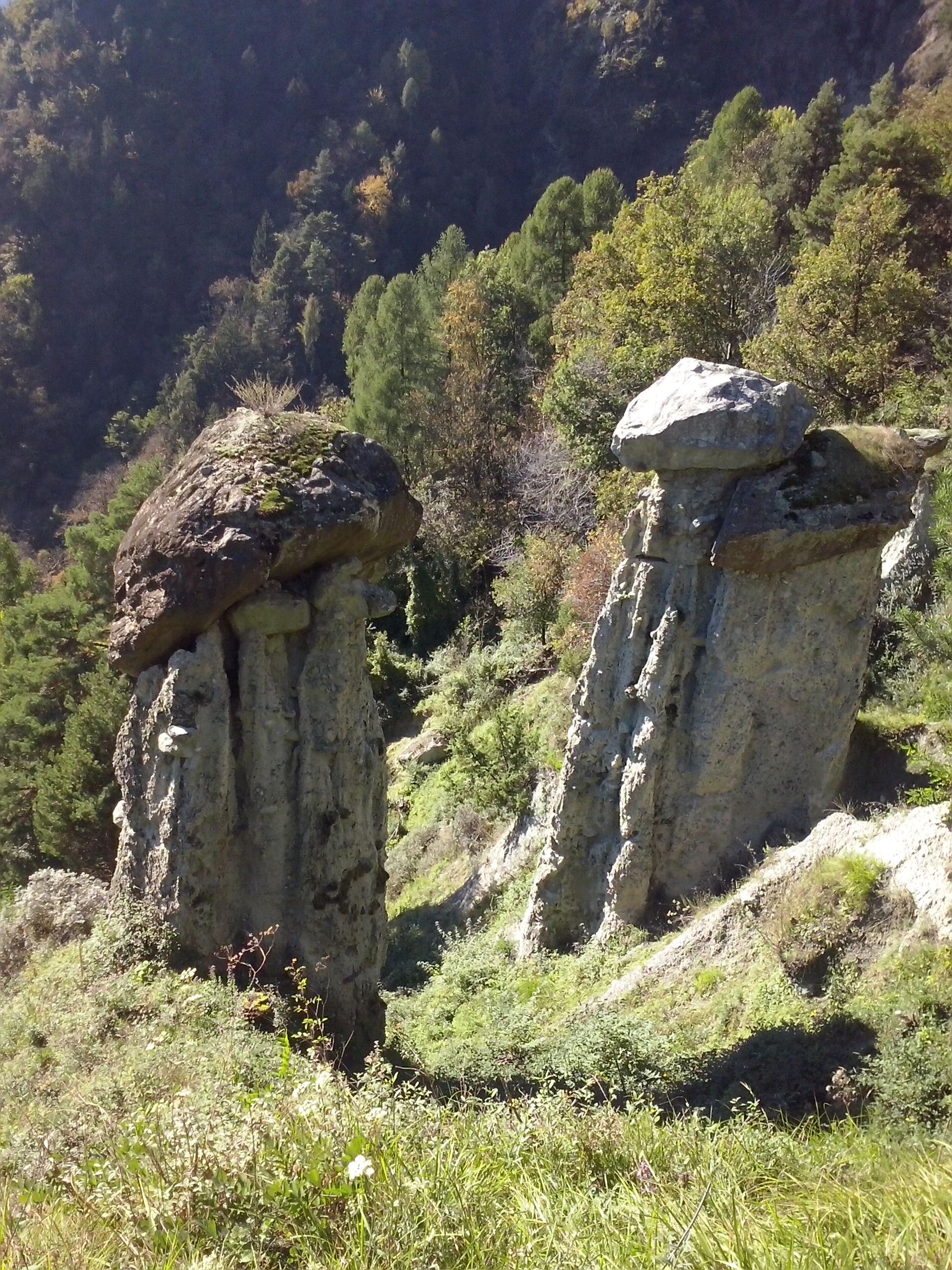
Riserva naturale delle Piramidi di Postalesio
7 km away, in Postalesio
Earth pyramids above Postalesio, moraine spires each capped by the stone that shelters it from rain.
Rif. Motta 2236m
7.3 km away, in Chiesa in Valmalenco
A hut at 2,236 m on the Campagneda side of the Valmalenco, among small tarns.
Rif. Ventina 1960m
7.8 km away, in Chiesa in Valmalenco
A hut at the foot of the Ventina glacier, with a marked glaciological trail showing the ice retreat.
Rifugi all'Alpe Mara
7.8 km away, in Montagna in Valtellina
Huts on the Alpe Mara above Montagna in Valtellina, on the Orobie slope.
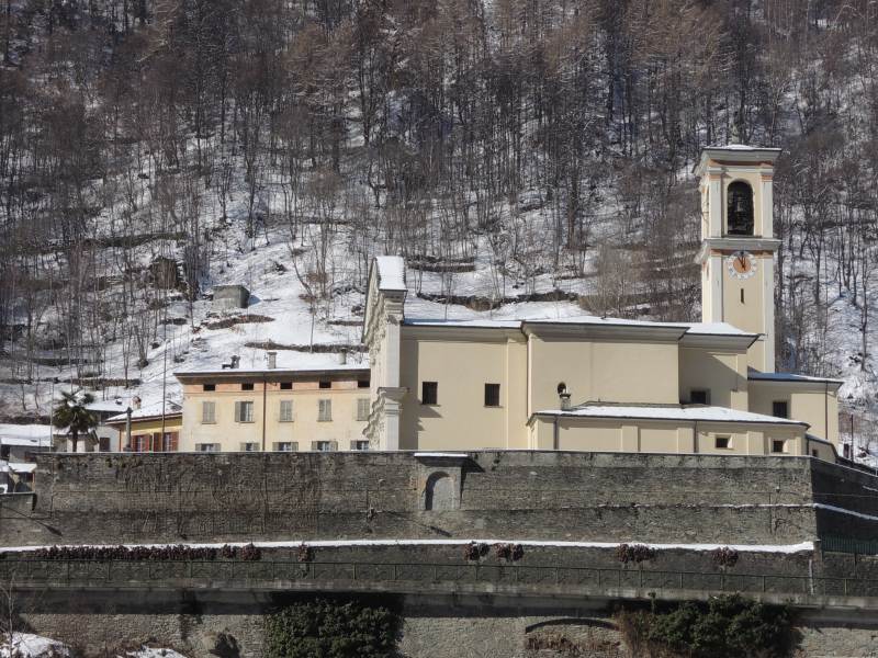
Chiesa parrocchiale dei SS. Giacomo e Filippo
8.1 km away, in Chiesa in Valmalenco
The parish church of Chiesa in Valmalenco, whose bell tower gives the village its name.
Nothing of this kind in Torre di Santa Maria.
Routes
Zana Lake Loop
A loop from the Rifugio Bosio to the Lago Zana and the Alpe Zana, with the option of carrying on to the Sasso Bianco.
- 9.3 km
- Distance
- 512 m
- Ascent
- 3 h 39 min
- Duration
- 42
- Check-ins
 Sasso Bianco 2 490 m
 Rifugio Bosio-Galli 2 086 m
 Colma di Zana 2 416 m
 Lago di Arcoglio 2 235 m
- Lago di Zana 2 280 m
Open route Valtellina OutdoorAlta via della Valmalenco
Part of the eight-stage high route around the Valmalenco, some 110 km linking the valley's huts, here crossing the Sasso Bianco.
- 101.4 km
- Distance
- 7 852 m
- Ascent
- 51 h 1 min
- Duration
- 369
- Check-ins
Chiesa, Lago di Chiesa, Rifugio Bosio, Alpe Pirlo (MTB-EMTB)
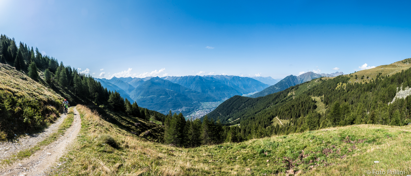
A two-part climb from the valley floor towards Primolo, then on dirt and concrete hairpins through the woods into Val Torreggio for Rifugio Bosio.
- 28.1 km
- Distance
- 1 281 m
- Ascent
- 3 h 42 min
- Duration
- 9
- Check-ins
Open route Valtellina OutdoorBike - eBike Route Rusca from Sondrio to Spriana
The Rusca path from Sondrio to Spriana, on part of the old Strada Cavallera to the Muretto pass.
- 18.7 km
- Distance
- 516 m
- Ascent
- 2 h 9 min
- Duration
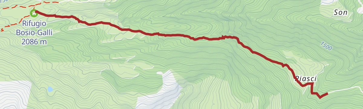
Open route Valtellina OutdoorBosio-Galli Refuge (from Piasci)
The shortest way up to the Bosio-Galli hut, from the Piasci car park above Torre di Santa Maria, reached by a toll road needing a permit.
- 4.6 km
- Distance
- 420 m
- Ascent
- 1 h 53 min
- Duration
- 27
- Check-ins
Open route Valtellina OutdoorAlta Via della Valmalenco stage 2
A long stage up the Val Sassersa past its three small lakes to the Passo Ventina, by talc mines, soapstone quarries and summer pastures under the Bernina.
- 13.4 km
- Distance
- 1 207 m
- Ascent
- 7 h 48 min
- Duration
- 69
- Check-ins
- Rifugio Gerli Porro 1 965 m
- Rifugio Ventina 1 975 m
- Rifugio Bosio-Galli 2 086 m
- Passo Ventina 2 676 m
- Lago di Sassersa inferiore 2 m
- Lago di Troni 1 602 m
Open route Valtellina OutdoorTorre S.Maria, Alpe Piasci, Alpe Arcoglio (MTB-EMTB)
A long climb on forest roads from the Valmalenco floor at Torre di Santa Maria up to the high pastures of Piasci and Arcoglio.
- 26.0 km
- Distance
- 1 203 m
- Ascent
- 3 h 27 min
- Duration
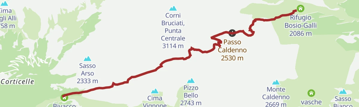
Open route Valtellina OutdoorSentiero Italia D21N - Stage Bivacco Scermendone Rifugio Bosio Galli at Alpe Airale
A rugged crossing over the Passo di Scermendone and Passo Caldenno, largely on scree, from the bivouac above the lake down to Rifugio Bosio-Galli.
- 8.3 km
- Distance
- 634 m
- Ascent
- 4 h 14 min
- Duration
- 26
- Check-ins
- Rifugio Bosio-Galli 2 086 m
- Bivacco Scermendone 2 131 m
- Lago Scermendone 2 340 m
- Passo di Scermendone 2 595 m
- Passo Caldenno 2 530 m
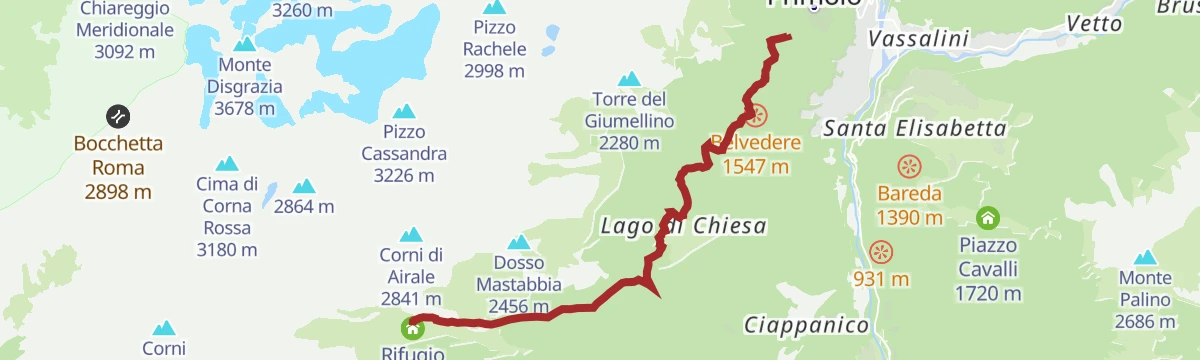
Open route Valtellina OutdoorSentiero Italia D22N - Stage Rifugio Bosio to Alpe Airale - Rifugio Gerli Porro to Alpe Ventina
A Sentiero Italia stage on the north side of Monte Disgrazia, from the Bosio Galli hut by Alpe Airale and Alpe Mastabbia to the Passo Ventina at 2,676 m.
- 13.9 km
- Distance
- 1 178 m
- Ascent
- 7 h 43 min
- Duration
- 69
- Check-ins
- Rifugio Gerli Porro 1 965 m
- Rifugio Ventina 1 975 m
- Rifugio Bosio-Galli 2 086 m
- Passo Ventina 2 676 m
- Lago di Sassersa inferiore 2 m
- Lago di Troni 1 602 m
Open route Valtellina OutdoorRifugio Bosio-Galli (from Primolo)
An approach to the Bosio-Galli hut from Primolo, on a dirt road and then CAI paths by Alpe Pirlo, with no permit needed for the car.
- 8.4 km
- Distance
- 719 m
- Ascent
- 3 h 20 min
- Duration
- 17
- Check-ins
Open route Valtellina OutdoorAlta Via della Valmalenco stage 1
The first stage of the Valmalenco high route, up the Val Torreggio to the Cometti hut and over Sasso Bianco at 2,490 m, with the Disgrazia and the Bernina in sight.
- 13.0 km
- Distance
- 1 825 m
- Ascent
- 8 h 12 min
- Duration
- 51
- Check-ins
- Sasso Bianco 2 490 m
- Rifugio Bosio-Galli 2 086 m
- Cometti 1 720 m
- Colma di Zana 2 416 m
- Lago di Arcoglio 2 235 m
Open route Valtellina OutdoorIl sentiero Rusca
A valley walk through Torre di Santa Maria in the Valmalenco, on the old path that follows the Mallero upstream.
- 14.0 km
- Distance
- 683 m
- Ascent
- 4 h 24 min
- Duration
- 8
- Check-ins
Torre di Santa Maria
A long climb from Torre di Santa Maria up to the Alpe Piasci on the western side of the Valmalenco.
- 32.6 km
- Distance
- 1 434 m
- Ascent
- 11 h 12 min
- Duration
- 26
- Check-ins
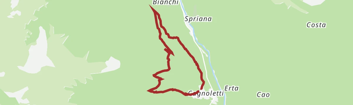
The Pizzi loop
A loop at the western gate of the Valmalenco, marked out by the Sondrio CAI with a local school as a nature and folklife route, named for Nicola Ortelli.
- 6.8 km
- Distance
- 574 m
- Ascent
- 3 h 39 min
- Duration
Open route Valtellina OutdoorRusca Trail Part One - From Sondrio to Chiesa in Valmalenco
The opening section of the old Valmalenco road, climbing from Sondrio through Ponchiera and Torre di Santa Maria into the valley.
- 28.0 km
- Distance
- 759 m
- Ascent
- 8 h 26 min
- Duration
- 8
- Check-ins
Open route Valtellina Outdoor
No routes of this kind in Torre di Santa Maria yet.
The region's own picks

Featured route
Zana Lake Loop
A loop from the Rifugio Bosio to the Lago Zana and the Alpe Zana, with the option of carrying on to the Sasso Bianco.
Planning a trip to Torre di Santa Maria?
Everything else Lombardy has, in one place


Take Torre di Santa Maria with you into the mountains
Every route on this page with 3D terrain, GPX navigation and offline maps — including the valleys with no signal.
Data sources
- Official website: sondrioevalmalenco.it ↗
- Routes and highlights: Sondrio e Valmalenco, Valtellina Outdoor
- Published as open data by the tourist boards named above.
- Region summary generated from the board's own material.
