
Curated by Valtellina Outdoor
Tirano
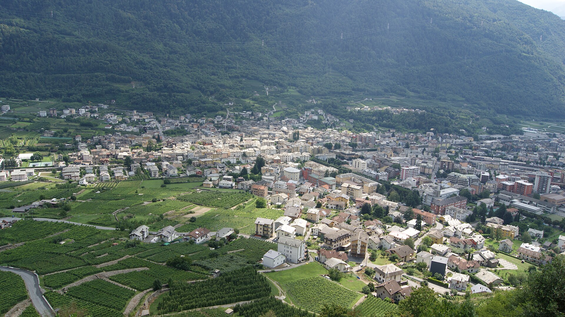
Alta Valtellina town where the Bernina railway begins, beside the domed sanctuary of the Madonna di Tirano.
Photo: Asurnipal · CC BY-SA 4.0 licence
- 2Highlights
- 23Routes
- Featured summit · Motti del Laghetto
Highlights
All 2 from neighbouring places
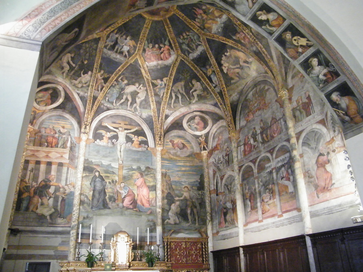
Chiesa di San Giovanni Battista
12.7 km away, in Edolo
The main church of Edolo and the town's most notable monument, in the Camonica valley where the Aprica, Mortirolo and Tonale roads divide.
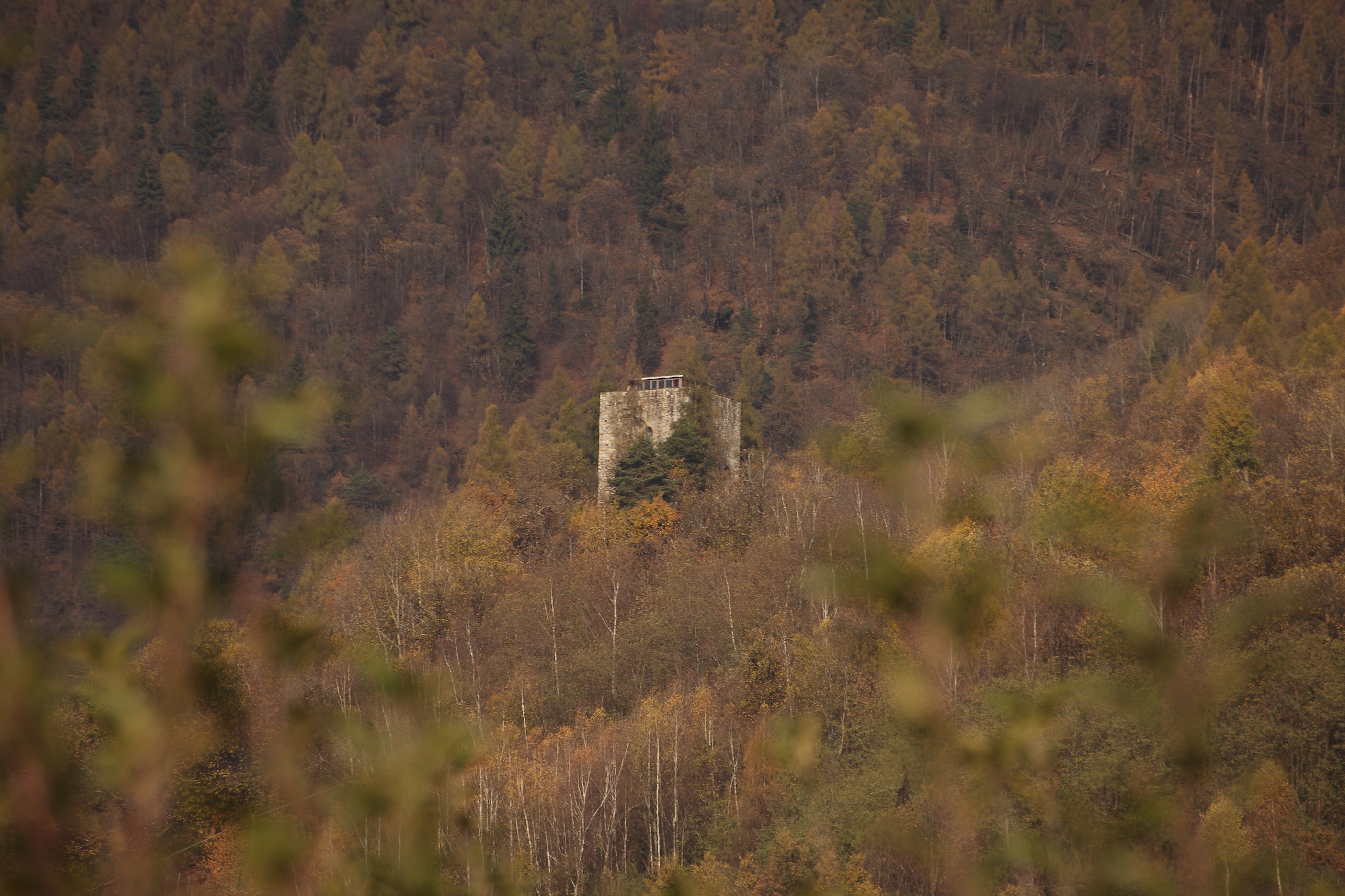
Torre di Castionetto
14.2 km away, in Chiuro
A medieval tower above Chiuro, on the vineyard terrace facing the Orobie.
 Historic site
Nothing of this kind in Tirano.
Routes
Trivigno - Guspessa Pass
An easy walk from Trivigno to the Guspessa pass, on the pastured ridge between the Valtellina and the Mortirolo.
- 5.0 km
- Distance
- 210 m
- Ascent
- 1 h 39 min
- Duration
- 5
- Check-ins
 Centro Sport Trivigno 1 793 m
 Lago di Guspessa "Lagazzuolo" 1 824 m
- Ristoro Lagazol 1 827 m
 Passo del Picco 1 930 m
- Passo del Picco 1 914 m
Open route Valtellina OutdoorIl Sentiero Valtellina
The Colico end of the Sentiero Valtellina, where the route along the Adda leaves the head of Lake Como for the valley.
- 113.6 km
- Distance
- 1 108 m
- Ascent
- 28 h 24 min
- Duration
- 12
- Check-ins
Sentiero Italia D30N - Stage from Tirano Station to Schiazzera Refuge
A Sentiero Italia stage rising from Tirano through the Roncaiola vineyards and the Pradentia pastures to the Schiazzera hut.
- 12.6 km
- Distance
- 1 738 m
- Ascent
- 7 h 5 min
- Duration
- 12
- Check-ins
Open route Valtellina OutdoorTour of the Dos of the Cross MTB
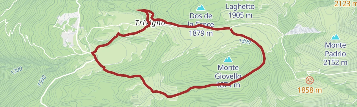
A short mountain-bike loop from the sports centre at Trivigno, near Tirano, crossing the rise of Motti del Laghetto.
- 7.7 km
- Distance
- 290 m
- Ascent
- 58 min
- Duration
- 6
- Check-ins
Open route Valtellina OutdoorAlpine Gravel: Val di Campo
A very long gravel ride from Bormio on white roads, climbing past Baita Viola and the Baite Altumeira to the Rifugio Saoseo and Sfazù.
- 110.0 km
- Distance
- 2 125 m
- Ascent
- 11 h 46 min
- Duration
- 110
- Check-ins
- Baita Viola 1 883 m
- Ristoro Baita Altumeira 2 118 m
- Rifugio SAC Lungacqua Saoseo 1 985 m
- Sfazù 1 622 m
- Zarera 1 602 m
- Baite Altumeira 2 131 m
- +10
Open route Valtellina OutdoorTour of Mount Giovello
A circuit of Monte Giovello on forest roads by way of the Strencia alp and Gradesc, passing the small church of San Gaetano.
- 6.6 km
- Distance
- 191 m
- Ascent
- 2 h 1 min
- Duration
- 4
- Check-ins
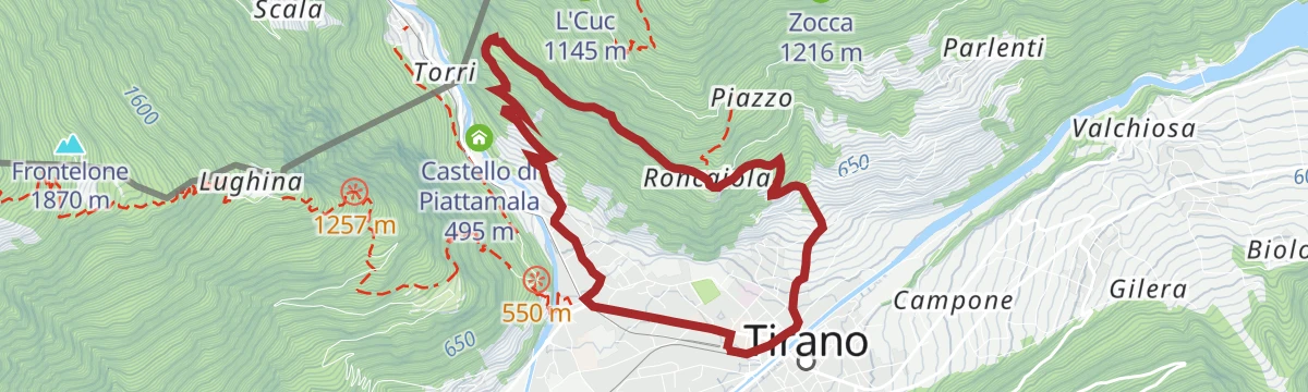
Open route Valtellina OutdoorTirano - Ciocca - Roncaiola - Tirano
A loop from Tirano station past the Madonna basilica, climbing by Ciocca to the hamlet of Roncaiola and descending through the vines.
- 7.6 km
- Distance
- 422 m
- Ascent
- 2 h 59 min
- Duration
- 5
- Check-ins
Open route Valtellina OutdoorMortirolo Pass from Trivigno
A high traverse from Trivigno to the Mortirolo pass, the pastured crossing between the Valtellina and the Valcamonica.
- 15.6 km
- Distance
- 250 m
- Ascent
- 4 h 12 min
- Duration
- 10
- Check-ins
- Passo della Foppa 1 852 m
- Centro Sport Trivigno 1 793 m
- Lago di Guspessa "Lagazzuolo" 1 824 m
- Valico di Baite Salena 1 798 m
- Ristoro Lagazol 1 827 m
- Rifugio Daniele Beccaria 1 850 m
Open route Valtellina OutdoorTour of Mount Giovello by MTB
A gravel-road circuit at Trivigno above Aprica, climbing past Alpe Strencia and the chapel of S. Gaetano.
- 9.0 km
- Distance
- 240 m
- Ascent
- 1 h 2 min
- Duration
- 4
- Check-ins
Open route Valtellina OutdoorEnergy Cycleway - Red Route
A long Valtellina route past the A2A hydroelectric sites, climbing to the Passo Torri di Fraele and the lake at 1,928 m.
- 63.3 km
- Distance
- 1 661 m
- Ascent
- 6 h 37 min
- Duration
- 44
- Check-ins
- Monte delle Scale 1 953 m
- Passo Torri di Fraele 1 941 m
- Lago delle Scale 1 928 m
- Villa Valania 1 931 m
- Agriturismo Rini 1 180 m
- Pro Loco 1 140 m
- +2
Open route Valtellina OutdoorSanta Perpetua Tirano
A short loop from Tirano over the footbridge and up to the Romanesque church of Santa Perpetua, returning by the hamlet of Rasica.
- 4.3 km
- Distance
- 121 m
- Ascent
- 1 h 18 min
- Duration
- 3
- Check-ins
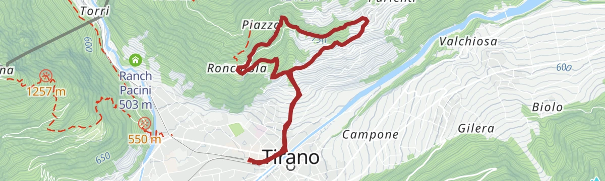
Open route Valtellina OutdoorTirano - Baruffini - Roncaiola - Tirano
A ring from Tirano up to Baruffini, then level along the Sentiero del Pane to Roncaiola before dropping back among the vines.
- 7.2 km
- Distance
- 436 m
- Ascent
- 3 h 1 min
- Duration
- 4
- Check-ins
Open route Valtellina OutdoorAlpine Marian Path Eastern Route - Stage Grosotto Tirano
A valley stage of the Marian pilgrim route following the Adda down to Tirano, calling at Mazzo with its octagonal baptistery and old parish church.
- 17.8 km
- Distance
- 352 m
- Ascent
- 5 h 13 min
- Duration
- 1
- Check-ins
Open route Valtellina OutdoorAprica - Padrio - Pisce'
A long ride from Aprica over Pian di Gembro to Trivigno and the Padrio pastures, returning by the gravel road up to Piscè with its choice of descents.
- 26.3 km
- Distance
- 823 m
- Ascent
- 3 h 1 min
- Duration
- 30
- Check-ins
 Motti del Laghetto 1 905 m
- Passo dell'Aprica 1 172 m
- Bar Ristoro Pian di Gembro 1 357 m
- Centro Sport Trivigno 1 793 m
- Agriturismo Ai Conti di Piscè 1 437 m
- Ristorante Le Betulle 1 347 m
- +5
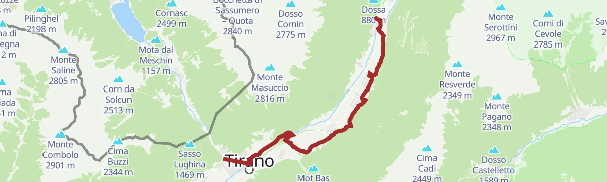
Open route Valtellina OutdoorTirano - Dosso - Ganda - Tirano
An easy round on lanes between the apple orchards of Dosso and Ganda, returning along the Adda embankment into Tirano.
- 5.5 km
- Distance
- 75 m
- Ascent
- 1 h 29 min
- Duration
- 3
- Check-ins
Open route Valtellina OutdoorTirano - Cologna - Castellaccio - Tirano
A round through old Tirano and the Porta Bormina, up to Cologna and Ca' de Campo, then down through chestnut woods to Castellaccio.
- 7.7 km
- Distance
- 302 m
- Ascent
- 2 h 32 min
- Duration
- 4
- Check-ins
Open route Valtellina OutdoorCol D'Anzana Five Crazy Down
A long day partly on Swiss ground over the Col d'Anzana on the frontier, then down by Lughina on a steady mule track to Tirano.
- 29.8 km
- Distance
- 1 829 m
- Ascent
- 12 h 36 min
- Duration
- 1
- Check-ins
Open route Valtellina OutdoorMortirolo Pass (from Aprica - Pian di Gembro - Trivigno)
A rolling ride from Aprica over the Pian di Gembro reserve and Trivigno to the Mortirolo pass, high enough to suit late spring through autumn.
- 28.3 km
- Distance
- 893 m
- Ascent
- 3 h 7 min
- Duration
- 23
- Check-ins
- Passo della Foppa 1 852 m
- Bar Ristoro Pian di Gembro 1 357 m
- Centro Sport Trivigno 1 793 m
- Passo del Mortirolo 1 852 m
- Ristorante Le Betulle 1 347 m
- Lago di Guspessa "Lagazzuolo" 1 824 m
- +6
Open route Valtellina OutdoorBaruffini - Sasso del Gallo - Nasen - Roncaiola - Baruffini
A smugglers' round from Baruffini to the old customs barracks at Sasso del Gallo on the Swiss border, back by Nasen, Roncaiola and the Sentiero del Pane.
- 8.2 km
- Distance
- 451 m
- Ascent
- 3 h 12 min
- Duration
Open route Valtellina OutdoorSentiero Valtellina
A valley-floor cycleway following the Adda upstream from the plain at Colico for well over 100 km into the upper Valtellina.
- 113.4 km
- Distance
- 1 068 m
- Ascent
- 10 h 43 min
- Duration
- 6
- Check-ins
- Agriturismo Rini 1 180 m
- Pro Loco 1 140 m
- A2A 504 m
- Visit Valtellina 434 m
- Il Bisteca - Agriturismo 242 m
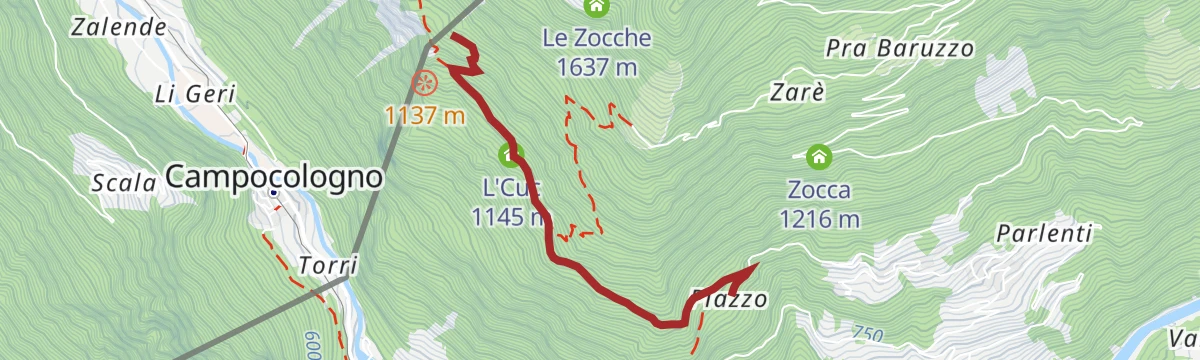
Open route Valtellina OutdoorLocalita' Piazzo (Baruffini) - Former Finance Barracks, Swiss border with Joëlette
A track from Piazzo above Baruffini to the former customs post on the Swiss frontier, wide and even enough for a Joëlette wheelchair.
- 5.4 km
- Distance
- 366 m
- Ascent
- 2 h 27 min
- Duration
Open route Valtellina OutdoorMar fiorito: in bici tra i meleti
A valley-floor ride through the apple orchards of the Valtellina, from Tirano down to Ponte in Valtellina and back by way of Tresenda.
- 32.8 km
- Distance
- 213 m
- Ascent
- 3 h 7 min
- Duration
- 5
- Check-ins
The Smuggling and Memory Path
A signposted route from Baruffini up to Sasso del Gallo on the Swiss border, with panels recounting the smuggling trade of the Valtellina.
- 8.1 km
- Distance
- 520 m
- Ascent
- 3 h 33 min
- Duration
Open route Valtellina Outdoor








No routes of this kind in Tirano yet.
The region's own picks
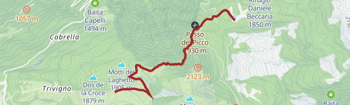
Featured route
Trivigno - Guspessa Pass
An easy walk from Trivigno to the Guspessa pass, on the pastured ridge between the Valtellina and the Mortirolo.
Planning a trip to Tirano?
Everything else Lombardy has, in one place


Take Tirano with you into the mountains
Every route on this page with 3D terrain, GPX navigation and offline maps — including the valleys with no signal.
Data sources
- Official website: italia.it ↗
- Routes and highlights: Valtellina Outdoor, Sondrio e Valmalenco, Visitbrescia, in Lombardia
- Published as open data by the tourist boards named above.
- Region summary generated from the board's own material.
