












Curated by Trentino Fishing
Tione di Trento
Main town of the Giudicarie valleys, where the Sarca and the Adamello roads meet.
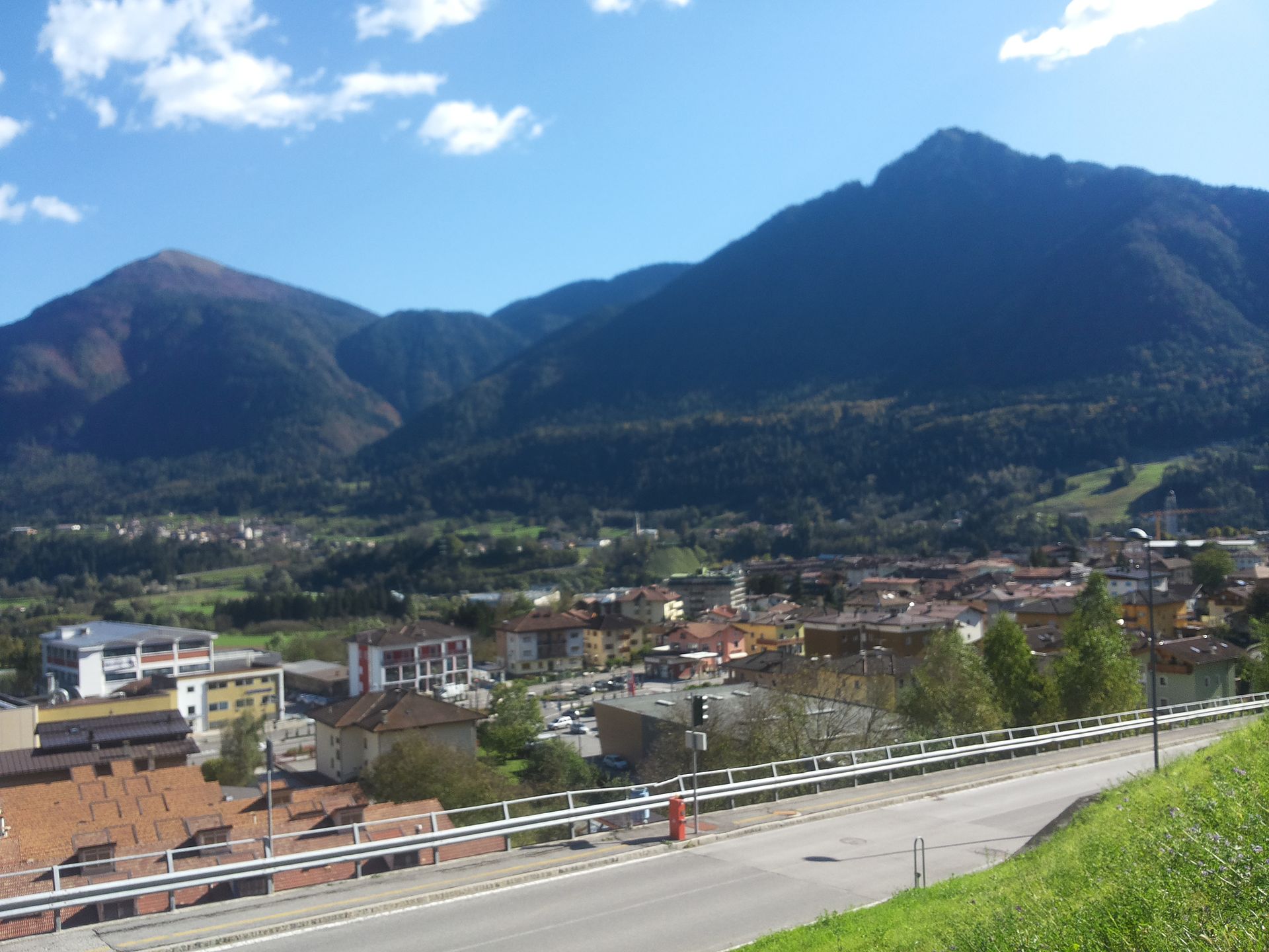
Photo: Adert · CC BY-SA 4.0 licence
- 2Highlights
- 28Routes
- Featured summit · Monte Cengledino
Highlights
All 2 from neighbouring places
Baita Valon
12.5 km away, in Comano Terme
A hut on the Valon meadows above Comano, used for walks and for its dark night skies.
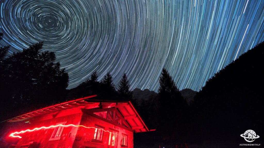
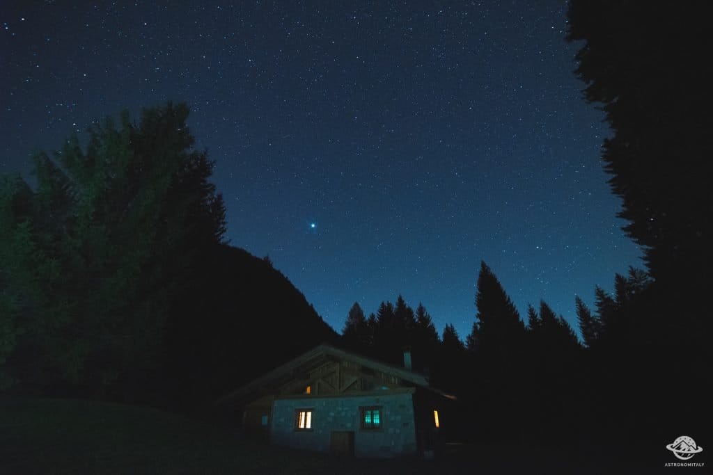
Stargazing a Baita Valon, Trentino
12.5 km away, in Comano Terme
Night-sky watching from the Valon meadows above Comano Terme, away from valley lights.
Nothing of this kind in Tione di Trento.
Routes
Laghi di Valbona W
A short flat stretch at the Valbona lakes near Tione di Trento in the Giudicarie.
- 1.7 km
- Distance
- 13 m
- Ascent
- 35 min
- Duration
- 2
- Check-ins
 Laghi di Valbona 2 138 m
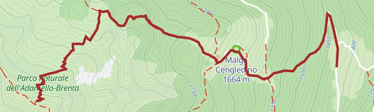
Open route Trentino FishingMonte Cengledino (Camp Antic)
A climb from Zeller through conifer forest to the Malga Cengledino and the Piana di San Martino, then up Monte Cengledino.
- 3.5 km
- Distance
- 713 m
- Ascent
- 2 h 38 min
- Duration
- 14
- Check-ins
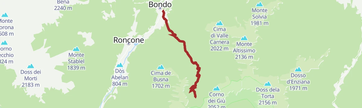
Open route APT Madonna di Campiglio, Pinzolo, Val RendenaBondo - Malga Campei
A steady 900 m climb from Bondo up to Malga Campei, shaded most of the way by beech and fir, starting beside the Austro-Hungarian war cemetery.
- 6.8 km
- Distance
- 890 m
- Ascent
- 3 h 34 min
- Duration
- 3
- Check-ins
Open route APT Madonna di Campiglio, Pinzolo, Val RendenaCima Campantich with skis
A ski-mountaineering route from Le Sole to the 2,138-metre Cima Campantich, with a direct line back through the woods.
- 11.5 km
- Distance
- 766 m
- Ascent
- 764 m
- Descent
- 3 h 49 min
- Duration
- 9
- Check-ins
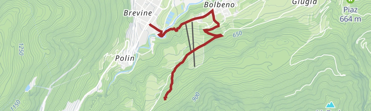
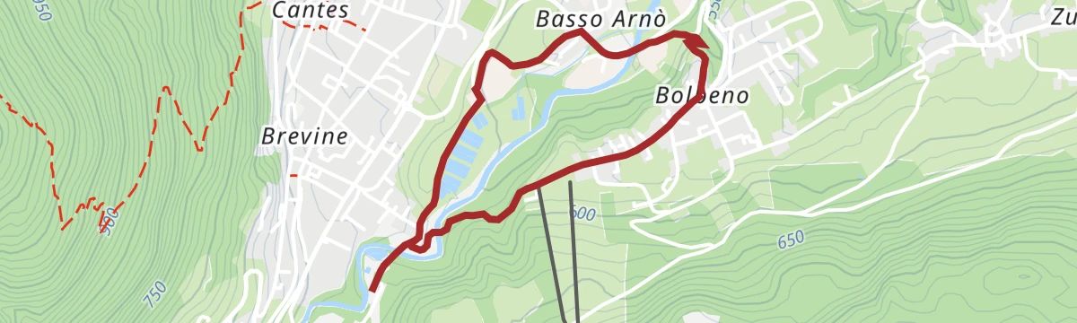
Open route APT Madonna di Campiglio, Pinzolo, Val RendenaTione di Trento - Bolbeno - Madonna del Lares
A short route from Tione along the Arnò stream to Bolbeno, then up the forest road to the Madonna del Lares.
- 3.1 km
- Distance
- 224 m
- Ascent
- 25 min
- Duration
Open route APT Madonna di Campiglio, Pinzolo, Val RendenaRoad bike tour of Campiglio and Comano
A long road day from Pinzolo down the Sarca to Comano Terme, then back over Passo Durone and the steeper Passo Daone above Preore.
- 106.9 km
- Distance
- 3 187 m
- Ascent
- 12 h 30 min
- Duration
- 205
- Check-ins
 Falesia Fontanella 1 384 m
 Fortini 1 629 m
- LAB Après-Ski 1 632 m
- Laghetto Conca Verde 1 496 m
 Passo Campo Carlo Magno 1 682 m
- La Cantina di Suisse 1 506 m
- +18
Open route APT Madonna di Campiglio, Pinzolo, Val RendenaA.S.D. Il Gamberetto PS
A few metres of bank at a stocked fishing pond on the valley floor at Tione di Trento.
- 147 m
- Distance
- 2 m
- Ascent
- 2 min
- Duration
Valbona - The Path of the Valleys
From Zeller on SAT 225 to the Malga Cengledino, the Valbona lakes and the larch basin of the Piana di San Martino under Monte Cengledino.
- 10.3 km
- Distance
- 791 m
- Ascent
- 5 h 8 min
- Duration
- 13
- Check-ins
Open route APT Madonna di Campiglio, Pinzolo, Val RendenaThe stage of 2022 Giro d'Italia Women.
A race-length road route from the Rotaliana plain to San Lorenzo Dorsino, with three long climbs by way of Andalo, Molveno and Passo Santel.
- 113.6 km
- Distance
- 3 474 m
- Ascent
- 13 h 10 min
- Duration
- 137
- Check-ins
- Fontanella 845 m
- Lago Park Hotel 826 m
- Grand Hotel Molveno 838 m
- Tre3 1 037 m
- Albergo El Paso 1 036 m
- Passo Santel 1 040 m
- +20
Open route APT Dolomiti di Brenta e PaganellaDivieto Rio Finale
A brief flat stretch on the Rio Finale at Tione, marking a reach where fishing is not allowed.
- 288 m
- Distance
- 0 m
- Ascent
- 7 min
- Duration
Rio Maftina Z
A steep short line beside the Rio Maftina above Tione, following the stream up its wooded gully.
- 1.8 km
- Distance
- 540 m
- Ascent
- 1 h 53 min
- Duration
Open route Trentino FishingDurone - Valle del Chiese - Valle di Ledro
A demanding day from Riva del Garda over the Passo Ballino and on through Tione, five lakes along the way and a constant up and down on quiet roads.
- 91.7 km
- Distance
- 2 309 m
- Ascent
- 10 h 12 min
- Duration
- 112
- Check-ins
- Garda Dolomiti Azienda per il turismo S.p.A. 69 m
- Info Point Gardatrentino 657 m
- Info Point Riva del Garda 69 m
- Ingarda 603 m
- Bar Ristorante Passo Durone 995 m
- Passo dell'Ampola 747 m
- +13
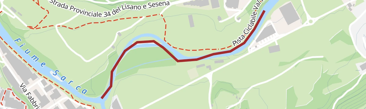
Open route Garda TrentinoFiume Sarca Località Cenglo/Tonello NK1
A short and level walk along the bank of the Sarca where it runs past Tione di Trento, with barely any climbing.
- 1.2 km
- Distance
- 12 m
- Ascent
- 17 min
- Duration
Open route Trentino FishingFrom Paganella to Giudicarie
A long road day from the Andalo plateau into the Giudicarie, with the climb to the Passo Durone as the main effort.
- 74.9 km
- Distance
- 2 360 m
- Ascent
- 8 h 52 min
- Duration
- 80
- Check-ins
- Fontanella 845 m
- Lago Park Hotel 826 m
- Grand Hotel Molveno 838 m
- Sella di Andalo 1 042 m
- APT Dolomiti Paganella 1 021 m
- Bar Ristorante Passo Durone 995 m
- +7
Open route APT Dolomiti di Brenta e PaganellaFiume Sarca Riserva R1 Regorie
A level stretch of the Sarca at Regorie near Tione, on the gravel of the river's Giudicarie reach.
- 1.3 km
- Distance
- 12 m
- Ascent
- 20 min
- Duration
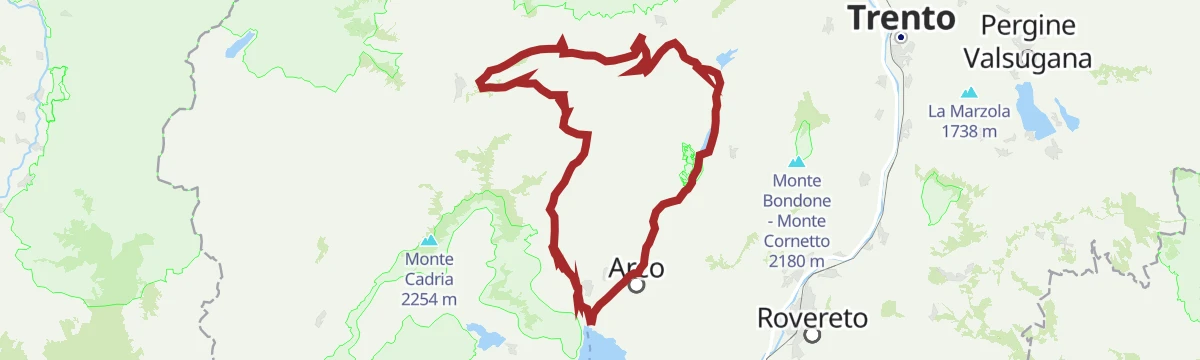
Ballino - Durone - Stenico
A road circuit from Riva over the Ballino and Durone passes, holding height across to Stenico.
- 87.5 km
- Distance
- 2 198 m
- Ascent
- 9 h 50 min
- Duration
- 71
- Check-ins
- Garda Dolomiti Azienda per il turismo S.p.A. 69 m
- Info Point Riva del Garda 69 m
- Ingarda 603 m
- Bar Ristorante Passo Durone 995 m
- Casa sociale 248 m
- Info Point - Garda Trentino - Arco 90 m
- +7
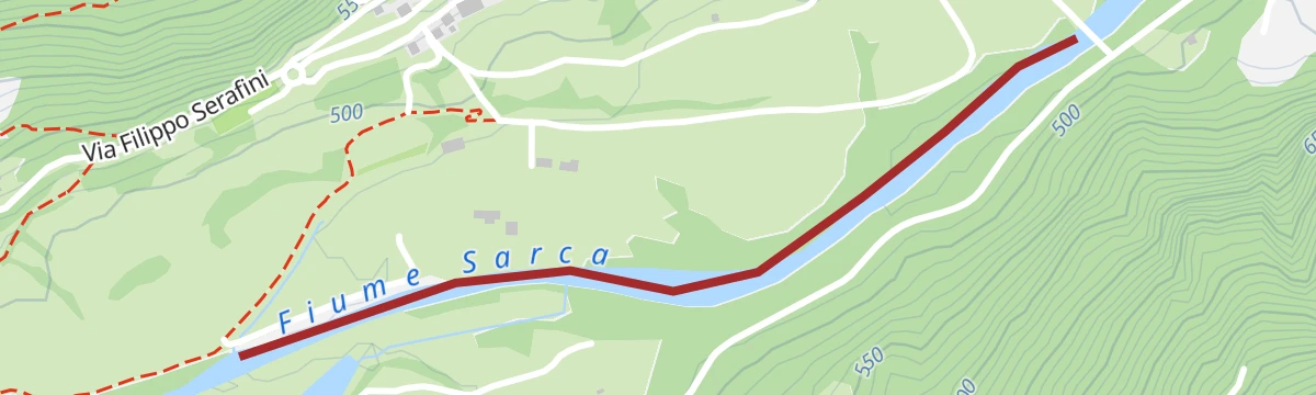
Open route Garda TrentinoFiume Sarca Tione
A short reach of the Sarca below the Ragoli bridge, running down towards the Ponte Pià reservoir.
- 617 m
- Distance
- 2 m
- Ascent
- 9 min
- Duration
Medium Route - Top Dolomites Gran Fondo
The shorter of the granfondo road courses, running from Pinzolo over the Passo del Durone and finishing with the climb to Madonna di Campiglio.
- 83.5 km
- Distance
- 2 519 m
- Ascent
- 9 h 31 min
- Duration
- 45
- Check-ins
- Falesia Fontanella 1 384 m
- La Cantina di Suisse 1 506 m
- Panorama Hotel Fontanella 1 434 m
- Bar Ristorante Passo Durone 995 m
- Passo del Durone 1 010 m
- Chiesetta degli alpini 1 029 m
- +3
Open route APT Madonna di Campiglio, Pinzolo, Val RendenaFiume Sarca Tione-Pinzolo da confluenza Sarca Val Genova a confluenza Arnò B
A brief riverside section of the Sarca between Tione and Pinzolo, running from the Val Genova confluence towards the mouth of the Arnò.
- 1.2 km
- Distance
- 15 m
- Ascent
- 18 min
- Duration
Open route Trentino FishingChiese Valley Cycle Path
The Chiese valley cycle path from Lake Idro up through Storo to Bondo, by the Roncone lake.
- 36.9 km
- Distance
- 546 m
- Ascent
- 3 h 44 min
- Duration
- 14
- Check-ins
- Lago di Roncone 786 m
- Albergo Eden 797 m
- Consorzio turistico valle del Chiese 496 m
- Punto Info Breguzzo 805 m
- Bici Grill 418 m
Open route VisitTrentinoFiume Sarca dalla confluenza Torrente Arnò - Bacino Ponte Pià A1
A level route along the Sarca from the mouth of the Arnò down to the Ponte Pià reservoir.
- 5.7 km
- Distance
- 0 m
- Ascent
- 1 h 24 min
- Duration
Open route Trentino FishingDolomiti di Brenta Bike Explorer - Central Giudicarie: the Val di Breguzzo
A long loop from Tione up the wooded Val di Breguzzo, calling at Malga Cengledino and Malga Lodranega before the return along the Rendena valley.
- 51.6 km
- Distance
- 1 916 m
- Ascent
- 6 h 23 min
- Duration
- 12
- Check-ins
- Malga Cengledino 1 664 m
- Malga Lodranega 1 673 m
- Breg Adventure Park 1 141 m
- Madonna del Monte 1 301 m
- Malga Le Sole 1 496 m
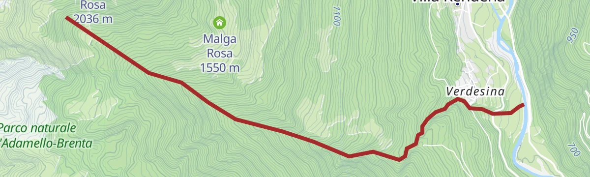
Open route APT Dolomiti di Brenta e PaganellaHealty path: Tione - Verdesina
A loop from the Sivrè quarter of Tione up through the Cenglo district and a forest road to Verdesina, among big maple, ash and chestnut.
- 5.9 km
- Distance
- 153 m
- Ascent
- 1 h 45 min
- Duration
Open route APT Madonna di Campiglio, Pinzolo, Val RendenaRio Finale Z
A flat route along the Rio Finale in the Rendena, following the stream for its whole length.
- 5.0 km
- Distance
- 0 m
- Ascent
- 2 h 56 min
- Duration
Open route Trentino FishingRio Rediver Z
A flat route beside the Rio Rediver in the Giudicarie, close to the water for its whole length.
- 5.2 km
- Distance
- 0 m
- Ascent
- 2 h 37 min
- Duration
Open route Trentino FishingRoute of the industrial waters, between past and present uses of the waters of the Arnò
A short themed walk around Tione tracing how the Arnò once powered the basin's glassworks, forges and dye works.
- 2.8 km
- Distance
- 62 m
- Ascent
- 50 min
- Duration
Open route APT Madonna di Campiglio, Pinzolo, Val RendenaTorrente Arnò PP3
A very short waterside stretch on the Arnò stream at Tione di Trento, taking only a few minutes from end to end.
- 402 m
- Distance
- 10 m
- Ascent
- 7 min
- Duration
Open route Trentino FishingTorrente Arnò basso da confluenza Torr. Fiana a confluenza Fiume Sarca I
A low-level walk along the Arnò from the Fiana confluence down to where the torrent meets the Sarca.
- 5.8 km
- Distance
- 41 m
- Ascent
- 1 h 42 min
- Duration
Open route Trentino Fishing
No routes of this kind in Tione di Trento yet.
The region's own picks

Featured route
Laghi di Valbona W
A short flat stretch at the Valbona lakes near Tione di Trento in the Giudicarie.
Planning a trip to Tione di Trento?
Everything else Trentino-Alto Adige/Südtirol has, in one place


Take Tione di Trento with you into the mountains
Every route on this page with 3D terrain, GPX navigation and offline maps — including the valleys with no signal.
Data sources
- Official website: campigliodolomiti.it ↗
- Routes and highlights: Trentino Fishing, APT Madonna di Campiglio, Pinzolo, Val Rendena, Visit Trentino, APT Dolomiti di Brenta e Paganella, Astrotourism, Garda Trentino, VisitTrentino
- Published as open data by the tourist boards named above.
- Region summary generated from the board's own material.
