
 Historic site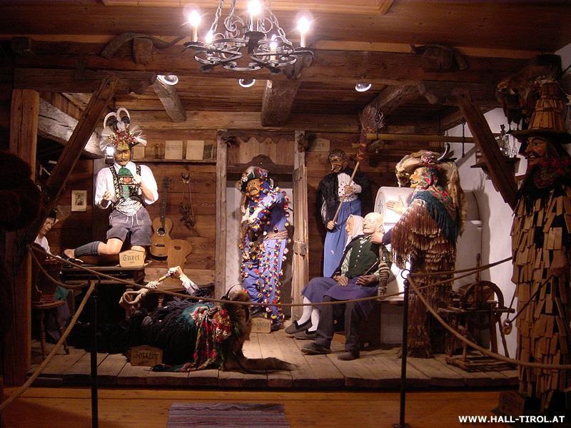





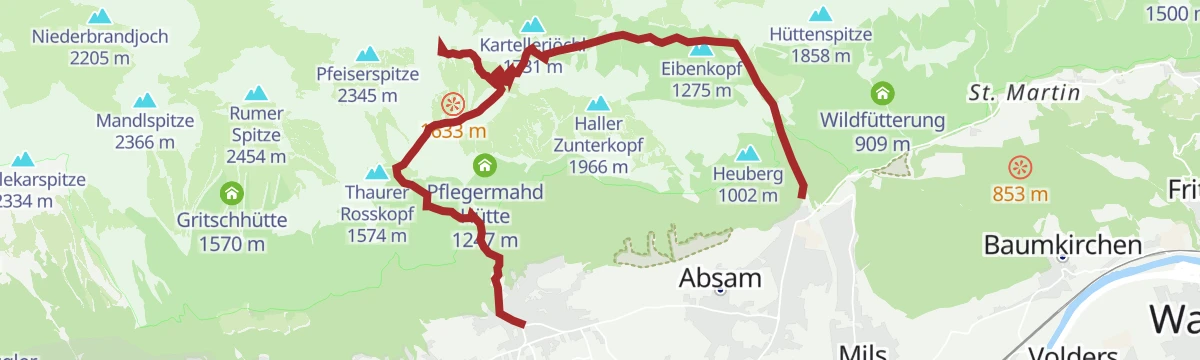

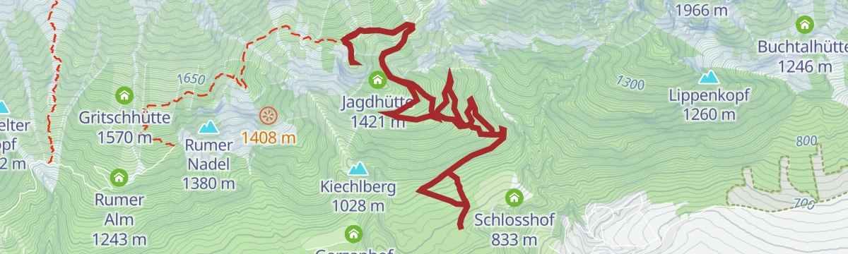
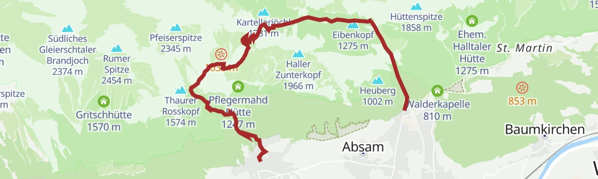

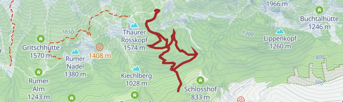





Curated by Region Hall-Wattens
Thaur
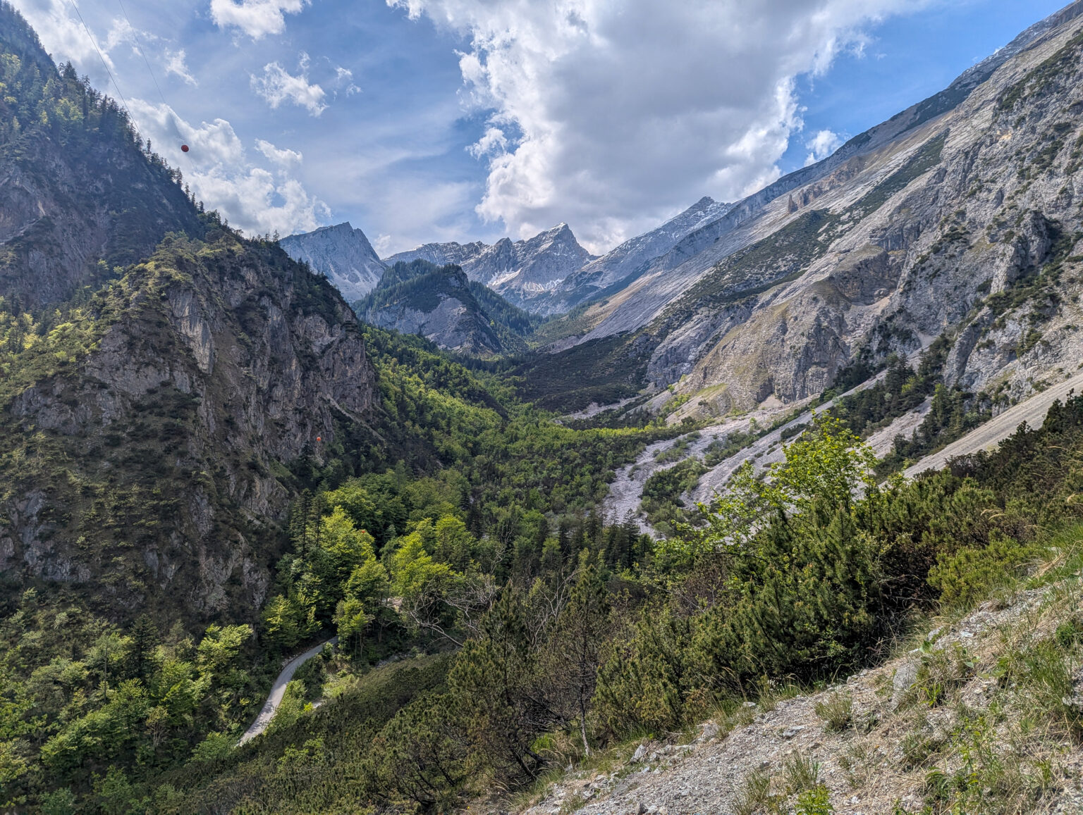
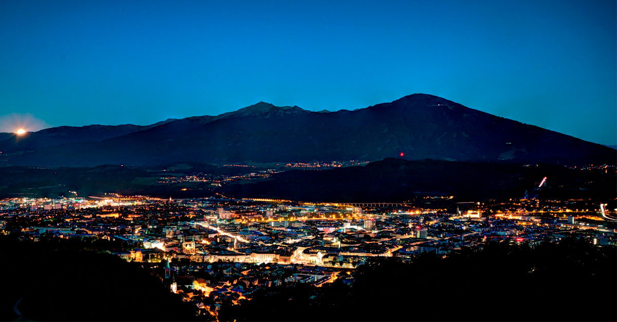
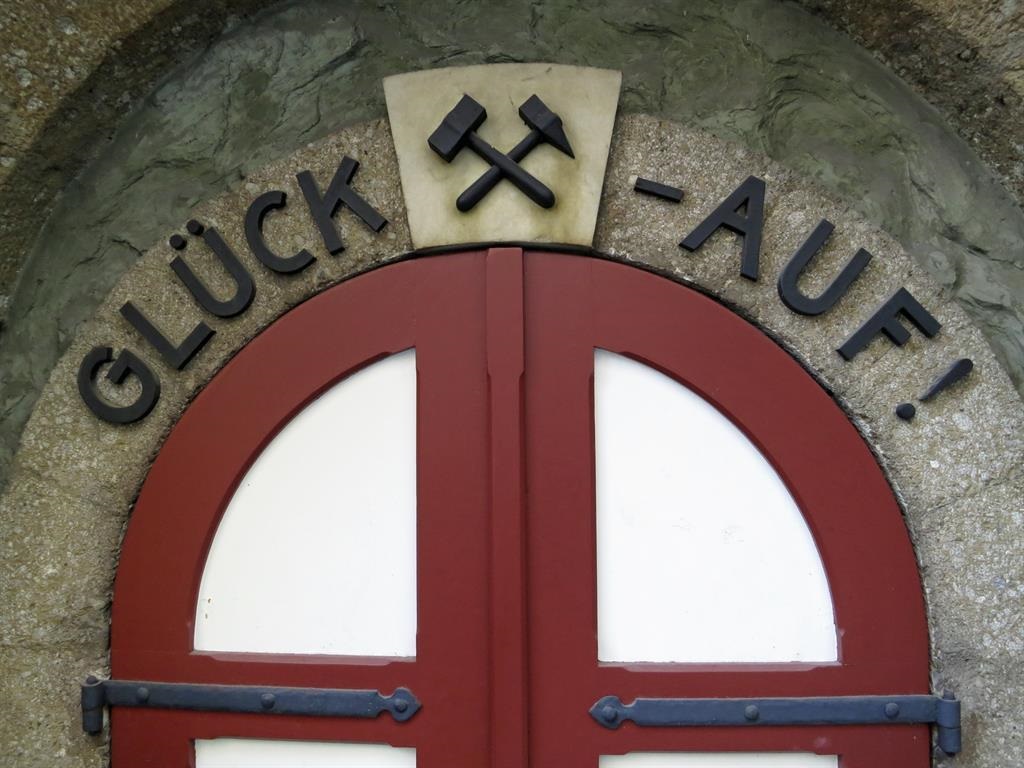
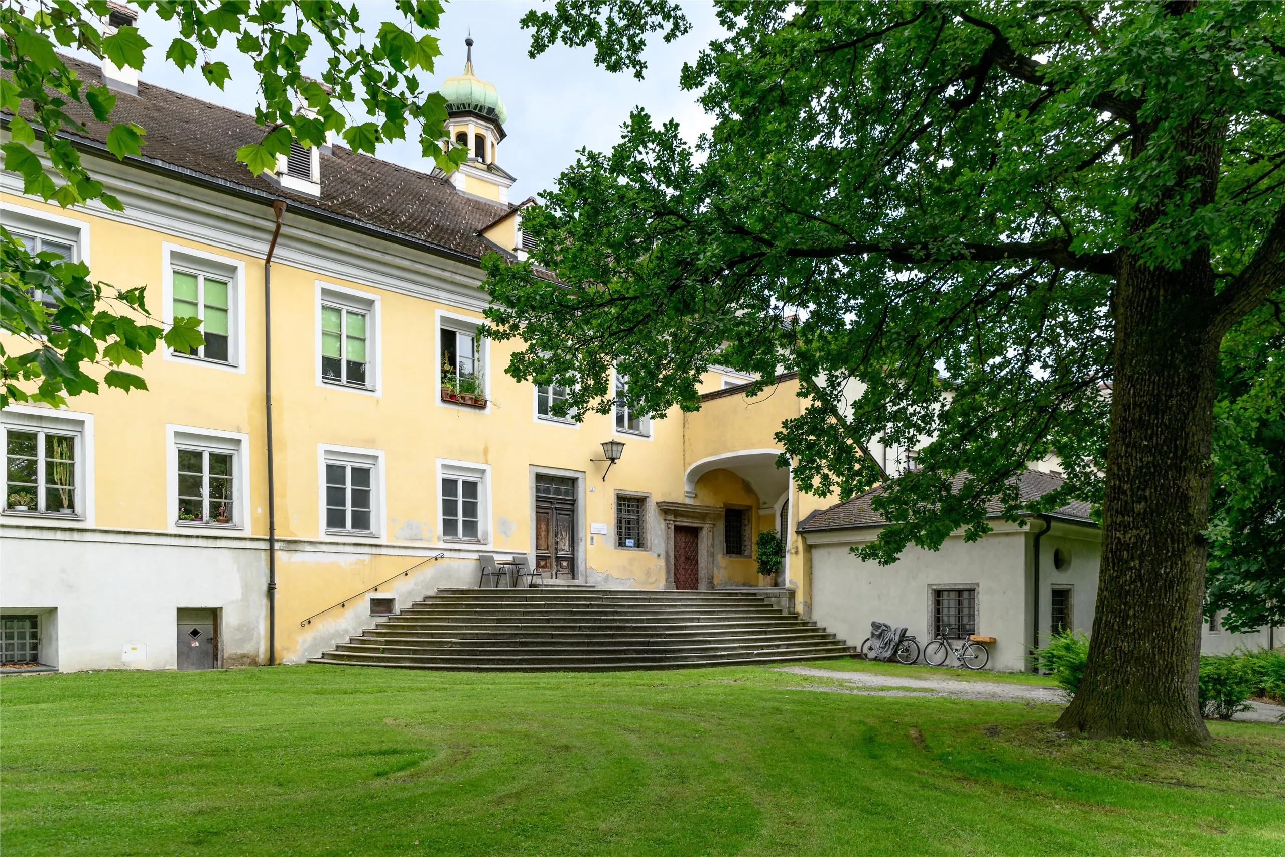
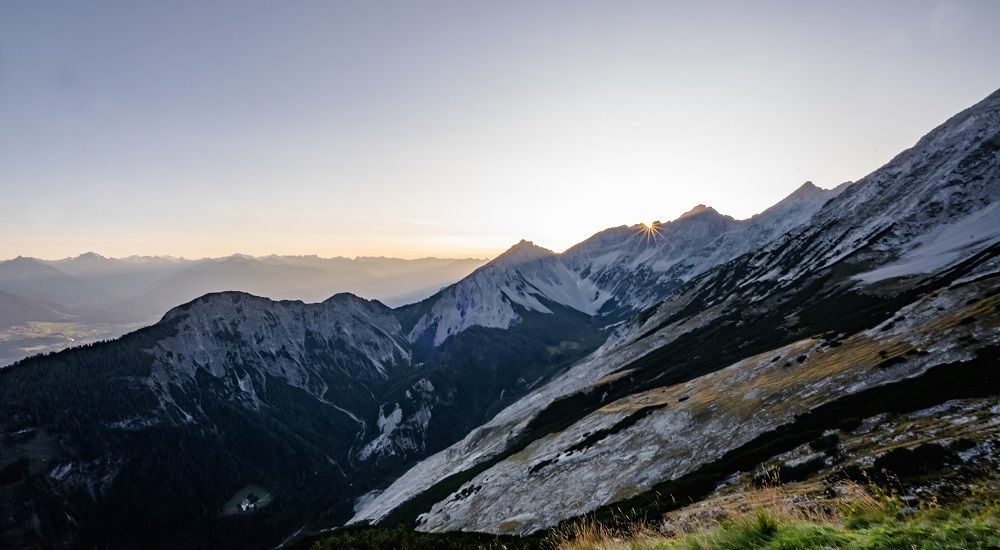
A vegetable-growing village between Rum and Hall at the foot of the Karwendel, its farming core intact under a castle ruin and the Romedius pilgrimage church.
- 6Highlights
- 30Routes
- Featured summit · Hafelekarspitze
Highlights
9 from neighbouring places
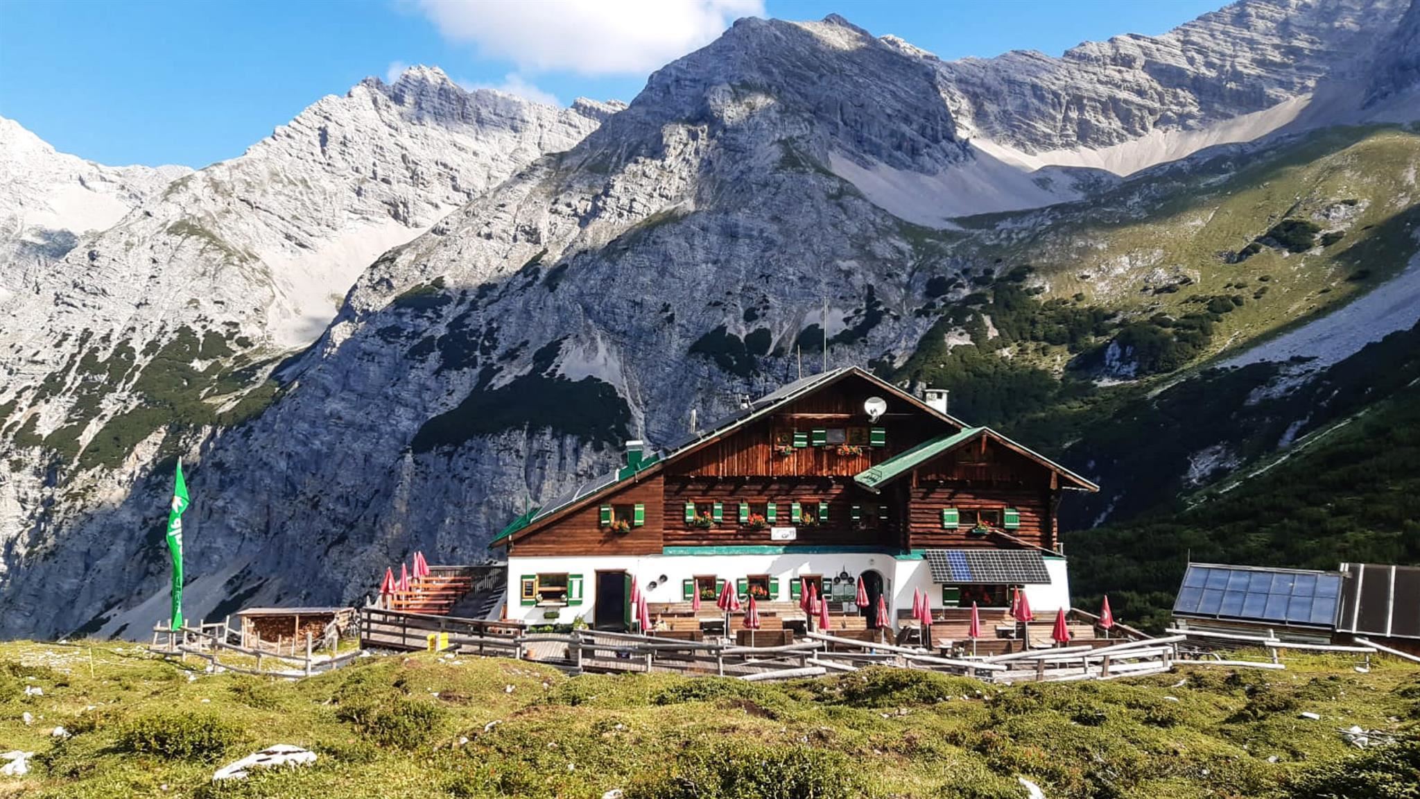
Pfeishütte
An Alpine Club hut at about 1,920 m below the Stempeljoch in the Karwendel, on hut-to-hut routes between the Nordkette and Scharnitz.
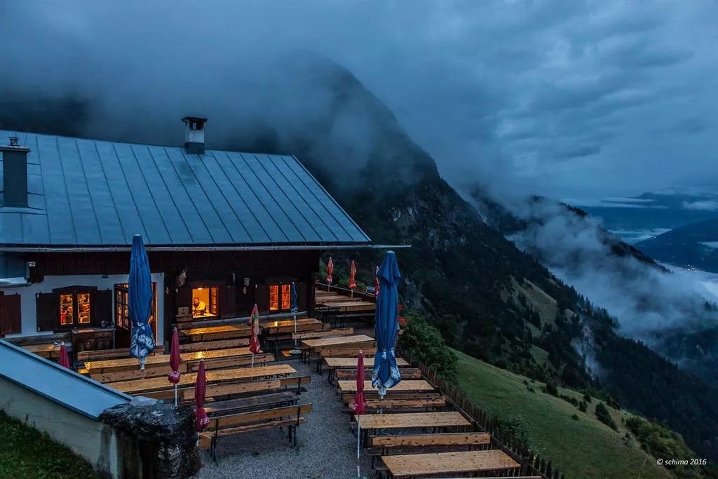
Thaurer Alm
A pasture hut above Thaur at the foot of the Karwendel walls, a well-used lunch stop serving Tyrolean dishes on the way to the Thaurer Joch.
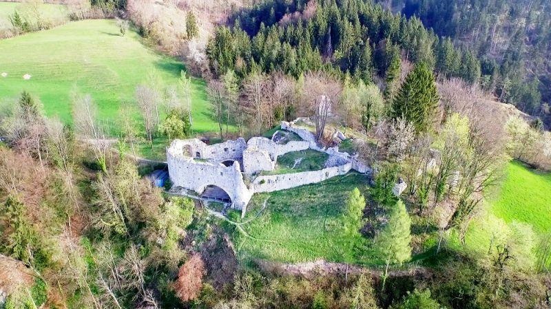
Ruine Thaur
The ruin of a medieval castle on a hill above Thaur, once an administrative seat; the partly excavated walls are freely accessible on a short climb.
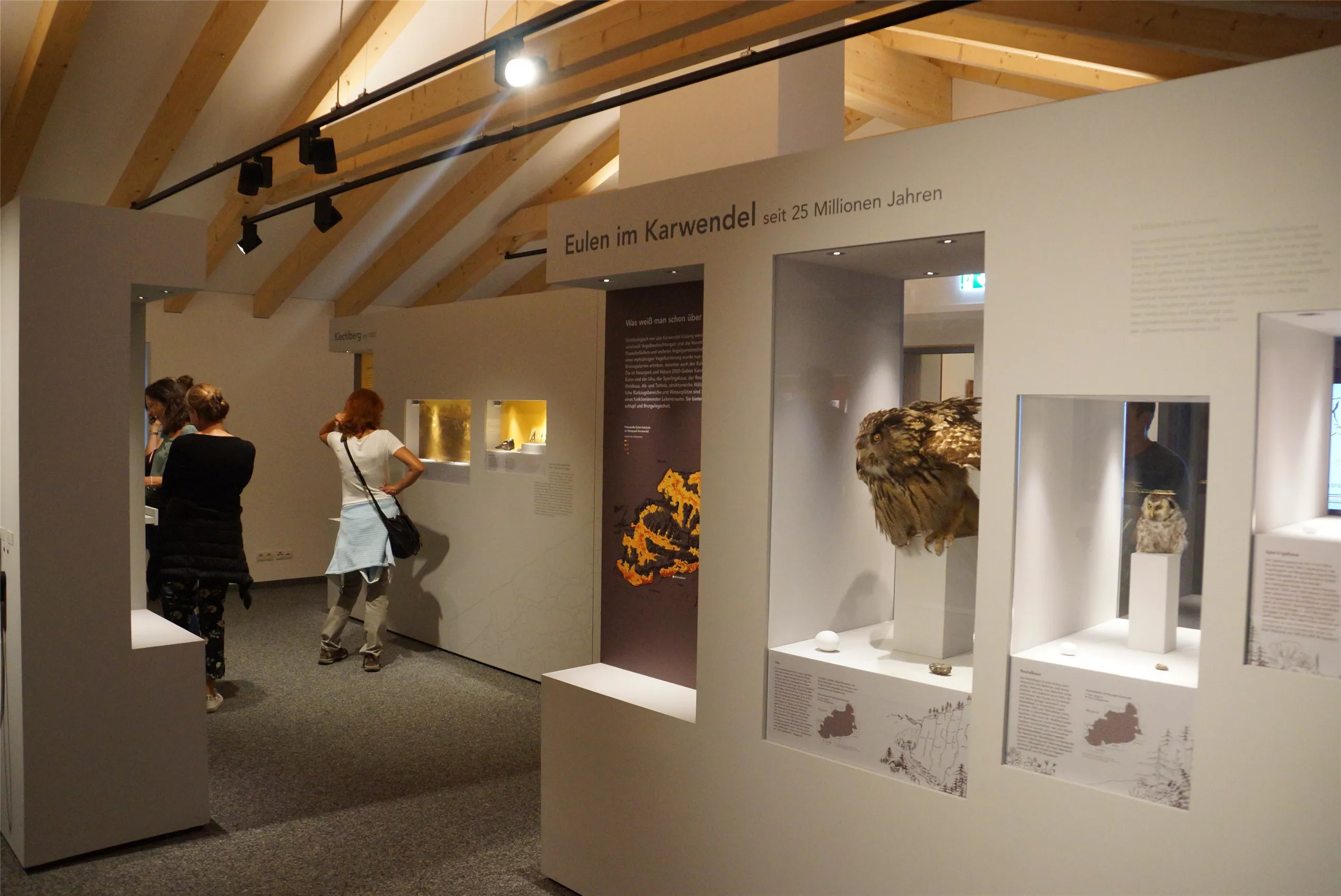
rundumthaur | Schauraum und interaktiver Rundgang
A showroom and interactive circuit in Thaur linking finds and stories from the castle ruin with the history of the village below it.
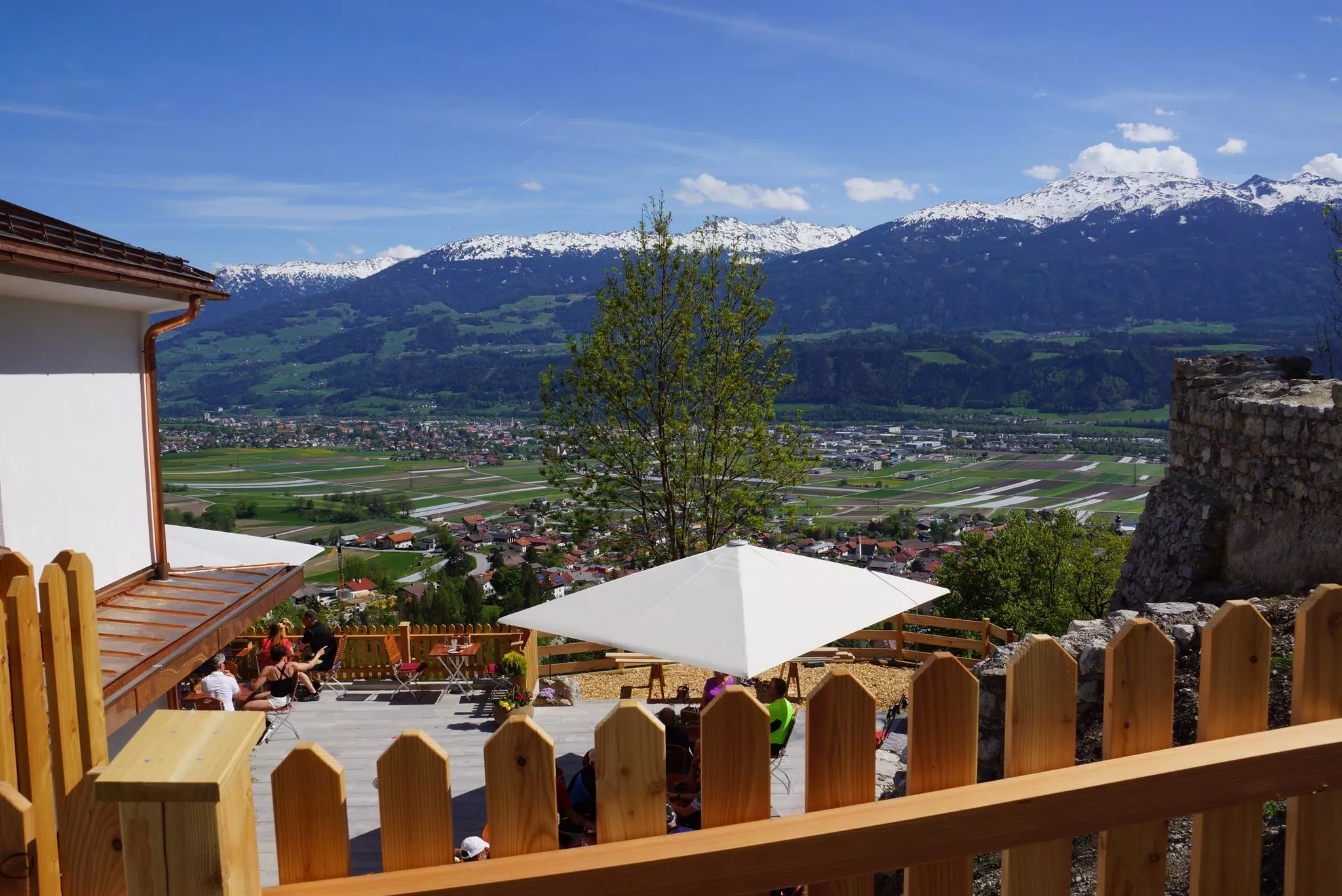
Romediwirt
An inn on the hill at Thaur next to the Romedikirche pilgrimage church, serving Austrian cooking with a beer garden and valley views.
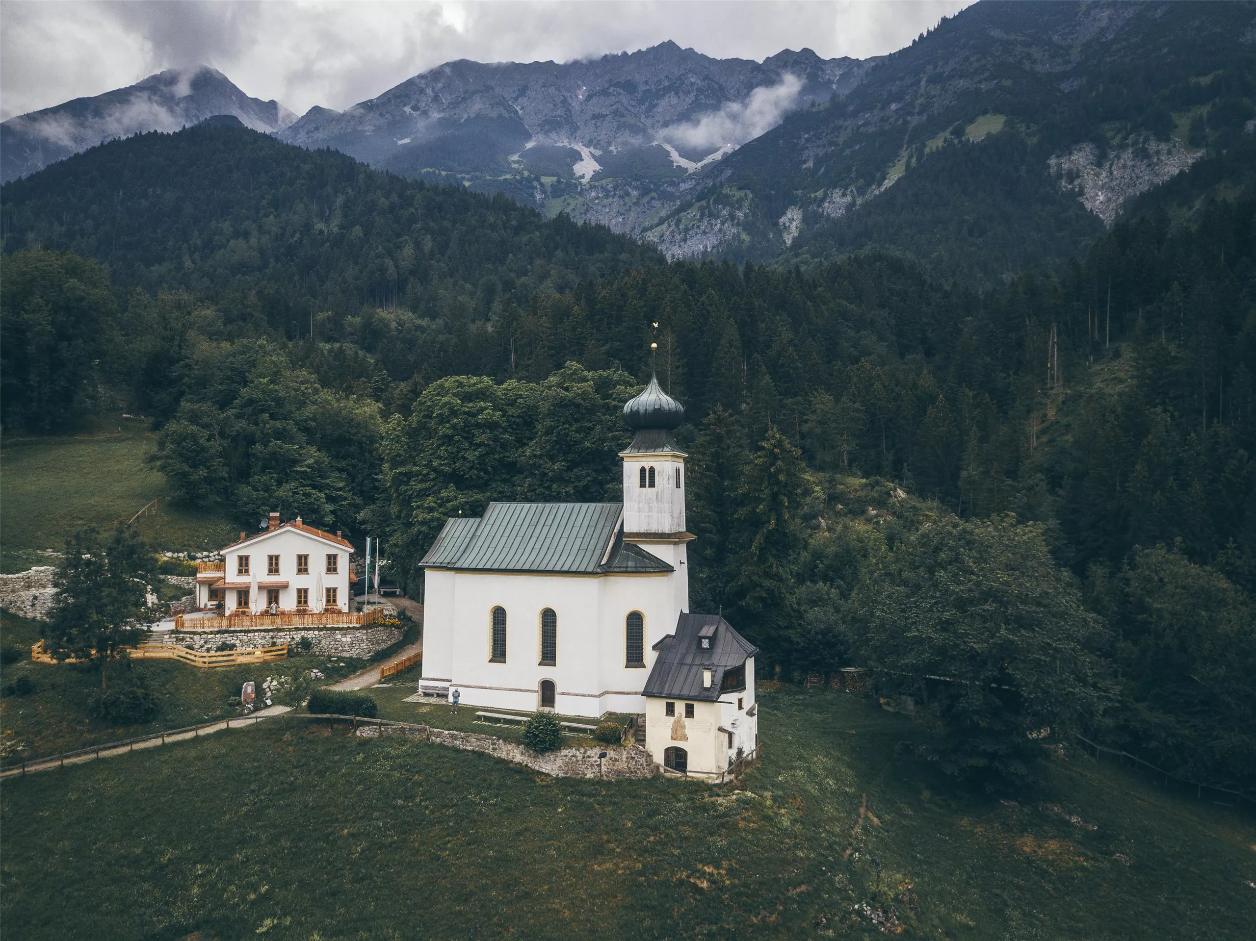
Romedikirche
A pilgrimage church of St Romedius on a hill above Thaur, standing beside the castle ruin and reached by a short walk from the village.
Gemeindemuseum Absam
3.6 km away, in Absam
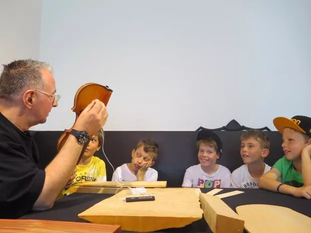
The local museum of Absam, covering village history in the home village of the 17th-century violin maker Jakob Stainer.
Matschgerermuseum Absam
3.8 km away, in Absam
A museum in Absam on the Matschgerer, the village's traditional carnival figures, showing their carved wooden masks and costumes.
Naturpark Karwendel
4 km away, in Rum
Tirol's largest nature park, covering the Karwendel range north of Innsbruck with limestone peaks, wild river valleys and old mountain forests.
Hallenbad Olympisches Dorf
4.3 km away, in Rum
An indoor pool in Innsbruck's Olympic Village quarter, serving the east of the city with public swimming through the year.
Badesee Rossau (Baggersee) Innsbruck
4.7 km away, in Innsbruck
A former gravel pit in Innsbruck's Rossau district run as a public swimming lake, with lawns and facilities in the summer season.
Pfarrkirche St. Nikolaus
4.8 km away, in Hall in Tirol
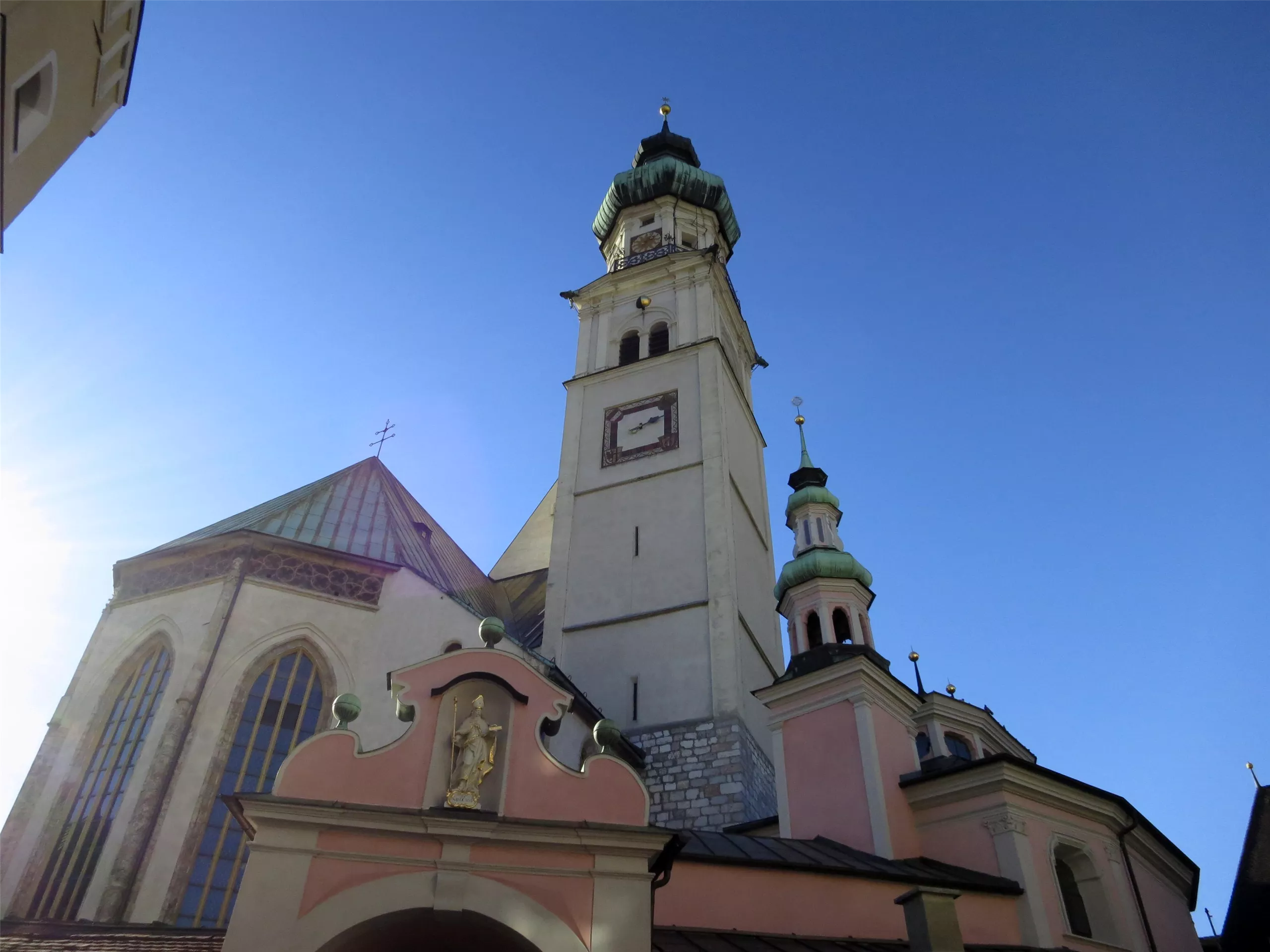
The Gothic parish church of Hall in Tirol, dedicated to St Nicholas, whose broad nave anchors the upper square of the medieval old town.
Klocker Museum
4.8 km away, in Hall in Tirol
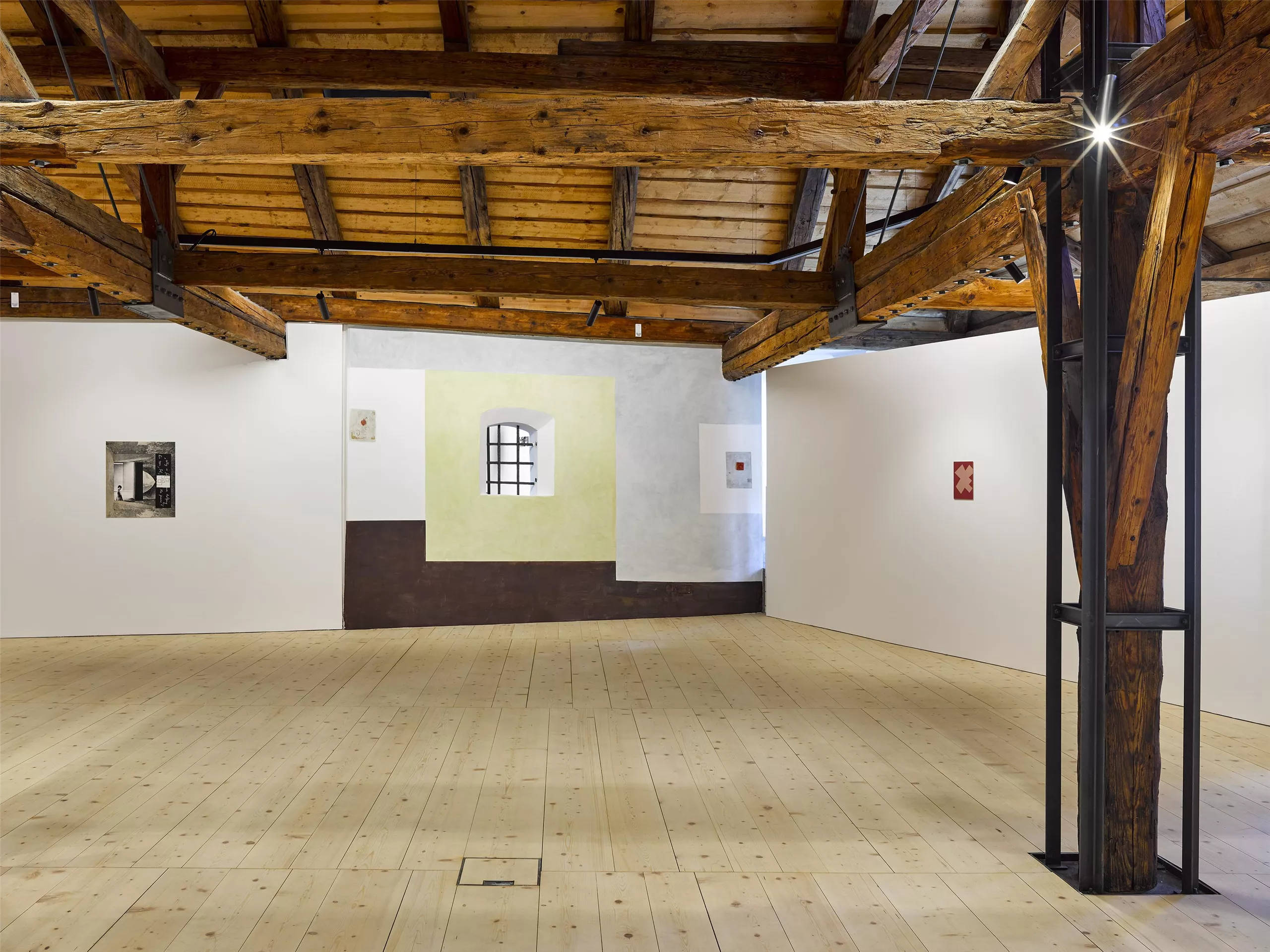
A private museum in the old town of Hall in Tirol, showing changing exhibitions drawn from an art collection built up over decades.
Bergbaumuseum Hall in Tirol
4.9 km away, in Hall in Tirol
A museum in Hall in Tirol on the salt mining of the Halltal, with a reconstructed mine gallery showing how the town's wealth was dug from the mountain.
Johanneskirche
4.9 km away, in Hall in Tirol
A church dedicated to St John within the old town of Hall in Tirol, one of several historic churches a few steps from the main square.
Nothing of this kind in Thaur.
Routes
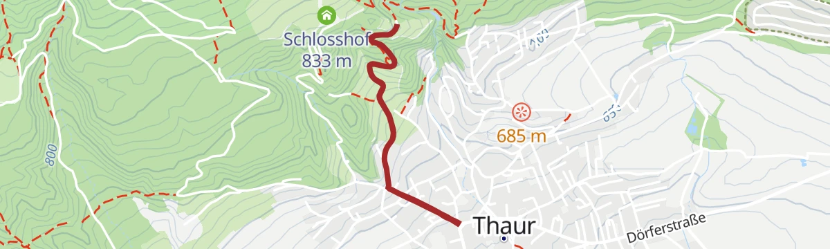
Romediuskirchl - Runde
A 6.6 km round on forest and meadow paths into the village of Thaur, with a steep pull at the end up to the Romediuskirchl.
- 6.6 km
- Distance
- 268 m
- Ascent
- 2 h 12 min
- Duration
- 1
- Check-ins
Karwendel Höhenweg - Gehrichtung Reith- Scharnitz (Etappe 4): Pfeishütte - Bettelwurfhütte
Fourth stage of the high route, 9 km from the Pfeishütte over the Stempeljoch to the Bettelwurfhütte on a path laid out by the Wilde Bande climbers in 1929.
- 9.0 km
- Distance
- 560 m
- Ascent
- 3 h 33 min
- Duration
- 41
- Check-ins
Adlerweg-Etappe 12: Hallerangerhaus - Nordkette Innsbruck
Eagle Walk stage crossing the Karwendel from the Hallerangerhaus to the Pfeishütte, then continuing over the Mühlkarscharte to the Nordkette lifts above Innsbruck.
- 18.0 km
- Distance
- 1 204 m
- Ascent
- 8 h 6 min
- Duration
- 169
- Check-ins
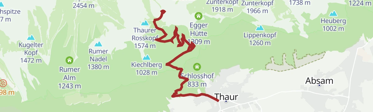
Tour - Thaurer Alm MTB Route 5063
A steep forest-road grind above Thaur, 838 m of climbing in barely 7 km to the pasture and its ski hut at 1,464 m.
- 7.3 km
- Distance
- 836 m
- Ascent
- 1 h 19 min
- Duration
- 4
- Check-ins
Über die MARTHA Dörfer und das Tulfer Plateau
A round over the mid-mountain villages east of Innsbruck, topping out near Rinn at about 930 m before dropping back to the valley floor.
- 39.5 km
- Distance
- 659 m
- Ascent
- 4 h 7 min
- Duration
- 3
- Check-ins
Rennrad 17 Highway to Höll - auf den Spuren der Rad WM 2018
A long ride on the roads of the 2018 world championships, out along the Inn valley and up to the Hungerburg terrace above Innsbruck.
- 110.0 km
- Distance
- 1 100 m
- Ascent
- 10 h 47 min
- Duration
- 42
- Check-ins
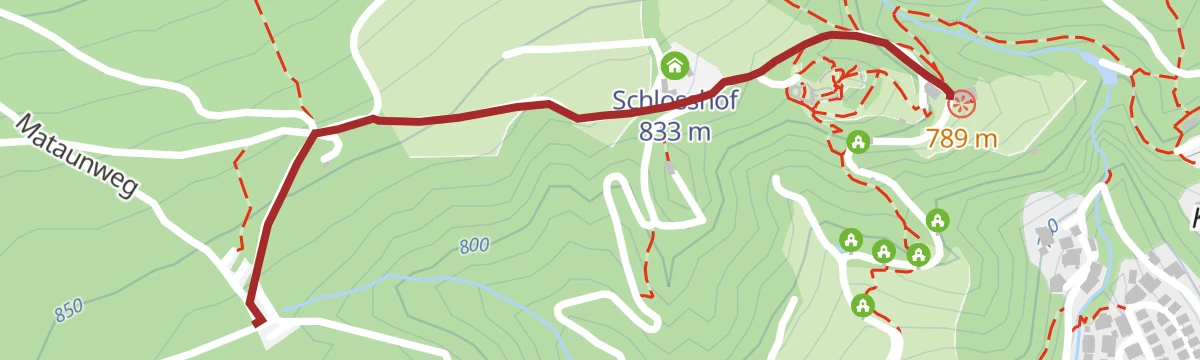
Vom Thaurer Almparkplatz über das Thaurer Schloss zum Romediwirt
Under 2 km from the Thaur alm car park past the castle ruin to the Romediwirt, with 86 m of climb.
- 1.9 km
- Distance
- 69 m
- Ascent
- 37 min
- Duration
- 1
- Check-ins
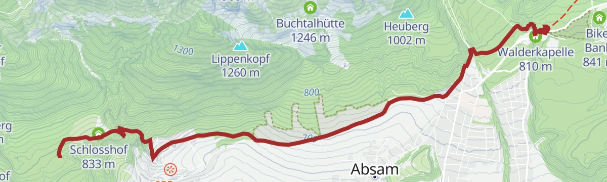
Abwechslungsreiche Wanderung entlang des Adolf- Pichler-Weges
An 11.3 km hillside route from Absam over meadows and through woods to the Hungerburg above Innsbruck, with 360 m of climb.
- 11.3 km
- Distance
- 340 m
- Ascent
- 3 h 22 min
- Duration
- 23
- Check-ins
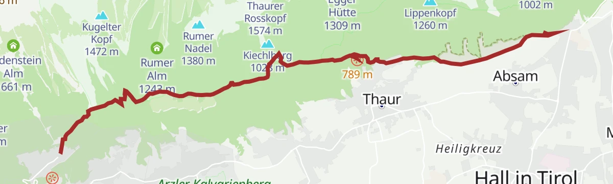
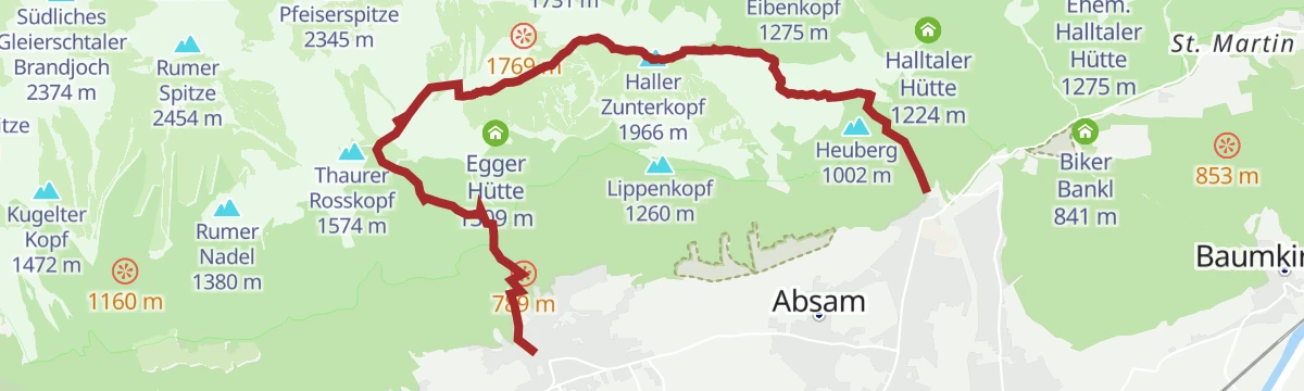
Bergsagen Weitwanderweg: Etappe 4 von Thaur nach Gnadenwald
Fourth Bergsagen stage in the Karwendel nature park, 16.2 km with a long 1,300 m climb before the descent into the Halltal and out to Gnadenwald.
- 16.2 km
- Distance
- 1 296 m
- Ascent
- 7 h 52 min
- Duration
- 38
- Check-ins
Innsbruck - Hinterhornalm
A road climb from Innsbruck's old town up the toll road above Thaur to the Hinterhorn Alm at 1,522 m, and the same way back.
- 41.5 km
- Distance
- 1 168 m
- Ascent
- 4 h 47 min
- Duration
- 21
- Check-ins
Romedius Kirchlein leichte Wanderung in Thaur, Tirol
Short, sharp 2.6 km walk up to the little Romedius church on the hillside above Thaur.
- 2.6 km
- Distance
- 165 m
- Ascent
- 1 h 7 min
- Duration
Auf den Spuren von Kaiser Franz I zur Kaisersäule
An 11 km climb of 884 m by the Thaurer Alm to the Kaisersäule, a stone-built column with a view over the Inn valley that Emperor Franz I once shared.
- 11.0 km
- Distance
- 863 m
- Ascent
- 5 h 35 min
- Duration
- 4
- Check-ins
Wildangerspitze
Demanding 14.9 km ascent of the Wildangerspitze out of the Halltal, with over 1,500 m of climb past the old salt-mining buildings.
- 14.9 km
- Distance
- 1 501 m
- Ascent
- 8 h 57 min
- Duration
- 29
- Check-ins
Innsbruck Hochplateau Ride
A demanding tour over the terraces above the Inn valley, taking in the Goldbichl and a string of mid-mountain farms and inns.
- 107.7 km
- Distance
- 2 530 m
- Ascent
- 11 h 57 min
- Duration
- 21
- Check-ins
Auf einen kleinen Aussichtsgipfel neben der Thaurer Alm: Thaurer Rosskopf
A 9.8 km climb of 741 m to the small summit of the Thaurer Rosskopf, set between the Thaurer Alm and the Vintl Alm.
- 9.8 km
- Distance
- 753 m
- Ascent
- 4 h 53 min
- Duration
- 4
- Check-ins
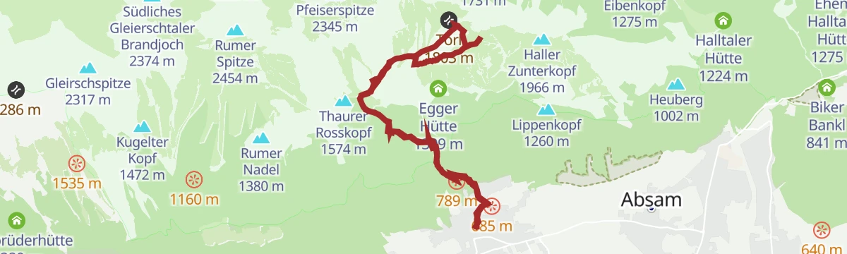
Über die Thaurer Alm zum Törl und in das Halltal
Demanding 13.4 km crossing over the pastures of the Thaurer Alm and the Törl gap, dropping into the Halltal with its mining history.
- 13.4 km
- Distance
- 1 163 m
- Ascent
- 7 h 9 min
- Duration
- 29
- Check-ins
After Work
An evening round on the terraces above Hall in Tirol, over the Palmbühel and past the Walderkapelle and the Großer Weiher at 630 m.
- 49.9 km
- Distance
- 1 032 m
- Ascent
- 5 h 24 min
- Duration
- 8
- Check-ins
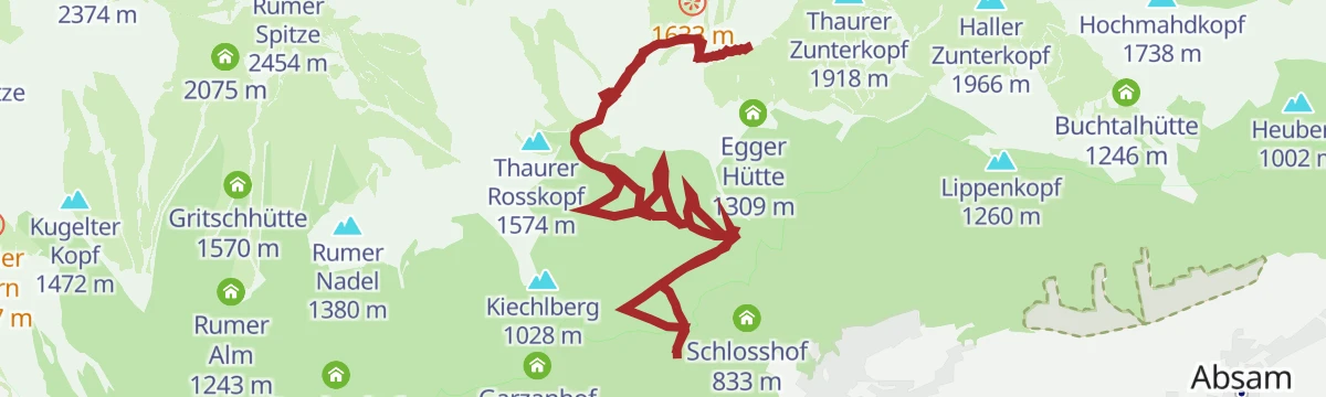
Vom Schlosshof auf die Thaurer Alm
A 636 m climb from the Schlosshof up to the Thaurer Alm in the Karwendel nature park, 7.3 km with the Inn valley far below.
- 7.3 km
- Distance
- 626 m
- Ascent
- 3 h 58 min
- Duration
- 4
- Check-ins
Romedius Pilgerweg mittelschwere Wanderung in Thaur, Tirol
Opening section of the pilgrim route from Thaur towards San Romedio, 23.8 km with 1,049 m of climb past the Europabrücke and the Sill reservoir.
- 23.8 km
- Distance
- 1 221 m
- Ascent
- 8 h 33 min
- Duration
- 20
- Check-ins
 Restaurant Europabrücke 914 m
 Ententeich 579 m
- Speicher Sillkraftwerk 881 m
- Speicher Sillkraftwerk 884 m
- Wasserschloss Ruetz 880 m
- Haus Inge 646 m
- +1
Rund um Innsbruck
A long road loop over the terraces east of Innsbruck, through Rinn and Ampass and down to the Inn at Fritzens and Wattens.
- 60.6 km
- Distance
- 1 464 m
- Ascent
- 6 h 45 min
- Duration
- 8
- Check-ins
Verbindungsstrecke Bogner Aste - Thaur
A well-used link along the Adolf-Pichler-Weg from Bogner Aste to Thaur, passing the Walderkapelle on the wooded terrace above the Inn.
- 7.4 km
- Distance
- 198 m
- Ascent
- 2 h 11 min
- Duration
- 3
- Check-ins
Vom Halltal über die 3 Zunterköpfe zur Kaisersäule
From the mouth of the Halltal over the three Zunterköpfe to the Kaisersäule, more than 1,200 m of climbing with the Thaurer Alm on the way.
- 12.0 km
- Distance
- 1 252 m
- Ascent
- 7 h 55 min
- Duration
- 20
- Check-ins
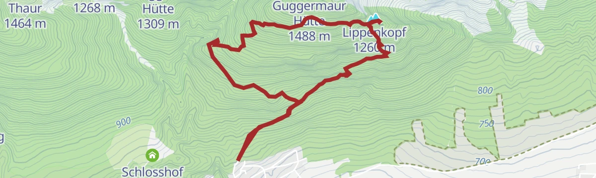
Lippenkopf schwere Bergtour in Thaur, Tirol
Steep 5.5 km climb of 627 m on quiet, little-used paths to the Lippenkopf above Thaur.
- 5.5 km
- Distance
- 605 m
- Ascent
- 3 h 40 min
- Duration
- 1
- Check-ins
Thaurer Zunterkopf - der kleine Nachbar vom Bettelwurf
A 13.5 km walk with 1,304 m of climb to the Thaurer Zunterkopf by way of the Törl, with the Thaurer Alm for a stop on the return.
- 13.5 km
- Distance
- 1 281 m
- Ascent
- 7 h 57 min
- Duration
- 8
- Check-ins
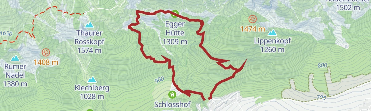
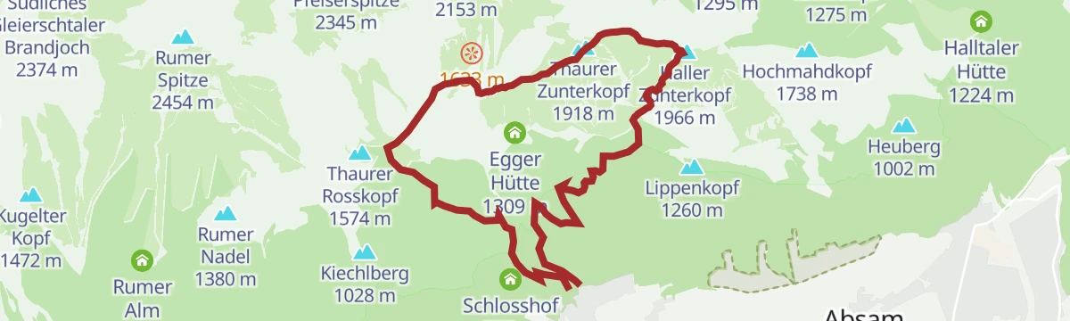
Egger Hütten Runde
A 6.8 km round on narrow paths past the huts on the Thaurer Mähder and back down through the Thaurer Klamm, 579 m of climb.
- 6.8 km
- Distance
- 597 m
- Ascent
- 3 h 45 min
- Duration
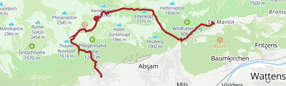
Über die Zunterköpfe oberhalb von Thaur
Round of 11.2 km from Thaur by the Guggermauer hut to the Haller Zunterkopf, on over the Thaurer Zunterkopf to the Kaisersäule, with 1,272 m of climb.
- 11.2 km
- Distance
- 1 254 m
- Ascent
- 7 h 33 min
- Duration
- 7
- Check-ins
Vier-Almen-Wanderung im Naturpark Karwendel
Long 17 km pasture round in the Karwendel nature park calling at four alms, among them the Thaurer Alm and the Rumer Alm, with 1,074 m of climb.
- 17.0 km
- Distance
- 1 048 m
- Ascent
- 7 h 11 min
- Duration
- 6
- Check-ins
Rum - Thaurer Alm - Rumer Alm
Demanding round from Rum up to the Thaurer Alm and Rumer Alm on the Nordkette's southern slopes, with several more huts dotting the descent.
- 13.7 km
- Distance
- 1 037 m
- Ascent
- 6 h 46 min
- Duration
- 5
- Check-ins
Kreuzjöchl - ein unscheinbarer Gipfel im Karwendel
Climb of 1,451 m by way of the Vintlalm to the Kreuzjöchl below the Rumer Spitze, 15 km and only a quarter of an hour from the Pfeishütte.
- 15.0 km
- Distance
- 1 398 m
- Ascent
- 8 h 42 min
- Duration
- 4
- Check-ins
Über die Thaurer und Vintl Alm
A 13.8 km round from Thaur over the Thaurer Alm and across to the Vintl Alm, descending by the Rumer Alm, with 1,037 m of climb.
- 13.7 km
- Distance
- 1 029 m
- Ascent
- 6 h 43 min
- Duration
- 4
- Check-ins
No routes of this kind in Thaur yet.
The region's own picks
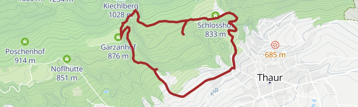
Featured route
Romediuskirchl - Runde
A 6.6 km round on forest and meadow paths into the village of Thaur, with a steep pull at the end up to the Romediuskirchl.
Planning a trip to Thaur?
Everything else Tyrol has, in one place


Take Thaur with you into the mountains
Every route on this page with 3D terrain, GPX navigation and offline maps — including the valleys with no signal.
Data sources
- Official website: hall-wattens.at ↗
- Routes and highlights: Region Hall-Wattens, Innsbruck Tourismus, Region Seefeld, Alpbachtal Tourismus
- Published as open data by the tourist boards named above.
- Region summary generated from the board's own material.
