
 Historic site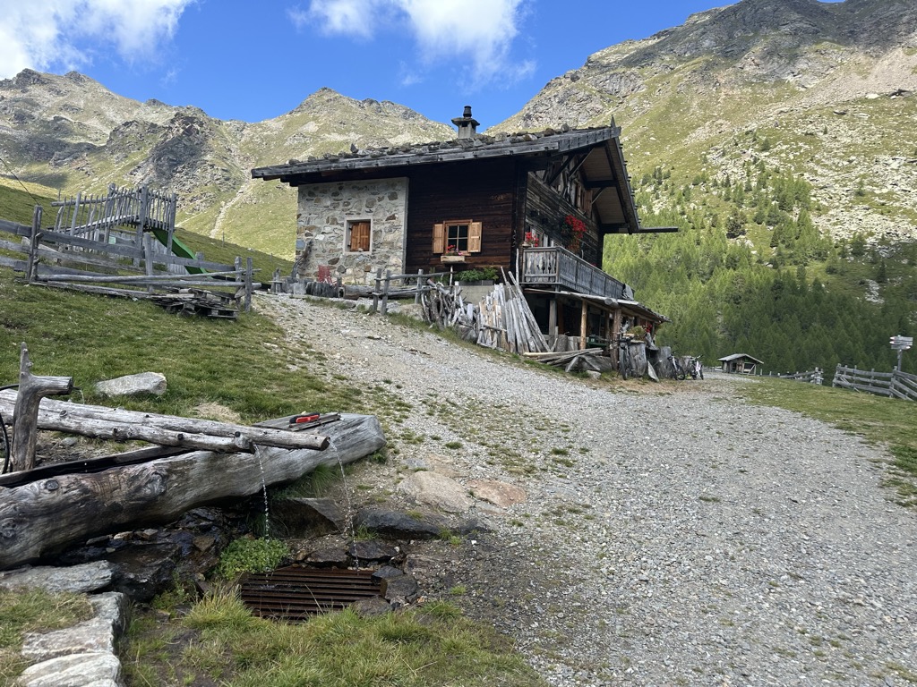








Curated by Partschins - Rabland - Töll
Tesimo/Tisens
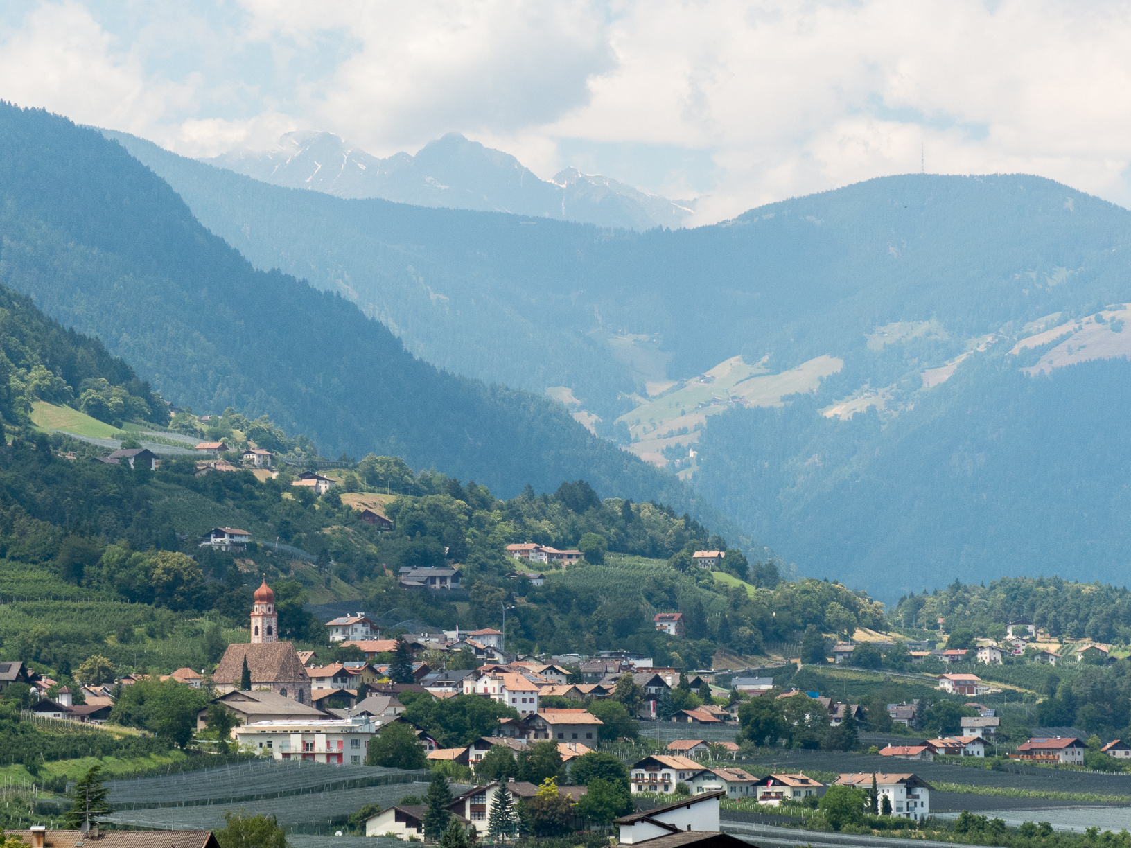
Comune on the terrace above Merano holding the Versoaln, the oldest and largest vine in Europe, and three castles.
- 12Highlights
- 38Routes
- Featured summit · Laugen
Highlights
All 12 from neighbouring places
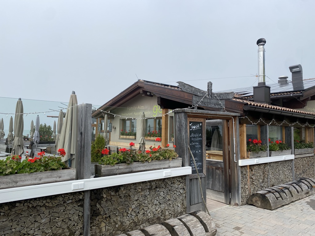
Family-Alm Gampl
10 km away, in Lana/Lana
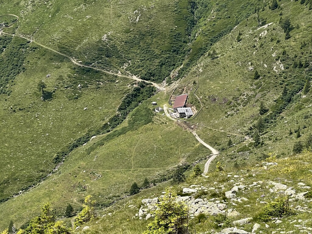
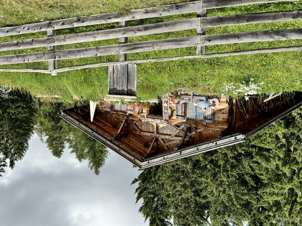
A dairy hut on the wooded slopes above Lana, west of Merano at the mouth of the Val d'Ultimo.
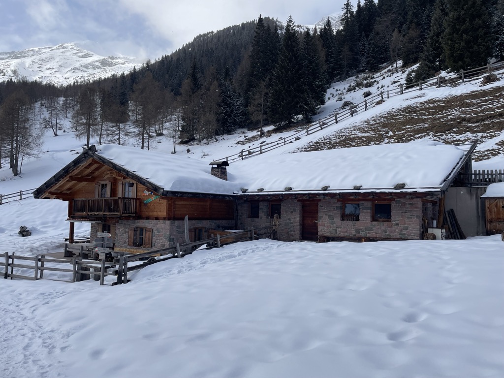
Malga "Untere Kessel Alm"
11.4 km away, in Proves/Proveis
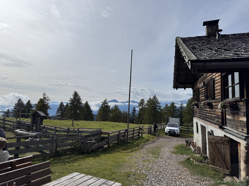
A dairy hut on the pastures above Proves, in the German-speaking upper Val di Non.
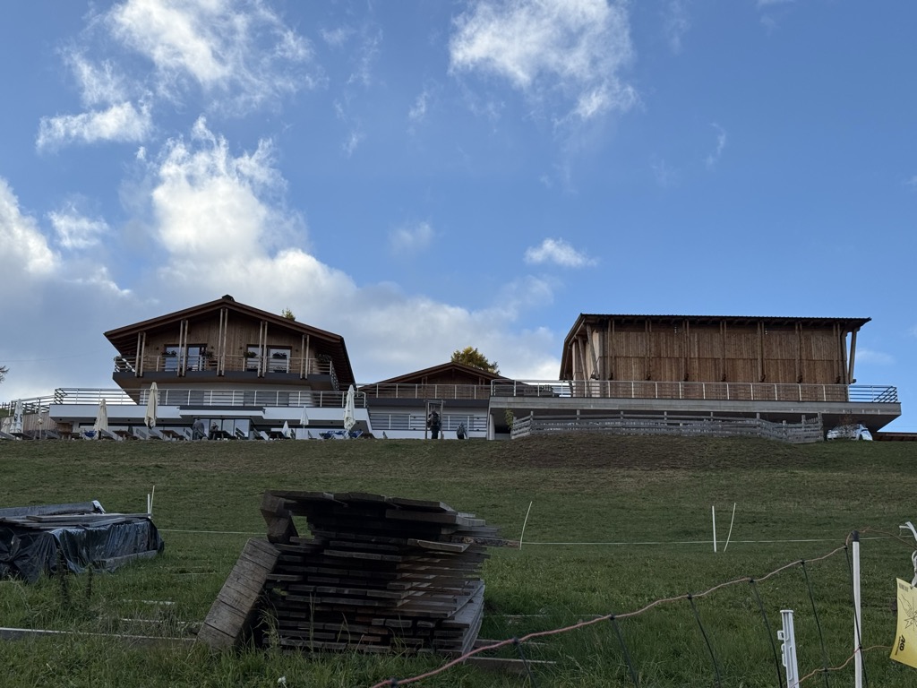
Sterzing, Pfitsch und FreienfeldBerggasthof Lanzenschusterhof
11.8 km away, in San Genesio Atesino/Jenesien
A mountain inn on the Tschögglberg above San Genesio, on the plateau that looks across to the Dolomites from north of Bolzano.
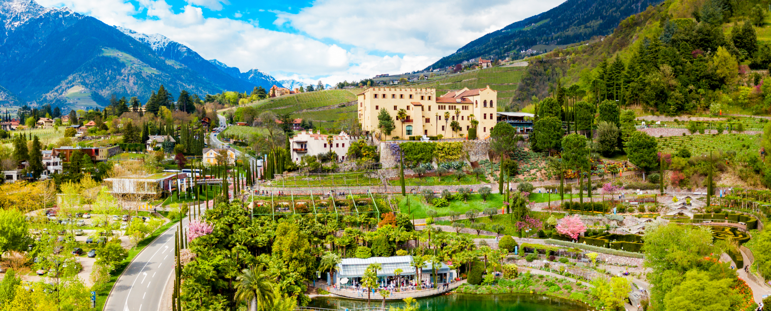
Giardini di Castel Trauttmansdorff
12.1 km away, in Merano/Meran
Terraced botanic gardens around a castle above Merano, planted in zones from Mediterranean to Alpine.
Malga Innerfalkomai
12.3 km away, in Ultimo/Ulten
A dairy hut on the Falkomai pastures of the Ultental, high on the shady side of the valley in the comune of Ultimo.
Sterzing, Pfitsch und FreienfeldMalga Wurzer Alm
12.5 km away, in Avelengo/Hafling
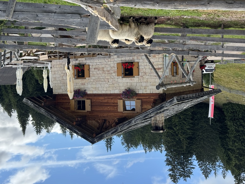
A working dairy on the Wurzer pastures above Avelengo, on the slopes below the Ifinger, serving what it makes.
Malga Wurzer
12.5 km away, in Avelengo/Hafling
A dairy hut on the pastures above Avelengo, on the high shelf between Hafling and the Ifinger.
Terme Merano
12.8 km away, in Merano/Meran
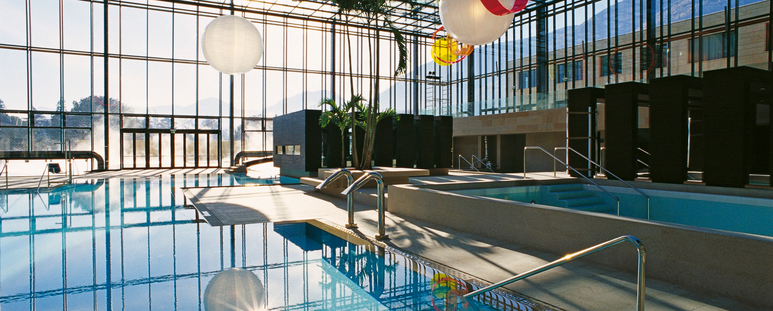
Thermal pools in Merano under a glass cube by Matteo Thun, with a park along the Passirio.
Malga Möltner Kaser
13.5 km away, in Meltina/Mölten
A dairy hut on the Salto plateau above Meltina, on the broad Tschögglberg ridge between the Adige and the Val Sarentino.
Sterzing, Pfitsch und FreienfeldMalga Manzara (Stierberg)
14.1 km away, in Proves/Proveis
A dairy hut on the Stierberg pastures above Proves, between the Val di Non and the Val d'Ultimo.
Sterzing, Pfitsch und FreienfeldMalga Moschwaldalm
14.5 km away, in Avelengo/Hafling
A dairy hut on the Moschwald pastures above Avelengo, in the woods below the Merano 2000 plateau.
Sterzing, Pfitsch und FreienfeldChiesa S. Giovanni Battista a Pianizza di Sopra
14.8 km away, in Caldaro sulla strada del vino/Kaltern an der Weinstraße
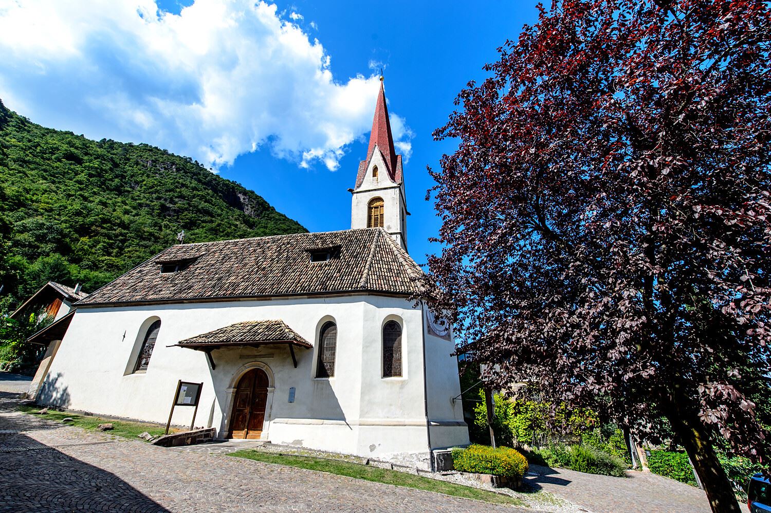
The church of San Giovanni Battista at Pianizza di Sopra above Caldaro.
Nothing of this kind in Tesimo/Tisens.
Routes
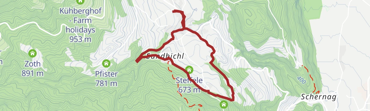
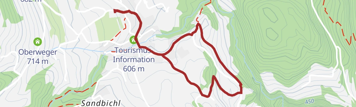
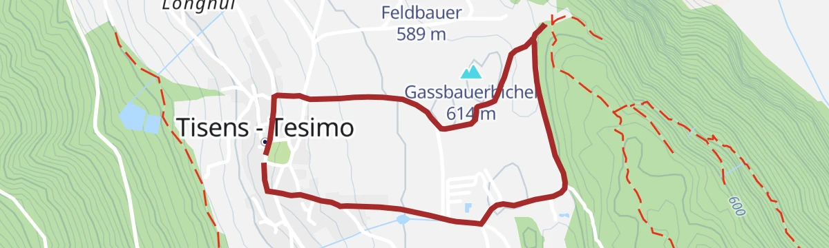
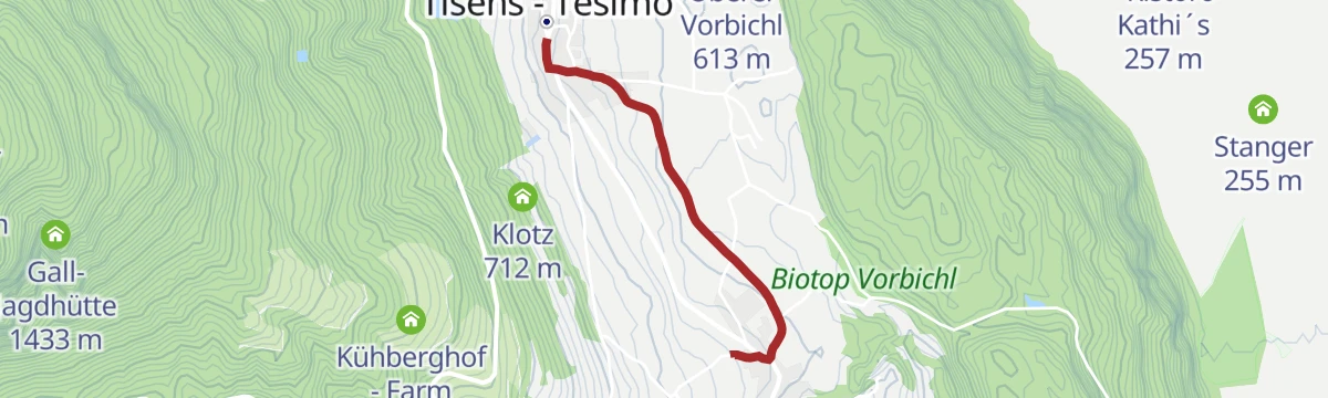
Passeggiata invernale da Prissiano a Tesimo e indietro
An easy winter walk between Prissiano and Tesimo, suitable for pushchairs and lit along part of its length.
- 3.5 km
- Distance
- 87 m
- Ascent
- 1 h 2 min
- Duration
- 10
- Check-ins
 Tourismus-Information 606 m
- Tirolerhof 690 m
- Waldruhe 682 m
 Poltn Tschett 657 m
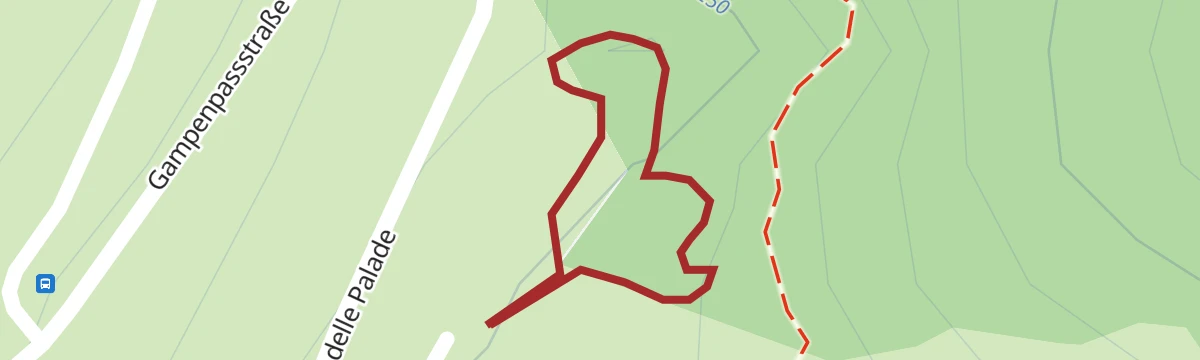
Open route Partschins - Rabland - TöllCrossing 133 Aldo Bonacossa, stage 1: Passo Palade - Malga Castrin
The opening stage of the Bonacossa route, climbing quickly past Lake Luco under Monte Luco, then across the Monte Sous meadows to Malga Castrin.
- 8.2 km
- Distance
- 761 m
- Ascent
- 4 h 11 min
- Duration
- 40
- Check-ins
 Gampenpass - Passo delle Palade 1 518 m
- Gampenpass - Passo Palade 1 523 m
- Laugensee - Lago del Monte Luco 2 182 m
- Malga Castrin - Aler Alm 1 814 m
- Bait dal Batista 2 100 m
Open route APT Val di NonLoop trail with hike up to Mount Luco in the Maddalena Group
A loop to Monte Luco at 2,433 m, eastern peak of the Maddalene chain a little west of the Palade pass, with a very steep start on the "diretta".
- 9.0 km
- Distance
- 912 m
- Ascent
- 5 h 35 min
- Duration
- 71
- Check-ins
 Laugen 2 434 m
- Gampenpass - Passo delle Palade 1 518 m
- Gampenpass - Passo Palade 1 523 m
- Laugenalm - Malga del Monte Luco 1 853 m
- Laugensee - Lago del Monte Luco 2 182 m
Open route APT Val di NonSull’ „Oberer Wiesenweg“ da Tesimo a Prissiano
A short easy link between Tesimo and Prissiano on the upper meadow path, along the mid-mountain terrace.
- 1.7 km
- Distance
- 45 m
- Ascent
- 32 min
- Duration
- 10
- Check-ins
- Tourismus-Information 606 m
- Tirolerhof 690 m
- Waldruhe 682 m
- Poltn Tschett 657 m
Open route Partschins - Rabland - TöllPercorso circolare Tschengg e Larchweg
A loop on the Tschengg and Larch paths across the mid-mountain terrace of Tesimo, easy going with wide views.
- 9.2 km
- Distance
- 380 m
- Ascent
- 3 h 6 min
- Duration
- 28
- Check-ins
- Hölzl 707 m
- Pallmann 718 m
- Tschengghof 872 m
- Gasthaus Tschengg 860 m
- Tirolerhof 690 m
- Waldruhe 682 m
- +5
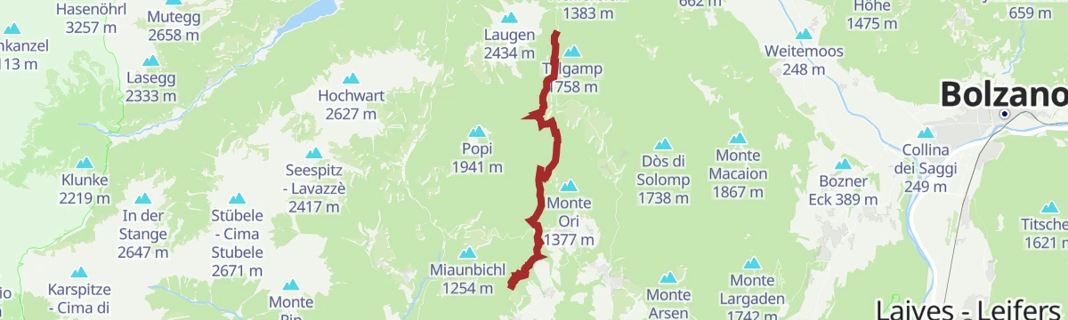
Open route Partschins - Rabland - TöllDal Passo Palade (1518m) al Monte Luco (2433m)
A climb from the Passo Palade at 1,518 m to Monte Luco at 2,433 m, needing steady legs and sure footing.
- 10.6 km
- Distance
- 912 m
- Ascent
- 5 h 47 min
- Duration
- 62
- Check-ins
- Laugen 2 434 m
- Gampenpass - Passo delle Palade 1 518 m
- Gampenpass - Passo Palade 1 523 m
- Laugenalm - Malga del Monte Luco 1 853 m
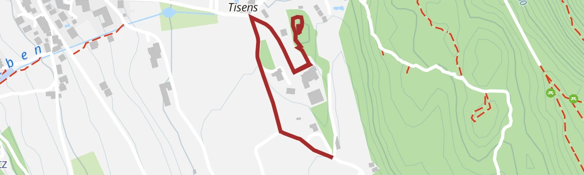
Open route Partschins - Rabland - TöllSentiero panoramico circolare in inverno
The short panoramic loop above Tesimo walked in winter, when parts of the path may be iced; sound footwear needed.
- 2.5 km
- Distance
- 62 m
- Ascent
- 44 min
- Duration
- 9
- Check-ins
- Pallmann 718 m
- Trinkwasserspeicher Tisens 731 m
- Beregnungsspeicher Tisens 721 m
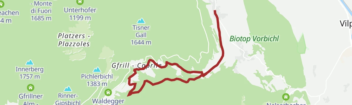
Open route Partschins - Rabland - TöllPercorso circolare „Tisner Gall“
A circuit by way of Caprile and around the Tisner Gall, a rise of 1,630 m on the terrace above Tesimo.
- 14.7 km
- Distance
- 756 m
- Ascent
- 5 h 29 min
- Duration
- 21
- Check-ins
- Jausenstation Waldheim 1 038 m
- Kehrer 1 009 m
- Tirolerhof 690 m
- Waldruhe 682 m
- Waldbichl 1 280 m
- Spatzenhüttl 1 283 m
- +6
Open route Partschins - Rabland - TöllPasso Palade - Malga Kessel
A long climb from the Passo Palade to Malga Kessel, on the Maddalene ridge between Tesimo and the Val di Non.
- 12.3 km
- Distance
- 919 m
- Ascent
- 5 h 17 min
- Duration
- 62
- Check-ins
- Gampenpass - Passo delle Palade 1 518 m
- Obere Kessel Alm 1 917 m
- Gampenpass - Passo Palade 1 523 m
- Laugenalm - Malga del Monte Luco 1 853 m
- Obere Alm - Malghetto di Cloz 1 892 m
- Passo Castrin - Hofmahdjoch 1 785 m
- +2
Open route APT Val di NonDa Tesimo alla Chiesa di Sant'Ippolito a Narano
A walk to the hill of Sant'Ippolito at 758 m, a prehistoric settlement site with a Romanesque church, from which some twenty villages and forty castles can be counted.
- 6.2 km
- Distance
- 168 m
- Ascent
- 1 h 52 min
- Duration
- 7
- Check-ins
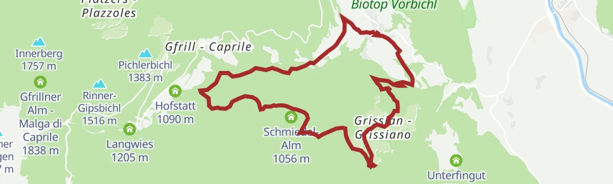
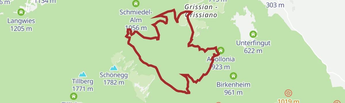
Open route Partschins - Rabland - TöllEscursione circolare da Nalles a Prissiano passando per Sirmiano e Grissiano
A demanding circuit from Nalles by Sirmiano and Grissiano to Prissiano, through the orchards and vineyards of the Adige slope.
- 13.5 km
- Distance
- 786 m
- Ascent
- 5 h 29 min
- Duration
- 18
- Check-ins
- Touristinfo 303 m
- Tourismus-Information 606 m
- Apollonia 923 m
- Stuber 871 m
- Tischlerei Piazzi 836 m
- Schmiedl 830 m
- +3
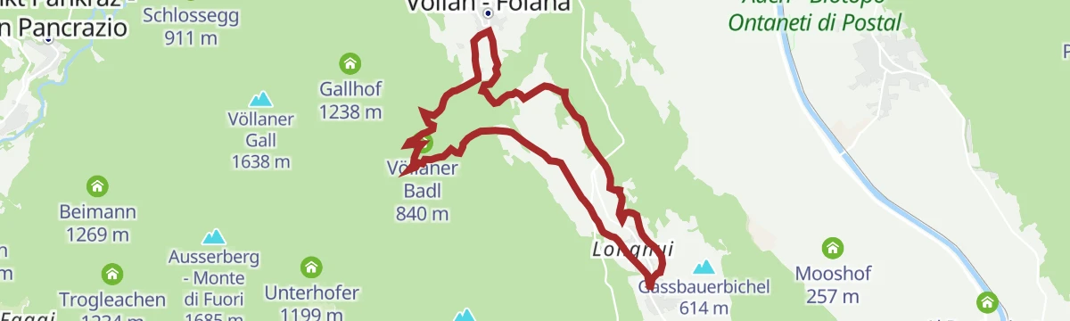
Open route Partschins - Rabland - TöllFoiana - Bagni di Foiana - Plazzoles - Monte Luco
A long climb from Foiana by the old baths and Plazzoles to Monte Luco, whose double summit is reached by the gentle south ridge.
- 13.7 km
- Distance
- 1 777 m
- Ascent
- 7 h 14 min
- Duration
- 46
- Check-ins
- Laugen 2 434 m
- Innerberg 1 757 m
- Laugensee - Lago del Monte Luco 2 182 m
- Gfrillner Alm - Malga di Caprile 1 838 m
- Völlaner Badl 840 m
- Obertalmuehle 663 m
- +7
Open route Partschins - Rabland - TöllSul sentiero del torrente fino al Castello Wehrburg a Prissiano
An easy walk up the stream valley at Prissiano to Wehrburg castle on its knoll.
- 4.1 km
- Distance
- 112 m
- Ascent
- 1 h 14 min
- Duration
- 7
- Check-ins
Open route Partschins - Rabland - TöllPercorso circolare Mühlenweg e Grissiano
A varied circuit along the old mill path from Tesimo out to the hamlet of Grissiano.
- 13.5 km
- Distance
- 576 m
- Ascent
- 4 h 36 min
- Duration
- 16
- Check-ins
- Tourismus-Information 606 m
- Tirolerhof 690 m
- Pfister 781 m
- Haus Heidi 715 m
- Stuber 871 m
- Tischlerei Piazzi 836 m
- +6
Open route Partschins - Rabland - TöllHike Gampenpass - Maso Plaz
A long, gently descending route from the Deutschnonsberg over into the Val di Non, along the old language border, looking across to Tret, Fondo and St Felix.
- 15.5 km
- Distance
- 183 m
- Ascent
- 4 h 35 min
- Duration
- 27
- Check-ins
- Gampenpass - Passo delle Palade 1 518 m
- Gampenpass - Passo Palade 1 523 m
- Zollhütte 1 431 m
- Trattoria Arnica 1 246 m
- Maso Plaz 982 m
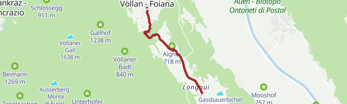
Open route Maso PlazFoiana - Talmühle - Narano - Tesimo
An easy walk from the farm museum at Foiana on path 8, over a seventeenth-century bridge by the Talmühle and past the Narano pond towards Tesimo.
- 4.0 km
- Distance
- 73 m
- Ascent
- 1 h 10 min
- Duration
- 6
- Check-ins
Open route Partschins - Rabland - TöllPercorso circolare a Nalles e Sirmiano di Sotto
A moderately hard loop from Tesimo by way of Nalles to Sirmiano di Sotto, on the porphyry slopes above the Adige.
- 10.4 km
- Distance
- 566 m
- Ascent
- 4 h 3 min
- Duration
- 14
- Check-ins
- Touristinfo 303 m
- Tourismus-Information 606 m
- Haus Heidi 715 m
- Saxillhof 681 m
- Unterfingut 622 m
- Gasthof Casatsch Pfeffersburg 448 m
- +4
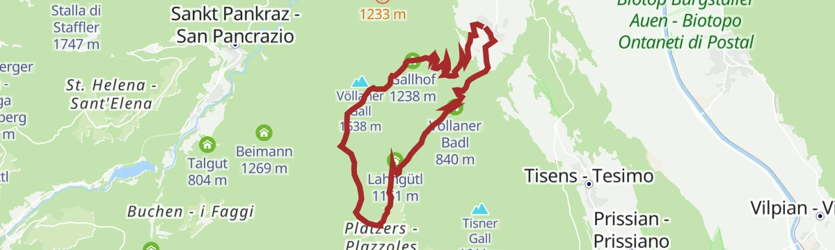
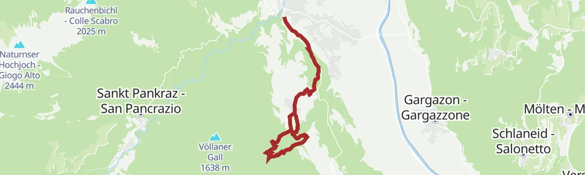
Open route Partschins - Rabland - TöllFoiana - Gruberhof - Gallhof - Giogo di Foiana - Plazzoles
A demanding route from the church at Foiana past the old Nagelehof and the Gruberhof up to the Giogo di Foiana and down to Plazzoles.
- 13.6 km
- Distance
- 950 m
- Ascent
- 6 h 20 min
- Duration
- 4
- Check-ins
- Völlaner Badl 840 m
- Gallhof 1 238 m
- Obertalmuehle 663 m
- Völlaner Joch - Giogo di Foiana 1 635 m
- Lahngütl 1 151 m
- Oberhofer 1 197 m
- +3
Open route Partschins - Rabland - TöllCastel Katzenzungen con la sua vite Versoaln e Sentiero Rosso
A short loop on the red waymarked path to Castel Katzenzungen and its ancient Versoaln vine, on the slope above Prissiano.
- 3.6 km
- Distance
- 134 m
- Ascent
- 1 h 10 min
- Duration
- 5
- Check-ins
Open route Partschins - Rabland - TöllPercorso circolare fino a Foiana
A varied loop from Tesimo over to Foiana, where the farming museum is worth the stop.
- 10.9 km
- Distance
- 410 m
- Ascent
- 3 h 34 min
- Duration
- 14
- Check-ins
Open route Partschins - Rabland - TöllIl sentiero circolare dei castelli in inverno
The castle loop above Prissiano in winter, with views to its towers; iced in places and not for pushchairs.
- 2.5 km
- Distance
- 68 m
- Ascent
- 46 min
- Duration
- 5
- Check-ins
Open route Partschins - Rabland - TöllPercorso circolare fino a Grissiano e Sirmiano
A loop through the hamlets of Grissiano and Sirmiano di Sopra, with their Romanesque churches and open viewpoints.
- 11.1 km
- Distance
- 547 m
- Ascent
- 4 h 2 min
- Duration
- 13
- Check-ins
- Tourismus-Information 606 m
- Apollonia 923 m
- Haus Heidi 715 m
- Saxillhof 681 m
- Stuber 871 m
- Tischlerei Piazzi 836 m
- +6
Open route Partschins - Rabland - TöllNUOVO Percorso Internazionale del Feltro Artistico
A short themed loop at Tesimo on felt-making and sheep farming, first laid out in 2003 by Hildegard and Josef Winkler.
- 1.8 km
- Distance
- 24 m
- Ascent
- 28 min
- Duration
- 1
- Check-ins
Open route Partschins - Rabland - TöllPercorso circolare „Mühlenweg“ (sentiero dei mulini) fino a Caprile
A moderately hard but rewarding loop on the old mill path from Tesimo up to Caprile.
- 9.7 km
- Distance
- 419 m
- Ascent
- 3 h 19 min
- Duration
- 13
- Check-ins
Open route Partschins - Rabland - TöllSentiero circolare da Tesimo alla Chiesa San Cristoforo in inverno
A winter circuit from Tesimo through orchards and woods to the church of San Cristoforo, mostly cleared and largely pushchair-friendly.
- 2.6 km
- Distance
- 34 m
- Ascent
- 42 min
- Duration
- 1
- Check-ins
Open route Partschins - Rabland - TöllEscursione invernale alla Chiesa di San Giacomo a Grissiano
A winter walk to the church of San Giacomo at Grissiano and its early Romanesque frescoes; the path can be iced in places.
- 7.7 km
- Distance
- 331 m
- Ascent
- 2 h 38 min
- Duration
- 10
- Check-ins
- Tourismus-Information 606 m
- Haus Heidi 715 m
- Saxillhof 681 m
- Stuber 871 m
- Tischlerei Piazzi 836 m
- Schmiedl 830 m
- +2
Open route Partschins - Rabland - TöllMondo delle Api al Maso Rainguthof
A very short themed path around the animals of the Rainguthof farm at Caprile, with the bees as its subject.
- 269 m
- Distance
- 21 m
- Ascent
- 8 min
- Duration
Open route Partschins - Rabland - TöllDa Nalles al castello Katzenzungen
A climb from Nalles to Katzenzungen castle, which shelters the Versoaln vine, reckoned the oldest and largest anywhere.
- 6.6 km
- Distance
- 373 m
- Ascent
- 2 h 37 min
- Duration
- 6
- Check-ins
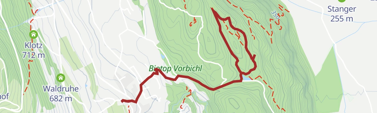
Open route Partschins - Rabland - TöllPercorso avventura - natura "Vorbichl"
A nature trail on the Vorbichl hill at Prissiano, where wet ground and dry warm porphyry alternate between pine, coppice, ponds and reed beds.
- 4.2 km
- Distance
- 128 m
- Ascent
- 1 h 18 min
- Duration
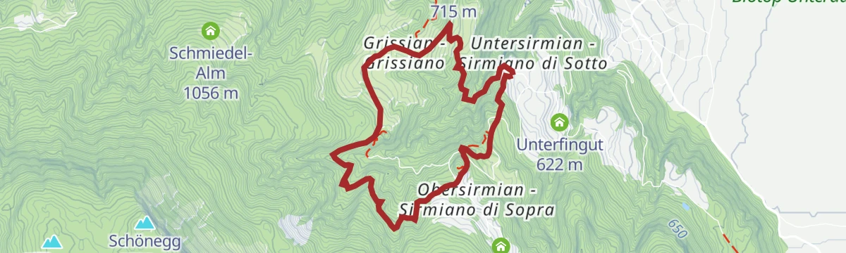
Open route Partschins - Rabland - TöllEscursione circolare da Sirmiano di Sotto, Grissiano, Sirmiano di Sopra, Sirmiano di Sotto
A loop from the fire station car park at Sirmiano di Sotto through Grissiano and Sirmiano di Sopra, needing a sure foot.
- 6.6 km
- Distance
- 359 m
- Ascent
- 2 h 33 min
- Duration
- 6
- Check-ins
- Apollonia 923 m
- Stuber 871 m
- Tischlerei Piazzi 836 m
- Schmiedl 830 m
- Thalerhof 755 m
- Schmiedlhof 831 m
- +1
Open route Partschins - Rabland - TöllSull’ “Unterer Wiesenweg” da Prissiano a Tesimo
An almost flat paved link from Prissiano to Tesimo on the lower meadow path, lit at night and fine with a pushchair.
- 1.6 km
- Distance
- 32 m
- Ascent
- 27 min
- Duration
Open route Partschins - Rabland - TöllDalla Perlkraling alla malga “Gfrillner Laugenalm”
A climb from the Perlkraling to the Gfrillner Laugenalm, a quiet dairy on the Laugen slopes above Tesimo.
- 6.2 km
- Distance
- 440 m
- Ascent
- 2 h 55 min
- Duration
- 5
- Check-ins
Open route Partschins - Rabland - TöllDa Sirmiano di Sopra a Grissiano
A route from the car park at Sirmiano di Sopra across the slope to Grissiano, above the Adige valley near Nalles.
- 10.0 km
- Distance
- 546 m
- Ascent
- 3 h 53 min
- Duration
- 4
- Check-ins
Open route Partschins - Rabland - TöllDa Lana passando per Foiana fino a S. Ippolito
A route from Lana on the Brandis channel path to Foiana, past Santa Margherita, the farm museum and the old baths, up to the church on Sant'Ippolito.
- 9.5 km
- Distance
- 607 m
- Ascent
- 3 h 27 min
- Duration
- 3
- Check-ins
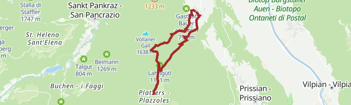
Open route Partschins - Rabland - TöllFoiana - Gruberhof - Plazzoles
A hike for experienced walkers from the church at Foiana past the Nagelehof and Gruberhof to the hamlet of Plazzoles.
- 11.8 km
- Distance
- 690 m
- Ascent
- 4 h 50 min
- Duration
- 3
- Check-ins
- Völlaner Badl 840 m
- Obertalmuehle 663 m
- Lahngütl 1 151 m
- Oberhofer 1 197 m
- Oberhauser 1 147 m
- Unterhauser 1 148 m
- +1
Open route Partschins - Rabland - TöllDa Lana attraverso Foiana a Tesimo
A walk from Lana by way of Foiana to Tesimo, passing convents and country churches and the quiet pond at Narano.
- 8.5 km
- Distance
- 446 m
- Ascent
- 2 h 48 min
- Duration
- 2
- Check-ins
Open route Partschins - Rabland - TöllDa Plazzoles ai masi Gall e ritorno
An out-and-back from the hamlet of Plazzoles to the Gall farmsteads, on the terrace above the Adige valley.
- 10.5 km
- Distance
- 562 m
- Ascent
- 4 h 2 min
- Duration
- 1
- Check-ins
- Gallhof 1 238 m
- Völlaner Joch - Giogo di Foiana 1 635 m
- Lahngütl 1 151 m
- Oberhofer 1 197 m
- Unterhofer 1 199 m
Open route Partschins - Rabland - TöllDa Lana di Sopra per il Sentiero della Roggia di Brandis e la via crucis a Tesimo
A route from upper Lana along the Brandis channel path and up the stations of the cross to Tesimo.
- 6.9 km
- Distance
- 360 m
- Ascent
- 2 h 13 min
- Duration
Open route Partschins - Rabland - Töll
No routes of this kind in Tesimo/Tisens yet.
The region's own picks

Featured route
Passeggiata invernale da Prissiano a Tesimo e indietro
An easy winter walk between Prissiano and Tesimo, suitable for pushchairs and lit along part of its length.
Planning a trip to Tesimo/Tisens?
Everything else Trentino-Alto Adige/Südtirol has, in one place


Take Tesimo/Tisens with you into the mountains
Every route on this page with 3D terrain, GPX navigation and offline maps — including the valleys with no signal.
Data sources
- Official website: suedtirol.info ↗
- Routes and highlights: Partschins - Rabland - Töll, Sterzing, Pfitsch und Freienfeld, APT Val di Non, Italia.it, YesAlps, Kaltern an der Weinstraße, Maso Plaz
- Published as open data by the tourist boards named above.
- Region summary generated from the board's own material.
