
 Viewpoint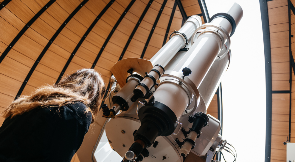
 Historic site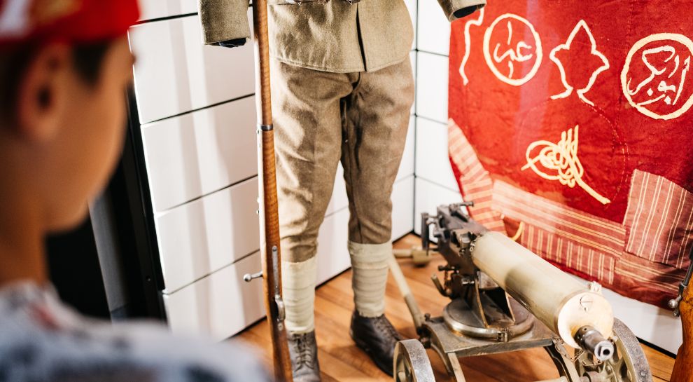
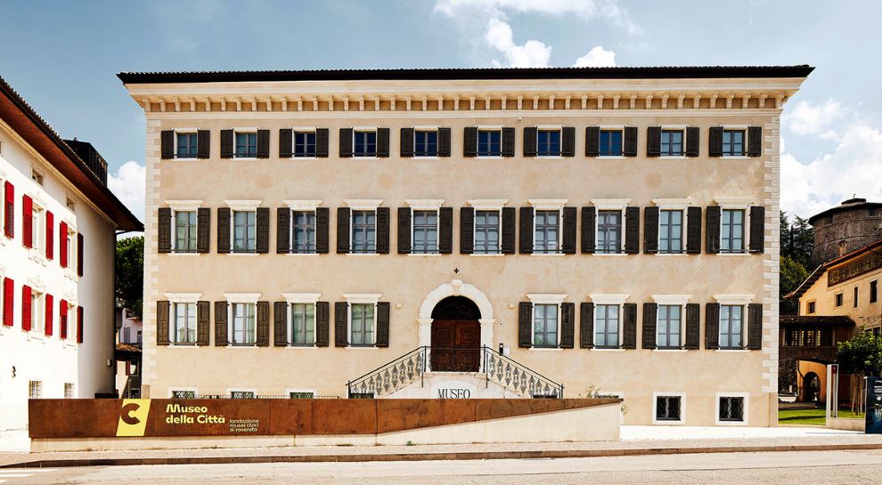
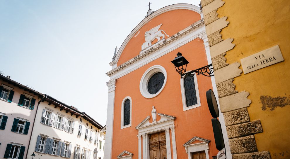










Curated by Azienda per il Turismo Alpe Cimbra
Terragnolo
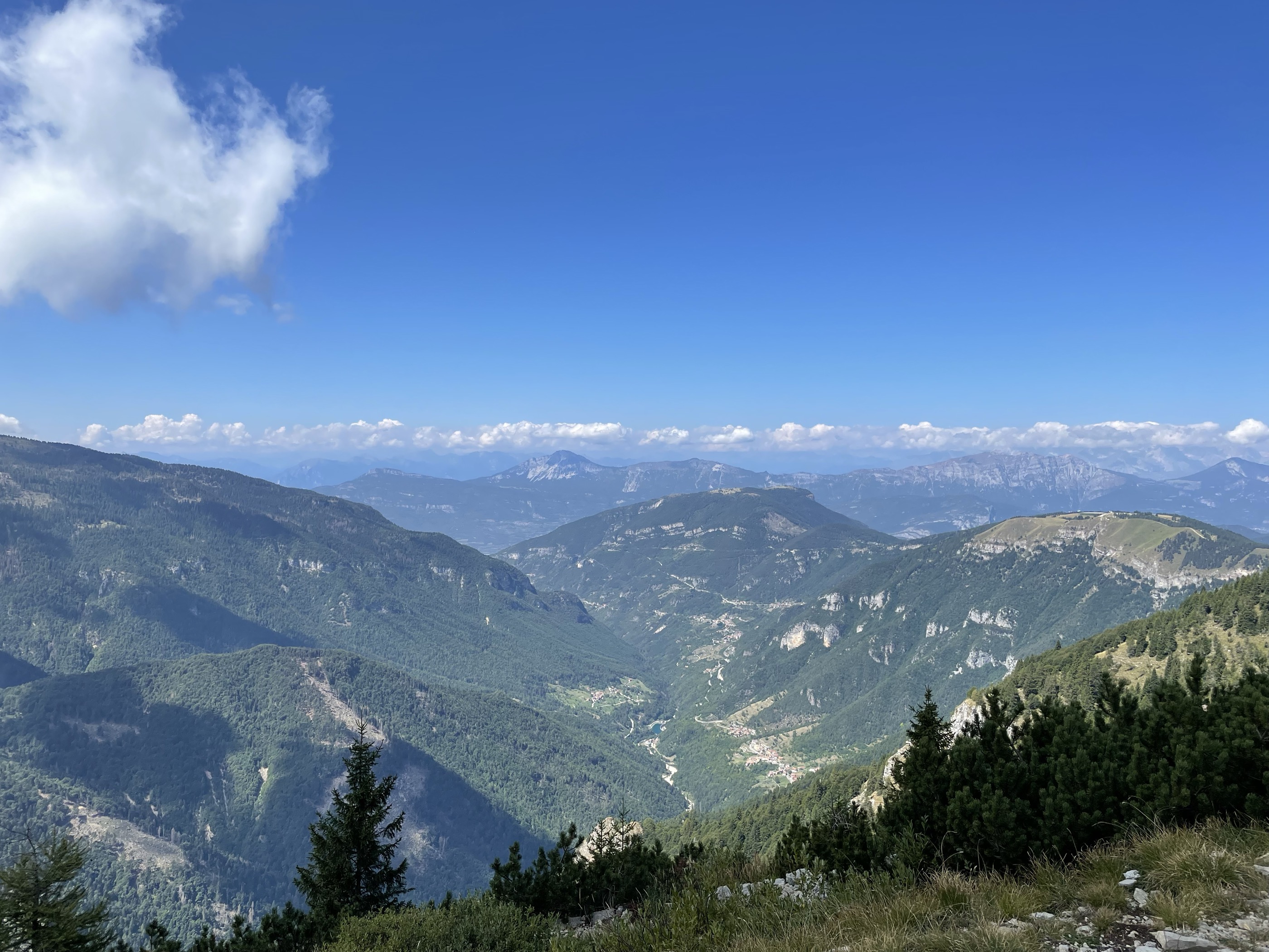
Scattered comune in the Terragnolo valley below Pasubio, where the Forra del Lupo trenches follow the old Austrian front line.
- 3Highlights
- 30Routes
- Featured summit · Monte Maggio
Highlights
12 from neighbouring places
Forra del Lupo
A restored Austrian trench line cut along a gorge wall above Terragnolo, walkable end to end.
Malga Borcola
A dairy hut at the Borcola pass above Terragnolo, on the old Tyrolean frontier.
Malga Zocchi
5.6 km away, in Trambileno
A dairy pasture on the Pasubio massif above Trambileno, near Rovereto.
Trambileno, zwischen Fort und Wallfahrtskirche
8.1 km away, in Trambileno
The war sites and pilgrimage churches of Trambileno, on the First World War lines above Rovereto.
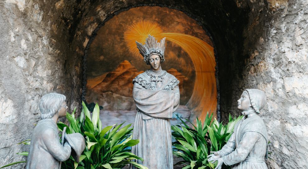
Santuario Madonna de La Salette
8.2 km away, in Trambileno
A pilgrimage church at Trambileno dedicated to Our Lady of La Salette, founded on donations from returning emigrants.
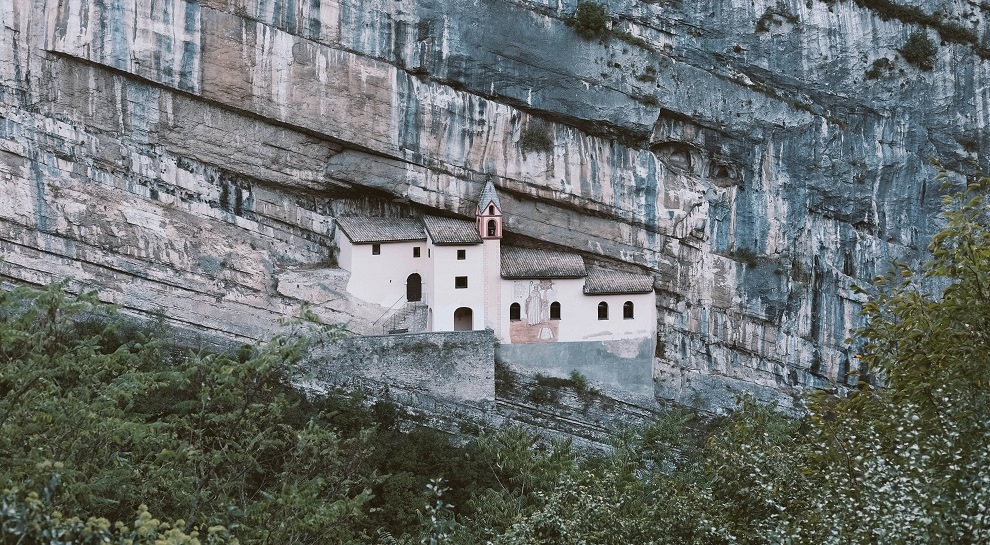
Eremo di San Colombano
9.3 km away, in Trambileno
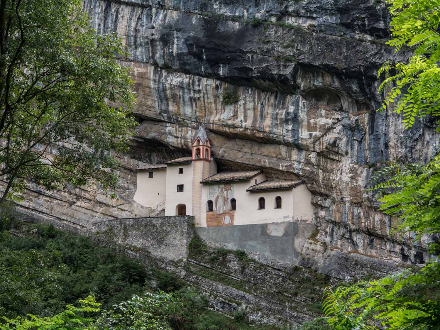
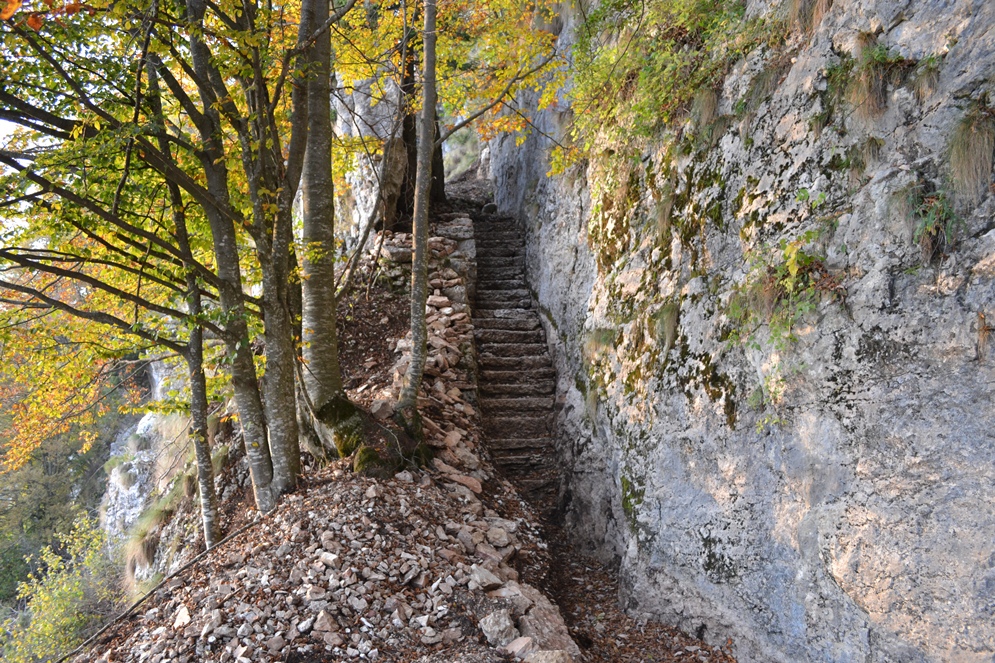
A hermitage set against the rock above Trambileno, reached by 102 steps from the Leno gorge.
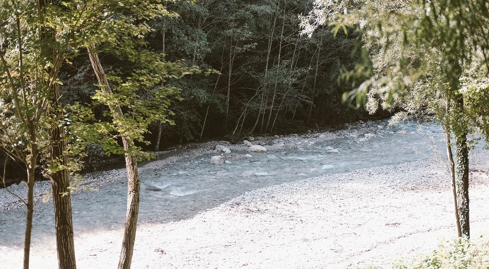
Die Leno Bergseen
9.8 km away, in Rovereto
Pools in the Leno gorge above Rovereto, reached by a path along the stream.
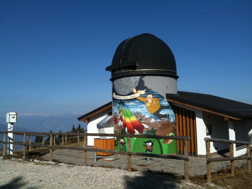
Sternwarte
10.6 km away, in Rovereto
An observatory on the ridge south of Rovereto, open for public evenings.
Osservatorio astronomico
10.6 km away, in Rovereto
An astronomical observatory on the ridge above Rovereto, run as part of the town's civic museum foundation.
Die Burg von Rovereto
10.6 km away, in Rovereto
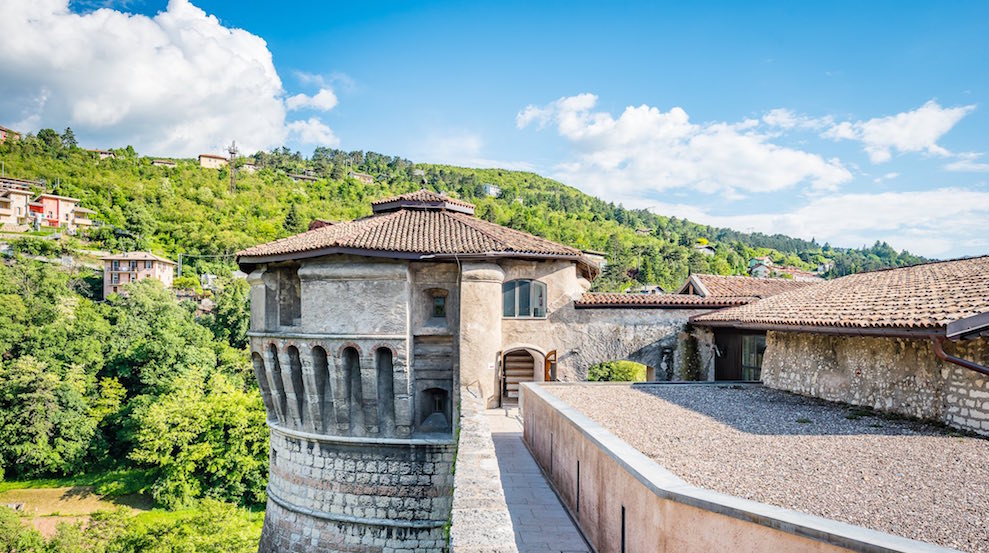
Rovereto's Venetian castle, now the Italian war museum, standing above the old town.
MITAG Italienisches Kriegsmuseum
10.8 km away, in Rovereto
The Italian war museum in Rovereto's castle, covering the mountain front of 1915-18.
Casa d’Arte Futurista Depero
10.9 km away, in Rovereto
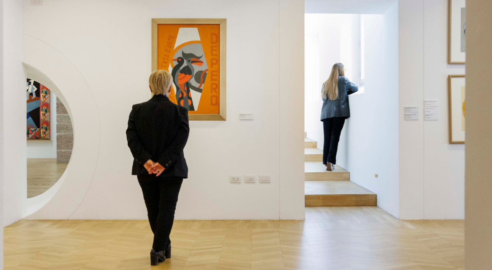
The house and museum of Fortunato Depero in Rovereto, holding the Futurist painter's work in rooms he laid out himself.
Die Kirche von San Marco
10.9 km away, in Rovereto
The church of San Marco in Rovereto, where Mozart played the organ as a boy in 1769.
Nothing of this kind in Terragnolo.
Routes
27 - Monte Maggio
An easy climb on the Alpe Cimbra, with the Val di Terragnolo below and Pasubio filling the skyline, and inns near the summit.
- 7.0 km
- Distance
- 248 m
- Ascent
- 2 h 14 min
- Duration
- 29
- Check-ins
 eghel pause 1 609 m
- Ski-Bar Schneider 1 614 m
- Osteria Coe 1 613 m
- La Stua 1 608 m
- EGHEL PAUSE 1 611 m
Open route Azienda per il Turismo Alpe CimbraSAT / E136 - Serrada - Forte Dosso delle Somme - Passo Coe
A steady climb out of the village square, first on a steep lane past Schirni, then on a mule track through woods to the old military road.
- 6.0 km
- Distance
- 454 m
- Ascent
- 2 h 18 min
- Duration
- 41
- Check-ins
Open route Azienda per il Turismo Alpe CimbraSentiero della Pace 21: Rifugio Vincenzo Lancia to Passo Coe
A peace trail stage from the Lancia hut by the Sella delle Pozze into the Zuccaria valley, joining the E5 towards the Borcola pass.
- 17.9 km
- Distance
- 1 044 m
- Ascent
- 7 h 41 min
- Duration
- 59
- Check-ins
 Monte Maggio 1 852 m
- Coston dei Laghi 1 873 m
- Monte Borcoletta 1 815 m
- Rifugio Lancia 1 825 m
 Sella delle Pozze 1 903 m
- Malga Pozze 1 828 m
- +2
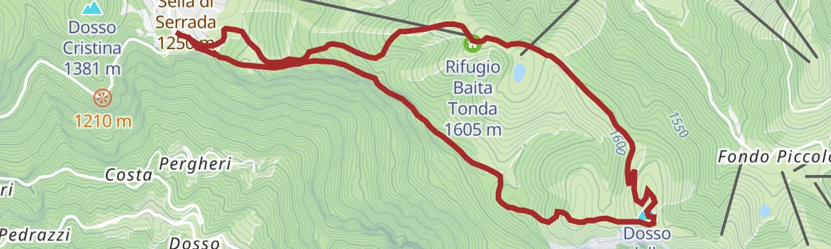
Open route APT Rovereto Vallagarina Monte Baldo848 - Martinella Descent
A descent from Martinella and the Rifugio Baita Tonda down to Serrada, with the Pasubio, the Brenta Dolomites and the Adamello in view.
- 9.1 km
- Distance
- 374 m
- Ascent
- 1 h 10 min
- Duration
- 16
- Check-ins
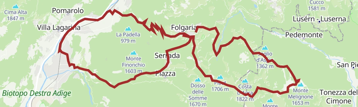
Open route Azienda per il Turismo Alpe Cimbra842 - 100 Km dei Forti - Folgaria
The Folgaria ring of the 100 Km dei Forti circuit, over the Coe and Sommo passes by Forte Cherle.
- 52.7 km
- Distance
- 1 687 m
- Ascent
- 6 h 16 min
- Duration
- 86
- Check-ins
- Dosso delle Somme 1 670 m
- Monte Rust 1 282 m
- Passo Coe 1 610 m
- Passo Sommo 1 341 m
- Hotel Forte Cherle 1 417 m
- Chalet Passo Sommo 1 348 m
- +6
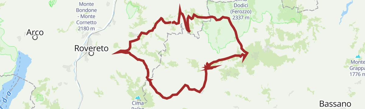
Open route Azienda per il Turismo Alpe CimbraFolgaria - Arsiero - Posina - Xomo Pass - Pian delle Fugazze Pass - Vallarsa - Noriglio - Terragnolo - Serrada
A very long road circuit from Folgaria over the Sommo, Xomo and Pian delle Fugazze passes, back by Terragnolo.
- 105.2 km
- Distance
- 3 492 m
- Ascent
- 12 h 37 min
- Duration
- 183
- Check-ins
- Pian delle Fugazze 1 163 m
- Albergo al Passo 1 170 m
- Miramonti 1 160 m
- MB Ristoro "Magna & bevi" 1 182 m
- Rifugio Passo Xomo 1 062 m
- Passo Sommo 1 341 m
- +16
Open route Azienda per il Turismo Alpe Cimbra16 - Tour of Pornal
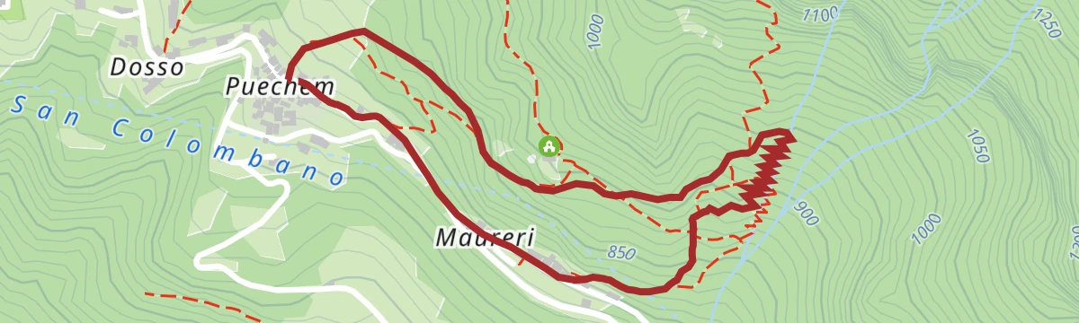
A short walk through coppice woods of pine, hornbeam and beech on limestone, taking in the rural hamlet of Pornal in the Terragnolo valley.
- 2.0 km
- Distance
- 65 m
- Ascent
- 47 min
- Duration
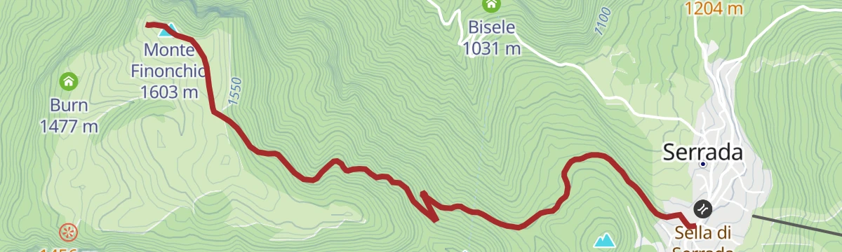
Open route Azienda per il Turismo Alpe CimbraSAT / E104 - Serrada - Monte Finonchio
A steady climb from Serrada up the shaded north flank on an old military road, trail 104, through spruce and larch to the Fratelli Filzi refuge.
- 4.4 km
- Distance
- 339 m
- Ascent
- 1 h 35 min
- Duration
- 38
- Check-ins
- Monte Finonchio 1 603 m
- Rifugio Finonchio Fratelli Filzi 1 603 m
- Sella di Serrada 1 250 m
- Zanna Bianca 1 307 m
Open route Azienda per il Turismo Alpe Cimbra40 - Forts Route
A long day among the Great War forts of the Alpe Cimbra, over Dosso delle Somme, with the deep Terragnolo valley on one side.
- 18.4 km
- Distance
- 648 m
- Ascent
- 5 h 50 min
- Duration
- 35
- Check-ins
Open route Azienda per il Turismo Alpe Cimbra846 - Folgaria Megabike
The former Folgaria Megabike race circuit, a hard round with real climbing across the plateau.
- 40.7 km
- Distance
- 1 296 m
- Ascent
- 4 h 50 min
- Duration
- 43
- Check-ins
- Dosso delle Somme 1 670 m
- Stella d'Italia 1 536 m
- Hangar Bar Lago Coe 1 541 m
- Malga Pioverna alta 1 731 m
- Malga Zonta 1 536 m
Open route Azienda per il Turismo Alpe CimbraDiscovery tour of the Altipiani
A demanding climb from the valley floor through Terragnolo to the Cimbrian highlands, over Passo Sommo and Passo Coe with Malga Coe on top.
- 88.4 km
- Distance
- 2 328 m
- Ascent
- 10 h 2 min
- Duration
- 126
- Check-ins
- Passo Coe 1 610 m
- Passo Sommo 1 341 m
- eghel pause 1 609 m
- Hotel Forte Cherle 1 417 m
- Hangar Bar Lago Coe 1 541 m
- Malga Coe 1 609 m
- +23
Open route APT Rovereto Vallagarina Monte BaldoTo the small church of S. Maria Maddalena
A quiet walk on a paved lane through the hamlets of Terragnolo to the church of Santa Maria Maddalena, feasible with a trekking pushchair.
- 4.9 km
- Distance
- 288 m
- Ascent
- 2 h 1 min
- Duration
Open route APT Rovereto Vallagarina Monte BaldoLa Forra del Lupo – The Wolf Gorge
A climb from Serrada on path SAT 137 to the fort on Dosso delle Somme, running between high rock walls with the Pasubio opposite.
- 7.3 km
- Distance
- 473 m
- Ascent
- 3 h 13 min
- Duration
- 34
- Check-ins
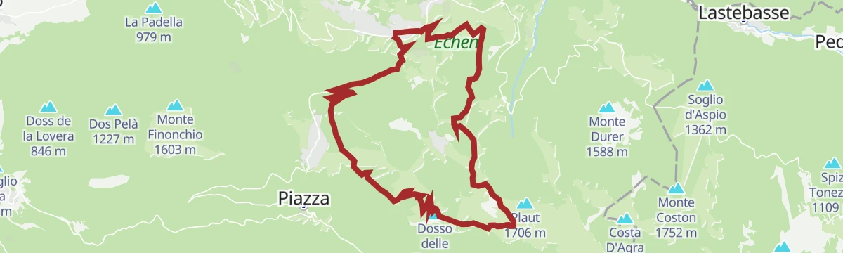
Open route Azienda per il Turismo Alpe Cimbra8 - Circuit of the Forts
A demanding round from the Sella di Serrada past Sommo Alto and over Dosso delle Somme, taking in the old fortifications on the way.
- 17.8 km
- Distance
- 663 m
- Ascent
- 5 h 48 min
- Duration
- 33
- Check-ins
Open route Azienda per il Turismo Alpe Cimbra838 - Tour dei Forti
A long loop among the Great War forts of the Folgaria plateau, taking in the Dosso delle Somme.
- 20.4 km
- Distance
- 571 m
- Ascent
- 2 h 21 min
- Duration
- 35
- Check-ins
Open route Azienda per il Turismo Alpe CimbraFolgaria - Serrada - Terragnolo - Rovereto - Calliano - Passo Coe - Fiorentini
A long circuit from Folgaria down the Terragnolo to the Adige, then the long climb back to the Passo Coe.
- 74.5 km
- Distance
- 2 267 m
- Ascent
- 8 h 44 min
- Duration
- 118
- Check-ins
- Passo Coe 1 610 m
- Passo Sommo 1 341 m
- eghel pause 1 609 m
- Hotel Forte Cherle 1 417 m
- Hangar Bar Lago Coe 1 541 m
- Malga Coe 1 609 m
- +18
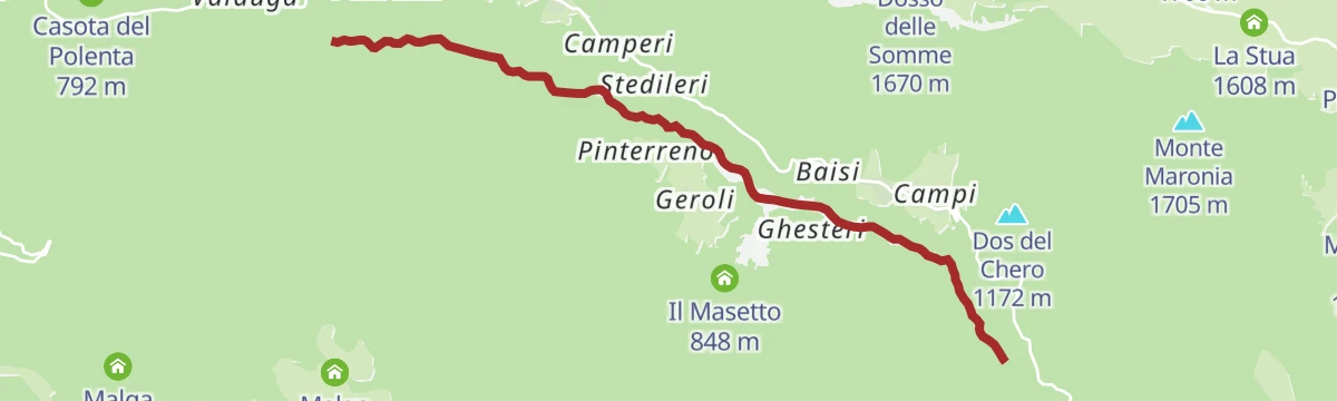
Open route Azienda per il Turismo Alpe CimbraTorrente Leno di Terragnolo E alta
An easy route along the upper Leno di Terragnolo, on the valley floor below the villages.
- 5.6 km
- Distance
- 246 m
- Ascent
- 1 h 42 min
- Duration
 Leno di Terragnolo 666 m
Open route Trentino FishingTrekking to Rifugio Finonchio
A forest-road ascent from Serrada to a refuge opened in 1930, sitting on top of Monte Finonchio high above the Adige valley.
- 8.4 km
- Distance
- 362 m
- Ascent
- 2 h 52 min
- Duration
- 31
- Check-ins
Open route Azienda per il Turismo Alpe CimbraPasubio-Terragnolo | 2911
A link between the Pasubio hut circuit and the Terragnolo valley, on paths cut by soldiers during the First World War.
- 16.5 km
- Distance
- 276 m
- Ascent
- 5 h 29 min
- Duration
- 3
- Check-ins
- Passo Lucco 1 373 m
- Malga Bisorte 1 558 m
- Bivacco Bisorte 1 565 m
- Malga Sarta 1 291 m
- Il Masetto 848 m
- Leno di Terragnolo 666 m
- +2
Open route APT Rovereto Vallagarina Monte BaldoLavarone - Serrada - Passo Borcola - Arsiero - Pedescala - Rotzo - Luserna - Gionghi
A very long day along the Trentino-Veneto boundary, taking in the Sella di Serrada, the Passo Borcola and the Passo Vezzena.
- 116.2 km
- Distance
- 3 247 m
- Ascent
- 13 h 22 min
- Duration
- 80
- Check-ins
- Passo Vezzena 1 402 m
- Passo del Cost 1 290 m
- Passo Sommo 1 341 m
- Chalet Passo Sommo 1 348 m
- Sella di Serrada 1 250 m
- Ristorante all'Antico Termine 1 295 m
- +5
Open route Azienda per il Turismo Alpe CimbraTour of the "Calchere" in Terragnolo
A short walk among stone houses, terraces and dry-stone walls to the remains of old lime kilns above the hamlets of the Terragnolo valley.
- 2.2 km
- Distance
- 157 m
- Ascent
- 1 h 2 min
- Duration
Open route APT Rovereto Vallagarina Monte BaldoSAT / E137 - Serrada - Forra del Lupo - Forte Dosso delle Somme
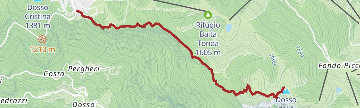
A steep climb into a gorge where Austro-Hungarian troops dug trenches and shelters, cleared again in 2014, with the Pasubio massif opposite.
- 3.8 km
- Distance
- 458 m
- Ascent
- 1 h 59 min
- Duration
- 18
- Check-ins
Open route Azienda per il Turismo Alpe Cimbra850 - Tour delle Somme
A lift-assisted round of the hills above Serrada, using the Martinella chairlifts to gain height.
- 23.5 km
- Distance
- 835 m
- Ascent
- 2 h 52 min
- Duration
- 72
- Check-ins
- Dosso delle Somme 1 670 m
- Rifugio Baita Tonda 1 605 m
- Passo Coe 1 610 m
- Stella d'Italia 1 536 m
- Ai Camini 1 626 m
- La baita 1 482 m
- +2
Open route Azienda per il Turismo Alpe CimbraWalking in the woods of Terragnolo
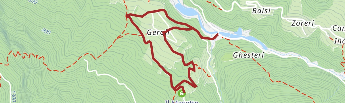
An easy loop from the car park at the Leno bridge into the woods above, out to the Masetto with its simple kitchen and nature workshops.
- 3.6 km
- Distance
- 186 m
- Ascent
- 1 h 21 min
- Duration
- Il Masetto 848 m
- Leno di Terragnolo 666 m
- Pazaul 669 m
Open route APT Rovereto Vallagarina Monte BaldoSerrada - Baita Tonda
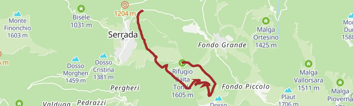
A walk up from Serrada on the old military road to the Rifugio Baita Tonda, with the option of starting from Roccolo or Cogola.
- 6.2 km
- Distance
- 332 m
- Ascent
- 2 h 1 min
- Duration
- 16
- Check-ins
Open route Azienda per il Turismo Alpe CimbraFolgaria - Calliano - Rovereto - Terragnolo
A descent from Folgaria to Rovereto, returning up the Val di Terragnolo over the Sella di Serrada.
- 48.7 km
- Distance
- 1 441 m
- Ascent
- 5 h 40 min
- Duration
- 14
- Check-ins
- Sella di Serrada 1 250 m
- Pescicoltura 211 m
- Genovesa 279 m
- Agritur Masi Brenta 574 m
- Osteria del Nazio 681 m
Open route Azienda per il Turismo Alpe CimbraTrail of the "Teragnòle"
A climb from Rovereto on the old road to Noriglio, the way the women of the Terragnolo valley once carried produce down to the city markets.
- 8.4 km
- Distance
- 650 m
- Ascent
- 3 h 25 min
- Duration
- 5
- Check-ins
- Pescicoltura 211 m
- Agritur Masi Brenta 574 m
- Osteria del Nazio 681 m
Open route APT Rovereto Vallagarina Monte BaldoTrail of the "Seradini"
A steady diagonal climb through the woods of the Terragnolo valley, past Cimbrian place names and the casota del Minghele, an old farmers' shelter.
- 4.5 km
- Distance
- 674 m
- Ascent
- 2 h 45 min
- Duration
- 1
- Check-ins
Open route APT Rovereto Vallagarina Monte BaldoThe Wolf Gorge trail
A path along the Austro-Hungarian trench line on the ridge between Terragnolo and Folgaria, brought back to light in 2014.
- 5.4 km
- Distance
- 549 m
- Ascent
- 3 h 21 min
- Duration
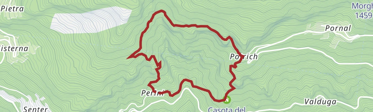
Open route APT Rovereto Vallagarina Monte BaldoValgrande-Perini-Potrich-Cengio Bianco-Valgrande
A loop between the hamlets of the Terragnolo valley, past fountains and dry-stone walls in one of the least altered corners of the Vallagarina.
- 4.6 km
- Distance
- 562 m
- Ascent
- 3 h 22 min
- Duration
Open route APT Rovereto Vallagarina Monte Baldo
No routes of this kind in Terragnolo yet.
The region's own picks

Featured route
27 - Monte Maggio
An easy climb on the Alpe Cimbra, with the Val di Terragnolo below and Pasubio filling the skyline, and inns near the summit.
Planning a trip to Terragnolo?
Everything else Trentino-Alto Adige/Südtirol has, in one place


Take Terragnolo with you into the mountains
Every route on this page with 3D terrain, GPX navigation and offline maps — including the valleys with no signal.
Data sources
- Official website: visitrovereto.it ↗
- Routes and highlights: Azienda per il Turismo Alpe Cimbra, Visitrovereto, APT Rovereto Vallagarina Monte Baldo, Trentino Fishing
- Published as open data by the tourist boards named above.
- Region summary generated from the board's own material.
