








Curated by Gitschberg - Jochtal
Terento/Terenten
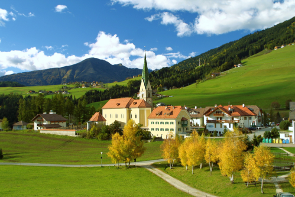
A sunny terrace village above the Val Pusteria below the Gitschberg, known for the Terento devil's stone.
- 1Highlights
- 25Routes
- Featured summit · Il Giogo
Highlights
14 from neighbouring places
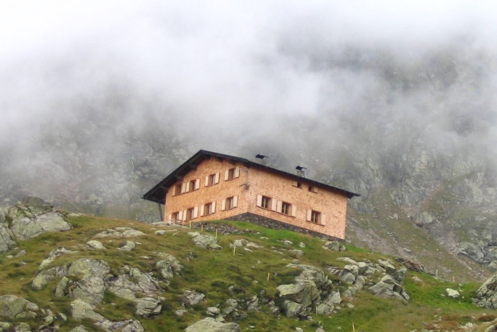
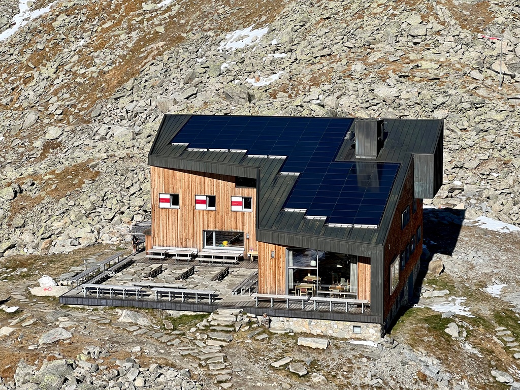
Rifugio Lago di Pausa
A refuge beside the Lago di Pausa above Terento, in the Monti di Fundres, on the Pfunderer Höhenweg.
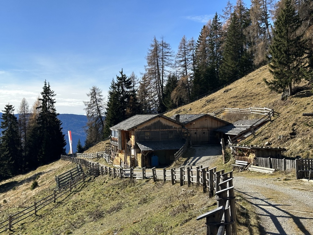
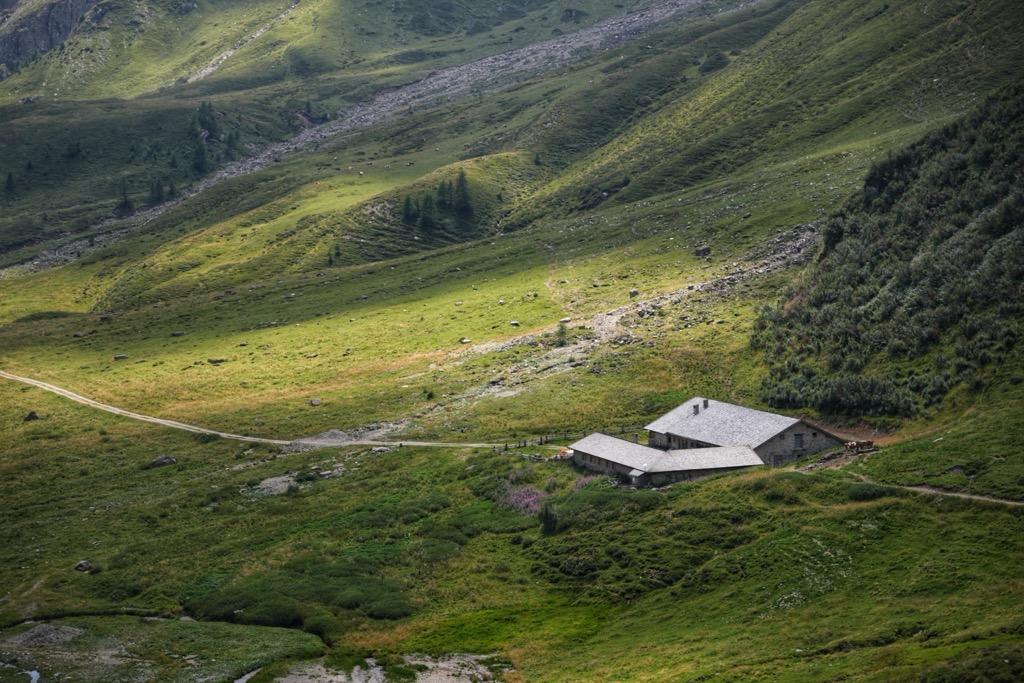
Malga Moarhof
5 km away, in Chienes/Kiens
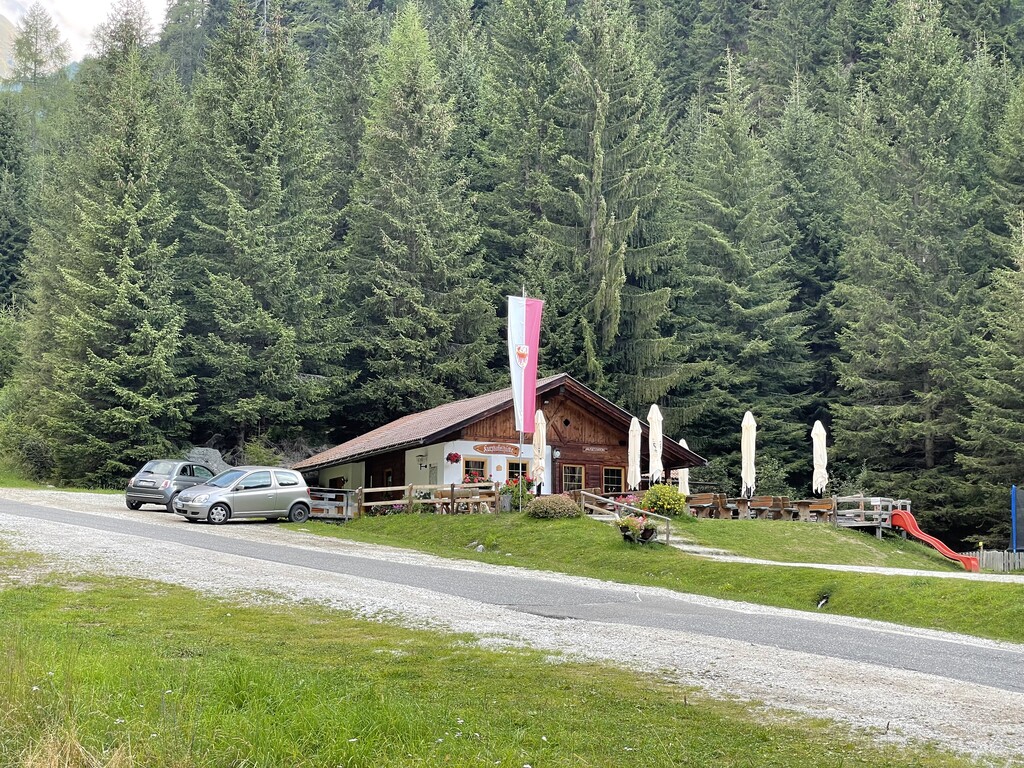
A farm dairy on the slopes above Chienes, on the sunny side of the Val Pusteria.
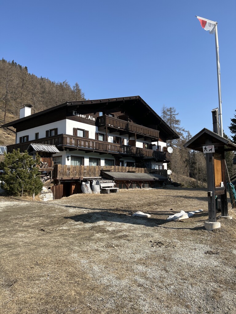
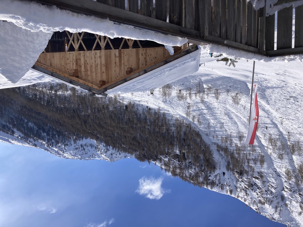
Kiener Alm
7.3 km away, in Vandoies/Vintl
A dairy hut on the pastures above Vandoies, in the Monti di Fundres on the north side of the Val Pusteria.
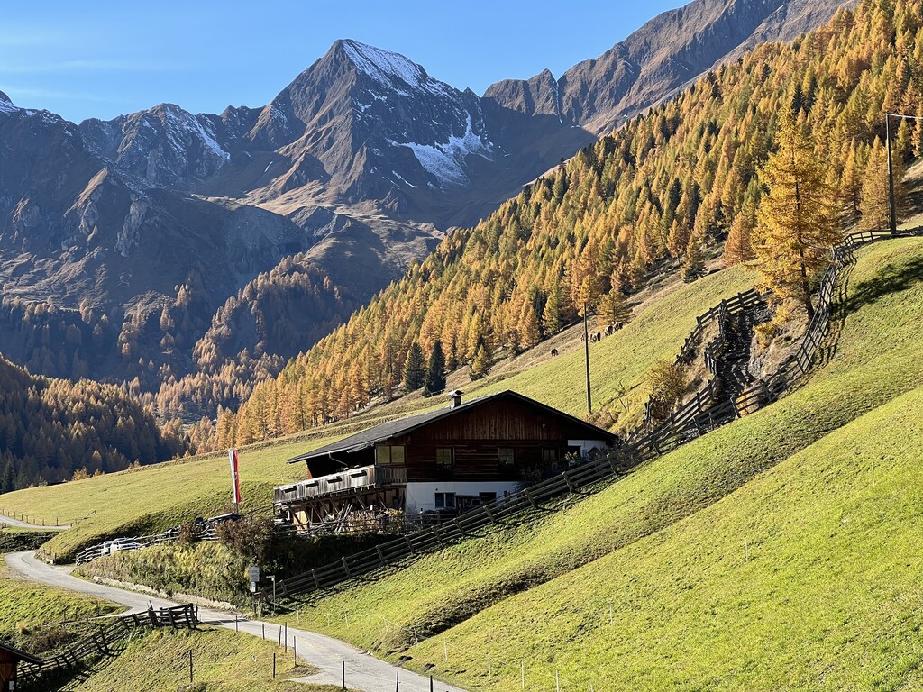
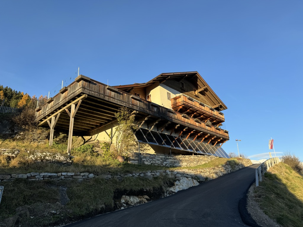
Malga Mair am Tinkhof
7.8 km away, in Selva dei Molini/Mühlwald
A working dairy on the slopes above Selva dei Molini, reached by a track from the valley road.
Malga Bergmeisteralm
7.8 km away, in Selva dei Molini/Mühlwald
A dairy hut on the pastures above Selva dei Molini, in a side valley of the Valle Aurina.
Sterzing, Pfitsch und FreienfeldRifugio Ponte di Ghiaccio
11.3 km away, in Vandoies/Vintl
A refuge at the Passo Ponte di Ghiaccio, between the Val di Fundres and the Neves reservoir, on the Pfunderer Höhenweg.
Weitenbergalm
13.8 km away, in Vandoies/Vintl
A dairy hut on the Weitenberg pastures above Vandoies, reached by forest road from the Val Pusteria.
Wieserhütte
9.4 km away, in Rio di Pusteria/Mühlbach
A hut on the wooded slopes above Rio di Pusteria, reached on foot from the Valles road.
Albergo Kofler am Kofl
9.6 km away, in Falzes/Pfalzen
A mountain inn on a knoll above Falzes, looking down the Val Pusteria towards the Dolomites.
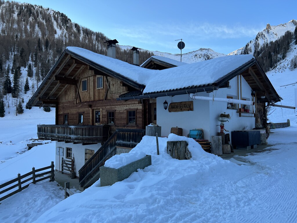
Sterzing, Pfitsch und FreienfeldMarxeggeralm malga
10.3 km away, in Valle Aurina/Ahrntal
A dairy hut on the Marxegg pastures of the Valle Aurina, on the wooded slopes above the Ahr valley.
Sterzing, Pfitsch und FreienfeldInnerhofer Alm malga
10.9 km away, in Valle Aurina/Ahrntal
A farm-run dairy hut on the pastures of the Valle Aurina, on the sunny side of the Ahr valley below the Zillertal ridges.
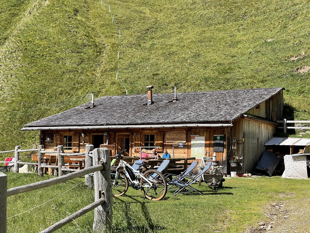
Sterzing, Pfitsch und FreienfeldTschiffernaun Alm
11.9 km away, in Rio di Pusteria/Mühlbach
A dairy hut on the Tschiffernaun pastures above Rio di Pusteria, in the mountains north of the Val Pusteria.
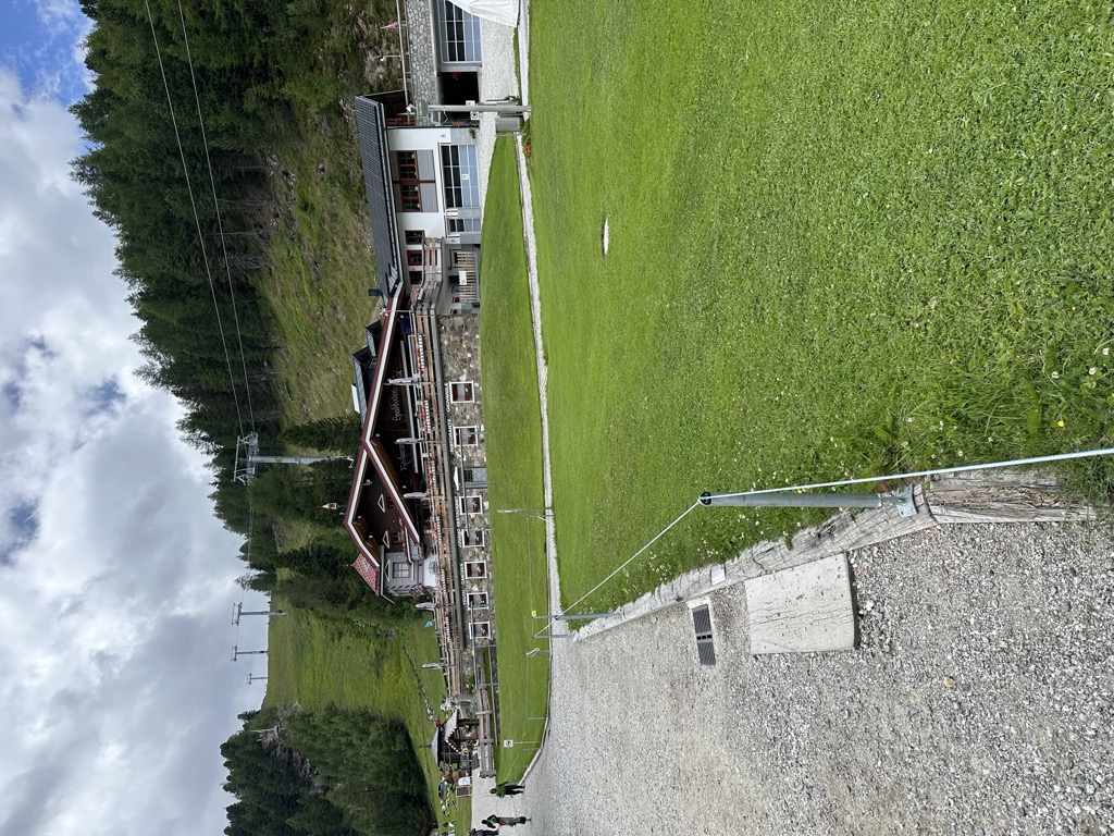
Sterzing, Pfitsch und FreienfeldRistoranti Speikboden
12.3 km away, in Campo Tures/Sand in Taufers
The mountain restaurants at Speikboden above Campo Tures, reached by cable car, at the start of the walks towards the Sonklarspitz ridge.
Kurzkofel
12.4 km away, in Rio di Pusteria/Mühlbach
A pasture hut below the Kurzkofel above Rio di Pusteria, in the Pfunderer mountains north of the Val Pusteria.
Sterzing, Pfitsch und FreienfeldGatterer Hütte
13 km away, in Rio di Pusteria/Mühlbach
A pasture hut on the slopes above Rio di Pusteria, in the Valle di Valles.
Sterzing, Pfitsch und Freienfeld
Nothing of this kind in Terento/Terenten.
Routes
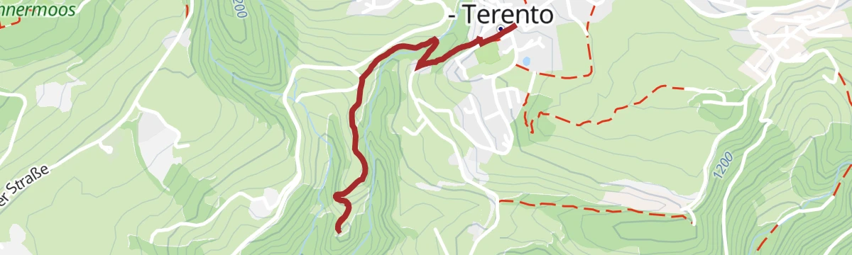
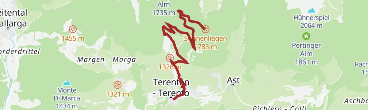
Devils' Stone and Pertinger Alm hut in Terenten
A forest path from Terento to the Pertinger Alm, passing the Teufelsstein boulder of local legend, with the Pusteria valley below.
- 2.6 km
- Distance
- 281 m
- Ascent
- 1 h 10 min
- Duration
- 12
- Check-ins
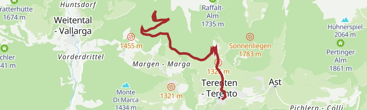
Open route Gitschberg - JochtalAm Joch peak: Scenic Hike in Terenten
A quiet climb above Terenten through pasture and open larch wood to the Terner Joch, facing the Dolomites on one side and the Zillertal Alps on the other.
- 6.0 km
- Distance
- 816 m
- Ascent
- 3 h 15 min
- Duration
- 48
- Check-ins
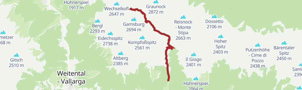
Open route Gitschberg - JochtalKempspitze: A Summit Adventure for Experienced Hikers
A big ascent from Terenten past waterfalls and the Tiefrastensee to the Kempspitze, the last stretch above the hut being the most demanding.
- 6.6 km
- Distance
- 1 265 m
- Ascent
- 4 h 43 min
- Duration
- 50
- Check-ins
 Kempspitz 2 704 m
- Kempspitze 2 699 m
 Tiefrastenhütte 2 312 m
 Tiefrastensee - Lago della Pausa 2 312 m
- Astnerbergalm 1 640 m
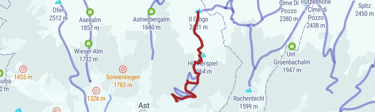
Open route Gitschberg - JochtalScialpinismo al Giogo di Terento: Una vetta panoramica nelle Alpi di Fundres
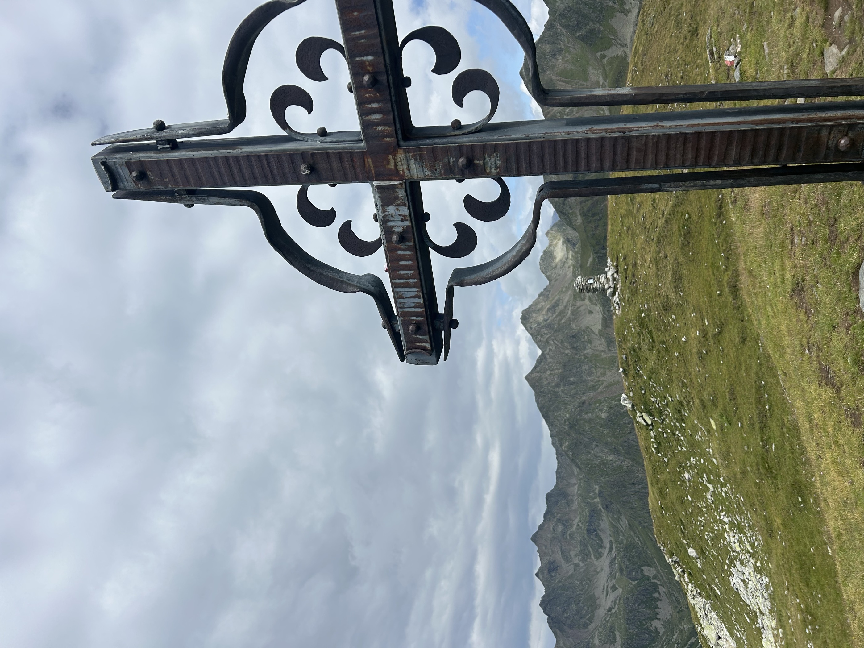
A ski tour to the Giogo di Terento at 2,405 m in the Alpi di Fundres, with the Tre Cime and Cristallo east and the Sciliar away to the south-west.
- 5.0 km
- Distance
- 818 m
- Ascent
- 0 m
- Descent
- 2 h 22 min
- Duration
- 48
- Check-ins
Open route Sterzing, Pfitsch und FreienfeldThe Witches' Stone in Terenten
A short family climb in the Winnebachtal above Terenten to the Hexenstein, a boulder carved with prehistoric cup marks and tied to a local legend.
- 1.8 km
- Distance
- 219 m
- Ascent
- 54 min
- Duration
- 11
- Check-ins
Open route Gitschberg - JochtalFrom Terenten to the Tiefrastenhütte mountain hut
The long climb from Terenten into the Winnebachtal to the Tiefrastenhütte and its lake at 2,312 m, a Brixen alpine club hut standing since 1912.
- 10.6 km
- Distance
- 897 m
- Ascent
- 5 h 43 min
- Duration
- 45
- Check-ins
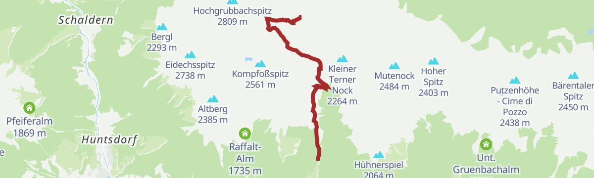
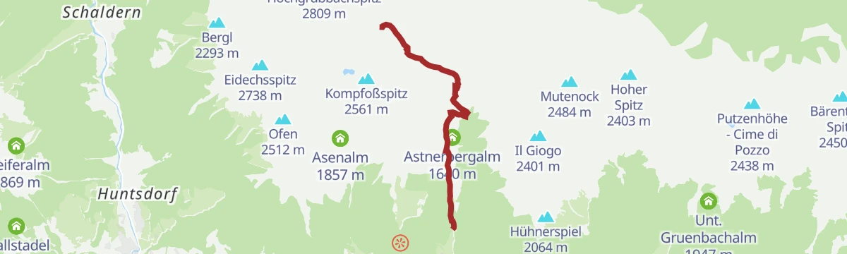
Open route BrixenHochgrubbachspitze: Peak Adventure Above the Winnebachtal
A steep summit day above the Winnebachtal, passing waterfalls, pasture and the Tiefrastensee before the final rocky climb to the Hochgrubbachspitze.
- 6.9 km
- Distance
- 1 380 m
- Ascent
- 5 h 6 min
- Duration
- 49
- Check-ins
- Hochgrubbachspitz 2 809 m
- Tiefrastenhütte 2 312 m
- Tiefrastensee - Lago della Pausa 2 312 m
- Astnerbergalm 1 640 m
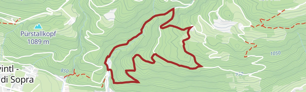
Open route Gitschberg - JochtalCastel Raubschlössl circular route
An easy loop above Obervintl to the ruins of the Raubschlössl, with two route options and open viewpoints over the Pustertal.
- 4.1 km
- Distance
- 301 m
- Ascent
- 1 h 57 min
- Duration
Open route Gitschberg - JochtalTiefrasten hut and lake
A steady climb to the Tiefrastenhütte and its lake, a quiet stop on the Pfunderer Höhenweg with wide views and food at the hut.
- 5.3 km
- Distance
- 899 m
- Ascent
- 3 h 25 min
- Duration
- 45
- Check-ins
Open route Gitschberg - JochtalEidechsspitze peak: A Summit Adventure with Panoramic Views
A long ascent for fit walkers to the Eidechsspitze, passing the Kompfoss lake on the way up into the Pfunderer mountains.
- 15.5 km
- Distance
- 1 547 m
- Ascent
- 9 h 31 min
- Duration
- 25
- Check-ins
- Eidechsspitz 2 738 m
- Engl Alm 1 827 m
- Kompfoß Hütte 2 181 m
- Kompfoßsee - Lago Campofosso 2 444 m
- Asenalm 1 857 m
- Raffalt-Alm 1 735 m
- +1
Open route Gitschberg - JochtalMargen circular hike in Terenten - Margen
An easy round over the Margen slope at Terenten, passing old farmsteads with the Pustertal below and the Lechnerhof inn at the end.
- 7.0 km
- Distance
- 271 m
- Ascent
- 2 h 18 min
- Duration
Open route Gitschberg - JochtalAlpine huts tour at Terenten
A long circuit above Terenten linking several working alpine huts, crossing flowering pasture with the Pustertal ranges in view.
- 13.3 km
- Distance
- 784 m
- Ascent
- 5 h 27 min
- Duration
- 23
- Check-ins
Open route Gitschberg - JochtalPanoramic trail around Terenten
A long panoramic circuit around Terenten, following the sunny terrace above the Pustertal on quiet farm and forest tracks.
- 15.6 km
- Distance
- 496 m
- Ascent
- 4 h 52 min
- Duration
Open route Gitschberg - JochtalMills trail and earth pyramids
A family walk at Terenten past restored watermills on the stream and on to the earth pyramids left by erosion in the moraine.
- 4.5 km
- Distance
- 217 m
- Ascent
- 1 h 36 min
- Duration
Open route Gitschberg - JochtalAlpine rose trail at Terenten
A circuit through the alpine rose slopes above Terenten, at its best in early summer when the shrubs are in flower.
- 11.5 km
- Distance
- 530 m
- Ascent
- 3 h 60 min
- Duration
- 9
- Check-ins
Open route Gitschberg - JochtalPath of Reflection St. Zeno/Terenten
A level walk to St. Zeno, the oldest church in Terenten, with seven carved steles on the sorrows of Mary set along the way.
- 1.2 km
- Distance
- 10 m
- Ascent
- 24 min
- Duration
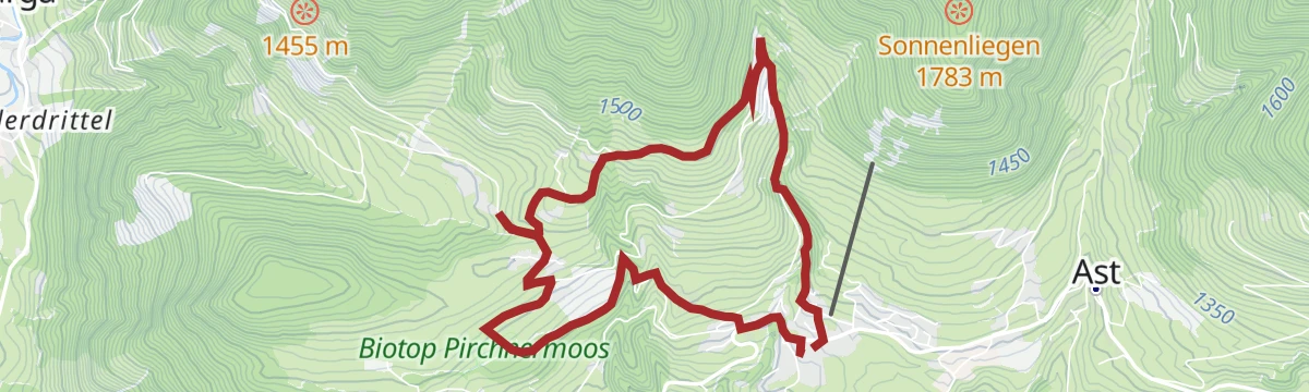
Open route Gitschberg - JochtalNature and Culture Trail in Terenten
A circuit at Terenten through protected wetland and past old farms to the earth pyramids, with boards on the landscape and its history.
- 7.2 km
- Distance
- 296 m
- Ascent
- 2 h 25 min
- Duration
Open route Gitschberg - JochtalPuoi trovare parcheggi direttamente nel centro del paese di Terento, vicino al punto di partenza del percorso.
An easy panoramic loop starting in the middle of Terento, following the sunny slope above the Pustertal; also used as a running route.
- 4.8 km
- Distance
- 181 m
- Ascent
- 1 h 34 min
- Duration
Open route Gitschberg - JochtalPfalzen - St. Sigmund
A crossing of the plateau from Pfalzen over to St Sigmund, through hazel groves, meadow and forest past boundary stones, glacial erratics, dry-stone walls and old farms.
- 13.5 km
- Distance
- 309 m
- Ascent
- 4 h 10 min
- Duration
Open route AVS Sektion Sand in Tauferscircular hiking trail 'Stocknertal' in Terenten
A short loop through the Stocknertal and the outlying parts of Terenten, easy going and varied for its length.
- 3.2 km
- Distance
- 89 m
- Ascent
- 59 min
- Duration
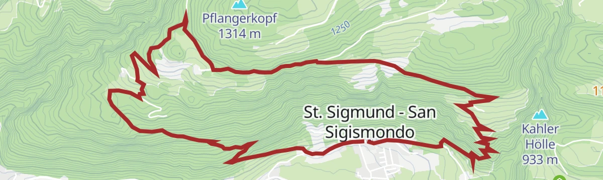
Open route Gitschberg - JochtalSan Sigismondo/St. Sigmund butterfly trail
A themed walk over the flowery slopes between San Sigismondo and Terento, with boards on the butterflies of the meadows and benches to sit on.
- 8.9 km
- Distance
- 400 m
- Ascent
- 3 h 4 min
- Duration
Open route Kienshiking tour to the Lechnerhof hut in Terenten
A short easy walk from Margen past the church of St. Margaret to the Lechnerhof, a farmhouse inn on the Terenten terrace.
- 2.8 km
- Distance
- 88 m
- Ascent
- 54 min
- Duration
Open route Gitschberg - JochtalSunshine refill spot at Gols in Terenten
A climb above Terenten to the sun terrace at Gols, one of the village's vitamin D stations, set up as a place to sit in the open air.
- 6.2 km
- Distance
- 563 m
- Ascent
- 2 h 29 min
- Duration
Open route Gitschberg - JochtalSunshine refill spot at Mosereck in Terenten
A climb through the woods above Terenten to the Mosereck sun station, a quiet spot with seating and open views.
- 6.4 km
- Distance
- 676 m
- Ascent
- 2 h 51 min
- Duration
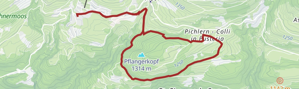
Open route Gitschberg - Jochtalcircular hiking trail Terenten - Pichlern
A circuit from Terenten to Pichlern on woodland paths and quiet lanes along the Pustertal sun road, with farms and cafés on the way.
- 8.9 km
- Distance
- 203 m
- Ascent
- 2 h 35 min
- Duration
Open route Gitschberg - Jochtal
No routes of this kind in Terento/Terenten yet.
The region's own picks
Featured route
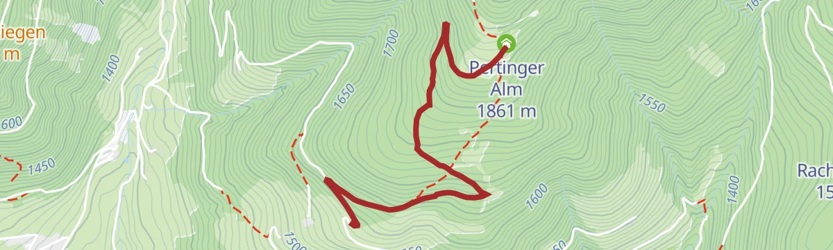
Devils' Stone and Pertinger Alm hut in Terenten
A forest path from Terento to the Pertinger Alm, passing the Teufelsstein boulder of local legend, with the Pusteria valley below.
Planning a trip to Terento/Terenten?
Everything else Trentino-Alto Adige/Südtirol has, in one place


Take Terento/Terenten with you into the mountains
Every route on this page with 3D terrain, GPX navigation and offline maps — including the valleys with no signal.
Data sources
- Official website: gitschberg-jochtal.com ↗
- Routes and highlights: Gitschberg - Jochtal, Sterzing, Pfitsch und Freienfeld, Dolomiti, Brixen, AVS Sektion Sand in Taufers, Kiens
- Published as open data by the tourist boards named above.
- Region summary generated from the board's own material.
