
















Curated by APT Valsugana e Lagorai
Telve
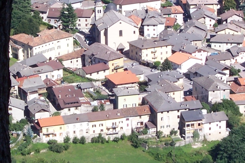
Valsugana village below the Lagorai, with the Castel San Pietro ruins and long walks into the Calamento valley.
Photo: Guy Agostini · CC BY 2.5 licence
- 40Routes
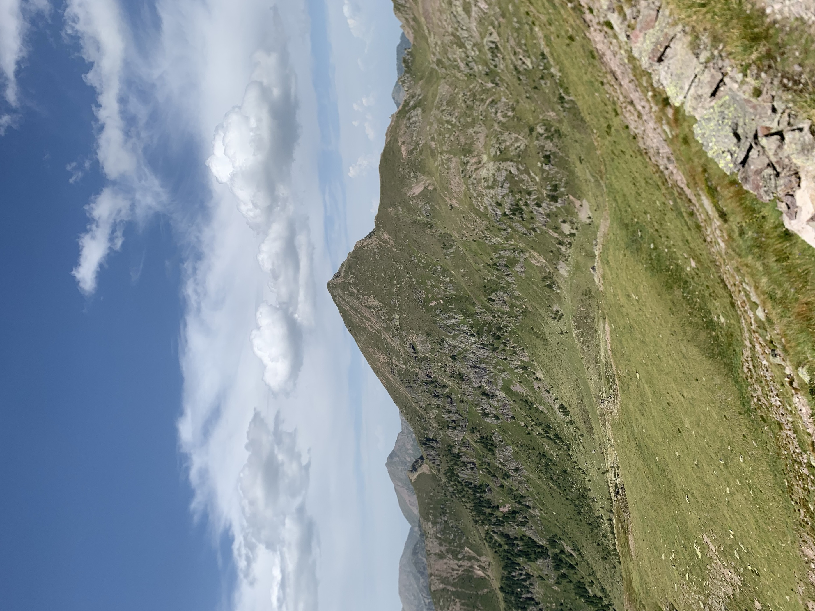
- Featured summit · Ziolera
Routes
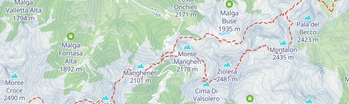
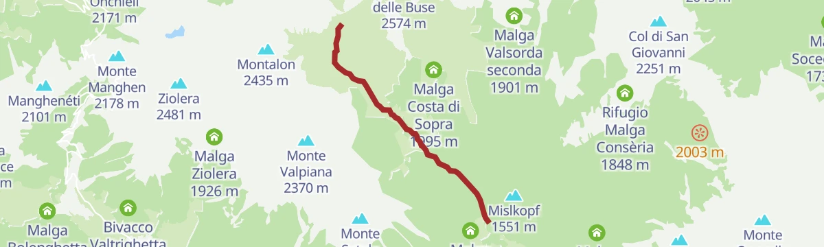
Trekking - Passo Manghen
A walk near the Passo Manghen in the Lagorai, among dark porphyry rock, glacial cirques and peat bogs.
- 6.4 km
- Distance
- 355 m
- Ascent
- 2 h 30 min
- Duration
- 62
- Check-ins
 Baita Manghen Hütte 2 019 m
 Lago di Cadinel 2 014 m
 Passo Manghen 2 047 m
- Passo Cadino 1 954 m
- Malga Valsolero Di Sopra 1 750 m
- Capanna dei camosci 1 805 m
Open route APT Valsugana e LagoraiBuse Lake
A ring from the Passo Manghen to the Lago delle Buse, a pool among pasture whose name means lake of holes; rhododendron and blueberry cover the slopes in early July.
- 11.5 km
- Distance
- 662 m
- Ascent
- 4 h 39 min
- Duration
- 79
- Check-ins
 Cima Di Valsolero 2 283 m
- Baita Manghen Hütte 2 019 m
- Lago di Cadinel 2 014 m
- Forcella Montalon 2 133 m
- Passo Manghen 2 047 m
- Forcella del Frate 2 230 m
- +2
Open route APT Fiemme CembraPeace Trail 28: From Campestrini to Rifugio Malga Conseria
A long stage from Campestrini, first on a cobbled mule track and then on shaded forest path, up to the Malga Conseria hut in the Lagorai.
- 21.3 km
- Distance
- 1 677 m
- Ascent
- 8 h 51 min
- Duration
- 102
- Check-ins
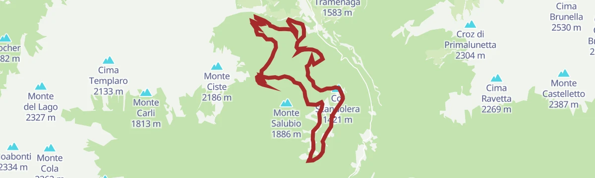
- Col Scandolera 1 421 m
- Rifugio Malga Consèria 1 848 m
- Bivacco Rifugio Consèria 1 824 m
- Malga Conseria 1 821 m
- Rifugio Carlettini 1 367 m
- Malga Cenon di sotto 1 334 m
- +5
Open route APT Valsugana e LagoraiMTB - Giro di Musiera 2350
A loop off the Musiera plateau, dropping to Malga Pozza in Val Calamento, then climbing hairpins to Forcella Lavoschio past Great War forts.
- 18.4 km
- Distance
- 779 m
- Ascent
- 2 h 22 min
- Duration
- 10
- Check-ins
- Col Scandolera 1 421 m
- Forcella Lavoschio 1 750 m
- Battaini 1 446 m
- Baita Trentinaglia 1 396 m
- Malga Pozza 1 187 m
- Baita Vulcano 1 481 m
- +3
Open route APT Valsugana e LagoraiRoadbike - Borgo Valsugana - Telve - Carzano - Scurelle - Castelnuovo
A short road loop from Borgo Valsugana over the high point at Telve, dropping through orchard villages to the Brenta cycle path.
- 12.0 km
- Distance
- 242 m
- Ascent
- 1 h 18 min
- Duration
Open route APT Valsugana e LagoraiPasso Manghen by way of Val Calamento
A very long day from Levico Terme on the Brenta cycle path, then the one big road climb to the pass at 2,047 m and the Lago di Cadinel.
- 112.0 km
- Distance
- 2 690 m
- Ascent
- 12 h 28 min
- Duration
- 129
- Check-ins
- Baita Manghen Hütte 2 019 m
- Lago di Cadinel 2 014 m
- Passo Manghen 2 047 m
- Parc Hotel Du Lac 454 m
- Sella di Vignola 557 m
- Visitvalsugana 491 m
- +22
Open route APT Valsugana e LagoraiLago Passo Manghen F
A few steps at the small lake beside the Passo Manghen, on the crest between the Valsugana and the Val di Fiemme.
- 106 m
- Distance
- 0 m
- Ascent
- 1 min
- Duration
- 37
- Check-ins
Open route Trentino FishingHiking trail - Monte Ziolera
A loop from the Passo Manghen over Monte Ziolera between the Montalon and Buse lakes, modest in climbing for a Lagorai summit.
- 5.3 km
- Distance
- 491 m
- Ascent
- 3 h 3 min
- Duration
- 69
- Check-ins
- Ziolera 2 481 m
- Cima Di Valsolero 2 283 m
- Baita Manghen Hütte 2 019 m
- Lago di Cadinel 2 014 m
- Passo Manghen 2 047 m
- Forcella del Frate 2 230 m
- +1
Open route APT Valsugana e LagoraiTranslagorai - Stage 1
The first stage of the Translagorai, climbing from the Passo Manghen over the Ziolera along the crest of the range.
- 12.6 km
- Distance
- 1 073 m
- Ascent
- 6 h 12 min
- Duration
- 83
- Check-ins
- Ziolera 2 481 m
- Cima Di Valsolero 2 283 m
- Forcella Montalon 2 133 m
- Passo Manghen 2 047 m
- Forcella Valsorda 2 256 m
- Sella del Mugon 2 204 m
- +6
Open route APT Fiemme CembraMTB - 3TBike Tour 2341
A waymarked route across Colle San Pietro on cobbled lanes and singletrack, linking the four villages of the Ecomuseo del Lagorai.
- 29.8 km
- Distance
- 1 303 m
- Ascent
- 3 h 52 min
- Duration
- 2
- Check-ins
Open route APT Valsugana e LagoraiGiro del Manghen
A long road loop from the Piné plateau up to Passo Manghen, a climb used by the Giro d'Italia, dropping back over the Sella di Vignola.
- 106.5 km
- Distance
- 2 824 m
- Ascent
- 12 h 7 min
- Duration
- 124
- Check-ins
- Dos de le Morf 956 m
- Baita Manghen Hütte 2 019 m
- Lago di Cadinel 2 014 m
- Passo Manghen 2 047 m
- Parc Hotel Du Lac 454 m
- Sella di Vignola 557 m
- +20
Open route APT TrentoTorrente Maso B
A flat riverside stretch along the Maso torrent at Scurelle in the Valsugana.
- 6.0 km
- Distance
- 0 m
- Ascent
- 1 h 55 min
- Duration
- 22
- Check-ins
Open route Trentino FishingMaso di Spinelle I1
A level route through the fields and farmsteads around Maso di Spinelle on the Tesino plateau.
- 9.8 km
- Distance
- 28 m
- Ascent
- 3 h 40 min
- Duration
- 22
- Check-ins
Open route Trentino FishingTrekking to Lago delle Stellune
A high crossing of the central Lagorai past the lonely Lago delle Buse under Cima Ziolera, ending at the Lago delle Stellune below its peak.
- 17.6 km
- Distance
- 746 m
- Ascent
- 5 h 58 min
- Duration
- 83
- Check-ins
- Baita Manghen Hütte 2 019 m
- Lago di Cadinel 2 014 m
- Forcella Montalon 2 133 m
- Passo Manghen 2 047 m
- Forcella Valsorda 2 256 m
- Sella del Mugon 2 204 m
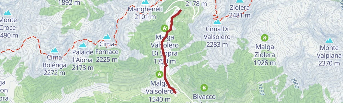
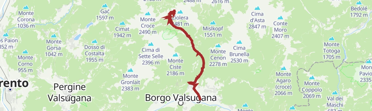
Open route APT Valsugana e LagoraiRoadbike - Borgo Valsugana - Passo Manghen
A road climb of nearly 1,900 m from Borgo Valsugana through Telve and the woods at Baessa to the pass at 2,047 m, a Giro d'Italia ascent.
- 46.5 km
- Distance
- 1 803 m
- Ascent
- 5 h 49 min
- Duration
- 66
- Check-ins
- Baita Manghen Hütte 2 019 m
- Lago di Cadinel 2 014 m
- Passo Manghen 2 047 m
- Malga Valsolero Di Sopra 1 750 m
- Capanna dei camosci 1 805 m
- Malga Valsolero 1 540 m
- +3
Open route APT Valsugana e LagoraiRio Manghen LM
A flat stretch along the Rio Manghen in the Val Calamento above Telve.
- 2.0 km
- Distance
- 0 m
- Ascent
- 56 min
- Duration
- 7
- Check-ins
Open route Trentino FishingHiking trail - The lake of Forcella di Montalon
A route into the quiet Lagorai to the small lake at the Forcella di Montalon, passing three disused herders' huts kept as heritage.
- 10.4 km
- Distance
- 798 m
- Ascent
- 5 h 10 min
- Duration
- 13
- Check-ins
Open route APT Valsugana e LagoraiHiking trail - To the Stellune Lake and Manghen Pass
A route that starts high at the Passo Manghen and keeps near the ridge past the Buse lake to the Stellune, among wartime remains in the Lagorai.
- 17.8 km
- Distance
- 902 m
- Ascent
- 6 h 34 min
- Duration
- 71
- Check-ins
- Baita Manghen Hütte 2 019 m
- Lago di Cadinel 2 014 m
- Forcella Montalon 2 133 m
- Forcella Valsorda 2 256 m
- Sella del Mugon 2 204 m
Open route APT Valsugana e LagoraiRoadbike - Coppa d'Oro Grand Prix of the Sports Directors
A long road course through the Valsugana over the Sella di Vignola and past the lakeside hotels, run each year for the Allievi category.
- 87.0 km
- Distance
- 1 254 m
- Ascent
- 8 h 54 min
- Duration
- 38
- Check-ins
- Parc Hotel Du Lac 454 m
- Al Faro 453 m
- Meridiana 455 m
- Sella di Vignola 557 m
- Lagorai Valsugana Orientale 383 m
- APT Valsugana 386 m
Open route APT Valsugana e LagoraiGIRO DI MUSIERA
An easy loop on the Musiera plateau above Telve, on tracks through spruce wood and pasture.
- 4.7 km
- Distance
- 150 m
- Ascent
- 1 h 29 min
- Duration
- 4
- Check-ins
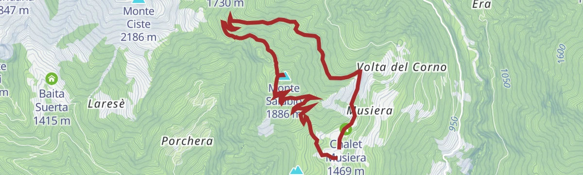
Open route APT Valsugana e LagoraiANELLO DEL MONTE SALUBIO
A ring over Monte Salubio and Cima Valboagna above the Val Calamento, on old military tracks with the Lagorai crest opposite.
- 8.6 km
- Distance
- 433 m
- Ascent
- 3 h 9 min
- Duration
- 10
- Check-ins
- Monte Salubio 1 886 m
- Cima Valboagna 1 802 m
- Forcella Lavoschio 1 750 m
- Baita Vulcano 1 481 m
- Chalet Musiera 1 469 m
- Villa Longo 1 477 m
- +1
Open route APT Valsugana e LagoraiMaso di Calamento G
A long steep line up the Val Calamento above Telve, gaining height towards the Lagorai crest.
- 11.7 km
- Distance
- 1 170 m
- Ascent
- 5 h 5 min
- Duration
- 4
- Check-ins
Open route Trentino FishingPasso Manghen - Valsugana
The climb from the Valsugana to the Passo Manghen at 2,047 m, nearly 1,900 m of gain in twenty-three.
- 23.0 km
- Distance
- 1 935 m
- Ascent
- 3 h 30 min
- Duration
- 29
- Check-ins
- Passo Manghen 2 047 m
- Malga Valsolero Di Sopra 1 750 m
- Capanna dei camosci 1 805 m
- Malga Valsolero 1 540 m
- Malga Baessa 1 327 m
- Maso Teda 725 m
- +1
Open route VisitTrentinoMalga Valtrighetta, Centro visitatori Oasi Valtrigona A/R
An out-and-back from Malga Valtrighetta to the visitor centre of the Valtrigona nature reserve above Telve.
- 5.1 km
- Distance
- 228 m
- Ascent
- 1 h 45 min
- Duration
- 3
- Check-ins
Open route APT Valsugana e LagoraiVal Calamento, Malga Cere e Val Maddalena
A circuit from the Val Calamento up to Malga Cere and round by the Val Maddalena, on pasture and forest tracks.
- 7.3 km
- Distance
- 540 m
- Ascent
- 3 h 32 min
- Duration
- 10
- Check-ins
Open route APT Valsugana e LagoraiNordic Walking - Salton Bridge Route
The longest route in the Lagorai nordic walking park: a dirt road through spruce forest from the Ponte del Salton up towards Musiera, returned the same way.
- 5.6 km
- Distance
- 149 m
- Ascent
- 1 h 59 min
- Duration
- 3
- Check-ins
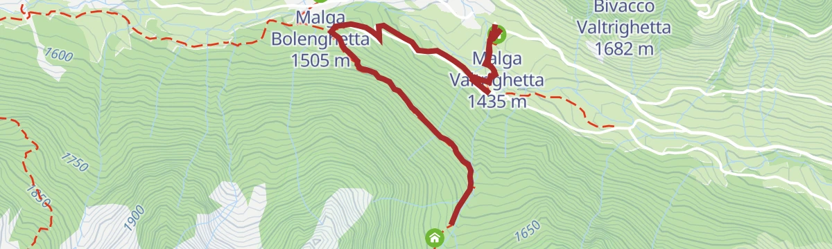
Open route APT Valsugana e LagoraiBack-country skiing - Malga Cagnon
A winter route up the Val Calamento to Malga Cagnon, made possible by the closure of the Manghen road from late October until April.
- 11.1 km
- Distance
- 394 m
- Ascent
- 3 h 34 min
- Duration
- 8
- Check-ins
- Malga Baessa 1 327 m
- Malga Bolenga 1 632 m
- Malga Valtrighetta 1 435 m
- Malga Bolenghetta 1 505 m
- Casa Bolenghetta 1 474 m
- Malga Cagnon di Sotto 1 723 m
Open route APT Valsugana e LagoraiNordic Walking - Musiera Tour
A short, nearly flat link across the Musiera plateau from the Ruscoletta inn to the Laghetto, where there is fishing, with the Lagorai chain opposite.
- 2.1 km
- Distance
- 11 m
- Ascent
- 38 min
- Duration
- 1
- Check-ins
Open route APT Valsugana e LagoraiHiking trail - The Great War on Monte Salubio
A walk on old mule tracks over Monte Salubio, past gun positions from the First World War with the Lagorai chain in view.
- 8.0 km
- Distance
- 422 m
- Ascent
- 3 h 1 min
- Duration
- 8
- Check-ins
- Cima Valboagna 1 802 m
- Forcella Lavoschio 1 750 m
- Baita Vulcano 1 481 m
- Chalet Musiera 1 469 m
- Villa Longo 1 477 m
- Prà de Media 1 505 m
Open route APT Valsugana e LagoraiLaghetto dell'altipiano di Musiera PS
A few minutes at the small lake on the Musiera plateau above Telve, kept for fishing.
- 193 m
- Distance
- 24 m
- Ascent
- 9 min
- Duration
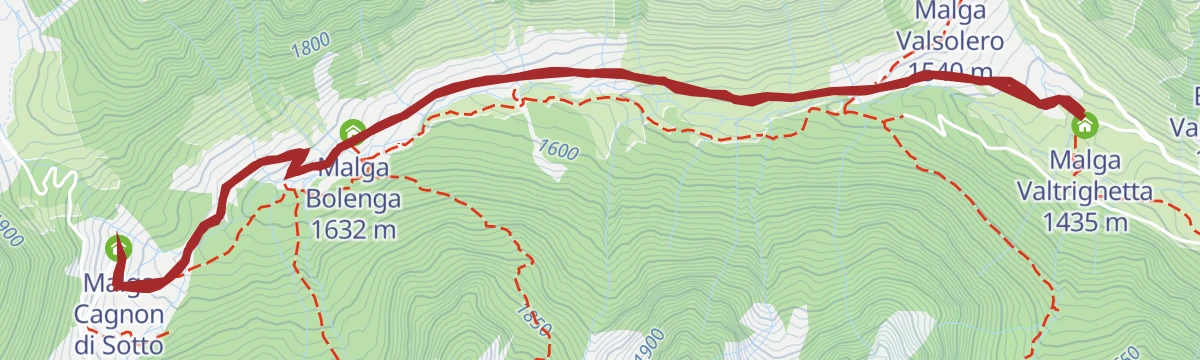
Open route Trentino FishingTrekking Val Calamento – Malga Cagnon di Sopra
A long but never steep walk up the Val Calamento to Malga Cagnon di Sopra, tarmac and then smooth gravel, manageable with an off-road buggy.
- 12.0 km
- Distance
- 440 m
- Ascent
- 3 h 54 min
- Duration
- 5
- Check-ins
- Malga Bolenga 1 632 m
- Malga Valtrighetta 1 435 m
- Malga Bolenghetta 1 505 m
- Casa Bolenghetta 1 474 m
- Malga Cagnon di Sopra 1 887 m
- Malga Cagnon di Sotto 1 723 m
Open route APT Valsugana e LagoraiRio Freggio
A flat streamside stretch along the Rio Freggio in the valleys above Telve.
- 2.0 km
- Distance
- 0 m
- Ascent
- 1 h 40 min
- Duration
Open route Trentino FishingWalk - The nature trail of Valtrigona WWF alpine Oasis
A climb into the Valtrigona reserve above Telve, the first alpine oasis taken on by the WWF in Italy, with a marked nature trail.
- 4.8 km
- Distance
- 557 m
- Ascent
- 2 h 24 min
- Duration
- 5
- Check-ins
- Malga Valtrigona 1 632 m
- Centro Visitatori 1 633 m
- Malga Valtrighetta 1 435 m
- Malga Agnelezza 1 852 m
- Laghetto Agnelezza 1 935 m
Open route APT Valsugana e LagoraiRio Val Cantieri
A level route along the stream in the Val Cantieri above Telve, with no climbing to speak of.
- 2.3 km
- Distance
- 0 m
- Ascent
- 1 h 28 min
- Duration
Open route Trentino FishingWalk – Malga Cagnon (Accessible also by stroller)
A surfaced walk through grazing land to Malga Cagnon near the Valtrigona reserve, passable with a pushchair and with cheese sold at the huts.
- 7.6 km
- Distance
- 276 m
- Ascent
- 2 h 27 min
- Duration
- 5
- Check-ins
- Malga Bolenga 1 632 m
- Malga Valtrighetta 1 435 m
- Malga Bolenghetta 1 505 m
- Casa Bolenghetta 1 474 m
- Malga Cagnon di Sotto 1 723 m
Open route APT Valsugana e LagoraiRio Valsorda M1
A short, steep line up the Valsorda stream on the slopes above Scurelle in the Valsugana.
- 2.4 km
- Distance
- 308 m
- Ascent
- 1 h 15 min
- Duration
Open route Trentino FishingRio Montalon H
A steep climb beside the Rio Montalon towards the Lagorai crest above Telve.
- 4.1 km
- Distance
- 719 m
- Ascent
- 2 h 43 min
- Duration
- 4
- Check-ins
Open route Trentino FishingRio Ziolera LZ
A flat stretch beside the Rio Ziolera, the stream draining towards the Val Calamento.
- 3.5 km
- Distance
- 0 m
- Ascent
- 1 h 58 min
- Duration
Open route Trentino FishingTorrente Maso A
A long stretch following the Maso torrent up Val Campelle, gaining height steadily along the streambed.
- 9.1 km
- Distance
- 784 m
- Ascent
- 3 h 51 min
- Duration
Open route Trentino FishingTorrente Maso I
A streamside route up the Maso in Val Campelle, rising towards the upper pastures of the Lagorai.
- 8.8 km
- Distance
- 743 m
- Ascent
- 3 h 43 min
- Duration
Open route Trentino Fishing
No routes of this kind in Telve yet.
The region's own picks

Featured route
Trekking - Passo Manghen
A walk near the Passo Manghen in the Lagorai, among dark porphyry rock, glacial cirques and peat bogs.
Planning a trip to Telve?
Everything else Trentino-Alto Adige/Südtirol has, in one place


Take Telve with you into the mountains
Every route on this page with 3D terrain, GPX navigation and offline maps — including the valleys with no signal.
Data sources
- Official website: visitvalsugana.it ↗
- Routes and highlights: APT Valsugana e Lagorai, Trentino Fishing, APT Fiemme Cembra, APT Trento, VisitTrentino
- Published as open data by the tourist boards named above.
- Region summary generated from the board's own material.
