

 Historic site








- 2Highlights
- 26Routes
- Featured summit · Saile (Nockspitze)
Highlights
13 from neighbouring places
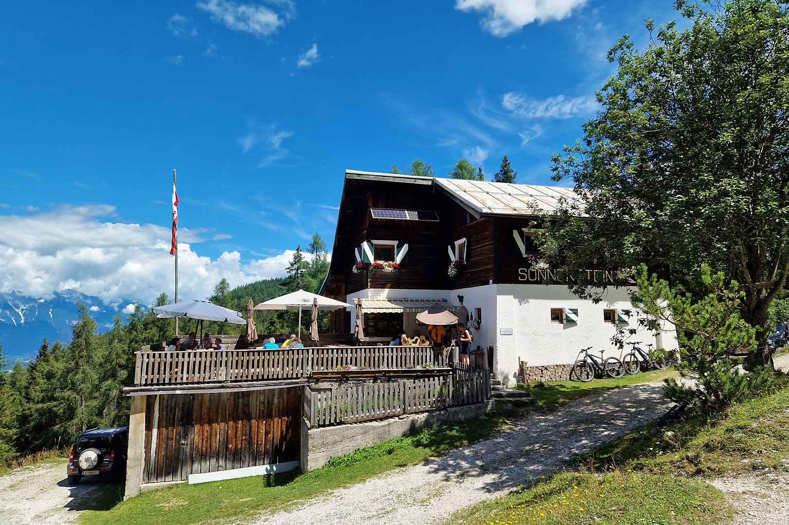
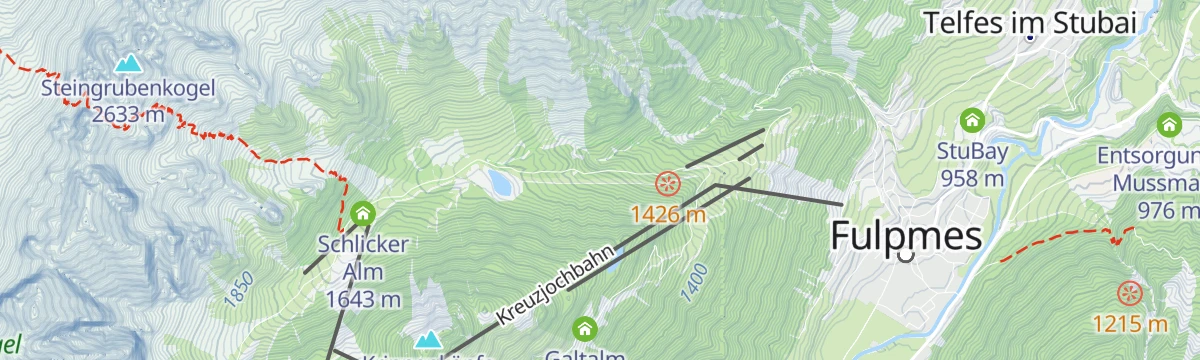
Schlickeralm 1.643m
A working pasture hut at 1,643 m in the Schlick 2000 walking area, serving its own dairy produce below the Kalkkögel.
Alpine Ventures
A guiding outfit based in Fulpmes offering sport-climbing instruction and guided routes on the Stubai valley's crags.
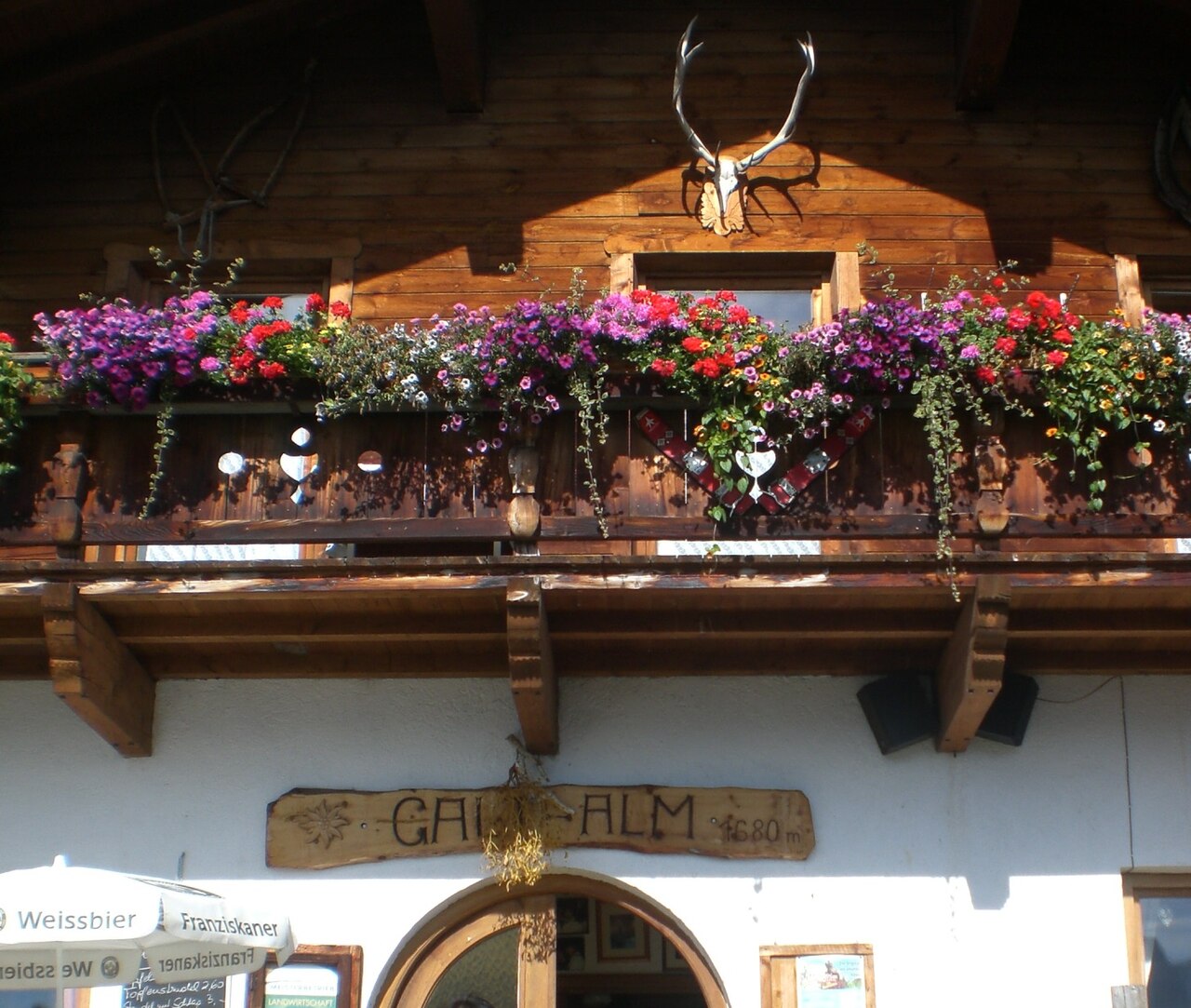
Galtalm
2.4 km away, in Fulpmes
A pasture hut on the slopes above Fulpmes in the Stubaital, a walkers' stop serving hut fare within easy reach of the village.
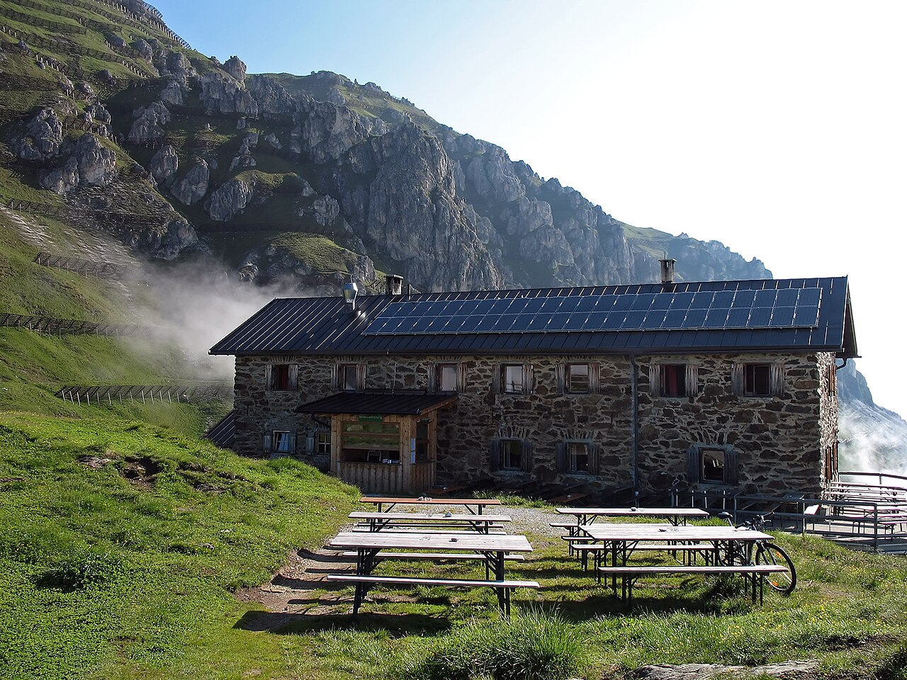
Starkenburger Hütte
2.6 km away, in Fulpmes
An Alpine Club hut at 2,237 m on the sunny side of the Stubaital, the customary first stage of the Stubai High Trail, reached from Fulpmes or Neustift.
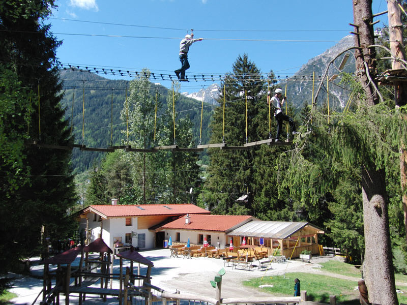
Adventurepark Fulpmes mit Hochseilgarten
2.8 km away, in Fulpmes
A high-ropes adventure park at Fulpmes with courses of ladders, bridges and zip lines at varying heights among the trees.
Stubaier Bergführer GesbR
3.6 km away, in Mieders
The Stubai mountain guides' association in Fulpmes, arranging guided climbing, via ferrata and high-alpine tours across the valley.
Gullenhütte
4.5 km away, in Mieders
A small hut on a farm above Mieders in the lower Stubaital, offering simple refreshment and farm-holiday lodging.
Alpengasthof Sonnenstein 1.400m
4.6 km away, in Mieders
A mountain inn at about 1,400 m above Mieders, sitting on a sunny terrace of the lower Stubaital.
Hoarachhof
4.8 km away, in Mutters
A farmhouse inn on the slopes above Mutters, serving snacks and regional dishes to walkers on the terrace south of Innsbruck.
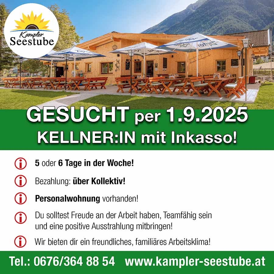
Kampler Seestube 1.000m
5.2 km away, in Neustift im Stubaital
A restaurant at about 1,000 m on the shore of the Kampler See near Neustift, serving bathers and cyclists on the valley route.
Ochsenhütte Mieders 1.582m
5.8 km away, in Mieders
A hut at 1,582 m above Mieders in the lower Stubaital, a refreshment stop on walks in the Serles area.
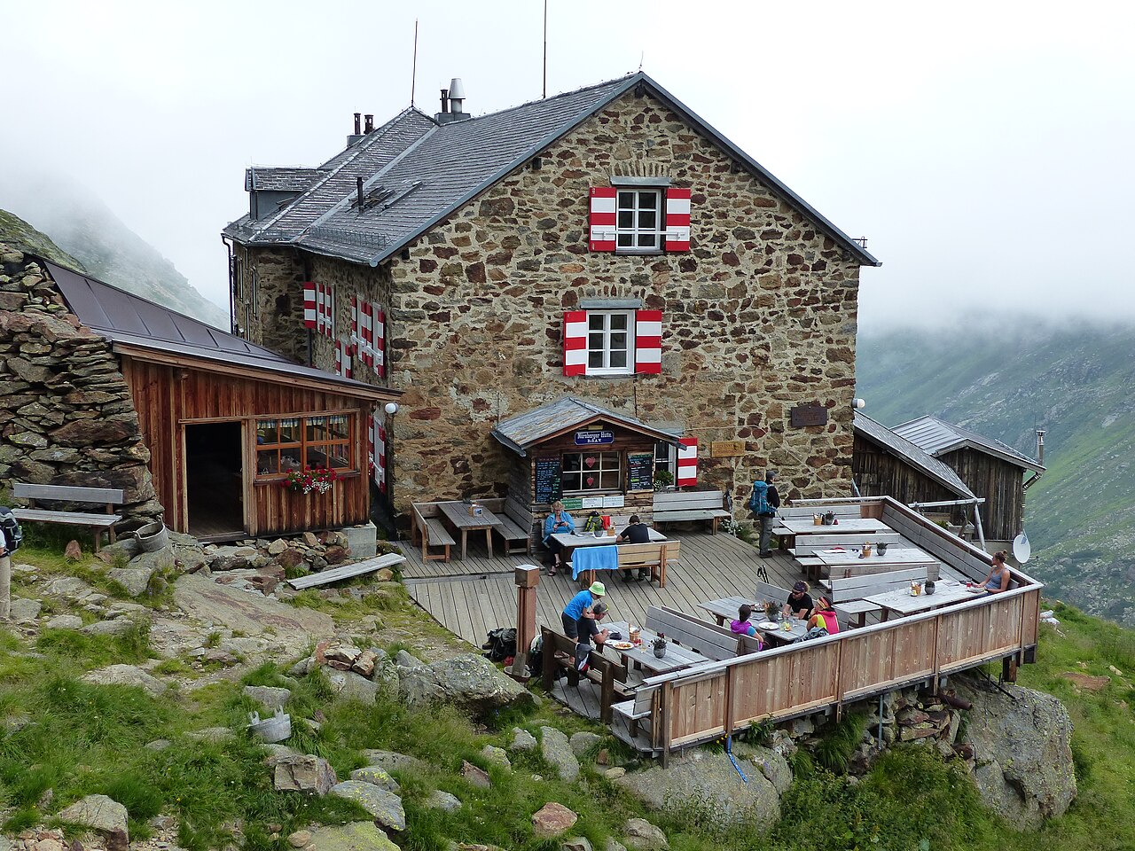
Nürnberger Hütte
6.9 km away, in Neustift im Stubaital
An Alpine Club hut at about 2,280 m in the Langental at the rear of the Stubaital, a Stubai High Trail stage and a base for the Wilder Freiger.
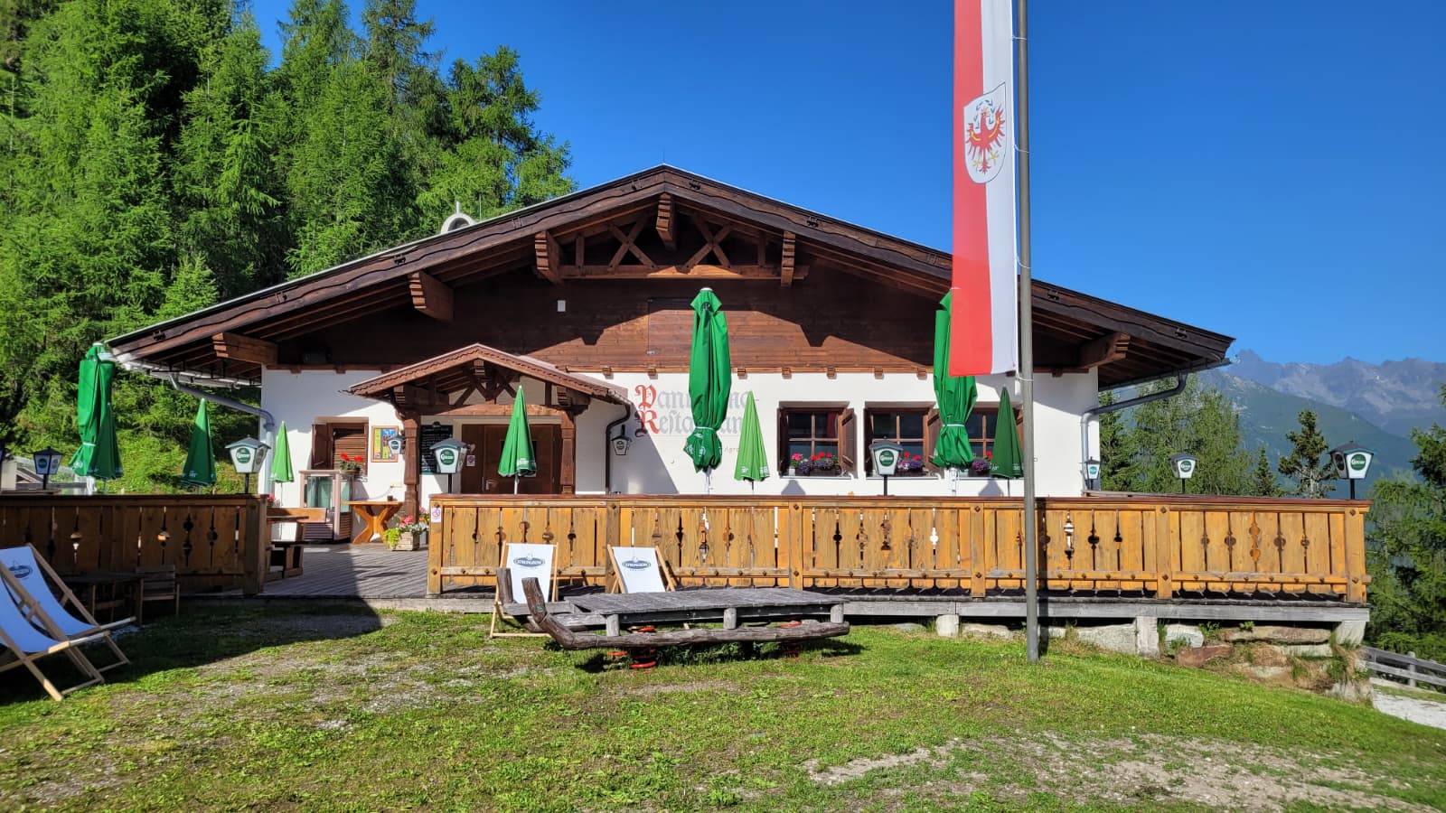
Panoramarestaurant Elfer 1.812m
8.1 km away, in Neustift im Stubaital
A panorama restaurant at 1,812 m by the Elfer lifts' top station above Neustift, with terrace views along the Stubaital.
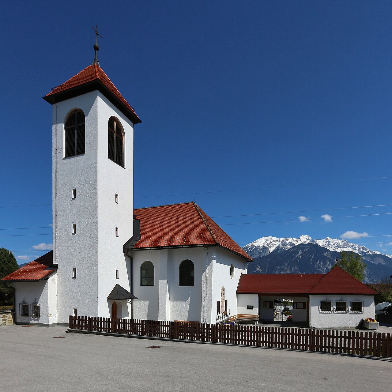
Mooskapelle in Grinzens
9.2 km away, in Grinzens
A small chapel in the meadows near Grinzens, a wayside devotional stop in the villages on the terrace southwest of Innsbruck.
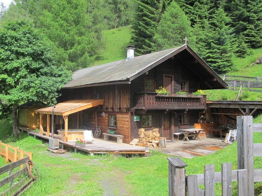
Ausserwieserhof Kaser
12.3 km away, in Neustift im Stubaital
A rustic hut, or Kaser, belonging to the Ausserwieserhof farm above Neustift, rented out as a simple mountain retreat.
Nothing of this kind in Telfes im Stubai.
Routes
Naturlehrweg Schlick 2000
A level nature trail at the Kreuzjoch top station of the Schlick 2000, with information stops on alpine habitats and a possible break at the Schlicker Alm.
- 4.0 km
- Distance
- 12 m
- Ascent
- 57 min
- Duration
- 50
- Check-ins
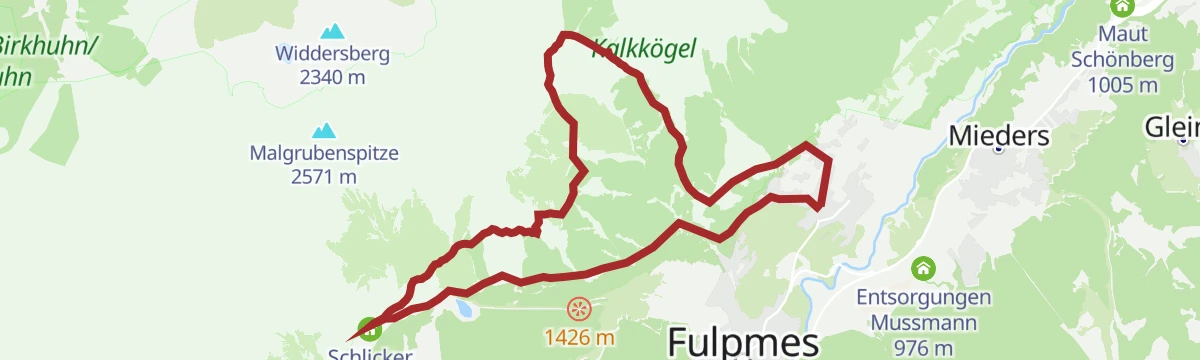
Schlicker Almenrunde
An alm-to-alm loop in the Schlick above Fulpmes, connecting the Schlicker Alm, Galtalm and Brugger Alm with a pause at the small Panoramasee.
- 8.4 km
- Distance
- 478 m
- Ascent
- 3 h 22 min
- Duration
- 44
- Check-ins
Schlicker See - Zwischen zwei Welten
From the Sennjoch beneath the Kalkkögel to the Schlicker See and over the Seejöchl, a long day moving between bare limestone crags and the green alm slopes of the Schlick.
- 15.5 km
- Distance
- 833 m
- Ascent
- 5 h 58 min
- Duration
- 98
- Check-ins
585 Almenrunde Schlick
A hut-to-hut loop in the Schlick basin above Telfes, linking the Fronebenalm, Galtalm and Schlicker Alm past the Panoramasee reservoir.
- 12.7 km
- Distance
- 730 m
- Ascent
- 1 h 57 min
- Duration
- 52
- Check-ins
562 Kreuzjoch
Over 1,100 m of climbing in under 9 km, up past the Fronebenalm and the Schlicker Alm to the pass at 2,105 m and its panorama restaurant.
- 8.7 km
- Distance
- 1 121 m
- Ascent
- 2 h 30 min
- Duration
- 68
- Check-ins
Stubai Radroute 19a
A signed valley cycle route through Telfes im Stubai, a short waymarked stage with a steady 400 m of climbing.
- 7.7 km
- Distance
- 428 m
- Ascent
- 1 h 9 min
- Duration
Scheibenweg Schlick 2000
A level family stroll in the Schlick between the Panoramasee and the Brugger Alm, with playful disc stations lining the short circuit.
- 1.5 km
- Distance
- 4 m
- Ascent
- 22 min
- Duration
- 18
- Check-ins
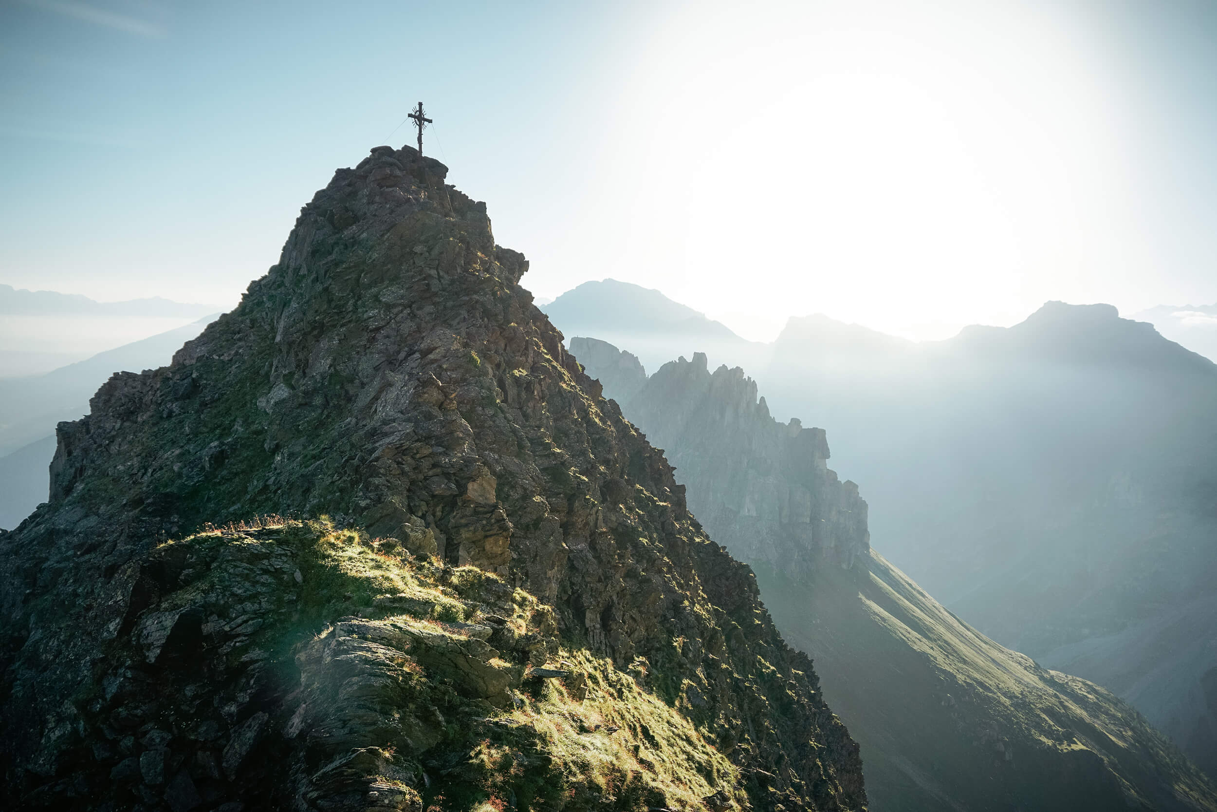
Gipfeltour Nockspitze
Summit push from the Birgitzköpflhaus onto the Saile (Nockspitze), the freestanding peak between the Axamer Lizum and the Stubai entrance — short, steady and wide-open on top.
- 3.3 km
- Distance
- 377 m
- Ascent
- 2 h 16 min
- Duration
- 36
- Check-ins
Innsbrucker Almenweg (14)
Long alm-hopping stage south-west of Innsbruck, stringing together the Mutterer, Götzner and Birgitzer Alm and the Birgitzköpflhaus over the Halsl saddle.
- 16.6 km
- Distance
- 953 m
- Ascent
- 6 h 41 min
- Duration
- 81
- Check-ins
564 Pfarrachalm
A steep climb from Telfes to the Pfarrachalm at 1,740 m, close to 800 m of ascent in barely 7 km of forest road.
- 7.0 km
- Distance
- 780 m
- Ascent
- 1 h 47 min
- Duration
- 2
- Check-ins
Stubai E-Bike Sightseeing Tour Variante 1
A valley round starting near the Europabrücke, running up the Stubaital past the Kampler See and back down the far side.
- 35.3 km
- Distance
- 926 m
- Ascent
- 4 h
- Duration
- 52
- Check-ins
Kreith-Telfer Wiesen
Easy walk from the Kreith tram stop across the Telfer Wiesen meadows, a gentle link between the Stubai valley villages.
- 5.6 km
- Distance
- 267 m
- Ascent
- 1 h 59 min
- Duration
Axamer Lizum zum Halsl und weiter zur Saile/Nockspitze
Route over the Halsl saddle onto the Saile (Nockspitze), climbing out of the ski valley to a summit with the Inn valley on one side and the Stubai on the other.
- 3.5 km
- Distance
- 817 m
- Ascent
- 4 h 29 min
- Duration
- 32
- Check-ins
Schlickeralm - Adolf Pichler Hütte
A long Kalkkögel circuit from the Schlicker Alm over the Seejöchl to the Adolf-Pichler-Hütte, returning through the rocky notch of the Schlicker Schartl.
- 16.8 km
- Distance
- 1 686 m
- Ascent
- 10 h 22 min
- Duration
- 37
- Check-ins
5071 Stockerhof
A forest-road round above Telfes im Stubai, passing the Telfer Wiesen viewpoint on the slopes above the Stubaital.
- 13.2 km
- Distance
- 507 m
- Ascent
- 1 h 39 min
- Duration
Mutterer Drei-Almen-Runde
A circuit above Mutters linking the Mutterer Alm, Raitiseralm and Kreither Alm, starting and finishing at the Muttereralm valley station.
- 23.1 km
- Distance
- 1 060 m
- Ascent
- 3 h 3 min
- Duration
- 37
- Check-ins
Telfes - Kreitheralm
Walk from Telfes across the western slope of the Stubaital to the Kreither Alm, a hut stop with views over the valley villages.
- 11.4 km
- Distance
- 665 m
- Ascent
- 4 h 39 min
- Duration
- 4
- Check-ins
Telfes - Stefansbrücke
A long, varied route from Telfes down the outer Stubai valley to the Stefansbrücke, passing the Ruetz waterworks and the arches of the Europabrücke.
- 15.6 km
- Distance
- 620 m
- Ascent
- 5 h 12 min
- Duration
- 16
- Check-ins
 Restaurant Europabrücke 914 m
 Speicher Sillkraftwerk 881 m
- Speicher Sillkraftwerk 884 m
- Wasserschloss Ruetz 880 m
- Raststätte Lanz 912 m
563 Telfer Wiesen Tour
A short mountain-bike loop out of Telfes, climbing gently to the natural viewpoint at 1,076 m before dropping back to the village.
- 9.7 km
- Distance
- 339 m
- Ascent
- 1 h 11 min
- Duration
Stubai E-Bike Sightseeing Tour Short Variante 2
A long ride through the Stubaital on valley tracks and forest roads, passing the Kampler See and the foot of the Kreuzjochbahn.
- 35.3 km
- Distance
- 906 m
- Ascent
- 3 h 59 min
- Duration
- 29
- Check-ins
Stubaier Forelle
Themed round from Telfes named after the Stubai trout, following streams and quiet paths through meadows above the valley.
- 13.4 km
- Distance
- 497 m
- Ascent
- 4 h 22 min
- Duration
Telfes - Pfarrachalm - Gloatsteig - Schlickeralm
Demanding round from Telfes via the Pfarrachalm and the narrow Gloatsteig to the Schlicker Alm beneath the Kalkkögel.
- 14.8 km
- Distance
- 1 065 m
- Ascent
- 7 h 2 min
- Duration
- 12
- Check-ins
565 Telfer Berg
A forest-road circuit on the mountainside above Telfes, reaching the Kreither Alm at 1,500 m before the run back down.
- 16.0 km
- Distance
- 714 m
- Ascent
- 2 h 6 min
- Duration
- 4
- Check-ins
Telfes - Stockerhof
Moderate loop from Telfes to the Stockerhof farm, wandering through meadows and forest fringe on the Stubaital's sunny side.
- 10.3 km
- Distance
- 399 m
- Ascent
- 3 h 24 min
- Duration
Telfes - Jochkreuz
Stiff climb from Telfes past the Pfarrachalm to the Jochkreuz, a summit cross with a wide view over the Stubai and Inn valleys.
- 13.8 km
- Distance
- 1 053 m
- Ascent
- 6 h 51 min
- Duration
- 5
- Check-ins
Rosendorf Telfes
Long circuit around Telfes, the Stubaital's rose village, combining farm lanes, forest paths and steady climbing on the sunny slope.
- 15.6 km
- Distance
- 598 m
- Ascent
- 5 h 8 min
- Duration
No routes of this kind in Telfes im Stubai yet.
The region's own picks
Featured route
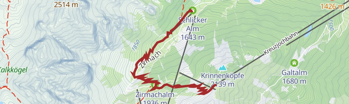
Naturlehrweg Schlick 2000
A level nature trail at the Kreuzjoch top station of the Schlick 2000, with information stops on alpine habitats and a possible break at the Schlicker Alm.
Planning a trip to Telfes im Stubai?
Everything else Tyrol has, in one place


Take Telfes im Stubai with you into the mountains
Every route on this page with 3D terrain, GPX navigation and offline maps — including the valleys with no signal.
Data sources
- Official website: stubai.at ↗
- Routes and highlights: Tourismusverband Stubai Tirol, Innsbruck Tourismus
- Published as open data by the tourist boards named above.
- Region summary generated from the board's own material.
