
Curated by Vorarlberg Tourismus
Sulzberg
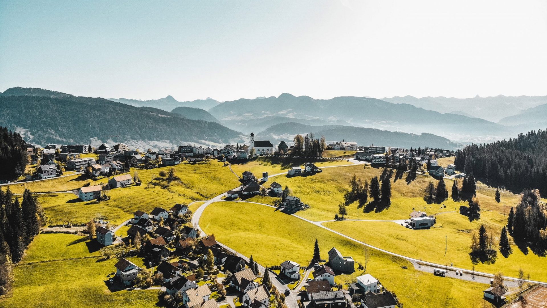
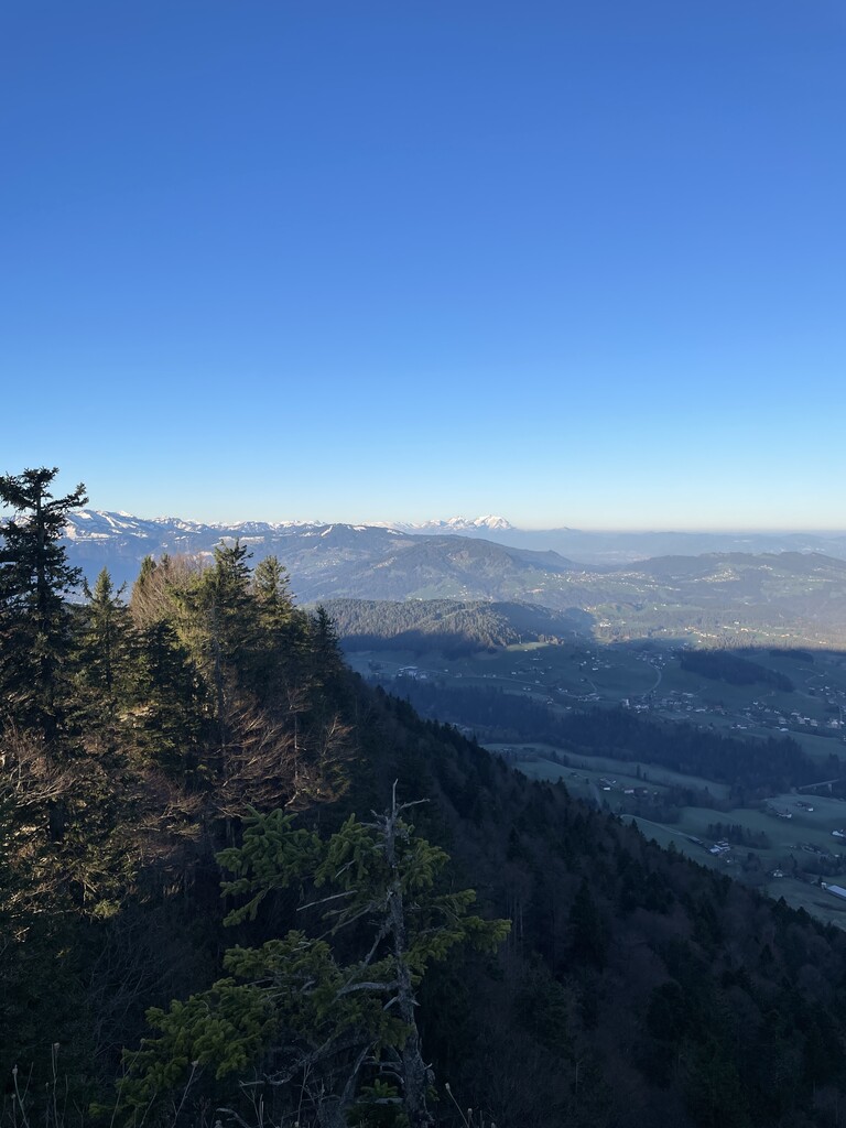
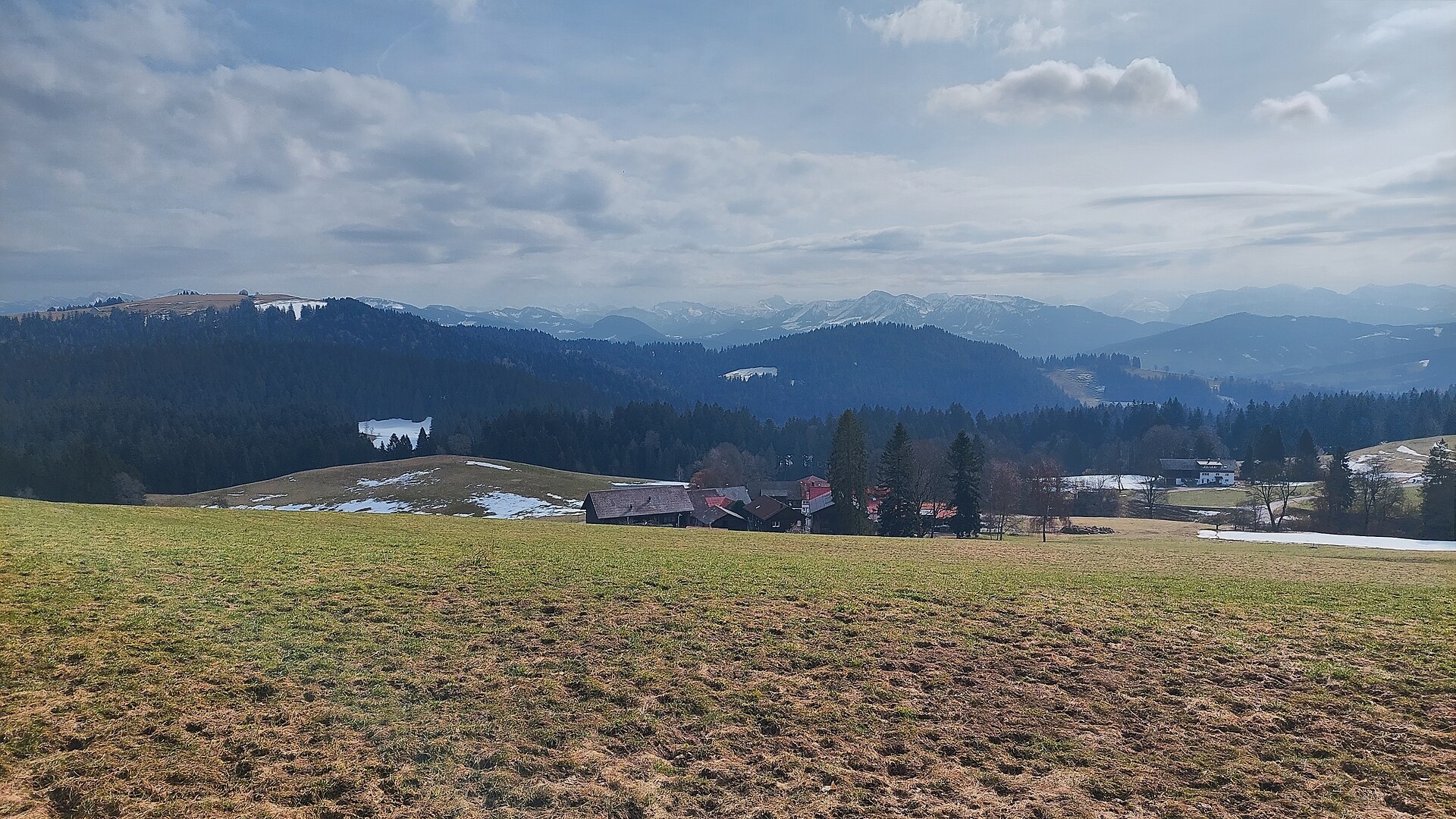
On a plateau near 1,000 m looking over the Bregenzerwald to Lake Constance, with a rare Empire-style church.
Photo: Janik Vith
- 3Highlights
- 21Routes
Highlights
12 from neighbouring places
Sulzberg | Moorbad Oberköhler
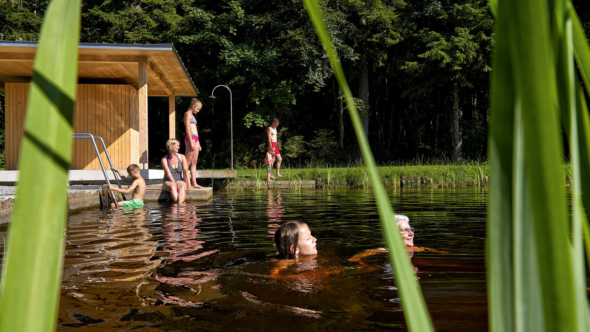
A moor bath on the belt of bog with its rare flora that runs for kilometres along the ridge north of the village.
Baukultur in Sulzberg
The building heritage of Sulzberg and Thal, from the Empire-style church designed by Alois Negrelli onwards.
Gasthof Alpenblick
An inn on the plateau half a kilometre south-west of the village square, looking out over the Bregenzerwald.
PeakVisor / OpenStreetMapRiefensberg – 3D Bogenparcours
3.9 km away, in Riefensberg
A 3D archery course laid out through the woods, shot at animal targets along a walking circuit.
Unser KleinWien
4.5 km away, in Doren
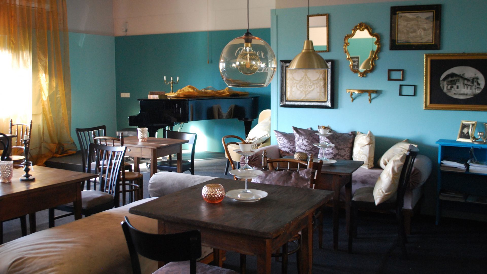
A disused bakery in the middle of the village, bought by the municipality and given a new use.
Juppenwerkstatt Riefensberg
4.6 km away, in Riefensberg
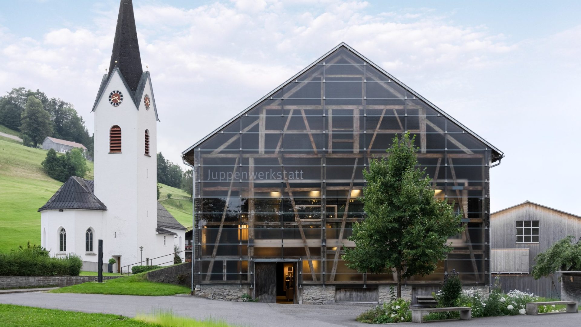
The workshop where the Bregenzerwald Juppe is made; making and wearing it entered Austria's intangible heritage list in 2021.
 Natural feature Feel free to use my photos, but please mention me as the author and if you want send me a message. or (rufre@lenz-nenning.at) · CC BY-SA 3.0 at
Roßbad
5.3 km away, in Krumbach
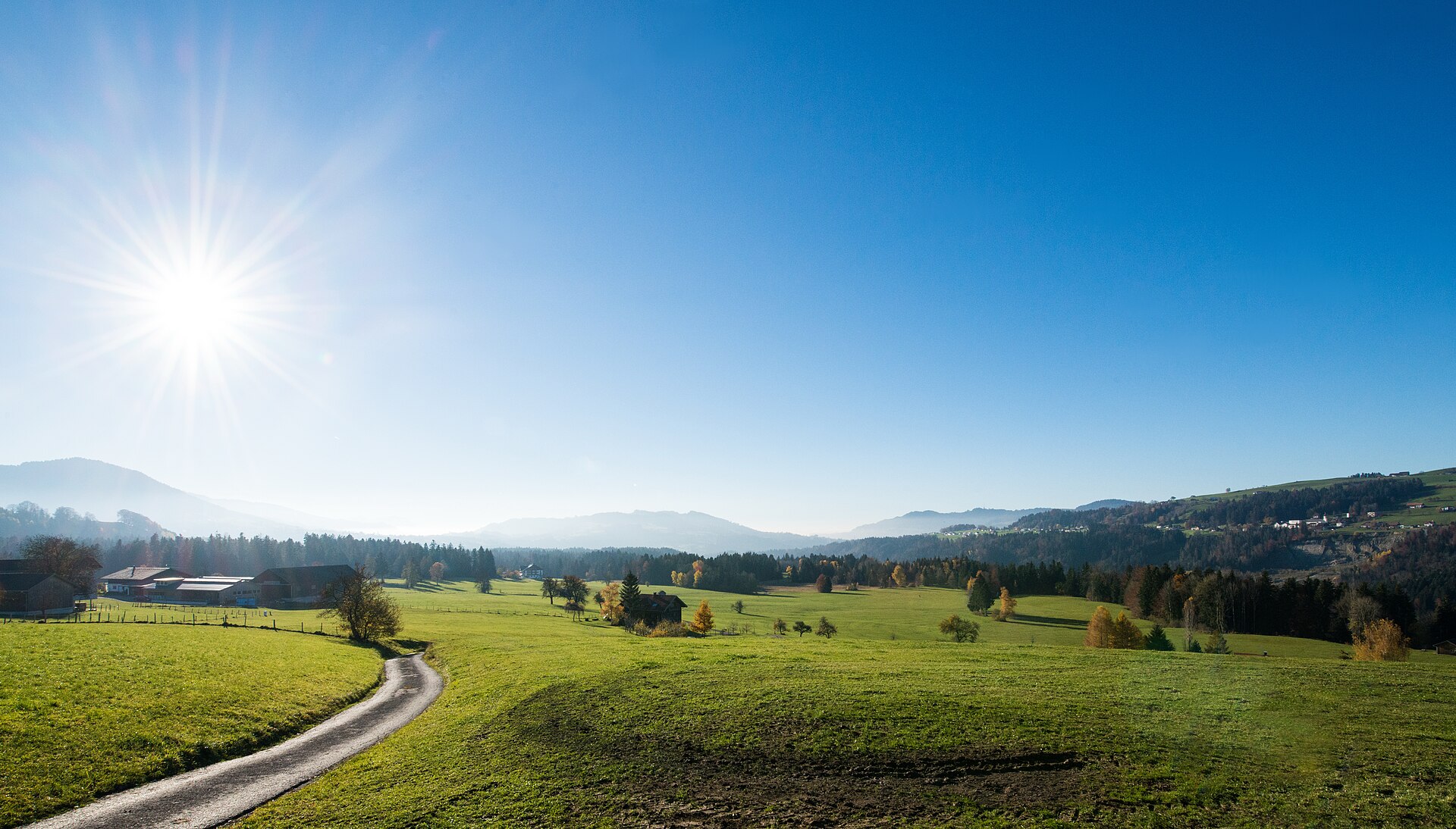
A nature reserve of 103 hectares at about 660 m in the west of the municipality.
PeakVisor / OpenStreetMapMarienkapelle
5.6 km away, in Riefensberg
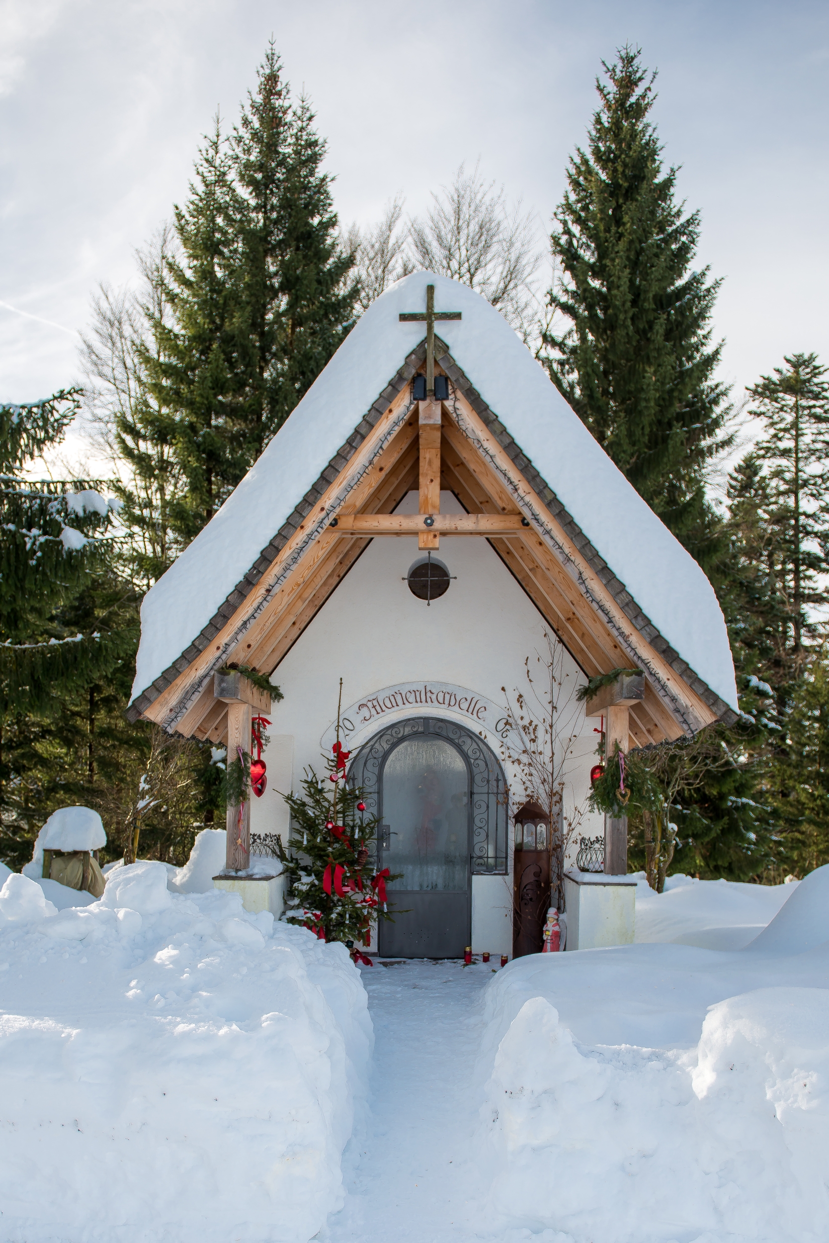
A wayside chapel a kilometre and a half east of the village, on the path towards the Steinernes Tor.
PeakVisor / OpenStreetMapKojenstein
5.9 km away, in Riefensberg
The village's own mountain at 1,300 m, a little over a kilometre south-east of the centre.
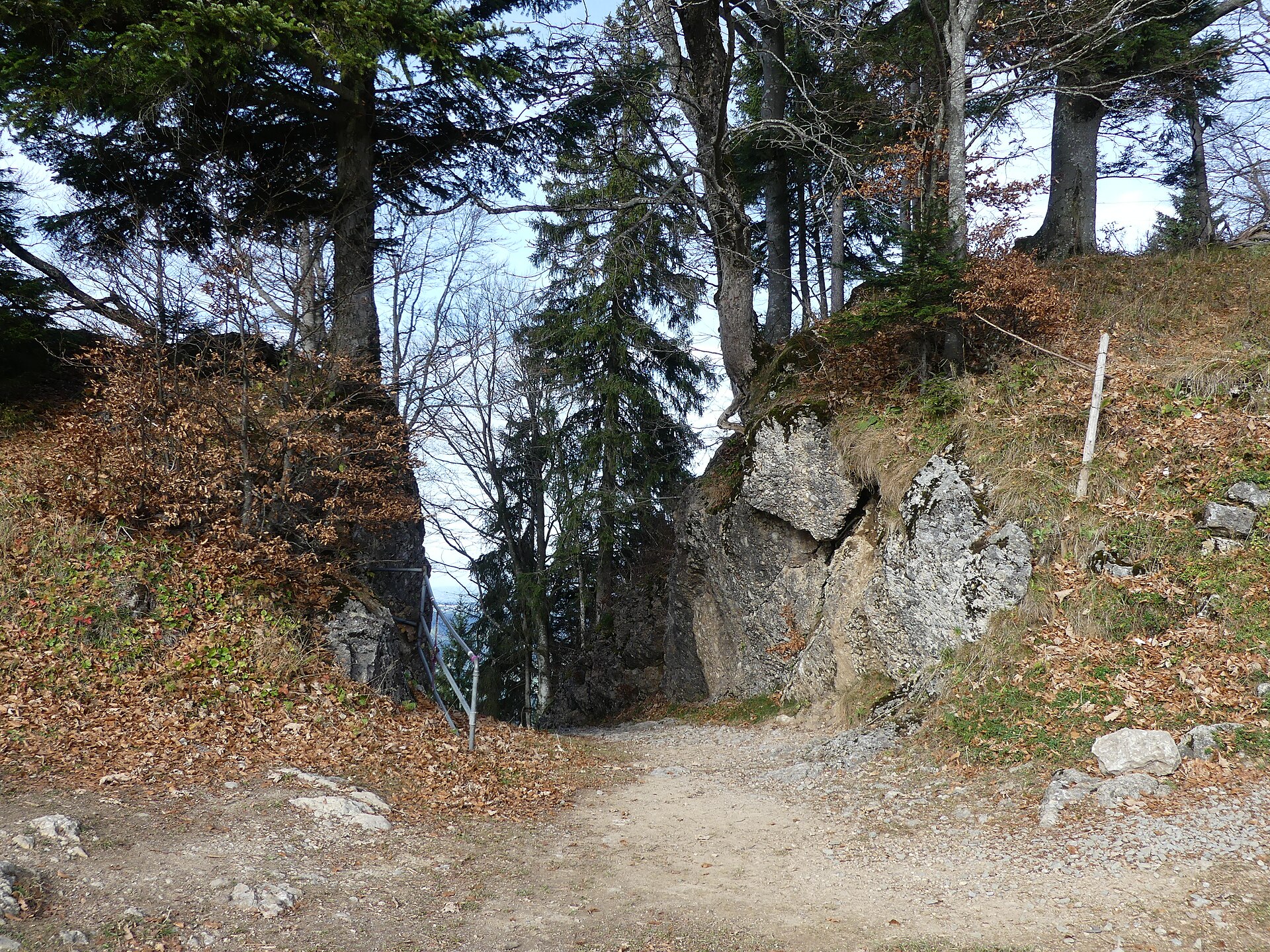
Steinernes Tor
6.3 km away, in Riefensberg
A rock arch on the way up from the village to the Kojenstein, and a lookout in its own right.
PeakVisor / OpenStreetMapKojen-Moos
6.7 km away, in Riefensberg
A protected bog on the high ground below the Kojen, crossed by the ridge path from the village.
PeakVisor / OpenStreetMapHirschberg
6.7 km away, in Langen bei Bregenz
A 1,095 m top a kilometre north-west of the village, on the southern ridge of the Pfänder.
Hennenmoos
7 km away, in Riefensberg
A lift on the Hochhäderich side of the municipality, two and a half kilometres south-east of the village.
Skigebiet Hochhäderich Riefensberg
7.2 km away, in Riefensberg
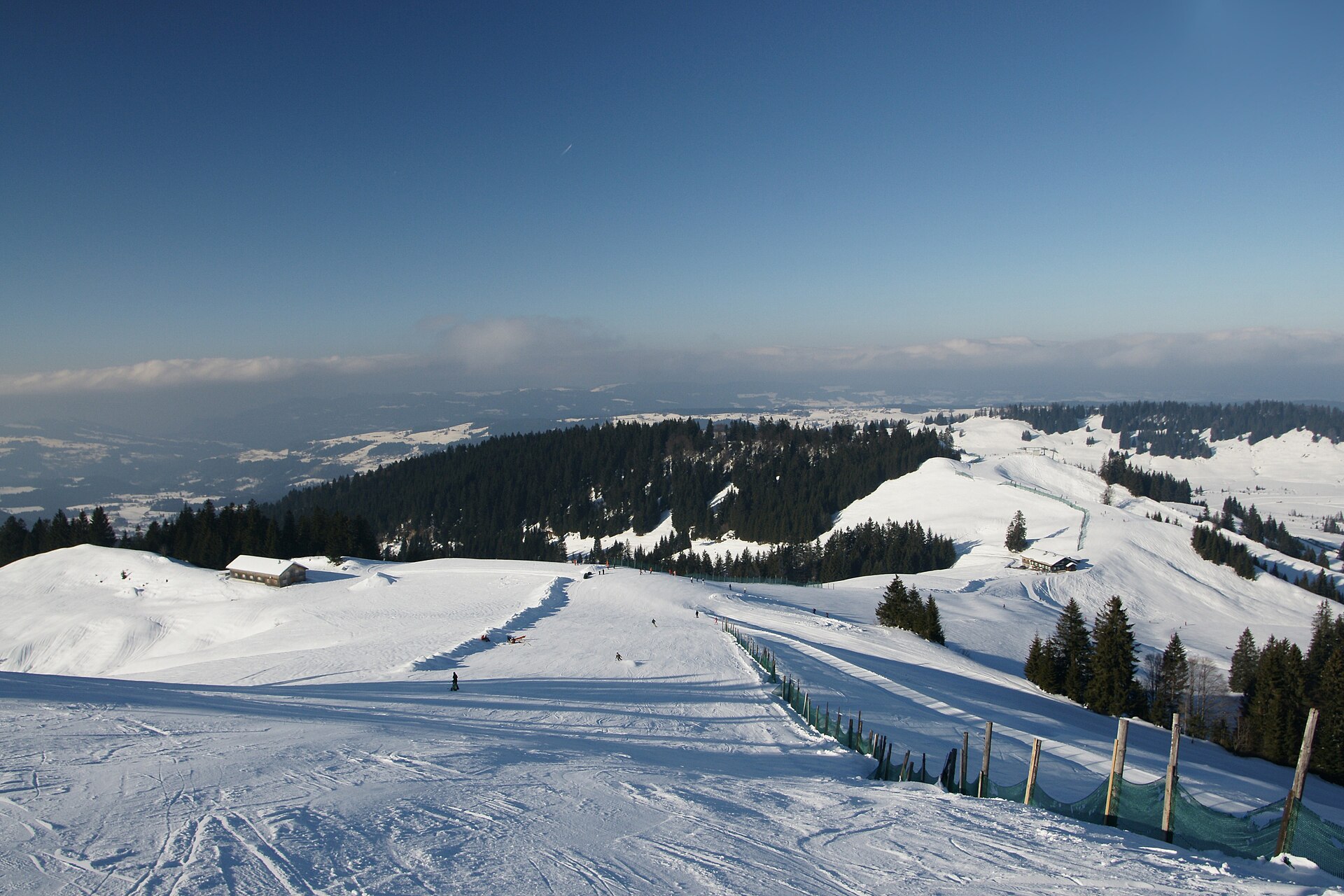
The Alpenarena on the Hochhäderich, used by downhill skiers and cross-country skiers alike.
Geserberg
7.9 km away, in Langen bei Bregenz
A mountain flank on the south-western spur of the Hirschberg, its high point at 939 m, part of the Pfänder ridge.
 Historic site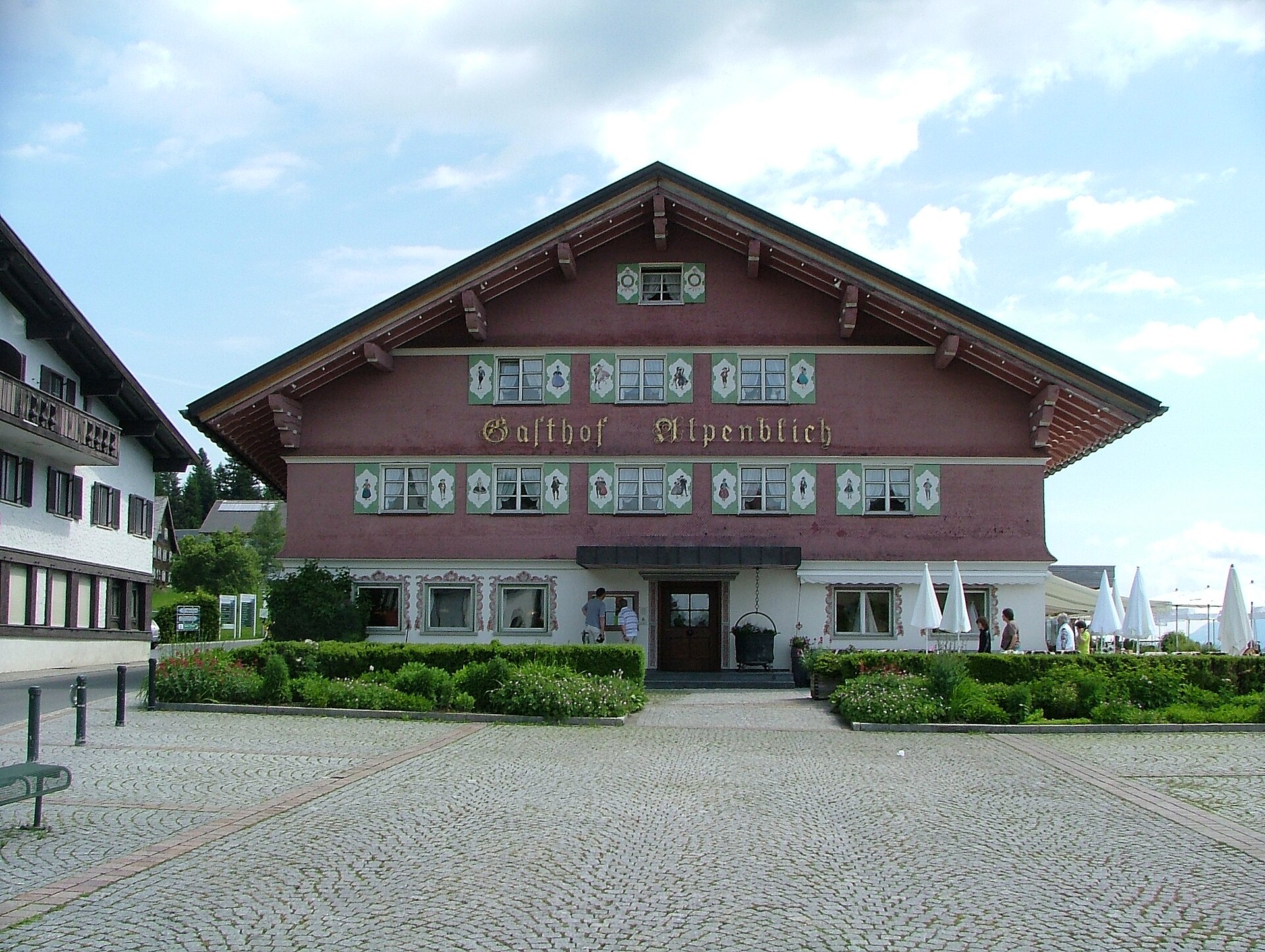
 Mountain hut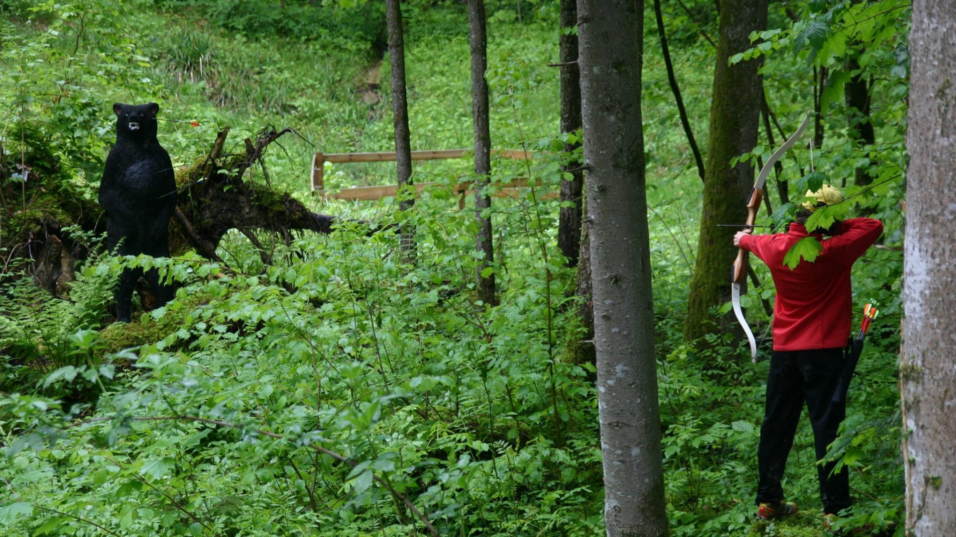
 Viewpoint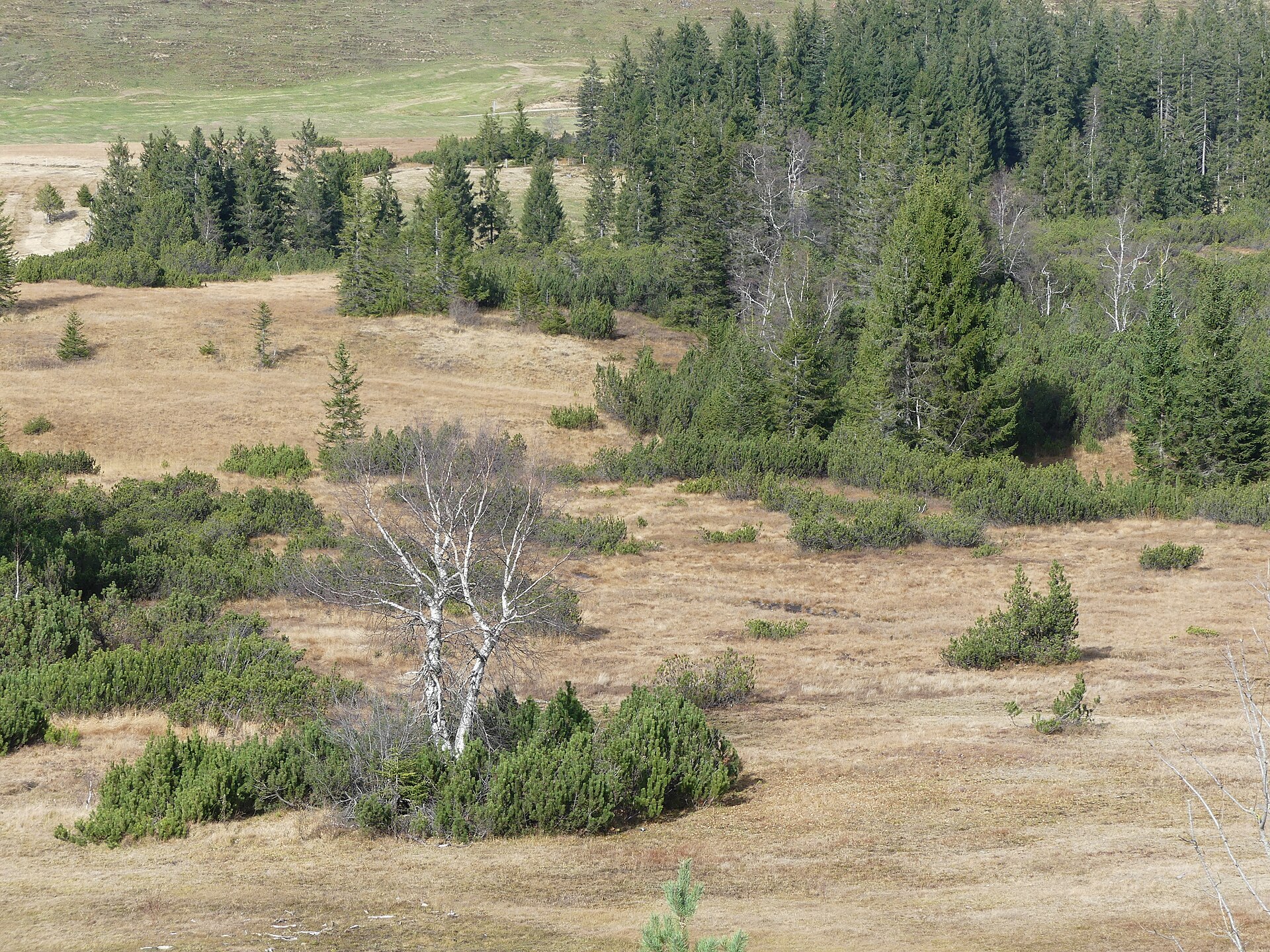
 Cable car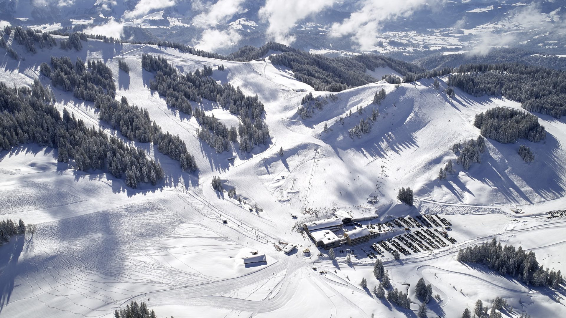
Nothing of this kind in Sulzberg.
Routes
Sulzberg | Baukultur Rundgang Sulzberg
A village circuit following the building culture of Sulzberg, whose chosen houses tell how the place grew.
- 4.4 km
- Distance
- 86 m
- Ascent
- 1 h 15 min
- Duration
Open route Vorarlberg TourismusMin Weag 03 | Sulzberg – Hochhäderich
A half-day Min Weag stage over the green hills of the outer Bregenzerwald, by a historic bridge and the Steinernes Tor.
- 12.2 km
- Distance
- 698 m
- Ascent
- 4 h 30 min
- Duration
Open route Vorarlberg TourismusHittisau | von Hittisau nach Sulzberg
Down to the Bolgenach and up the far side through mixed woodland to the plateau village of Sulzberg.
- 16.5 km
- Distance
- 1 101 m
- Ascent
- 6 h 60 min
- Duration
Open route Vorarlberg TourismusSulzberg | Radtour Sonnseite über Doren
A ride from the Sulzberg village square past the St Leonhard chapel to Doren, returning on the sunny side.
- 13.5 km
- Distance
- 327 m
- Ascent
- 1 h 31 min
- Duration
Open route Vorarlberg TourismusSulzberg | Rundtour Sonnseite über Riefensberg
A ride from Sulzberg over the sunny side to Riefensberg, crossing the Weißach that divides the two villages twice.
- 18.4 km
- Distance
- 530 m
- Ascent
- 2 h 8 min
- Duration
Open route Vorarlberg TourismusSulzberg | Baukultur Rundgang Thal
The Thal half of the building-culture circuit, reading the village through the houses that shaped it.
- 2.5 km
- Distance
- 33 m
- Ascent
- 39 min
- Duration
Open route Vorarlberg TourismusSulzberg | Rundweg Eibelesmühle
A round from the village centre by Lindengschwend and the Gullenbach to the Eibelesee and the Hermannsberg.
- 10.1 km
- Distance
- 370 m
- Ascent
- 3 h 17 min
- Duration
Open route Vorarlberg TourismusKäseweg Bregenzerwald | Sulzberg – Hittisau (1. Etappe)
The first stage of the Käseweg, a cheese-makers' route linking the alps and dairies between Sulzberg and Hittisau.
- 16.5 km
- Distance
- 879 m
- Ascent
- 6 h 44 min
- Duration
Open route Vorarlberg TourismusSulzberg-Thal | Mit dem Rad von Thal nach Lindenberg (über Weiler und Röthenbach)
A cross-border ride from Thal to Weiler and Lindenberg in the Allgäu, returning by Scheidegg and Scheffau.
- 35.0 km
- Distance
- 342 m
- Ascent
- 3 h 25 min
- Duration
Open route Vorarlberg TourismusSulzberg | Grenzerpfad
A cross-border family round between Sulzberg and Oberreute, with ten stations on the habitats along the way.
- 4.7 km
- Distance
- 66 m
- Ascent
- 1 h 17 min
- Duration
Open route Vorarlberg TourismusSulzberg | Von Sulzberg nach Doren
A round along the Sulzberg ridge to Doren, with the view open over the outer Bregenzerwald for most of the way.
- 10.8 km
- Distance
- 362 m
- Ascent
- 3 h 26 min
- Duration
Open route Vorarlberg TourismusMin Weag 02 | Pfänder/Moosegg – Sulzberg
A Min Weag stage high above Lake Constance through wood and field to an alp, then over meadows to Sulzberg.
- 16.7 km
- Distance
- 712 m
- Ascent
- 5 h 40 min
- Duration
Open route Vorarlberg TourismusSulzberg | Panoramarundweg Hochsträss
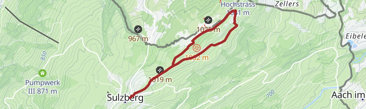
An unhurried panorama round above 1,000 m into the soft hill country of the outer Bregenzerwald, returning through wood.
- 5.5 km
- Distance
- 81 m
- Ascent
- 1 h 29 min
- Duration
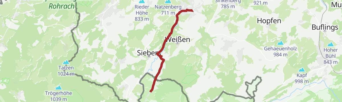
Open route Vorarlberg TourismusSulzberg-Thal | Siebers-Runde
A gentle round through the Rothach valley on field and forest tracks, manageable without much training.
- 7.5 km
- Distance
- 104 m
- Ascent
- 2 h 1 min
- Duration
Open route Vorarlberg TourismusSulzberg | Panoramaweg mit Fitnessparcours
A round with a nature trail through the moorland of Sulzberg, past a small bog lake and a water-treading basin.
- 5.4 km
- Distance
- 40 m
- Ascent
- 1 h 22 min
- Duration
Open route Vorarlberg TourismusSulzberg-Thal | Vom Thal nach Weiler im Allgäu
A cross-border path along the Rotach to Weiler im Allgäu, crossing the stream by a succession of small bridges.
- 13.2 km
- Distance
- 85 m
- Ascent
- 3 h 18 min
- Duration
Open route Vorarlberg TourismusSulzberg | von Sulzberg nach Riefensberg
A descending walk from the Sulzberg village square along the sunny side to Riefensberg, on meadow and forest ways.
- 6.5 km
- Distance
- 186 m
- Ascent
- 2 h 13 min
- Duration
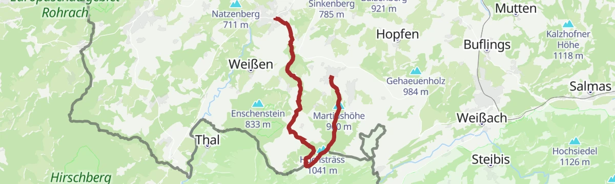
Open route Vorarlberg TourismusSulzberg-Thal | Von Thal nach Sulzberg über Schönenbühl
A steady climb from the valley village of Thal by the Martinsbrücke and Schönenbühl up to the plateau at Sulzberg.
- 6.2 km
- Distance
- 476 m
- Ascent
- 2 h 20 min
- Duration
Open route Vorarlberg TourismusSulzberg-Thal | Die Schützenrunde
A very short round in the valley hamlet of Thal, below the Sulzberg plateau.
- 1.7 km
- Distance
- 38 m
- Ascent
- 30 min
- Duration
Open route Vorarlberg TourismusWasserläufer Route der Wandertrilogie Allgäu – Etappe 16 – Oberreute – Weiler-Simmerberg
An Allgäu Wandertrilogie stage from Oberreute to Weiler-Simmerberg, past bog, springs and old smugglers' ground.
- 11.9 km
- Distance
- 213 m
- Ascent
- 3 h 31 min
- Duration
Open route Vorarlberg TourismusSulzberg-Thal | Rotachweg
A short round along the Rotach in Thal, well used from March to November and easy with children or a dog.
- 2.7 km
- Distance
- 42 m
- Ascent
- 44 min
- Duration
Open route Vorarlberg Tourismus







No routes of this kind in Sulzberg yet.
Planning a trip to Sulzberg?
Everything else Vorarlberg has, in one place


Take Sulzberg with you into the mountains
Every route on this page with 3D terrain, GPX navigation and offline maps — including the valleys with no signal.
Data sources
- Official website: bregenzerwald.at ↗
- Routes and highlights: Vorarlberg Tourismus, PeakVisor / OpenStreetMap, Bregenzerwald Tourismus
- Published as open data by the tourist boards named above.
