

 Historic site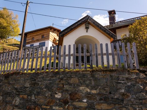




Curated by TVB Paznaun-Ischgl
Strengen
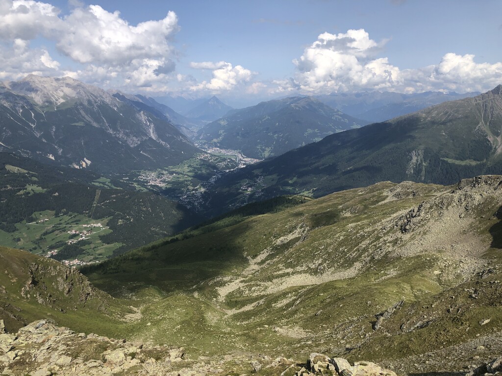
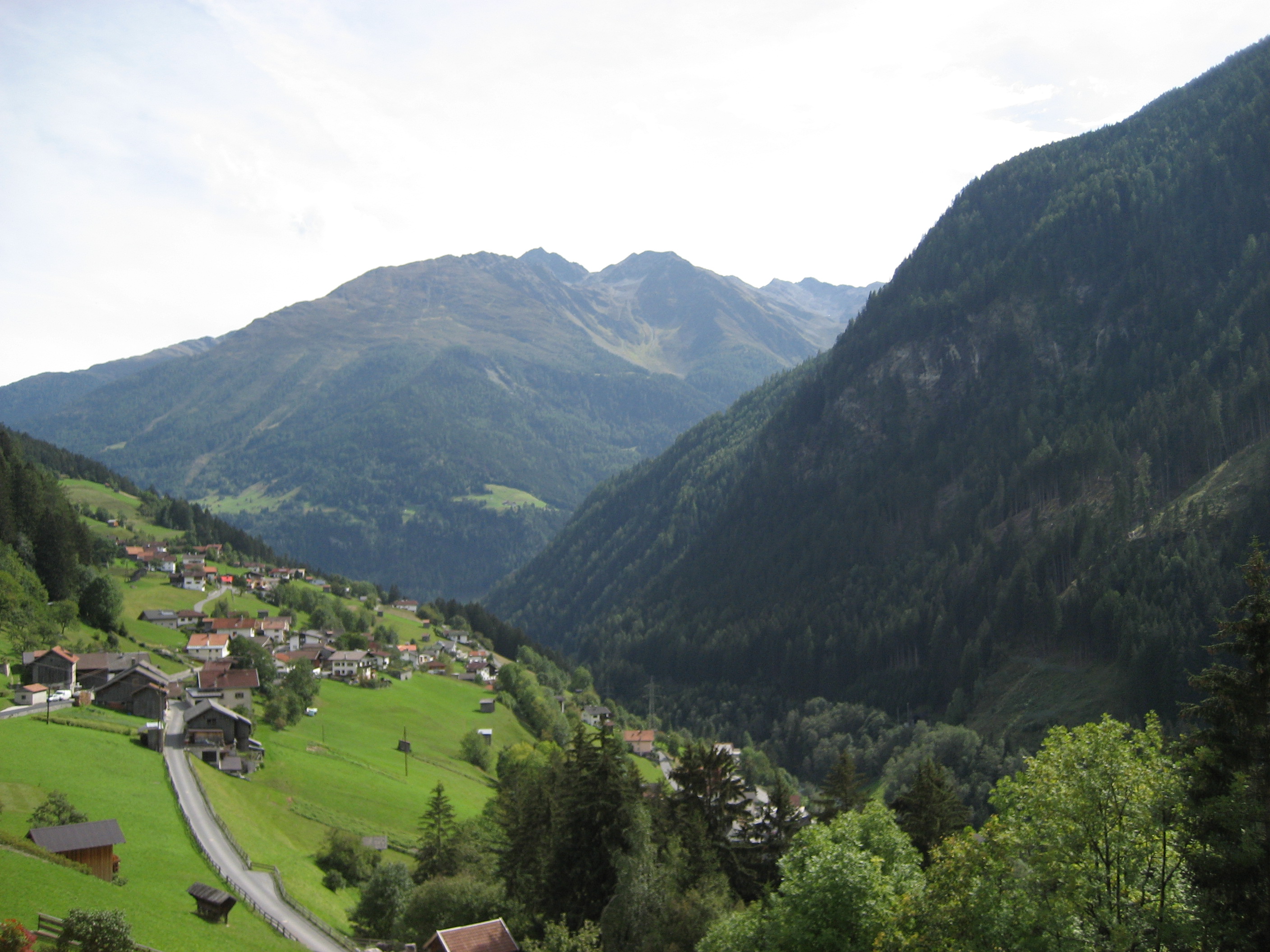
A village on the steep step of the Stanzer valley between Landeck and the Arlberg, with alps like the Dawin pastures high above the Rosanna.
- 15Highlights
- 13Routes
- Featured summit · Pezinerspitze
Highlights
All 15 from neighbouring places
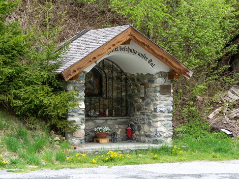
Gföllkapelle
3.5 km away, in Tobadill
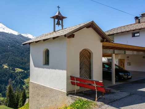
A small chapel at Gföll on the slopes above See in the lower Paznaun valley, reached by farm lanes and walking paths.
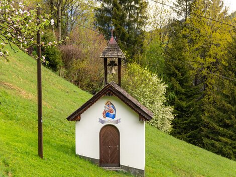
Marienkapelle in Rauth
3.6 km away, in Kappl
A Marian chapel in the hamlet of Rauth above See, part of the dense network of small chapels along the Paznaun's old farm paths.
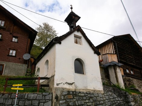
Kapelle in Glitt
3.8 km away, in Kappl
A small chapel in Glitt, a hamlet on the mountainside above See, reached by the narrow lanes of the lower Paznaun valley.
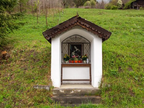
Wegkapelle in Seiche
4 km away, in Kappl
A wayside chapel at Seiche above See in the Paznaun valley, a small devotional marker on the old paths between the hamlets.
Unteres Kappali in Quadratsch
4.1 km away, in Grins
The lower of two small chapels in Quadratsch, a hamlet above Pians at the mouth of the Paznaun valley; 'Kappali' is Paznaun dialect for chapel.
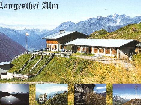
Langesthei Alpe
4.5 km away, in Kappl
An alpine pasture above the hamlet of Langesthei near Kappl, reached on foot through the side valleys of the Paznaun and worked as a summer grazing station.
Marienkapelle in Glittstein
4.5 km away, in Kappl
A chapel dedicated to Mary in Glittstein, one of the scattered hamlets on the slopes above See in the Paznaun valley.
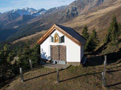
Josefskapelle Langestheier Alm
4.5 km away, in Kappl
A chapel of St. Joseph on the Langestheier Alm, the pasture above the hamlet of Langesthei near Kappl, used during the alpine summer.
Gondakappali
4.6 km away, in Tobadill
A tiny chapel at Gonda near Pians in the lower Paznaun valley, typical of the small dialect-named 'Kappali' found beside farmsteads here.
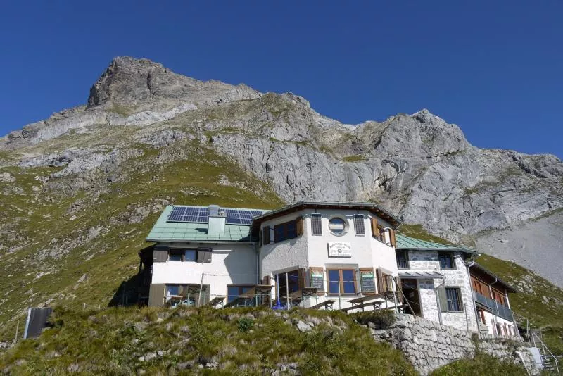
Augsburger Hütte 2.298 m
4.8 km away, in Grins
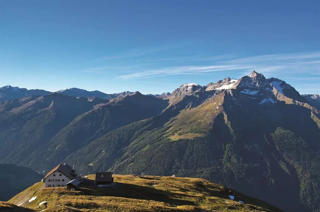
An alpine club refuge at 2,298 m above Grins, the base for the Parseierspitze, at 3,036 m the highest summit of the Lechtal Alps.
Antoniuskapelle in Gries
5.1 km away, in Kappl
A chapel of St. Anthony in the hamlet of Gries near See, a compact devotional building in the lower Paznaun valley.
Kapelle in Schrofen
5.3 km away, in Kappl
A small chapel in the hamlet of Schrofen in the Paznaun valley, its name referring to the rocky ground on which these settlements sit.
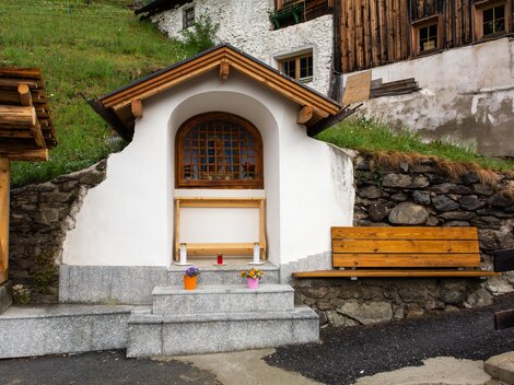
Bildstock Innerlangesthei
5.6 km away, in Kappl
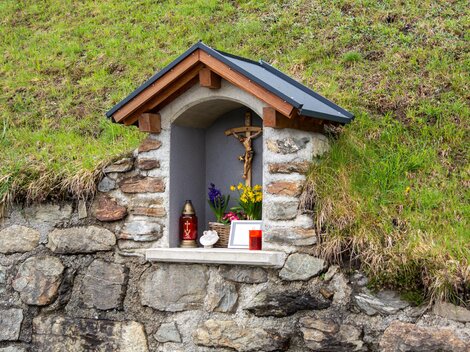
A wayside shrine in Innerlangesthei, a scattered hamlet on the slope above the Paznaun valley near Kappl.
Wegkapelle in Außerlangesthei
5.6 km away, in Kappl
A wayside chapel in Außerlangesthei, the outer part of the hamlet of Langesthei above the Paznaun valley near Kappl.
Ansbacherhütte 2.376 m
5.7 km away, in Flirsch
A refuge at 2,376 m on the Lechtaler Höhenweg high route, reached from the Stanzertal side near Grins and serving regional dishes.
Nothing of this kind in Strengen.
Routes
Strengen - Dawinalpe
A steady 800 m climb from Strengen to the Dawinalm pastures, a straightforward alp hike at the quiet lower end of the Stanzertal.
- 6.4 km
- Distance
- 813 m
- Ascent
- 4 h 48 min
- Duration
- 1
- Check-ins
Jakobsweg - Strengen -Flirsch – Schnann – Pettneu – St. Jakob – St. Anton - Mooserweg - St. Christoph (Umleitung Zintlkopf)
A 29 km pilgrimage stage through the Stanzertal villages — Strengen, Flirsch, Schnann, Pettneu and St. Jakob — before climbing via the Mooserweg to St. Christoph; a diversion currently avoids the Zintlkopf.
- 29.8 km
- Distance
- 1 582 m
- Ascent
- 11 h 22 min
- Duration
- 68
- Check-ins
St. Anton - Kaunertaler Gletscher - St. Anton
A 104 km road ride from the Arlberg across to the Kaunertal and up the glacier road to 2,750 m, over 4,000 m of climbing in the day.
- 156.4 km
- Distance
- 4 157 m
- Ascent
- 17 h 48 min
- Duration
- 86
- Check-ins
Flirsch - Egger Weiher - Strengen
A valley-side walk from Flirsch past the small Egger Weiher ponds down the Stanzertal to Strengen, moderate going on forest and meadow paths.
- 7.4 km
- Distance
- 336 m
- Ascent
- 2 h 34 min
- Duration
 Kleiner Egger Weiher 1 377 m
- Egger Weiher 1 378 m
Etappe 9: Königsetappe
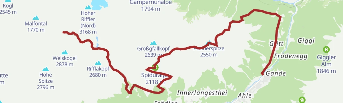
Crowning stage of the Paznaun high route: 22 km from the Edmund-Graf-Hütte over the Kapplerjoch and the Pezinerspitze, past the Lichtsee and remote hunting huts.
- 22.3 km
- Distance
- 1 182 m
- Ascent
- 8 h 30 min
- Duration
- 8
- Check-ins
St. Anton - Landeck - Pians - Tobadill - St. Anton
A long road loop from the Arlberg down the Stanzertal to Landeck and back up, with the climbing saved for the return.
- 60.4 km
- Distance
- 1 430 m
- Ascent
- 6 h 42 min
- Duration
- 39
- Check-ins
S.10.: Pezinerspitze
The biggest round in See's numbered network — over 20 km and 1,500 m of climbing to the Pezinerspitze, passing the Neue Langestheialpe on the way.
- 20.4 km
- Distance
- 1 530 m
- Ascent
- 10 h
- Duration
- 7
- Check-ins
St. Anton - Strenger Berg - Strengen - St. Anton
A road circuit starting in St. Anton am Arlberg, losing height down the valley before a long climb back up to the village.
- 43.1 km
- Distance
- 973 m
- Ascent
- 4 h 45 min
- Duration
- 39
- Check-ins
Strengen - Großgfallalm
A relentless climb from Strengen to the Großgfall alp, gaining about 1,000 m in little more than 5 km — short, steep and quiet.
- 5.4 km
- Distance
- 1 007 m
- Ascent
- 5 h 39 min
- Duration
Bike & Hike Flirsch - Strengen - Dawinalm - Grosser See - Flirscher Skihütte - Flirsch
A climb on the alm road above the Stanzertal to the huts at around 1,850 m, with a walk on to the lake and viewpoint at 2,010 m.
- 25.1 km
- Distance
- 1 224 m
- Ascent
- 3 h 26 min
- Duration
- 2
- Check-ins
Strengen - Kleingfallalm
A steep, direct route from Strengen to the Kleingfall alp, nearly 1,000 m of climbing packed into a short forest ascent.
- 5.3 km
- Distance
- 952 m
- Ascent
- 5 h 22 min
- Duration
Bike & Hike Strengen - Dawinalm - Strenger Skihütte - Grosser See
A steep climb out of Strengen to the Dawinalm and the Strenger Skihütte, with the Dawin Gratl viewpoint and a lake just above 2,000 m.
- 19.2 km
- Distance
- 1 030 m
- Ascent
- 2 h 48 min
- Duration
- 2
- Check-ins
- Großer See 2 009 m
 Dawinalm 1 820 m
- Strenger Skihütte 1 819 m
Arlberg Runde
A 67.7 km ride from Landeck through the Stanzertal villages to St. Anton, returning along the Rosanna on a mostly downhill road.
- 55.4 km
- Distance
- 591 m
- Ascent
- 5 h 28 min
- Duration
Open route Tirol Werbung
No routes of this kind in Strengen yet.
The region's own picks
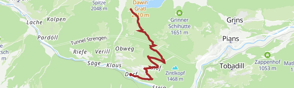
Featured route
Strengen - Dawinalpe
A steady 800 m climb from Strengen to the Dawinalm pastures, a straightforward alp hike at the quiet lower end of the Stanzertal.
Planning a trip to Strengen?
Everything else Tyrol has, in one place


Take Strengen with you into the mountains
Every route on this page with 3D terrain, GPX navigation and offline maps — including the valleys with no signal.
Data sources
- Official website: stantonamarlberg.com ↗
- Routes and highlights: TVB Paznaun-Ischgl, St. Anton am Arlberg, Lechtal Tourismus, Tirol Werbung
- Published as open data by the tourist boards named above.
- Region summary generated from the board's own material.
