
Curated by Osttirol Tourismus
Strassen
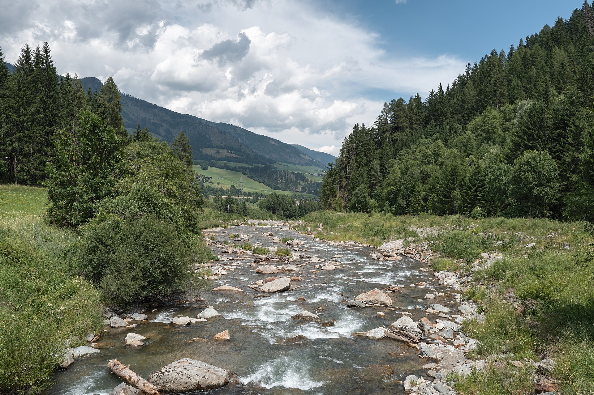
A Pustertal village where the valley floor widens at Tassenbach and its reservoir, midway between Sillian and the Lienz basin.
- 15Highlights
- 7Routes
- Featured summit · Dorf Berg
Highlights
All 15 from neighbouring places
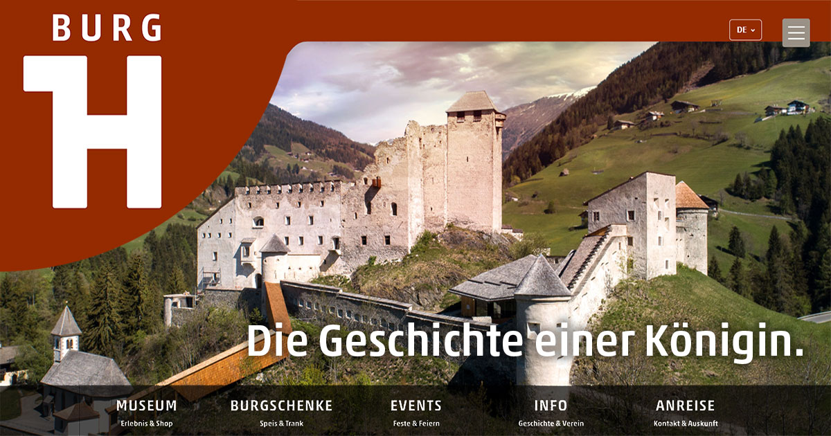
Burg Heinfels
3.4 km away, in Heinfels
A medieval castle above the Pustertal at Heinfels, reopened after restoration with exhibitions on the fortress and the region's history.
Außermitterwurzen
5.6 km away, in Außervillgraten
A remote alm hut above Außervillgraten, its name placing it among the Wurzen pasture holdings of the Villgraten mountains.
Rehblickhütte
6 km away, in Außervillgraten
A hut above Außervillgraten whose name means deer view, a quiet base in the Villgraten mountains.
Lehenalm
6.2 km away, in Außervillgraten
An alm hut in the pastures above Außervillgraten, a plain summer building of the Villgraten mountains.
Lanzer Obheimat
7.7 km away, in Außervillgraten
A mountain hut above Außervillgraten whose name points to a farm's upper summer holding in the Villgraten mountains.
Die Brandalm
8.3 km away, in Außervillgraten
An alm hut above Außervillgraten in the Villgraten valley, run through the summer season as a stop for walkers.
Geiregg-Alm
10.1 km away, in Außervillgraten
An alm hut in the grazing country above Außervillgraten, reached on foot through the Villgraten valley's slopes.
Oberkoflalm
12.7 km away, in Außervillgraten
An alm hut on the slopes above Außervillgraten, reached by farm tracks through the Villgraten grazing country.
Riedlkaser
4.9 km away, in Sillian
A small alm dairy hut, or Kaser, belonging to the Riedlhof above Sillian in the Hochpustertal.
Anraser Pfleghaus
5.9 km away, in Anras
A former court and administrative house of the bishops of Brixen at Anras, now a museum on the history of the Pustertal village.
Oberhoferalm Steidl
9.7 km away, in Innervillgraten
A family-run alm hut above Innervillgraten, part of the Villgraten valley's living tradition of high-pasture farming.
Almhütte Thaletalm
10.5 km away, in Innervillgraten
An alm hut in the Thaletal pastures above Innervillgraten, a rustic base in the Villgraten mountains.
Almhütte Thalefeld - Lanser Erwin
10.8 km away, in Innervillgraten
A privately owned alm hut on the Thalefeld pastures above Innervillgraten, typical of the valley's scattered summer huts.
Gissekammer
10.8 km away, in Innervillgraten
A traditional hut in the high meadows above Innervillgraten, one of the many small alm buildings of the Villgraten valley.
Almhütte SCHMIDHOFALM
11 km away, in Innervillgraten
The alm hut of the Schmidhof farm above Innervillgraten, occupied through the summer grazing months.
 Historic site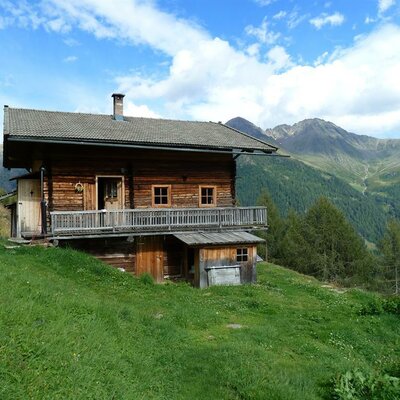
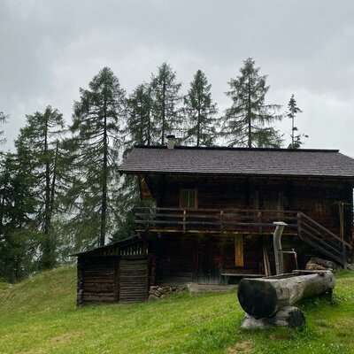
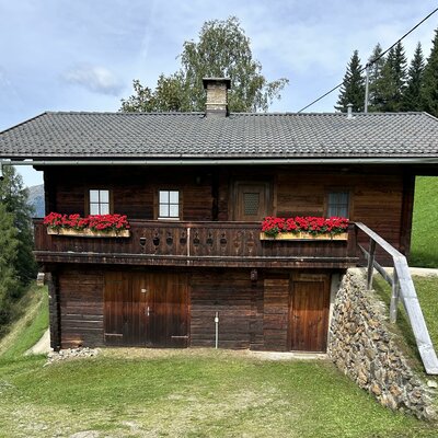
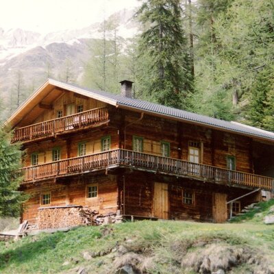
 Mountain hut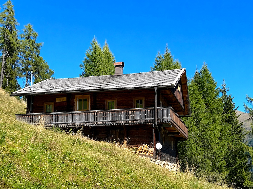
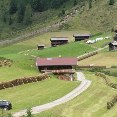
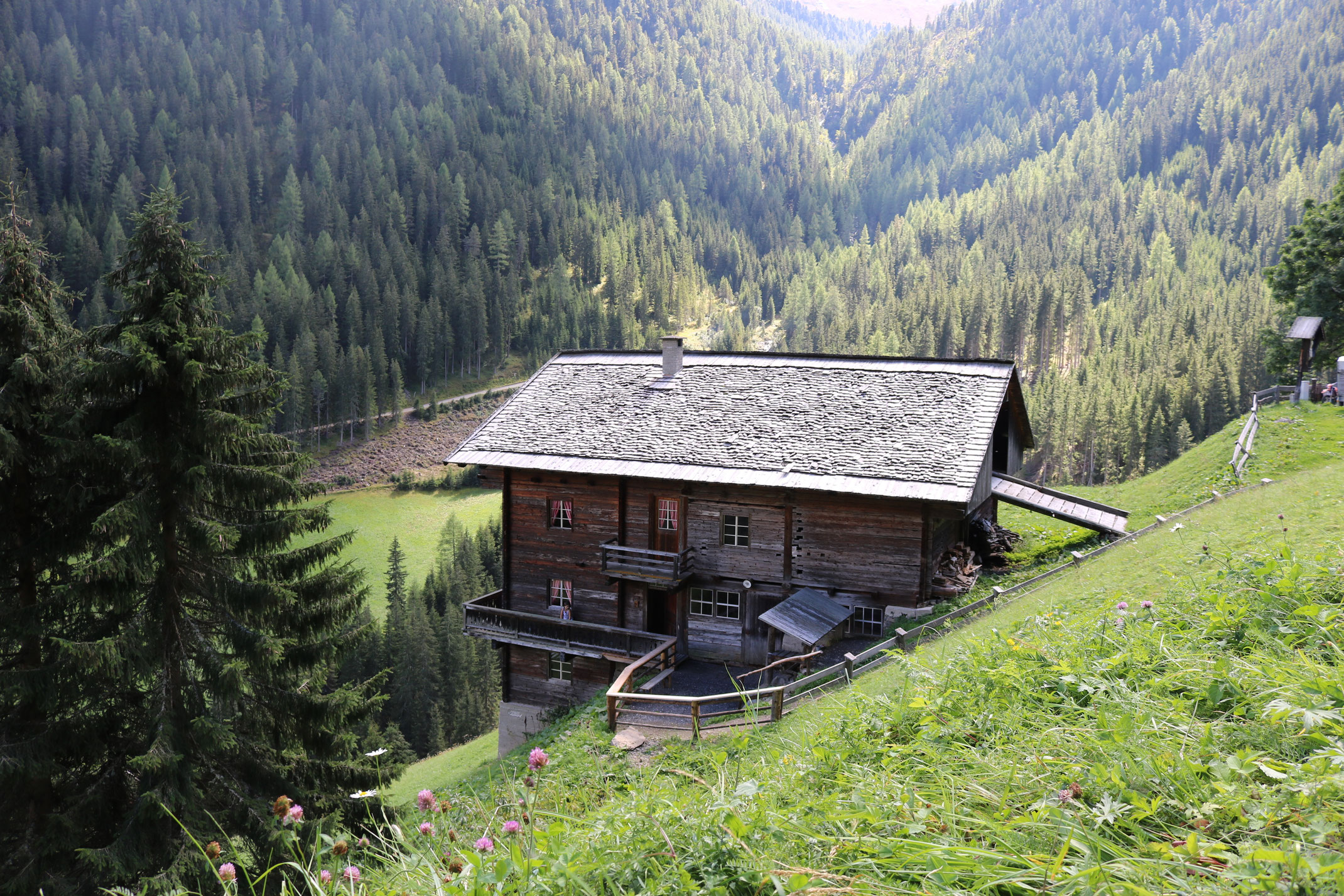
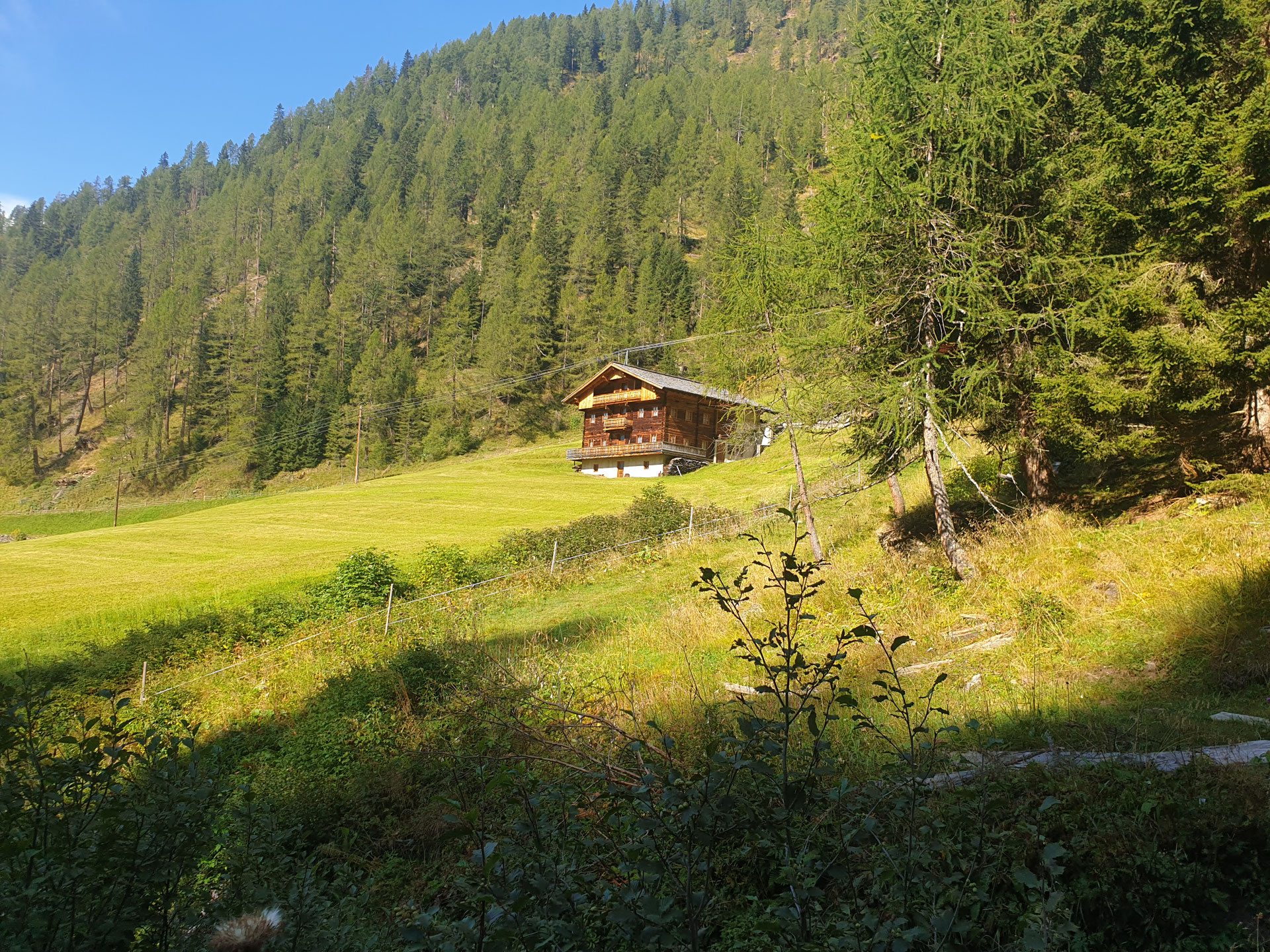
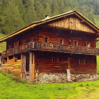
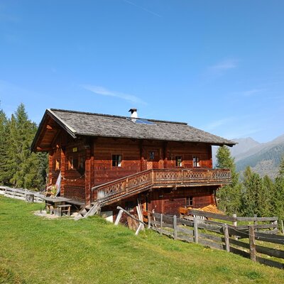
Nothing of this kind in Strassen.
Routes
13 from neighbouring places
E-Bike & Klettersteig Burg Heinfels 1.130m
Short sport via ferrata below Burg Heinfels in the Pustertal, ridable to the base from the Punbrugge; a key wall provides the brief crux before the walk-off.
- 63.0 km
- Distance
- 52 m
- Ascent
- 22 h 48 min
- Duration
- 11
- Check-ins
E-Bike & Klettersteig Spitzenstein
An e-bike-plus-ferrata combination above the Gailtal: ride the Bergwiesentrail over the Dorfberg, leave the bike at the junction off the Gailtaler Höhenweg and reach the secured climb in about half an hour on foot.
- 58.7 km
- Distance
- 350 m
- Ascent
- 22 h 10 min
- Duration
- 2
- Check-ins
Stauseerunde
Level lap of the Tassenbach reservoir near Strassen — a short, buggy-friendly circuit where the Gail valley opens toward the Pustertal.
- 1.8 km
- Distance
- 7 m
- Ascent
- 26 min
- Duration
 Tassenbach-See 1 069 m
Fronstadler Alm
Long forest-track tour from Strassen to a high alm on the Gailtal side, with around 700 m of gradual climbing through quiet, little-walked terrain.
- 15.2 km
- Distance
- 704 m
- Ascent
- 5 h 18 min
- Duration
Fronstadler Alm Nr. 111
A numbered forest-road climb above Strassen in the Osttirol Pustertal, gaining some 700 m to the alm pastures on the valley flank.
- 15.5 km
- Distance
- 744 m
- Ascent
- 2 h 6 min
- Duration
Drauradweg
A gently descending stage on the river cycle path from San Candido through the Pustertal, following the Drau past Mittewald to Nikolsdorf.
- 63.2 km
- Distance
- 165 m
- Ascent
- 5 h 46 min
- Duration
- 25
- Check-ins
Dolomitenradrundfahrt
A long road circuit from the Drau valley over the Gailbergsattel and the Kartitscher Sattel, returning through the Lesachtal and Kötschach-Mauthen.
- 109.7 km
- Distance
- 2 481 m
- Ascent
- 12 h 5 min
- Duration
- 12
- Check-ins
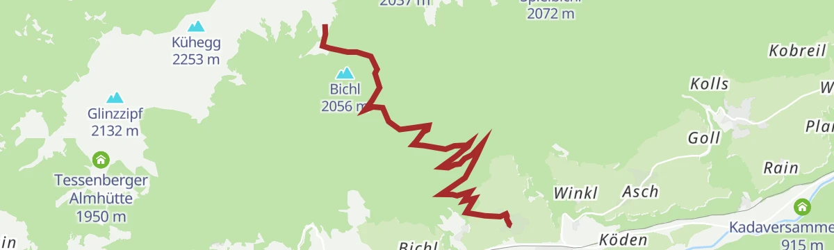
Bike & Hike Tessenberger See 2.124m
1.9 km away, in Heinfels
A steady climb above Heinfels to the Groadenhütte at 1,972 m, from where a short walk finishes at the small lake above.
- 13.1 km
- Distance
- 813 m
- Ascent
- 2 h 7 min
- Duration
- 2
- Check-ins
Tessenberger Alm Nr. 101
1.9 km away, in Heinfels
A short numbered mountain-bike climb above Heinfels in East Tyrol, gaining more than 600 m in little over five kilometres.
- 5.1 km
- Distance
- 622 m
- Ascent
- 1 h 24 min
- Duration
Skitour Tessenberger Alm 1.950m
2.2 km away, in Heinfels
Ski tour above Heinfels rising past the Groadenhütte to the Tessenberger See basin, with the Kühegg and Stulperrast as possible summit goals.
- 7.3 km
- Distance
- 913 m
- Ascent
- 913 m
- Descent
- 3 h 17 min
- Duration
- 1
- Check-ins
Tessenberger See
2.2 km away, in Heinfels
Climb from Heinfels via the Tessenberg plateau to the Tessenberger Almhütte and the small Tessenberger See tucked into the slopes above the Pustertal.
- 12.8 km
- Distance
- 796 m
- Ascent
- 5 h 27 min
- Duration
- 1
- Check-ins
Skitour von St. Oswald auf den Dorfberg
3.9 km away, in Kartitsch
From the church hamlet of St. Oswald this ski tour skins over the Oberberg to a sunny summit above Kartitsch, passing the Dorfberghüttl on the way.
- 6.6 km
- Distance
- 749 m
- Ascent
- 749 m
- Descent
- 2 h 46 min
- Duration
- 5
- Check-ins
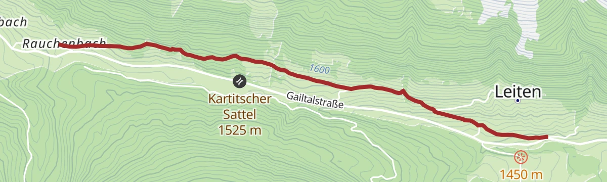
162 | Rauchenbach - Leiten
6.4 km away, in Kartitsch
A very short, easy link on forest track from the Rauchenbach up to the scattered farms on the slope above Kartitsch.
- 3.4 km
- Distance
- 97 m
- Ascent
- 24 min
- Duration
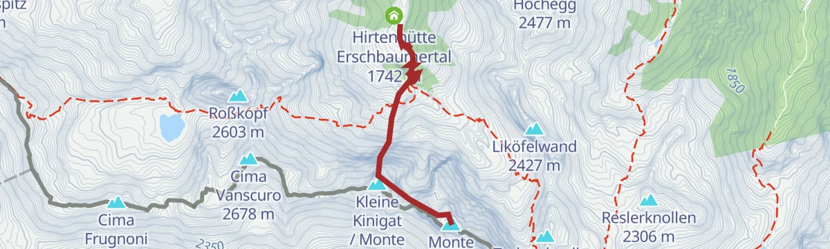
Klettersteig Gr. Kinigat
8.5 km away, in Kartitsch
A mid-grade ferrata onto the Große Kinigat above Kartitsch, reached through the Erschbaumertal; a descent variant passes old wartime positions near the Kleiner Kinigat.
- 2.5 km
- Distance
- 450 m
- Ascent
- 3 h 9 min
- Duration
- 11
- Check-ins
E-Bike & Klettersteig Porzeüberschreitung 2.589 m
11.7 km away, in Obertilliach
E-bike ride to the Porzehütte in the Carnic Alps, then the Porze crossing by the Ferrata Camoscio east ridge; exposed grassy sections demand sure feet despite the easy grade.
- 28.5 km
- Distance
- 1 500 m
- Ascent
- 14 h 44 min
- Duration
- 38
- Check-ins
Schönfeldalm
2.5 km away, in Abfaltersbach
A long forest-and-pasture climb from Abfaltersbach to the Schönfeld alp on the Pustertal ridge, more an endurance test than a technical challenge.
- 13.9 km
- Distance
- 913 m
- Ascent
- 6 h 10 min
- Duration
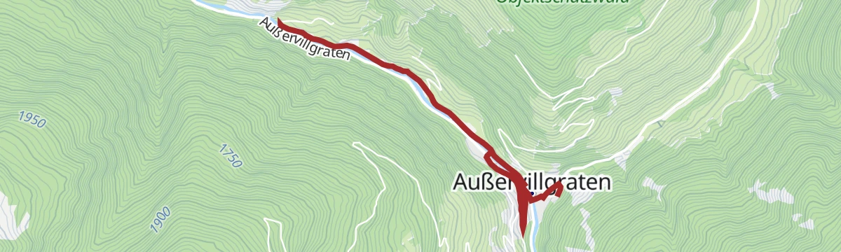
Dorfblickweg
6.1 km away, in Außervillgraten
An easy loop above Außervillgraten with steady views back onto the village and its steep farm slopes — a short round well suited to arrival days.
- 4.6 km
- Distance
- 111 m
- Ascent
- 1 h 21 min
- Duration
Kristeinertal Nr. 123
8.4 km away, in Assling
A short, steep forest-road climb out of Assling into a side valley of the Pustertal, gaining over 900 m in 10 km.
- 20.2 km
- Distance
- 929 m
- Ascent
- 2 h 40 min
- Duration
Klettersteig Burg Heinfels
3.6 km away, in Heinfels
Short wired climb on the crag below Burg Heinfels in the Pustertal, only 150 m from parking at the Punbrugge; after the final wall a road leads back around the south side.
- 1.0 km
- Distance
- 180 m
- Ascent
- 1 h 16 min
- Duration
Bike & Hike Bockstein 2.803m
8.4 km away, in Assling
A ride-and-walk approach from Assling to the Platzoller Alm, continuing on foot over the Bocksteinscharte to a summit above 2,800 m.
- 29.2 km
- Distance
- 1 978 m
- Ascent
- 5 h 2 min
- Duration
- 2
- Check-ins



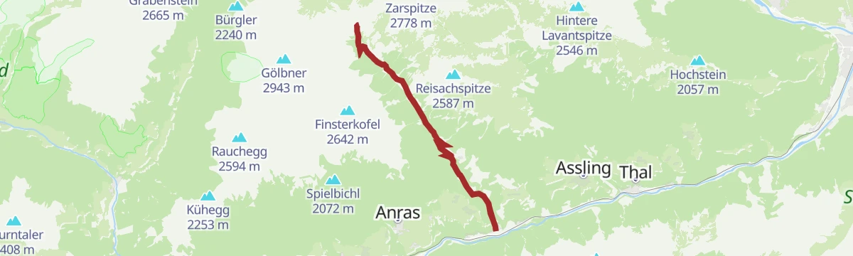


No routes of this kind in Strassen yet.
The region's own picks

Featured route
Stauseerunde
Level lap of the Tassenbach reservoir near Strassen — a short, buggy-friendly circuit where the Gail valley opens toward the Pustertal.
Planning a trip to Strassen?
Everything else Tyrol has, in one place


Take Strassen with you into the mountains
Every route on this page with 3D terrain, GPX navigation and offline maps — including the valleys with no signal.
Data sources
- Official website: osttirol.com ↗
- Routes and highlights: Osttirol Tourismus
- Published as open data by the tourist boards named above.
- Region summary generated from the board's own material.
