















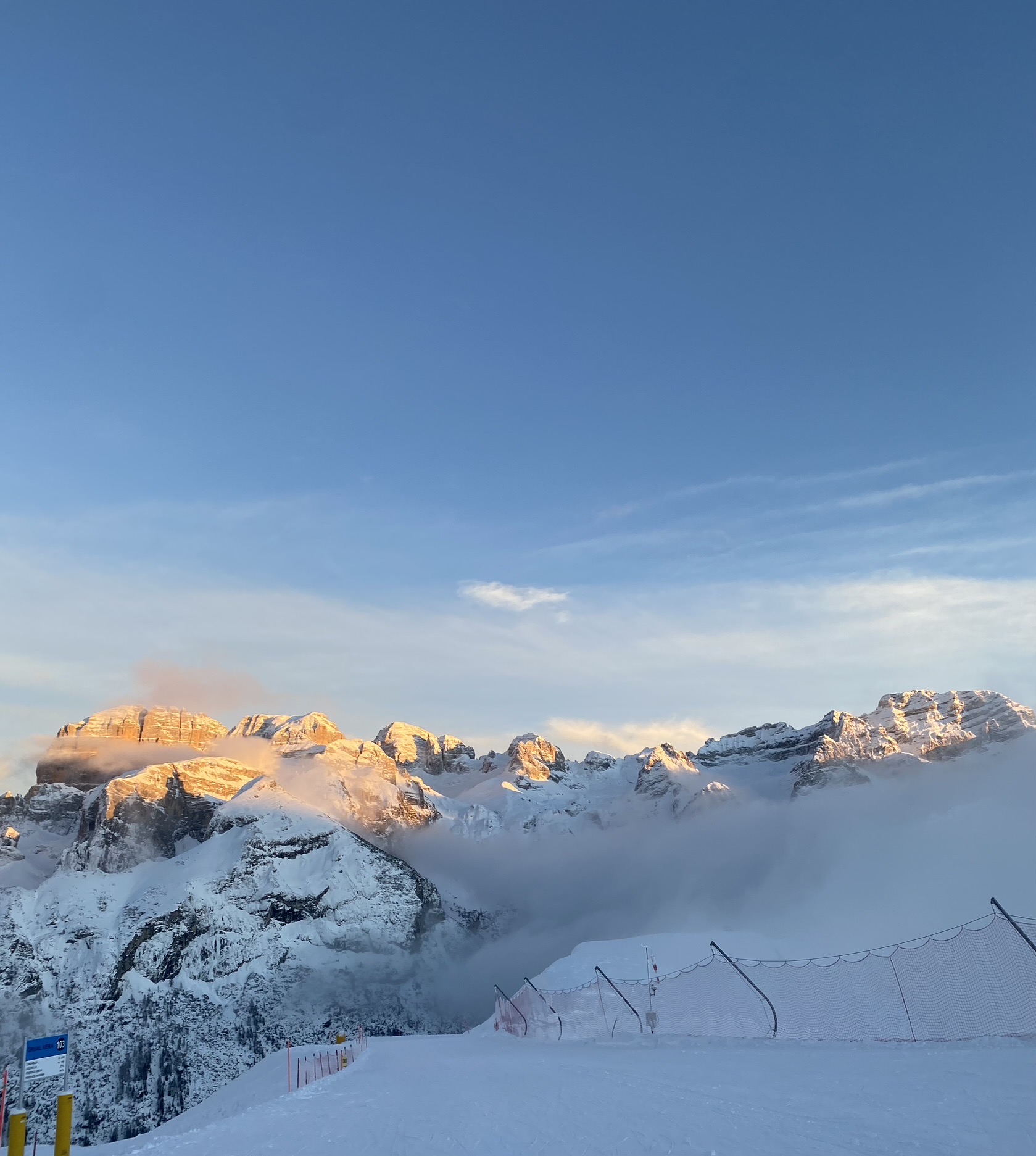
Curated by APT Madonna di Campiglio, Pinzolo, Val Rendena
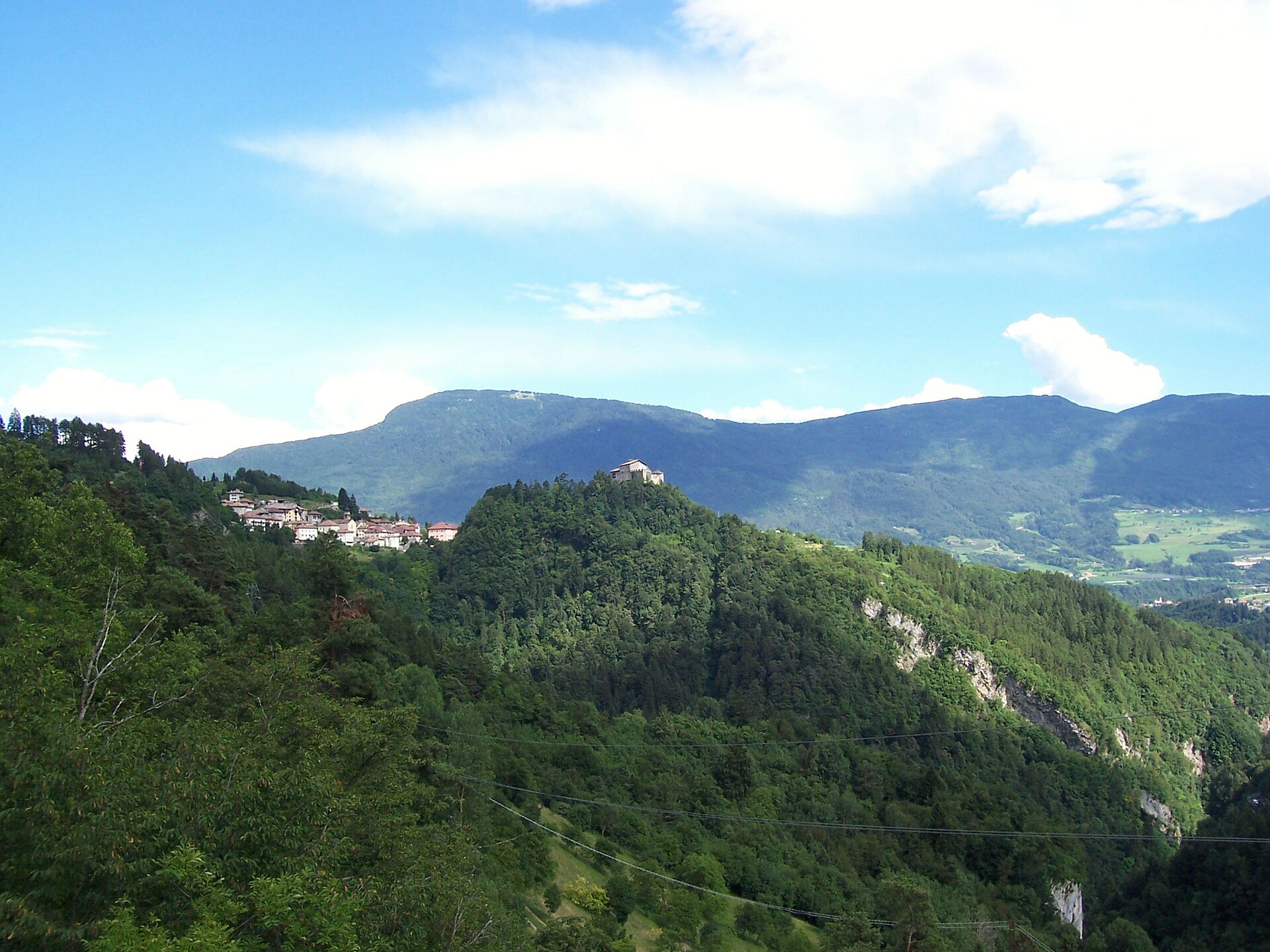
Stenico
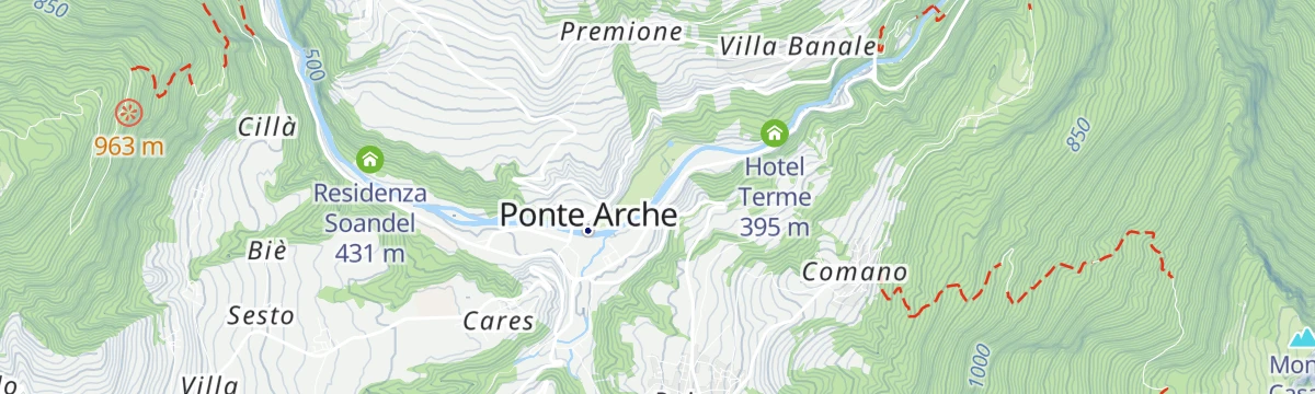
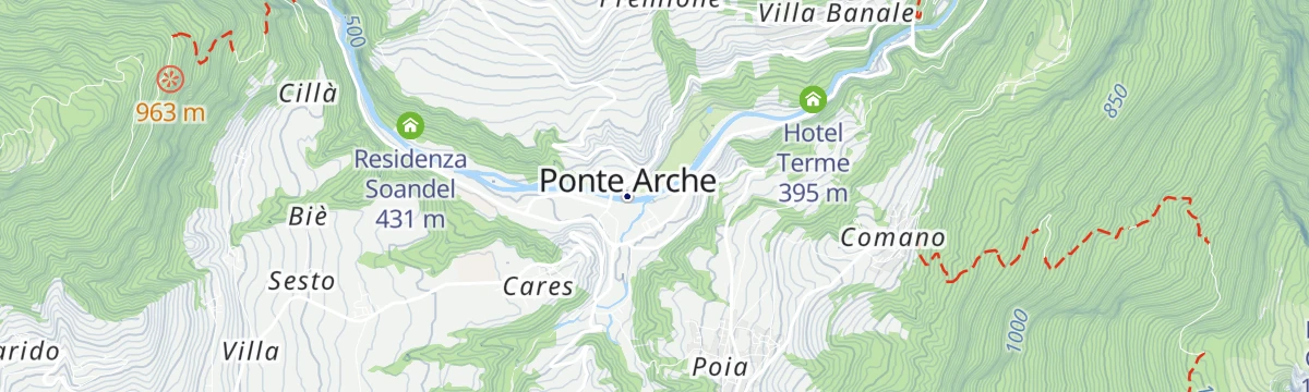
A Giudicarie village above the Sarca gorges under its medieval castle, near the Rio Bianco waterfall.
Photo: Cadria · Public domain
- 4Highlights
- 55Routes
- Featured summit · Doss del Sabion
Highlights
All 4 from neighbouring places
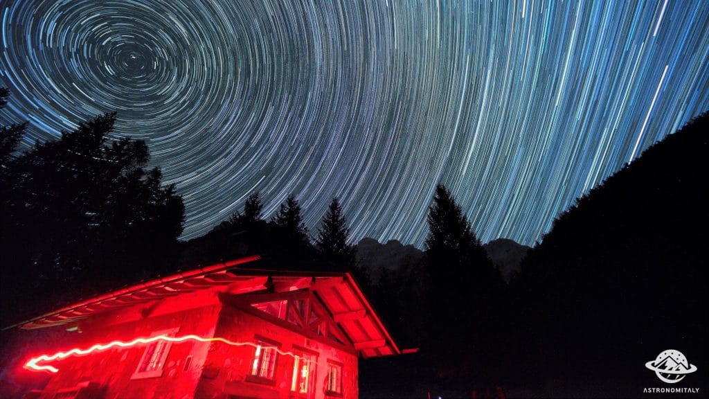
Baita Valon
5.7 km away, in Comano Terme
A hut on the Valon meadows above Comano, used for walks and for its dark night skies.
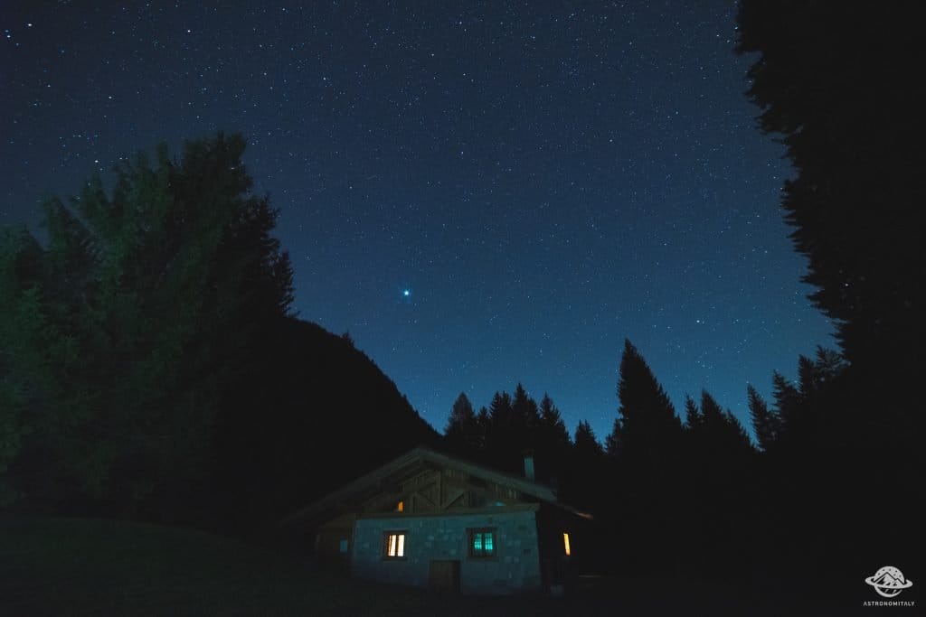
Stargazing a Baita Valon, Trentino
5.7 km away, in Comano Terme
Night-sky watching from the Valon meadows above Comano Terme, away from valley lights.
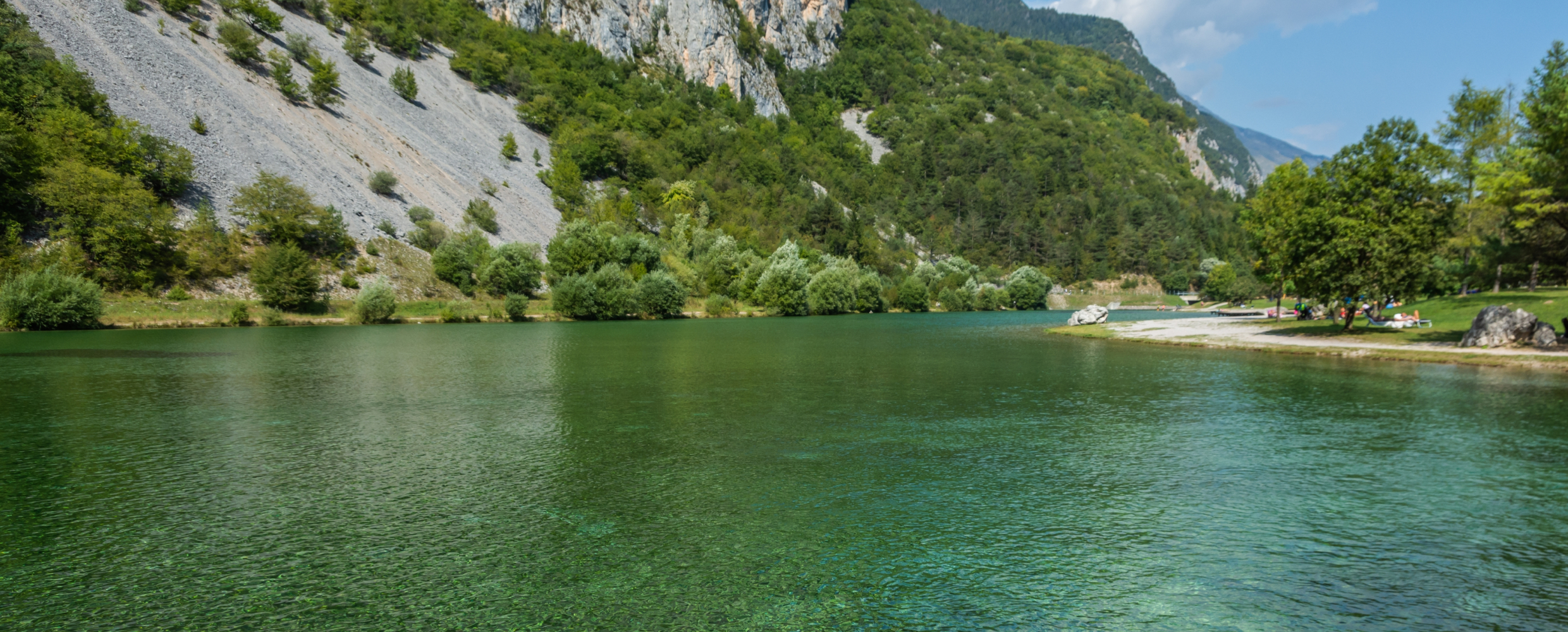
Lago di Nembia
7.2 km away, in San Lorenzo Dorsino
A small lake in the Sarca gorges near San Lorenzo Dorsino, on the edge of the Adamello-Brenta park.
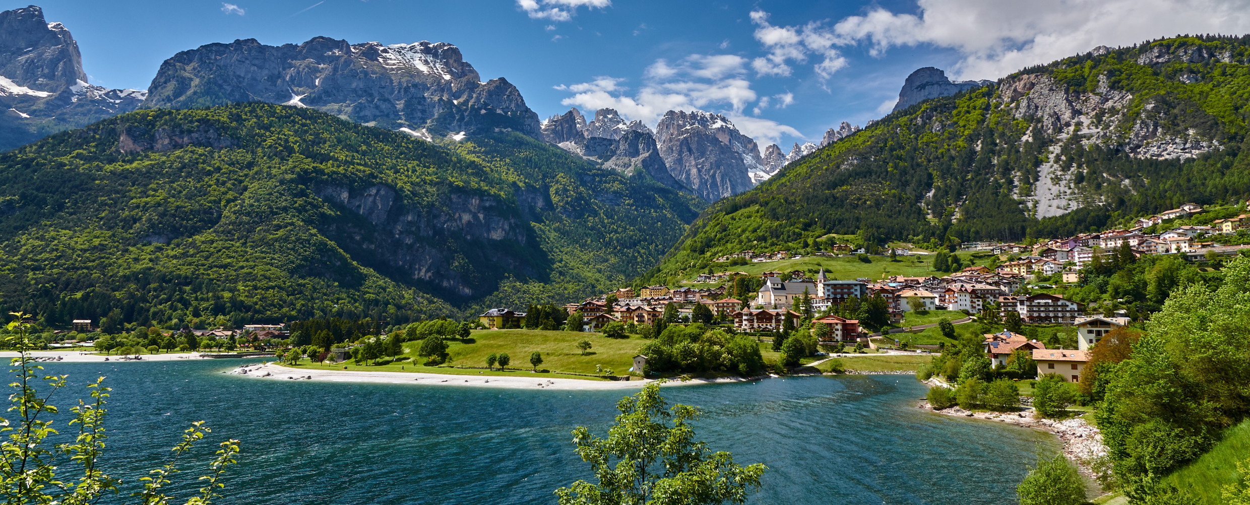
Lago di Molveno
10.1 km away, in Molveno
A lake at 864 m below the Brenta Dolomites, its water among the clearest in the Alps.
Nothing of this kind in Stenico.
Routes
50 routes, an even mix of activities · see the rest on visittrentino.info ↗
Via Ferrata Ettore Castiglioni, Brenta Dolomites
A vertical two-hundred-metre cabled line up Cima Susat below the Bocchetta dei Due Denti, opened in 1946 on ground Castiglioni first climbed.
- 3.0 km
- Distance
- 411 m
- Ascent
- 2 h 47 min
- Duration
- 65
- Check-ins
 Rifugio XII Apostoli 2 489 m
- Rifugio Val d'Ambiez - Silvio Agostini 2 410 m
 Bocchetta dei Due Denti 2 859 m
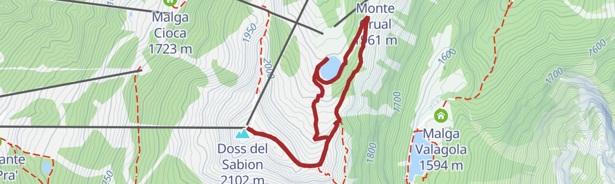
Open route APT Madonna di Campiglio, Pinzolo, Val RendenaDoss del Sabion - Lago Grual
A loop starting and finishing on Doss del Sabion, round the Grual reservoir, with four wooden viewing structures that together form a piste basher.
- 3.7 km
- Distance
- 190 m
- Ascent
- 1 h 23 min
- Duration
- 77
- Check-ins
 Doss del Sabion 2 102 m
- Doss del Sabion 2 103 m
 Bacino Grual 1 918 m
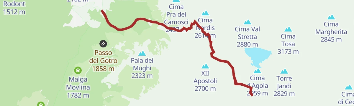
Open route APT Madonna di Campiglio, Pinzolo, Val RendenaBrenta Trek - Tappa 2 - RIf. Brentei – RIf. XII Apostoli
A high stage in the Brenta Dolomites between two refuges, crossing the Bocca dei Camosci and skirting the glacier below it.
- 5.8 km
- Distance
- 852 m
- Ascent
- 4 h 21 min
- Duration
- 111
- Check-ins
Open route APT Madonna di Campiglio, Pinzolo, Val RendenaSound paths - "Fin en do che pesta le vache" Manez variant
A long, hard stage of the sound-path network over Passo Bregn de l'Ors, linking Malga Movlina and Malga Valagola on slopes walked in 1917.
- 29.4 km
- Distance
- 2 094 m
- Ascent
- 11 h 59 min
- Duration
- 149
- Check-ins
- Hotel Vallesinella 1 512 m
- Rifugio Cascate di Mezzo 1 410 m
- Malga Brenta Bassa 1 264 m
- Malga Movlina 1 782 m
- Passo Bregn de l'Ors 1 836 m
- Malga Valagola 1 594 m
- +7
Open route APT Madonna di Campiglio, Pinzolo, Val RendenaDolomiti-Garda Alpine Cycling / Male - Riva del Garda
The full Dolomiti-Garda route through four Trentino valleys, from the Adamello Brenta park down to Lake Garda.
- 109.5 km
- Distance
- 3 039 m
- Ascent
- 12 h 49 min
- Duration
- 230
- Check-ins
- Falesia Fontanella 1 384 m
- Fortini 1 629 m
- LAB Après-Ski 1 632 m
- Laghetto Conca Verde 1 496 m
- La Cantina di Suisse 1 506 m
- Condominio Villa Golf 1 646 m
- +24
Open route APT Madonna di Campiglio, Pinzolo, Val RendenaDBT Stage 6: Rifugio XII Apostoli - Rifugio S. Agostini
A stage ending at the Rifugio Silvio Agostini in the Val d'Ambiez, a Brenta basin walled by steep dolomite with the Ambiez face above.
- 2.8 km
- Distance
- 318 m
- Ascent
- 2 h 6 min
- Duration
- 65
- Check-ins
- Rifugio XII Apostoli 2 489 m
- Rifugio Val d'Ambiez - Silvio Agostini 2 410 m
- Bocchetta dei Due Denti 2 859 m
Open route APT Madonna di Campiglio, Pinzolo, Val RendenaFrom Doss del Sabion to Valagola Lake
A descent from Doss del Sabion, reached by lift, through alpine pasture to Lago di Valagola, set among forest between Cima Nardis and Fracinglo.
- 5.7 km
- Distance
- 484 m
- Ascent
- 3 h 5 min
- Duration
- 85
- Check-ins
Open route APT Madonna di Campiglio, Pinzolo, Val RendenaValagola Trail n°975
A long trail route with the Brenta Dolomites on one side and the Adamello-Presanella group on the other, dropping towards Valagola.
- 20.0 km
- Distance
- 87 m
- Ascent
- 6 h 7 min
- Duration
- 122
- Check-ins
- Doss del Sabion 2 102 m
- Doss del Sabion 2 103 m
- Prà della Casa 1 167 m
- Passo Bregn de l'Ors 1 836 m
- Malga Valagola 1 594 m
- Lago di Valagola 1 600 m
- +3
Open route APT Madonna di Campiglio, Pinzolo, Val RendenaRoad bike tour of Campiglio and Comano
A long road day from Pinzolo down the Sarca to Comano Terme, then back over Passo Durone and the steeper Passo Daone above Preore.
- 106.9 km
- Distance
- 3 187 m
- Ascent
- 12 h 30 min
- Duration
- 205
- Check-ins
- Falesia Fontanella 1 384 m
- Fortini 1 629 m
- LAB Après-Ski 1 632 m
- Laghetto Conca Verde 1 496 m
- Passo Campo Carlo Magno 1 682 m
- La Cantina di Suisse 1 506 m
- +18
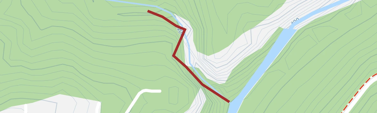
Open route APT Madonna di Campiglio, Pinzolo, Val RendenaFiume Sarca Ponte Arche NK0
A level riverside stretch of the Sarca at Ponte Arche, on the valley floor of the Giudicarie below Stenico.
- 720 m
- Distance
- 14 m
- Ascent
- 11 min
- Duration
- 12
- Check-ins
Open route Trentino FishingTrek to Rifugio XII Apostoli
A climb to the XII Apostoli hut, set on a dolomite spur above the basin under the Pratofiorito and Agola glaciers, at the western gate of the Brenta.
- 12.0 km
- Distance
- 841 m
- Ascent
- 5 h 36 min
- Duration
- 71
- Check-ins
Open route APT Madonna di Campiglio, Pinzolo, Val Rendena“Fratelli Garbari” Hut at the XII Apostles
A long climb from the Val Rendena side to the Fratelli Garbari hut at the XII Apostoli, in the glacial basin under the western Brenta.
- 13.4 km
- Distance
- 1 242 m
- Ascent
- 7 h 46 min
- Duration
- 121
- Check-ins
- Doss del Sabion 2 102 m
- Doss del Sabion 2 103 m
- Rifugio XII Apostoli 2 489 m
- Passo Bregn de l'Ors 1 836 m
Open route APT Madonna di Campiglio, Pinzolo, Val RendenaThe stage of 2022 Giro d'Italia Women.
A race-length road route from the Rotaliana plain to San Lorenzo Dorsino, with three long climbs by way of Andalo, Molveno and Passo Santel.
- 113.6 km
- Distance
- 3 474 m
- Ascent
- 13 h 10 min
- Duration
- 137
- Check-ins
- Fontanella 845 m
- Lago Park Hotel 826 m
- Grand Hotel Molveno 838 m
- Tre3 1 037 m
- Albergo El Paso 1 036 m
- Passo Santel 1 040 m
- +20
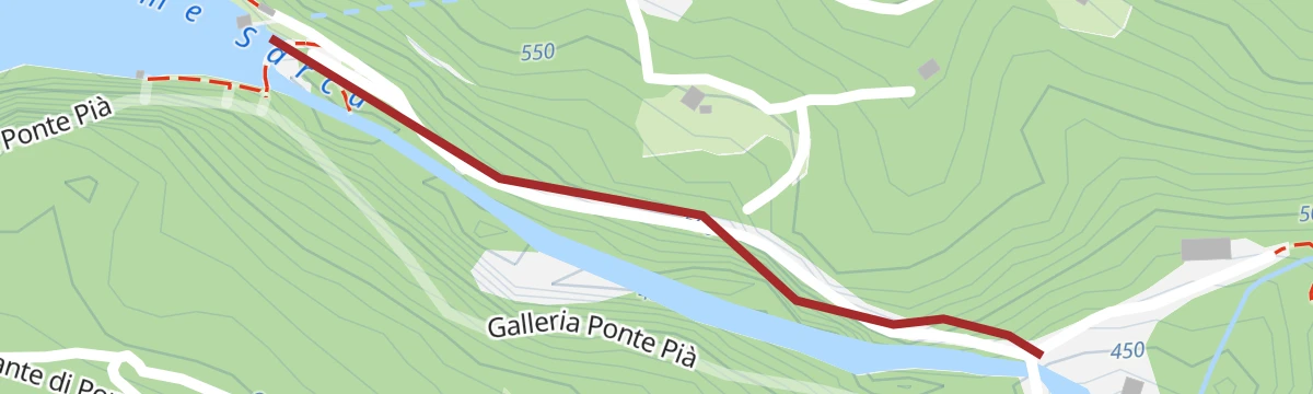
Open route APT Dolomiti di Brenta e PaganellaFiume Sarca dal Bacino di Ponte Pià - Bocche del Limarò A2
A short marked reach of the Sarca between the Ponte Pià reservoir and the Limarò narrows, at the water's edge.
- 198 m
- Distance
- 0 m
- Ascent
- 3 min
- Duration
- 8
- Check-ins
Open route Trentino FishingRio Algone R
A level walk along the Rio Algone on the floor of the Val d'Algone above Ponte Arche.
- 9.6 km
- Distance
- 0 m
- Ascent
- 3 h 4 min
- Duration
- 9
- Check-ins
Open route Trentino FishingBrenta Trek - Tappa 3 - Rif. XII Apostoli – Rif. Pedrotti
The third stage of the Brenta Trek, crossing from the Dodici Apostoli hut over the Forcolotta di Noghera to the Pedrotti hut.
- 9.5 km
- Distance
- 913 m
- Ascent
- 5 h 42 min
- Duration
- 114
- Check-ins
- Passo Forcolotta di Noghera 2 449 m
- Rifugio Tommaso Pedrotti 2 491 m
- Rifugio XII Apostoli 2 489 m
- Rifugio Val d'Ambiez - Silvio Agostini 2 410 m
- Bocchetta dei Due Denti 2 859 m
- Forcolotta di Noghera 2 423 m
Open route APT Madonna di Campiglio, Pinzolo, Val RendenaFrom the Dolomites to Lake Garda
A hundred-kilometre run down from the Brenta to the shore of Garda, back over the Passo Ballino and through the Limarò gorge.
- 106.4 km
- Distance
- 2 385 m
- Ascent
- 11 h 41 min
- Duration
- 131
- Check-ins
- Fontanella 845 m
- Lago Park Hotel 826 m
- Grand Hotel Molveno 838 m
- Sella di Andalo 1 042 m
- APT Dolomiti Paganella 1 021 m
- Centrale di Fies 191 m
- +10
Open route APT Dolomiti di Brenta e PaganellaLago di Valagola X
A short walk at Lago di Valagola, a small lake set among pasture and larch under the western Brenta Dolomites.
- 713 m
- Distance
- 10 m
- Ascent
- 11 min
- Duration
- 6
- Check-ins
Open route Trentino FishingSentiero dell'Acqua
A walk from Ponte Arche by Villa Banale to the rim of the Limarò canyon, returning through Comano.
- 10.1 km
- Distance
- 409 m
- Ascent
- 3 h 23 min
- Duration
- 9
- Check-ins
Open route Garda TrentinoMalga Movlina and Rifugio XII Apostoli
A circuit from Malga Movlina over the Groto and Bregn dal'Ors passes and the Scalasanta to the XII Apostoli hut, returning to the pasture.
- 11.4 km
- Distance
- 934 m
- Ascent
- 5 h 59 min
- Duration
- 83
- Check-ins
- Rifugio XII Apostoli 2 489 m
- Malga Movlina 1 782 m
- Passo XII Apostoli 2 584 m
- Rifugio La Pace 1 853 m
- Passo del Gotro 1 858 m
Open route Garda TrentinoDoss del Sabion – Lake Valagola - Prarodont
A ride from the Doss del Sabion down to the small Lake Valagola, then back up to the lifts that link Pinzolo with Madonna di Campiglio.
- 20.5 km
- Distance
- 1 188 m
- Ascent
- 3 h 9 min
- Duration
- 91
- Check-ins
- Doss del Sabion 2 102 m
- Doss del Sabion 2 103 m
- Passo Bregn de l'Ors 1 836 m
- Lago di Valagola 1 600 m
Open route APT Madonna di Campiglio, Pinzolo, Val RendenaAl forte Credata
A short walk into the Val d'Algone to a small fortified post lost in the woods on the steep left-hand side of the valley.
- 3.9 km
- Distance
- 292 m
- Ascent
- 1 h 54 min
- Duration
Valagola - The Way of the Valleys
An easy family walk on forest roads through the old Cantin firwood to the quiet lake at Malga Valagola, with the Brenta peaks mirrored in it.
- 7.5 km
- Distance
- 320 m
- Ascent
- 2 h 33 min
- Duration
- 9
- Check-ins
Open route APT Madonna di Campiglio, Pinzolo, Val RendenaFrom Giustino to Rifugio XII Apostoli
A climb on SAT 307 from Giustino on old pasture paths, then over the Passo Bandalors to the hut on its rock spur above the Val di Nardis.
- 11.6 km
- Distance
- 1 787 m
- Ascent
- 7 h 3 min
- Duration
- 54
- Check-ins
Open route APT Madonna di Campiglio, Pinzolo, Val RendenaTour of the Banale Plateau
A road round over the Sella di Andalo to Molveno and on to the Comano spa and the villages of the Banale plateau.
- 52.4 km
- Distance
- 1 484 m
- Ascent
- 6 h 3 min
- Duration
- 89
- Check-ins
- Fontanella 845 m
- Lago Park Hotel 826 m
- Grand Hotel Molveno 838 m
- Sella di Andalo 1 042 m
- APT Dolomiti Paganella 1 021 m
- Agriturismo Ai Castioni 973 m
- +9
Open route APT Dolomiti di Brenta e PaganellaDivieto Bacino di Ponte Pià
A short walk on the shore of the Ponte Pià reservoir on the Sarca, in the wooded basin below Stenico.
- 517 m
- Distance
- 39 m
- Ascent
- 16 min
- Duration
La Val Algone, nel cuore del Parco Naturale Adamello Brenta
A valley walk in the Adamello Brenta park from the Ghedina hut to Malga Nambi, passing the ruins of the old glassworks.
- 7.2 km
- Distance
- 360 m
- Ascent
- 2 h 35 min
- Duration
- 6
- Check-ins
Val di Nardis - La Via delle Valli
A demanding climb from Valagola through forest and past its lake into the Val di Nardis, finishing at the Rifugio XII Apostoli high in the Brenta.
- 15.4 km
- Distance
- 1 178 m
- Ascent
- 7 h 39 min
- Duration
- 51
- Check-ins
Open route APT Madonna di Campiglio, Pinzolo, Val RendenaThe Southern side of Brenta Dolomites
A demanding road loop around the south of the Brenta group, with the Passo Daone the hardest of its climbs before the return to Andalo.
- 90.7 km
- Distance
- 3 054 m
- Ascent
- 10 h 56 min
- Duration
- 81
- Check-ins
- Fontanella 845 m
- Lago Park Hotel 826 m
- Grand Hotel Molveno 838 m
- Sella di Andalo 1 042 m
- APT Dolomiti Paganella 1 021 m
- Passo Daone 1 290 m
- +9
Open route APT Dolomiti di Brenta e PaganellaDivieto Torrente Ambiez
A brief streamside stretch along the Torrente Ambiez, which drains the Ambiez cirque of the Brenta towards the Sarca.
- 299 m
- Distance
- 26 m
- Ascent
- 18 min
- Duration
Open route Trentino FishingFiume Sarca dal Bacino di Ponte Pià
A short riverside stretch of the Sarca at the Ponte Pià reservoir, in the gorge country below Stenico.
- 8.9 km
- Distance
- 393 m
- Ascent
- 3 h 11 min
- Duration
- 4
- Check-ins
Cima Pratofiorito
An ascent of Cima Pratofiorito, which stands east of the XII Apostoli basin and can be reached without real climbing, though the upper part suits experienced hikers only.
- 12.6 km
- Distance
- 1 087 m
- Ascent
- 6 h 53 min
- Duration
- 48
- Check-ins
Open route APT Madonna di Campiglio, Pinzolo, Val RendenaFrom Paganella to Giudicarie
A long road day from the Andalo plateau into the Giudicarie, with the climb to the Passo Durone as the main effort.
- 74.9 km
- Distance
- 2 360 m
- Ascent
- 8 h 52 min
- Duration
- 80
- Check-ins
- Fontanella 845 m
- Lago Park Hotel 826 m
- Grand Hotel Molveno 838 m
- Sella di Andalo 1 042 m
- APT Dolomiti Paganella 1 021 m
- Bar Ristorante Passo Durone 995 m
- +7
Open route APT Dolomiti di Brenta e PaganellaFiume Sarca PP1
A level walk beside the Sarca on the floor of the Giudicarie valley near Ponte Pià.
- 1.0 km
- Distance
- 0 m
- Ascent
- 15 min
- Duration
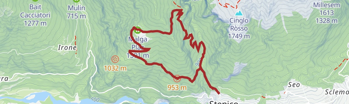
Anello Malga Plaz
A loop from Stenico on a forest road to Malga Plaz, opening out on the return leg across pasture and open ridge.
- 8.9 km
- Distance
- 821 m
- Ascent
- 5 h 7 min
- Duration
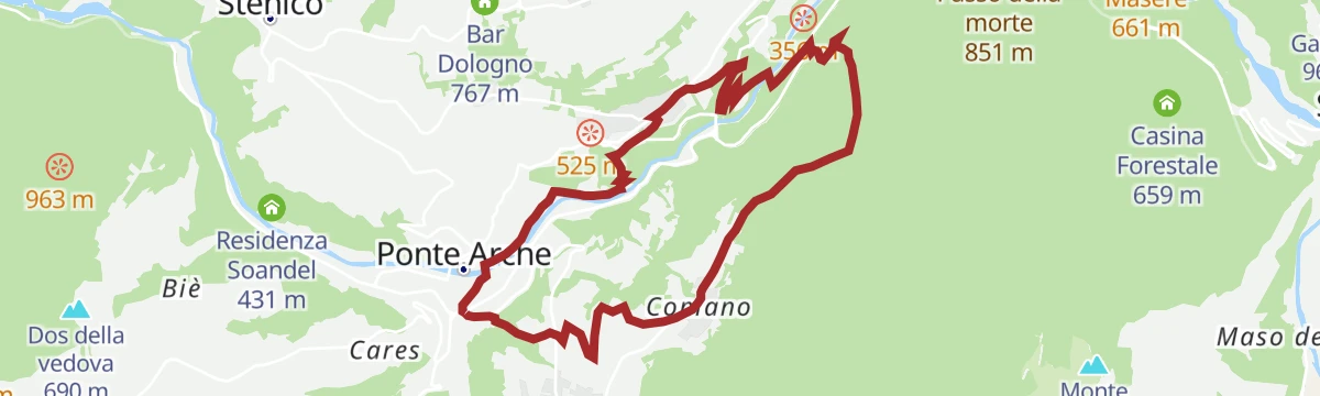
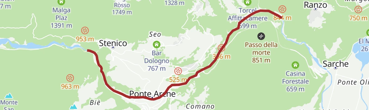
Comano Banale Trail-Tour
A long circuit over the Passo della Morte and along the rim of the Limarò gorge above the Sarca.
- 20.8 km
- Distance
- 694 m
- Ascent
- 6 h 35 min
- Duration
- 10
- Check-ins
Villages and waterfalls
A very long road tour from Andalo past the lake at Molveno into the Val Genova, where the waterfalls are, and back over the Sella di Andalo.
- 112.2 km
- Distance
- 2 787 m
- Ascent
- 12 h 35 min
- Duration
- 79
- Check-ins
- Fontanella 845 m
- Val Genova information point 905 m
- Lago Park Hotel 826 m
- Grand Hotel Molveno 838 m
- Sella di Andalo 1 042 m
- APT Dolomiti Paganella 1 021 m
- +4
Open route APT Dolomiti di Brenta e PaganellaFiume Sarca Tione - Limarò PP4
A very short river-bank stretch of the Sarca, on the reach between Tione and the Limarò gorge.
- 321 m
- Distance
- 0 m
- Ascent
- 5 min
- Duration
Open route Trentino FishingBacino di Ponte Pià S
A short walk in Tre Ville above the Ponte Pià reservoir, gaining a few hundred metres from the valley floor.
- 6.2 km
- Distance
- 393 m
- Ascent
- 2 h 41 min
- Duration
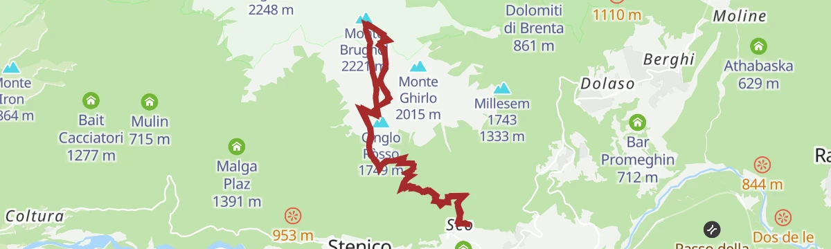
Open route Trentino FishingMonte Brugnol
A long climb to Monte Brugnol, a quiet grass balcony over the Bleggio and Lomaso basins with the Brenta and Presanella ranges opposite. Chamois are common near the top.
- 15.1 km
- Distance
- 1 810 m
- Ascent
- 10 h 47 min
- Duration
- 2
- Check-ins
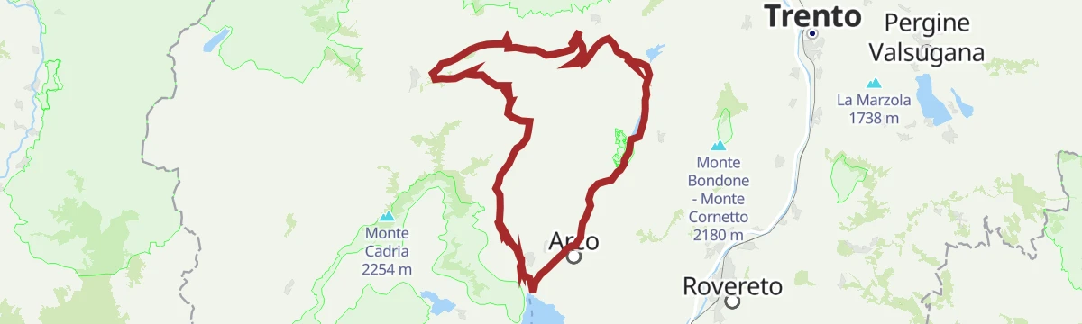
Open route Garda TrentinoBallino - Durone - Stenico
A road circuit from Riva over the Ballino and Durone passes, holding height across to Stenico.
- 87.5 km
- Distance
- 2 198 m
- Ascent
- 9 h 50 min
- Duration
- 71
- Check-ins
- Garda Dolomiti Azienda per il turismo S.p.A. 69 m
- Info Point Riva del Garda 69 m
- Ingarda 603 m
- Bar Ristorante Passo Durone 995 m
- Casa sociale 248 m
- Info Point - Garda Trentino - Arco 90 m
- +7
Open route Garda TrentinoRio Bianco, Associazione Pescatori Alto Sarca
A flat walk along the Rio Bianco below Stenico, on trout water managed by the upper Sarca anglers.
- 3.9 km
- Distance
- 0 m
- Ascent
- 2 h 49 min
- Duration
Open route Trentino FishingL'Arca di Fraporte
A walk from Stenico to the Arca di Fraporte, an enormous cave mouth with water thundering through it.
- 10.4 km
- Distance
- 877 m
- Ascent
- 5 h 35 min
- Duration
On Monte Valandro
A climb on old herders' trails to Monte Valandro above Stenico, through wide grassland and steep slopes with little traffic.
- 10.1 km
- Distance
- 1 038 m
- Ascent
- 6 h 21 min
- Duration
- 1
- Check-ins
Open route Garda TrentinoMedium Route - Top Dolomites Gran Fondo
The shorter of the granfondo road courses, running from Pinzolo over the Passo del Durone and finishing with the climb to Madonna di Campiglio.
- 83.5 km
- Distance
- 2 519 m
- Ascent
- 9 h 31 min
- Duration
- 45
- Check-ins
- Falesia Fontanella 1 384 m
- La Cantina di Suisse 1 506 m
- Panorama Hotel Fontanella 1 434 m
- Bar Ristorante Passo Durone 995 m
- Passo del Durone 1 010 m
- Chiesetta degli alpini 1 029 m
- +3
Open route APT Madonna di Campiglio, Pinzolo, Val RendenaRio Valagola Z
A near-level walk along the Rio Valagola, the stream draining Valagola lake towards the Sarca.
- 4.0 km
- Distance
- 0 m
- Ascent
- 1 h 20 min
- Duration
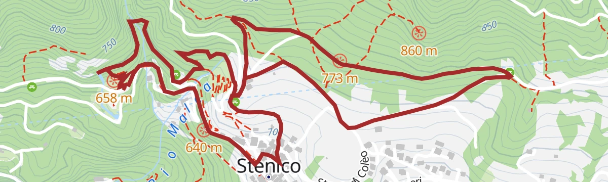
Open route Trentino FishingStenico - Tour
A long loop signed 942 out of Stenico, climbing past the Bosco Arte sculpture park and then rolling through meadow, woodland and farm hamlets back to the village.
- 18.1 km
- Distance
- 494 m
- Ascent
- 5 h 28 min
- Duration
- 1
- Check-ins
Open route Garda TrentinoValagola Lake Tour n°975A
A steady climb on wide dirt road inside the Adamello Brenta park to the lake and Malga Valagola at 1,594 m under the Dolomite walls.
- 18.7 km
- Distance
- 605 m
- Ascent
- 2 h 14 min
- Duration
- 31
- Check-ins
- Prà della Casa 1 167 m
- Malga Valagola 1 594 m
- Casa del Parco PNAB 1 130 m
- Maso Pin 1 162 m
- Viviaio Brenta 1 167 m
Open route APT Madonna di Campiglio, Pinzolo, Val RendenaThe Rio Bianco Waterfall and the Bosco Arte Stenico
An easy round from Stenico to the Rio Bianco falls, returning past the Bosco Arte sculpture trail and the botanical garden.
- 4.7 km
- Distance
- 206 m
- Ascent
- 1 h 36 min
- Duration
Open route Garda TrentinoA malga Plaz
A climb to the abandoned Malga Plaz, standing alone in wide rolling grassland above Stenico.
- 10.2 km
- Distance
- 949 m
- Ascent
- 5 h 54 min
- Duration
No routes of this kind in Stenico yet.
The region's own picks
Featured route
Doss del Sabion - Lago Grual
A loop starting and finishing on Doss del Sabion, round the Grual reservoir, with four wooden viewing structures that together form a piste basher.
Planning a trip to Stenico?
Everything else Trentino-Alto Adige/Südtirol has, in one place


Take Stenico with you into the mountains
Every route on this page with 3D terrain, GPX navigation and offline maps — including the valleys with no signal.
Data sources
- Official website: visittrentino.info ↗
- Routes and highlights: APT Madonna di Campiglio, Pinzolo, Val Rendena, Trentino Fishing, Visit Trentino, Garda Trentino, APT Dolomiti di Brenta e Paganella, Astrotourism, Italia.it
- Published as open data by the tourist boards named above.
- Region summary generated from the board's own material.
