
Curated by Salzkammergut
Steinbach am Attersee
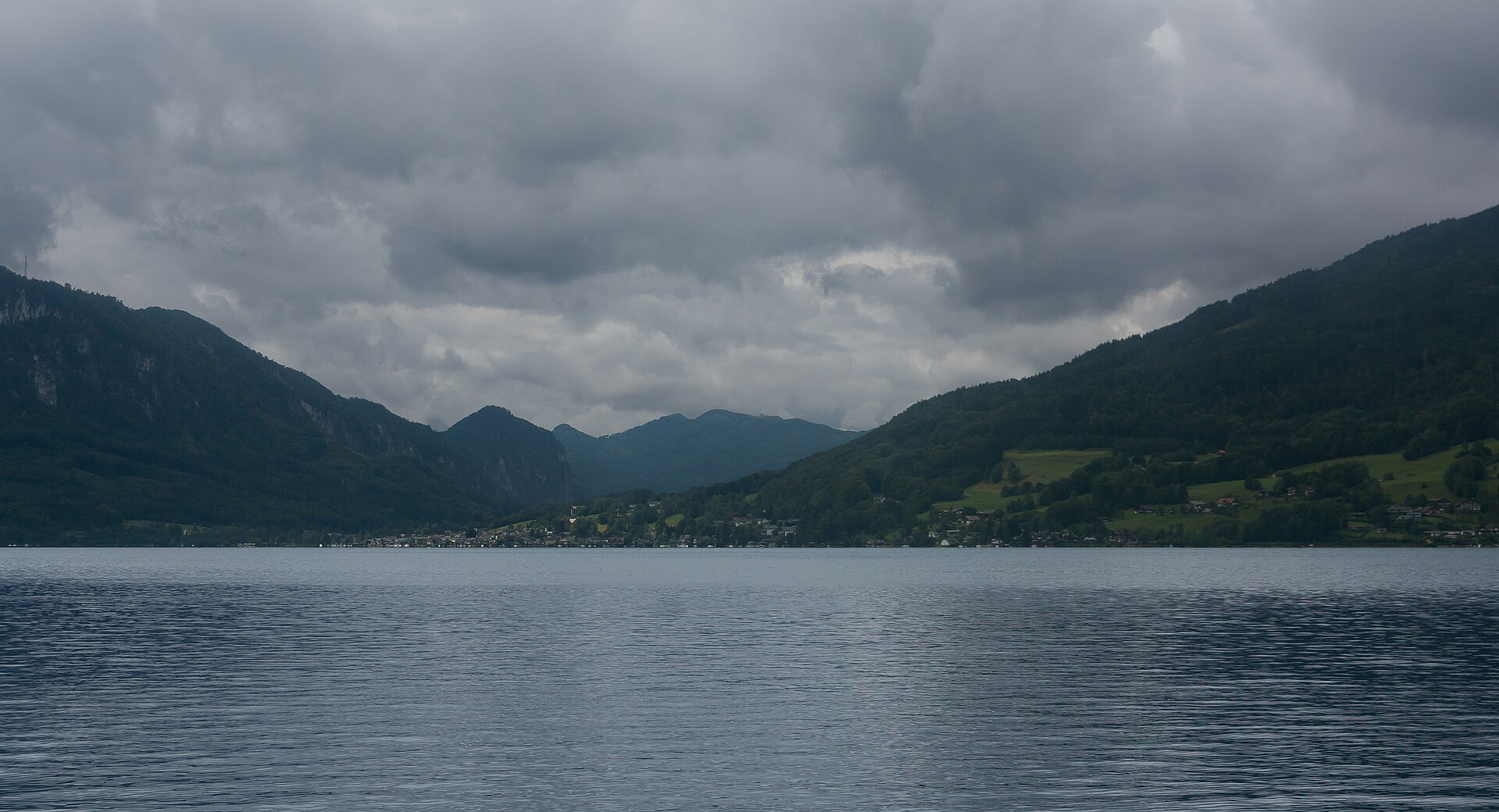
The steep eastern shore of the Attersee at lake level, hemmed in by the Höllengebirge, and the largest municipality by area in its district.
- 1Highlights
- 6Routes
Highlights
14 from neighbouring places
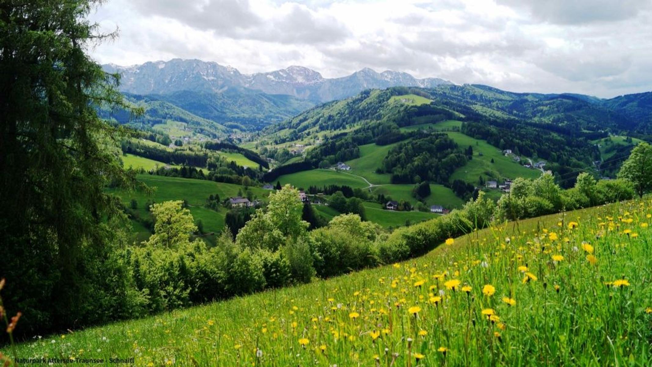
Naturpark Attersee-Traunsee
A nature park between the Attersee and the Traunsee, known for its variety of rare old plum cultivars.
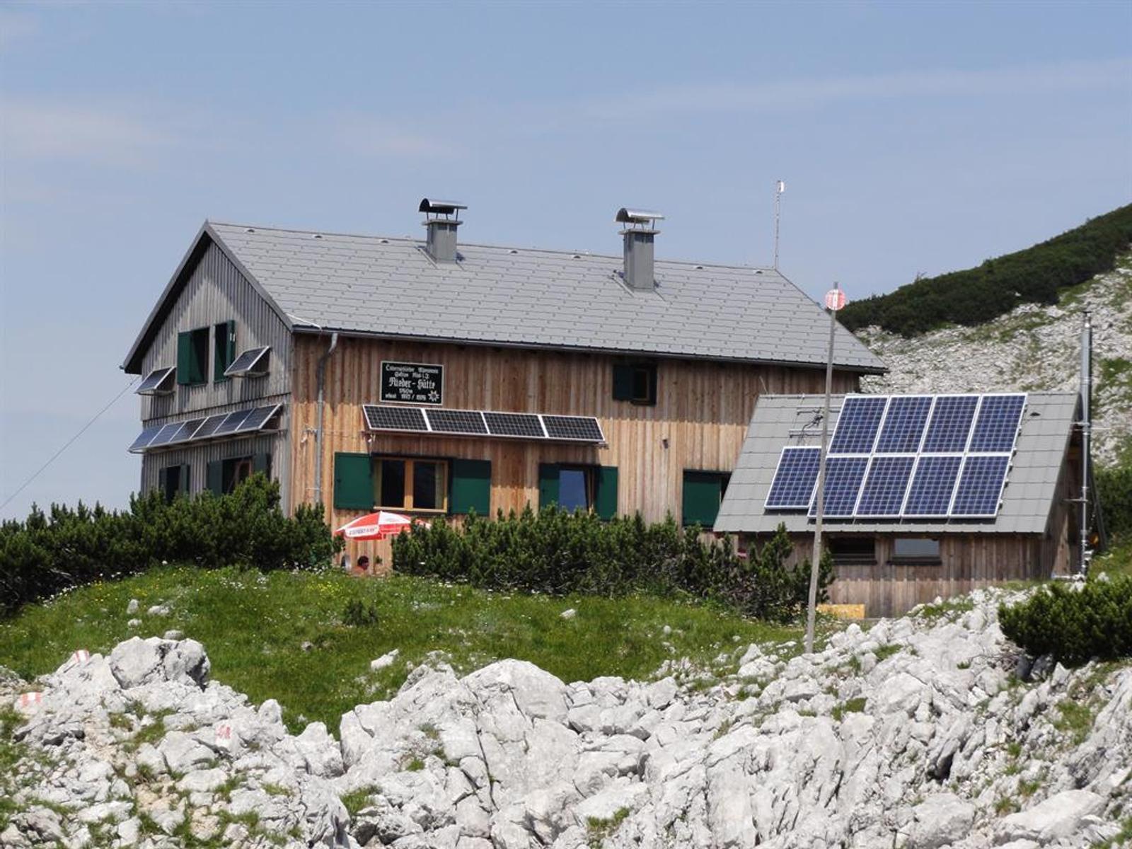
Rieder Hütte
7.8 km away, in Ebensee am Traunsee
A hut at 1,765 m in the Höllengebirge on the European long-distance path E4, close to the Großer Höllkogel.
Schwarzensee
8.8 km away, in St. Wolfgang im Salzkammergut
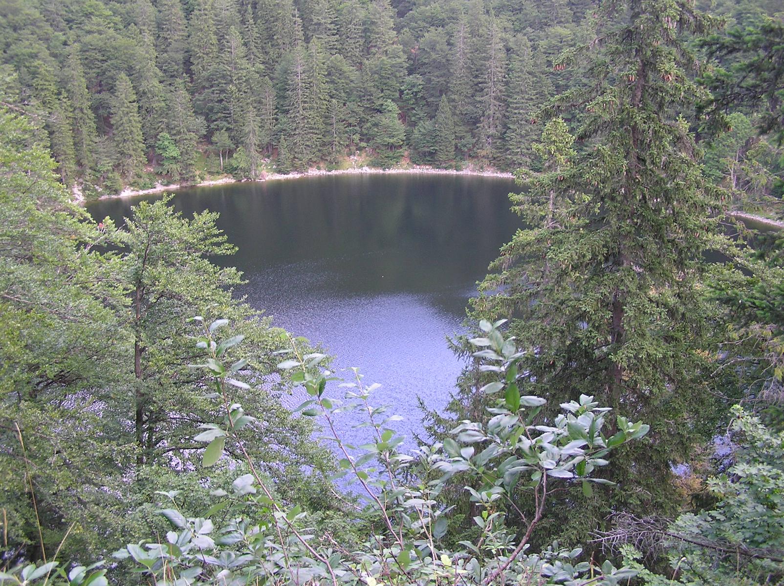
A forest lake in the hills above St. Wolfgang, a walking destination from the village.
Langbathsee Stüberl
9 km away, in Ebensee am Traunsee
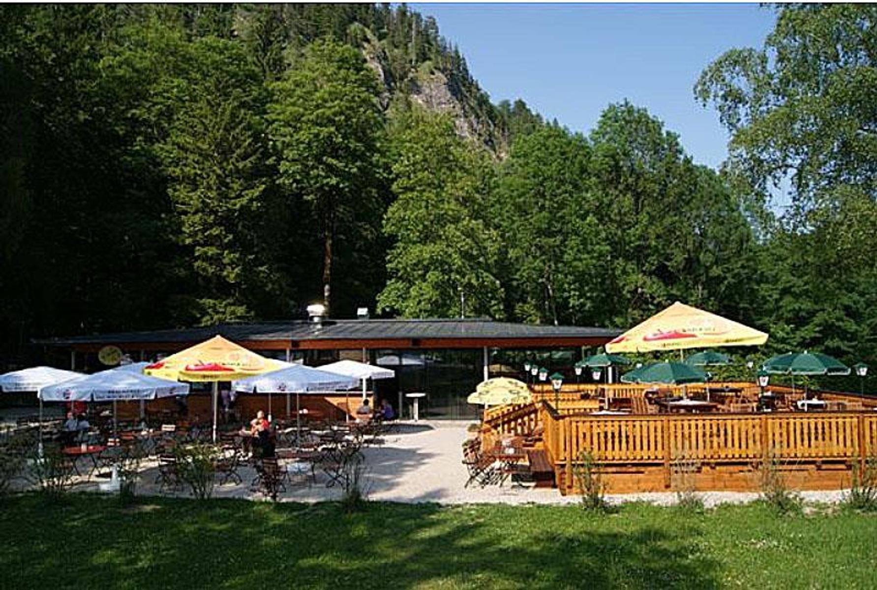
A snack station at the Langbathsee above Ebensee, at the car park for the two lakes.
Mönichsee
10.2 km away, in St. Wolfgang im Salzkammergut
A small lake in the hills above St. Wolfgang, reached only on foot.
Berggasthof Edelweiss
10.8 km away, in Ebensee am Traunsee
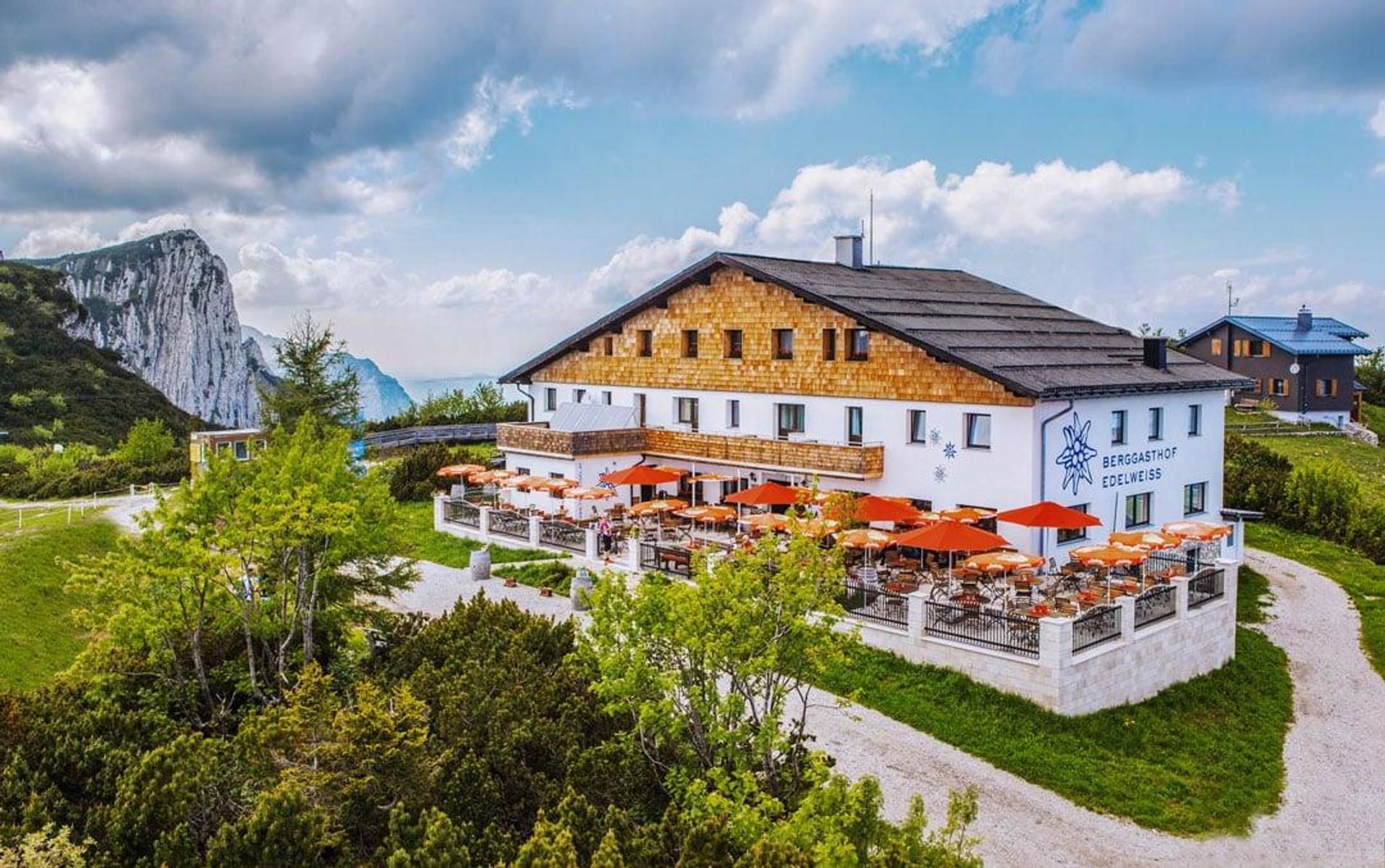
A mountain inn on the Feuerkogel, reached only by the cable car from Ebensee.
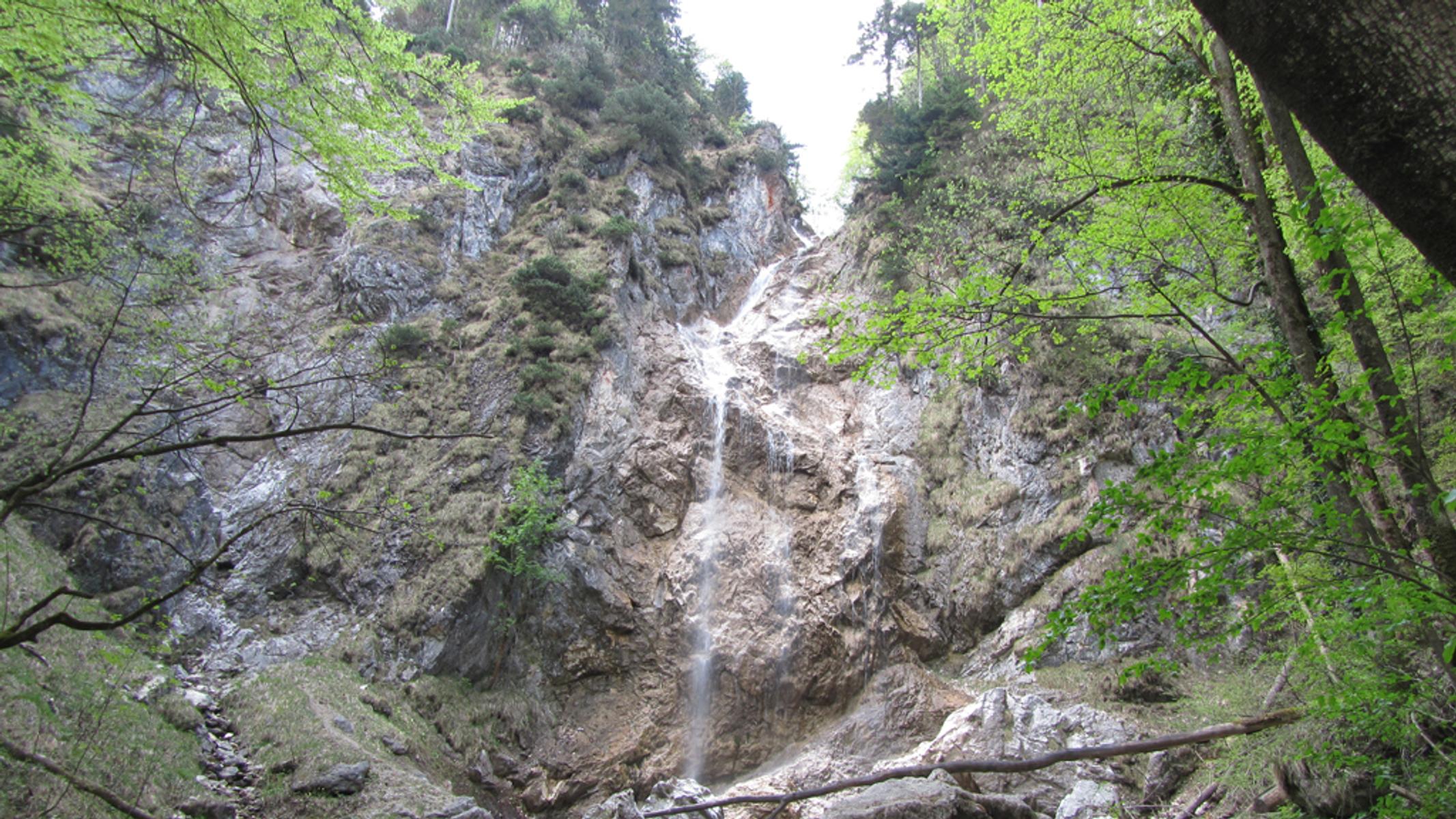
Wasserfall Kreuzstein
11.1 km away, in Sankt Gilgen
A waterfall at Kreuzstein on the wooded slope above the Wolfgangsee.
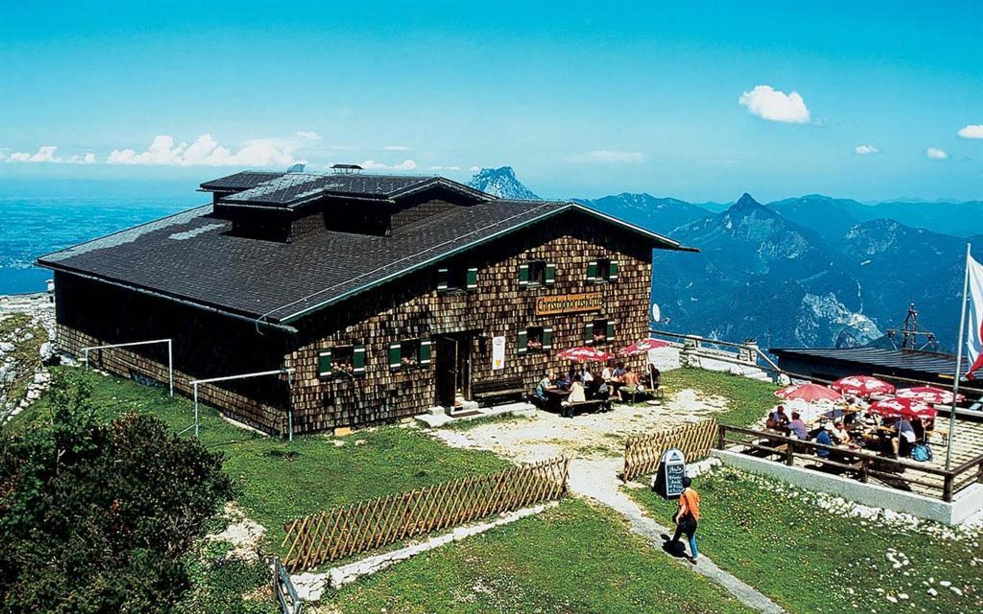
Berggasthof Christophorushütte
11.1 km away, in Ebensee am Traunsee
A mountain inn on the Feuerkogel above Ebensee; rooms by telephone or email.
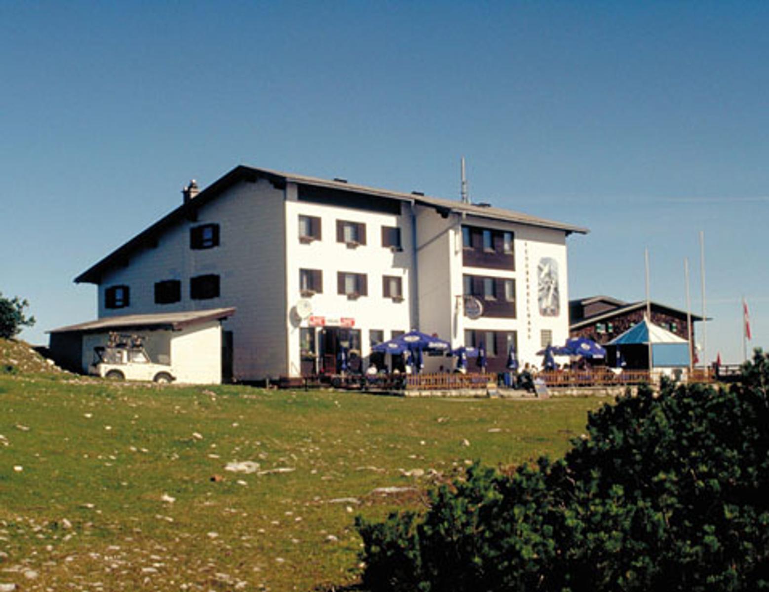
Berggasthof Feuerkogelhaus
11.1 km away, in Ebensee am Traunsee
A mountain inn on the Feuerkogel above Ebensee, with a panelled parlour and rooms looking out over the plateau.
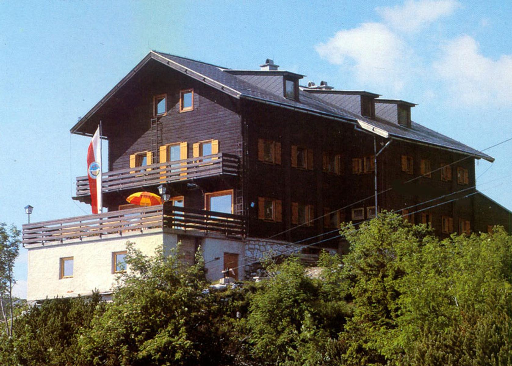
Berggasthof Kranabethhütte
11.2 km away, in Ebensee am Traunsee
A hut on the Feuerkogel above Ebensee, reopened in 2012 after refurbishment, with two parlours and a large sun terrace.
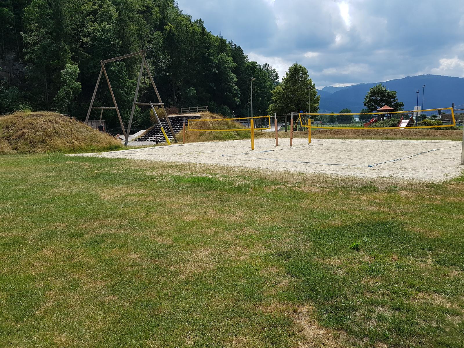
Spielplatz und Freizeitpark St. Wolfgang
11.4 km away, in St. Wolfgang im Salzkammergut
A playground and leisure park in St. Wolfgang.
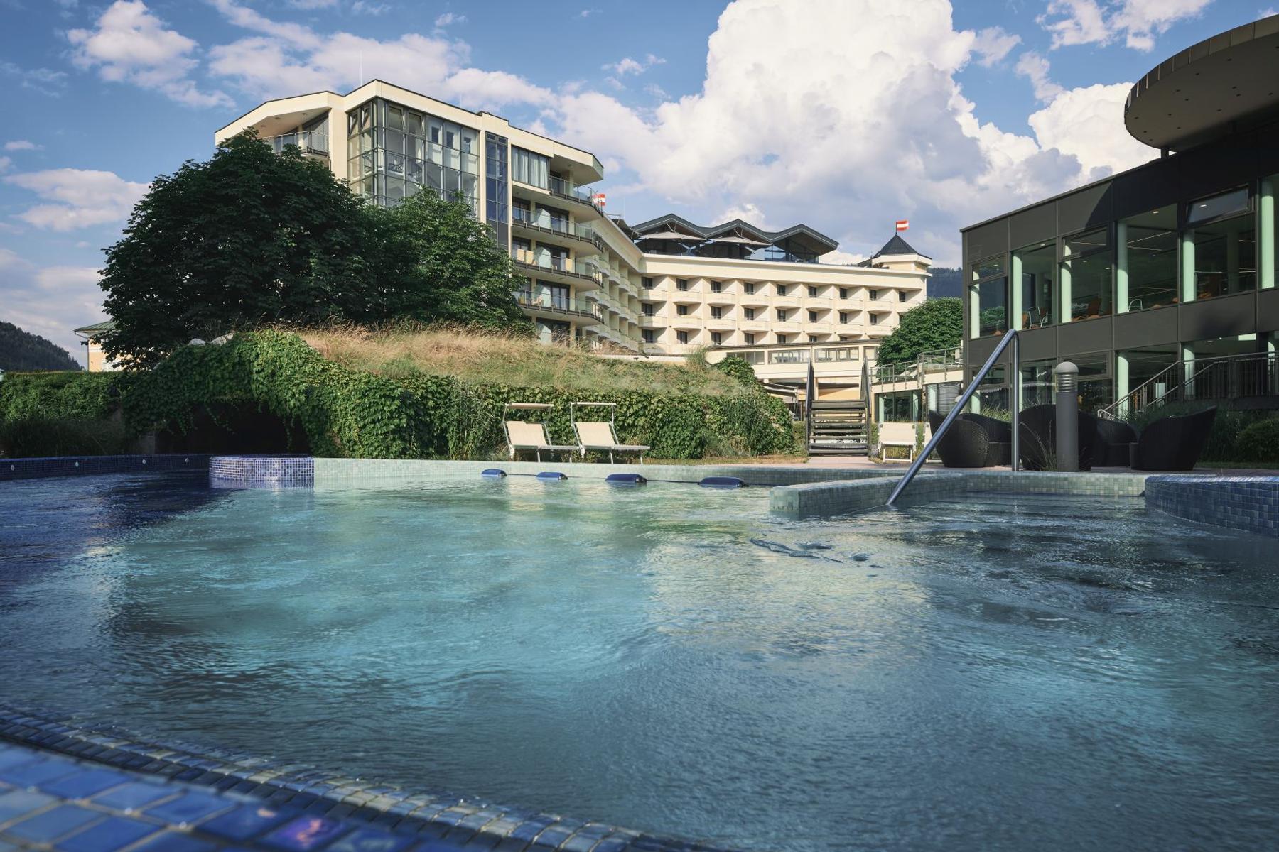
EurothermenResort Bad Ischl
11.8 km away, in Bad Ischl
A thermal spa resort in Bad Ischl with indoor and outdoor pools and a sauna landscape, open year-round.
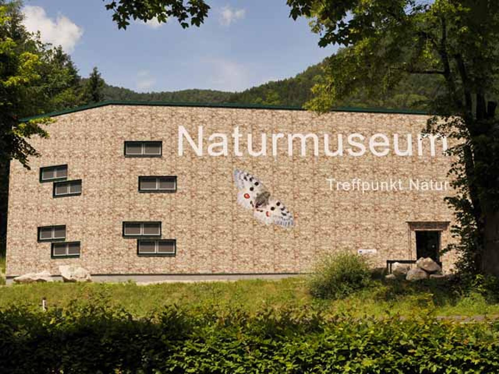
Naturwelten
11.9 km away, in Ebensee am Traunsee
A natural history exhibition in Ebensee, with guided tours for groups.
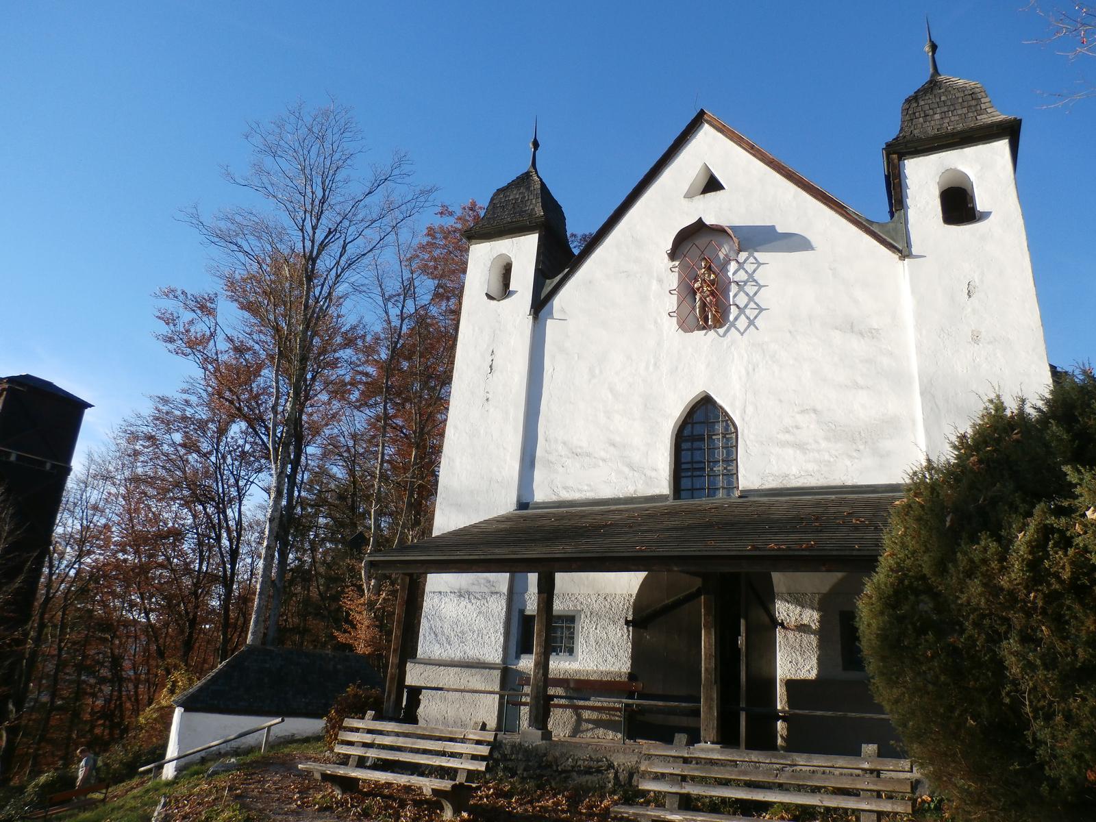
Kalvarienbergkirche
12.4 km away, in St. Wolfgang im Salzkammergut
The Calvary church above St. Wolfgang.
 Mountain hut
Nothing of this kind in Steinbach am Attersee.
Routes
14 from neighbouring places
BergeSeen Trail 02: Windlegern/Hochsteinalm
A varied day stage on forest roads and woodland paths above Ebensee, taking in wide views and a place to stop for refreshment.
- 21.9 km
- Distance
- 787 m
- Ascent
- 7 h 23 min
- Duration
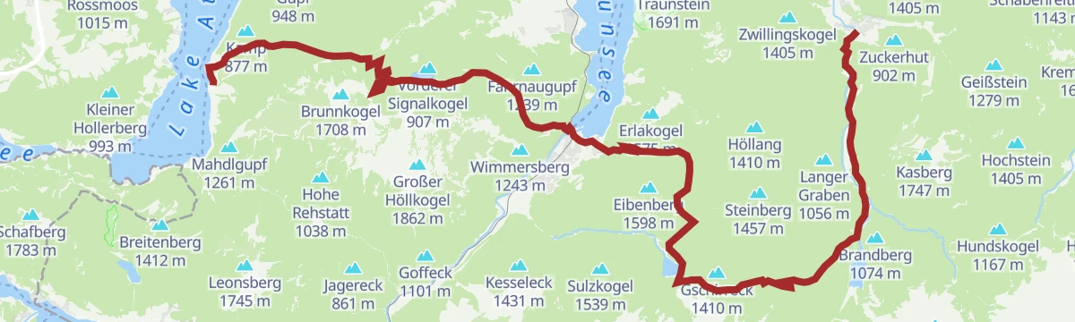
BergeSeen 09 mit dem eMTB von Grünau im Almtal nach Steinbach am Attersee
A long BergeSeen stage crossing the hills from Grünau im Almtal over to Steinbach am Attersee in the Salzkammergut.
- 65.9 km
- Distance
- 2 020 m
- Ascent
- 7 h 45 min
- Duration
3-Seen Tour / Radmarathon Tour C
The shortest of the Mondsee five-lake marathon courses, laid out for road bikes in the Salzkammergut.
- 76.3 km
- Distance
- 862 m
- Ascent
- 7 h 35 min
- Duration
BergeSeen Trail H2: Rieder Hütte
A long, mostly level stage on the heights above Ebensee am Traunsee, one leg of the Salzkammergut BergeSeen route.
- 15.4 km
- Distance
- 337 m
- Ascent
- 4 h 27 min
- Duration
Attersee-Mondsee Variante
A long road variant linking the Attersee and the Mondsee, over a hundred kilometres round the two lakes.
- 104.0 km
- Distance
- 1 128 m
- Ascent
- 10 h 17 min
- Duration
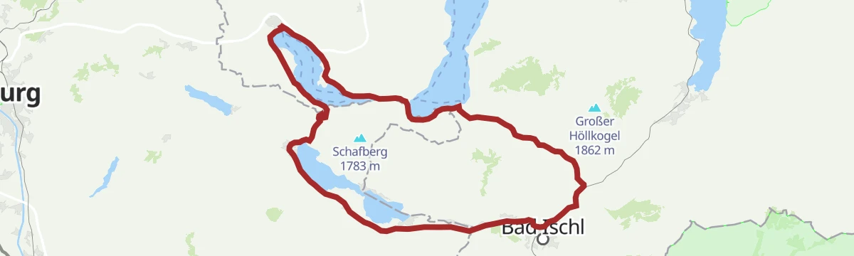
Die 3-Seentour
A gravel route along the shores of three Salzkammergut lakes, the Wolfgangsee, Attersee and Mondsee.
- 63.4 km
- Distance
- 609 m
- Ascent
- 6 h 12 min
- Duration
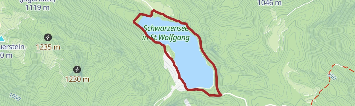
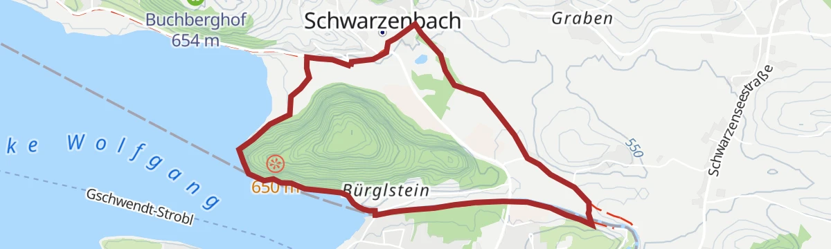
Schwarzenseerunde
9 km away, in St. Wolfgang im Salzkammergut
A short and easy round at the Schwarzensee, the lake in the hills behind St. Wolfgang.
- 3.9 km
- Distance
- 90 m
- Ascent
- 1 h 9 min
- Duration
Zum Halleswiessee
9.9 km away, in St. Wolfgang im Salzkammergut
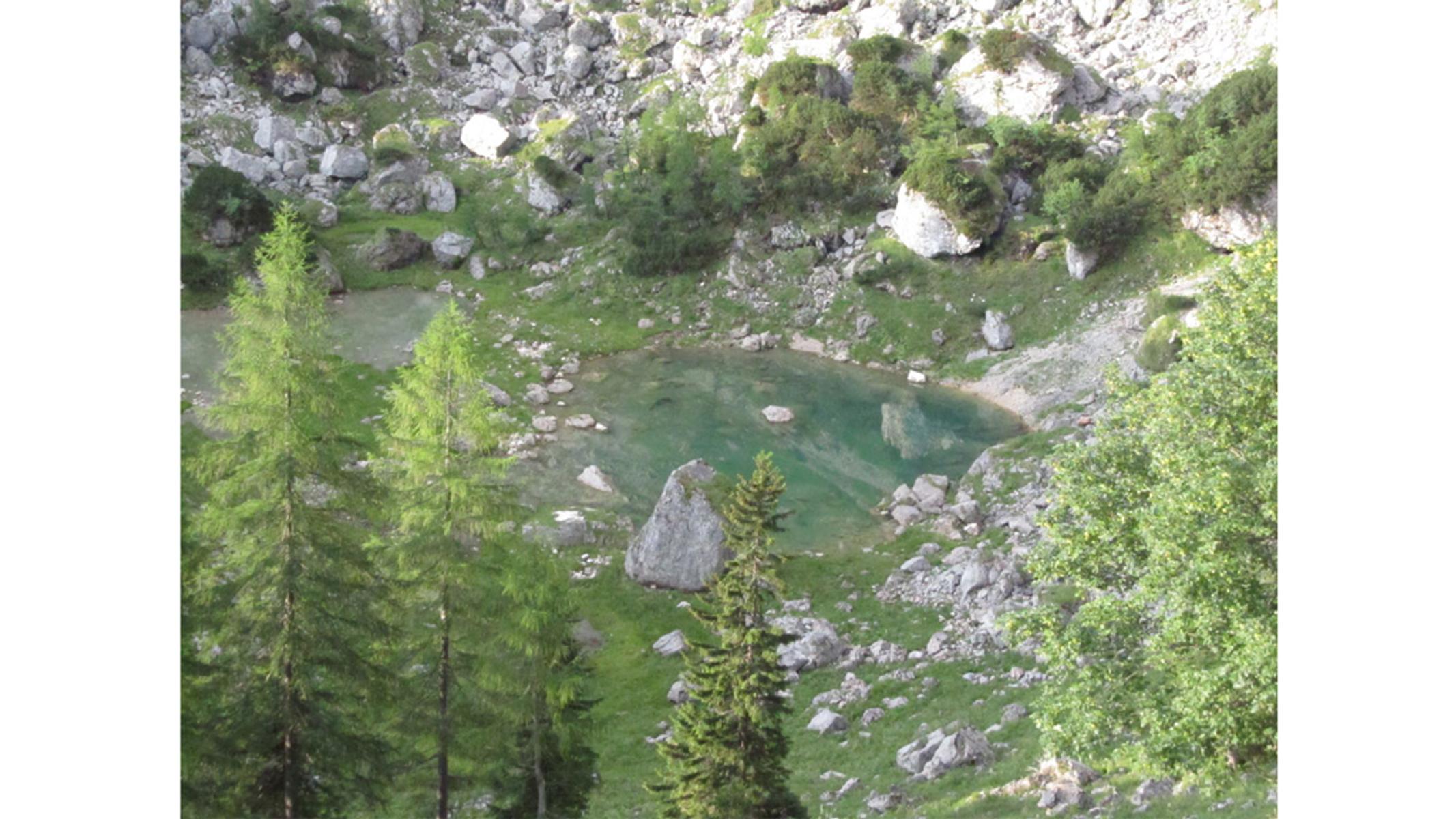
A half-day walk from St. Wolfgang up to a small mountain lake, on a steady climb that is never severe.
- 11.1 km
- Distance
- 359 m
- Ascent
- 3 h 29 min
- Duration
Brustwand Übungsklettersteig / Brustwand / C
13.9 km away, in Strobl
A very short practice via ferrata on the rock face above Strobl, graded C and used for learning the moves close to the valley.
- 131 m
- Distance
- 35 m
- Ascent
- 10 min
- Duration
BergeSeen 04 mit dem eMTB von Strobl über die Postalm nach Gosau
12.5 km away, in Strobl
A long BergeSeen stage from the centre of Strobl over the Postalm to Gosau, on sealed and unsealed roads with a swing through the Tennengau.
- 70.4 km
- Distance
- 1 890 m
- Ascent
- 8 h 2 min
- Duration
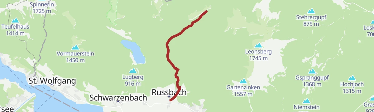
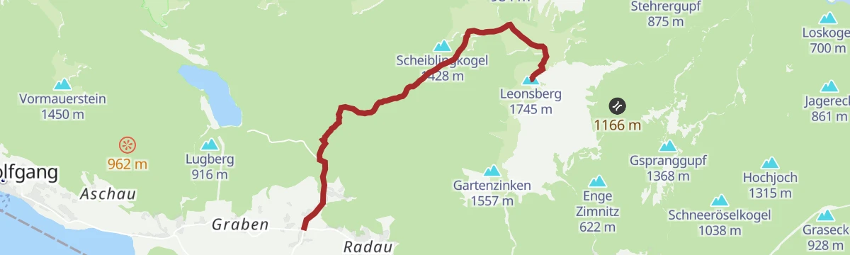
Leonsberg
10 km away, in St. Wolfgang im Salzkammergut
A steep climb to a summit above the Wolfgangsee, with well over a thousand metres of ascent in under eight kilometres.
- 7.8 km
- Distance
- 1 188 m
- Ascent
- 4 h 38 min
- Duration
Die Schafberg Tour
12.4 km away, in St. Wolfgang im Salzkammergut
A gravel climb toward the Schafberg above St. Gilgen, taking in the dark water of the Schwarzensee.
- 47.2 km
- Distance
- 1 783 m
- Ascent
- 5 h 52 min
- Duration
Golfrundweg
9.9 km away, in St. Wolfgang im Salzkammergut
An easy circuit around the golf course above St. Wolfgang, level enough for a short evening walk.
- 5.1 km
- Distance
- 100 m
- Ascent
- 1 h 26 min
- Duration
Über den Wasserfallweg zur Eisenauer Alm
11 km away, in Sankt Gilgen
A steep, varied climb from the shore of the Mondsee past a waterfall to a working dairy hut on the alp above the lake.
- 3.4 km
- Distance
- 530 m
- Ascent
- 2 h 3 min
- Duration
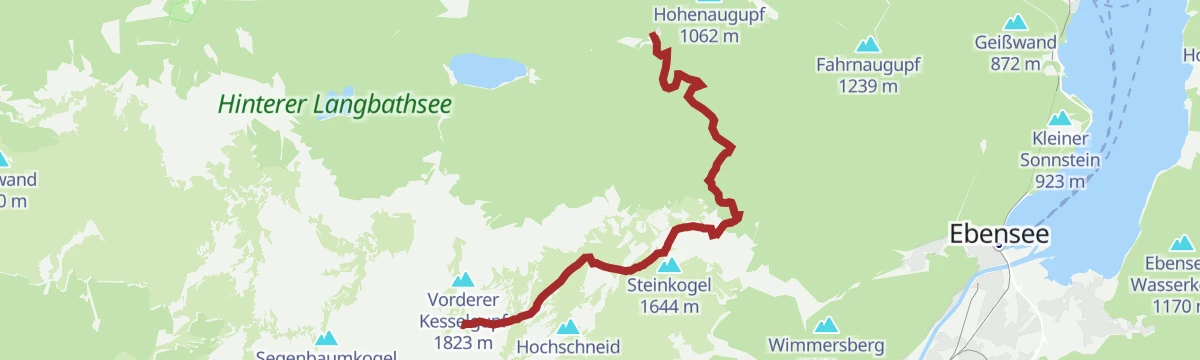
BergeSeen Trail H1: In der Kreh
10.8 km away, in Ebensee am Traunsee
A climb into the Höllengebirge by forest road and a steep path, then a crossing of the karst plateau on well-marked mountain trails.
- 9.4 km
- Distance
- 1 252 m
- Ascent
- 5 h 16 min
- Duration
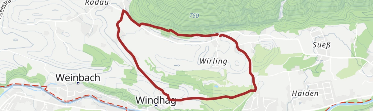
Schwarzenbach Runde
11.4 km away, in St. Wolfgang im Salzkammergut
An easy, nearly flat circuit along the stream near St. Wolfgang, suitable for an unhurried hour on foot.
- 5.4 km
- Distance
- 75 m
- Ascent
- 1 h 27 min
- Duration
Rundweg zum Nachdenken und Genießen
12.3 km away, in Sankt Gilgen
A contemplative circuit on the flanks of the Schafberg, part of the Orte des Glaubens series, looking out to the Mondsee, Attersee and Wolfgangsee.
- 8.8 km
- Distance
- 355 m
- Ascent
- 2 h 56 min
- Duration
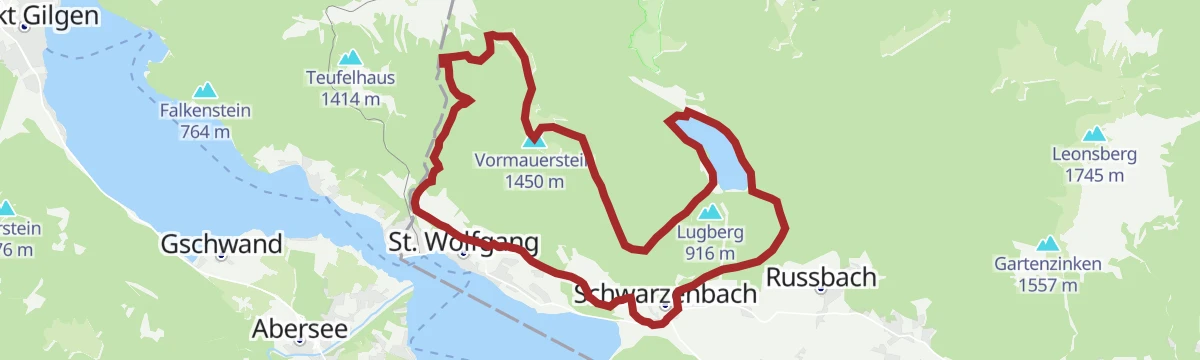
Drei Seen um St. Wolfgang
11.2 km away, in St. Wolfgang im Salzkammergut
A demanding round of three lakes near St. Wolfgang, half-marathon length, taking in some that see far fewer visitors than the rest.
- 22.1 km
- Distance
- 1 146 m
- Ascent
- 8 h 18 min
- Duration
Wanderweg zur Hochsteinalm von Langbathtal aus
11.7 km away, in Ebensee am Traunsee
A short, steep walk up from the Langbathtal near Ebensee, climbing directly to the alpine pastures on the slope above.
- 2.1 km
- Distance
- 272 m
- Ascent
- 1 h 36 min
- Duration
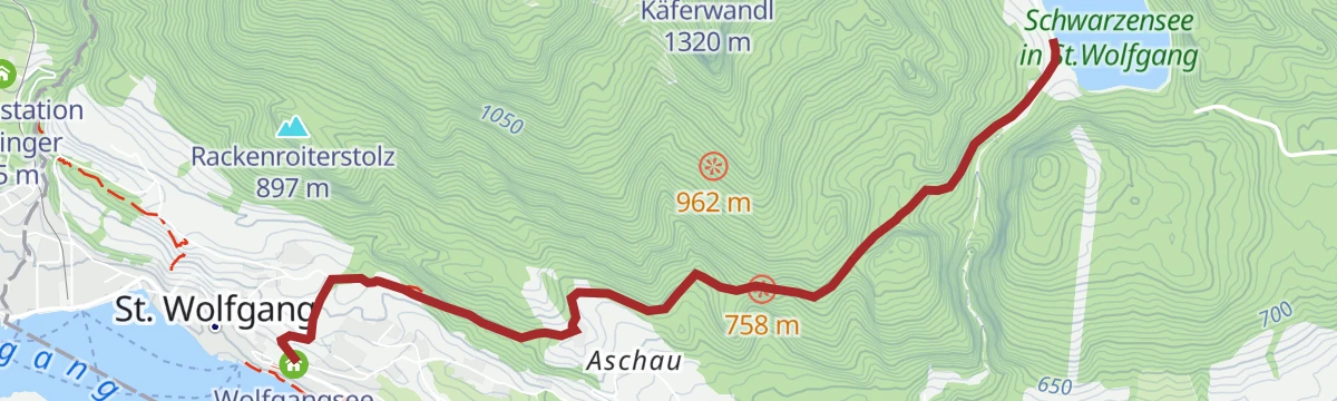
Zum Schwarzensee
12.3 km away, in St. Wolfgang im Salzkammergut
A moderate walk out of St. Wolfgang to the lake at Schwarzensee, following the valley in and returning the same way.
- 9.1 km
- Distance
- 354 m
- Ascent
- 3 h 1 min
- Duration









No routes of this kind in Steinbach am Attersee yet.
Planning a trip to Steinbach am Attersee?
Everything else Upper Austria has, in one place


Take Steinbach am Attersee with you into the mountains
Every route on this page with 3D terrain, GPX navigation and offline maps — including the valleys with no signal.
Data sources
- Official website: traunsee-almtal.salzkammergut.at ↗
- Routes and highlights: Salzkammergut
- Published as open data by the tourist boards named above.
- Region summary generated from the board's own material.
