
 Mountain hut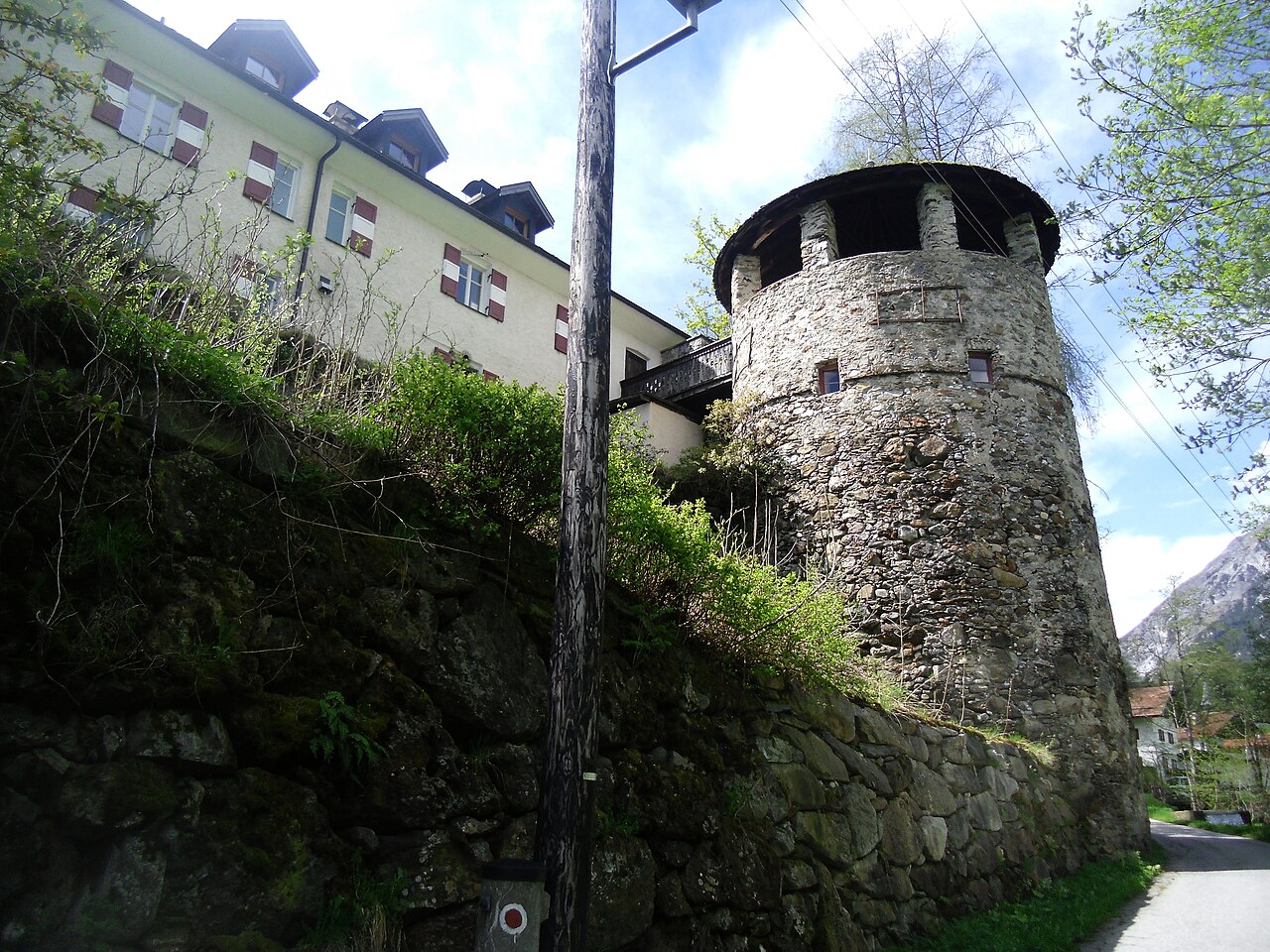
 Historic site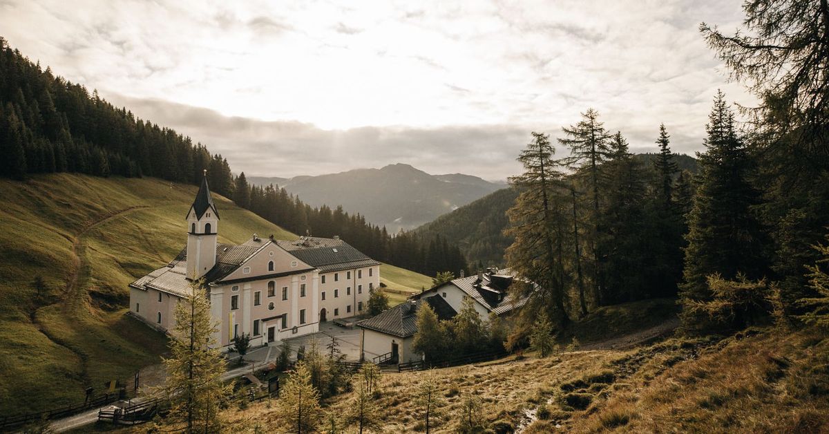











Curated by Wipptal Tourismus
Steinach am Brenner
Market town in the middle Wipptal at about 1050 m, at the mouth of the Gschnitztal, with the Bergeralm lifts and the Brenner Base Tunnel information centre.
- 1Highlights
- 18Routes
- Featured summit · Blaser
Highlights
14 from neighbouring places
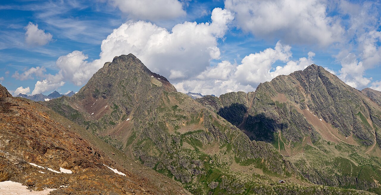
Bremer Hütte
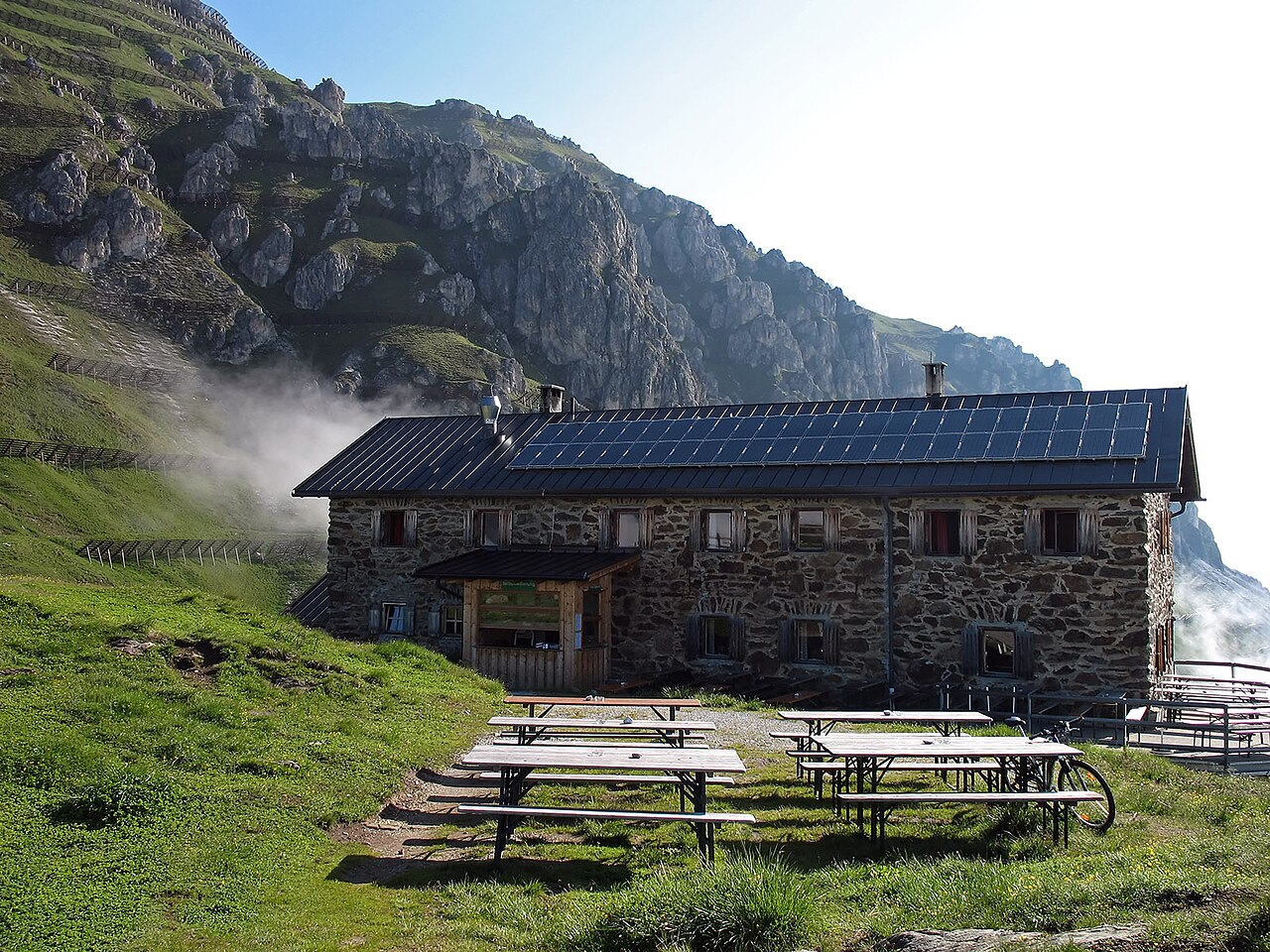
An Alpine Club hut at 2,413 m at the head of the Gschnitztal, crossed by the Stubai High Trail on its stage to the Nürnberger Hütte.
Schloss Schneeberg
5.5 km away, in Trins
A historic castle in the Wipptal, the Tirolean valley running south from Innsbruck towards the Brenner Pass, counted among the area's sights.
Maria Waldrast 1.640m
7.5 km away, in Mühlbachl
A Servite monastery and pilgrimage church at about 1,640 m below the Serles, with an inn and a spring long credited with healing powers.
Natur Resort Waldrast
7.6 km away, in Mühlbachl
A mountain inn beside the Maria Waldrast monastery below the Serles, reachable on foot or by toll road from Mühlbachl.
Naviser Hütte
8.7 km away, in Navis
A mountain hut in the Navis valley above the village of Navis, a destination for walkers in summer and tobogganers and ski tourers in winter.
 Climbing site https://wellcomeimages.org/indexplus/obf_images/59/75/e90ba921bf07b05b12371a892bad.jpg Gallery: https://wellcomeimages.org/indexplus/image/L0040558.html · CC BY 4.0
Sunblocker
9.3 km away, in Vals
An ice climbing line in the shaded Valser valley of the Wipptal, usually in condition through the cold midwinter weeks.
Ochsenhütte Mieders 1.582m
9.1 km away, in Mieders
A hut at 1,582 m above Mieders in the lower Stubaital, a refreshment stop on walks in the Serles area.
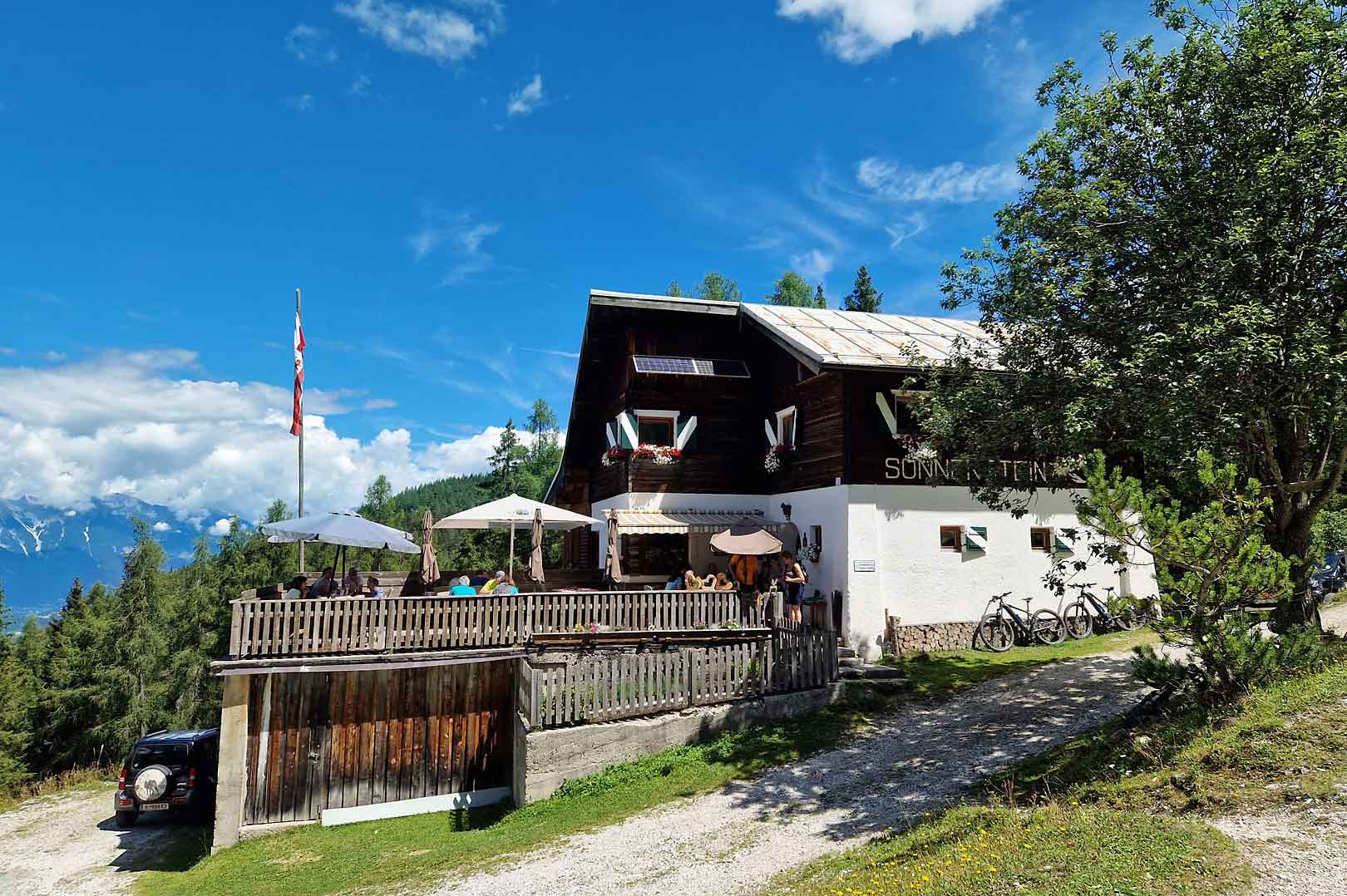
Alpengasthof Sonnenstein 1.400m
10.1 km away, in Mieders
A mountain inn at about 1,400 m above Mieders, sitting on a sunny terrace of the lower Stubaital.
Gullenhütte
10.7 km away, in Mieders
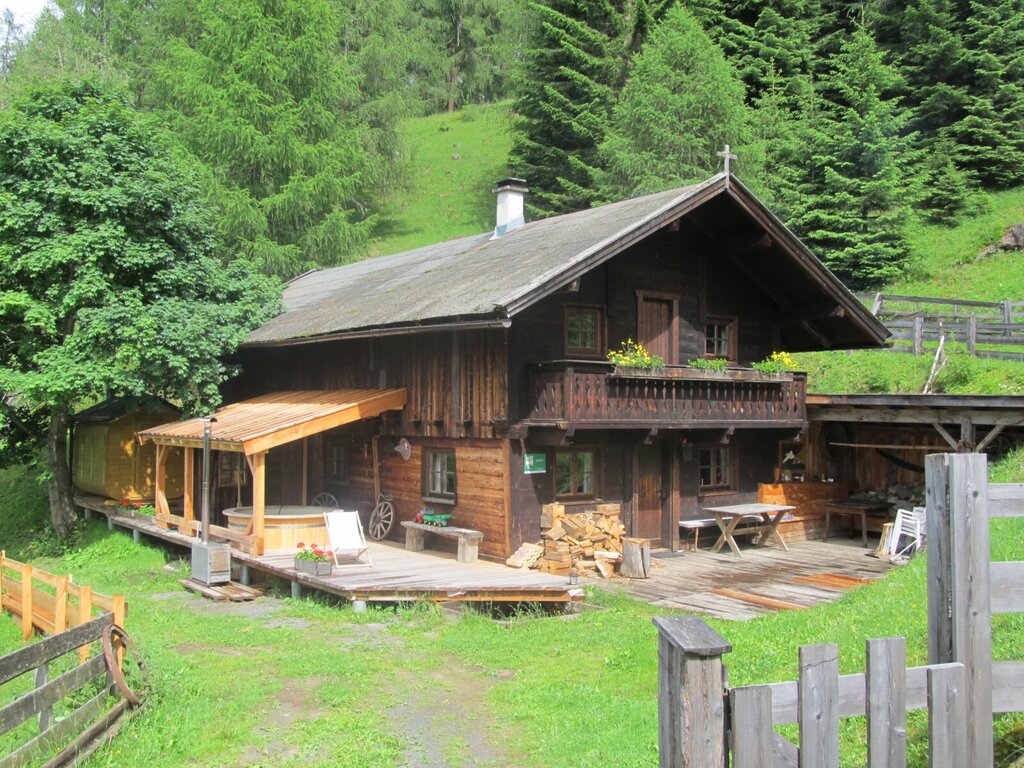
A small hut on a farm above Mieders in the lower Stubaital, offering simple refreshment and farm-holiday lodging.
Stubaier Bergführer GesbR
11.6 km away, in Mieders
The Stubai mountain guides' association in Fulpmes, arranging guided climbing, via ferrata and high-alpine tours across the valley.
Adventurepark Fulpmes mit Hochseilgarten
12 km away, in Fulpmes
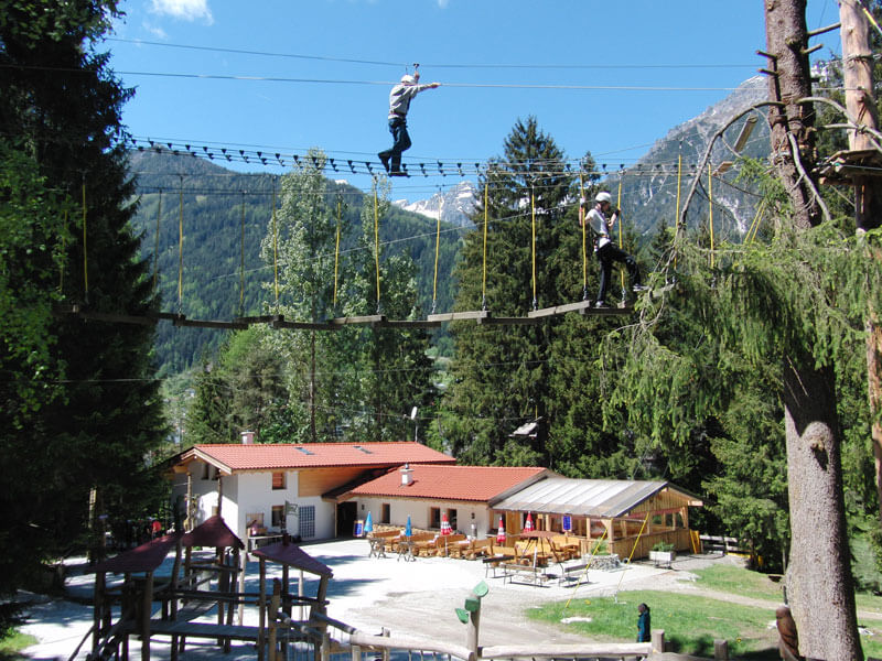
A high-ropes adventure park at Fulpmes with courses of ladders, bridges and zip lines at varying heights among the trees.
Starkenburger Hütte
12.1 km away, in Fulpmes
An Alpine Club hut at 2,237 m on the sunny side of the Stubaital, the customary first stage of the Stubai High Trail, reached from Fulpmes or Neustift.
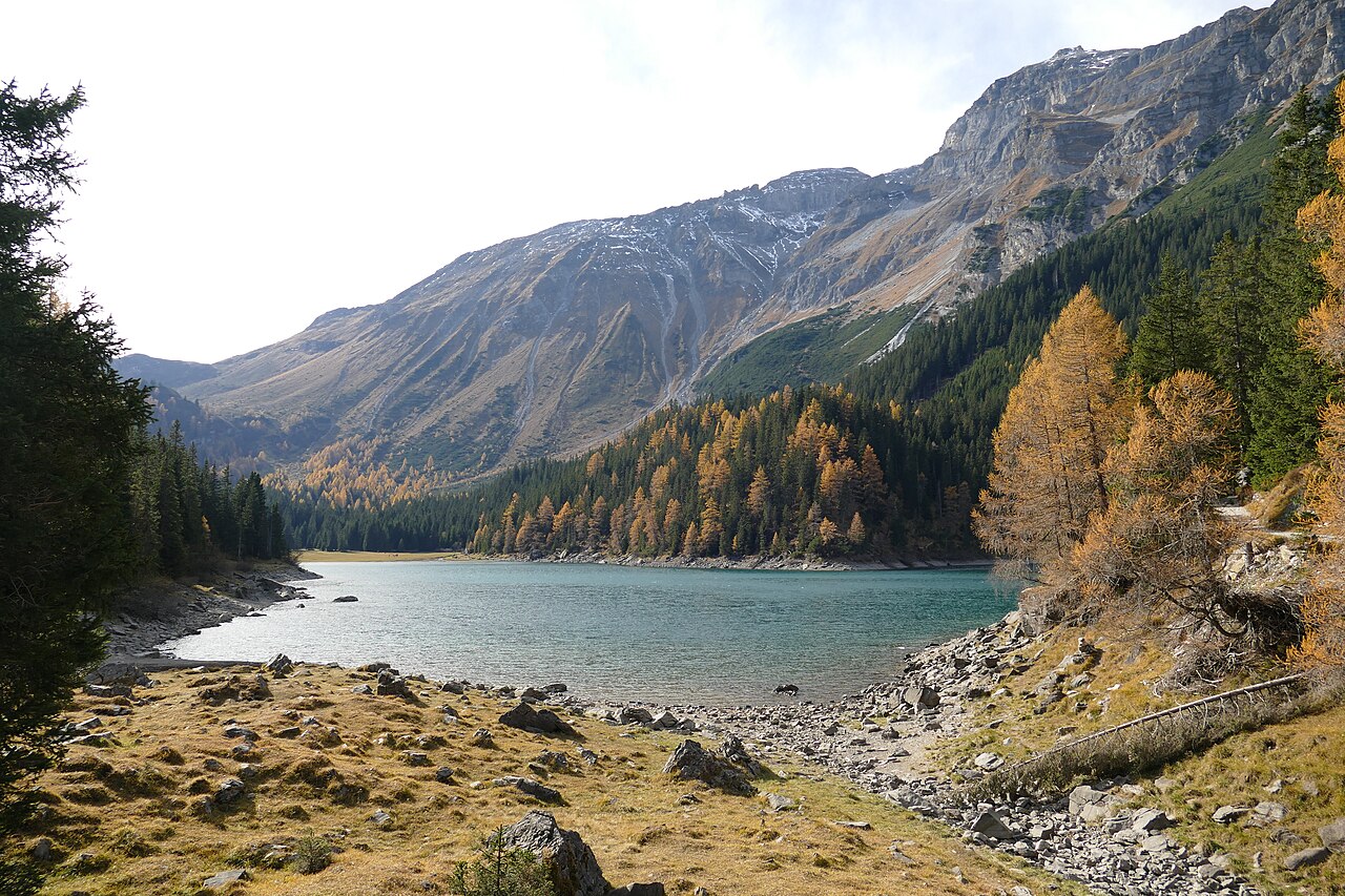
Obernbergersee
12.2 km away, in Obernberg am Brenner
A mountain lake at the head of the Obernberg valley below the Tribulaun peaks, reached by an easy walk from Obernberg am Brenner.
Kampler Seestube 1.000m
12.2 km away, in Neustift im Stubaital
A restaurant at about 1,000 m on the shore of the Kampler See near Neustift, serving bathers and cyclists on the valley route.
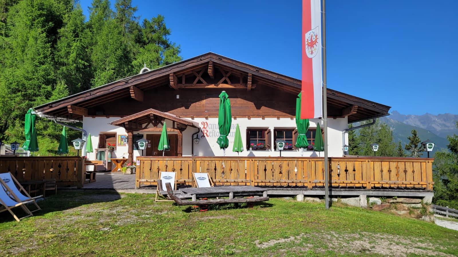
Panoramarestaurant Elfer 1.812m
12.3 km away, in Neustift im Stubaital
A panorama restaurant at 1,812 m by the Elfer lifts' top station above Neustift, with terrace views along the Stubaital.
Nothing of this kind in Steinach am Brenner.
Routes
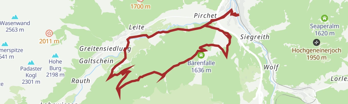
Erlebnisweg Bärenbachl - Bergeralm
A short bear-themed adventure trail at the Bergeralm above Steinach, where play stations like the Bärenfalle line an easy loop for families.
- 2.5 km
- Distance
- 77 m
- Ascent
- 46 min
- Duration
- 11
- Check-ins
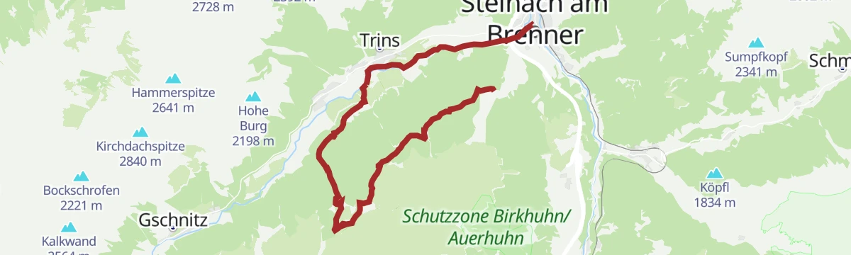
Wasserweg Gschnitztal
Water-themed valley trail through the Gschnitztal between Trins and Gschnitz, linking springs, streams and hut stops below the Tribulaun peaks.
- 25.2 km
- Distance
- 523 m
- Ascent
- 7 h 11 min
- Duration
- 9
- Check-ins
Rundtour Nößlachjoch (2.231 m), Egger Berg (2.280 m) & s'Kreuzl
Summit loop from the Bergeralm above Steinach crossing two grassy 2,200 m tops, with the Vallmeritzalm on the descent and the panorama restaurant at the start.
- 16.4 km
- Distance
- 1 338 m
- Ascent
- 8 h 35 min
- Duration
- 36
- Check-ins
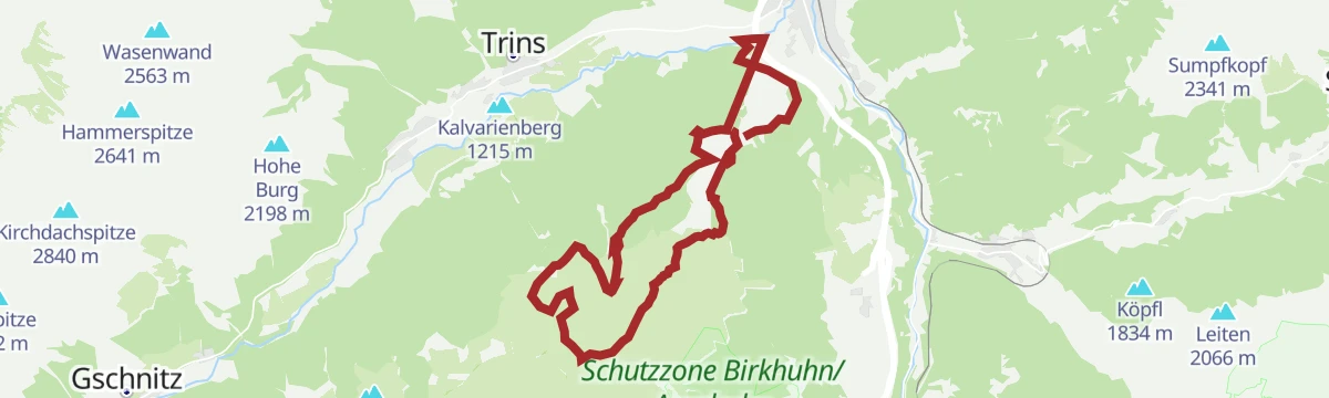
527 Mountainbikerunde Bergeralm-Gerichtsherrnalm Rundtour
A round trip between the Steinach and Trins ski lifts, topping the Kalvarienberg and reaching pastureland at 1,680 m.
- 20.0 km
- Distance
- 708 m
- Ascent
- 2 h 26 min
- Duration
- 8
- Check-ins
528 Mountainbike Nösslach Obernberg Rundtour
A big forest-road circuit above Gries am Brenner, linking the Nösslachhütte, the Kastenalm and the Bergeralm restaurant high above the Wipptal.
- 34.5 km
- Distance
- 1 267 m
- Ascent
- 4 h 15 min
- Duration
- 35
- Check-ins
Fernradweg München-Venezia: 2. Abschnitt, die Schatzkiste Tirol
A long-distance stage down the Inn valley to Innsbruck and then up the Wipptal to the Brenner Pass, with rail stops at Pill-Vomperbach and Steinach.
- 82.0 km
- Distance
- 1 563 m
- Ascent
- 8 h 45 min
- Duration
- 33
- Check-ins
Panoramaweg Padastertal
Short but steep panoramic path above Steinach am Brenner giving open views into the Padastertal and across the Wipptal.
- 5.1 km
- Distance
- 319 m
- Ascent
- 2 h 11 min
- Duration
Rundwanderung Trunahütte
Long circuit from the Bergeralm lift area to the Trunahütte and Gerichtsherrenalm, contouring high above Steinach with mostly gentle gradients.
- 15.9 km
- Distance
- 451 m
- Ascent
- 4 h 50 min
- Duration
- 21
- Check-ins
5093 Hoferalm-Seaperalm
A forest-road climb from Steinach am Brenner to a pair of working alms at around 1,650 m, close by the Padaster Ochsenalm.
- 9.6 km
- Distance
- 732 m
- Ascent
- 1 h 49 min
- Duration
- 5
- Check-ins
Transalp - Sektion Hall - Brenner
A cross-Alpine stage that leaves the Inn valley over the Goldbichl at Rinn, then works up the Wipptal past Matrei and Steinach.
- 38.1 km
- Distance
- 935 m
- Ascent
- 4 h 5 min
- Duration
- 10
- Check-ins
45 Gschnitztalradweg
A valley cycle route up the Gschnitztal from Trins to Gschnitz, passing the ski lift and the Kalvarienberg on the way.
- 14.6 km
- Distance
- 322 m
- Ascent
- 1 h 36 min
- Duration
- 8
- Check-ins
Nösslachjoch & Bergeralm
Sustained climb from the Bergeralm above Steinach to the cross on the Nösslachjoch, nearly 1,200 m up to a wide Wipptal and Zillertal panorama.
- 11.0 km
- Distance
- 1 188 m
- Ascent
- 7 h 13 min
- Duration
- 13
- Check-ins
534 Mountainbike Naviser Bachweg
A valley track up the Navistal from Matrei am Brenner, following the stream as far as the Grünberglift at the head of the side valley.
- 10.6 km
- Distance
- 499 m
- Ascent
- 1 h 25 min
- Duration
- 2
- Check-ins
5091 Mountainbike Vallmeritzalm
A steep forest-road climb from the Bergeralmbahn valley station near Steinach up to the alm at nearly 2,000 m.
- 10.4 km
- Distance
- 964 m
- Ascent
- 2 h 17 min
- Duration
- 2
- Check-ins
30a Wipptalradweg über Römerstraße
A long ride between Steinach am Brenner and the Patscherkofelbahn base station, following the old Roman road above the Wipptal past the Goldbichl.
- 34.5 km
- Distance
- 1 172 m
- Ascent
- 4 h 10 min
- Duration
- 6
- Check-ins
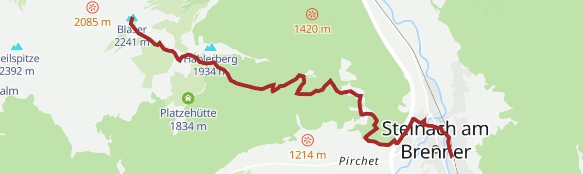
Blaser (2.241 m) vom Bhf Steinach
Train-to-summit route starting right at Steinach station and climbing nearly 1,200 m to the Blaser, the Wipptal's noted flower mountain.
- 7.5 km
- Distance
- 1 199 m
- Ascent
- 6 h 51 min
- Duration
- 12
- Check-ins
Padaster-Seaperalm-Sumpfkopf (2.341)
Very steep route from the Padastertal past the Seaperalm onto the Sumpfkopf at 2,341 m, gaining over 1,250 m in about six kilometres.
- 6.9 km
- Distance
- 1 266 m
- Ascent
- 7 h 7 min
- Duration
- 2
- Check-ins
Wipptaler Wanderweg
Demanding stretch of the Wipptal walking route starting from Ellbögen St. Peter, climbing high over the valley flank with around 1,500 m of ascent.
- 33.2 km
- Distance
- 1 526 m
- Ascent
- 11 h 33 min
- Duration
- 2
- Check-ins
No routes of this kind in Steinach am Brenner yet.
The region's own picks

Featured route
Erlebnisweg Bärenbachl - Bergeralm
A short bear-themed adventure trail at the Bergeralm above Steinach, where play stations like the Bärenfalle line an easy loop for families.
Planning a trip to Steinach am Brenner?
Everything else Tyrol has, in one place


Take Steinach am Brenner with you into the mountains
Every route on this page with 3D terrain, GPX navigation and offline maps — including the valleys with no signal.
Data sources
- Official website: wipptal.at ↗
- Routes and highlights: Wipptal Tourismus, Tourismusverband Stubai Tirol, Region Hall-Wattens
- Published as open data by the tourist boards named above.
- Region summary generated from the board's own material.
