
Curated by Alpbachtal Tourismus
Stans
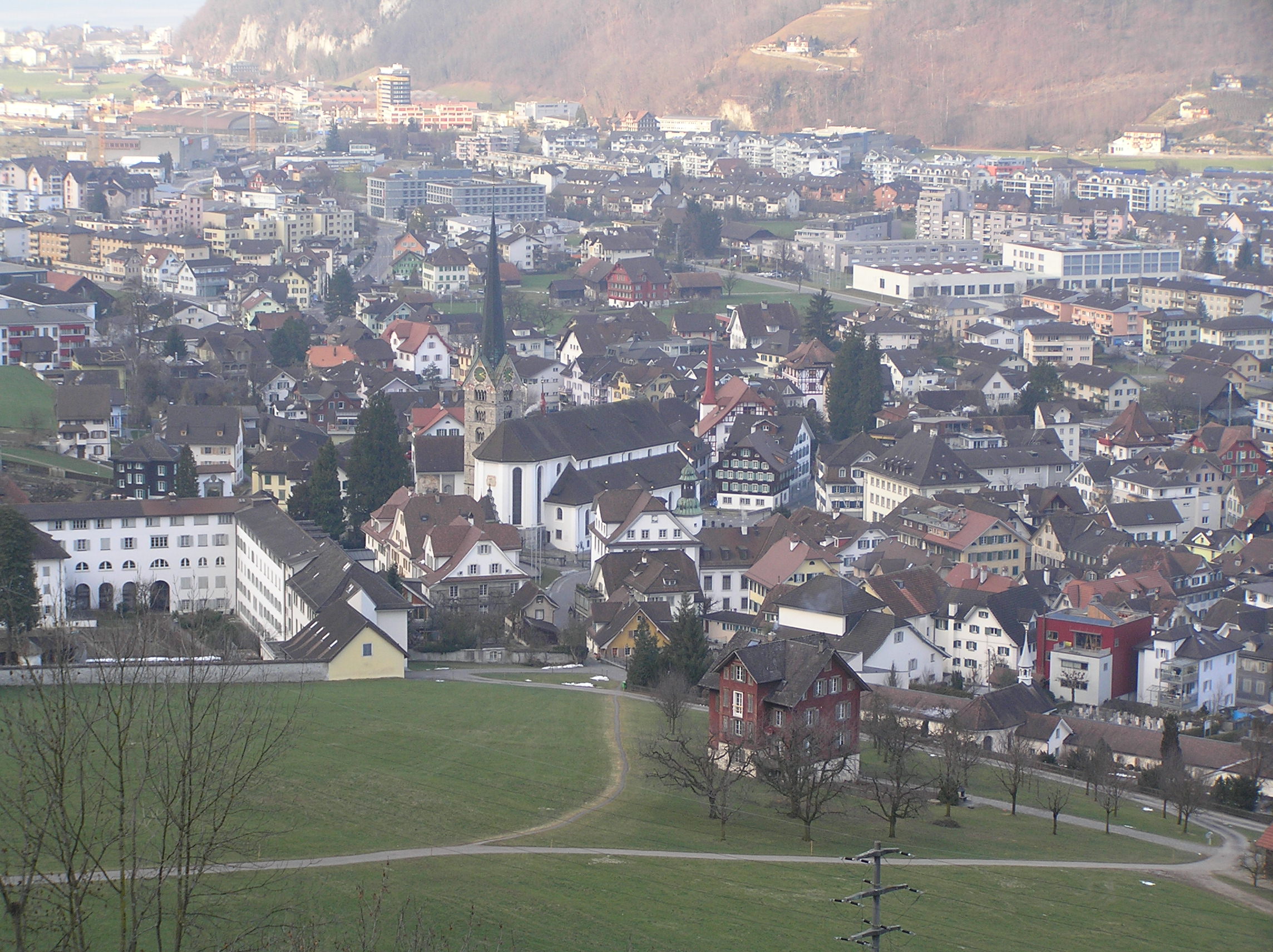
A village at the Inn valley foot of the Karwendel near Schwaz, at the mouth of the Wolfsklamm gorge and below the Renaissance halls of Schloss Tratzberg.
Photo: Tilman AB · Public domain
- 1Highlights
- 5Routes
Highlights
14 from neighbouring places
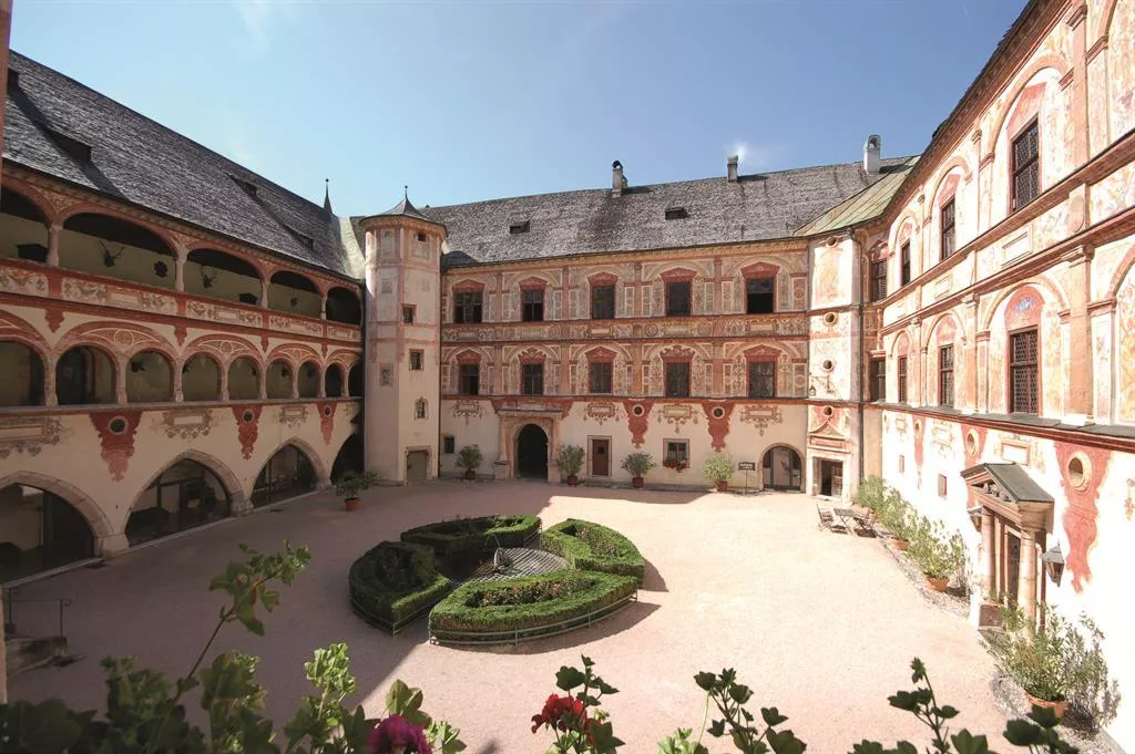
Schloss Tratzberg
A Renaissance castle above the Inn valley near Jenbach, dating from around 1500 and still family-owned, toured with original furnishings and murals.
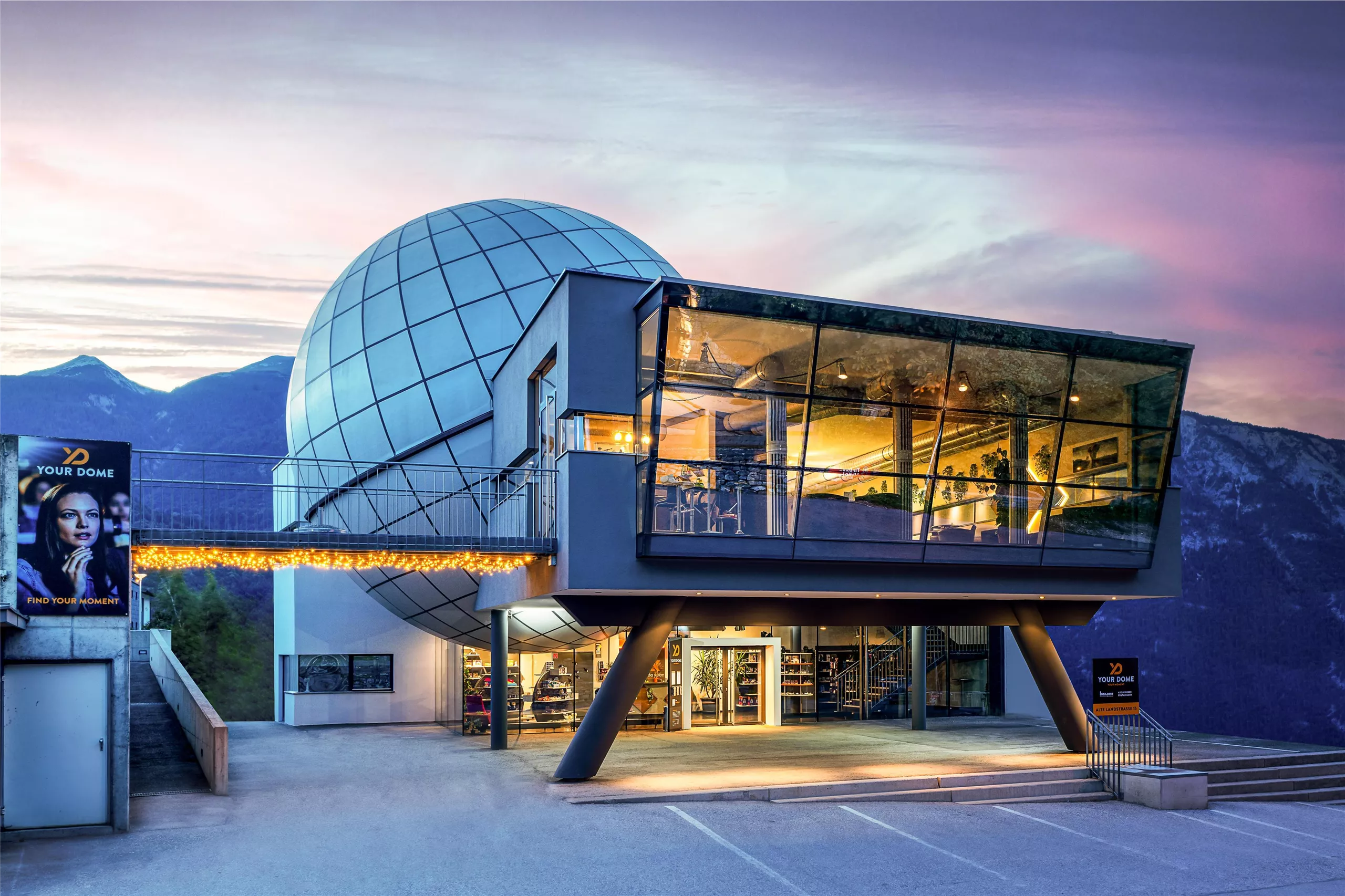
YOUR DOME Tirol
3.4 km away, in Schwaz
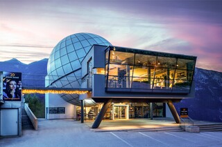
A dome venue at Schwaz in the Inn valley, listed by the Wilder Kaiser board among its longer day-trip destinations.
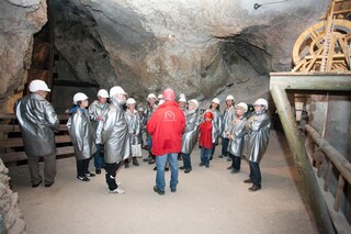
Schwazer Silberbergwerk
3.4 km away, in Schwaz
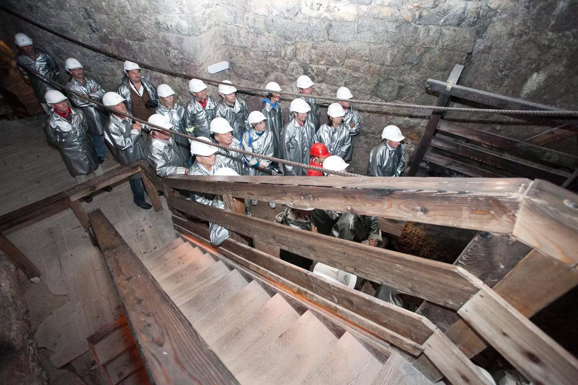
A show mine at Schwaz where visitors ride a mine train into the tunnels of what was, around 1500, one of Europe's most productive silver mines.
Your Dome Tirol - Erlebe Deinen MOMENT
3.4 km away, in Schwaz
A dome venue at Schwaz staging immersive 360-degree projection shows under the motto 'Erlebe Deinen Moment'.
Silberbergwerk Schwaz
3.4 km away, in Schwaz
The medieval silver mine of Schwaz, once among Europe's most productive; a mine train carries visitors deep into the show galleries.
Happy Hopp Vomp
4.6 km away, in Vomp
An indoor play centre for children at Vomp in the Inn valley, a wet-weather day-trip option from the Wilder Kaiser villages.
Haus steht Kopf
6.6 km away, in Vomp
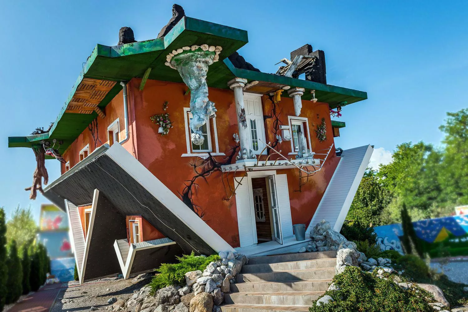
An upside-down house built in the Inn valley near Vomp, its rooms and furnishings fixed overhead for walk-through visits.
Lamsenjochhütte
7.8 km away, in Vomp
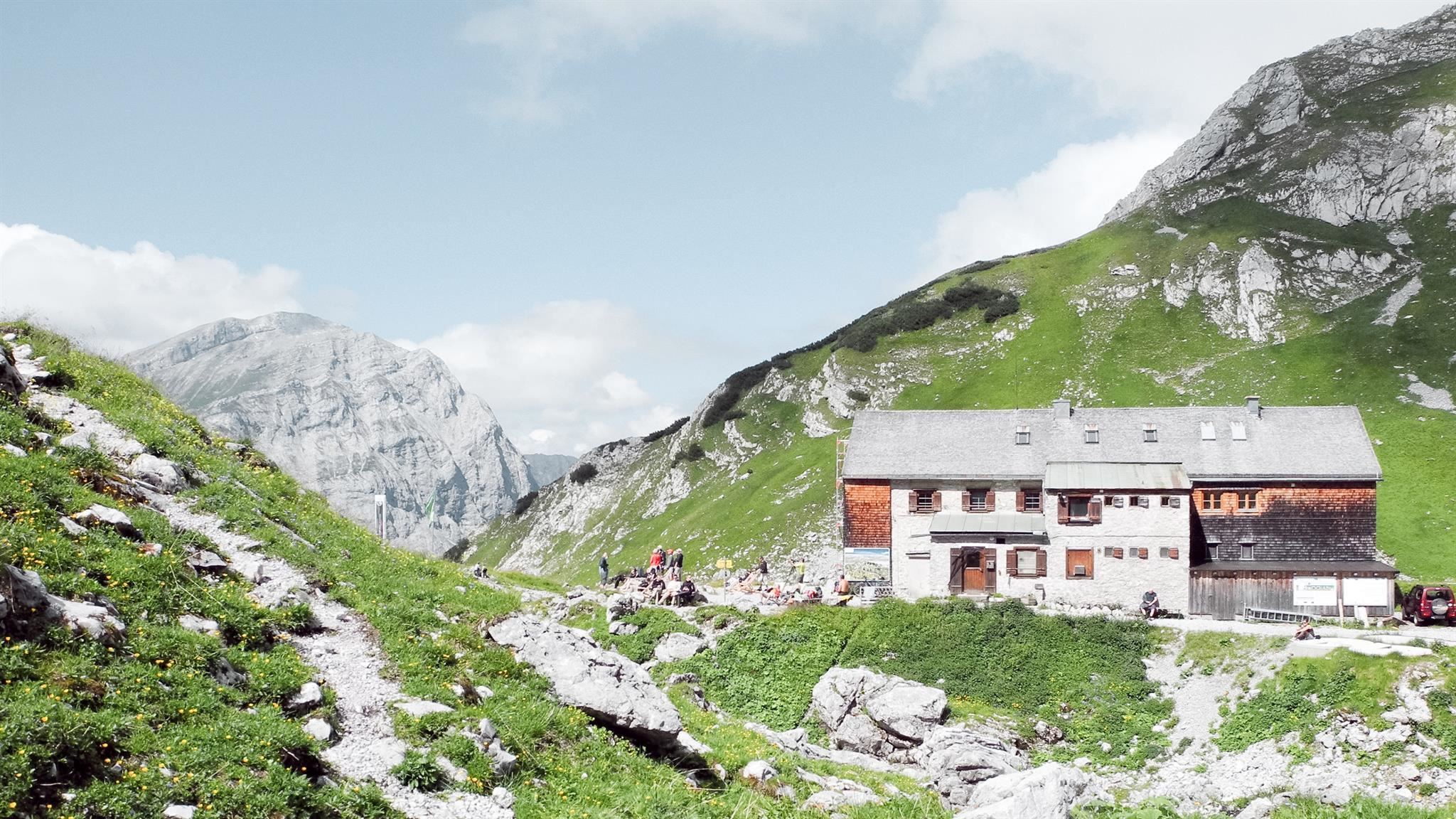
An Alpine Club hut at about 1,950 m below the Lamsenspitze in the eastern Karwendel, serving Austrian dishes to climbers and crossers.
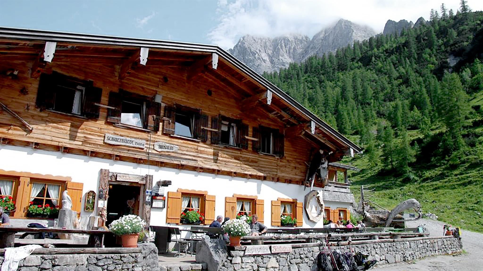
Binsalm
9.9 km away, in Vomp
A managed alm at about 1,500 m above the Eng in the Karwendel, serving regional dishes on the walk toward the Lamsenjoch.
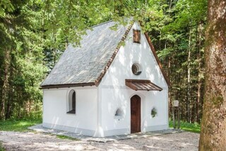
Grünangerl Kapelle
9.4 km away, in Münster
A small chapel called the Grünangerl Kapelle on the green edge of Münster; the name refers to a little meadow (Angerl).
Kristall-Glas Ascher
9.6 km away, in Münster
A family glass workshop in Münster offering cut and engraved crystal glass from its own production.
Hauser Kapelle
9.7 km away, in Münster
A farm chapel at the Hauser farmstead near Münster, typical of the private chapels raised by Inn valley farming families.
Hofer Kapelle
10.4 km away, in Münster
A farm chapel at the Hofer farmstead in Münster, one of numerous small family chapels along the lower Inn.
Jausenstation Walderalm
10.5 km away, in Gnadenwald
A working pasture above Gnadenwald in the Karwendel foothills, serving snacks and its own dairy produce with views across the Inn valley.
Friedhofskapelle
10.5 km away, in Münster
The cemetery chapel of Münster, standing among the graves beside the village parish church in the lower Inn valley.


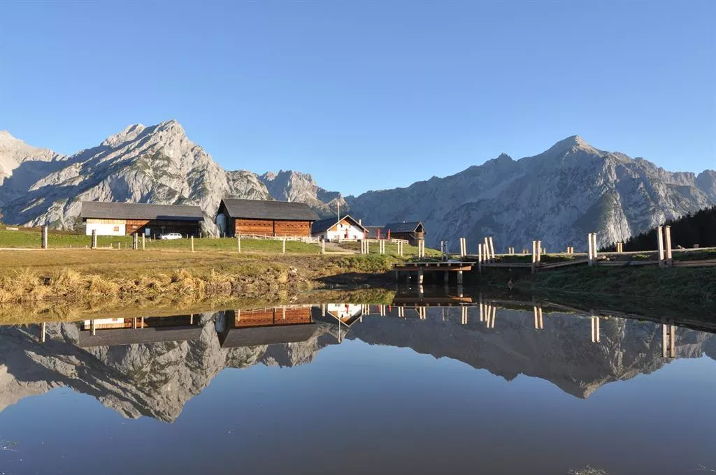
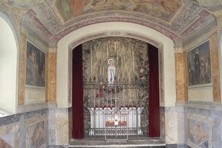
Nothing of this kind in Stans.
Routes
15 from neighbouring places
Oberes Unterinntal leichte Rennradtour in Wattens, Tirol
A long, almost flat tour along the Inn valley floor past Schloss Tratzberg, with little more than 300 m of climbing in 75 km.
- 75.7 km
- Distance
- 360 m
- Ascent
- 7 h 3 min
- Duration
- 15
- Check-ins
 Grillalm 523 m
- Hotel Schwarzbrunn 569 m
- Ticket Office 553 m
- Seminarhaus Schloss Tratzberg 544 m
- ECON Holzbau- Zimmerei 530 m
 Maoribrunnen beim Dorfinstallateur 520 m
- +2
Rennrad 17 Highway to Höll - auf den Spuren der Rad WM 2018
A long ride on the roads of the 2018 world championships, out along the Inn valley and up to the Hungerburg terrace above Innsbruck.
- 110.0 km
- Distance
- 1 100 m
- Ascent
- 10 h 47 min
- Duration
- 42
- Check-ins
Rennrad 14 Hinterhorn Alm
A long road day up the Inn valley from Radfeld, finishing with the toll-road climb to the alm at 1,522 m north of Hall in Tirol.
- 93.9 km
- Distance
- 1 328 m
- Ascent
- 9 h 35 min
- Duration
- 36
- Check-ins
Rennrad 15 Oberes Unterinntal
A rolling road tour along the Inn between Radfeld and Wattens, passing Schloss Tratzberg and the mouth of the Zillertal at Strass.
- 72.4 km
- Distance
- 323 m
- Ascent
- 6 h 44 min
- Duration
- 12
- Check-ins
- Hotel Schwarzbrunn 569 m
- Tourismusinformation Rattenberg-Radfeld-Brixlegg 516 m
- Seminarhaus Schloss Tratzberg 544 m
- ECON Holzbau- Zimmerei 530 m
- Maoribrunnen beim Dorfinstallateur 520 m
- Goidinger Bau 554 m
- +1
Innradweg von Innsbruck bis Wörgl
A near-flat run downstream along the Inn from Innsbruck to Wörgl, passing Hall in Tirol and the villages of the lower valley.
- 68.5 km
- Distance
- 268 m
- Ascent
- 6 h 20 min
- Duration
- 3
- Check-ins
Adlerweg-Etappe 09: Lamsenjochhütte – Falkenhütte
7.8 km away, in Vomp
Karwendel stage from the Lamsenjochhütte across the Großer Ahornboden and its centuries-old maples to the Falkenhütte under the Laliderer walls.
- 12.3 km
- Distance
- 772 m
- Ascent
- 5 h 29 min
- Duration
- 213
- Check-ins
Adlerweg-Etappe 08: Erfurter Hütte – Lamsenjochhütte
7.9 km away, in Eben am Achensee
Long day from the Erfurter Hütte down to the Achensee, along the shore to Pertisau and up the Falzthurntal past the Gramaialm to the Lamsenjochhütte.
- 19.1 km
- Distance
- 1 002 m
- Ascent
- 6 h 60 min
- Duration
- 234
- Check-ins
KulTour - Besinnungsweg Grünangerl Münster
10.4 km away, in Münster
Contemplative circuit on Münster's valley floor, its stations pairing local art with quiet stretches along the fields and the Inn's side streams.
- 4.8 km
- Distance
- 60 m
- Ascent
- 1 h 16 min
- Duration
Inntalradweg - Reith i.A. 322
10.7 km away, in Reith im Alpbachtal
A short, easy connector dropping from the Reitherkogelbahn in Reith down to the main cycle route along the river Inn.
- 3.5 km
- Distance
- 160 m
- Ascent
- 25 min
- Duration
- 1
- Check-ins
Felix-Kuen-Klettersteig am Hundskopf
12 km away, in Gnadenwald
Short and fairly straightforward via ferrata from the Hinterhornalm to the Hundskopf, 713 m of height gain by the Mannl- und Weibelescharte.
- 2.1 km
- Distance
- 706 m
- Ascent
- 2 h 55 min
- Duration
- 12
- Check-ins
Hinterhornalm mittelschwere MTB Tour in Gnadenwald, Tirol
13.5 km away, in Gnadenwald
A direct climb on the toll road from Mauthäusl up to the alm at just over 1,500 m on the slopes above Gnadenwald.
- 6.0 km
- Distance
- 633 m
- Ascent
- 1 h 1 min
- Duration
- 19
- Check-ins
Von Wattens zur Jausenstation Gartlach Kolsassberg MTB Route 590
13.5 km away, in Wattens
A short, steady climb from the valley floor at Wattens up the slopes of Kolsassberg, 300 m of ascent in barely four kilometres.
- 4.1 km
- Distance
- 298 m
- Ascent
- 32 min
- Duration
Skitour Loderstein (1.830 m) Reith im Alpbachtal
14 km away, in Reith im Alpbachtal
Ski tour above Reith im Alpbachtal onto the Loderstein, climbing past the Wildsauhütte and Hechenblaikenalm to a quiet forest summit at 1,830 m.
- 9.3 km
- Distance
- 1 025 m
- Ascent
- 1 017 m
- Descent
- 3 h 49 min
- Duration
- 4
- Check-ins
Fernradweg München Venedig in der Region Hall Wattens
6.6 km away, in Pill
The Munich to Venice long-distance route where it runs level along the Inn through Hall and Wattens.
- 26.3 km
- Distance
- 20 m
- Ascent
- 2 h 21 min
- Duration
- 2
- Check-ins
Alpbachtal e-Bike Battle
13.5 km away, in Reith im Alpbachtal
An e-bike climb from Reith im Alpbachtal over the Kerschbaumer Sattel, on past the Wildsauhütte to the reservoir at 1,519 m.
- 23.1 km
- Distance
- 1 125 m
- Ascent
- 3 h 9 min
- Duration
- 13
- Check-ins
Dorfwanderung Münster Hoferkapelle (R1)
10.5 km away, in Münster
Longest of Münster's marked rounds, crossing the wooded Bürglberg and sweeping through outlying hamlets past the Gamser farm.
- 11.1 km
- Distance
- 181 m
- Ascent
- 3 h 3 min
- Duration
- 3
- Check-ins
 Bürglberg 693 m
- Maoribrunnen beim Dorfinstallateur 520 m
- Münsterertunnel Notausgang 520 m
- Gamser 557 m
Etappe 3: Von der Falkenhütte über die Eng nach Pertisau am Achensee – Die klassische Karwendeldurchquerung
9 km away, in Vomp
The third leg of the classic Karwendel traverse: from the Falkenhütte over the Hohljoch into the Eng with its ancient maple stands, then out past the Binsalm to Pertisau on the Achensee.
- 22.9 km
- Distance
- 828 m
- Ascent
- 7 h 24 min
- Duration
- 230
- Check-ins
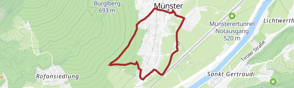
Dorfwanderung Münster Höllenstein R3
10.5 km away, in Münster
Shortest of Münster's marked village rounds, an easy hour on farm lanes and forest edge above the Inn.
- 3.5 km
- Distance
- 95 m
- Ascent
- 1 h 3 min
- Duration
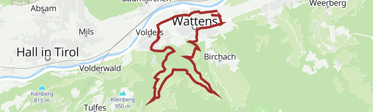
Kurzer Sprint am Volderberg
12.4 km away, in Wattens
A quick climb from Wattens up to the hamlets of Vögelsberg at around 900 m, then straight back down to the valley.
- 19.6 km
- Distance
- 527 m
- Ascent
- 2 h 14 min
- Duration
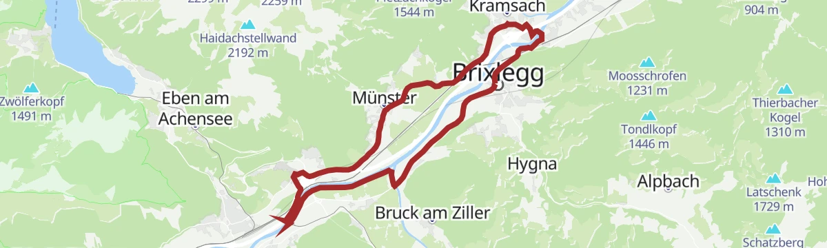
Inntal Radrunde (503)
13.8 km away, in Brixlegg
A flat circuit through the valley floor around Brixlegg and Radfeld, passing Rattenberg and the farmland at Rotholz.
- 22.9 km
- Distance
- 42 m
- Ascent
- 2 h 4 min
- Duration
- 3
- Check-ins
- Tourismusinformation Rattenberg-Radfeld-Brixlegg 516 m
- Maoribrunnen beim Dorfinstallateur 520 m
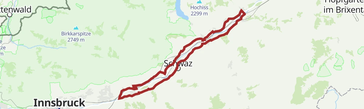


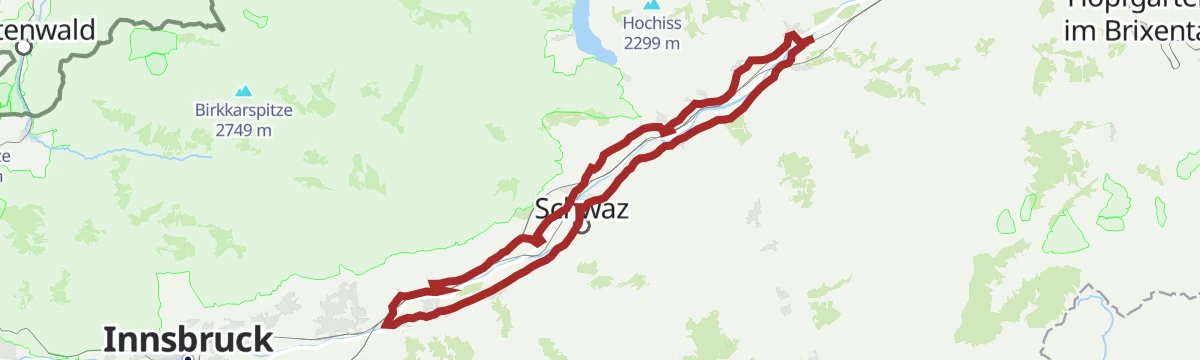




No routes of this kind in Stans yet.
Planning a trip to Stans?
Everything else Tyrol has, in one place


Take Stans with you into the mountains
Every route on this page with 3D terrain, GPX navigation and offline maps — including the valleys with no signal.
Data sources
- Official website: alpbachtal.at ↗
- Routes and highlights: Alpbachtal Tourismus, Region Hall-Wattens, Wilder Kaiser Tourismus, Region Seefeld, Kitzbüheler Alpen Tourismus
- Published as open data by the tourist boards named above.
- Region summary generated from the board's own material.
