
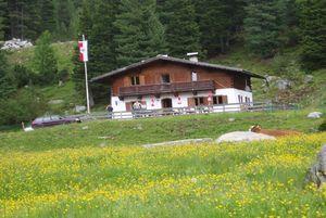
 Mountain hut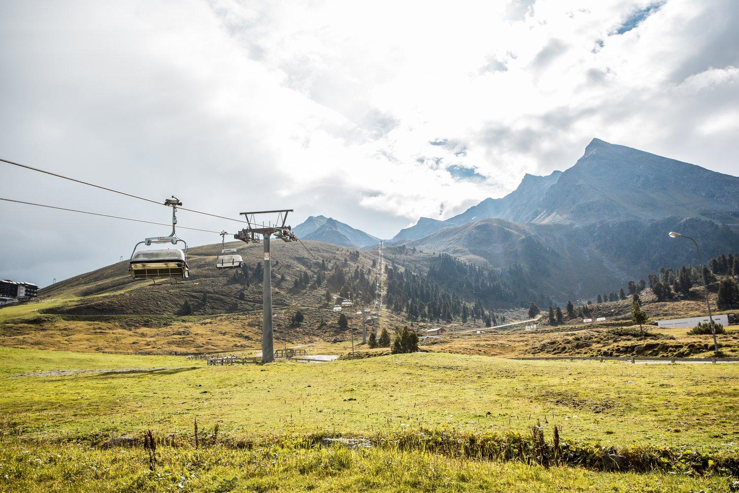
 Cable car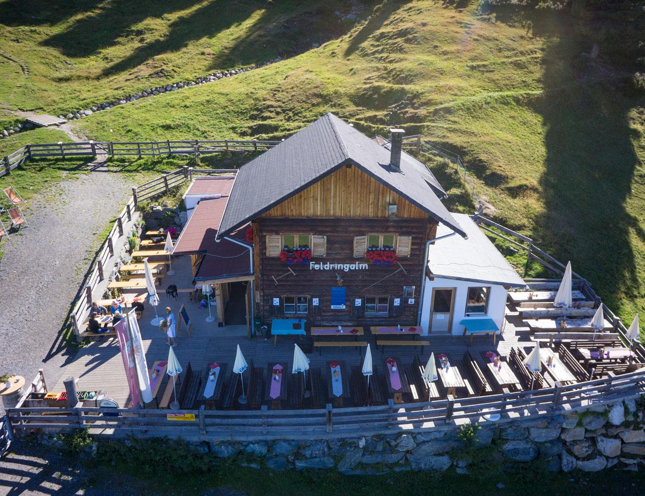
 Historic site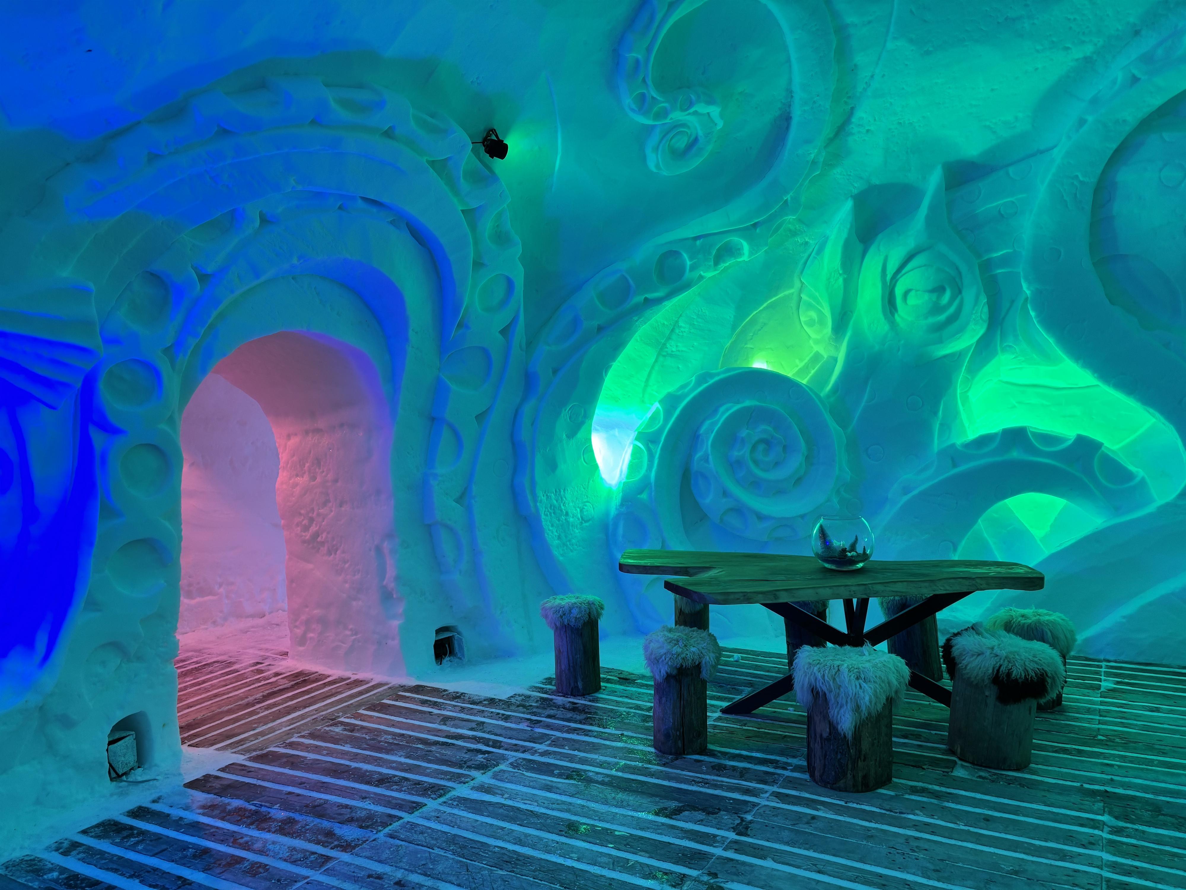






Curated by Innsbruck Tourismus
Stams
An Inn valley village at 672 m below the Mieming range, dominated by the baroque Cistercian abbey Stift Stams, with an old oak wood and a suspension bridge nearby.
- 15Highlights
- 20Routes
- Featured summit · Rietzer Grießkogel
Highlights
All 15 from neighbouring places
Drei-Seen-Bahn
4.2 km away, in Silz
A four-seat chairlift at Kühtai with weather hoods and bike carriers, serving the three-lakes walk and a large high-alpine playground.
Feldringalm
6.1 km away, in Silz
A traffic-free alpine pasture reached by forest road from the Sattele car park, an easy walk suited to families.
Gasthof Ruetz
7.9 km away, in St. Sigmund im Sellrain
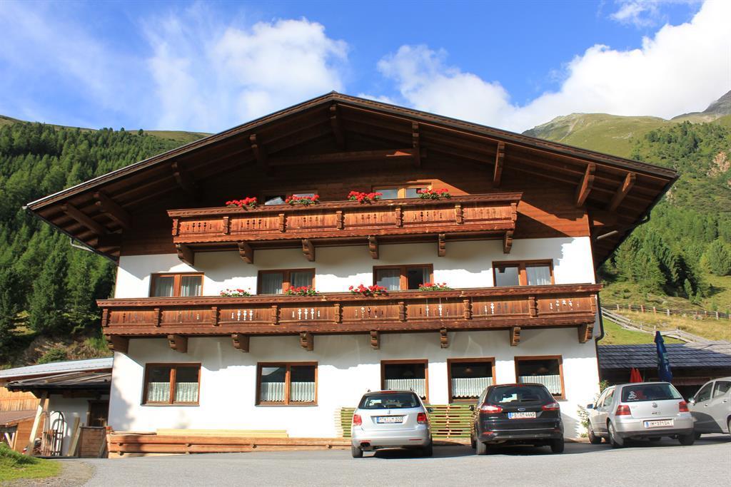
A traditional inn at St. Sigmund im Sellrain, a refreshment and overnight stop for walkers and ski tourers in the Sellrain valley.
Pforzheimer Hütte
11.2 km away, in St. Sigmund im Sellrain
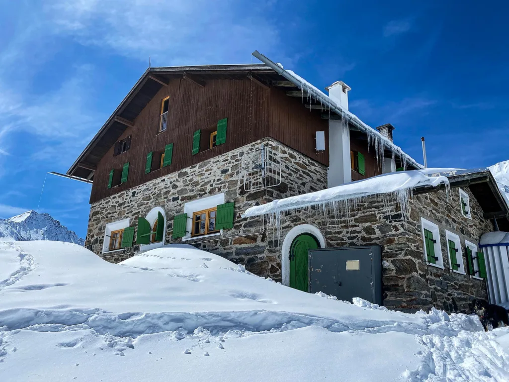
An Alpine Club hut in the Gleirsch valley above St. Sigmund im Sellrain, a base for summit tours and ski touring in the Stubai Alps.
Coburger Hütte
13.9 km away, in Mieming
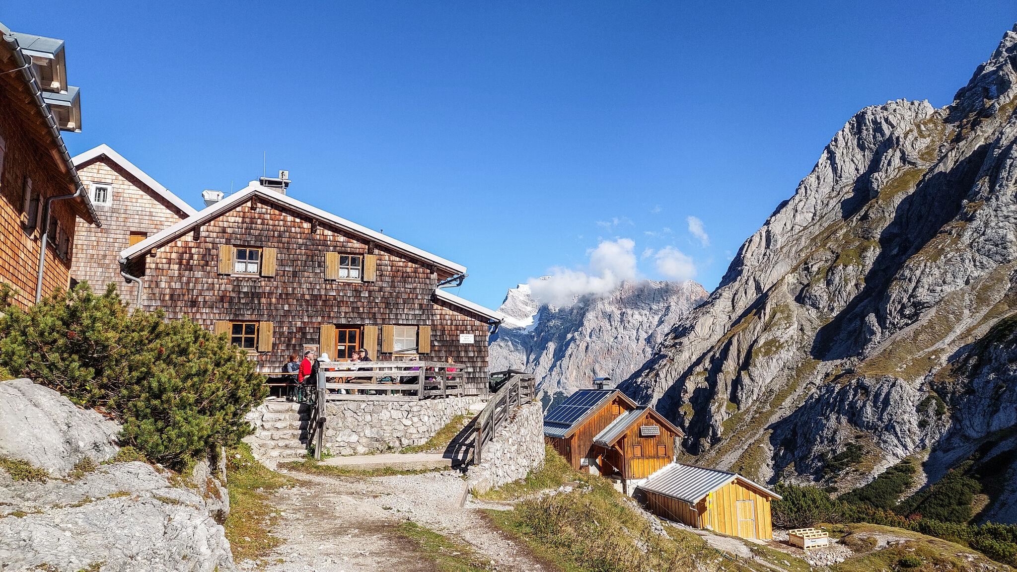
An Alpine Club hut above the Seebensee near Ehrwald, set among the lakes of the Mieming range and a base for the Sonnenspitze.
Hochfeldern Alm
14.9 km away, in Mieming
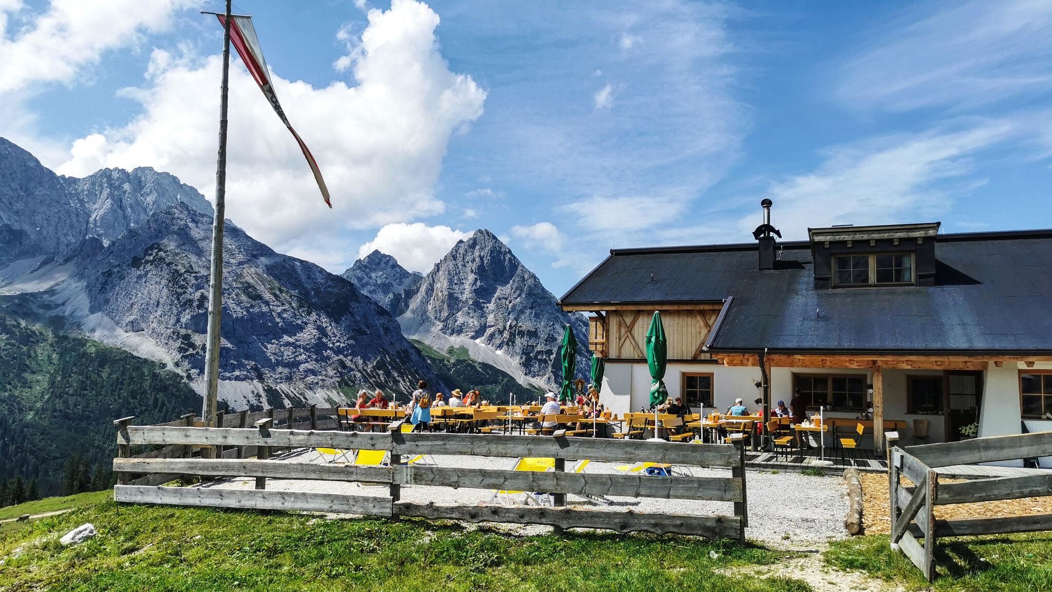
An alm at about 1,700 m between the Ehrwalder Alm and the Gaistal, on the high route below the Mieming range.
Almhof Mareil
4.3 km away, in Haiming
An inn between Ochsengarten and Kühtai on the Kaiser-Franz-Josef, Höllwiesen and Knappen paths, with its own bus stop below.
Ruine Hörtenberg
6.7 km away, in Pfaffenhofen
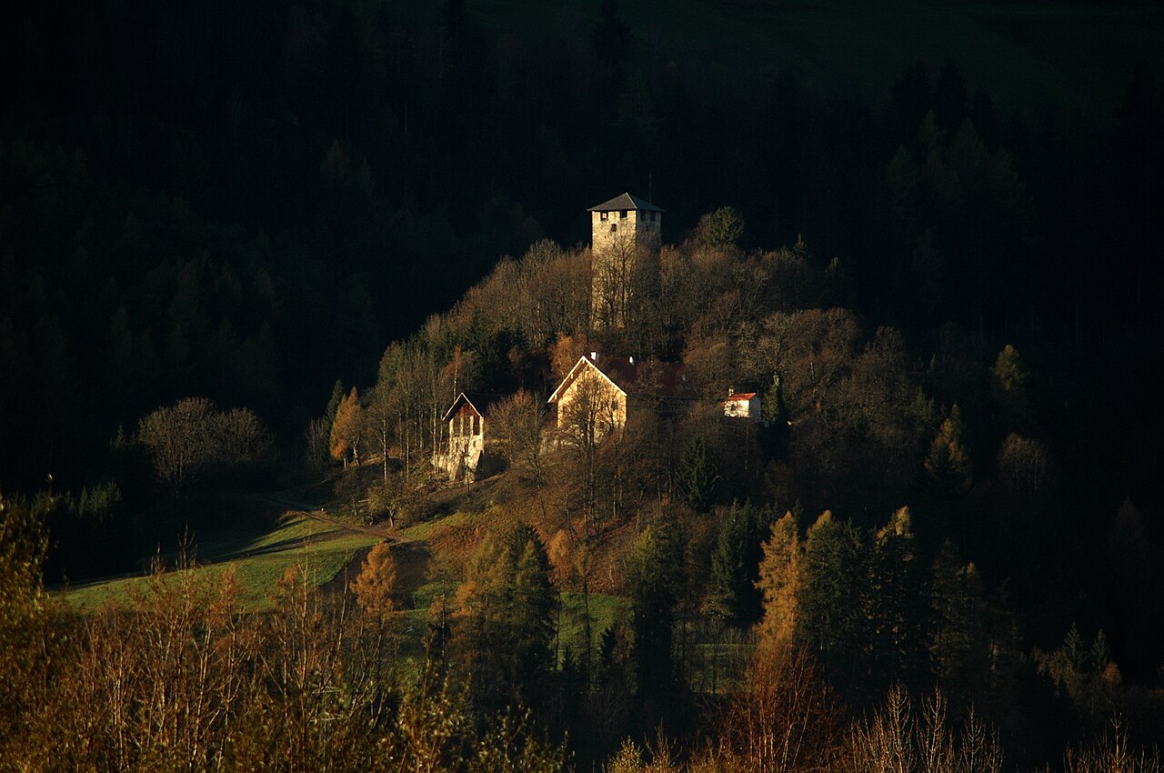
A medieval castle ruin above Pfaffenhofen (642 m) in the Inn valley west of Innsbruck, the remains of a former noble seat.
Schneedorf Hochoetz
6.8 km away, in Haiming
Austria's first igloo village, rebuilt each winter at about 2,000 m at Hochoetz, with rooms cut from snow and open for overnight stays.
Balbach Alm
6.9 km away, in Haiming
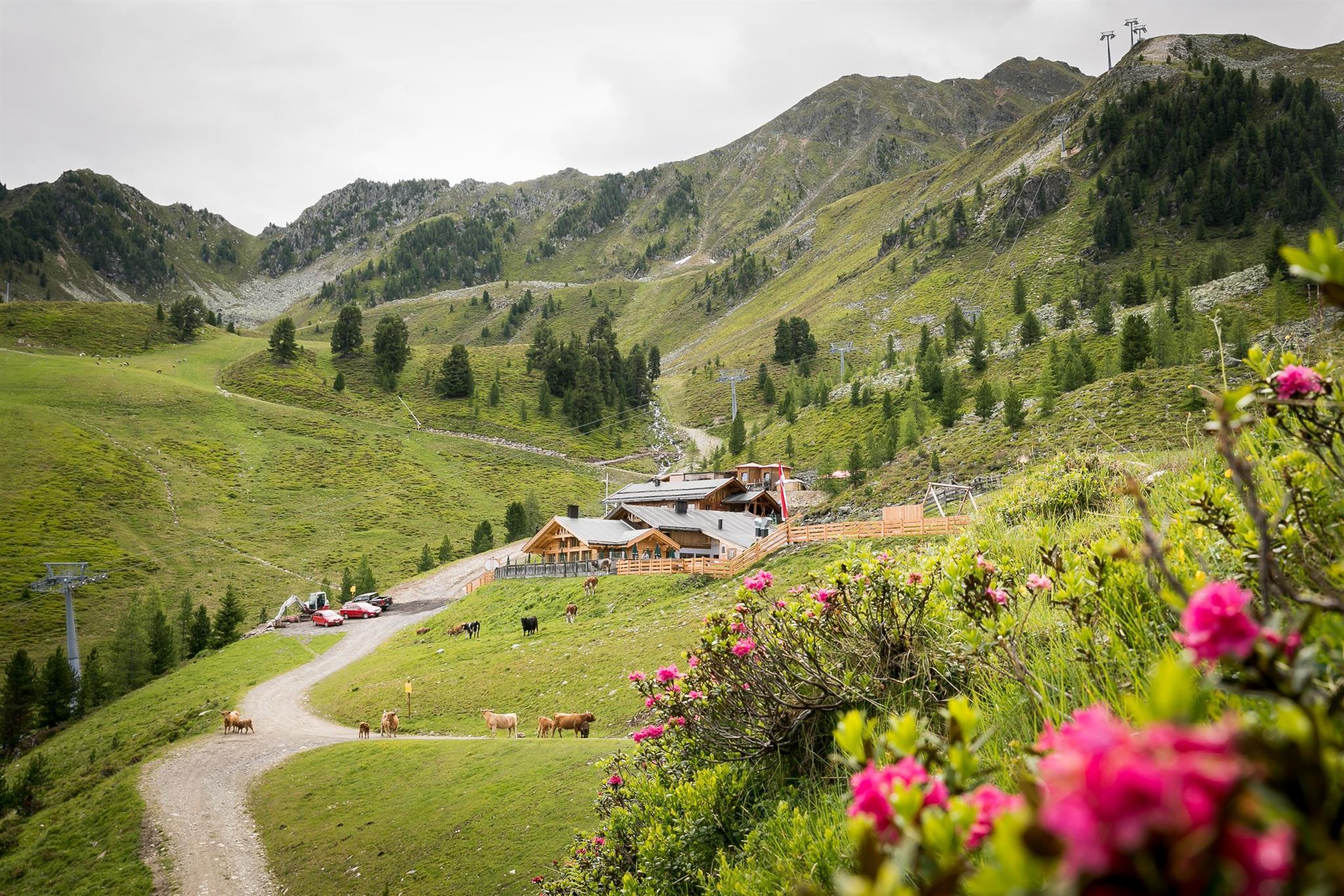
A hut on the Hochoetz slopes serving traditional Tirolean cooking, with overnight places available.
Villa Schindler
7.5 km away, in Telfs
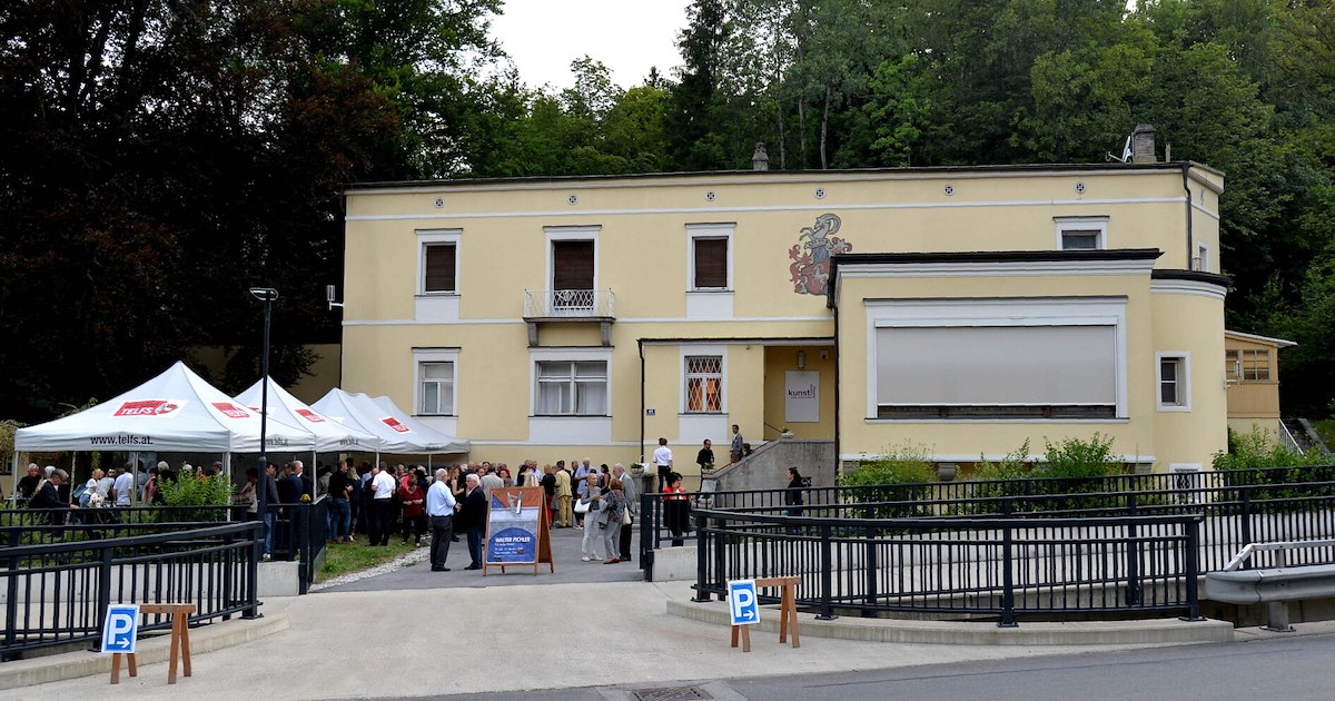
A villa in Telfs (634 m) used today for exhibitions and cultural events, one of the market town's notable historic houses.
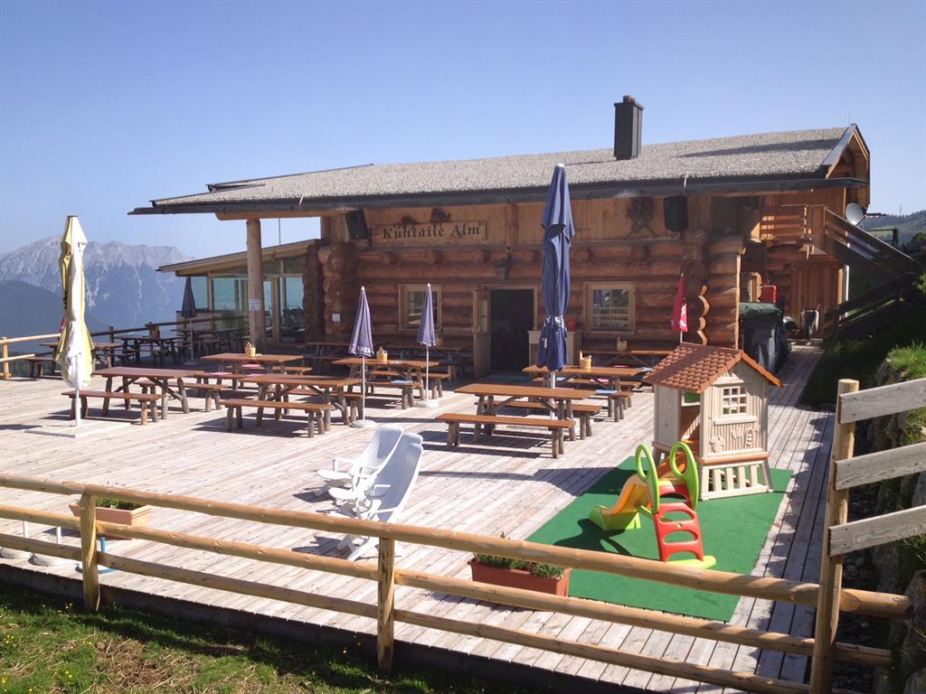
Kühtaile Alm
7.5 km away, in Oetz
A hut reached from the top station of the Acherkogelbahn or the Ochsengartenbahn, with a sun terrace and Tirolean dishes.
Rathaussaal Telfs
7.5 km away, in Telfs
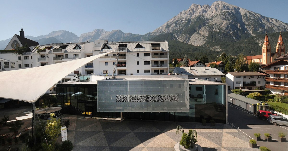
The hall of the town hall in Telfs (634 m), used for concerts, theatre and civic events in the market town west of Innsbruck.
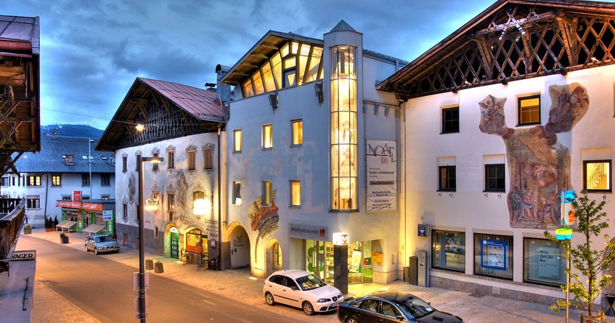
Fasnacht- und Heimatmuseum "Noaflhaus"
7.6 km away, in Telfs
A museum in the Noaflhaus in Telfs on local history and the Schleicherlaufen, the town's large traditional carnival procession.
Nothing of this kind in Stams.
Routes
Alpinpark - Weg der Extreme
Easy round from Stams that climbs to the Locherboden with its pilgrimage church, an interpretive route with stations along the way.
- 4.7 km
- Distance
- 219 m
- Ascent
- 1 h 39 min
- Duration
Hängebrücke - Wallfahrtskirche Maria Locherboden
Round that crosses a suspension footbridge and climbs to the pilgrimage church of Maria Locherboden on its lookout knoll above the Inn valley.
- 8.5 km
- Distance
- 279 m
- Ascent
- 2 h 41 min
- Duration
Sellrainer Hüttenrunde: 7. Etappe
Closing stage of the Sellrain hut round, coming down from the high country into Kühtai past the Dortmunder Hütte and on down the valley - nearly 25 km of trail.
- 24.7 km
- Distance
- 973 m
- Ascent
- 8 h 12 min
- Duration
- 64
- Check-ins
Mitterzeigerkopf
Ski tour over the Kreuzjoch onto the Mitterzeigerkogel, around 700 m of skinning on the slopes above the Stams side of the Inn valley.
- 3.5 km
- Distance
- 719 m
- Ascent
- 719 m
- Descent
- 2 h 18 min
- Duration
- 2
- Check-ins
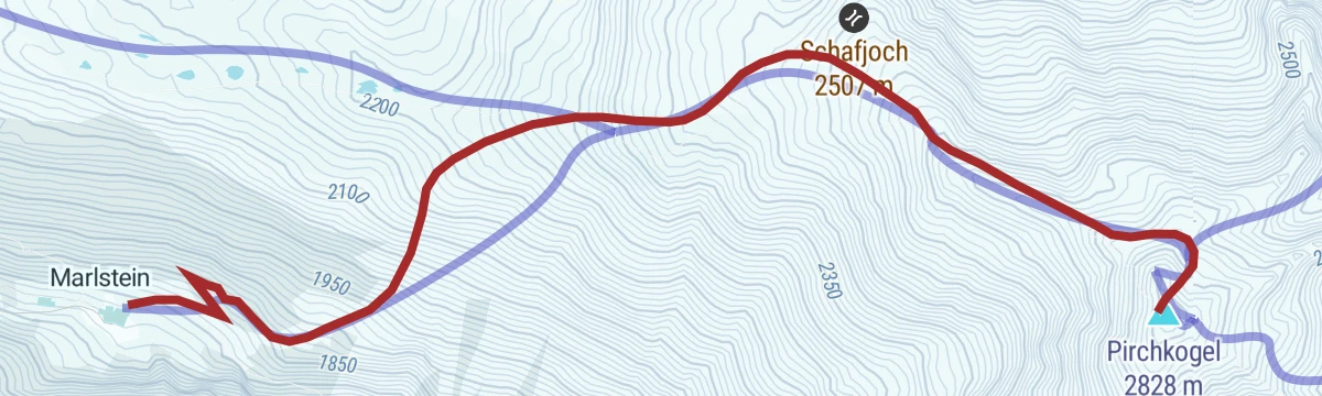
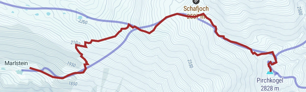
Pirchkogel (02)
Committing ski tour from Marlstein through glades and up a rolling rib to the Schafjoch, where the broad back narrows to a ridge before a short steep traverse and the final metres to the summit.
- 4.0 km
- Distance
- 1 043 m
- Ascent
- 17 m
- Descent
- 2 h 43 min
- Duration
- 7
- Check-ins
Imster Radmarathon | Panoramarunde (Jubiläum)
A long tour out of Imst over the Holzleitensattel at 1,119 m, looping back down the Inn valley past the mouth of the Pitztal.
- 79.5 km
- Distance
- 727 m
- Ascent
- 7 h 45 min
- Duration
- 14
- Check-ins
Von Innsbruck nach Kühtai
A long road ride out of the Inn valley, climbing to the saddle at 2,017 m with the Dortmunder Hütte just below it.
- 106.6 km
- Distance
- 1 930 m
- Ascent
- 11 h 16 min
- Duration
- 86
- Check-ins
Stams - Naturdenkmal Eichenwald - Stadliger Wasserfall - Stams
Loop from Stams to the protected oak wood and the Stadliger waterfall — an easy round combining two of the village's natural monuments.
- 6.7 km
- Distance
- 229 m
- Ascent
- 2 h 8 min
- Duration
Oberhofer Höhenweg
Long high traverse linking the Oberhofer Melkalm, Zirmbach Alm and the Flaurlinger Scharte — nearly 20 km of flank walking between the Inntal and the Sellrain mountains.
- 20.3 km
- Distance
- 749 m
- Ascent
- 6 h 37 min
- Duration
- 5
- Check-ins
Pirchkogel von Marlstein
Steep, direct ski tour from Marlstein above Ochsengarten to the Pirchkogel, packing about 1,000 m of climbing into 4.4 km — a serious grade for strong tourers.
- 4.4 km
- Distance
- 1 003 m
- Ascent
- 1 003 m
- Descent
- 3 h 10 min
- Duration
- 7
- Check-ins
Inntalrunde
A valley circuit along the Inn from Silz, passing the mouths of both the Ötztal and the Pitztal.
- 55.2 km
- Distance
- 901 m
- Ascent
- 5 h 45 min
- Duration
- 8
- Check-ins
Mieminger Plateau Runde
A near-100 km road round out of the Inn valley, climbing to the terrace villages above Mieming and past Gasthaus Arzkasten.
- 97.1 km
- Distance
- 1 138 m
- Ascent
- 9 h 41 min
- Duration
- 12
- Check-ins
Jakobsweg Anschlussweg: Stams - Nassereith
First stage of the link route towards the Ausserfern, 17.7 km from Stams over Arzkasten and down to Nassereith and its lake.
- 17.7 km
- Distance
- 524 m
- Ascent
- 5 h 16 min
- Duration
- 2
- Check-ins
Rietzer Grieskogel
Ski tour to the Rietzer Grießkogel — nearly 1,000 m of skinning to a summit that splits the view between the Inn valley and the Sellrain.
- 4.7 km
- Distance
- 982 m
- Ascent
- 982 m
- Descent
- 3 h 8 min
- Duration
- 5
- Check-ins
Von Innsbruck aufs Mieminger Plateau und retour
An 80 km out-and-back from Innsbruck down the Inn past Kranebitten and Hatting, then up onto the Mieminger Plateau.
- 79.5 km
- Distance
- 774 m
- Ascent
- 7 h 47 min
- Duration
- 6
- Check-ins
Jakobsweg Etappe 1 Stams - Nassereith
Opening stage of the Jakobsweg branch toward the Ausserfern: from Stams abbey across the Mieming plateau past Arzkasten, ending at Nassereith and its lake.
- 17.9 km
- Distance
- 640 m
- Ascent
- 5 h 47 min
- Duration
- 2
- Check-ins
Innradweg
Ninety-seven kilometres of near-level cycle path along the Inn, from Mötz past Telfs and Innsbruck down to Rotholz.
- 86.9 km
- Distance
- 245 m
- Ascent
- 7 h 56 min
- Duration
- 2
- Check-ins
Weg der Sinne (Mötz - Rietz - Stams)
Full-day route linking Mötz, Rietz and Stams over the Birgele and the Locherboden pilgrimage hill, with themed stations on the senses along the way.
- 21.6 km
- Distance
- 691 m
- Ascent
- 6 h 46 min
- Duration
- 1
- Check-ins
Genuss-Radweg Inntal
A valley cycle path along the Inn between Innsbruck and Mötz, running through Hatting, Telfs and Stams on the flat valley floor.
- 110.0 km
- Distance
- 607 m
- Ascent
- 10 h 19 min
- Duration
Inntalrunde
A 65.3 km valley loop on the Inn cycle path — Imst, the Inn gorge, Roppen, Haiming, Silz and Stams — with only 581 m of climbing.
- 55.2 km
- Distance
- 901 m
- Ascent
- 5 h 45 min
- Duration
Open route Imst Tourismus
No routes of this kind in Stams yet.
The region's own picks

Featured route
Alpinpark - Weg der Extreme
Easy round from Stams that climbs to the Locherboden with its pilgrimage church, an interpretive route with stations along the way.
Planning a trip to Stams?
Everything else Tyrol has, in one place


Take Stams with you into the mountains
Every route on this page with 3D terrain, GPX navigation and offline maps — including the valleys with no signal.
Data sources
- Official website: innsbruck.info ↗
- Routes and highlights: Innsbruck Tourismus, Ötztal Tourismus, Imst Tourismus, Region Seefeld, Serfaus-Fiss-Ladis, Tannheimer Tal
- Published as open data by the tourist boards named above.
- Region summary generated from the board's own material.
