
 Mountain hut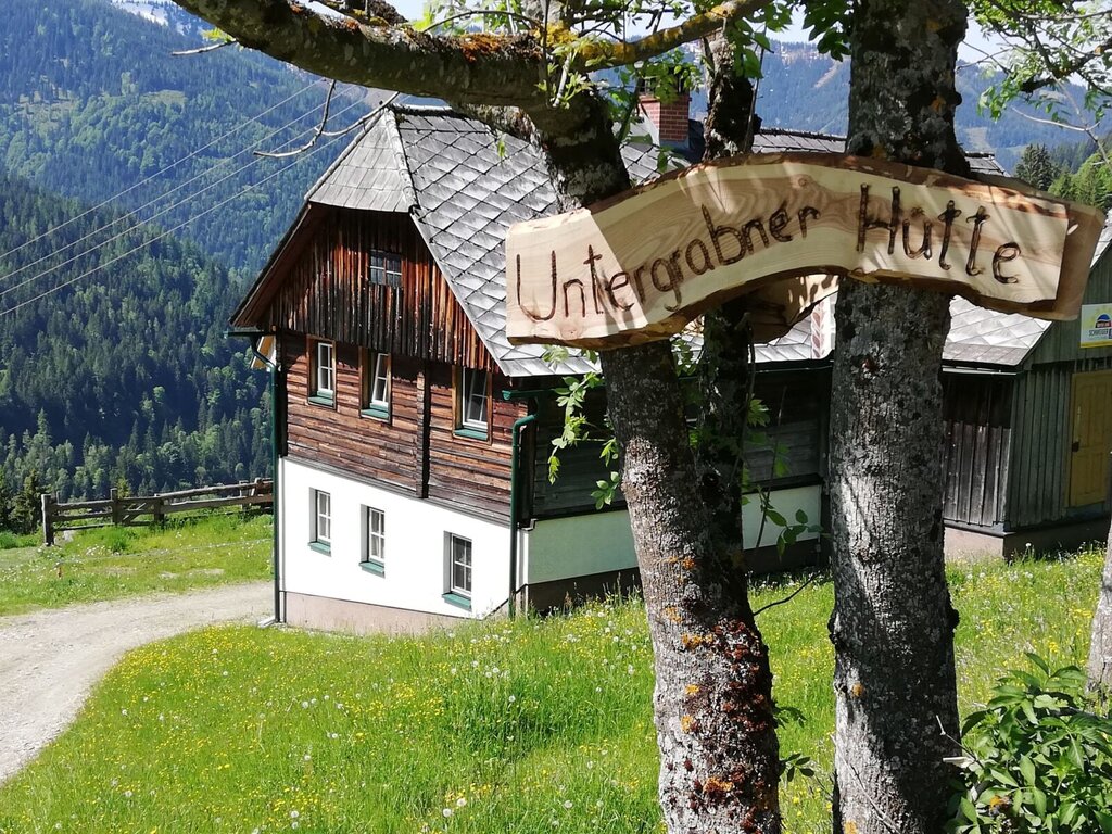









Curated by Schladming-Dachstein Tourismus
Stainach-Pürgg
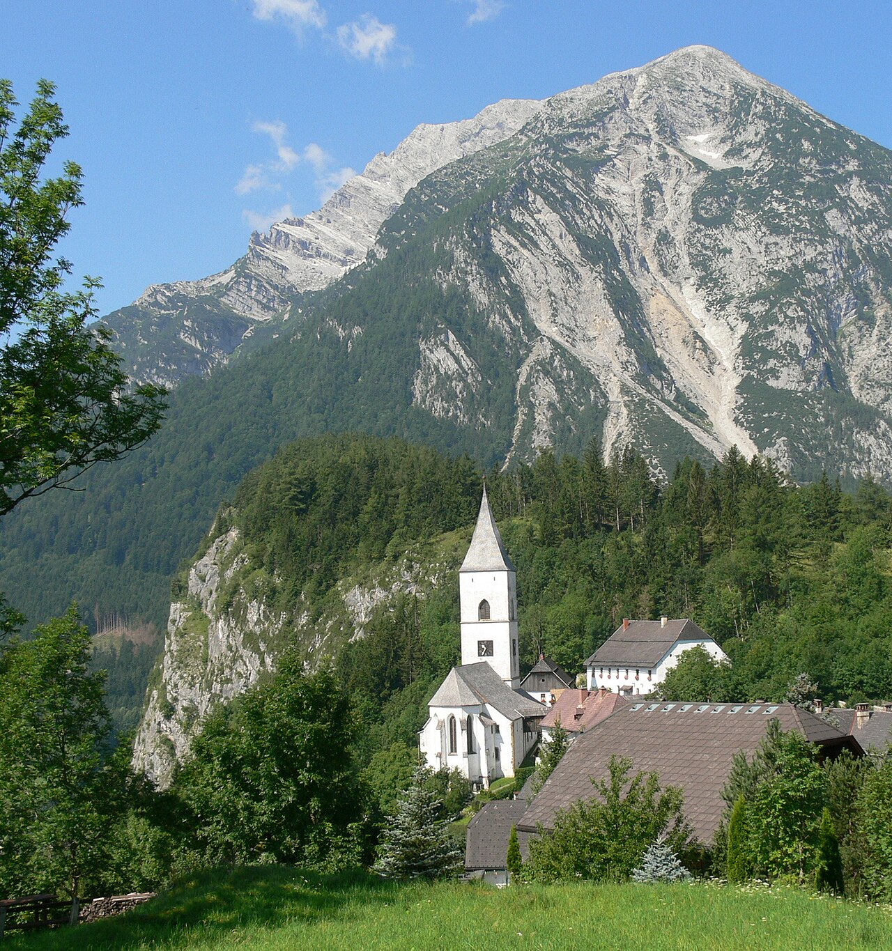
Ennstal crossroads community around Schloss Trautenfels under the Grimming, with the medieval hill village of Pürgg and its Romanesque frescoes perched above the valley.
- 1Highlights
- 9Routes
- Featured summit · Tressenstein
Highlights
5 from neighbouring places
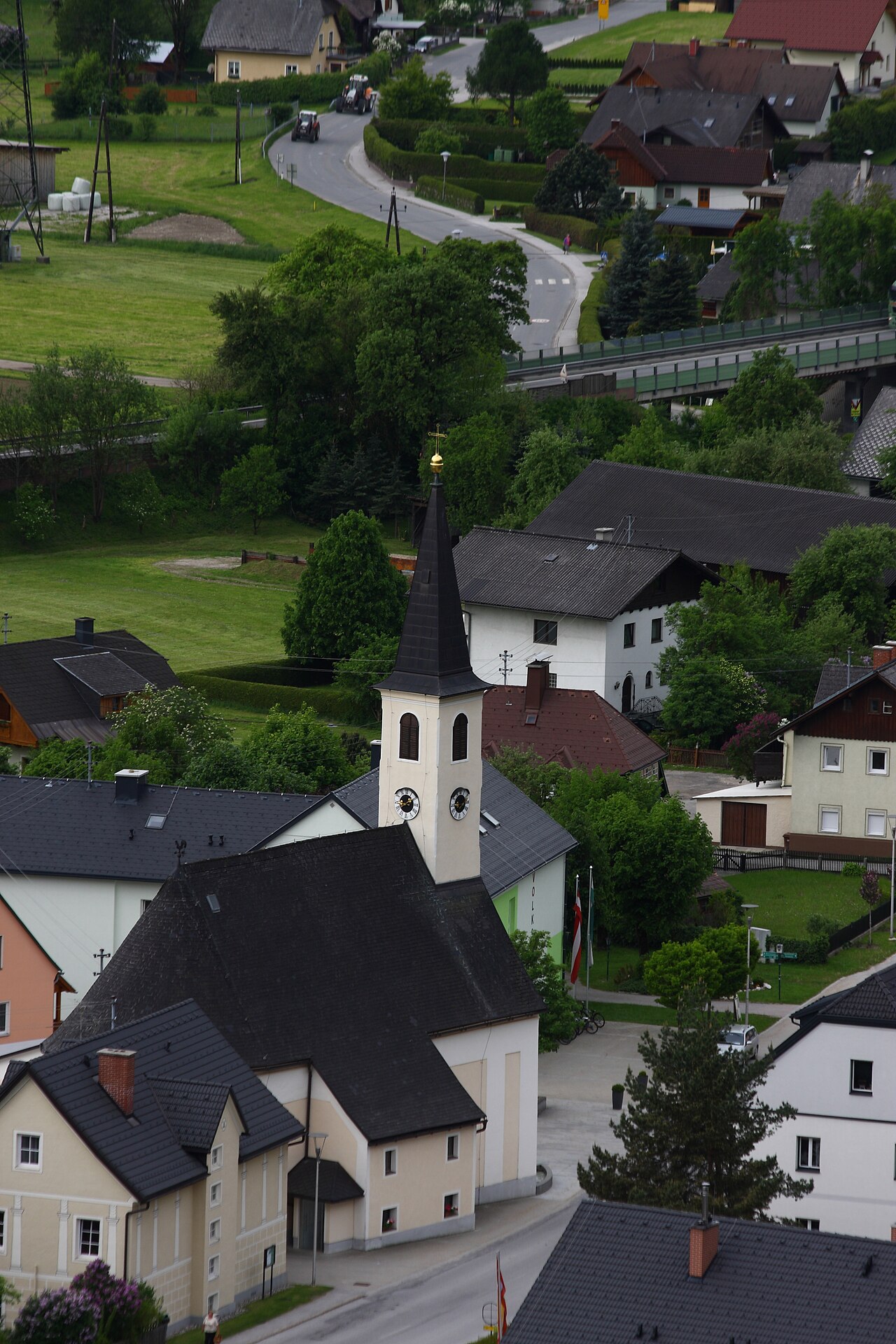
Pfarrkirche Pürgg
The parish church of Pürgg above the Ennstal, a building of Romanesque origin in a village known for its medieval sacred art.
Pfarrkirche Wörschach
5.8 km away, in Wörschach
The parish church of Wörschach (651 m) in the Ennstal, the village landmark near the entrance to the Wörschachklamm gorge.
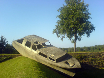
Skulpturenpark
6.7 km away, in Irdning-Donnersbachtal
A sculpture park near Irdning in the Ennstal, showing stone works from the Grimming sculpture symposium in an open-air setting.
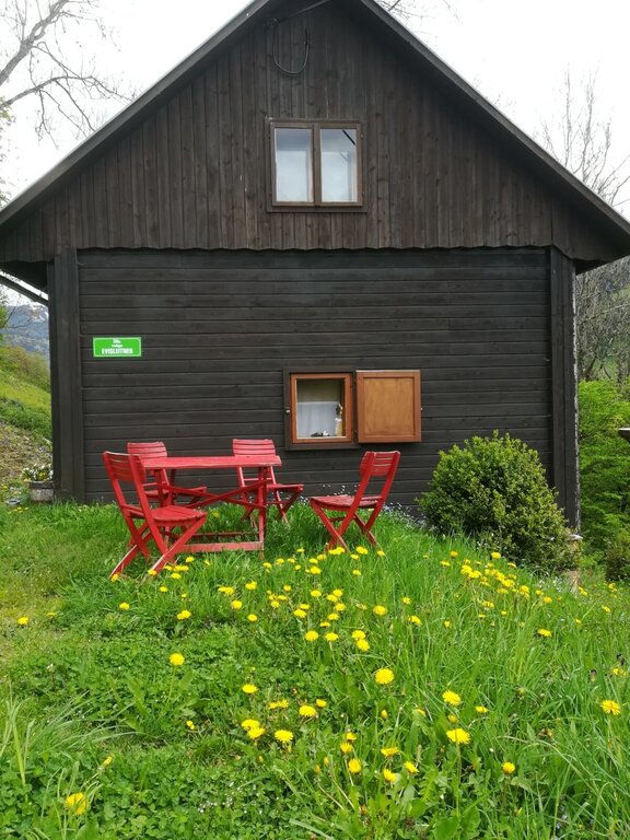
Ewisleitner Hütte
9.6 km away, in Irdning-Donnersbachtal
A farm hut above the Donnersbach valley in Irdning-Donnersbachtal, rented out for self-catered mountain stays.
Untergrabner Hütte
11.8 km away, in Aigen im Ennstal
A farm-run hut above Aigen im Ennstal, rented through the farm-holiday network for quiet stays overlooking the Enns valley.
Öblarner Freibad
13 km away, in Öblarn
The outdoor swimming pool of Öblarn (666 m) in the Ennstal, a village lido for summer bathing between Gröbming and Irdning.
Nothing of this kind in Stainach-Pürgg.
Routes
11 from neighbouring places
Burgstall Klettersteig
A short via ferrata near Untergrimming whose descent passes through the hillside village of Pürgg with its historic Johanneskapelle before looping back to the start.
- 2.3 km
- Distance
- 150 m
- Ascent
- 1 h 19 min
- Duration
Salzsteigjoch
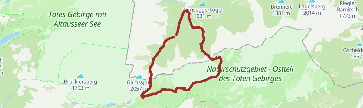
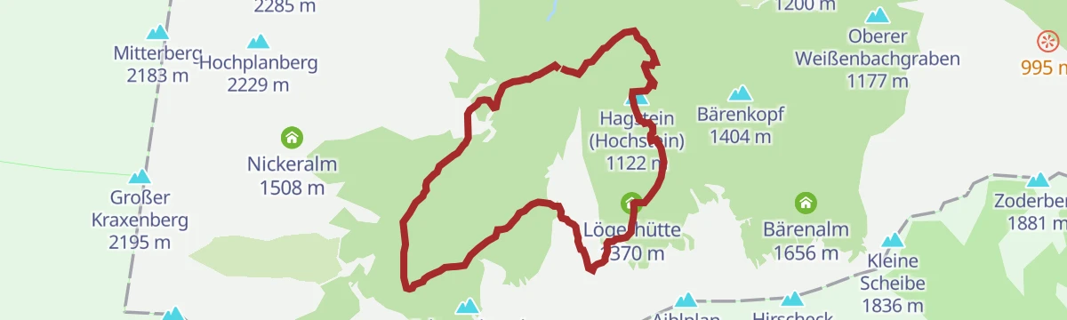
A long crossing from Baumschlagerreith in Hinterstoder over the pass and the Leisthütte, past the Schwarzensee down to Tauplitz.
- 16.5 km
- Distance
- 1 200 m
- Ascent
- 7 h 33 min
- Duration
Skitour aufs Feldl
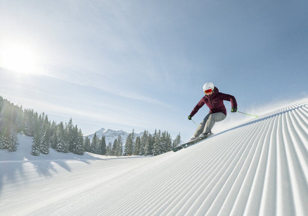
Ski tour from the Spechtensee lift in Wörschachwald past the Wörschachwalderhof and the Hochtor to the Feldl, moderate terrain on the southern rim of the Totes Gebirge.
- 7.2 km
- Distance
- 630 m
- Ascent
- 630 m
- Descent
- 2 h 35 min
- Duration
- 7
- Check-ins
Bike & Hike Schloss Trautenfels - Tressenstein
A long approach ride through the Ennstal past the Grimminghütte and the Putterersee campsite, with a summit walk at the far end.
- 30.8 km
- Distance
- 864 m
- Ascent
- 3 h 33 min
- Duration
- 13
- Check-ins
Salzsteigrunde
A long circuit from Baumschlagerreith up to the Salzsteigjoch, on to the Leisthütte and back over the Türkenkarscharte notch.
- 23.7 km
- Distance
- 1 605 m
- Ascent
- 10 h 46 min
- Duration
Skitour zur Bärenfeichtenalm
Gentle ski tour from the Spechtensee in Wörschachwald to the Bärenfeichtenalm, an unhurried round with modest climbing through wooded alm country.
- 9.3 km
- Distance
- 456 m
- Ascent
- 456 m
- Descent
- 2 h 52 min
- Duration
Bike & Hike Dachsteinblick - Gindlhorn
A long ride from the Enns valley floor up to Wörschachwald and the Spechtensee lift, with the walk to the Gindlhorn from the road's end.
- 37.3 km
- Distance
- 974 m
- Ascent
- 4 h 14 min
- Duration
- 12
- Check-ins
Viehberg Runde ab Gröbming | 314
A long forest-road circuit from Gröbming up to the huts at around 1,450 m, then down the Enns valley by Öblarn and Stainach.
- 63.7 km
- Distance
- 1 446 m
- Ascent
- 7 h 1 min
- Duration
- 6
- Check-ins
Spechtensee Runde | 315
A circuit out of the Enns valley climbing to the Wörschachwald plateau and the lake below the Spechtenseelift, then back down.
- 26.6 km
- Distance
- 734 m
- Ascent
- 3 h 3 min
- Duration
- 4
- Check-ins
Wörschacher Raidling mit Abfahrt über die Hochmölbinghütte
6.8 km away, in Liezen
Ski tour from the Oberkogler Alm above Wörschach to the Wörschacher Raidling, descending on the far side past the Hochmölbinghütte and out through the Langpoltenalm.
- 15.5 km
- Distance
- 954 m
- Ascent
- 954 m
- Descent
- 5 h 2 min
- Duration
- 11
- Check-ins
Bike & Hike Dolomitensteig
9.4 km away, in Hinterstoder
A short valley ride from Hinterstoder to the start of a walking route, the cycling half of a bike-and-hike day in the Stodertal.
- 8.8 km
- Distance
- 150 m
- Ascent
- 55 min
- Duration
Sankt Martin Grimmingrunde (SM 5)
10.3 km away, in Mitterberg-Sankt Martin
Compact village round at the foot of the Grimming, climbing about 190 m for close-up views of the mountain's rock walls above St. Martin.
- 3.2 km
- Distance
- 189 m
- Ascent
- 1 h 19 min
- Duration
Oppenberg Runde
11.9 km away, in Aigen im Ennstal
A road loop out of the Ennstal by way of Lassing and its lake, climbing to about 1,080 m before the descent back to the valley.
- 47.9 km
- Distance
- 1 137 m
- Ascent
- 5 h 19 min
- Duration
- 3
- Check-ins
Priel-Klettersteig auf den Großen Priel (C/D)
13.8 km away, in Hinterstoder
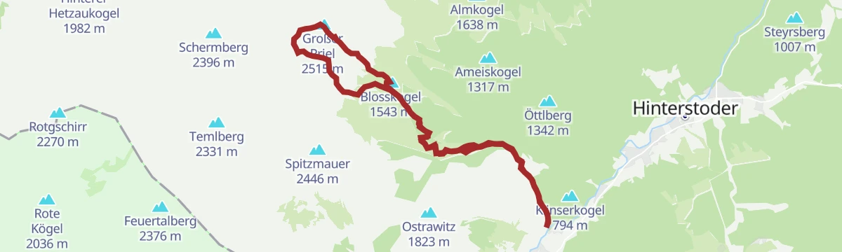
A committing secured climb to the highest summit of the Totes Gebirge, taken from the Stodertal in one long day.
- 17.9 km
- Distance
- 900 m
- Ascent
- 9 h 7 min
- Duration
Bike & Hike Stodertaler Klettersteig
13.8 km away, in Hinterstoder
A via ferrata on the Spitzmauer, the sharp peak above Hinterstoder, reached by bike and then on foot past the Prielschutzhaus.
- 9.1 km
- Distance
- 40 m
- Ascent
- 3 h 23 min
- Duration
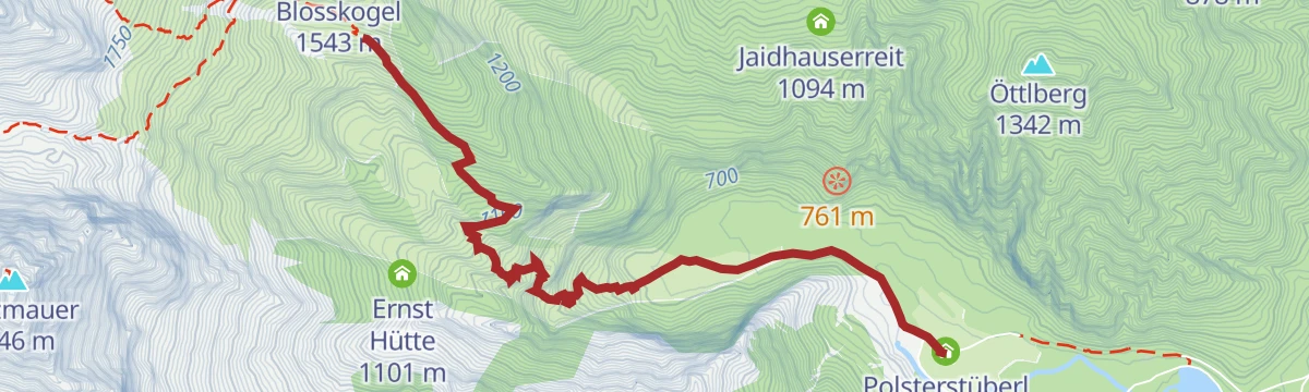
Bike & Hike Prielschutzhaus
14.8 km away, in Hinterstoder
A flat pedal in from the cable-car car park in Hinterstoder along the R307 valley route, ending at the changeover by the Polsterstüberl.
- 4.6 km
- Distance
- 40 m
- Ascent
- 27 min
- Duration
Steyrsbergerreith-Runde (RundWanderWelt Hinterstoder)
14.8 km away, in Hinterstoder
A wide loop from the Hutterer Böden past a dairy pasture served in fine summer weather, then over the Baumschlagerberg to Hinterstoder.
- 14.1 km
- Distance
- 200 m
- Ascent
- 4 h 33 min
- Duration
Tonisteig
6.9 km away, in Wörschach
A short secured climb above Wörschach reached via the Schneehitzalm — a longer approach while the Tausingkar stays closed for hunting — with a descent over the Hochtausing.
- 9.9 km
- Distance
- 120 m
- Ascent
- 3 h 54 min
- Duration
- 2
- Check-ins
Gratwanderung über fünf 2000er
14 km away, in Hinterstoder
A ridge traverse from the Hutterer Höss top station over the Schrocken, the Kreuzspitze and the Mölbing peaks down to Hinterstoder.
- 26.7 km
- Distance
- 1 063 m
- Ascent
- 10 h 46 min
- Duration
Bike & Hike Wörschachklamm - Oberkogler Alm
5.3 km away, in Aigen im Ennstal
A valley ride from Aigen to the Klammstüberl at the gorge entrance, with the climb on to the lookout tower at 1,102 m.
- 26.2 km
- Distance
- 651 m
- Ascent
- 2 h 56 min
- Duration
- 12
- Check-ins
No routes of this kind in Stainach-Pürgg yet.
The region's own picks

 Featured route
Burgstall Klettersteig
A short via ferrata near Untergrimming whose descent passes through the hillside village of Pürgg with its historic Johanneskapelle before looping back to the start.
Planning a trip to Stainach-Pürgg?
Everything else Styria has, in one place


Take Stainach-Pürgg with you into the mountains
Every route on this page with 3D terrain, GPX navigation and offline maps — including the valleys with no signal.
Data sources
- Official website: schladming-dachstein.at ↗
- Routes and highlights: Schladming-Dachstein Tourismus, 360alpenland
- Published as open data by the tourist boards named above.
- Region summary generated from the board's own material.
