
 Historic site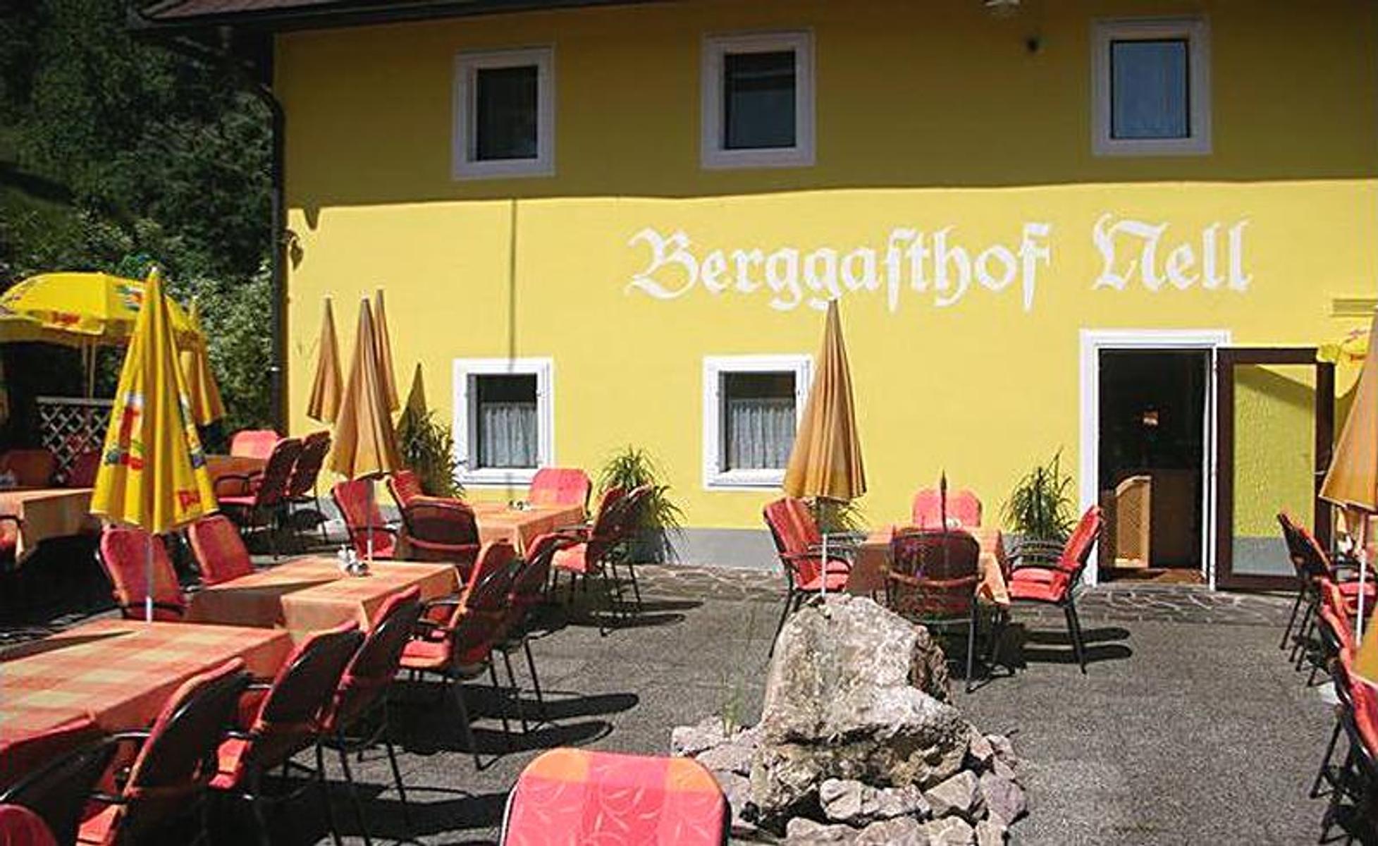
 Mountain hut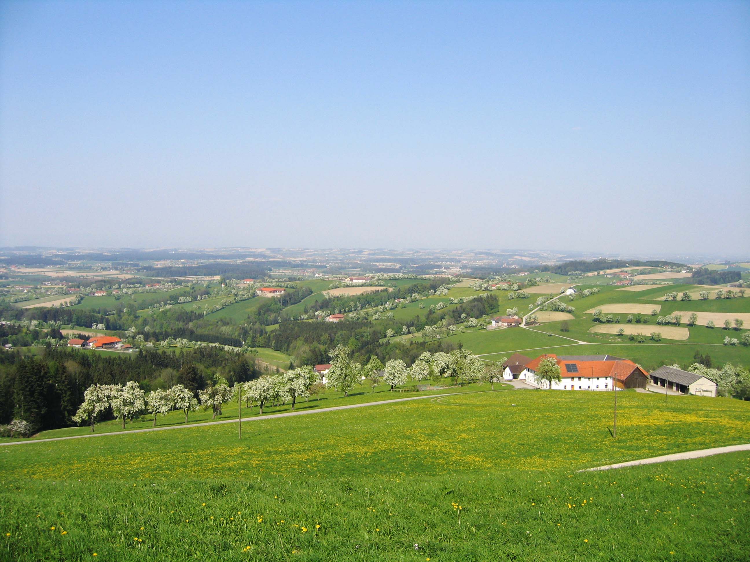
 Viewpoint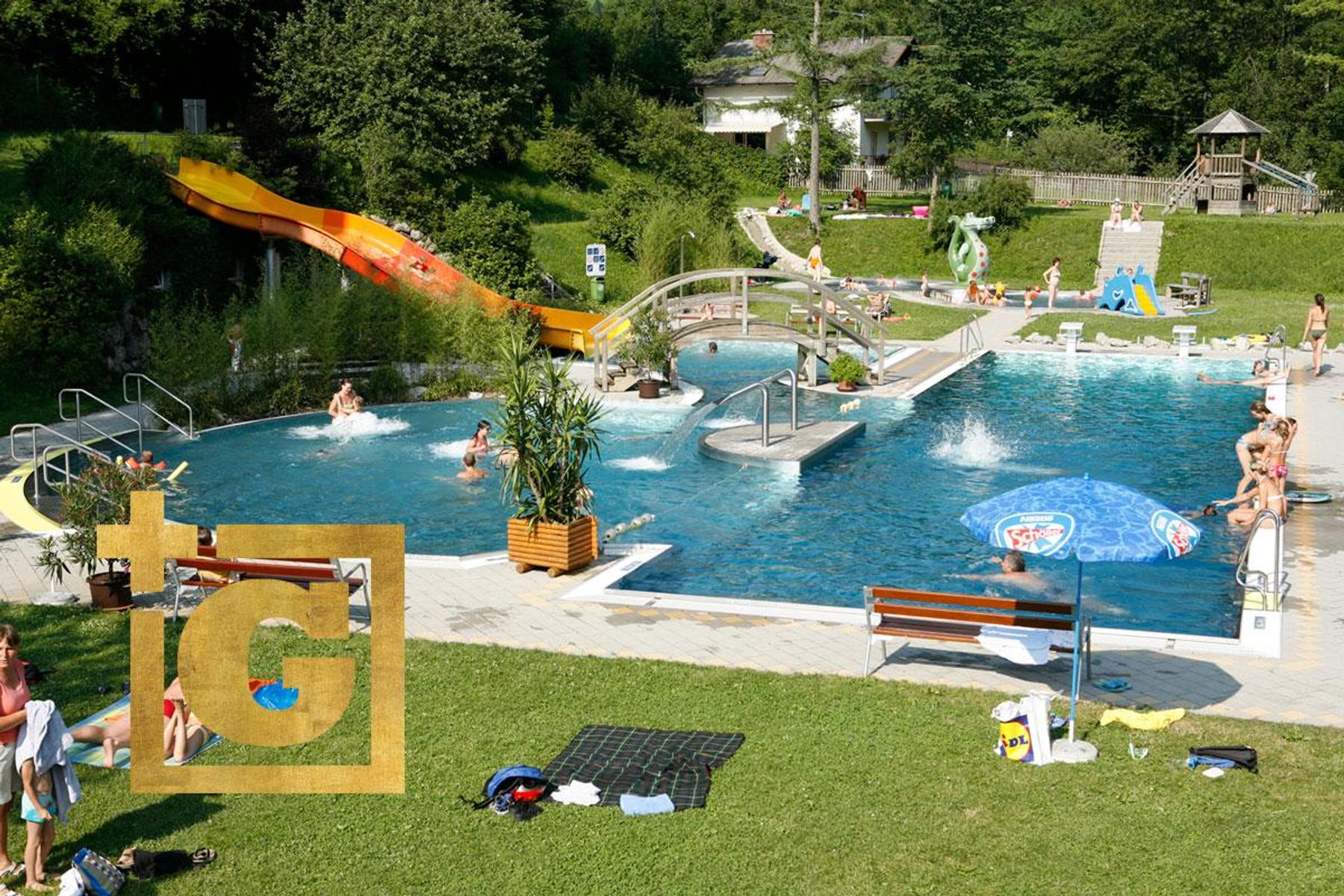







 Summit
Pöstlingberg
via OÖ Mariazellerweg: A: Klassischer OÖ Mariazellerweg über Steyr und Waidhofen an der Ybbs
Curated by 360alpenland
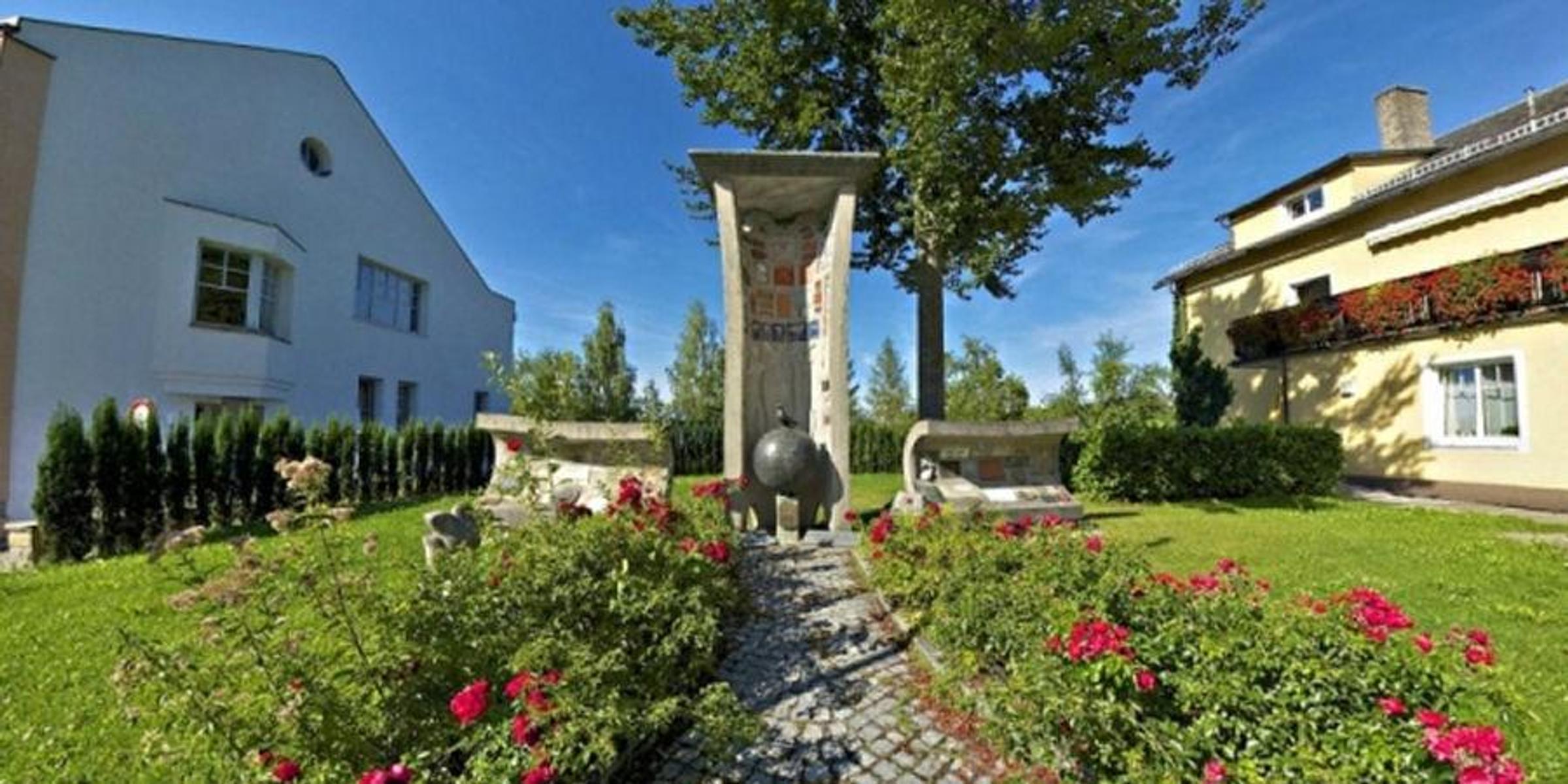
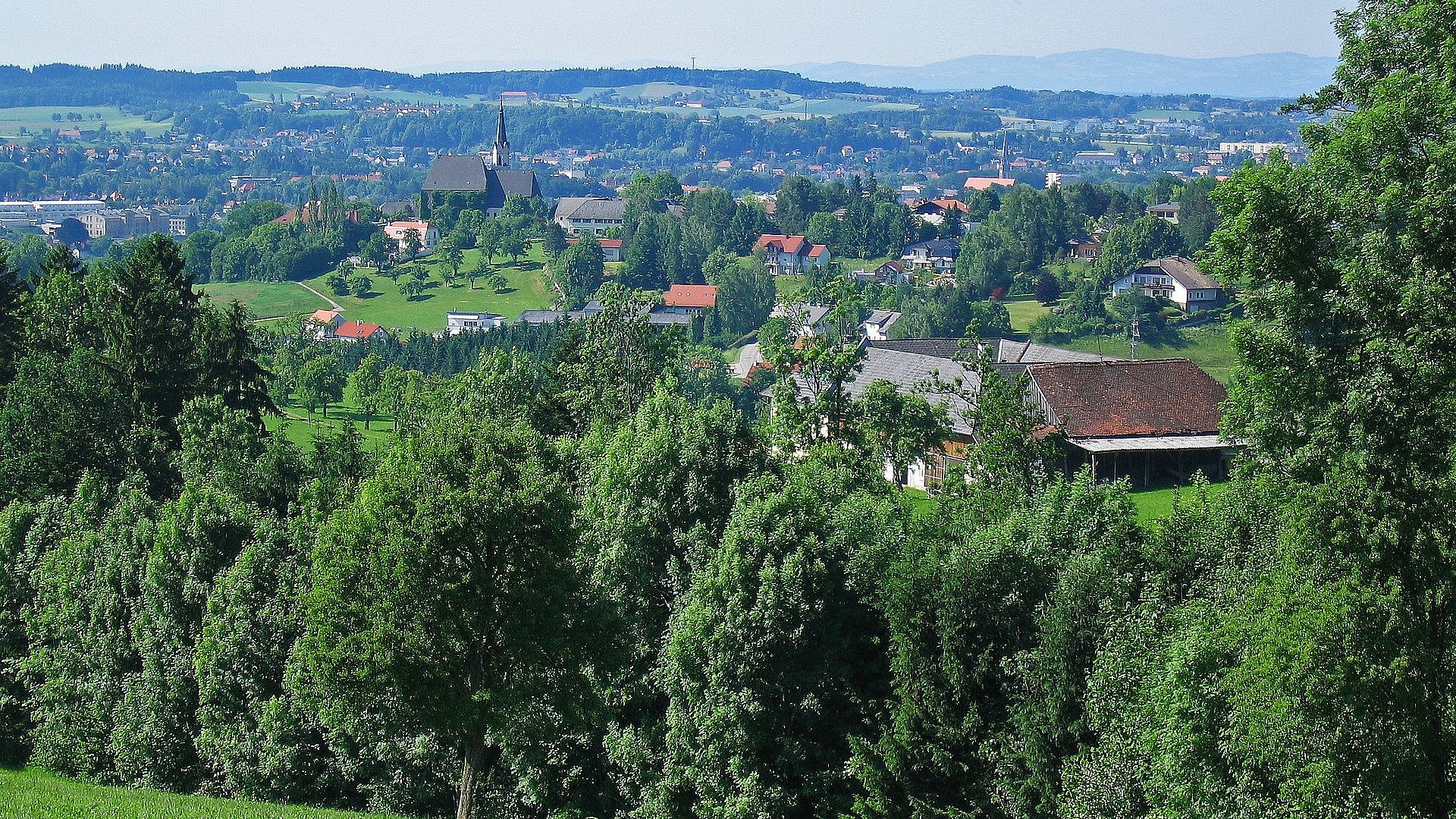
A hillside parish on the southern edge of Steyr, with circuits over the Damberg and Schwarzberg and a peace memorial above the town.
13 from neighbouring places
3.8 km away, in Behamberg
A viewing point at Behamberg above the Enns valley, looking out over the orchards of the Mostviertel.
6.7 km away, in Steyr
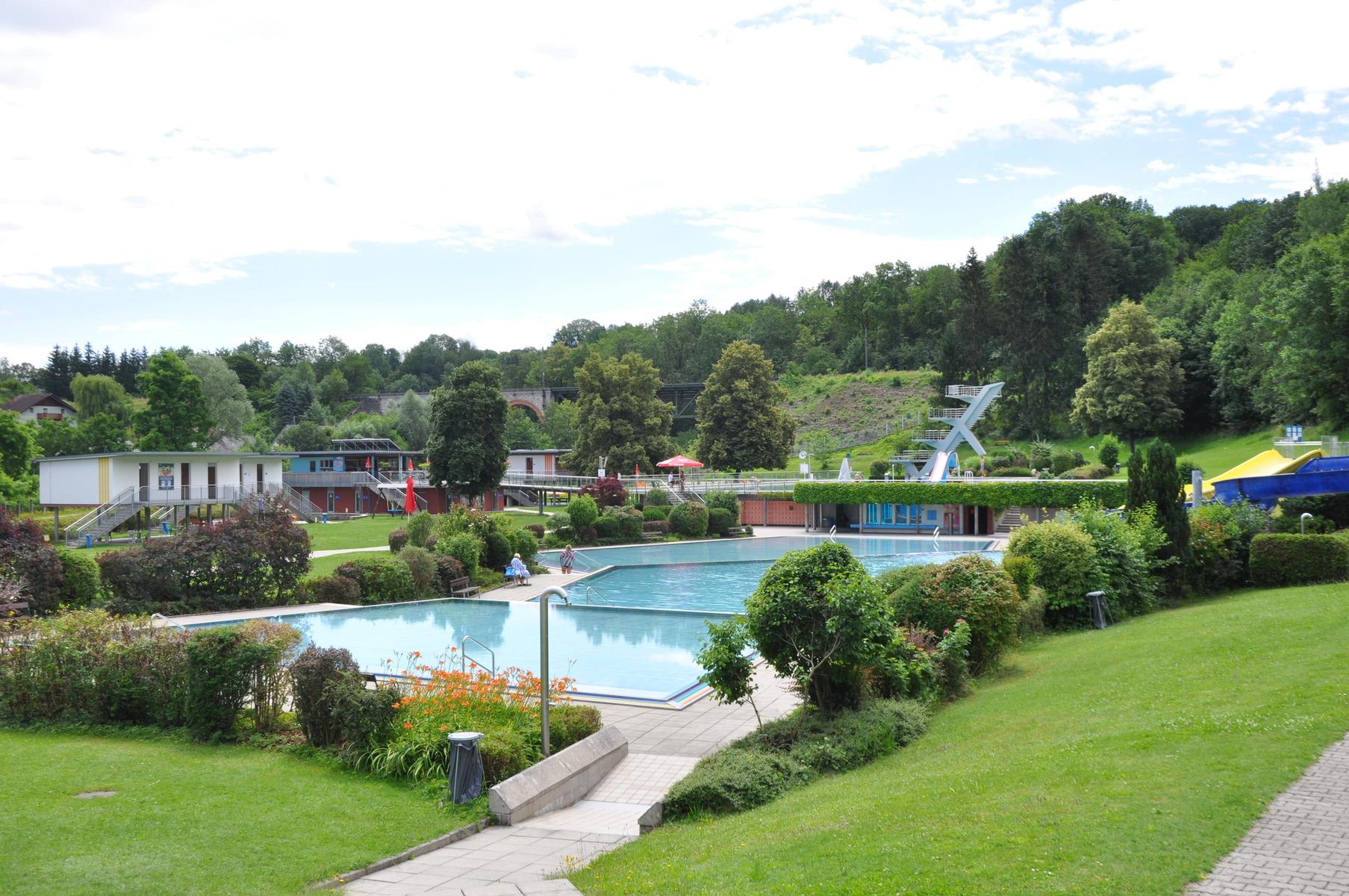
The municipal baths in Steyr, with indoor and outdoor pools and a Finnish sauna.
7 km away, in Steyr
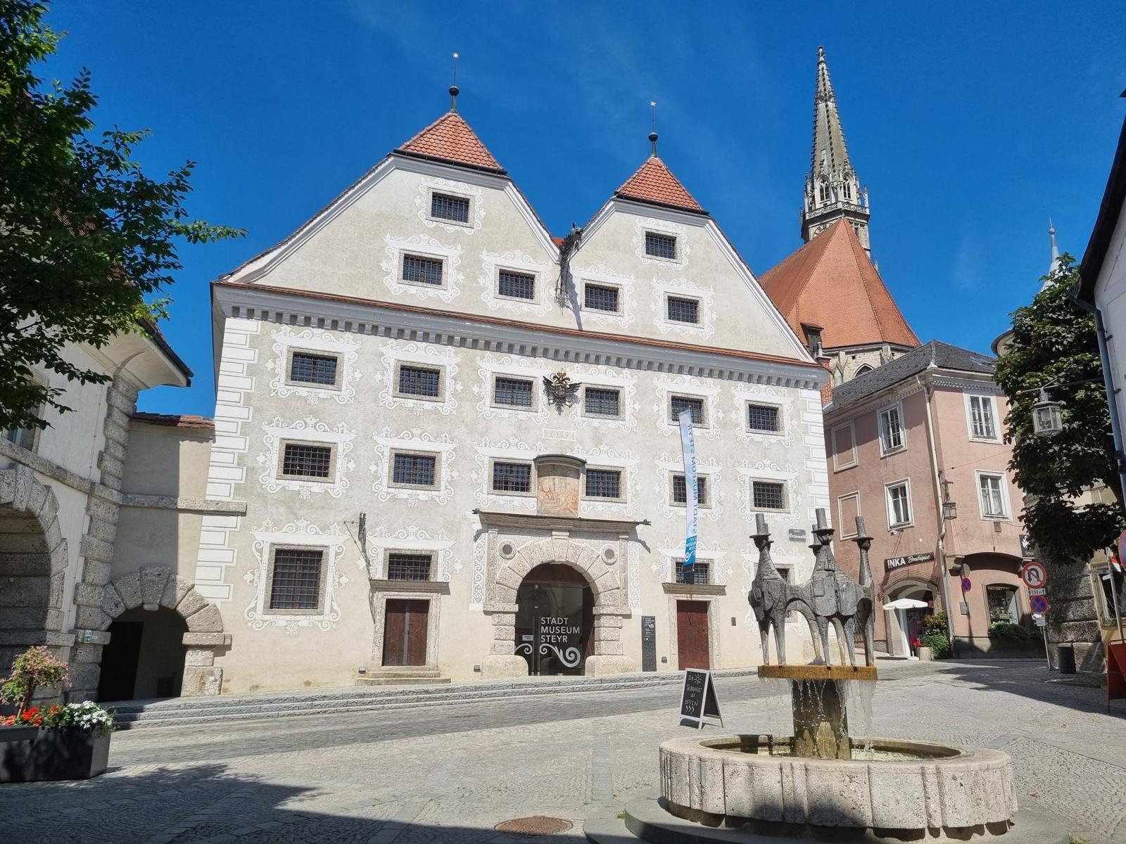
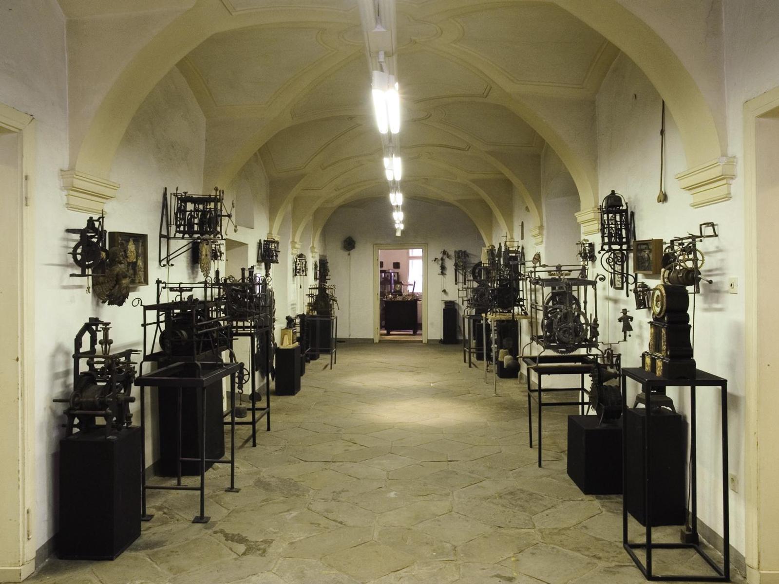
The town museum of Steyr, on more than a thousand years of the iron trade and the burghers who lived by it.
7.2 km away, in Steyr
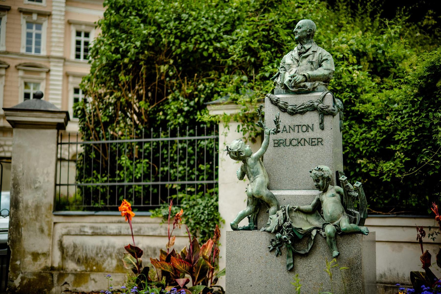
A monument in Steyr to Anton Bruckner, who played the organ of the town parish church.
7.2 km away, in Steyr
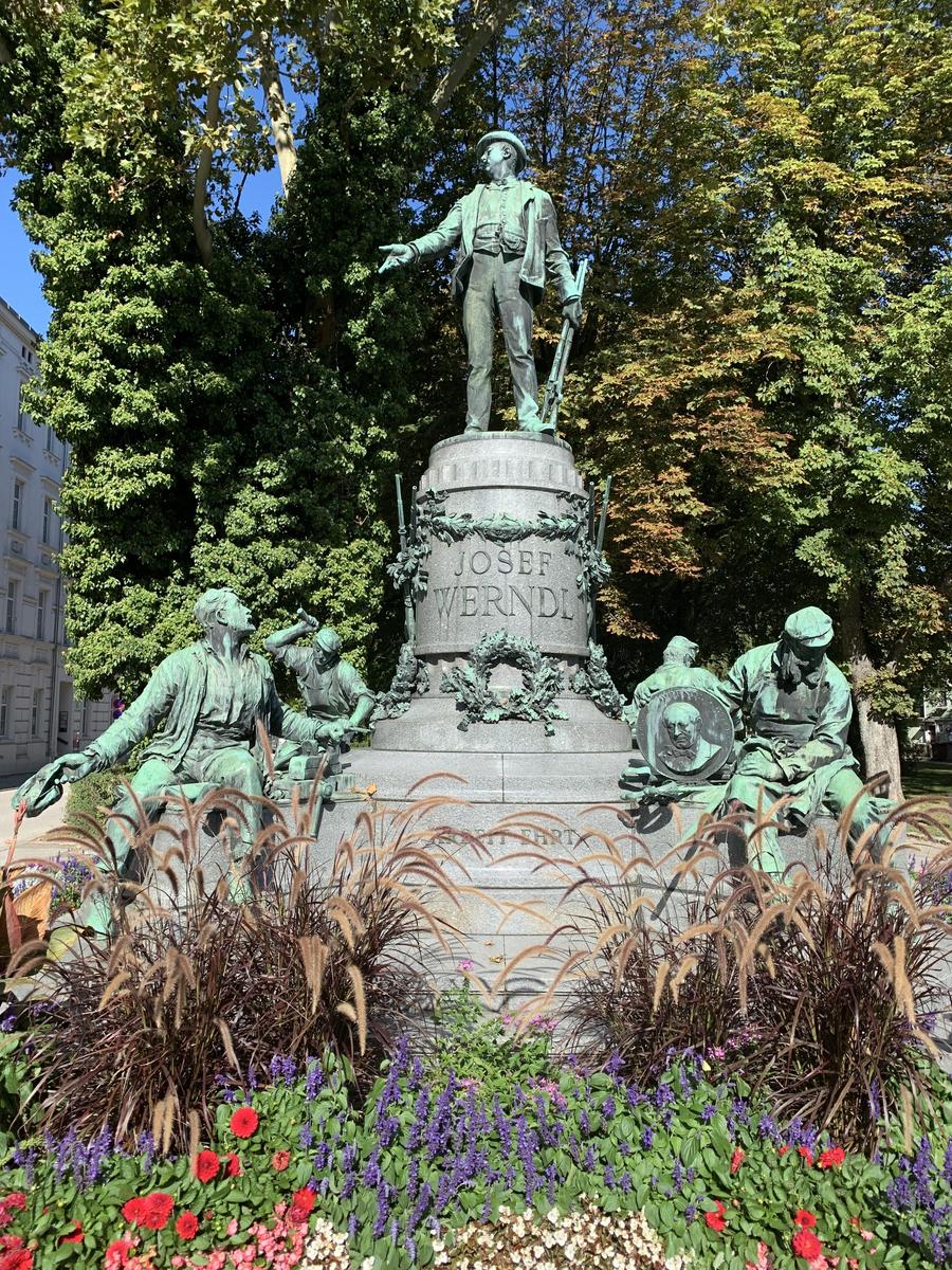
A monument in Steyr to Josef Werndl, whose arms works made the town an industrial centre.
7.3 km away, in Steyr
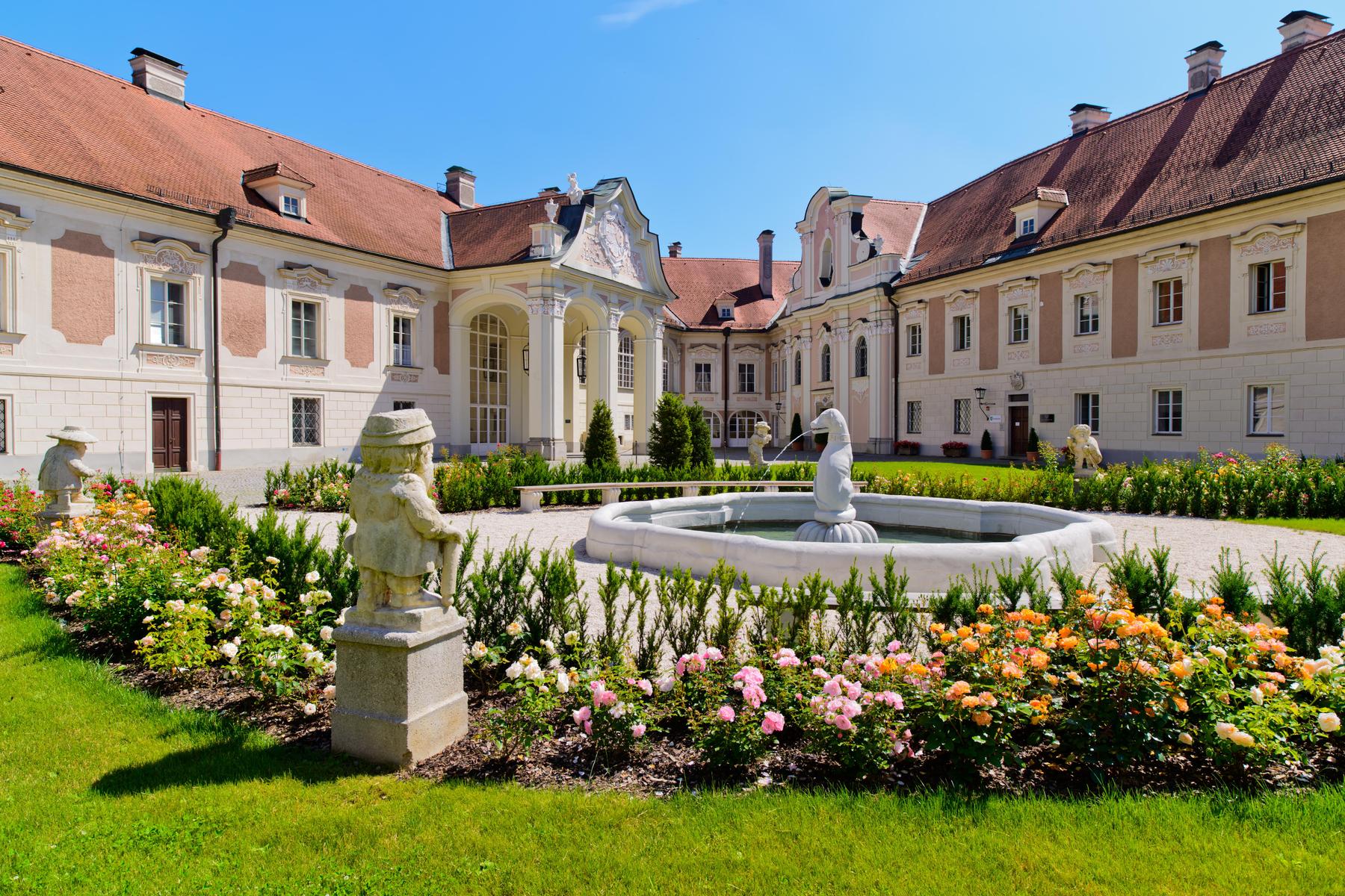
The castle above the Enns in Steyr, rebuilt in baroque form, with a courtyard open to the town.
7.5 km away, in Steyr
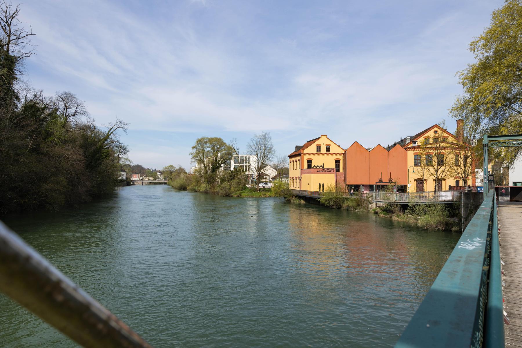
A museum of the world of work in Steyr, on the Steyr valley cycle route.
8.8 km away, in Maria Neustift
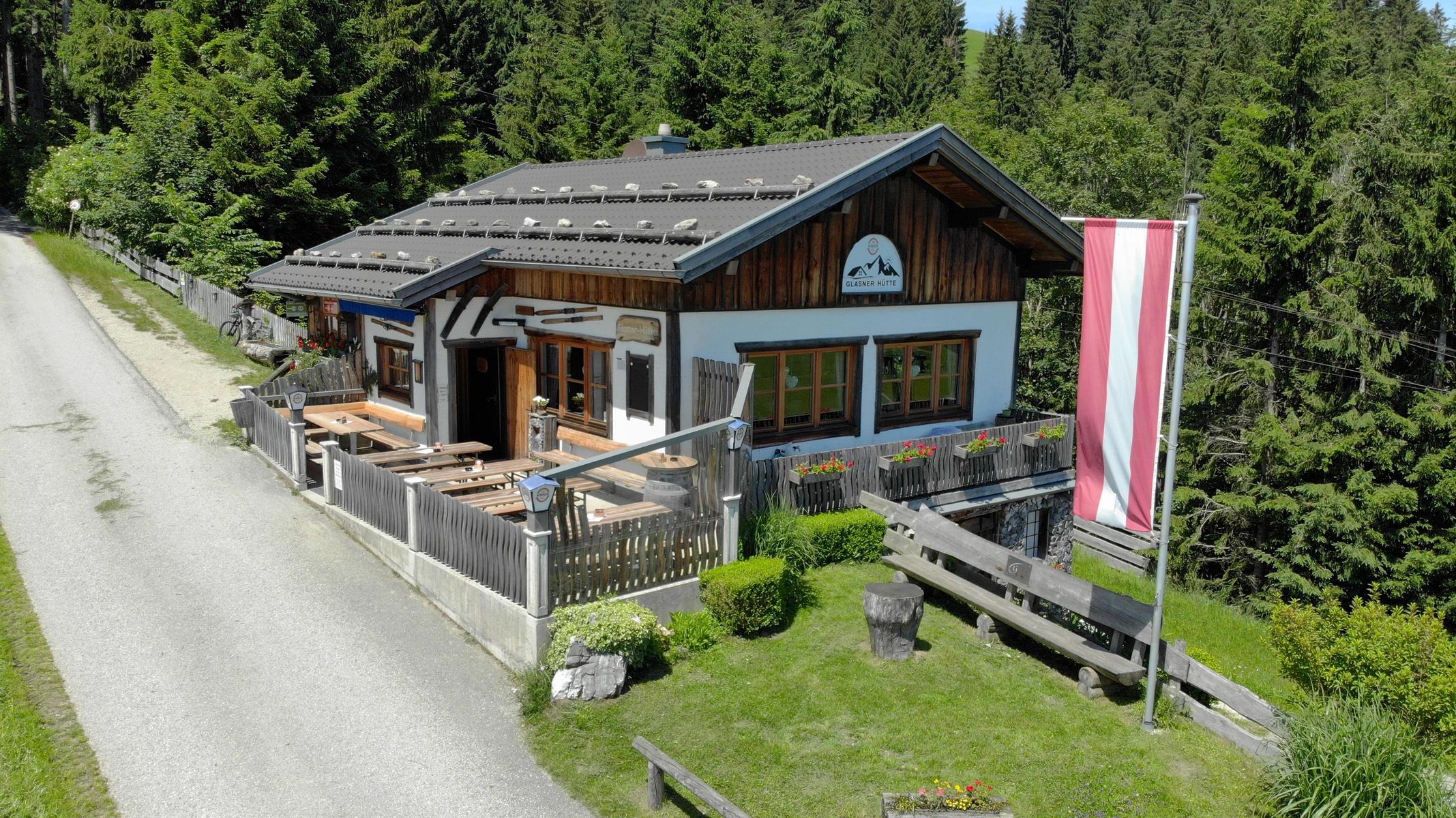
A hut at 804 m above Maria Neustift with a wide view, an e-bike charging point and a vending machine outside opening hours.
9 km away, in Steyr
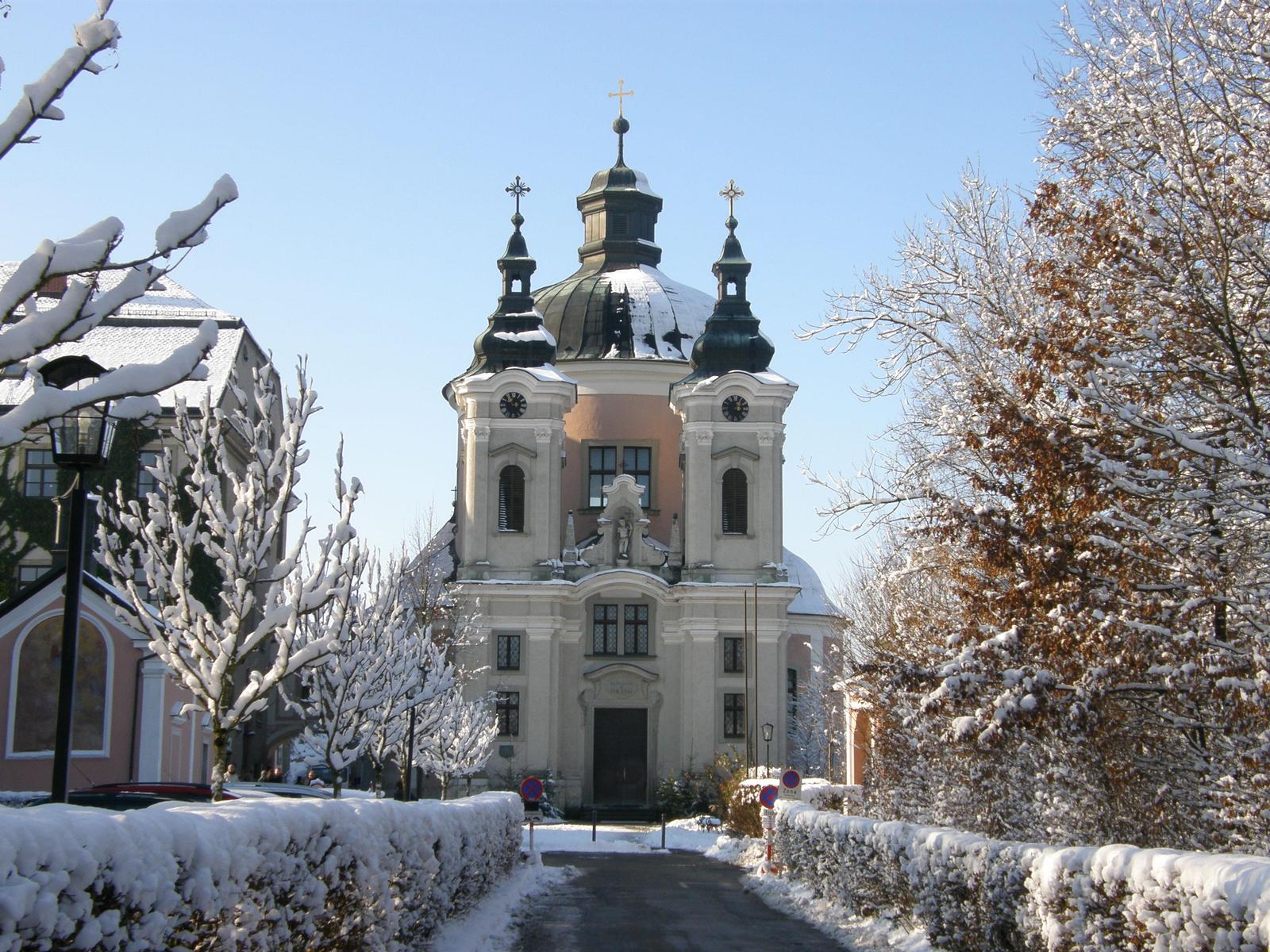
The pilgrimage church of Christkindl on the edge of Steyr, a baroque domed church visited above all in Advent.
9.3 km away, in Großraming
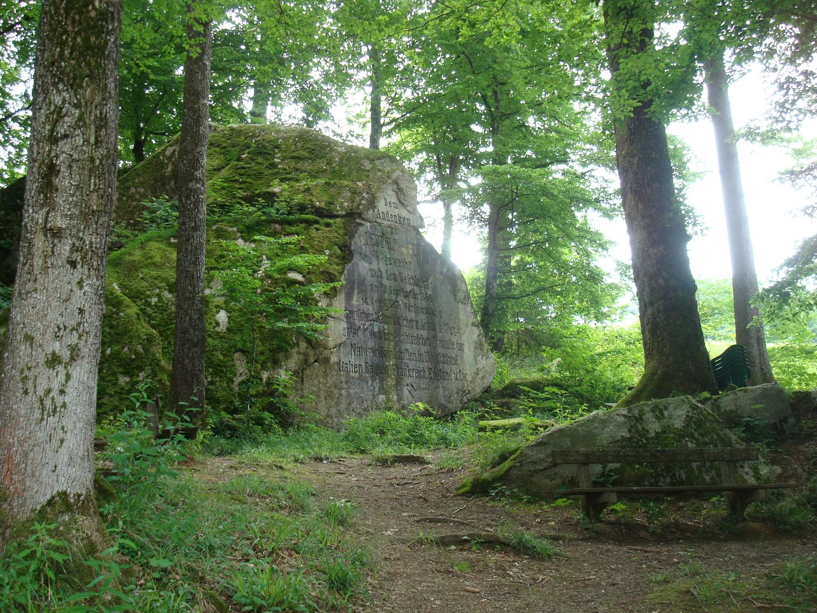
A monument to the geologist Leopold von Buch above Großraming, set among granite blocks that carry an unusual variety of plants.
Nothing of this kind in St. Ulrich bei Steyr.
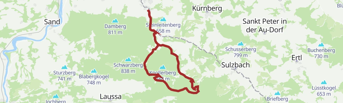
An easy circuit in the hills near Laussa with only modest climbing, comfortably walked in a couple of hours.
An easy round from St. Ulrich under the Damberg, short enough for an afternoon and a good introduction to the hills above Steyr.
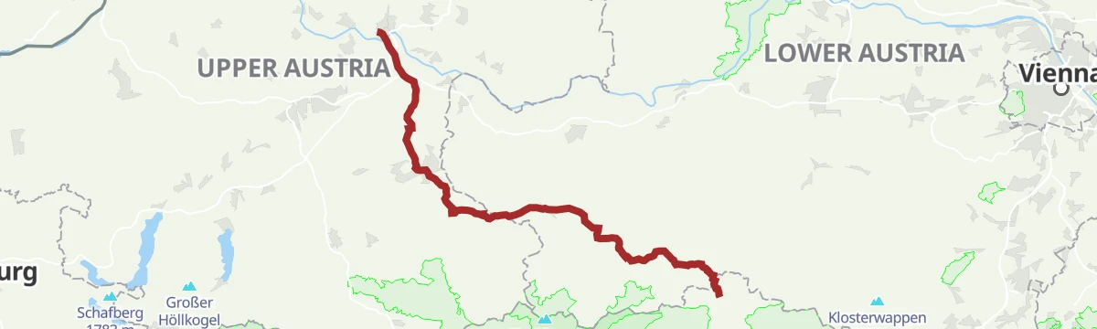
The classic Upper Austrian pilgrim way to Mariazell, leading from Linz by way of Steyr and Waidhofen an der Ybbs on mostly gentle ground.
A nearly level run down the Enns to its mouth, passing through Steyr with its town tower and old gates on the way.
A stage of the long-distance cycle route along the Enns, running through the mountain country of the Ennstal near Admont.
A short round to the lookout tower on the Damberg, with the town of Steyr and the Kalkalpen national park in sight, back by the chapel.
A forest-road circuit in the Kleinkohlergraben below the Duftkreuz, in the hills around St. Peter in der Au.
The sportier variant of the Upper Austrian pilgrim way to Mariazell, leaving Linz on a hillier line with close to 1,000 m of climbing.
An ambitious round in the country outside Steyr, for riders who want the effort as well as the scenery.
A circuit up to the Dambergwarte tower past the Gasthof Schoiber, returning along the Rennweg with a bible path on the way.
A full day on foot through the rolling hill country of the national park region, with wide views, botanical interest and a place to stop for a meal.
A road-bike tour setting out from Reichraming in Upper Austria, in the wooded hills on the eastern side of the lower Enns valley.
An easy panoramic walk along grassy ridges near Laussa, with a small hut on the Sonnberg where a vending machine keeps drinks.
A long round in shaded forest on the Damberg, with open viewpoints along the way and a second loop over the neighbouring Schwarzberg.
A long road ride from Steyr station, down the Enns to the power station at Garsten and onto the Ennsradweg before the climbing starts.
A gentle ridge walk above Laussa, an easy round with wide views that is listed for the winter months rather than high summer.
A shaded circuit through the Großkohlergraben and the Höllgraben, returning by the Spadenbergstraße and the Kleinkohlergraben.
A day stage on the valley cycle route down to Steyr, passing the Neutor and the ibex in the castle moat before Garsten.
A long historic route between Garsten and Großraming, the shortest link the river raftsmen once used, with views and inns on the way.
A demanding circuit from the Wolfsgruberau over the Plattenberg and the Spadenberg, out to the Geroldkapelle and on to the Eigruberhof.
A summit circuit in the Dambachtal near Laussa, taking in the tops around the valley with somewhere to stop for refreshments.
A panoramic circuit that follows the Enns and climbs by the Windloch to the Damberg above St. Ulrich.
A demanding panoramic round along the Enns and over the Windloch, linking the tops of Damberg, Schwarzberg, Sonnberg and Fuchsenkogel.
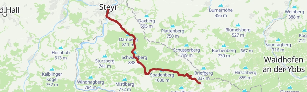
The classic Upper Austrian pilgrim way to Mariazell by way of Steyr and Waidhofen an der Ybbs, walked in three day stages.
A long horseshoe from Sand over the Sonnberg and Schwarzberg, passing the Dambergwarte lookout tower before returning to the start.
A compact round from St. Ulrich over the 838 m Schwarzberg, easily linked with the smaller loop under the Damberg.
No routes of this kind in St. Ulrich bei Steyr yet.
Summit
via OÖ Mariazellerweg: A: Klassischer OÖ Mariazellerweg über Steyr und Waidhofen an der Ybbs

Featured route
An easy circuit in the hills near Laussa with only modest climbing, comfortably walked in a couple of hours.
Everything else Upper Austria has, in one place
Every route on this page with 3D terrain, GPX navigation and offline maps — including the valleys with no signal.


