
 Historic site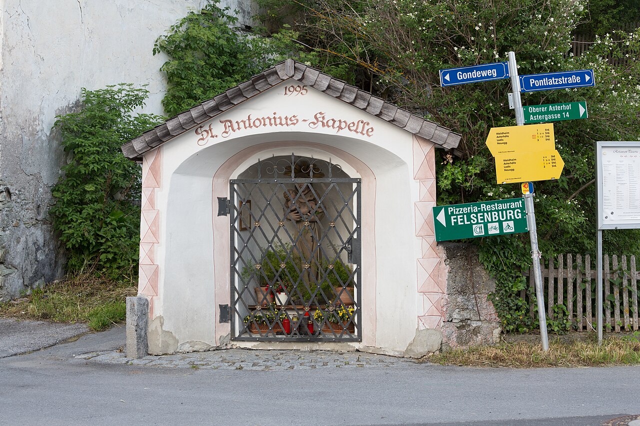
 Cable car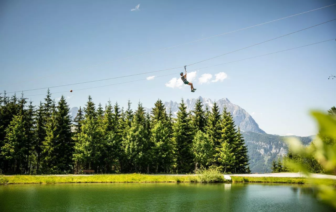





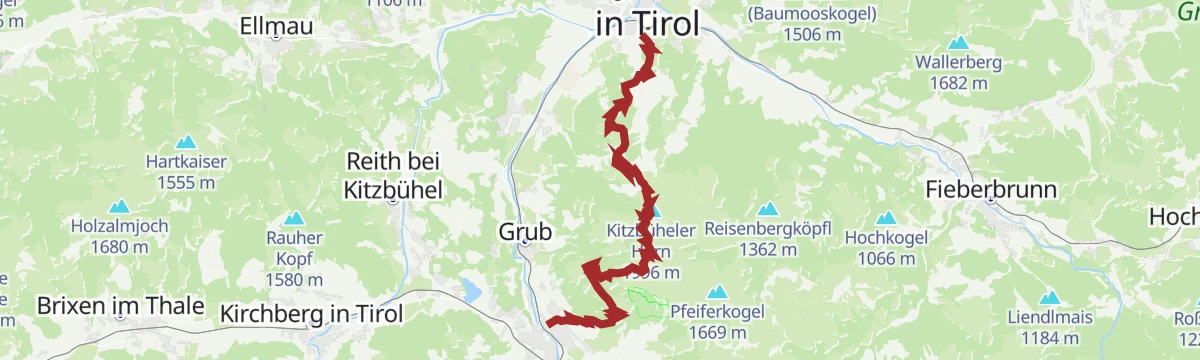
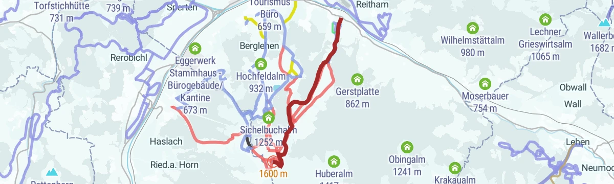

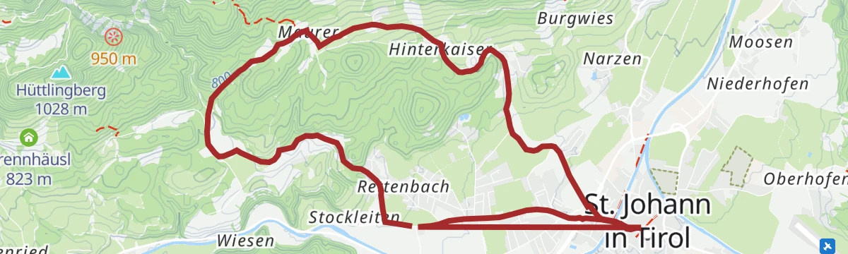

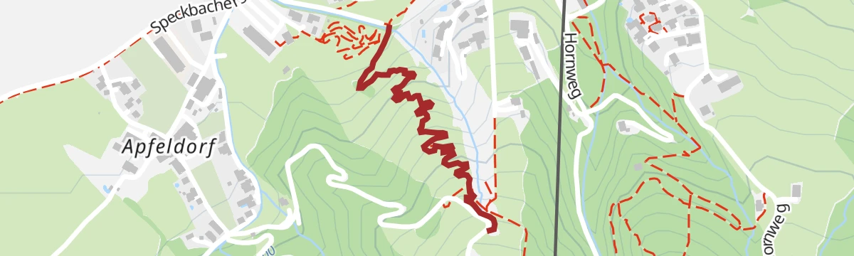







Curated by Kitzbüheler Alpen Tourismus
St. Johann in Tirol
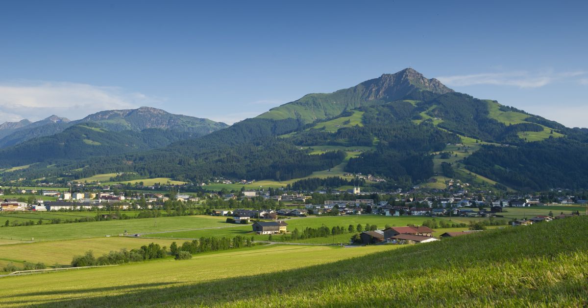
A market town of nearly 10,000 in the wide basin between Wilder Kaiser and Kitzbüheler Horn, a year-round resort with the Schleierwasserfall climbing crag nearby.
- 10Highlights
- 118Routes
- Featured summit · Kitzbüheler Horn
Highlights
5 from neighbouring places
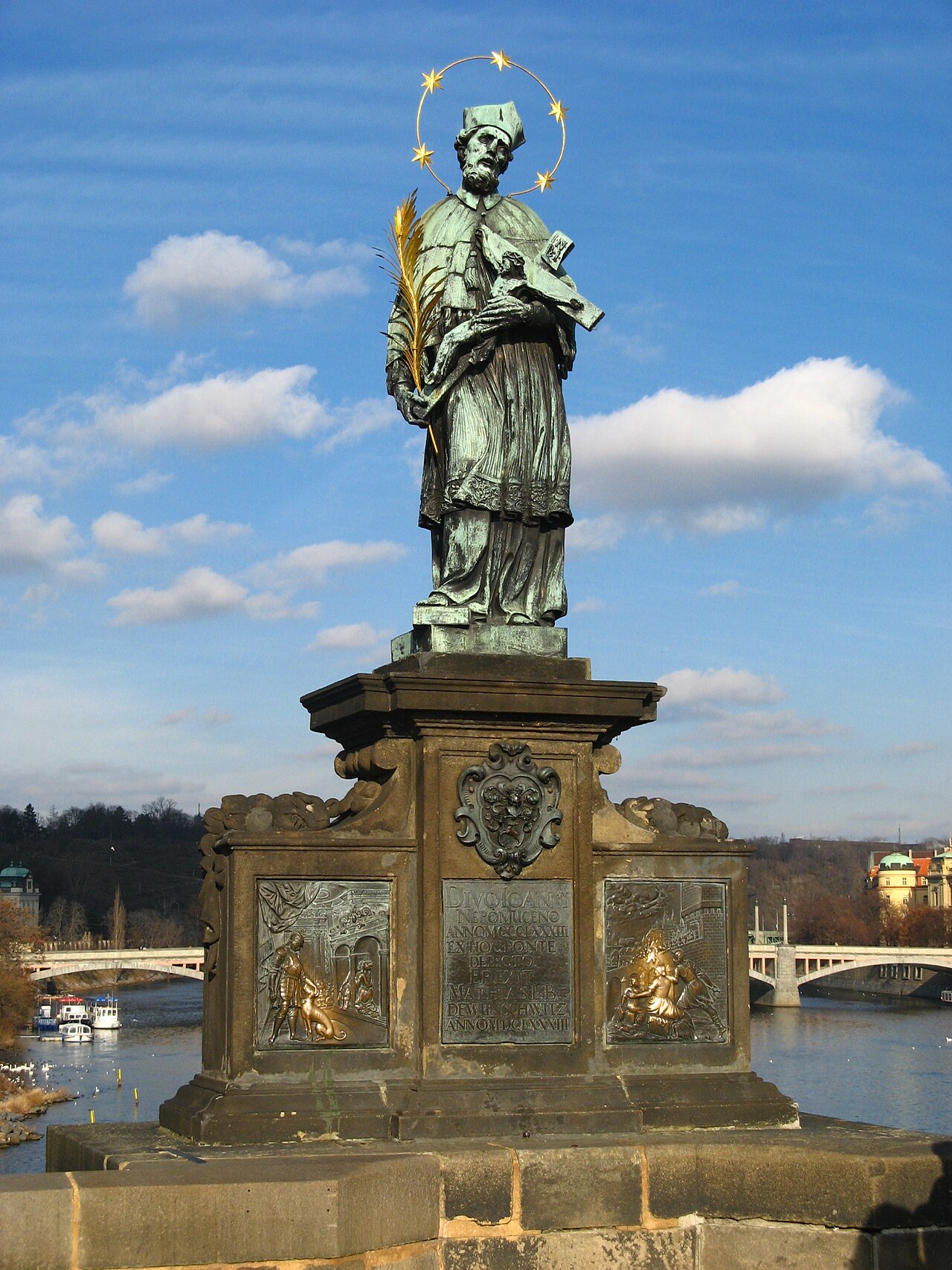
Nepomukstatue
A statue of Saint John of Nepomuk in St. Johann in Tirol, the bridge saint traditionally placed near water crossings.
Antoniuskapelle
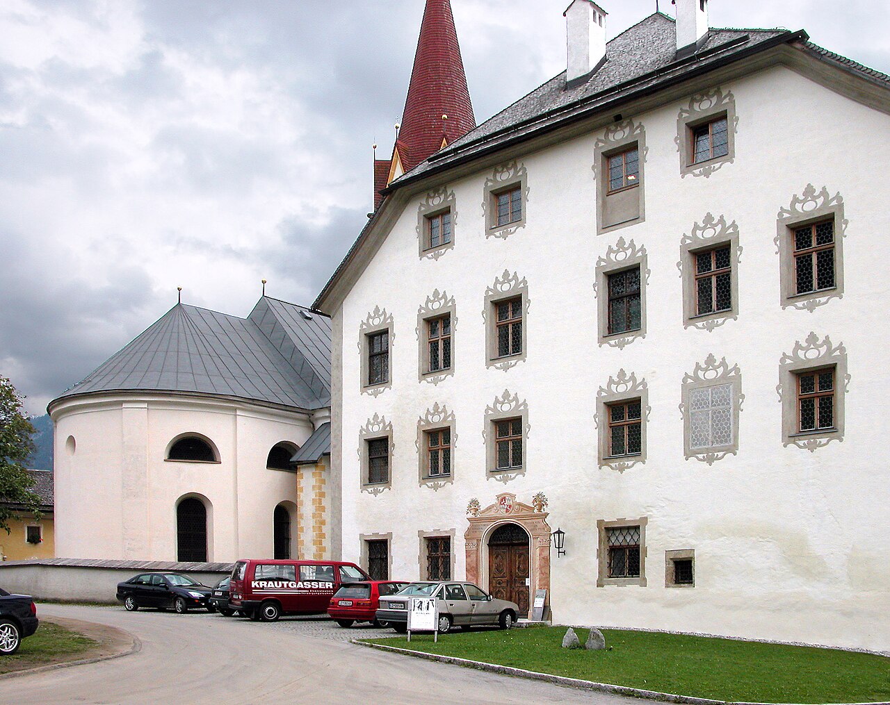
A chapel dedicated to Saint Anthony in St. Johann in Tirol, a small baroque building in the centre of the market town.
Angerer Alm
A mountain inn at the Harschbichl above St. Johann in Tirol, serving regional cooking near the top station of the local lifts.
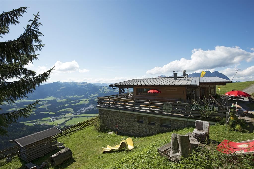
Stanglalm
A pasture hut above Oberndorf in Tirol on the flanks of the Kitzbüheler Horn range, serving alm food to walkers and skiers.
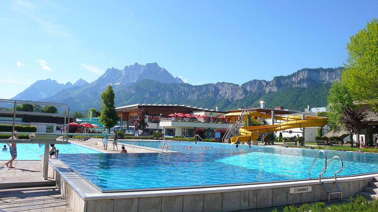
Panorama Badewelt
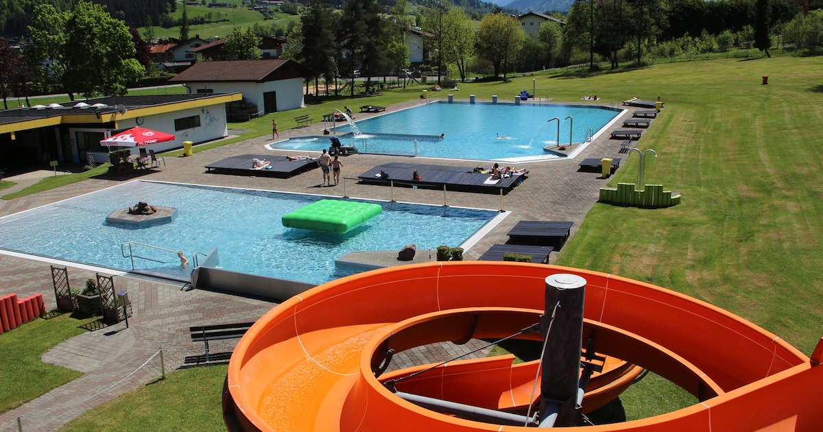
The outdoor pool complex of St. Johann in Tirol, with swimming pools and lawns facing the Kaiser mountains.
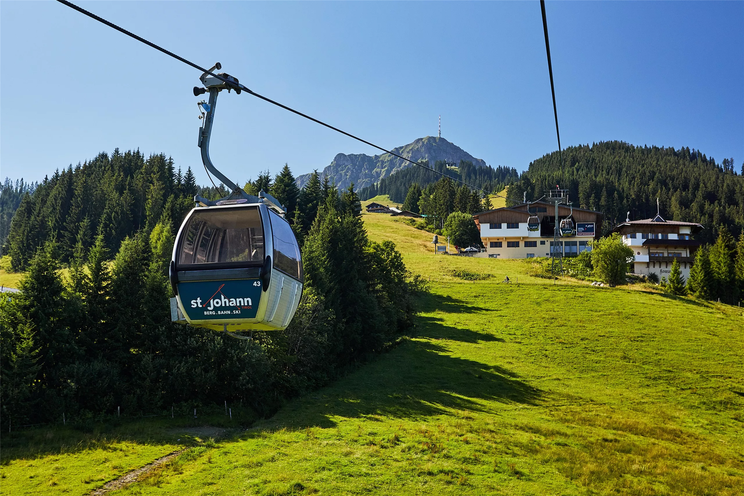
Bergbahnen St. Johann in Tirol
The lift company on the Kitzbüheler Horn side of St. Johann in Tirol, running gondolas from the town to ski slopes in winter and walking country in summer.
Kletterwald Hornpark & Mountaincart St. Johann
A high-ropes forest course and mountaincart run at St. Johann in Tirol, with climbing routes through the trees for a range of ages.
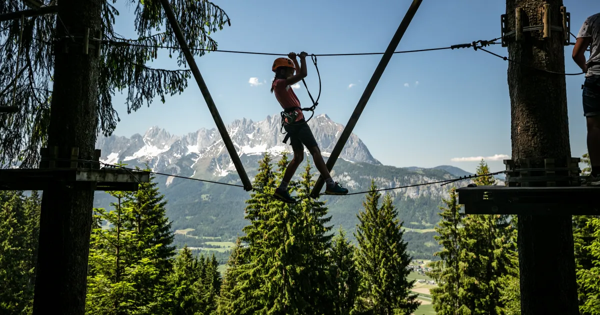
Hornpark - Kletterwald
A forest high-ropes park at the base of the Kitzbüheler Horn near St. Johann in Tirol, with rope courses of varying difficulty strung between the trees.
Alpengasthof Hirschberg
An Alpengasthof in the hills above St. Johann in Tirol, combining guest rooms with a kitchen that serves walkers in the Kitzbüheler Alpen.
Moor & more Waldspielplatz
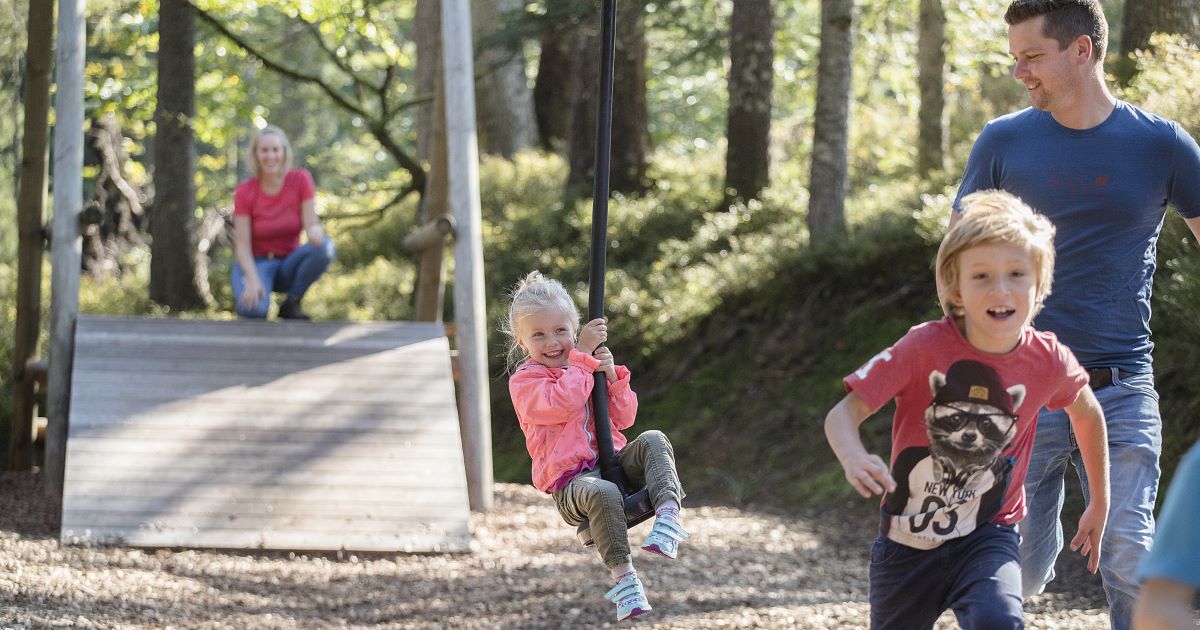
A forest play area on the Moor & more nature trail near St. Johann in Tirol, with wooden play stations themed around the moorland.
Kitzbüheler Horn
4.4 km away, in Kitzbühel
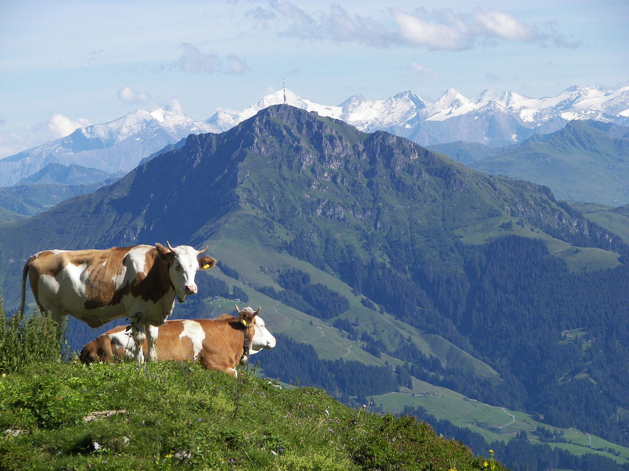
The 1,996 m peak above Kitzbühel, reached by cable car and a toll road, with an alpine flower garden below the summit and wide views of the Kitzbühel Alps.
Rerobichl Bergbau Museum
4.5 km away, in Oberndorf in Tirol
A mining museum at Oberndorf in Tirol recalling the Rerobichl, a hill whose silver and copper shafts were among the deepest of their time.
Bichlachbad
4.6 km away, in Oberndorf in Tirol
The outdoor swimming pool of Oberndorf in Tirol at 687 m, a summer bathing spot in the Bichlach area between St. Johann and Kitzbühel.
Pfarrkirche zum Hl. Stephan
5 km away, in Kirchdorf in Tirol
The parish church of Kirchdorf in Tirol, dedicated to Saint Stephen, at the centre of the village beneath the Wilder Kaiser.
Spielplatz Alpenhaus
5.2 km away, in Kitzbühel
A playground at the Alpenhaus on the Kitzbüheler Horn, giving children a play stop at the mountain restaurant.
Nothing of this kind in St. Johann in Tirol.
Routes
50 routes, an even mix of activities · see the rest on kitzbueheler-alpen.com ↗
Kitzbüheler Horn Klettersteige
Group of cabled routes high on the Kitzbüheler Horn near the summit house, short in distance but 430 m of climbing where every hold counts.
- 1.8 km
- Distance
- 411 m
- Ascent
- 1 h 54 min
- Duration
- 83
- Check-ins
Klettersteig: Maiklsteig - Ursulablick
A secured mountain path gaining roughly 500 m to the Ursulablick viewpoint, a short but steep via-ferrata outing graded for climbers with some experience.
- 1.4 km
- Distance
- 507 m
- Ascent
- 3 h 17 min
- Duration
- 5
- Check-ins
Vom Harschbichl zum Angereralmsee
A gondola-assisted stroll from St. Johann's top station along gentle paths to a small mountain lake, passing the Stanglalm, the Koasaburg play fort and the Hornpark.
- 4.3 km
- Distance
- 60 m
- Ascent
- 1 h 9 min
- Duration
- 41
- Check-ins
 Harschbichl 1 604 m
 Berggasthof Harschbichl 1 602 m
- Alpengasthaus Stanglalm 1 456 m
- Koasaburg 1 199 m
 Bergsee Angerer Alm 1 185 m
- Hornpark 1 192 m
Horn Gipfel-Höhenweg
A high connecting path between the Kitzbüheler Horn summit house and the Harschbichl above St. Johann — 500 m of height change along the mountain's quieter side.
- 6.0 km
- Distance
- 502 m
- Ascent
- 3 h 13 min
- Duration
- 83
- Check-ins
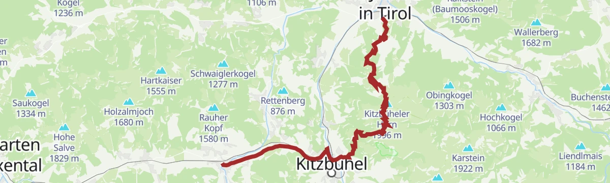
Umgebung: 3. Etappe KAT Walk Family
The longest KAT Walk Family stage, 26.5 km from Kirchberg over the Kitzbüheler Horn and the Harschbichl to St. Johann in Tirol.
- 26.5 km
- Distance
- 1 333 m
- Ascent
- 9 h 59 min
- Duration
- 124
- Check-ins
Pistengeher Route Bassgeigeralm
A short, beginner-friendly marked ascent beside the piste, ending at the alm hut at the top, where skiers can refuel before gliding back down the groomed slope.
- 2.6 km
- Distance
- 340 m
- Ascent
- 340 m
- Descent
- 1 h 12 min
- Duration
- 5
- Check-ins
Pistengeher Route Harschbichl
A designated touring line up the St. Johann pistes, climbing past the Angerer Alm and Hochfeldalm to the Berggasthof at the top station before the groomed run home.
- 4.3 km
- Distance
- 926 m
- Ascent
- 926 m
- Descent
- 2 h 56 min
- Duration
- 47
- Check-ins
2001 | Harschbichl Trail Rot
A downhill trail from the mid station at about 1,200 m, running past the Bergsee Angerer Alm and the Koasaburg.
- 3.5 km
- Distance
- 0 m
- Ascent
- 18 min
- Duration
- 10
- Check-ins
- Koasaburg 1 199 m
- Bergsee Angerer Alm 1 185 m
- Hornpark 1 192 m
Bergsee Angereralm mit Abfahrt übern Single Trail
A climb past the Koasaburg and Schleichalm to the alm lake, then a singletrack descent back down to the valley station.
- 7.7 km
- Distance
- 500 m
- Ascent
- 1 h 17 min
- Duration
- 8
- Check-ins
Auf dem Harschbichl Trail MTB - Nr. 216, 2001 und 2000
A climb on forest roads to the Berggasthof at 1,602 m linked with the graded descents back to the valley, past the Sichelbuchalm and Koasaburg.
- 15.5 km
- Distance
- 970 m
- Ascent
- 2 h 31 min
- Duration
- 55
- Check-ins
Harschbichl Trail Route 2001
An easy 3 km descent from the mid station above St. Johann in Tirol, past the Bergsee Angerer Alm and the Koasaburg.
- 3.0 km
- Distance
- 0 m
- Ascent
- 16 min
- Duration
- 7
- Check-ins
- Koasaburg 1 199 m
- Bergsee Angerer Alm 1 185 m
Hinterkaiserrunde - Bike Trail Nr. 217
A near-flat circuit out of St. Johann in Tirol with under 200 m of climbing over 9 km, short enough to serve as a family tour.
- 9.5 km
- Distance
- 177 m
- Ascent
- 1 h 1 min
- Duration
Bike & Hike St. Johann in Tirol - Feldberg
A ride up the Kaiserbachtal from St. Johann in Tirol to the Griesner Alm, then on foot over the Stripsenjoch to the Feldberg above.
- 39.3 km
- Distance
- 1 503 m
- Ascent
- 4 h 54 min
- Duration
- 100
- Check-ins
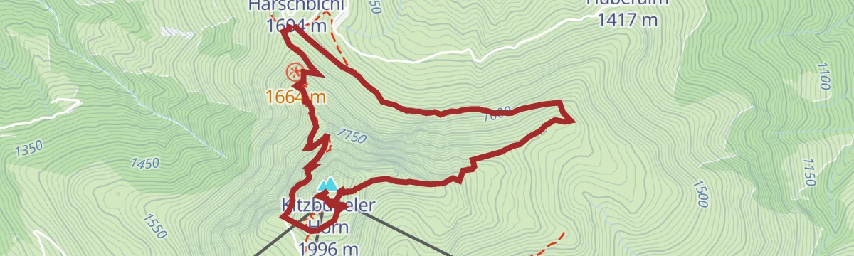
Harschbichlrunde
Short summit loop from the Harschbichl mid-station of the St. Johann gondola, circling up to the Berggasthof and the summit cross.
- 2.1 km
- Distance
- 114 m
- Ascent
- 49 min
- Duration
- 25
- Check-ins
Kitzbüheler Horn über Horn-Gipfel-Höhenweg
Gondola-assisted route from the Harschbichl station above St. Johann along the high path to the Gipfelhaus, with the lift trimming the climb to under 500 m.
- 5.3 km
- Distance
- 467 m
- Ascent
- 2 h 57 min
- Duration
- 58
- Check-ins
5. Etappe KAT Walk Alpin
The fifth alpine stage of the KAT Walk long-distance route, climbing from Kitzbühel over the shoulder of the Kitzbüheler Horn past the Stanglalm and Hochfeldalm — 21 km with over 1,300 m of ascent.
- 21.0 km
- Distance
- 1 334 m
- Ascent
- 9 h 6 min
- Duration
- 95
- Check-ins
Pistengeher Route Eichenhof
From the Eichenhof lifts in St. Johann, a sustained skin past the Lackneralm and Gruenwaldalm to the Berggasthof at the Harschbichl top station; the return runs on the pistes.
- 4.7 km
- Distance
- 921 m
- Ascent
- 921 m
- Descent
- 2 h 59 min
- Duration
- 31
- Check-ins
2000 | Harschbichl Trail Blau
A short, easy flow trail finishing beside the Übungslift Rueppen on the valley floor at St. Johann in Tirol, under a kilometre long.
- 786 m
- Distance
- 0 m
- Ascent
- 4 min
- Duration
217 | Hinterkaiser
A gently rising track ride from the tourist office in St. Johann in Tirol, with only 200 m of climbing spread over 10 km.
- 12.0 km
- Distance
- 200 m
- Ascent
- 1 h 15 min
- Duration
- 1
- Check-ins
214 | Harschbichl I
A steep forest-road climb from St. Johann to the Berggasthof at 1,602 m, by way of the Hochfeldalm and Angerer Alm.
- 8.9 km
- Distance
- 937 m
- Ascent
- 2 h 10 min
- Duration
- 51
- Check-ins
Harschbichl Trail Route 2000
A very short, easy ride on the valley floor at St. Johann in Tirol, ending by the Übungslift Rueppen after well under a kilometre.
- 938 m
- Distance
- 0 m
- Ascent
- 5 min
- Duration
Bike & Hike St. Johann in Tirol - Stripsenkopf
A long approach ride to the Griesner Alm, with the walk up to the Stripsenjochhaus and the Stripsenkopf at the head of the valley.
- 37.0 km
- Distance
- 1 406 m
- Ascent
- 4 h 37 min
- Duration
- 93
- Check-ins
Zur Grander Schupf
Easy walk from St. Johann in Tirol to the Grander Schupf, a rustic snack hut on the sunny side of the valley.
- 8.3 km
- Distance
- 169 m
- Ascent
- 2 h 21 min
- Duration
- 7
- Check-ins
Mittelstation Angereralmsee – Stanglalm – Harschbichlalm – Angerer Alm - Mittelstation
From the Harschbichl mid-station, a compact loop past the Angerer Alm and its bergsee to the Stanglalm and the Harschbichl top.
- 6.8 km
- Distance
- 455 m
- Ascent
- 3 h 4 min
- Duration
- 54
- Check-ins
Aufs Kitzbüheler Horn über den Almenweg in Oberndorf
Full-length ascent of the Kitzbüheler Horn from Oberndorf via the Almenweg, passing the Stanglalm before the final pull to the Gipfelhaus at 1,996 m.
- 9.4 km
- Distance
- 1 293 m
- Ascent
- 7 h 32 min
- Duration
- 73
- Check-ins
Schleierwasserfall
A 15 km mountain-bike outing from St. Johann in Tirol, climbing some 600 m to the waterfall the route is named for.
- 15.0 km
- Distance
- 590 m
- Ascent
- 1 h 53 min
- Duration
- 1
- Check-ins
215 | Harschbichl II
A climb on service roads past the Schleichalm and Angerer Alm to the top station at 1,600 m, a variant on the main ascent.
- 9.1 km
- Distance
- 936 m
- Ascent
- 2 h 10 min
- Duration
- 46
- Check-ins
- Harschbichl 1 604 m
- Angerer Alm 1 294 m
- Berggasthof Harschbichl 1 602 m
- Koasaburg 1 199 m
- Schleichalm 1 171 m
- Bergsee Angerer Alm 1 185 m
- +1
3. Etappe KAT Bike Sport+
The third stage of a multi-day traverse of the Kitzbühel Alps, close to 3,000 m of climbing over the Wildalpgatterl, Lärchfilzhochalm and Stanglalm.
- 106.7 km
- Distance
- 2 992 m
- Ascent
- 12 h 18 min
- Duration
- 81
- Check-ins
Einsiedelei - Gmailkapelle - Lourdesgrotte
From St. Johann past the Einsiedelei Maria Blut hermitage to the chapel on the Gmailköpfl and the Lourdes grotto — a chain of quiet devotional places at the Niederkaiser's foot.
- 6.3 km
- Distance
- 338 m
- Ascent
- 2 h 25 min
- Duration
- 3
- Check-ins
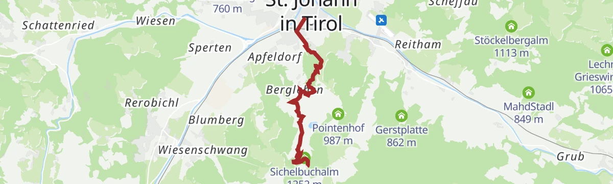
Almwanderung Angerer Alm
Steady climb from St. Johann to the Angerer Alm via the Hochfeldalm, reaching the little bergsee below the Kitzbüheler Horn.
- 5.7 km
- Distance
- 651 m
- Ascent
- 3 h 55 min
- Duration
- 29
- Check-ins
- Angerer Alm 1 294 m
- Hochfeldalm 932 m
- Koasaburg 1 199 m
- Sichelbuchalm 1 252 m
- Bergsee Angerer Alm 1 185 m
- Hornpark 1 192 m
- +2
Adlerweg-Etappe 01: St. Johann – Gaudeamushütte
Opening Adlerweg stage from Hinterkaiser near St. Johann to the Gaudeamushütte at 1,263 m, passing the Schleierwasserfall and the Diebsöfen cave.
- 12.8 km
- Distance
- 1 032 m
- Ascent
- 5 h 31 min
- Duration
- 59
- Check-ins
Auf zur Angerer Alm
A forest-road ride up to the alm at 1,294 m and its mountain lake, with the Schleichalm and Sichelbuchalm along the way.
- 15.3 km
- Distance
- 715 m
- Ascent
- 2 h 2 min
- Duration
- 42
- Check-ins
11 Rund um das Kitzbüheler Horn
A long road circuit right around the Horn, from the Glemmtal over the Pass Thurn and back through Kitzbühel on the way home.
- 115.9 km
- Distance
- 1 673 m
- Ascent
- 11 h 51 min
- Duration
- 56
- Check-ins
Gmailkapelle
Short forest climb from the Rummlerhof side to the chapel on the Gmailköpfl, passing the hermitage of Maria Blut on the Niederkaiser slope.
- 4.8 km
- Distance
- 303 m
- Ascent
- 2 h 4 min
- Duration
- 3
- Check-ins
Zu den Bergseen
Round from St. Johann to the small mountain lakes on the Kitzbüheler Horn flank, past the Baßgeigeralm and Müllneralm to the bergsee at the Angerer Alm.
- 11.5 km
- Distance
- 565 m
- Ascent
- 4 h 10 min
- Duration
- 29
- Check-ins
- Baßgeigeralm 1 046 m
- Müllneralm 1 140 m
- Koasaburg 1 199 m
- Schleichalm 1 171 m
- Bergsee Angerer Alm 1 185 m
- Hornpark 1 192 m
- +4
Müllneralm, Angerer Alm, Harschbichlalm, Stanglalm
Big alm circuit from Wiesenschwang up the Harschbichl, calling at the Müllneralm, Stanglalm and the Angerer Alm with its small bergsee.
- 14.4 km
- Distance
- 930 m
- Ascent
- 6 h 19 min
- Duration
- 54
- Check-ins
216 | Harschbichl III
A third way up the same mountain, climbing past the Grander Schupf, Dechant Alm and Kröpfl Alm to the inn at 1,602 m.
- 8.4 km
- Distance
- 944 m
- Ascent
- 2 h 9 min
- Duration
- 35
- Check-ins
MTB Nr. 214 - Harschbichl I
A long climb above St. Johann in Tirol to the Berggasthof at 1,602 m, taking in the Hochfeldalm, the Angerer Alm and its small lake.
- 17.8 km
- Distance
- 962 m
- Ascent
- 2 h 36 min
- Duration
- 51
- Check-ins
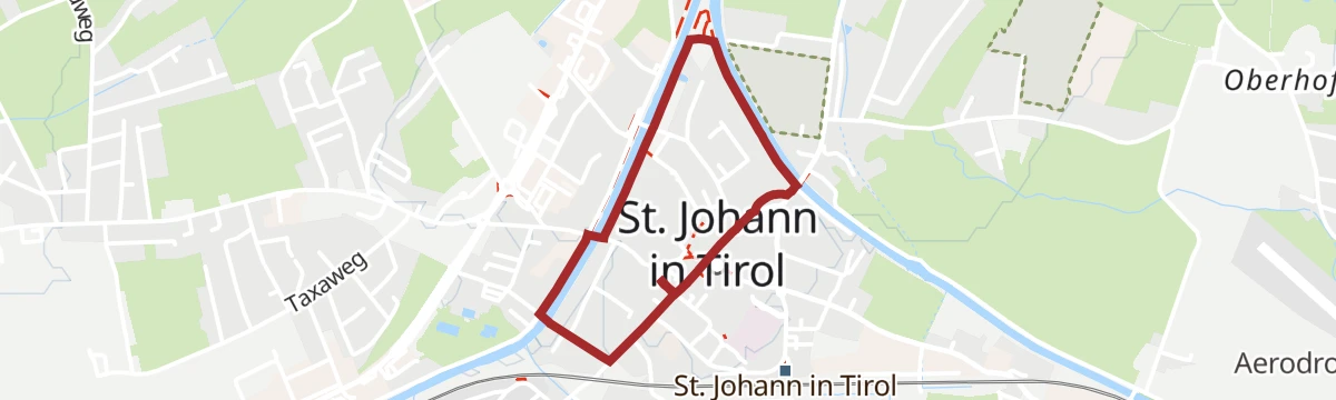
Dorfrunde St. Johann in Tirol
Flat stroll through St. Johann in Tirol's centre, linking the parish church, painted facades and riverside paths in an easy half hour.
- 2.1 km
- Distance
- 5 m
- Ascent
- 31 min
- Duration
- 1
- Check-ins
Kaiserkrone - Etappe 5
Closing Kaiserkrone stage from Gasteig along the Wilder-Kaiser-Steig over the Ursulablick and the Gscheuerkopf, descending by the two Graspoint alms to Going.
- 10.8 km
- Distance
- 891 m
- Ascent
- 5 h 35 min
- Duration
- 26
- Check-ins
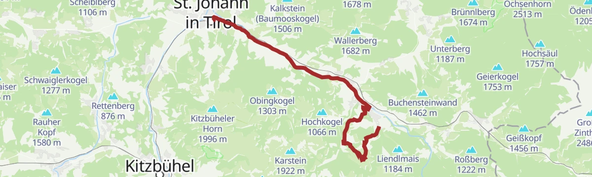
Umgebung: 4. Etappe KAT Walk Family
Fourth KAT Walk Family stage, from St. Johann in Tirol to Fieberbrunn by way of the Streuböden area and the Enzianhütte.
- 19.3 km
- Distance
- 604 m
- Ascent
- 5 h 52 min
- Duration
- 37
- Check-ins
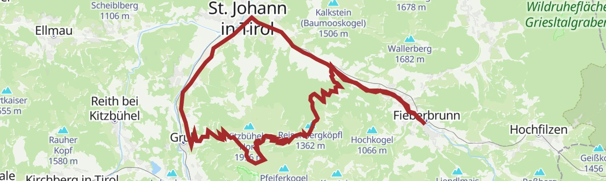
Raintal - Hornköpfl 254 - Kitzbühel 255 - St. Johann i.T. 20 - Fieberbrunn
A long mountain-bike day up to the hut and reservoir above 1,700 m, returning past the Fritzhütte, the Trattalmen and the Obere Reintalalm.
- 47.3 km
- Distance
- 1 420 m
- Ascent
- 5 h 32 min
- Duration
- 19
- Check-ins
- Hornköpfl 1 773 m
- Hornköpflhütte 1 751 m
- Speicherteich Hornköpfl 1 706 m
- Fritzhütte 1 565 m
- Infobüro Fieberbrunn 774 m
- Tourismus Büro 659 m
- +11
MTB Nr. 215 - Harschbichl II
A second line up to the top station at 1,600 m, passing the Schleichalm, the Angerer Alm and the Hornpark on the way.
- 18.2 km
- Distance
- 940 m
- Ascent
- 2 h 35 min
- Duration
- 46
- Check-ins
- Harschbichl 1 604 m
- Angerer Alm 1 294 m
- Berggasthof Harschbichl 1 602 m
- Koasaburg 1 199 m
- Schleichalm 1 171 m
- Bergsee Angerer Alm 1 185 m
- +1
Entlang der Sonnseite in den St. Johanner Winkl
Level walk along St. Johann's sunny side into the Winkl district, on lanes between old farms with the Wilder Kaiser overhead.
- 7.0 km
- Distance
- 125 m
- Ascent
- 1 h 56 min
- Duration
- 1
- Check-ins
Hornweg
Traverse along the Kitzbüheler Horn's northern flank from Oberndorf, stringing together the Baßgeigeralm, Müllneralm and the small lake at the Angerer Alm.
- 13.6 km
- Distance
- 723 m
- Ascent
- 5 h 12 min
- Duration
- 23
- Check-ins
- Baßgeigeralm 1 046 m
- Müllneralm 1 140 m
- Koasaburg 1 199 m
- Sichelbuchalm 1 252 m
- Bergsee Angerer Alm 1 185 m
- Hornpark 1 192 m
- +1
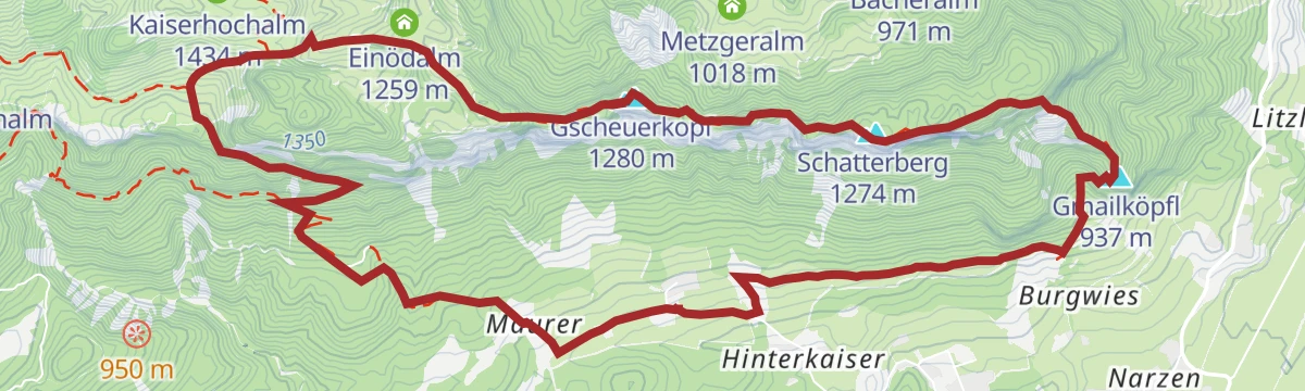
Niederkaiser mit Schleierwasserfall
Demanding traverse of the Niederkaiser ridge from St. Johann — Ursulablick, Gscheuerkopf and Gmailköpfl — with a descent past the veil waterfall's climbing crag.
- 19.7 km
- Distance
- 1 097 m
- Ascent
- 7 h 46 min
- Duration
- 20
- Check-ins
Radwanderweg Wilder Kaiser Nr. 14
A waymarked route along the southern foot of the Wilder Kaiser, from the Inn valley at Bruckhäusl up to Ellmau at around 800 m.
- 38.1 km
- Distance
- 473 m
- Ascent
- 3 h 46 min
- Duration
- 17
- Check-ins
MTB Nr. 264, 216 - Oberndorf Harschbichl
A long climb from the Leukental to the mountain inn at 1,602 m, passing the Dechant Alm and the Kröpfl Alm on the way up.
- 22.0 km
- Distance
- 979 m
- Ascent
- 2 h 53 min
- Duration
- 42
- Check-ins
Flugplatz Runde
Flat circuit around St. Johann's airfield, where gliders and light aircraft provide the entertainment on an easy valley walk.
- 6.3 km
- Distance
- 40 m
- Ascent
- 1 h 34 min
- Duration
- 1
- Check-ins
Niederkaiserkamm ab Rummlerhof über Granderalm
Ridge walk along the whole Niederkaiserkamm from the Rummlerhof, topping Ursulablick, Gscheuerkopf and Schatterberg before descending via the Granderalm.
- 11.2 km
- Distance
- 899 m
- Ascent
- 5 h 48 min
- Duration
- 22
- Check-ins
No routes of this kind in St. Johann in Tirol yet.
The region's own picks

Featured route
Vom Harschbichl zum Angereralmsee
A gondola-assisted stroll from St. Johann's top station along gentle paths to a small mountain lake, passing the Stanglalm, the Koasaburg play fort and the Hornpark.
Planning a trip to St. Johann in Tirol?
Everything else Tyrol has, in one place


Take St. Johann in Tirol with you into the mountains
Every route on this page with 3D terrain, GPX navigation and offline maps — including the valleys with no signal.
Data sources
- Official website: kitzbueheler-alpen.com ↗
- Routes and highlights: Kitzbüheler Alpen Tourismus, Kitzbühel Tourismus, Wilder Kaiser Tourismus, Kaiserwinkl Tourismus
- Published as open data by the tourist boards named above.
- Region summary generated from the board's own material.
