
 Historic site
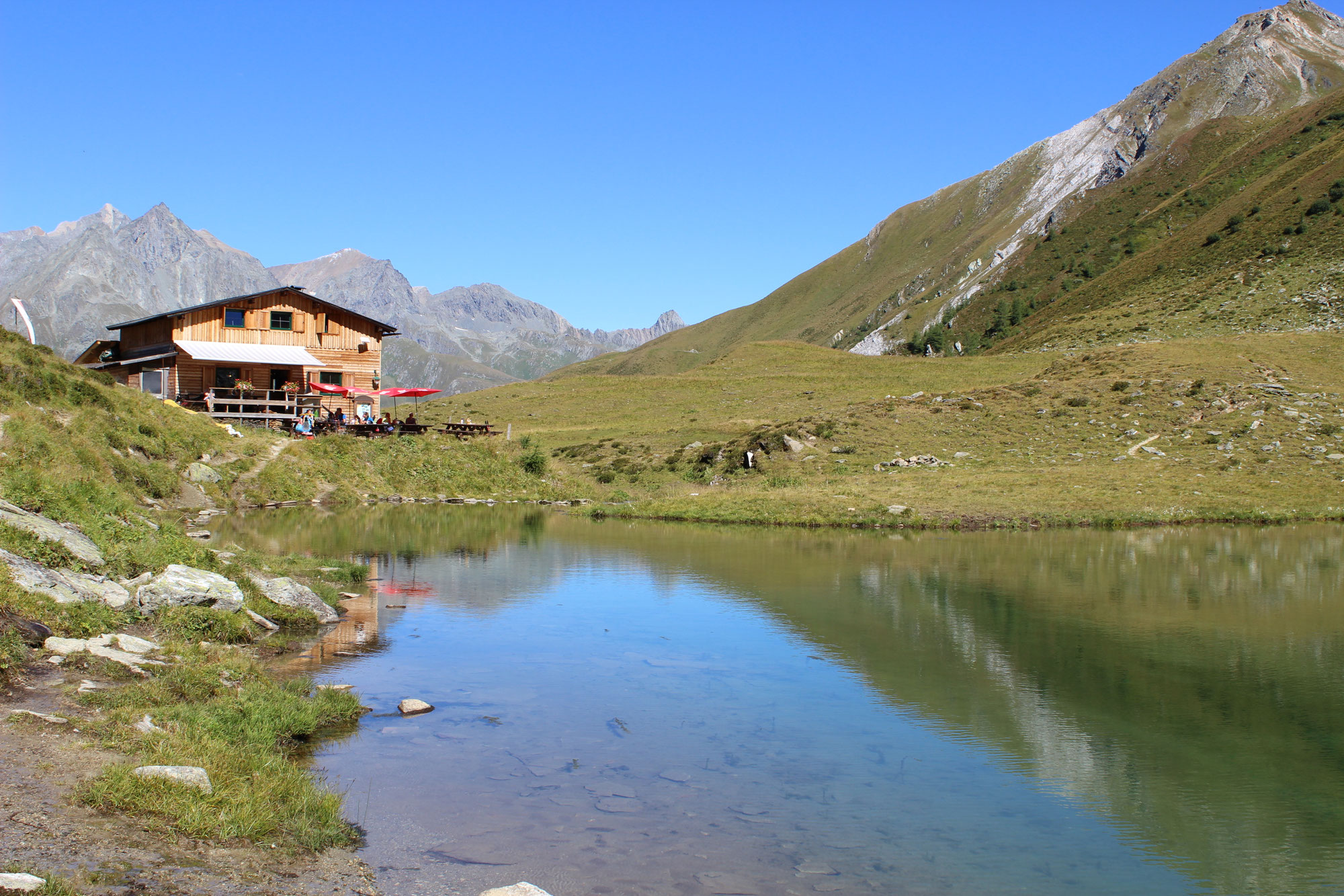
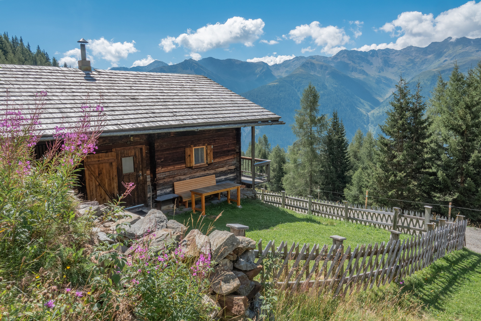
 Mountain hut

















Curated by Osttirol Tourismus
St. Jakob in Defereggen
The main village of the inner Defereggental at about 1390 m, Osttirol's most sparsely settled community, ringed by the Hohe Tauern national park with the Obersee at the Staller Sattel pass.
- 2Highlights
- 45Routes
- Featured summit · Hochgall - Monte Collalto
Highlights
9 from neighbouring places
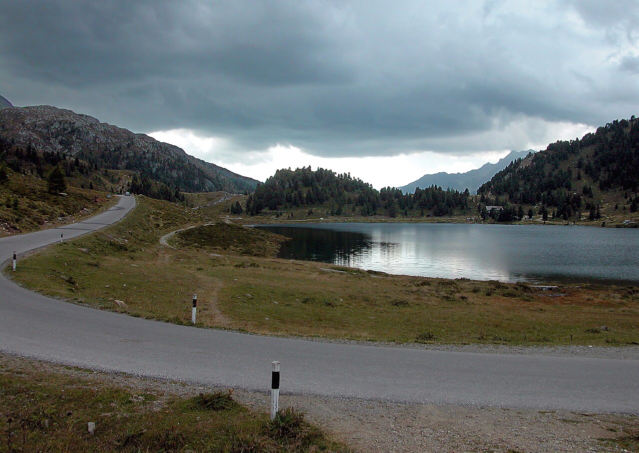
Staller Sattel und Obersee
A road pass from the Defereggen valley into Italy's Antholz valley, with the Obersee mountain lake lying just below the crossing.
Sportalm Kuhstall
A hut restaurant beside the lifts of St. Jakob in Defereggen, carrying the tongue-in-cheek name Kuhstall, or cowshed.
Clarahütte 2.038m
8.1 km away, in Prägraten am Großvenediger
An alpine club hut at 2,038 m in the Umbaltal above Prägraten, a base for walks along the upper Isel toward the Venediger group's western glaciers.
Bruggeralm 1.818m
9.7 km away, in St. Veit in Defereggen
An alm hut at 1,818 m above the Defereggen valley near St. Veit, serving walkers through the summer grazing season.
Weißspitzhütte
9.9 km away, in St. Veit in Defereggen
A hut high above the Defereggen valley near St. Veit, named after the Weiße Spitze and reached on marked paths from the valley.
Lasörlinghütte 2.350m
10.2 km away, in Virgen
A hut at 2,350 m below the Lasörling summit, a stage on the Lasörling high trail running along the south side of the Virgental.
Bergerseehütte 2.181m
10.3 km away, in Virgen
A hut at 2,181 m beside the Berger See, a small mountain lake in the Lasörling group above the Virgental.
Stabanthütte 1.777m
11.6 km away, in Prägraten am Großvenediger
A hut at 1,777 m above the Virgental near Prägraten, a family walking destination with views over the valley.
Gritzer Alm - Nitzler Almhütte
12.1 km away, in St. Veit in Defereggen
An alm hut on the Gritzer pastures above St. Veit in Defereggen, near paths climbing toward the Gritzer lakes.
Lum-Alm
12.8 km away, in Prägraten am Großvenediger
An alm hut above Prägraten in the upper Virgental, set in grazing country beneath the Venediger group.
Außerwinkler Alm
14.3 km away, in Prägraten am Großvenediger
An alm hut in the pastures above Prägraten am Großvenediger, part of the Virgental's traditional summer farming.
Nothing of this kind in St. Jakob in Defereggen.
Routes
Rundwanderung am Staller Sattel
Gentle loop around the Obersee at the Staller Sattel pass on the Italian border, linking a string of small huts and jausen stations above the Defereggental.
- 4.7 km
- Distance
- 119 m
- Ascent
- 1 h 24 min
- Duration
- 27
- Check-ins
Wanderung zur Arventalalm 2.189m
From the Alpengasthof Patsch deep in the Defereggental, a steady track climbs to a high alm at 2,189 m, passing a string of pasture huts in the quiet upper valley.
- 23.6 km
- Distance
- 719 m
- Ascent
- 7 h 19 min
- Duration
- 17
- Check-ins
Gösleswand 2.913m
A 25 km round from St. Jakob to a 2,913 m summit above the Neue Reichenberger Hütte, crossing the Rote Lenke and passing the Bödensee — a route for enduring hikers.
- 25.1 km
- Distance
- 1 748 m
- Ascent
- 11 h 39 min
- Duration
- 25
- Check-ins
Skitour Hinterbergkofel 2.726m
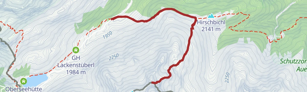
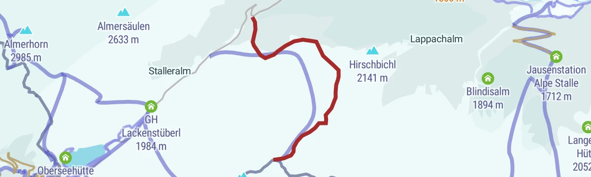
Moderate ski tour from the Staller Sattel road near the Lackenstüberl — a compact 740 m climb to a 2,726 m summit on the Italian border.
- 3.8 km
- Distance
- 740 m
- Ascent
- 740 m
- Descent
- 2 h 24 min
- Duration
- 12
- Check-ins
Skitour Vom Gr. Leppleskofel (2.812m) ins Leppetal
Lift-linked touring round in the St. Jakob ski area: from the Leppleskofelbahn top station to the 2,812 m summit, then a long descent into the untracked Leppetal.
- 6.2 km
- Distance
- 1 409 m
- Ascent
- 1 409 m
- Descent
- 4 h 26 min
- Duration
- 13
- Check-ins
Trojer Alm Nr. 151
A short climb up the side valley from Berggasthaus Trojen to the snack station at 1,810 m, past the Moos hamlets on the way.
- 4.7 km
- Distance
- 431 m
- Ascent
- 1 h 1 min
- Duration
- 8
- Check-ins
Klammljoch - Defereggental Nr. 102
A long forest-road climb to the pass at 2,288 m at the head of the valley, past the Oberhausalm and the Frattentümpfel falls.
- 22.0 km
- Distance
- 1 079 m
- Ascent
- 3 h 1 min
- Duration
- 25
- Check-ins
Bike & Hike Neue Reichenberger Hütte 2.586m
A long climb up the Trojer valley past the two Trojeralm dairies to the hut at 2,586 m, the base for the walk beyond.
- 21.4 km
- Distance
- 1 238 m
- Ascent
- 3 h 17 min
- Duration
- 15
- Check-ins
Natur- und Kulturlehrweg "Oberhauser Zirbenwald"
Short interpretive loop through the Oberhauser Zirbenwald near the Alpengasthaus Oberhaus — one of the largest continuous stone-pine forests in the Alps.
- 1.4 km
- Distance
- 33 m
- Ascent
- 24 min
- Duration
- 9
- Check-ins
Wanderung zur Trojeralm 1.810m
Half-day walk from St. Jakob into the Trojer valley, past the moor patches of Schmieds Moos and Plattlers Moos to a pasture hut at 1,810 m.
- 10.6 km
- Distance
- 495 m
- Ascent
- 3 h 42 min
- Duration
- 12
- Check-ins
Wanderung zur Jagdhausalm 2.009m
Long but gentle valley walk from Oberhaus to a huddle of stone huts at 2,009 m nicknamed Little Tibet — among the oldest alpine pastures in Austria.
- 16.6 km
- Distance
- 513 m
- Ascent
- 5 h 10 min
- Duration
- 22
- Check-ins
Skitour Rote Wand 2.818m
A medium ski tour above St. Jakob in Defereggen, setting off near the Gasthaus Lackenstüberl and climbing steadily to the summit.
- 6.0 km
- Distance
- 820 m
- Ascent
- 820 m
- Descent
- 2 h 53 min
- Duration
- 10
- Check-ins
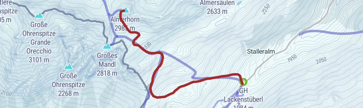
Skitour Almerhorn 2.985m
Direct ski line from the Staller Sattel road to a 2,985 m summit — it gains 1,000 m in only 3.6 km, so expect sustained steepness.
- 3.5 km
- Distance
- 1 005 m
- Ascent
- 1 005 m
- Descent
- 3 h 3 min
- Duration
- 11
- Check-ins
Brugger Alm Nr. 134
A short, steep forest-road climb from the Brunnalmbahn base station at St. Jakob up to the dairy at 1,818 m, 400 m in under 4 km.
- 3.9 km
- Distance
- 403 m
- Ascent
- 56 min
- Duration
- 4
- Check-ins
Mooseralm Nr. 161
A steep forest-road climb up the Mooserberg above St. Jakob, nearly 1,000 m to the alm at 2,350 m beside the lift station.
- 9.1 km
- Distance
- 992 m
- Ascent
- 2 h 17 min
- Duration
- 17
- Check-ins
Bike & Hike Langschneid 2.684m
The riding stage of a bike-and-hike day in the Defereggental, up to the Ragötzlalm and the saddle at 2,492 m below the summit.
- 16.2 km
- Distance
- 1 308 m
- Ascent
- 3 h 11 min
- Duration
- 8
- Check-ins
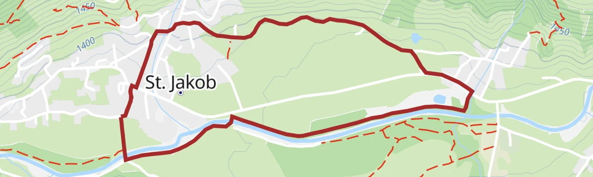
Wiesenwegrunde
Flat meadow loop around St. Jakob in Defereggen, starting near the national park information office, on level paths through the Schwarzach valley fields.
- 3.4 km
- Distance
- 45 m
- Ascent
- 55 min
- Duration
- 4
- Check-ins
Themenweg "Alpenblumenweg Oberseite" - kurzer Rundweg
Shorter loop of the alpine flower trail on the Oberseite above St. Jakob, climbing past the Jägerstube to the Seespitzhütte and the Frelitzalm's flower-rich meadows.
- 6.4 km
- Distance
- 680 m
- Ascent
- 4 h 8 min
- Duration
- 3
- Check-ins
Wanderung zur Neuen Reichenberger Hütte 2.586m vom Defereggental
The most direct route to the 2,586 m hut at the Bödensee: from the Trojertal car park above St. Jakob, climbing past the Trojer alms into the Lasörling group.
- 15.4 km
- Distance
- 956 m
- Ascent
- 6 h 34 min
- Duration
- 9
- Check-ins
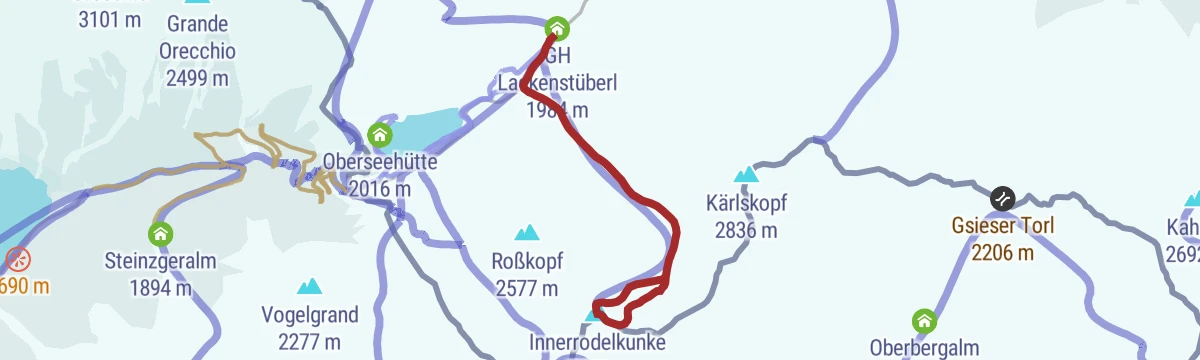
Skitour Innerrodelkunke 2.730m
Manageable ski tour from the Staller Sattel road, with around 700 m of skinning to a 2,730 m top above the inner Defereggental.
- 3.6 km
- Distance
- 716 m
- Ascent
- 716 m
- Descent
- 2 h 19 min
- Duration
- 5
- Check-ins
Skitour Hochkreuzspitze 2.739m
Ski tour from Maria Hilf near St. Jakob past the Alpe Stalle to a 2,739 m summit on the crest toward the Villgraten valley — a sustained 1,350 m climb.
- 8.0 km
- Distance
- 1 356 m
- Ascent
- 1 356 m
- Descent
- 4 h 31 min
- Duration
- 6
- Check-ins
Hintere Alpe Stalle Nr. 110
A short forest-road climb above St. Jakob in Defereggen to a snack stop at 1,712 m, almost 700 m of ascent in just over 6 km.
- 6.4 km
- Distance
- 668 m
- Ascent
- 1 h 33 min
- Duration
- 1
- Check-ins
Gasser Kofel/Seespitzhütte Nr. 137
A hard forest-road climb from the Defereggental to the huts at about 2,320 m, passing the Jägerstube and the Frelitzalm.
- 8.2 km
- Distance
- 934 m
- Ascent
- 2 h 8 min
- Duration
- 7
- Check-ins
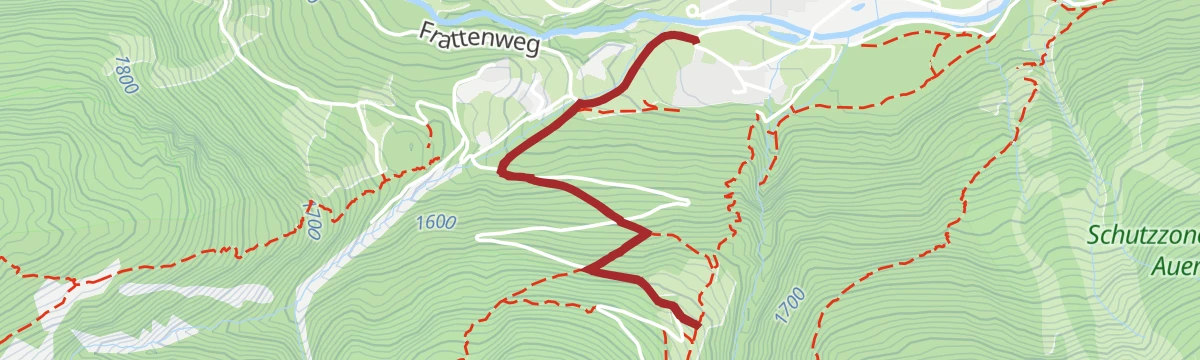
Wanderung zur Alpe Stalle 1.714m
Short family walk from the hamlet of Maria Hilf up to a jausen-station alm at 1,714 m in the woods above St. Jakob in Defereggen.
- 3.5 km
- Distance
- 288 m
- Ascent
- 1 h 51 min
- Duration
- 1
- Check-ins
Wanderung zum Brunnalmstüberl 2.054m
From the St. Jakob ski centre the trail climbs about 650 m past the Sportalm Kuhstall to a small hut at 2,054 m on the Brunnalm slopes.
- 4.8 km
- Distance
- 659 m
- Ascent
- 3 h 51 min
- Duration
- 3
- Check-ins
Oberseitsee - Seespitze 3.021 m
From the Trogach car park above St. Jakob the route climbs past the Seespitzhütte and the Oberseitsee tarn to a 3,021 m summit — a big Defereggen day out.
- 14.4 km
- Distance
- 1 331 m
- Ascent
- 8 h 19 min
- Duration
- 8
- Check-ins
Skitour Seespitze 3.021m
Winter ascent of a 3,021 m Defereggen landmark, skinning up from the Jägerstube — 1,300 m of climbing into increasingly alpine terrain.
- 5.2 km
- Distance
- 1 320 m
- Ascent
- 1 320 m
- Descent
- 4 h 5 min
- Duration
- 6
- Check-ins
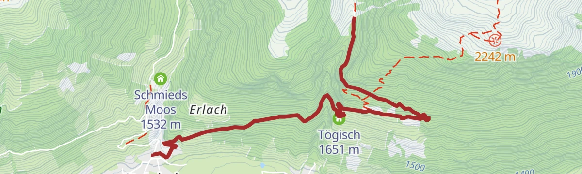
Tögischer Bachl Nr. 135
A short, steep forest-road climb out of the Defereggental to the farms at Tögisch, 470 m of ascent in under 5 km.
- 4.3 km
- Distance
- 471 m
- Ascent
- 1 h 5 min
- Duration
Wanderung zur Aussichtsplattform Wasserfall "Maria Hilf"
Brief climb from the hamlet of Maria Hilf to a viewing platform beside the waterfall — a quick outing with plenty of spray after rain.
- 1.4 km
- Distance
- 137 m
- Ascent
- 51 min
- Duration
Wanderung zur Brugger Alm 1.818m
Comfortable climb from the St. Jakob ski centre past the Sportalm Kuhstall to the Bruggeralm at 1,818 m, with open views over the Defereggental pastures.
- 7.0 km
- Distance
- 420 m
- Ascent
- 2 h 55 min
- Duration
- 2
- Check-ins
Hochkreuz 2.739m
Long crest day south of St. Jakob: past the Alpe Stalle and onto the ridge toward Italy, linking two summits above 2,700 m on one 17 km round.
- 17.5 km
- Distance
- 1 344 m
- Ascent
- 8 h 45 min
- Duration
- 6
- Check-ins
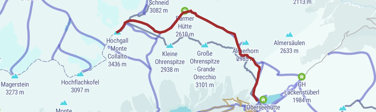
Skitour Hochgall 3.436m
A demanding ski tour from the Barmer Hütte over the Jägerscharte and up the Patscherkees glacier to a summit of well over three thousand metres.
- 7.3 km
- Distance
- 1 647 m
- Ascent
- 1 647 m
- Descent
- 5 h 11 min
- Duration
- 4
- Check-ins
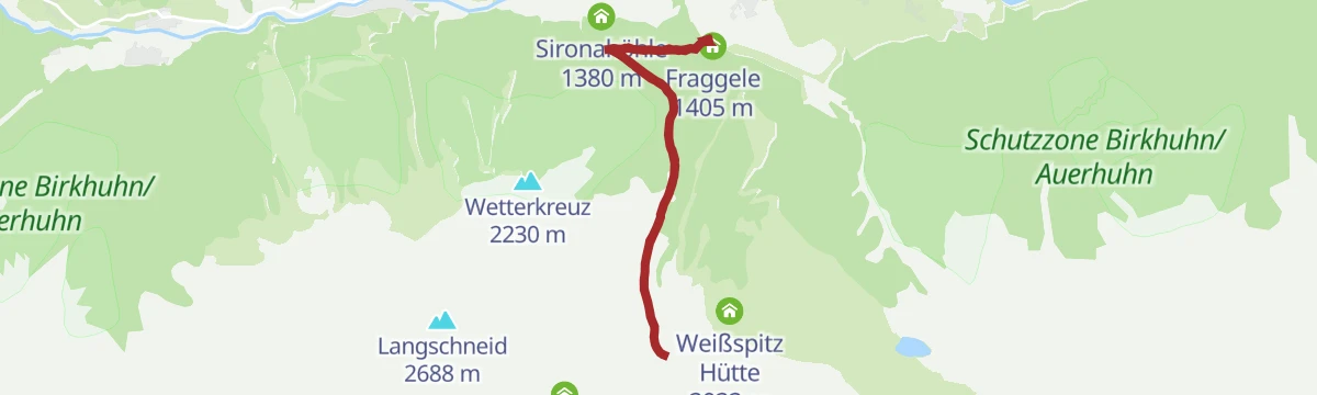
Wasserlehrweg St. Jakob i. D. (kleine Runde)
Level mini-loop on St. Jakob's water-themed trail, with stations on springs and streams and a look at the little Sironahöhle cave.
- 1.9 km
- Distance
- 7 m
- Ascent
- 28 min
- Duration
Wanderung zur Barmer Hütte 2.610m
Patschertal approach from Erlsbach to the Barmer Hütte at 2,610 m, tucked beneath the glaciated Rieserferner peaks on the Italian border.
- 12.8 km
- Distance
- 897 m
- Ascent
- 5 h 58 min
- Duration
- 1
- Check-ins
Themenweg "Alpenblumenweg Oberseite"
Full circuit of the alpine flower trail high above St. Jakob — a long traverse of bloom-rich mountainsides linking the Jägerstube, Seespitzhütte and Oberseite Alm.
- 14.0 km
- Distance
- 949 m
- Ascent
- 6 h 22 min
- Duration
- 5
- Check-ins
Skitour Langschneid 2.687m
Ski tour above the Defereggental climbing past the Ragötzlalm to a 2,687 m ridge summit — around 1,250 m of ascent with open upper slopes.
- 5.6 km
- Distance
- 1 252 m
- Ascent
- 1 252 m
- Descent
- 3 h 57 min
- Duration
- 4
- Check-ins
Wanderung zur Blindisalm 1.896m
Short but steep: around 440 m of climbing in two kilometres from Maria Hilf up to a pasture hut at 1,896 m — the direct way to a snack stop.
- 4.7 km
- Distance
- 443 m
- Ascent
- 2 h 45 min
- Duration
- 1
- Check-ins
Deferegger Pfannhorn 2.820m
From Grünbichl on the Staller Sattel road, a long pasture-and-ridge route to the 2,820 m summit dividing the Defereggen and Villgraten valleys.
- 9.9 km
- Distance
- 1 009 m
- Ascent
- 6 h 11 min
- Duration
- 3
- Check-ins
Skitour Deferegger Pfannhorn 2.820m
Steep, direct ski route to a 2,820 m summit on the crest south of the Defereggental — nearly 1,000 m of climbing in under 4 km.
- 3.9 km
- Distance
- 993 m
- Ascent
- 993 m
- Descent
- 3 h 4 min
- Duration
- 3
- Check-ins
Wassererlebnisweg St. Jakob i. D.
Nearly level water-discovery route along the Schwarzach through St. Jakob, stringing together springs, streams and the Sironahöhle over an easy morning.
- 8.7 km
- Distance
- 60 m
- Ascent
- 2 h 11 min
- Duration
Skitour Gasser Horn 2.612m
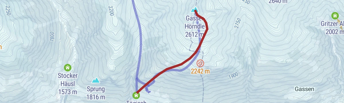
Very direct ski tour from Tögisch above St. Jakob — more than 900 m of ascent in barely 2.5 km to a 2,612 m summit, steep almost throughout.
- 2.4 km
- Distance
- 932 m
- Ascent
- 932 m
- Descent
- 2 h 43 min
- Duration
- 1
- Check-ins
Wetterkreuz 2.229m
Steady 800 m climb from St. Jakob to a weather cross at 2,229 m — a mid-height viewpoint taking in the whole sweep of the Defereggental.
- 6.0 km
- Distance
- 801 m
- Ascent
- 4 h 42 min
- Duration
Skitour Kahorn 2.692m
From Maria Hilf the skin track passes the Alpe Stalle and climbs open slopes to a 2,692 m summit high on the ridge south of the Defereggental.
- 6.2 km
- Distance
- 1 223 m
- Ascent
- 1 223 m
- Descent
- 3 h 57 min
- Duration
- 1
- Check-ins
Skitour Prägratner Törl 2.846m
Ski tour from Tögisch to a 2,846 m saddle connecting the Defereggental with Prägraten — a high-notch objective with almost 1,200 m of skinning.
- 5.6 km
- Distance
- 1 181 m
- Ascent
- 1 181 m
- Descent
- 3 h 46 min
- Duration
- 1
- Check-ins
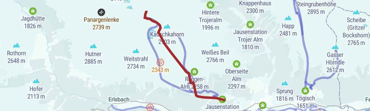
Skitour Weißes Beil 2.766m / Kauschkahorn 2.902m
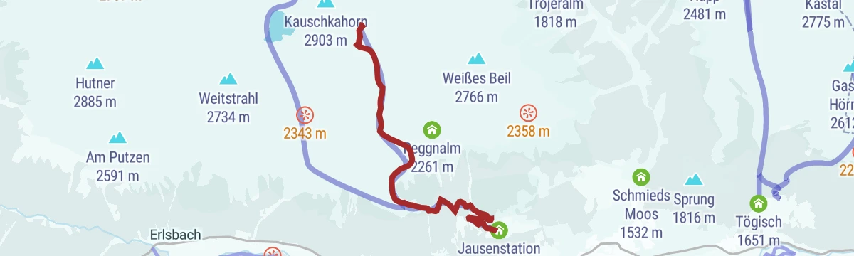
Two-summit ski option above the Jägerstube: via the Reggen-Alm to a 2,766 m top, with the 2,902 m Kauschkahorn as the harder continuation.
- 4.9 km
- Distance
- 1 150 m
- Ascent
- 1 150 m
- Descent
- 3 h 36 min
- Duration
- 1
- Check-ins
No routes of this kind in St. Jakob in Defereggen yet.
The region's own picks

Featured route
Rundwanderung am Staller Sattel
Gentle loop around the Obersee at the Staller Sattel pass on the Italian border, linking a string of small huts and jausen stations above the Defereggental.
Planning a trip to St. Jakob in Defereggen?
Everything else Tyrol has, in one place


Take St. Jakob in Defereggen with you into the mountains
Every route on this page with 3D terrain, GPX navigation and offline maps — including the valleys with no signal.
Data sources
- Official website: osttirol.com ↗
- Routes and highlights: Osttirol Tourismus
- Published as open data by the tourist boards named above.
- Region summary generated from the board's own material.
