
Curated by 360alpenland
Spital am Pyhrn
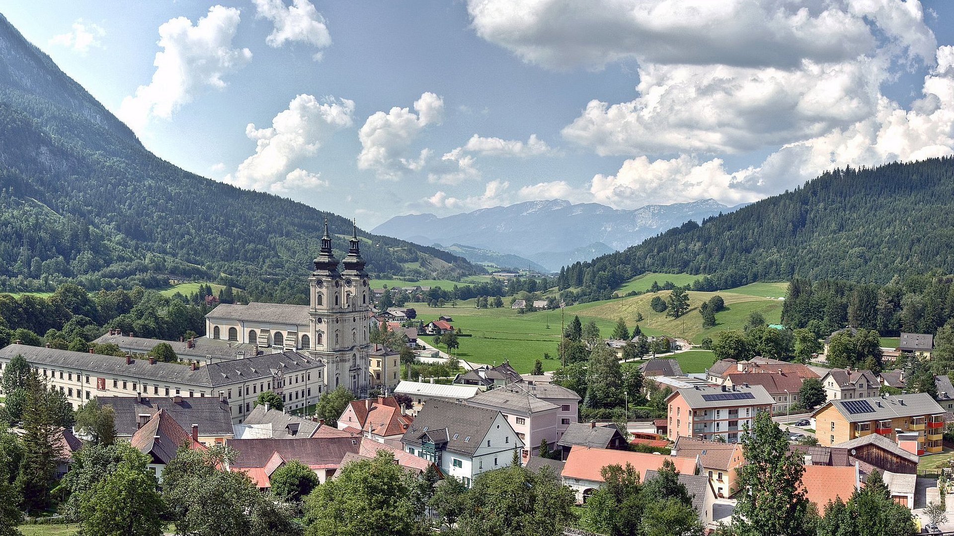
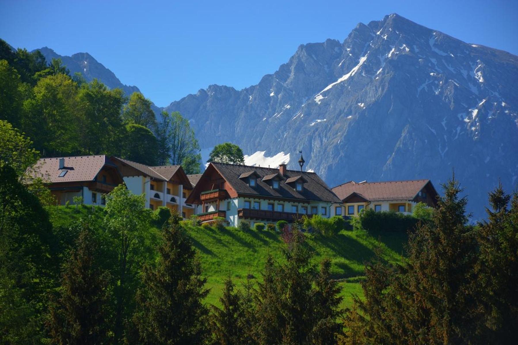
A village below the Pyhrn pass in the Upper Austrian limestone Alps, with the Wurzeralm terraces and the Warscheneck massif above and the Dr.-Vogelgesang-Klamm cut into the rock behind its collegiate church.
- 8Highlights
- 91Routes
Highlights
7 from neighbouring places
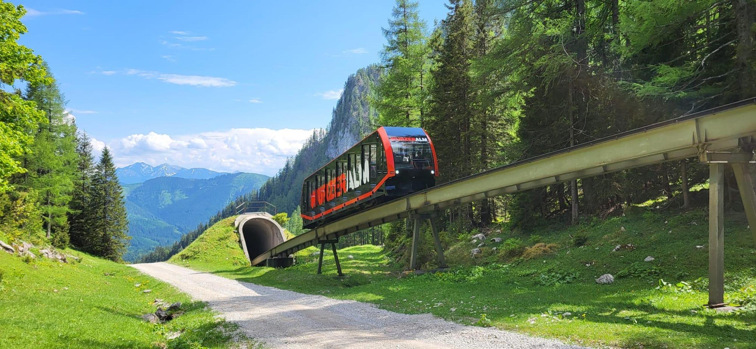
Bergrestaurant Wurzeralm
A mountain restaurant at the top station of the Wurzeralm funicular, with a large sun terrace.
ÖAV-Berggasthaus Linzerhaus
The Linzerhaus of the Austrian Alpine Club at 1,400 m on the Wurzeralm, a base for walks in the Warscheneck group.
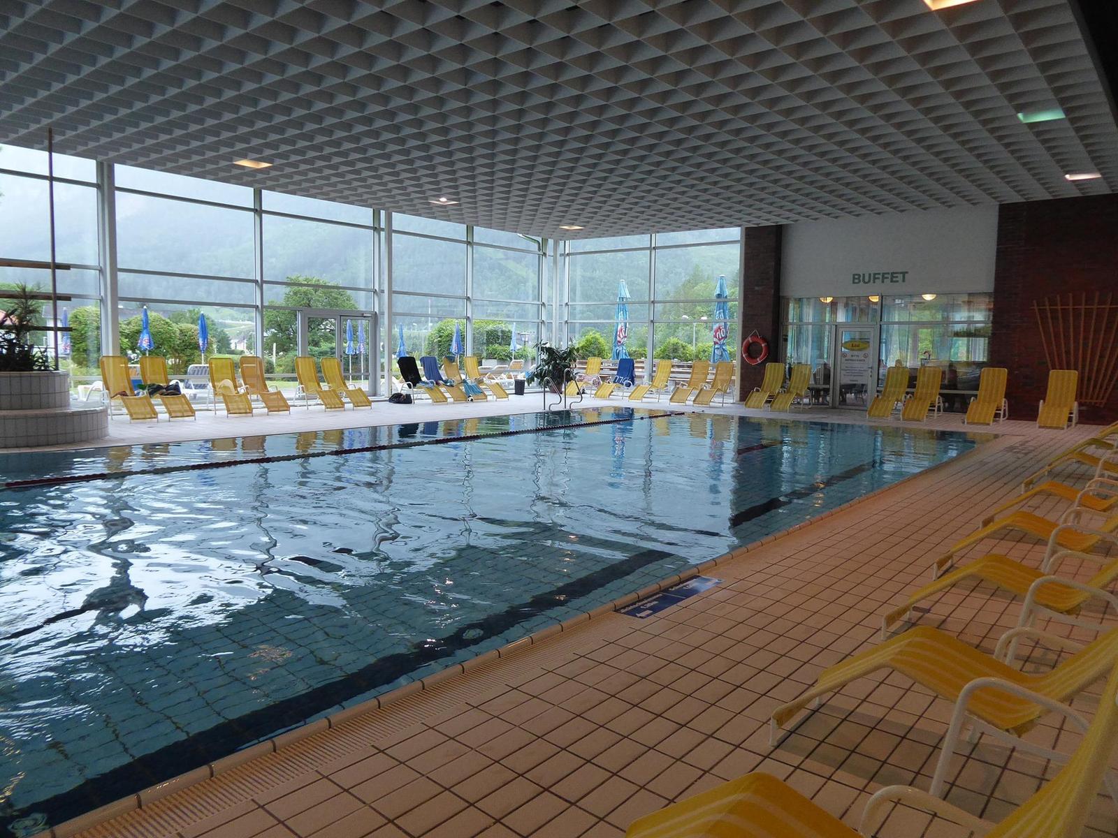
Panorama-Hallenbad in Spital am Pyhrn
An indoor pool in Spital am Pyhrn with a view of the surrounding mountains, and a lawn for the summer.
Kaffeekannen Museum
A private museum in Spital am Pyhrn holding some 2,000 coffee pots collected from around the world.
Naturrodelbahn Zottensberg
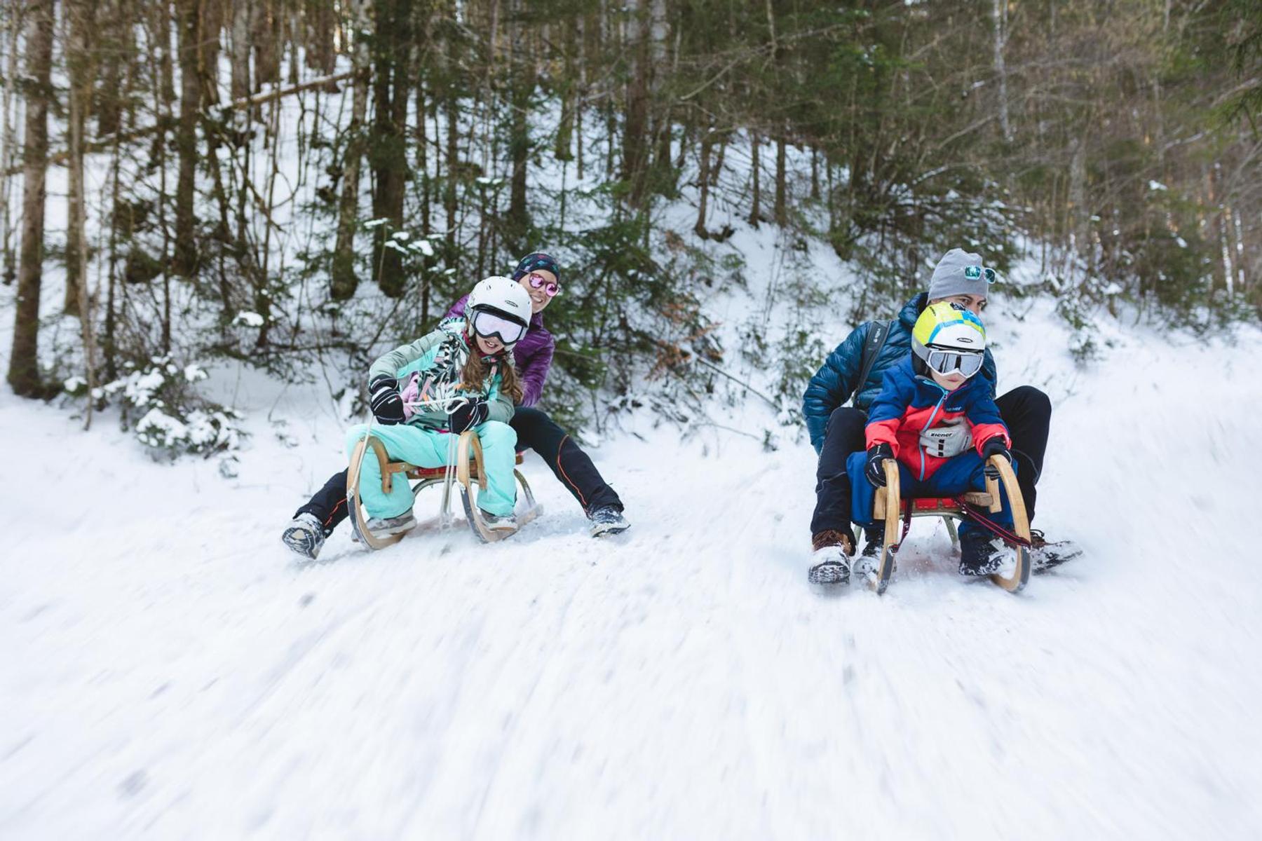
A natural toboggan run at Zottensberg above Spital am Pyhrn.
Berggasthof Zottensberg
A mountain inn at Zottensberg above Spital am Pyhrn, serving home cooking and à la carte dishes.
Öffentlicher Spielplatz Spital am Pyhrn
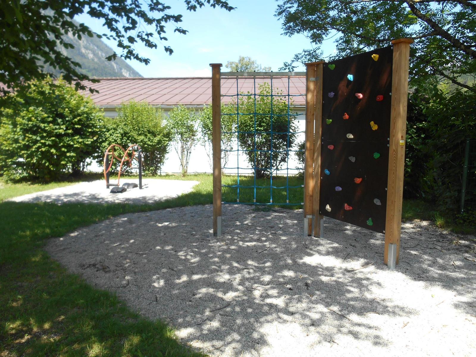
A public playground by the primary school in Spital am Pyhrn.
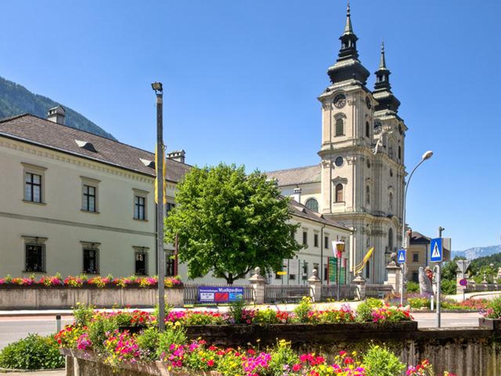
Stiftskirche "Dom am Pyhrn" Spital am Pyhrn
The collegiate church of Spital am Pyhrn, known as the Dom am Pyhrn, at the centre of the village.
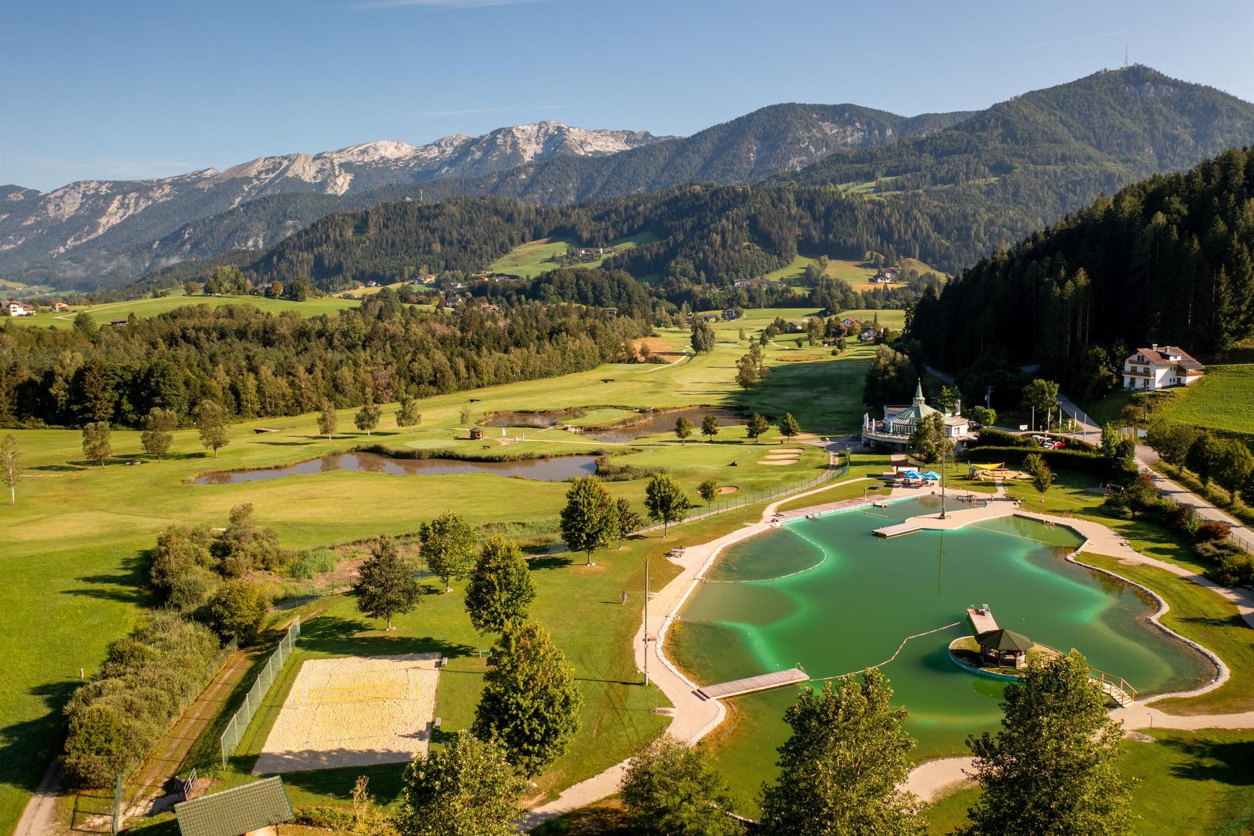
Badesee Edlbach
5.2 km away, in Edlbach
A bathing lake at Edlbach beside the golf course, inside the Edlbacher Moor nature reserve.
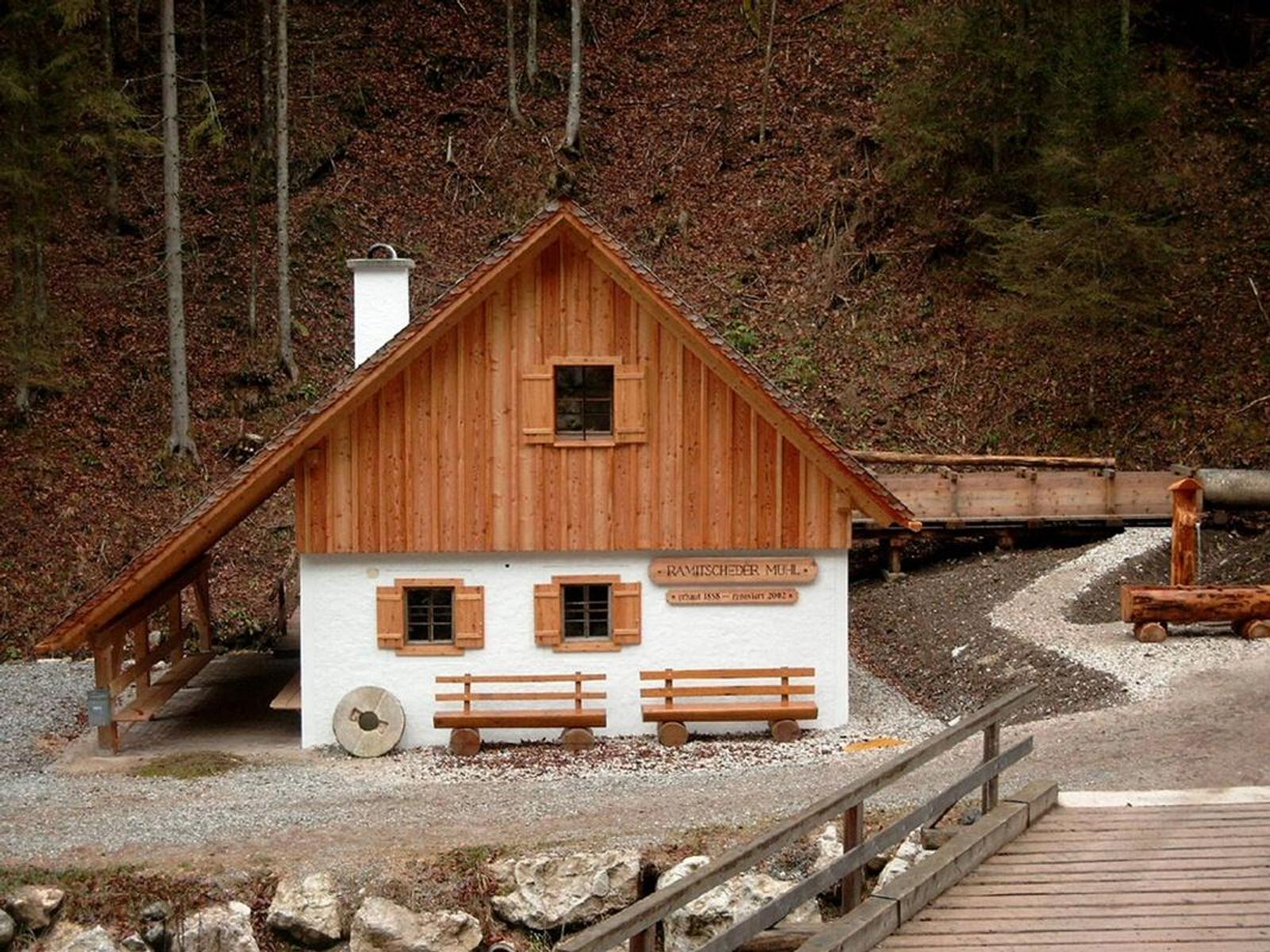
Ramitscheder Mühle
5.7 km away, in Edlbach
A mill at Edlbach on the road from Windischgarsten towards Rosenau am Hengstpass.
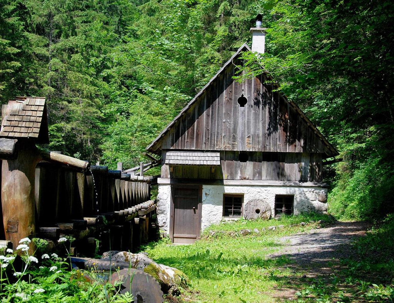
Stummermühle
6 km away, in Roßleithen
A restored mill at Roßleithen above the scythe works, on the path to the Pießling spring.
Öffentlicher Spielplatz Roßleithen
6.2 km away, in Roßleithen
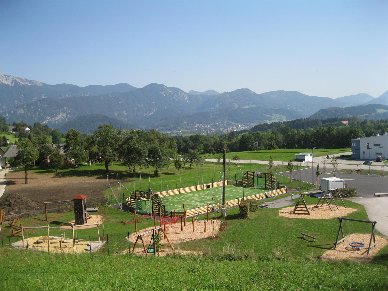
An adventure playground with a ball court at the primary school in Roßleithen.
Öffentlicher Spielplatz Windischgarsten
6.5 km away, in Windischgarsten
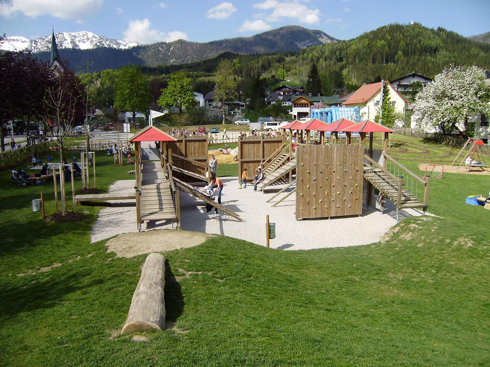
A large playground in Windischgarsten laid out as a knights' fortress.
Freibad Windischgarsten
6.6 km away, in Windischgarsten
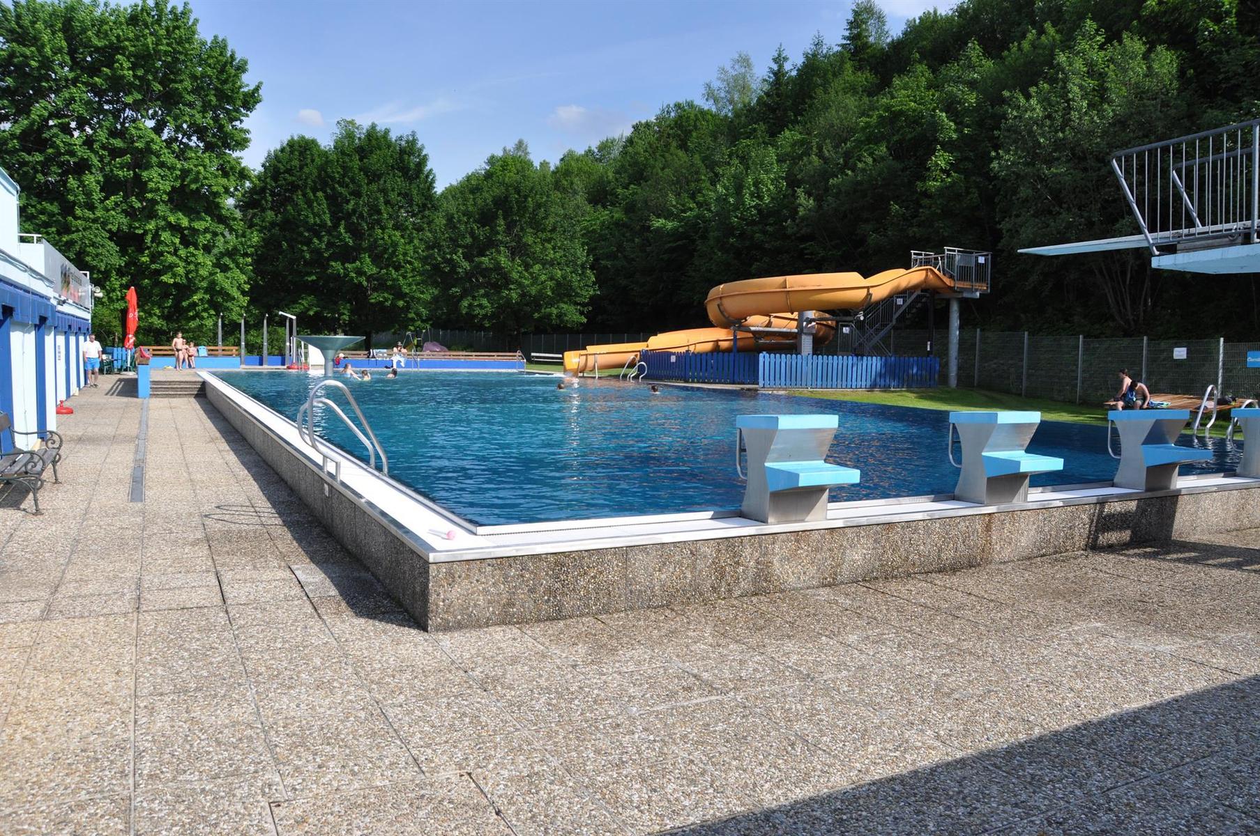
The open-air pool in Windischgarsten, with a children's slide into the shallow pool and larger water for older swimmers.
Skaterpark Windischgarsten
7 km away, in Windischgarsten
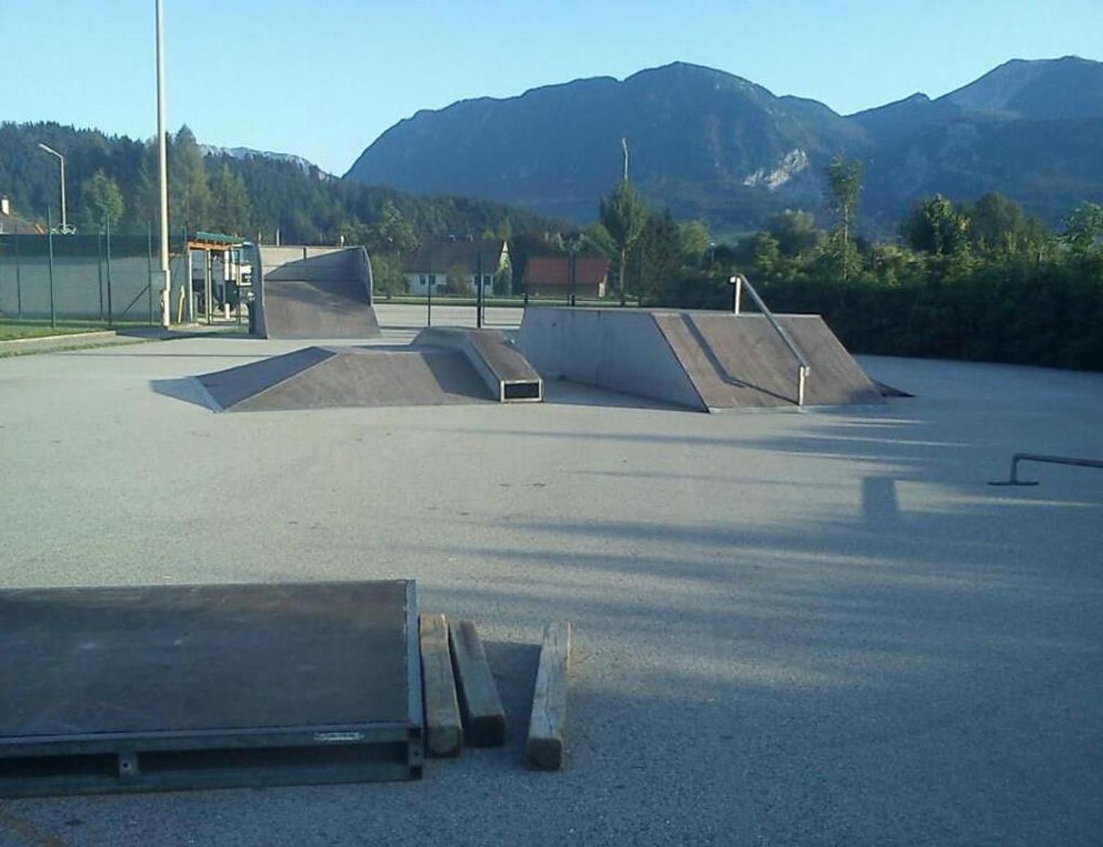
A skate park at Pichl on the northern edge of Windischgarsten.
 Mountain hut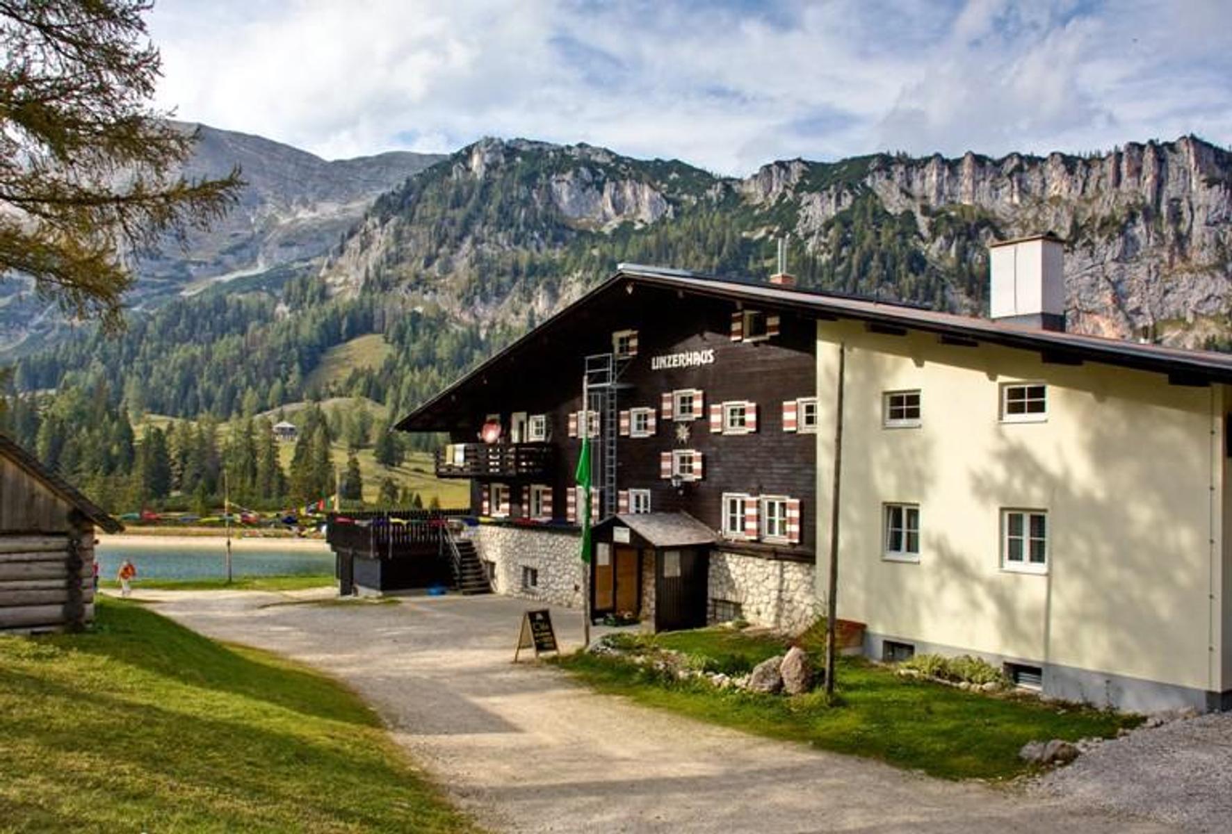
 Viewpoint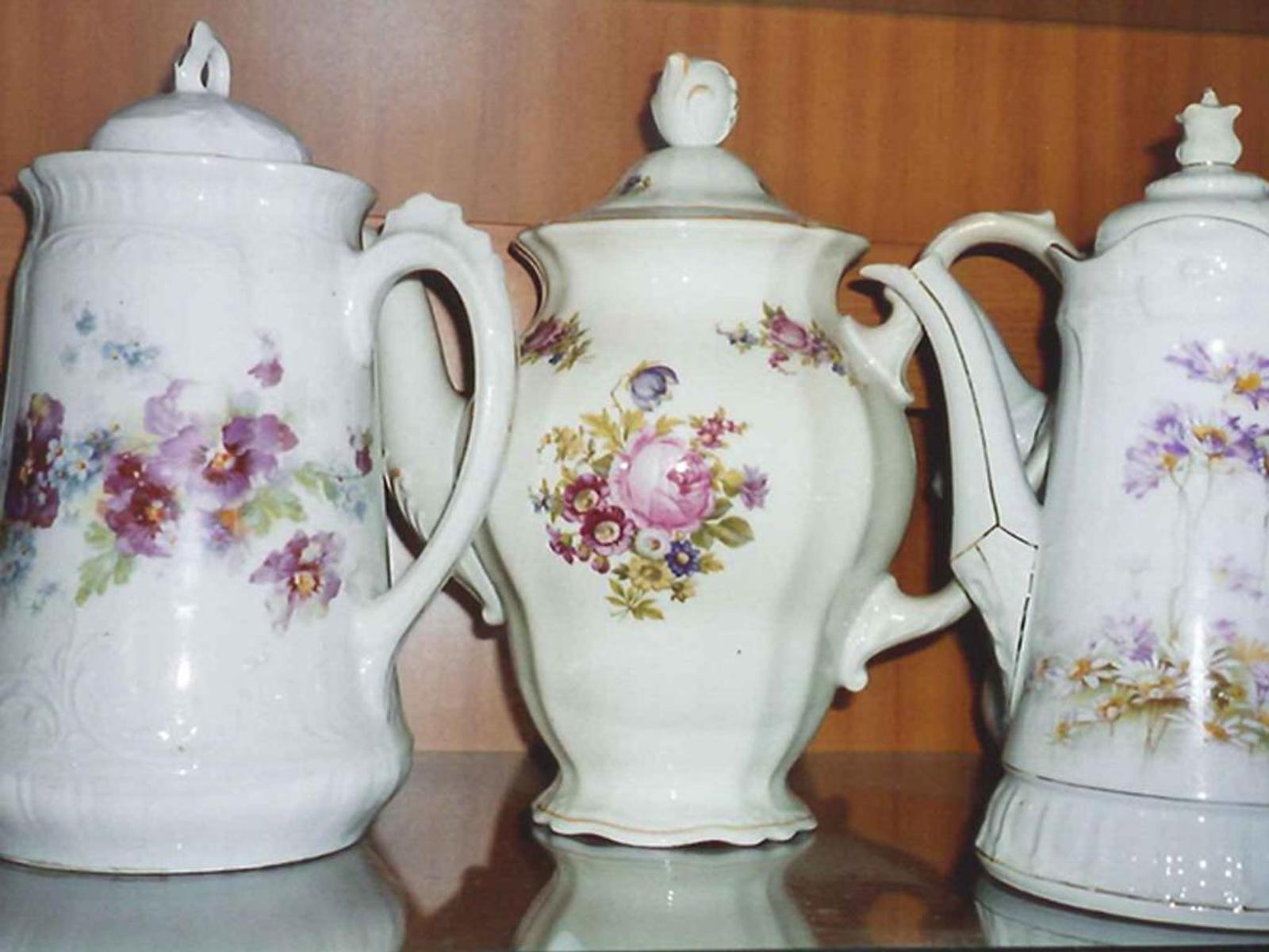
Nothing of this kind in Spital am Pyhrn.
Routes
50 routes, an even mix of activities · see the rest on 360alpenland.com ↗
Warscheneck Südostgrat (Klettersteig)
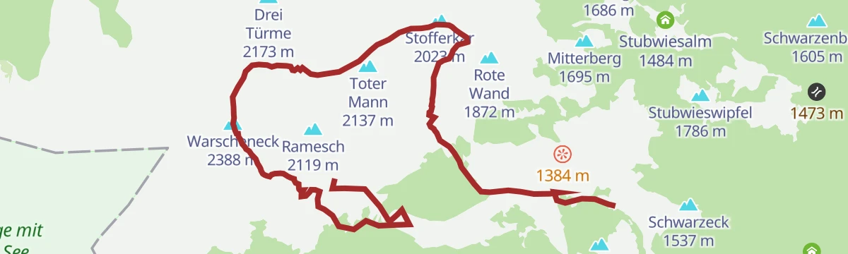
A via ferrata round on the south-east ridge of the Warscheneck, with the descent over the Toter Mann and past the Brunnsteinersee.
- 10.9 km
- Distance
- 815 m
- Ascent
- 7 h 56 min
- Duration
Wildfrauenklettersteig auf den Bosruck (B/C)
A via ferrata on the rock of the Bosruck above Spital am Pyhrn, at a moderate grade for anyone already used to cable-protected ground.
- 3.7 km
- Distance
- 580 m
- Ascent
- 4 h 8 min
- Duration
Dom am Pyhrn zur Dansbacher Kapelle
An easy walk from the baroque collegiate church in Spital am Pyhrn out through Oberweng to the Dansbacher Kapelle.
- 4.7 km
- Distance
- 213 m
- Ascent
- 1 h 28 min
- Duration
3 Hütten Wanderung Spital am Pyhrn
A three-hut round through the Dr. Vogelgesang-Klamm, linking the Bosruckhütte, the Rohrauerhaus and the Hofalm before returning to the start.
- 10.4 km
- Distance
- 785 m
- Ascent
- 5 h 5 min
- Duration
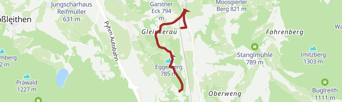
Aurunde (R304)
A very flat loop through the Gleinkerau from Windischgarsten to Spital am Pyhrn and back, a standard training round for locals.
- 17.8 km
- Distance
- 183 m
- Ascent
- 4 h 36 min
- Duration
Skitour Gr. Pyhrgasgrat (Tourengebiet Haller Mauern)
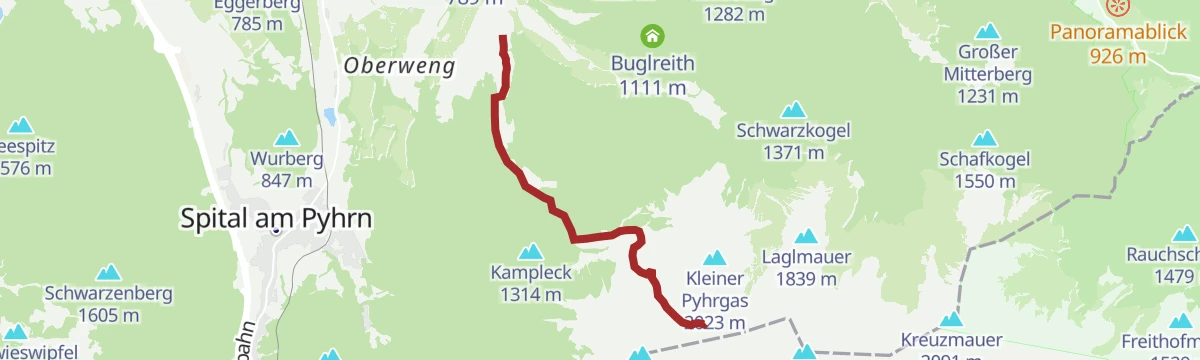
A late-season ski tour through the Holzerkar below the Pyhrgas ridge, usually passable into May; the direct line suits alpinists only.
- 5.4 km
- Distance
- 50 m
- Ascent
- 50 m
- Descent
- 1 h 23 min
- Duration
Skitour
A short ski tour on the Wurzeralm above Spital am Pyhrn, a popular objective for skinning away from the groomed pistes.
- 3.1 km
- Distance
- 603 m
- Ascent
- 603 m
- Descent
- 1 h 57 min
- Duration
Skitour Angerkogel (Tourengebiet Hintersteineralm)
A long ski tour to the Angerkogel from the Hintersteineralm side, with more than a thousand metres of skinning above Spital am Pyhrn.
- 13.7 km
- Distance
- 1 136 m
- Ascent
- 1 136 m
- Descent
- 4 h 50 min
- Duration
Singletrail Wurzeralm
A red-graded descent on singletrack from above 1,400 m down to the valley station of the funicular at Spital am Pyhrn.
- 3.9 km
- Distance
- 0 m
- Ascent
- 37 min
- Duration
Spitaler Panorama Mountainbiketour MTB8
A climb out of Spital am Pyhrn onto the slopes above the village, where the route opens out to long views down the valley.
- 9.0 km
- Distance
- 397 m
- Ascent
- 1 h 10 min
- Duration
Pantl Mountainbike Runde MTB10
A hill circuit from Spital am Pyhrn out to Oberweng, with a link on to the Oberwenger Panoramarunde for anyone wanting more.
- 17.3 km
- Distance
- 784 m
- Ascent
- 2 h 17 min
- Duration
Bike & Hike Gowilalm
A short, easy approach ride at Spital am Pyhrn, going as far as the point where the footpath to the alm sets off.
- 5.0 km
- Distance
- 220 m
- Ascent
- 39 min
- Duration
Alternative Windischgarsten
A flat valley link between Windischgarsten and Spital am Pyhrn, tying in with the Nationalpark Kalkalpen route R31.
- 7.0 km
- Distance
- 75 m
- Ascent
- 42 min
- Duration
3 Pässe Rennradtour (RR1)
A hundred-kilometre road tour over the Pyhrnpaß, the Buchauer Sattel and the Hengstpass, looping through Liezen and St. Gallen.
- 98.6 km
- Distance
- 1 895 m
- Ascent
- 10 h 32 min
- Duration
Dr. Vogelgesang-Klamm
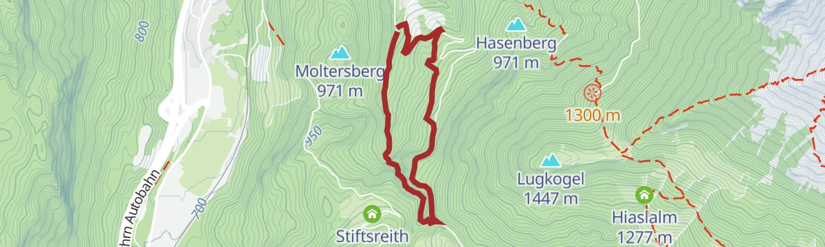
A short but steep walk through the longest gorge in Upper Austria, a wild rock cleft on the edge of Spital am Pyhrn.
- 3.8 km
- Distance
- 261 m
- Ascent
- 1 h 45 min
- Duration
Almenhöhenweg vom Rohrauerhaus über die Hofalm zur Gowilalm
A high pasture traverse from the Rohrauerhaus, crossing open alpine meadows by way of the Hofalm to reach the Gowilalm.
- 6.7 km
- Distance
- 506 m
- Ascent
- 3 h 11 min
- Duration
Bad Haller Steig über die Gowilalm auf den Großen Pyhrgas 2.244m
A steep ascent of the Großer Pyhrgas by way of the Gowilalm, with a few easy climbing moves; sure footing and a head for heights are needed.
- 5.8 km
- Distance
- 1 405 m
- Ascent
- 5 h 8 min
- Duration
Skitour Rote Wand (Tourengebiet Wurzeralm)
A short ski tour on the Wurzeralm side towards the Rote Wand, an easy outing with only a couple of hundred metres of skinning.
- 3.6 km
- Distance
- 200 m
- Ascent
- 200 m
- Descent
- 1 h 8 min
- Duration
Skitour Arlingsattel (Tourengebiet Haller Mauern)
A short ski tour up to the Arlingsattel in the Haller Mauern, on the boundary between Upper Austria and Styria.
- 1.9 km
- Distance
- 387 m
- Ascent
- 387 m
- Descent
- 1 h 15 min
- Duration
Skitour Eisernes Bergl (Tourengebiet Hintersteineralm)
A ski tour from the Hintersteineralm through quiet mountain forest, the Eisernes Bergl coming into view once you reach the Burgstall.
- 7.9 km
- Distance
- 1 000 m
- Ascent
- 1 000 m
- Descent
- 3 h 34 min
- Duration
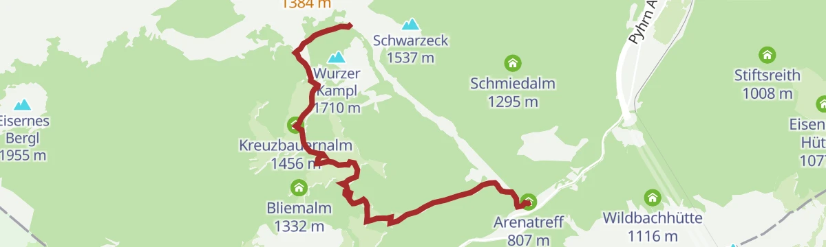
Rohrauerhaus Mountainbiketour MTB9
A short but demanding climb on part of the Spitaler Panoramatour above Spital am Pyhrn, with one red-graded singletrack stretch.
- 17.9 km
- Distance
- 851 m
- Ascent
- 2 h 24 min
- Duration
Bike & Hike Gowilalm von Oberweng
An easy ride from Oberweng to the road end above Spital am Pyhrn, then a short walk up to a small alm serving regional food.
- 7.5 km
- Distance
- 220 m
- Ascent
- 52 min
- Duration
Bike & Hike Seespitz vom Gleinkersee am Michael-Kniewasser-Steig
An approach ride to the Gleinkersee, then a climb on foot up the Michael-Kniewasser-Steig to the peak directly above the lake.
- 4.5 km
- Distance
- 285 m
- Ascent
- 44 min
- Duration
Bike & Hike Großer Pyhrgas
The riding leg of a bike-and-hike day out of Admont, nearly 1,000 m of climbing in 8 km up to where the walking starts.
- 8.2 km
- Distance
- 982 m
- Ascent
- 2 h 13 min
- Duration
Dümlerhütte über Wurzeralm und Halssattel
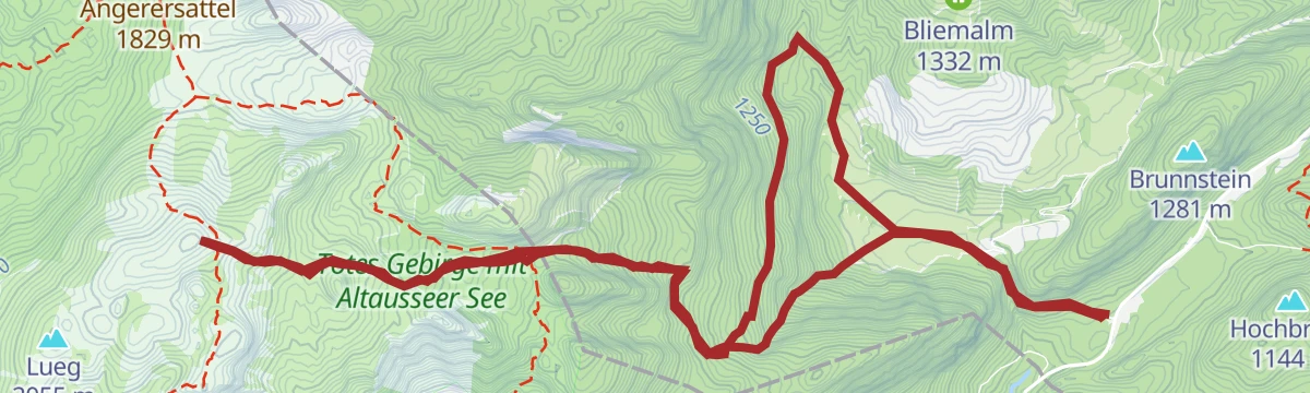
An easy walk from the Wurzeralm top station across the Teichlboden to the Halssattel and on to the Dümlerhütte in Roßleithen.
- 4.4 km
- Distance
- 312 m
- Ascent
- 1 h 57 min
- Duration
Alter Wallfahrtsweg
An old pilgrimage route from the exit of the Dr. Vogelgesang-Klamm over the Arlingsattel and down into Styria to Ardning.
- 11.0 km
- Distance
- 562 m
- Ascent
- 4 h 33 min
- Duration
Bosruck
A demanding climb to a summit cross set right on the Upper Austrian and Styrian border, on rocky ridges that call for sure footing and a head for heights.
- 5.2 km
- Distance
- 1 058 m
- Ascent
- 3 h 59 min
- Duration
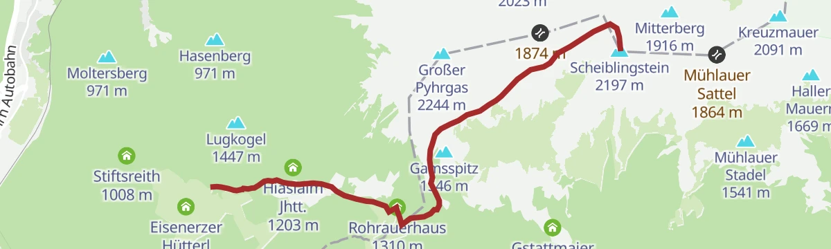
Skitour Scheiblingstein
A ski tour in the Haller Mauern, skinning up from the Bosruckhütte by way of the Rohrauerhaus towards a favourite winter summit.
- 6.3 km
- Distance
- 80 m
- Ascent
- 80 m
- Descent
- 1 h 39 min
- Duration
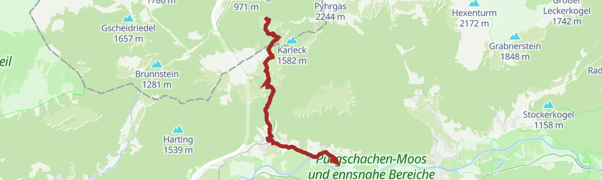
Skitour Karleck Nordhang (Tourengebiet Haller Mauern)
A short ski tour from the Bosruckhütte up the north slope of the Karleck, a sheltered line that often keeps good powder.
- 2.2 km
- Distance
- 550 m
- Ascent
- 550 m
- Descent
- 1 h 42 min
- Duration
Skitour Gr. Pyhrgas Hofalm
The safest of the ski lines onto the Großer Pyhrgas, climbing by way of the Hofalm and dropping back through the Hasenbergrinne.
- 7.0 km
- Distance
- 1 410 m
- Ascent
- 1 410 m
- Descent
- 4 h 33 min
- Duration
Nationalpark Kalkalpen Radweg R31
The Kalkalpen national park cycle route, with the limestone ranges in view for its whole length.
- 52.9 km
- Distance
- 310 m
- Ascent
- 4 h 59 min
- Duration
Eggerbauer Runde
A short, almost level loop in the running and walking park at Spital am Pyhrn, which doubles as the link towards Windischgarsten.
- 4.3 km
- Distance
- 84 m
- Ascent
- 1 h 16 min
- Duration
Dümlerhütte über Gleinkersee und Seegraben
A climb to the Dümlerhütte that begins along the shore of the Gleinkersee and then works up through the Seegraben.
- 3.6 km
- Distance
- 694 m
- Ascent
- 2 h 36 min
- Duration
Bosruckhütte
A long approach on the southeastern edge of the Pyhrn-Priel region towards the Scheiblingstein, away from the busier routes and wide open at the top.
- 13.9 km
- Distance
- 1 316 m
- Ascent
- 8 h 11 min
- Duration
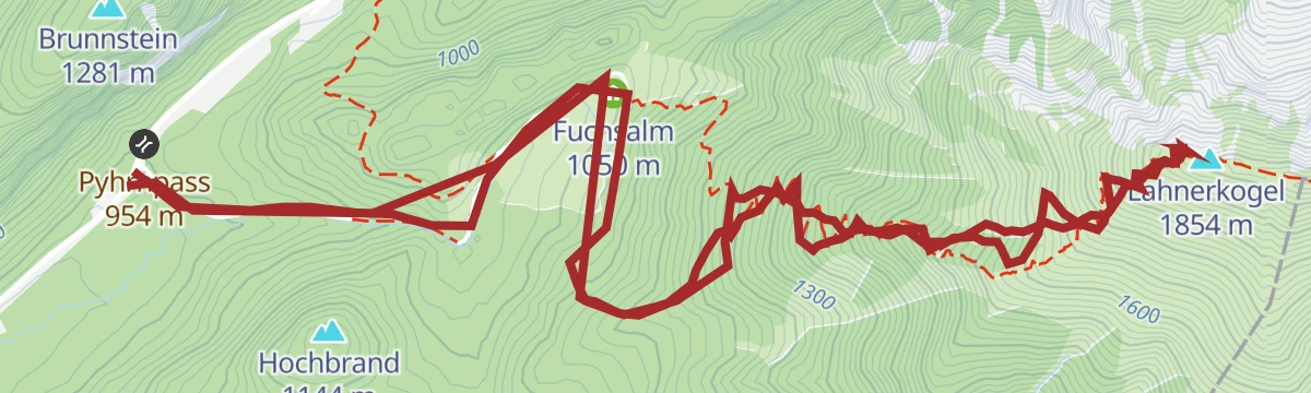
Skitour Lahnerkogel (Tourengebiet Pyhrnpass)
A well-liked ski summit at the Pyhrnpass, a foresummit of the Bosruck whose west-facing slopes often hold light snow.
- 9.3 km
- Distance
- 900 m
- Ascent
- 900 m
- Descent
- 3 h 29 min
- Duration
Skitour Rossarsch (Tourengebiet Hintersteineralm)
A scenic ski tour onto the Rossarsch from the Hintersteineralm, within reach of newcomers, though its length should not be underestimated.
- 8.6 km
- Distance
- 1 244 m
- Ascent
- 1 244 m
- Descent
- 4 h 18 min
- Duration
Oberwengerrunde (R306)
A demanding round through the Garstnertal for the well-trained, with long, steep climbs and a broad mountain panorama from the high ground.
- 20.2 km
- Distance
- 514 m
- Ascent
- 2 h 17 min
- Duration
Gammeringalmen von der Wurzeralm Bergstation zur Talstation
A descent from the funicular top station over the Gammeringsattel to the Gammeringalmen, then down the Gipsgraben to the valley terminus.
- 6.4 km
- Distance
- 176 m
- Ascent
- 2 h 47 min
- Duration
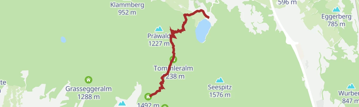
Dümlerhütte über Gleinkersee und Tommerlalm
A second approach to the Dümlerhütte from the Gleinkersee, going by the Gasthaus Tommerl and the Tommerlalm.
- 3.8 km
- Distance
- 690 m
- Ascent
- 2 h 37 min
- Duration
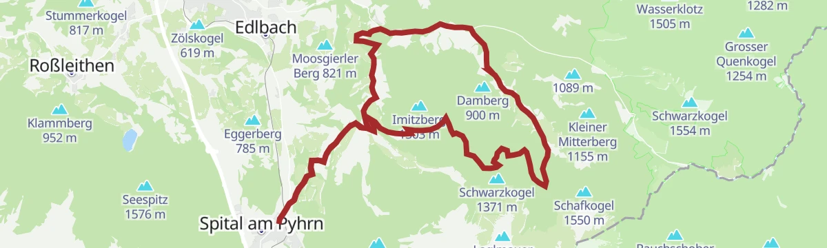
Garstnertaler Höhenrunde MTB1
A high loop out of Spital am Pyhrn by way of Oberweng, the Pramfeldner Reith, the Schwarzkogel and Rosenau before the return to the start.
- 29.4 km
- Distance
- 1 059 m
- Ascent
- 9 h 31 min
- Duration
Skitour Speikwiese (Tourengebiet Wurzeralm)
A ski tour to the Speikwiese over the Wurzeralm and the Brunnsteinersee, on ground where the snow cover is usually reliable.
- 6.8 km
- Distance
- 600 m
- Ascent
- 600 m
- Descent
- 2 h 27 min
- Duration
Skitour Rote Wand Dümlerhütte
A north-facing ski tour to the Rote Wand by way of the Dümlerhütte and the Stofferkar, where the snow tends to stay dry longer.
- 6.3 km
- Distance
- 1 230 m
- Ascent
- 1 230 m
- Descent
- 3 h 59 min
- Duration
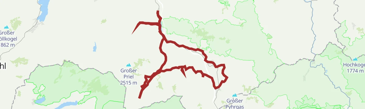
Pyhrn-Priel Panorama Radtour
A very long circuit of the Pyhrn-Priel region on quiet back roads, with enough climbing to make an electric bike welcome.
- 115.5 km
- Distance
- 850 m
- Ascent
- 11 h 3 min
- Duration
Gewässerlehrpfad
A nature trail on the theme of water, following the Pyhrnbach and the Teichlbach past the Pflegerteich to the Wurzeralm valley station.
- 5.1 km
- Distance
- 223 m
- Ascent
- 1 h 36 min
- Duration
Garstnereckrunde (R303)
A short, family-friendly round trip circling the Garstnereck, with a single longer climb that beginners and children can manage.
- 9.3 km
- Distance
- 148 m
- Ascent
- 2 h 33 min
- Duration
Großer Pyhrgas mit Hofalm
A long and demanding ascent of the Großer Pyhrgas above Spital am Pyhrn, taken by way of the Hofalm and its pastures.
- 10.5 km
- Distance
- 1 239 m
- Ascent
- 7 h 24 min
- Duration
Skitour Stubwieswipfel (Tourengebiet Wurzeralm)
A ski tour up the Stubwieswipfel above the Wurzeralm, with a long drop of a view into the valley and terrain that suits every level.
- 2.2 km
- Distance
- 600 m
- Ascent
- 600 m
- Descent
- 1 h 50 min
- Duration
Skitour Unteres Loigistal von der Wurzeralm (Tourengebiet Vorderstoder)
A classic ski traverse from the Frauenkar to the Zwischenwände, finishing with the long descent into Vorderstoder.
- 12.0 km
- Distance
- 1 333 m
- Ascent
- 1 333 m
- Descent
- 4 h 57 min
- Duration
Steyr - Spital am Pyhrn
A valley ride from Steyr along the old Steyrtalbahn alignment, past the Klaus reservoir and over a former Pyhrnbahn bridge into the Kalkalpen.
- 72.0 km
- Distance
- 1 309 m
- Ascent
- 7 h 30 min
- Duration
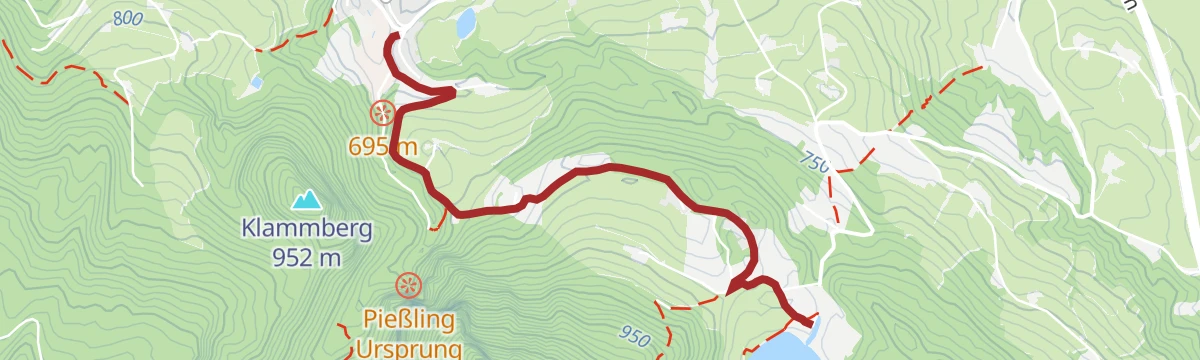
Gleinkersee nach Roßleithen
An easy, nearly flat walk from the Gleinkersee down into the centre of Roßleithen, ending at the Gasthaus Sengsschmied.
- 3.1 km
- Distance
- 37 m
- Ascent
- 56 min
- Duration


















No routes of this kind in Spital am Pyhrn yet.
Planning a trip to Spital am Pyhrn?
Everything else Upper Austria has, in one place


Take Spital am Pyhrn with you into the mountains
Every route on this page with 3D terrain, GPX navigation and offline maps — including the valleys with no signal.
Data sources
- Official website: 360alpenland.com ↗
- Routes and highlights: 360alpenland
- Published as open data by the tourist boards named above.
- Region summary generated from the board's own material.
