

















Curated by APT Madonna di Campiglio, Pinzolo, Val Rendena
Spiazzo
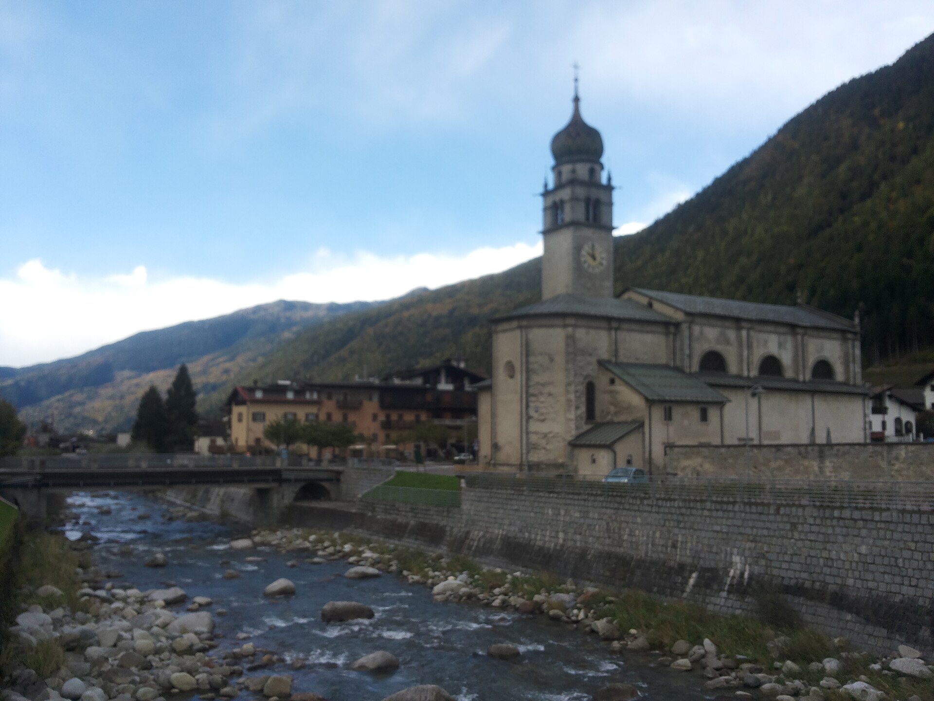
Rendena village on the Sarca, with the frescoed church of Santo Stefano and the Adamello walks beyond.
Photo: Adert · CC BY-SA 4.0 licence
- 2Highlights
- 47Routes
- Featured summit · La Sgualdrina
Highlights
All 2 from neighbouring places
Baita Valon
10 km away, in Comano Terme
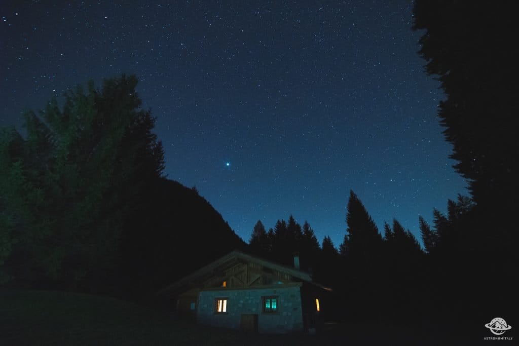
A hut on the Valon meadows above Comano, used for walks and for its dark night skies.
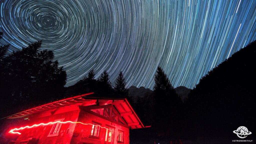
Stargazing a Baita Valon, Trentino
10 km away, in Comano Terme
Night-sky watching from the Valon meadows above Comano Terme, away from valley lights.
Nothing of this kind in Spiazzo.
Routes
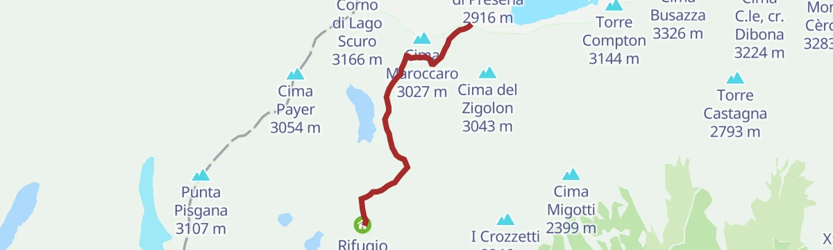
Tour from Malga Bedole to Malga Matarot Bassa in Val Genova
A walk up the Val Genova from Malga Bedole over the Ponte delle Cambiali gorge to Mandra Matarot, under the Lobbia glacier and the Matarot fall.
- 4.5 km
- Distance
- 211 m
- Ascent
- 1 h 34 min
- Duration
- 48
- Check-ins
Open route APT Madonna di Campiglio, Pinzolo, Val RendenaRifugio Mandron «Città di Trento» alpine hut
A walk to the Mandron hut by its lakes, facing the Lobbie and Mandron ice of the Adamello, past trenches, observation posts and a small war cemetery.
- 6.2 km
- Distance
- 525 m
- Ascent
- 3 h 21 min
- Duration
- 219
- Check-ins
 La Sgualdrina 3 006 m
 Passo Presena 2 990 m
 Ski Bar Presena 3000 - Panorama 3000 Glacier 2 999 m
- Rifugio Mandrone 2 442 m
- Bocchetta degli Sciatori 2 987 m
Open route APT Valli di Sole, Peio e RabbiFlower Path «Flower Path»
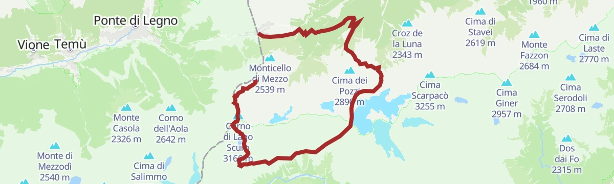
A wartime route above Vermiglio along old trenches, fixed steel cables and wire footbridges, with wide views; proper mountain equipment and fitness are needed.
- 10.1 km
- Distance
- 1 038 m
- Ascent
- 6 h 21 min
- Duration
- 373
- Check-ins
- La Sgualdrina 3 006 m
- Corno di Lago Scuro 3 166 m
- Corno di Casamadre 3 090 m
- Il Gendarme 3 044 m
- Passo Presena 2 990 m
- Ski Bar Presena 3000 - Panorama 3000 Glacier 2 999 m
- +8
Open route APT Valli di Sole, Peio e RabbiSpring ski mountaineering in Adamello
A two-day glacier ski tour on the Adamello, started from the Tonale lifts that reach nearly 3,000 metres, without great technical demands.
- 14.7 km
- Distance
- 1 192 m
- Ascent
- 1 192 m
- Descent
- 5 h 9 min
- Duration
- 287
- Check-ins
- La Sgualdrina 3 006 m
- Passo Presena 2 990 m
- Ski Bar Presena 3000 - Panorama 3000 Glacier 2 999 m
- Rifugio Mandrone 2 442 m
- Rifugio ai Caduti dell'Adamello 3 025 m
- Passo della Lobbia Alta 3 013 m
- +2
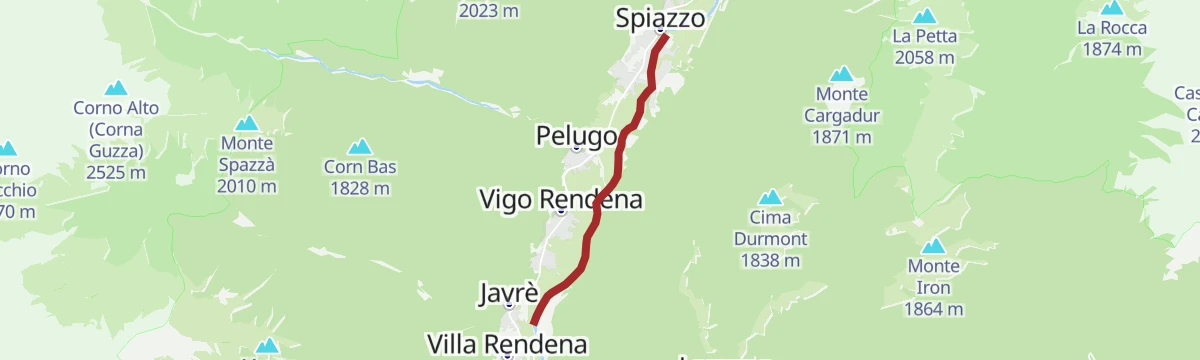
Open route VisitTrentinoCycle Tour
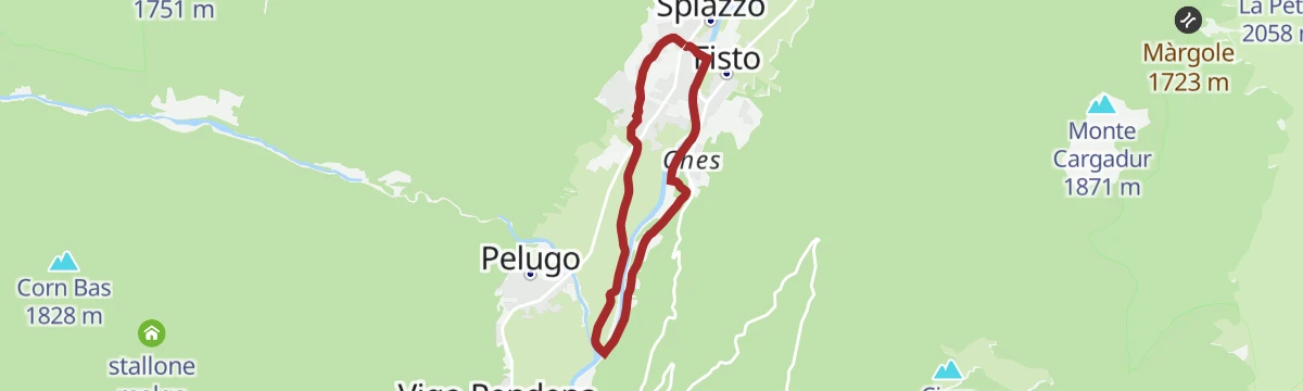
A short, easy ride along the floor of the Val Rendena at Spiazzo, with hardly any climbing from start to finish.
- 4.8 km
- Distance
- 67 m
- Ascent
- 29 min
- Duration
Open route APT Madonna di Campiglio, Pinzolo, Val RendenaDolomiti-Garda Alpine Cycling / Male - Riva del Garda
The full Dolomiti-Garda route through four Trentino valleys, from the Adamello Brenta park down to Lake Garda.
- 109.5 km
- Distance
- 3 039 m
- Ascent
- 12 h 49 min
- Duration
- 230
- Check-ins
- Falesia Fontanella 1 384 m
- Fortini 1 629 m
- LAB Après-Ski 1 632 m
 Laghetto Conca Verde 1 496 m
- La Cantina di Suisse 1 506 m
- Condominio Villa Golf 1 646 m
- +24
Open route APT Madonna di Campiglio, Pinzolo, Val RendenaWalk to the Rifugio Bedole - Adamello Collini
A short, level walk to the Adamello Collini hut on the green meadows of Bedole, at the head of the Val Genova.
- 2.1 km
- Distance
- 54 m
- Ascent
- 37 min
- Duration
- 38
- Check-ins
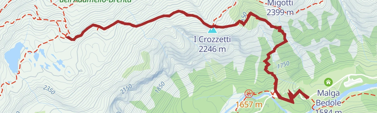
Open route APT Madonna di Campiglio, Pinzolo, Val RendenaSentiero della Pace 2: Rifugio Mandron to Rifugio Fontanabona
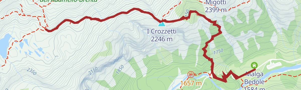
A stage of the Peace Trail from the Mandron hut past the Julius Payer study centre on the Adamello, down to the Bedole hut and out by cart road.
- 13.4 km
- Distance
- 55 m
- Ascent
- 4 h 31 min
- Duration
- 69
- Check-ins
- I Crozzetti 2 246 m
- Rifugio Mandrone 2 442 m
- Rifugio Adamello Collini al Bedole 1 640 m
- Fontana Bona 1 094 m
Open route APT Madonna di Campiglio, Pinzolo, Val RendenaPeace Trail - from Passo Tonale to Mandron Refuge
A long climb on SAT 281 to Passo Paradiso and the Paradiso gallery, a granite tunnel that sheltered soldiers, then past the Monticello lakes to the Mandron hut.
- 11.9 km
- Distance
- 1 137 m
- Ascent
- 5 h 60 min
- Duration
- 365
- Check-ins
- La Sgualdrina 3 006 m
- Passo Presena 2 990 m
- Ski Bar Presena 3000 - Panorama 3000 Glacier 2 999 m
- Rifugio Passo Paradiso 2 581 m
- Rifugio Mandrone 2 442 m
- Passo Paradiso (o del Monticello) 2 600 m
- +4
Open route APT Valli di Sole, Peio e RabbiRoad bike tour of Campiglio and Comano
A long road day from Pinzolo down the Sarca to Comano Terme, then back over Passo Durone and the steeper Passo Daone above Preore.
- 106.9 km
- Distance
- 3 187 m
- Ascent
- 12 h 30 min
- Duration
- 205
- Check-ins
- Falesia Fontanella 1 384 m
- Fortini 1 629 m
- LAB Après-Ski 1 632 m
- Laghetto Conca Verde 1 496 m
- Passo Campo Carlo Magno 1 682 m
- La Cantina di Suisse 1 506 m
- +18
Open route APT Madonna di Campiglio, Pinzolo, Val RendenaLago Mandrone X
A short walk around Lago Mandrone, a glacial lake on the shelf below the Mandrone hut at the head of the Val Genova.
- 755 m
- Distance
- 10 m
- Ascent
- 12 min
- Duration
- 17
- Check-ins
- Lago Mandrone 2 403 m
Open route Trentino FishingSarca Val Genova alto fino a Rio Lares escluso F
A near-level route along the upper Sarca in the Val Genova, following the river as far as the mouth of the Rio Lares.
- 10.6 km
- Distance
- 0 m
- Ascent
- 3 h 40 min
- Duration
- 26
- Check-ins
Open route Trentino FishingTrekking Adamello-Presanella
A long trek linking the Val di Sole with the Val Rendena, under the granite of Adamello and Presanella and the Vedretta del Mandrone, inside the Adamello-Brenta park.
- 28.7 km
- Distance
- 2 441 m
- Ascent
- 16 h 49 min
- Duration
- 259
- Check-ins
- Corno di Lago Scuro 3 166 m
- Corno di Casamadre 3 090 m
- Il Gendarme 3 044 m
- I Crozzetti 2 246 m
- Rifugio Passo Paradiso 2 581 m
- Rifugio Mandrone 2 442 m
- +11
Open route APT Valli di Sole, Peio e RabbiThe stage of 2022 Giro d'Italia Women.
A race-length road route from the Rotaliana plain to San Lorenzo Dorsino, with three long climbs by way of Andalo, Molveno and Passo Santel.
- 113.6 km
- Distance
- 3 474 m
- Ascent
- 13 h 10 min
- Duration
- 137
- Check-ins
- Fontanella 845 m
- Lago Park Hotel 826 m
- Grand Hotel Molveno 838 m
- Tre3 1 037 m
- Albergo El Paso 1 036 m
- Passo Santel 1 040 m
- +20
Open route APT Dolomiti di Brenta e PaganellaVal di Borzago tour along the path "Tutto il bosco in un sentiero" trail
A walk up the Val di Borzago below the east spires of Carè Alto, on a path with stairs and two long footbridges over the Rio Bedù.
- 3.8 km
- Distance
- 260 m
- Ascent
- 1 h 44 min
- Duration
- 8
- Check-ins
Open route APT Madonna di Campiglio, Pinzolo, Val RendenaCima Durmont
A half-day round on the flanks of Monte Durmont above the wild Val di Manez, from the Capanna Durmont through conifers to the Dotor and Stavel clearings.
- 9.6 km
- Distance
- 688 m
- Ascent
- 4 h 33 min
- Duration
- 22
- Check-ins
- Cima Durmont 1 838 m
- Passo Daone 1 290 m
- Ristorante "Capanna Durmont" 1 292 m
- Passo di Campiol 1 671 m
- Albergo - Ristorante "Capanna Durmont" 1 293 m
Open route APT Madonna di Campiglio, Pinzolo, Val RendenaSul ghiacciaio verso il Corno Bianco
A high glacier route for equipped ski mountaineers, crossing the ice to the summit of Corno Bianco above Vermiglio.
- 10.9 km
- Distance
- 1 020 m
- Ascent
- 5 h 34 min
- Duration
- 236
- Check-ins
The Southern side of Brenta Dolomites
A demanding road loop around the south of the Brenta group, with the Passo Daone the hardest of its climbs before the return to Andalo.
- 90.7 km
- Distance
- 3 054 m
- Ascent
- 10 h 56 min
- Duration
- 81
- Check-ins
- Fontanella 845 m
- Lago Park Hotel 826 m
- Grand Hotel Molveno 838 m
- Sella di Andalo 1 042 m
- APT Dolomiti Paganella 1 021 m
- Passo Daone 1 290 m
- +9
Open route APT Dolomiti di Brenta e PaganellaLago Scuro di Mandrone X
A short walk to the Lago Scuro on the Mandrone shelf, one of the small lakes below the Adamello glacier.
- 1.4 km
- Distance
- 0 m
- Ascent
- 20 min
- Duration
- 1
- Check-ins
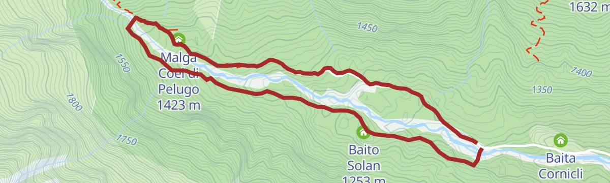
Open route Trentino FishingRio Bedù 2 di Pelugo e affluenti L
A level route following the Bedù di Pelugo and its side streams through the woods of the Val Rendena.
- 9.1 km
- Distance
- 0 m
- Ascent
- 3 h 43 min
- Duration
- 8
- Check-ins
Open route Trentino FishingCima Payer from Val di Genova
A hard climb out of the Val Genova to Cima Payer, on the rim above the Mandrone glacier basin.
- 12.4 km
- Distance
- 1 446 m
- Ascent
- 8 h 40 min
- Duration
- 115
- Check-ins
- Cima Payer 3 054 m
- I Crozzetti 2 246 m
- Rifugio Mandrone 2 442 m
- Rifugio Adamello Collini al Bedole 1 640 m
- Malga Bedole 1 584 m
- Passo di Lago Scuro 2 969 m
- +3
Open route APT Madonna di Campiglio, Pinzolo, Val RendenaVillages and waterfalls
A very long road tour from Andalo past the lake at Molveno into the Val Genova, where the waterfalls are, and back over the Sella di Andalo.
- 112.2 km
- Distance
- 2 787 m
- Ascent
- 12 h 35 min
- Duration
- 79
- Check-ins
- Fontanella 845 m
- Val Genova information point 905 m
- Lago Park Hotel 826 m
- Grand Hotel Molveno 838 m
- Sella di Andalo 1 042 m
- APT Dolomiti Paganella 1 021 m
- +4
Open route APT Dolomiti di Brenta e PaganellaRio Siniciaga G2
A level route along the Rio Siniciaga near Spiazzo, following the stream across the floor of the Rendena valley.
- 5.2 km
- Distance
- 0 m
- Ascent
- 2 h 22 min
- Duration
- 1
- Check-ins
Open route Trentino FishingHike to Rifugio Lobbie Caduti dell’Adamello
A long climb from the Val Genova to the Rifugio Caduti dell'Adamello at the Lobbie, high on the edge of the Adamello glacier.
- 13.6 km
- Distance
- 1 400 m
- Ascent
- 8 h 33 min
- Duration
- 83
- Check-ins
- Rifugio ai Caduti dell'Adamello 3 025 m
- Rifugio Adamello Collini al Bedole 1 640 m
- Passo della Lobbia Alta 3 013 m
- Malga Matarot 1 792 m
Open route APT Madonna di Campiglio, Pinzolo, Val RendenaMedium Route - Top Dolomites Gran Fondo
The shorter of the granfondo road courses, running from Pinzolo over the Passo del Durone and finishing with the climb to Madonna di Campiglio.
- 83.5 km
- Distance
- 2 519 m
- Ascent
- 9 h 31 min
- Duration
- 45
- Check-ins
- Falesia Fontanella 1 384 m
- La Cantina di Suisse 1 506 m
- Panorama Hotel Fontanella 1 434 m
- Bar Ristorante Passo Durone 995 m
- Passo del Durone 1 010 m
- Chiesetta degli alpini 1 029 m
- +3
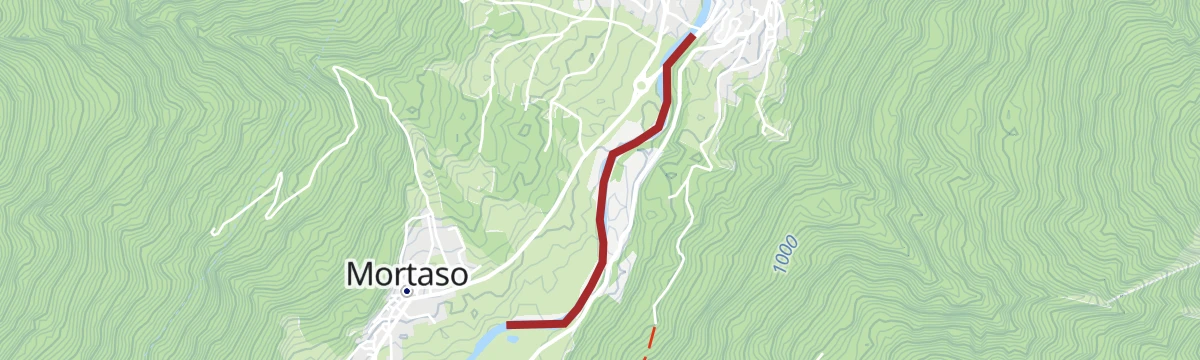
Open route APT Madonna di Campiglio, Pinzolo, Val RendenaFiume Sarca NK2
A short and completely flat path along the Sarca river at Spiazzo in Trentino.
- 1.5 km
- Distance
- 0 m
- Ascent
- 24 min
- Duration
Open route Trentino FishingTour to Mandrone refuge
A steep climb from Malga Bedole by the Adamello Collini hut and trail 212 to the Rifugio Mandron, facing the largest glacier in the Italian Alps.
- 10.0 km
- Distance
- 1 000 m
- Ascent
- 6 h 8 min
- Duration
- 79
- Check-ins
- I Crozzetti 2 246 m
- Rifugio Mandrone 2 442 m
- Rifugio Adamello Collini al Bedole 1 640 m
- Malga Bedole 1 584 m
Open route APT Madonna di Campiglio, Pinzolo, Val RendenaDaone Pass Tour
A dirt-road climb from Pinzolo along the eastern flank of the valley to Passo Daone, returning through Amolo and Provaiolo to the cycle path.
- 46.7 km
- Distance
- 1 431 m
- Ascent
- 5 h 30 min
- Duration
- 19
- Check-ins
- Passo Daone 1 290 m
- Ristorante "Capanna Durmont" 1 292 m
- RendenEgg 757 m
- Villa Santi 1 170 m
- Maso Colombin 1 220 m
- Ristorante Pizzeria Le Fontane 595 m
- +2
Open route APT Madonna di Campiglio, Pinzolo, Val RendenaFiume Sarca Tione-Pinzolo da confluenza Sarca Val Genova a confluenza Arnò B
A level route along the Sarca between the Val Genova confluence and the mouth of the Arnò, on the floor of the Rendena valley.
- 4.8 km
- Distance
- 0 m
- Ascent
- 1 h 11 min
- Duration
Open route Trentino FishingHiking to Rifugio Città di Trento al Mandron
A climb from Bedole on the Marchetti path to a granite shelf high in the Val Genova, where the Rifugio Città di Trento faces the Lobbie.
- 9.5 km
- Distance
- 990 m
- Ascent
- 6 h 2 min
- Duration
- 63
- Check-ins
Open route APT Madonna di Campiglio, Pinzolo, Val RendenaThe cycle route from the Brenta Dolomites to Lake Idro
A long valley cycle path linking the Val Rendena with the Giudicarie and the Chiese valley, passing Lago di Roncone on the way south.
- 56.7 km
- Distance
- 384 m
- Ascent
- 5 h 34 min
- Duration
- 18
- Check-ins
- Lago di Roncone 786 m
- Albergo Eden 797 m
- Consorzio turistico valle del Chiese 496 m
- RendenEgg 757 m
- Bici Grill 418 m
- Ristorante Pizzeria Le Fontane 595 m
- +1
Open route APT Madonna di Campiglio, Pinzolo, Val RendenaHistorical route "Terra di Moleti" in Spiazzo Rendena
A short village route from Pieve di Rendena to Mortaso, telling through artworks the story of the knife grinders who emigrated from the valley.
- 483 m
- Distance
- 37 m
- Ascent
- 10 min
- Duration
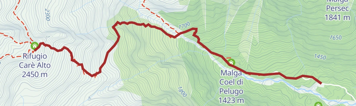
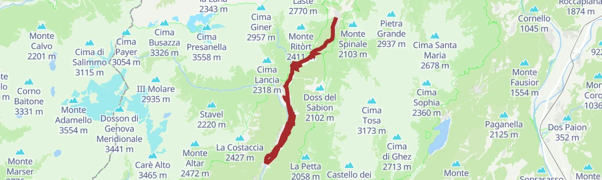
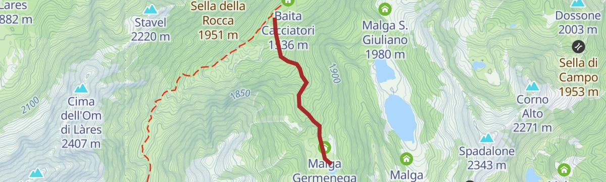
Open route APT Madonna di Campiglio, Pinzolo, Val RendenaSentiero della Pace 3: Rifugio Fontanabona to Rifugio Carè Alto
A hard stage of the Sentiero della Pace climbing from Fontana Bona over the Passo Altar to the Rifugio Carè Alto, below its pyramid of a peak.
- 13.3 km
- Distance
- 1 658 m
- Ascent
- 7 h 18 min
- Duration
- 26
- Check-ins
- Rifugio Carè Alto 2 450 m
- Fontana Bona 1 094 m
- Passo Altar 2 386 m
- Baita Cacciatori 1 536 m
- Malga Germenega Bassa 1 582 m
- Malga Seniciaga Alta 1 947 m
Open route APT Madonna di Campiglio, Pinzolo, Val RendenaDolomiti-Garda Alpine Cycling 2 - Pinzolo - Ponte Arche
The middle stage of a long route from the Adamello Brenta park to Lake Garda, running from Pinzolo over Passo Daone towards Ponte Arche.
- 37.6 km
- Distance
- 1 299 m
- Ascent
- 4 h 41 min
- Duration
- 16
- Check-ins
- Passo Daone 1 290 m
- Ristorante "Capanna Durmont" 1 292 m
- RendenEgg 757 m
- Villa Santi 1 170 m
- Maso Colombin 1 220 m
- Albergo - Ristorante "Capanna Durmont" 1 293 m
Open route APT Madonna di Campiglio, Pinzolo, Val RendenaLago Nuovo X
A short walk to Lago Nuovo, one of the small lakes on the Mandrone shelf above the Val Genova.
- 1.4 km
- Distance
- 19 m
- Ascent
- 23 min
- Duration
Open route Trentino FishingVal di Borzago - La Via delle Valli
A steady climb from Pian della Sega in the Val di Borzago to the Carè Alto hut, past Great War remains at the Bocca del Cannone and a small wooden church.
- 9.4 km
- Distance
- 1 178 m
- Ascent
- 6 h 58 min
- Duration
- 24
- Check-ins
Open route APT Madonna di Campiglio, Pinzolo, Val RendenaShort Route - Top Dolomites Gran Fondo
The short course of a road race that starts in Pinzolo and finishes up at Madonna di Campiglio, under the Brenta Dolomites.
- 29.0 km
- Distance
- 1 038 m
- Ascent
- 3 h 18 min
- Duration
- 14
- Check-ins
Open route APT Madonna di Campiglio, Pinzolo, Val RendenaRio Germenega G2
A short level route along the Rio Germenega where it runs down towards the Sarca near Spiazzo.
- 1.9 km
- Distance
- 0 m
- Ascent
- 50 min
- Duration
- Lago Germenega 1 871 m
Open route Trentino FishingVal Germénega - La Via delle Valli
A long crossing from the Val Genova past Chalet da Gino, up the Val Seniciaga and into the Val Germénega to the San Giuliano lakes hut.
- 20.4 km
- Distance
- 1 630 m
- Ascent
- 10 h 31 min
- Duration
- 17
- Check-ins
- Rifugio San Giuliano 1 960 m
- Baita Cacciatori 1 536 m
- Malga Germenega Bassa 1 582 m
- Malga Germenega Di Mezzo 1 872 m
Open route APT Madonna di Campiglio, Pinzolo, Val RendenaVal Rendena cycle path
A mostly level ride beside the Sarca with occasional short rises, suitable for families; the Tulot to Pineta section is shut for roadworks.
- 27.2 km
- Distance
- 54 m
- Ascent
- 2 h 36 min
- Duration
- 6
- Check-ins
Open route APT Madonna di Campiglio, Pinzolo, Val RendenaSalagadart – The path of thoughts
A short walk among old chestnut and hazel trees near Spiazzo, where carved wood and stone stand along the mossy walls of the old Salagade.
- 1.9 km
- Distance
- 95 m
- Ascent
- 42 min
- Duration
Open route APT Madonna di Campiglio, Pinzolo, Val RendenaVal Siniciaga - The Way of the Valleys
A demanding climb from the Val Genova along part of the peace trail, up a valley that carried a military cable car, past a restored Austrian cemetery.
- 17.5 km
- Distance
- 1 418 m
- Ascent
- 9 h 7 min
- Duration
- 4
- Check-ins
- Passo Altar 2 386 m
- Baita Cacciatori 1 536 m
- Malga Germenega Bassa 1 582 m
- Malga Seniciaga Alta 1 947 m
Open route APT Madonna di Campiglio, Pinzolo, Val RendenaDolomiti di Brenta Bike Explorer - Val Rendena: la val di Borzago e la val di San Valentino
A hard double climb off the Val Rendena floor into the Val di Borzago and the Val di San Valentino, reaching Malga Praino and the Baita Cornicli.
- 42.3 km
- Distance
- 2 263 m
- Ascent
- 6 h 9 min
- Duration
- 2
- Check-ins
- Albergo Rifugio Gorck 1 179 m
- Ristorante Pizzeria Le Fontane 595 m
- Baita Cornicli 1 184 m
- Malga Praino 1 565 m
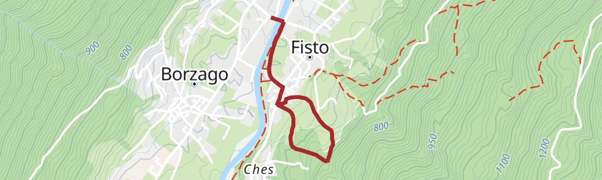
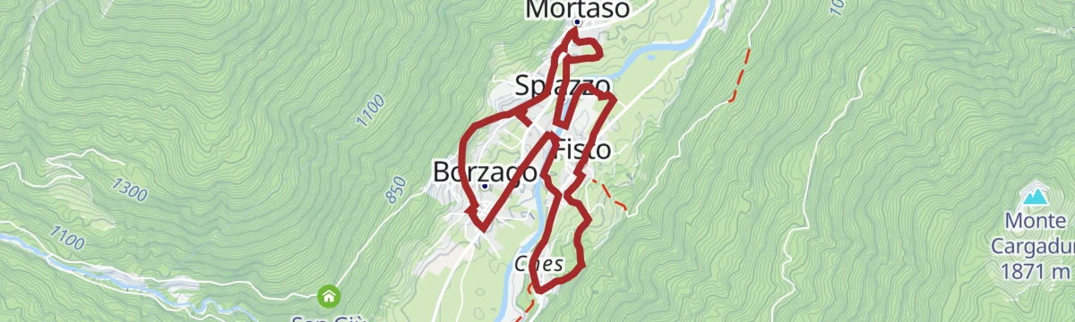
Open route APT Dolomiti di Brenta e PaganellaTour of Historic Centers
An easy link between the old village centres of Borzago, Fisto, Mortaso and Spiazzo on the floor of the Rendena valley.
- 6.3 km
- Distance
- 143 m
- Ascent
- 1 h 50 min
- Duration
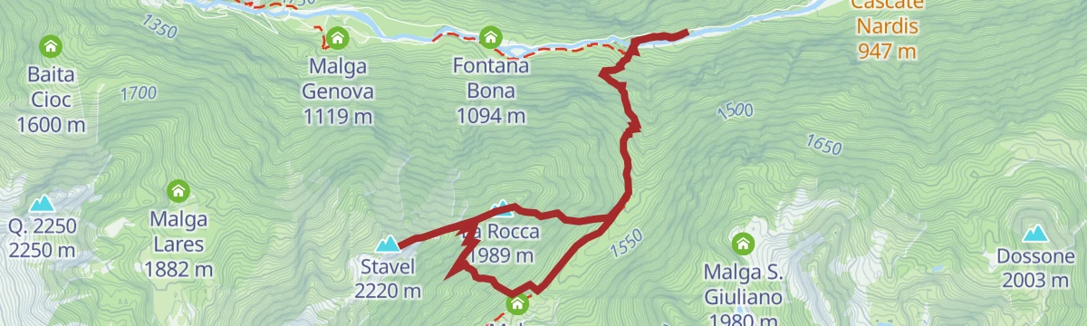
Open route APT Madonna di Campiglio, Pinzolo, Val RendenaThe War Observatory Trail: Monte Stavel – Val Genova – The Great War Itineraries
A hard route from Scala di Bò up the Val Siniciaga to the Monte Rocca ridge, with a cabled step, then the Om di Lares pass to Monte Stavel past trenches.
- 9.5 km
- Distance
- 1 157 m
- Ascent
- 6 h 52 min
- Duration
- 2
- Check-ins
- Stavel 2 220 m
- La Rocca 1 989 m
- Baita Cacciatori 1 536 m
- Malga Germenega Bassa 1 582 m
- Sella della Rocca 1 951 m
Open route APT Madonna di Campiglio, Pinzolo, Val RendenaVia da le Vide - Artistic itinerary in the wood
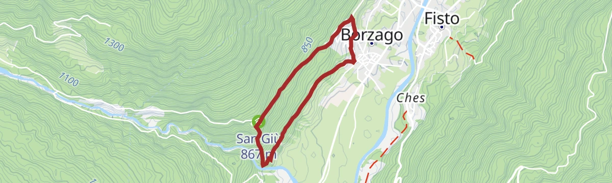
A walk from Borzago past carved panels on the house walls and into chestnut wood, where sculptures from local carving symposiums stand by dry stone walls.
- 3.3 km
- Distance
- 230 m
- Ascent
- 1 h 32 min
- Duration
Open route APT Madonna di Campiglio, Pinzolo, Val RendenaMalga Praino Tour n°985
A long loop from Vigo Rendena up the San Valentino valley to the Gorck hut and the remote Malga Praino, back by the Borzago valley and Spiazzo.
- 28.5 km
- Distance
- 1 362 m
- Ascent
- 10 h 7 min
- Duration
- 1
- Check-ins
Open route APT Madonna di Campiglio, Pinzolo, Val Rendena
No routes of this kind in Spiazzo yet.
The region's own picks

Featured route
Tour from Malga Bedole to Malga Matarot Bassa in Val Genova
A walk up the Val Genova from Malga Bedole over the Ponte delle Cambiali gorge to Mandra Matarot, under the Lobbia glacier and the Matarot fall.
Planning a trip to Spiazzo?
Everything else Trentino-Alto Adige/Südtirol has, in one place


Take Spiazzo with you into the mountains
Every route on this page with 3D terrain, GPX navigation and offline maps — including the valleys with no signal.
Data sources
- Official website: campigliodolomiti.it ↗
- Routes and highlights: APT Madonna di Campiglio, Pinzolo, Val Rendena, Trentino Fishing, APT Valli di Sole, Peio e Rabbi, APT Dolomiti di Brenta e Paganella, Astrotourism, VisitTrentino, in Lombardia
- Published as open data by the tourist boards named above.
- Region summary generated from the board's own material.
