










Curated by Valtellina Outdoor
Sondalo
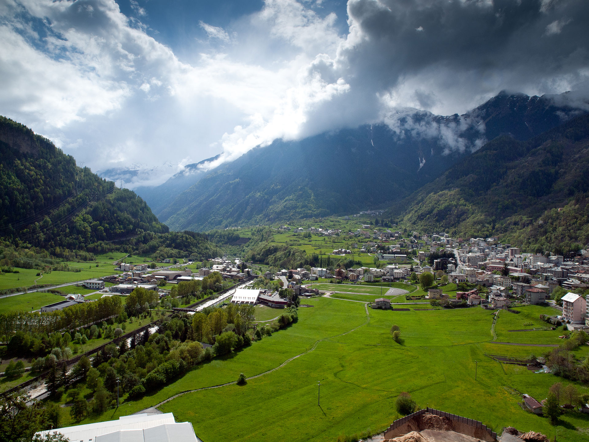
Alta Valtellina town on the Adda, known for the monumental Morelli sanatorium village on the slope above it.
- 3Highlights
- 38Routes
- Featured summit · Cima di Savoretta
Highlights
All 3 from neighbouring places
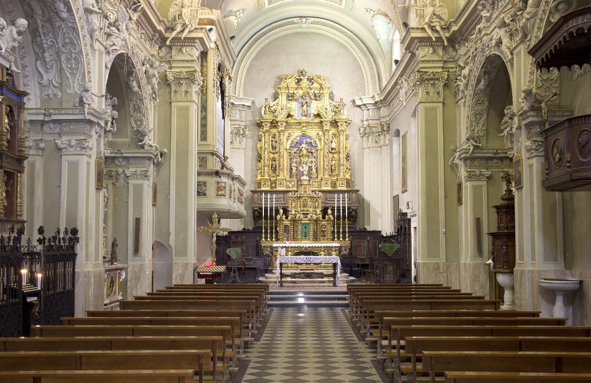
Chiesa della Santissima Trinità
14.8 km away, in Ponte di Legno
A sixteenth-century church on a knoll in the middle of Ponte di Legno, at the head of the Val Camonica.
Parco Nazionale dello Stelvio
14.9 km away, in Ponte di Legno
Italy's largest national park, spanning Lombardy, Trentino and South Tyrol around the Ortles-Cevedale glaciers.
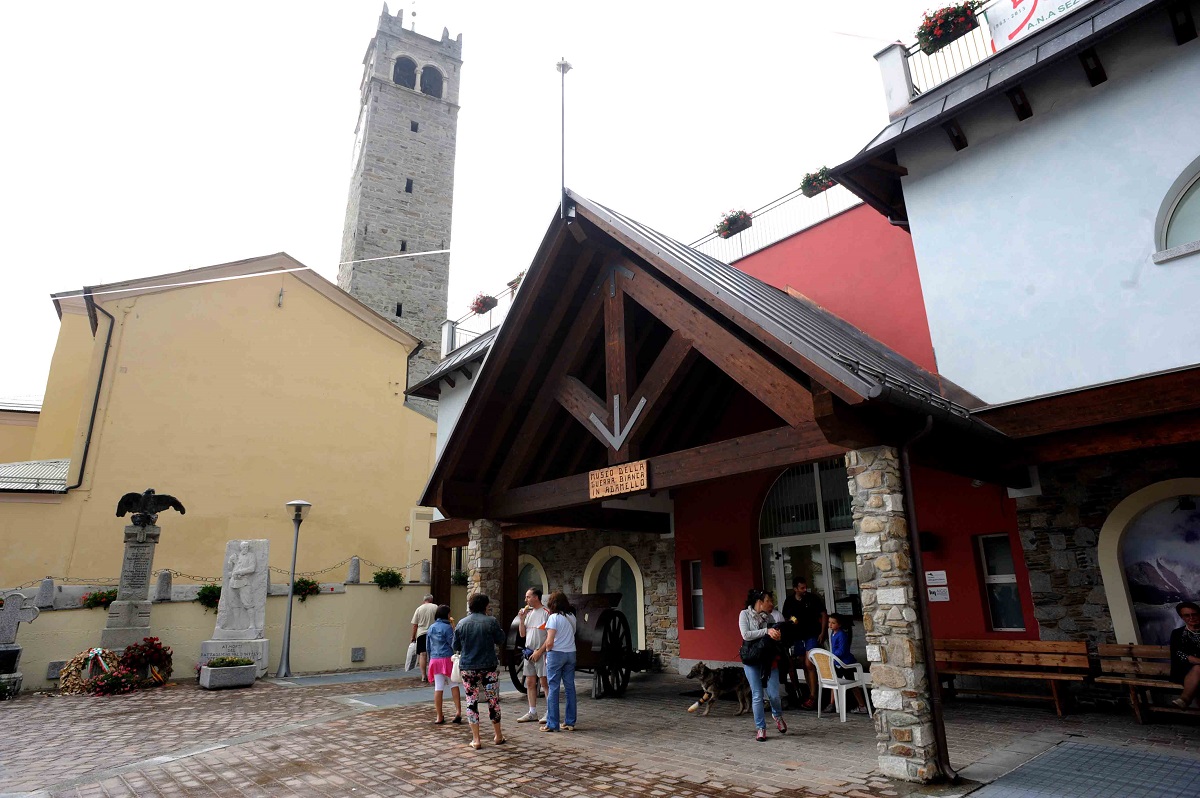
Museo della Guerra Bianca in Adamello di Temù
13.3 km away, in Temù
A museum at Temù on the White War fought on the Adamello glaciers between 1915 and 1918.
Nothing of this kind in Sondalo.
Routes
Madonna della Neve
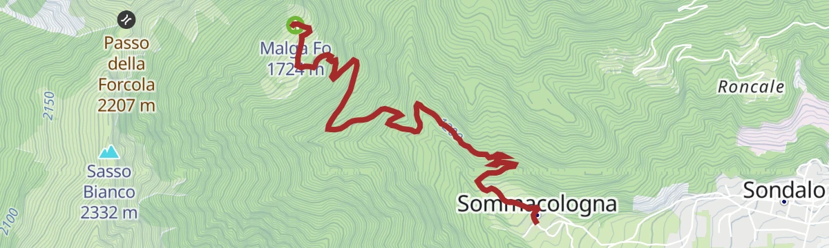
A path from Sommacologna above Sondalo, climbing to La Vigna and dropping through forest to Remoscolo, facing the Morelli hospital buildings.
- 2.7 km
- Distance
- 314 m
- Ascent
- 1 h 27 min
- Duration
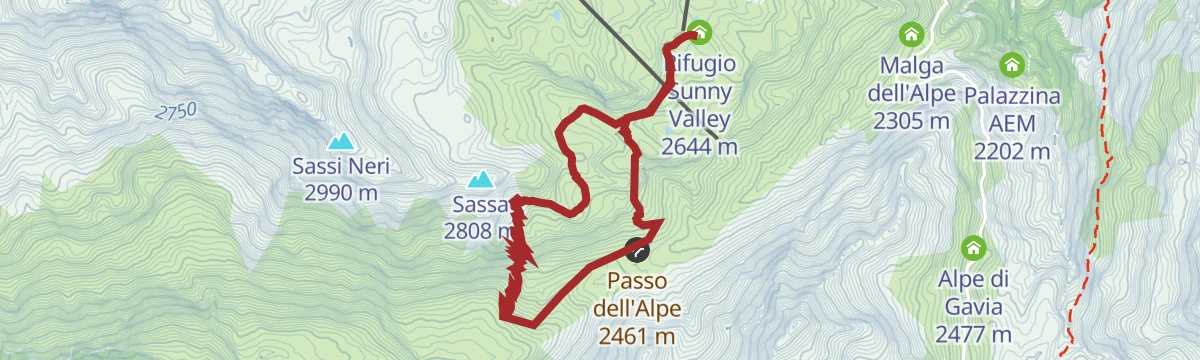
Open route Valtellina OutdoorSunny Valley - Great War
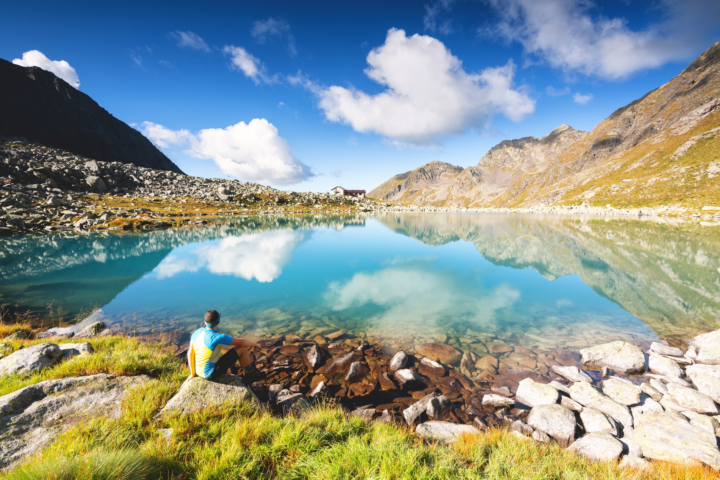
A high route following First World War tracks between the Passo dell'Alpe and the refuge at 2,644 m, in the mountains above Sondalo.
- 7.7 km
- Distance
- 465 m
- Ascent
- 3 h 13 min
- Duration
- 36
- Check-ins
Open route Valtellina OutdoorGavia Pass from Val di Rezzalo
The military track up the Val di Rezzalo by La Pontela, the San Bernardo plain and the drystone huts of Clev, on towards the Gavia pass.
- 17.0 km
- Distance
- 1 252 m
- Ascent
- 6 h 10 min
- Duration
- 93
- Check-ins
 Rifugio Arnaldo Berni 2 560 m
 Passo di Gavia 2 621 m
- Rifugio Bonetta 2 621 m
- Rifugio La Baita 1 860 m
 Lago Bianco 2 611 m
- Alpe di Gavia 2 477 m
- +1
Open route Valtellina Outdoor3 Gondole Tour
A long day linking the three Bormio gondolas, from Bormio 2000 round to the Sunny Valley hut in Valfurva.
- 78.1 km
- Distance
- 3 288 m
- Ascent
- 10 h 2 min
- Duration
- 115
- Check-ins
- Rifugio Sunny Valley 2 644 m
- Gallo Cedrone 1 956 m
- Proloco Valfurva 1 734 m
- Rifugio La Baita 1 860 m
- Rifugio Conca Bianca 1 987 m
- Hotel Eira 1 240 m
- +9
Open route Valtellina OutdoorStelvio Epic Rides: Fumero climb
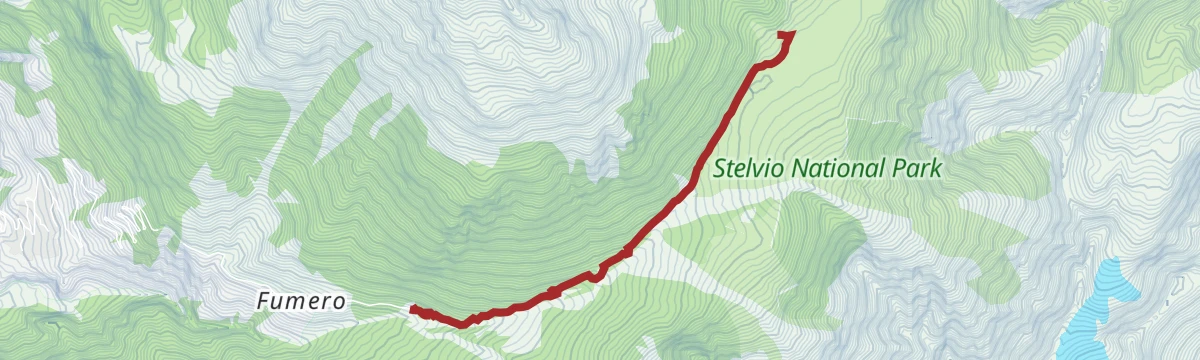
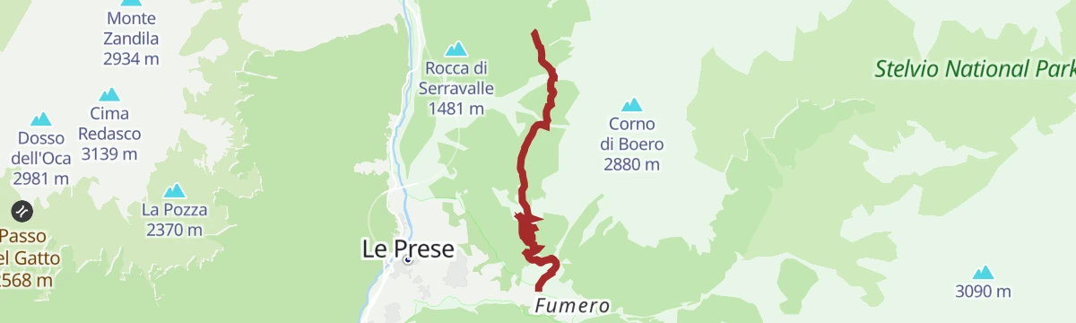
The road climb from Le Prese up to Fumero, steady and at times hard, through villages and woods to a quiet balcony over the upper valley.
- 6.9 km
- Distance
- 562 m
- Ascent
- 59 min
- Duration
Open route Valtellina OutdoorAlpine Gravel: Val di Campo
A very long gravel ride from Bormio on white roads, climbing past Baita Viola and the Baite Altumeira to the Rifugio Saoseo and Sfazù.
- 110.0 km
- Distance
- 2 125 m
- Ascent
- 11 h 46 min
- Duration
- 110
- Check-ins
- Baita Viola 1 883 m
- Ristoro Baita Altumeira 2 118 m
- Rifugio SAC Lungacqua Saoseo 1 985 m
- Sfazù 1 622 m
- Zarera 1 602 m
- Baite Altumeira 2 131 m
- +10
Open route Valtellina OutdoorMotin
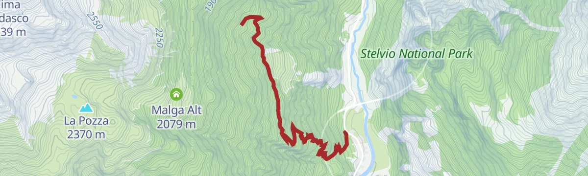
A route above the quartz quarry at Sondalo by Pra di Piaz to the huts of Esc, through fir forest with a rockfall gully to cross.
- 3.7 km
- Distance
- 189 m
- Ascent
- 1 h 15 min
- Duration
Open route Valtellina OutdoorIl Sentiero Valtellina
The Colico end of the Sentiero Valtellina, where the route along the Adda leaves the head of Lake Como for the valley.
- 113.6 km
- Distance
- 1 108 m
- Ascent
- 28 h 24 min
- Duration
- 12
- Check-ins
Top of Savoretta
A long climb from Fontanaccia by the San Bernardo plain and the Clevaccio huts to the summit of Savoretta.
- 10.9 km
- Distance
- 1 540 m
- Ascent
- 6 h 4 min
- Duration
- 10
- Check-ins
Open route Valtellina OutdoorThe Val di Rezzalo from Fontanaccia to Bormio by MTB
A crossing of Passo dell'Alpe in the Stelvio National Park, with a long descent to Santa Caterina Valfurva and the Frodolfo stream down to Bormio.
- 33.0 km
- Distance
- 1 185 m
- Ascent
- 4 h 8 min
- Duration
- 51
- Check-ins
- Rifugio Sci 2000 2 008 m
- La Tana 1 737 m
- Bait Da Mighel 1 278 m
- Rifugio La Baita 1 860 m
- Passo dell'Alpe 2 461 m
Open route Valtellina OutdoorAlpine Gravel: Verva Loop
A long gravel loop out of Bormio crossing Passo di Verva at 2,300 m, with Baita Viola and Rifugio Eita on the high dirt roads.
- 70.8 km
- Distance
- 1 761 m
- Ascent
- 7 h 57 min
- Duration
- 63
- Check-ins
- Baita Viola 1 883 m
- Rifugio Eita 1 703 m
- Blu Note 1 358 m
- Agriturismo Val Verva 2 124 m
- Baita Verva Sotto 1 955 m
- Passo di Verva 2 300 m
- +6
Open route Valtellina OutdoorSan Bernardo
A short walk on the wartime mule track S519 up the right bank of the Rezzalasch to the wooden bridge and huts of La Pontela.
- 2.8 km
- Distance
- 333 m
- Ascent
- 1 h 22 min
- Duration
Open route Valtellina OutdoorRoute in Val di Rezzalo from the Ponte dell'Alpe
A crossing from the Ponte dell'Alpe up beside the stream to the Passo dell'Alpe, then down the Val di Rezzalo past its dry-stone huts.
- 12.4 km
- Distance
- 170 m
- Ascent
- 4 h 4 min
- Duration
- 12
- Check-ins
Open route Valtellina OutdoorLake Pollore
A long climb up the Rezzalo valley to San Bernardo, then off on trail S537 to the Pollore huts and the lakes above them.
- 15.8 km
- Distance
- 1 056 m
- Ascent
- 7 h 7 min
- Duration
- 9
- Check-ins
Open route Valtellina OutdoorBormio 360 Mountain Bike - Stage 7 - Rhododendron Trail
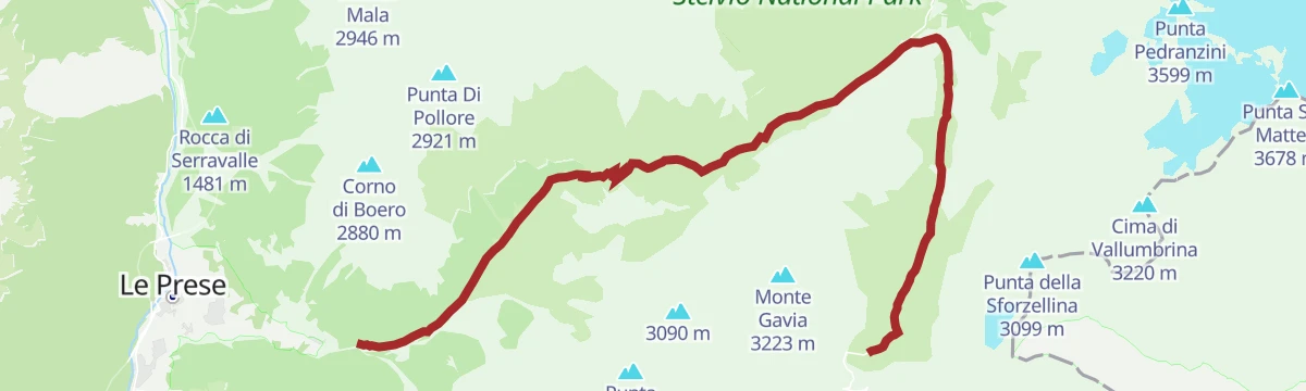
An almost unbroken climb from Fontanaccia up the Val di Rezzalo, on forest trail and old military hairpins to Passo dell'Alpe at 2,461 m.
- 12.8 km
- Distance
- 958 m
- Ascent
- 1 h 49 min
- Duration
- 24
- Check-ins
Open route Valtellina OutdoorAlpine Gravel: Val di Rezzalo
A gravel crossing of the Rezzalo valley from Bormio, climbing past stone huts and larch woods to Passo dell'Alpe at 2,461 m.
- 55.5 km
- Distance
- 1 733 m
- Ascent
- 6 h 33 min
- Duration
- 56
- Check-ins
- Rifugio Sci 2000 2 008 m
- La Tana 1 737 m
- Bait Da Mighel 1 278 m
- Rifugio La Baita 1 860 m
- Passo dell'Alpe 2 461 m
- Agriturismo Rini 1 180 m
- +2
Open route Valtellina OutdoorIn Val di Rezzalo al Rifugio La Baita
A short winter walk up the Val di Rezzalo to the La Baita hut, with the whole valley under snow.
- 3.1 km
- Distance
- 363 m
- Ascent
- 1 h 31 min
- Duration
- 9
- Check-ins
Tip of Pollore
A steep ascent from Fontanaccia by the San Bernardo plain into a gully and up the ridge to the top of Pollore.
- 6.8 km
- Distance
- 1 435 m
- Ascent
- 5 h 16 min
- Duration
- 9
- Check-ins
Open route Valtellina OutdoorRezzalo Valley by MTB from the Alpe Bridge
A forest-road climb off the SP29 Gavia road to Passo dell'Alpe at 2,461 m, then a long descent to Rifugio La Baita.
- 18.9 km
- Distance
- 180 m
- Ascent
- 2 h 19 min
- Duration
- 12
- Check-ins
Open route Valtellina OutdoorEnergy Cycleway - Red Route
A long Valtellina route past the A2A hydroelectric sites, climbing to the Passo Torri di Fraele and the lake at 1,928 m.
- 63.3 km
- Distance
- 1 661 m
- Ascent
- 6 h 37 min
- Duration
- 44
- Check-ins
- Monte delle Scale 1 953 m
- Passo Torri di Fraele 1 941 m
- Lago delle Scale 1 928 m
- Villa Valania 1 931 m
- Agriturismo Rini 1 180 m
- Pro Loco 1 140 m
- +2
Open route Valtellina OutdoorVal di Rezzalo with Joelette
The Rezzalo valley track from Fontanaccia, passable with a joelette wheelchair given four handlers, rough and steep in places.
- 6.1 km
- Distance
- 371 m
- Ascent
- 2 h 33 min
- Duration
- 9
- Check-ins
Open route Valtellina OutdoorMarian Path of the Eastern Alps - Stage Cepina Grosotto
A long valley stage from Cepina to Grosotto through the Serravalle narrows, over ground reshaped by the 1987 landslide that buried Sant'Antonio Morignone.
- 29.3 km
- Distance
- 461 m
- Ascent
- 8 h 29 min
- Duration
- 5
- Check-ins
Open route Valtellina OutdoorBormio 360 Mountain Bike - Stage 6 - Sentiero de li stria
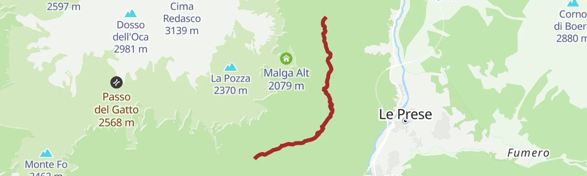
A link stage across the slopes above Sondalo, dropping through Mondadizza and Le Prese before the road to Fontanaccia at the mouth of Val di Rezzalo.
- 15.2 km
- Distance
- 885 m
- Ascent
- 1 h 57 min
- Duration
Open route Valtellina OutdoorStelvio Epic Rides: Mortirolo from Bormio
The Mortirolo pass taken from Grosio, its more scenic side, twelve kilometres averaging above ten percent.
- 36.0 km
- Distance
- 1 173 m
- Ascent
- 4 h 4 min
- Duration
- 11
- Check-ins
Open route Valtellina OutdoorBaite Fo
A climb from Pra' Bugien over the Migiondo stream to the huts of Piaz Fo and Flescia and the stone hamlet of Fo, under Monte Storile.
- 4.0 km
- Distance
- 684 m
- Ascent
- 2 h 36 min
- Duration
Open route Valtellina OutdoorBormio 360 Trekking - Stage 6 - Sentiero de li Stria
A demanding stage from Sondalo on trail S494 by Villa Manara and Mondadizza, climbing steeply through the Scala valley.
- 10.6 km
- Distance
- 920 m
- Ascent
- 4 h 38 min
- Duration
Open route Valtellina OutdoorBormio 360 Mountain Bike- Stage 5 - Mineral Trail
A mountain-bike stage from Malga Alt down to Padiglione 7 near Sondalo, over ground where quartz, tourmaline and apatite are still quarried.
- 18.7 km
- Distance
- 515 m
- Ascent
- 2 h 38 min
- Duration
Open route Valtellina OutdoorSentiero Valtellina
A valley-floor cycleway following the Adda upstream from the plain at Colico for well over 100 km into the upper Valtellina.
- 113.4 km
- Distance
- 1 068 m
- Ascent
- 10 h 43 min
- Duration
- 6
- Check-ins
- Agriturismo Rini 1 180 m
- Pro Loco 1 140 m
- A2A 504 m
- Visit Valtellina 434 m
- Il Bisteca - Agriturismo 242 m
Open route Valtellina OutdoorBoero Panoramic Tour
A route from Frontale on the S518 mule track by Clamezen and Pravadina to the Asola and Boero huts, on a terrace over the upper Valtellina.
- 10.7 km
- Distance
- 760 m
- Ascent
- 5 h 2 min
- Duration
Open route Valtellina OutdoorMadrisio huts
A climb on trail S492 from Bolladore through fir and larch above the Boscaccia cliffs to the sunny hamlet of Taron and on to Madrisio.
- 5.3 km
- Distance
- 902 m
- Ascent
- 3 h 26 min
- Duration
Open route Valtellina OutdoorCece Alto
A climb from Bolladore by Villa Manara and a mule track through fir forest to the meadows and huts of Cecè Alt, facing Bormio.
- 4.3 km
- Distance
- 829 m
- Ascent
- 3 h 5 min
- Duration
Open route Valtellina OutdoorMont of Poltron
A steep climb from Fontanaccia past hut clearings into the Val delle Pozze, then up the Fioretti side to the west ridge of Monte dei Poltron.
- 4.8 km
- Distance
- 1 183 m
- Ascent
- 4 h 15 min
- Duration
Open route Valtellina OutdoorLi Moregn
A climb from the quartz quarry at Sondalo through fir woods to Fiecc and then Li Mota, where the firs give way to larch.
- 3.5 km
- Distance
- 531 m
- Ascent
- 2 h 4 min
- Duration
Open route Valtellina OutdoorMilosa
A round from Sommacologna by Muscet and Pra Magri to the Milosa meadows, returning past Pra di Piaz and the quartz quarry.
- 9.8 km
- Distance
- 883 m
- Ascent
- 5 h 32 min
- Duration
Open route Valtellina OutdoorMotin from Le Prese Nuove
A mule track from Ca' di Calvi above Le Prese through Scots pine by a small chapel to the huts of Bedogne and Motin.
- 3.7 km
- Distance
- 656 m
- Ascent
- 2 h 29 min
- Duration
Open route Valtellina OutdoorProfa Alta
A steep line from Fumero on trail S539 by the Agac huts to Pavagn, then a level former military road through stone pine to Profa Alta.
- 5.5 km
- Distance
- 632 m
- Ascent
- 2 h 44 min
- Duration
Open route Valtellina OutdoorStelvio Family Trek: Anello Villa Manara
A ring from the centre of Sondalo up old mule tracks through mixed woods, with openings over the valley floor and the Valtellina peaks.
- 8.3 km
- Distance
- 256 m
- Ascent
- 2 h 35 min
- Duration
Open route Valtellina OutdoorStelvio Family Trek: Taronno Loop
A loop above Sondalo on its sunny flank, through conifer woods and old rural hamlets, reaching the mountain village of Taronno.
- 7.6 km
- Distance
- 290 m
- Ascent
- 2 h 31 min
- Duration
Open route Valtellina Outdoor
No routes of this kind in Sondalo yet.
The region's own picks

Featured route
Madonna della Neve
A path from Sommacologna above Sondalo, climbing to La Vigna and dropping through forest to Remoscolo, facing the Morelli hospital buildings.
Planning a trip to Sondalo?
Everything else Lombardy has, in one place


Take Sondalo with you into the mountains
Every route on this page with 3D terrain, GPX navigation and offline maps — including the valleys with no signal.
Data sources
- Official website: bormio.eu ↗
- Routes and highlights: Valtellina Outdoor, Visitbrescia, Sondrio e Valmalenco, in Lombardia
- Published as open data by the tourist boards named above.
- Region summary generated from the board's own material.
