
 Cable car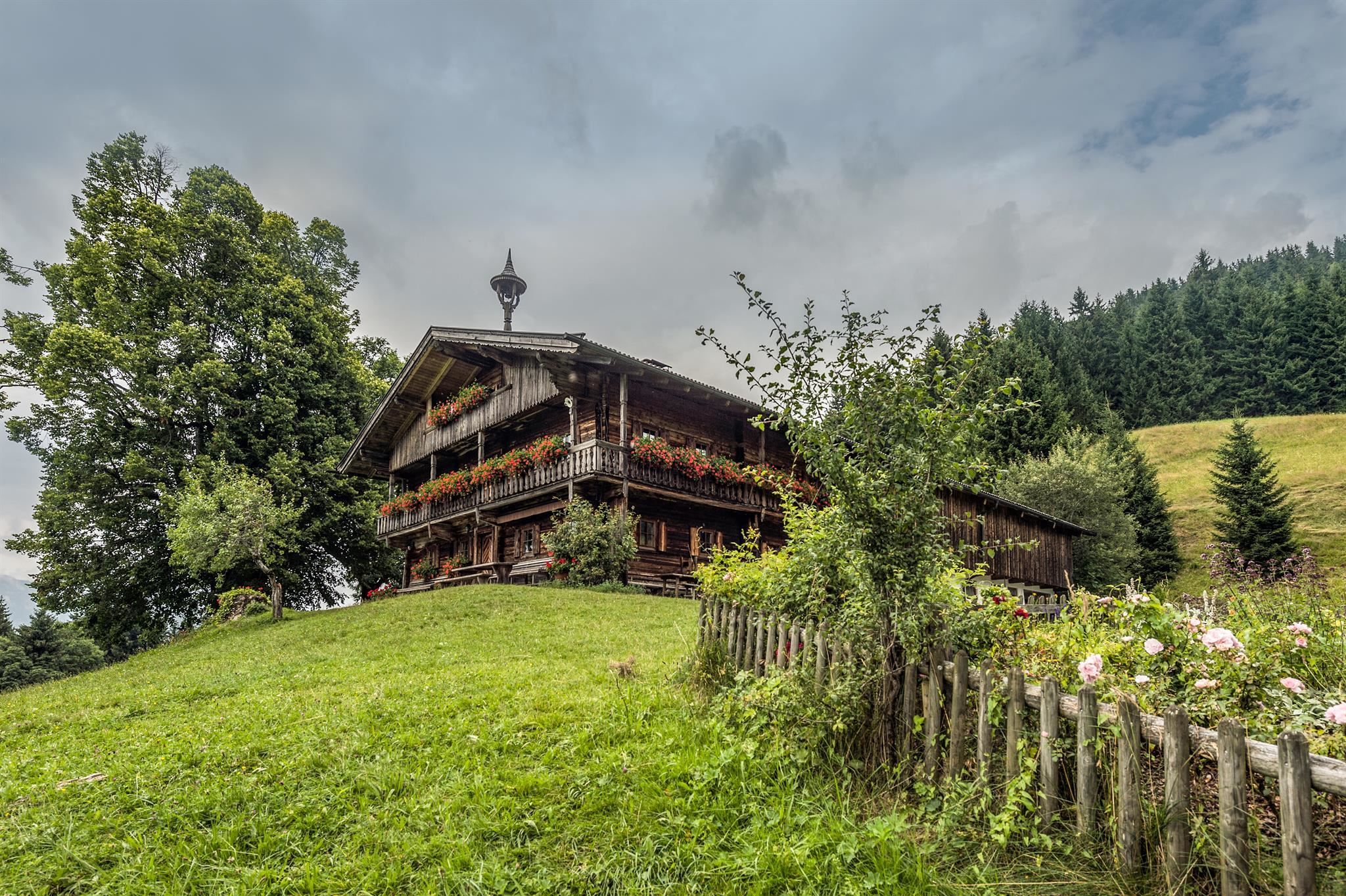






















Curated by Wilder Kaiser Tourismus
Söll
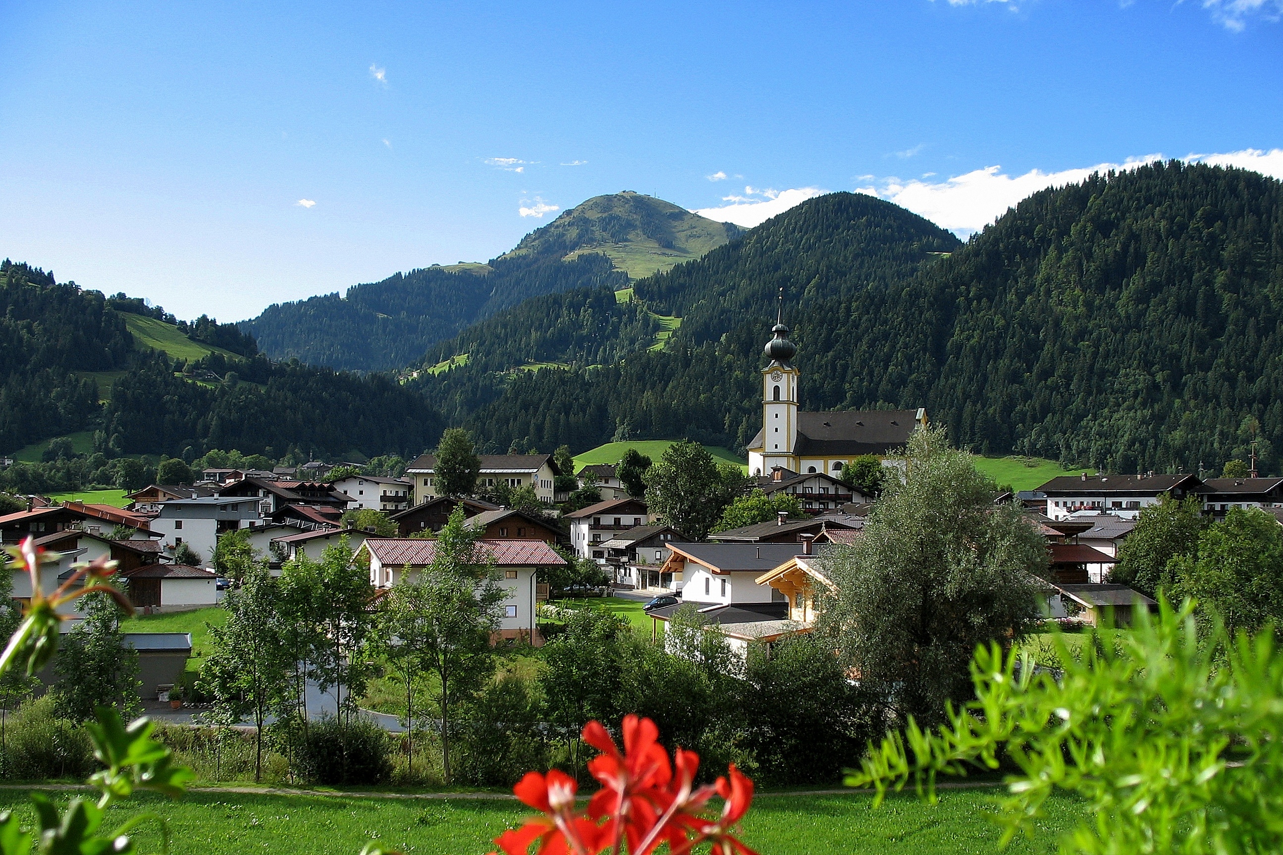
The main village of the Sölllandl between the Wilder Kaiser and the Hohe Salve, a SkiWelt hub with the Hexenwasser water-play mountain above.
Photo: Jaap Kievit · CC BY 3.0 licence
- 41Highlights
- 91Routes
- Featured summit · Hohe Salve
Highlights
The 20 highest-rated · see the rest on wilderkaiser.info ↗
Ahornsee Söll
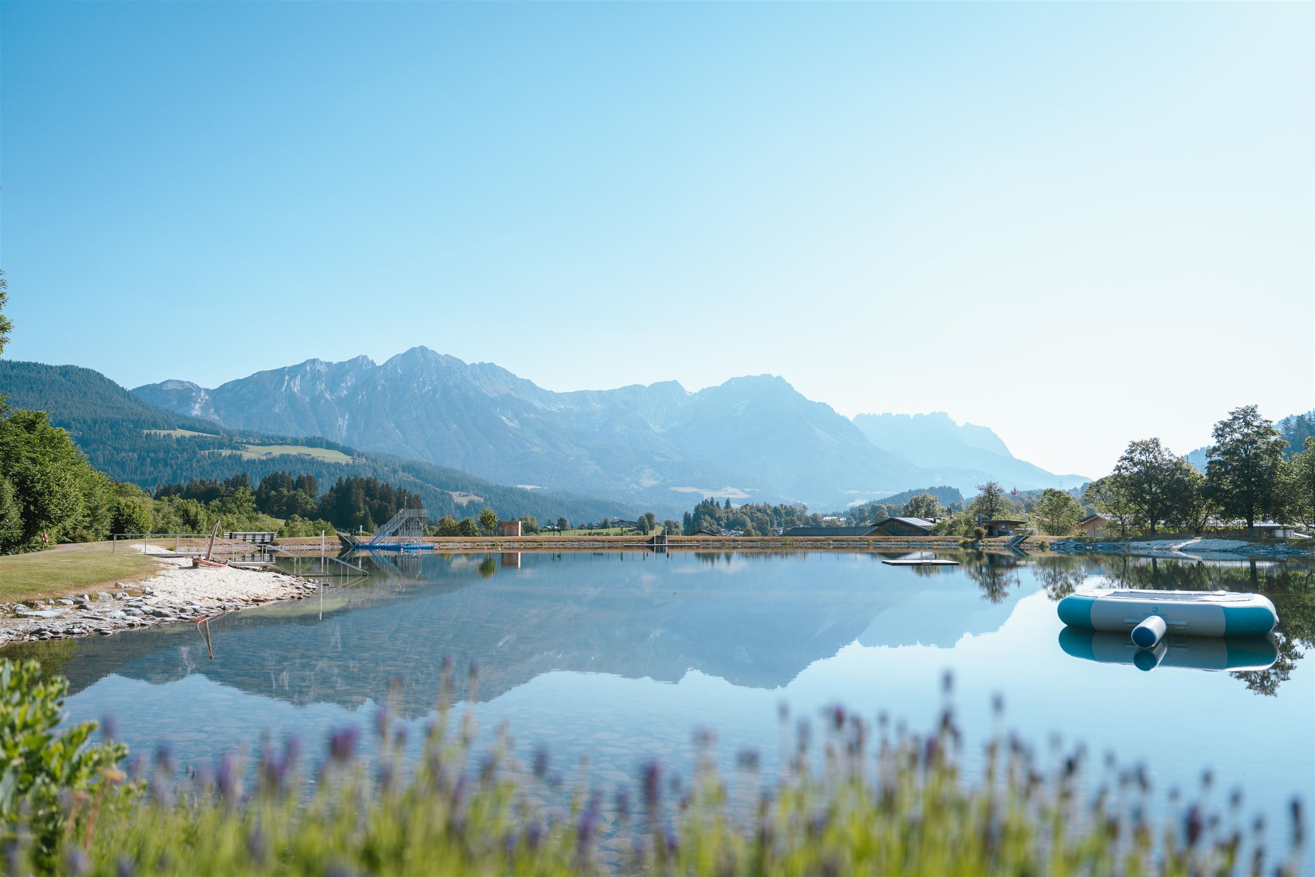
A bathing lake at Söll below the Wilder Kaiser, with beach volleyball and a playground, a family swimming spot in the SkiWelt village.
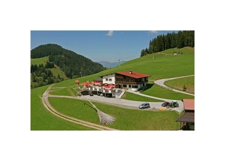
Alpengasthaus Stallhäusl
An alpine guesthouse above Söll at the western edge of the Kufsteinerland, a rustic stop for walkers with home-style Tyrolean cooking.
Alpengasthof Hochsöll
An alpine inn at Hochsöll, the mid-mountain area of the Söll gondola, serving regional cooking to skiers and walkers.
Au Alm Skihütte
A ski hut on the Söll side of the SkiWelt, serving regional dishes to skiers in winter and walkers in the warmer months.
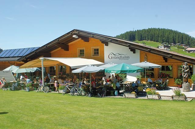
Gründlalm
A pasture hut above Söll serving regional dishes, a refreshment stop on the trail network between the village and Hochsöll.
Neualm
A pasture hut above Söll listed among the region's accessible huts, serving regional dishes on the SkiWelt walking terrain.
Oberhausberg
A farmhouse hut on the slopes west of Söll, serving regional dishes with views over the village towards the Wilder Kaiser.
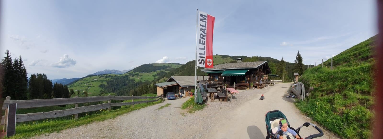
Silleralm
A pasture hut on the Söll side of the SkiWelt slopes, serving regional dishes at the edge of the pistes and summer trails.
Stöcklalm
An accessible alm restaurant on the Söll slopes with a garden terrace and après-ski bar, serving regional dishes beside the SkiWelt pistes.
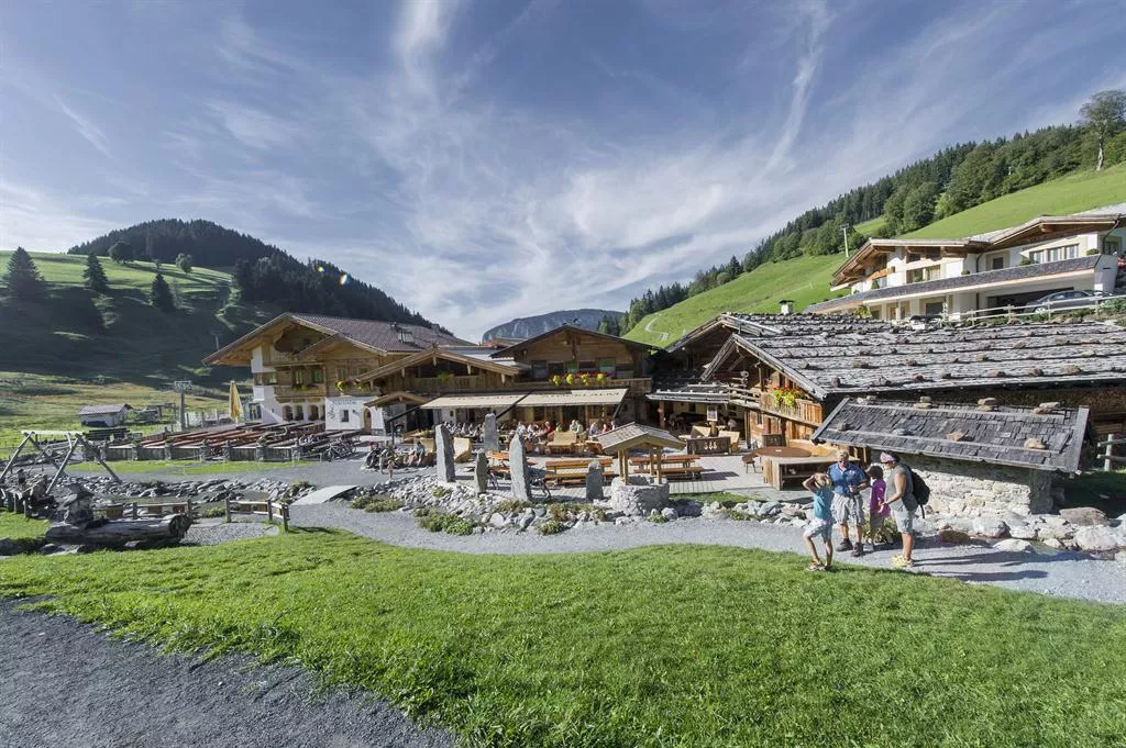
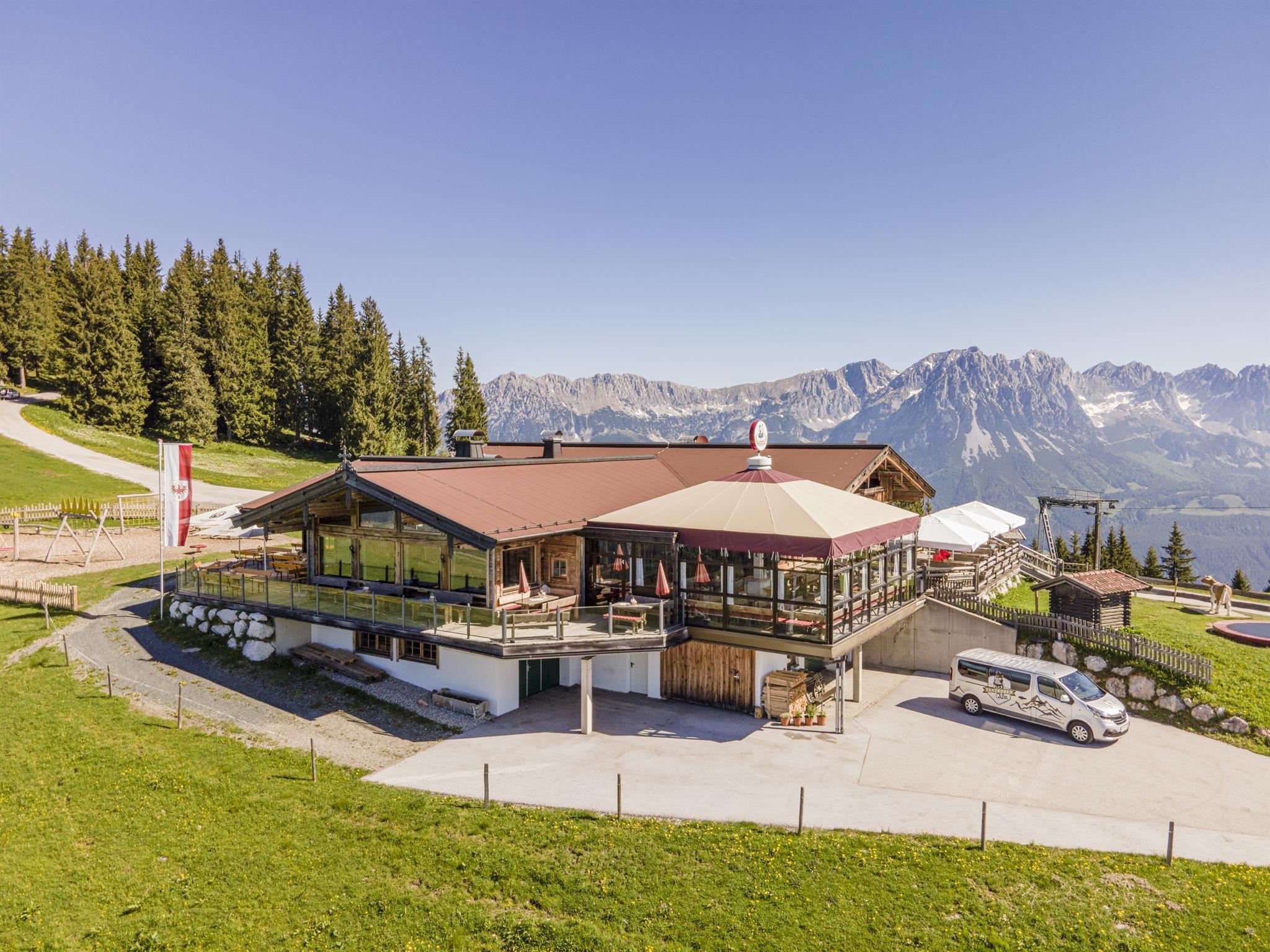
Tanzbodenalm
A pasture hut whose name means 'dancing-floor alm', serving regional and international dishes on the slopes between Söll and Ellmau.
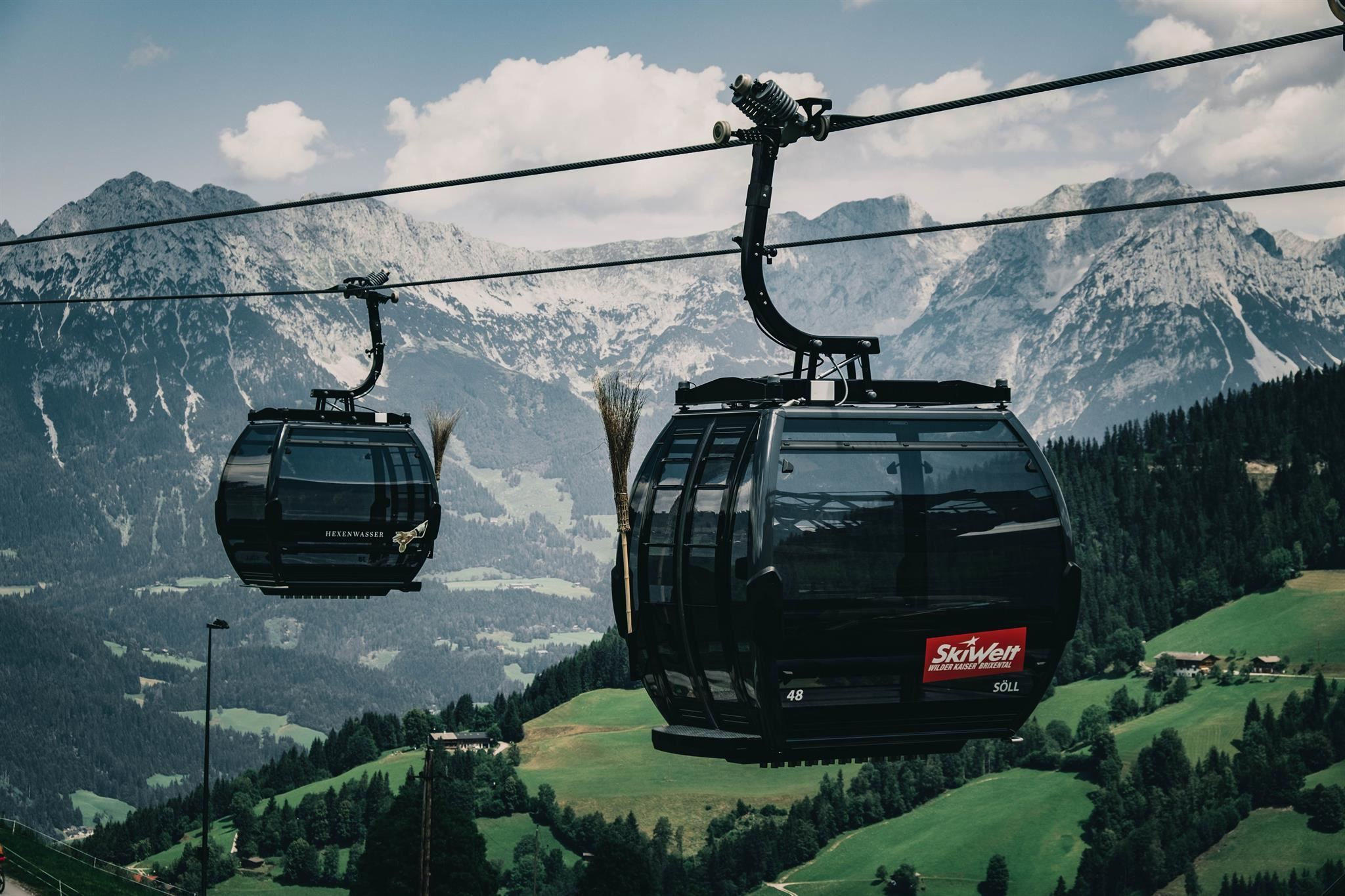
Bergbahnen Söll - Hexenwasser & Hohe Salve
The gondola from Söll at 690 m to Hochsöll, base for the Hexenwasser play world and the onward connection to the Hohe Salve summit.
Drehort - Der Gruberhof
A farm near Söll that appears as the Gruberhof, the family home in the TV series Der Bergdoktor, and can be seen on film-location walks.
Nico's Trekking Farm
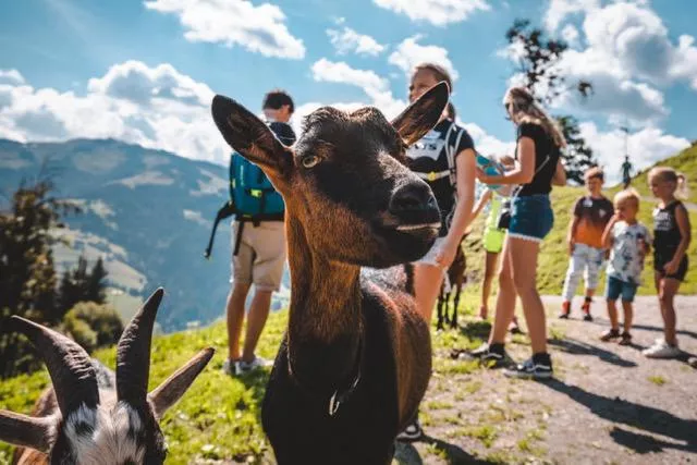
A small animal farm at Söll offering guided trekking walks with its animals through the meadows below the Hohe Salve.
Zauberteppich
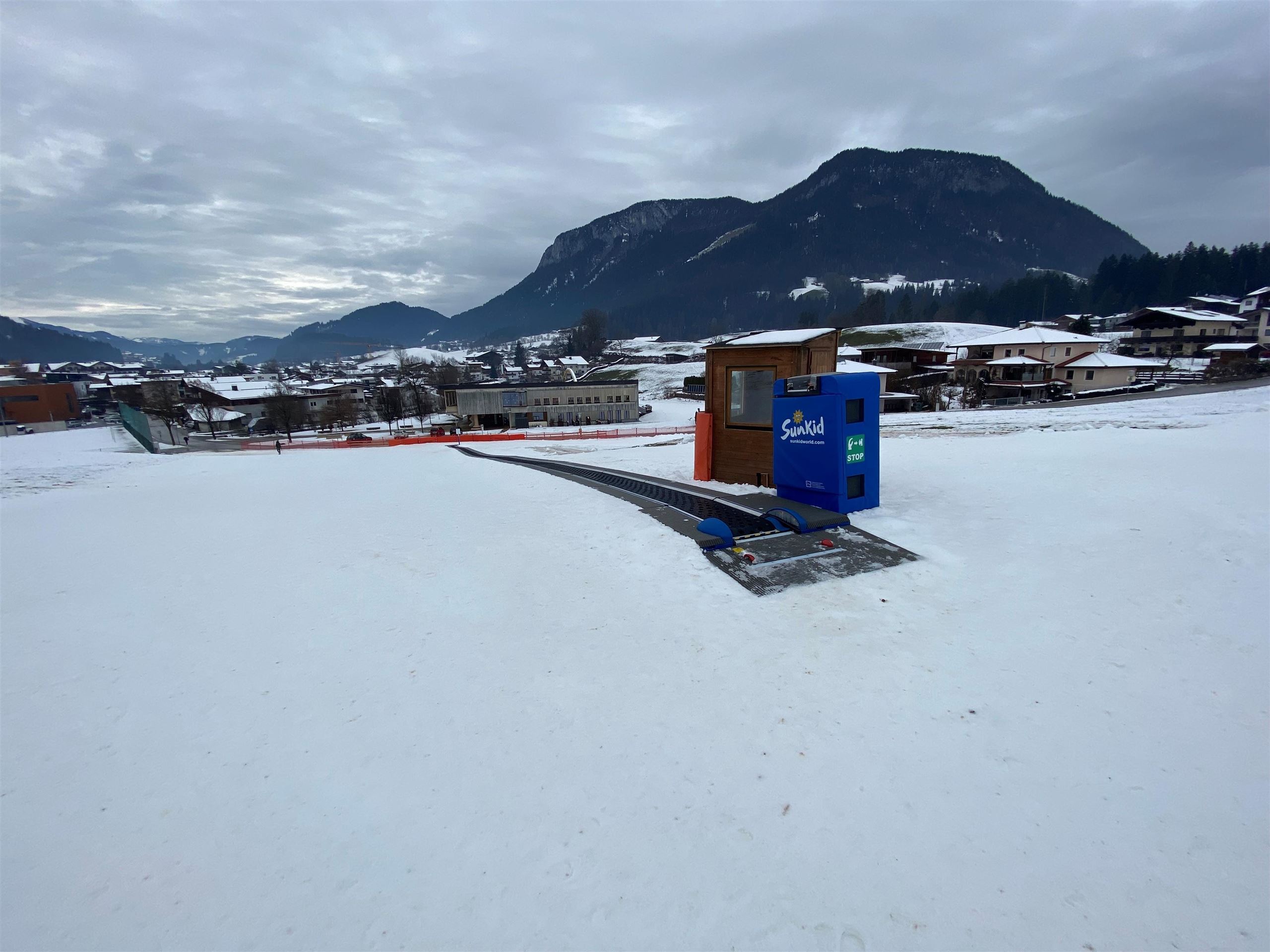
A 'magic carpet' conveyor lift on the nursery slopes at Söll, carrying beginner skiers slowly uphill without a tow.
Hexenwasser Söll
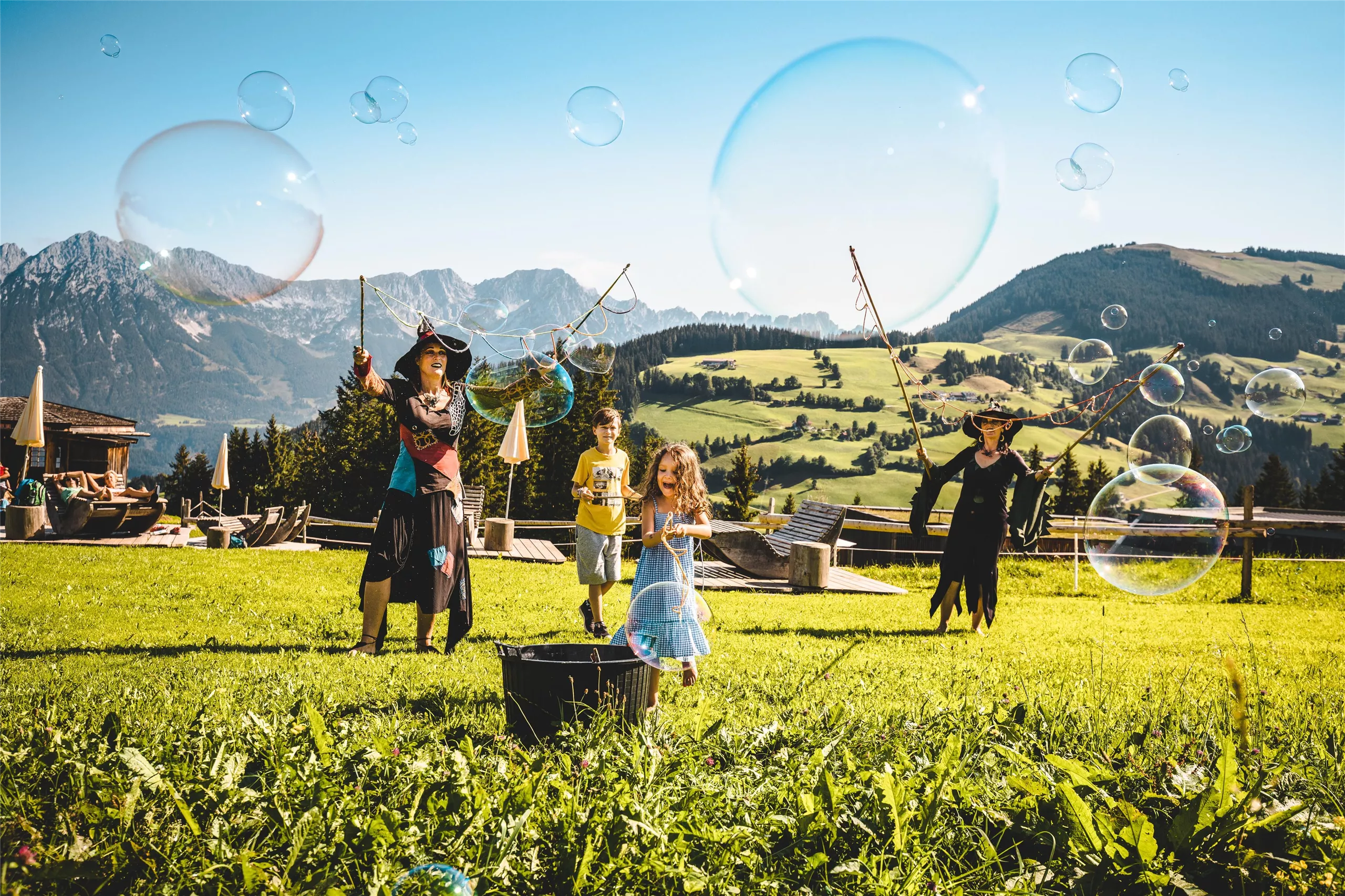
A witch-themed water play world at Hochsöll above Söll, with barefoot trails and dozens of water stations along the mountainside.
Natur Parkour
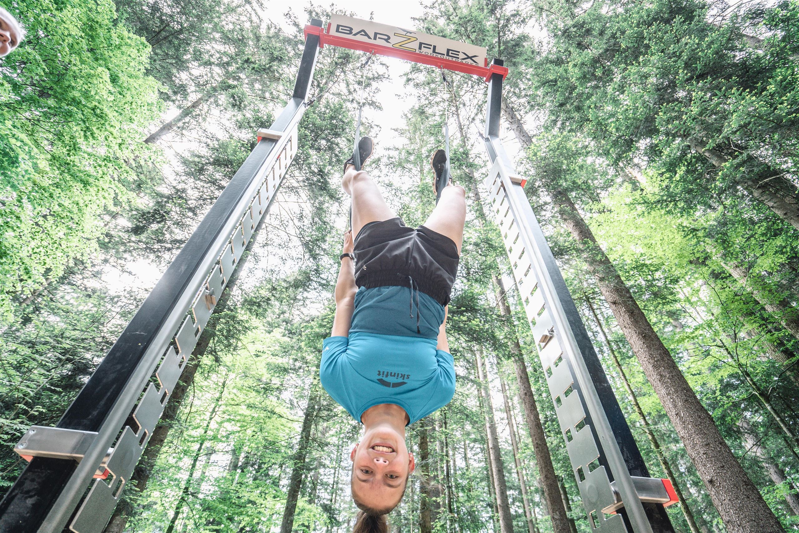
An outdoor exercise course at Söll using natural obstacles such as logs, stones and slopes for balance and strength training in the open air.
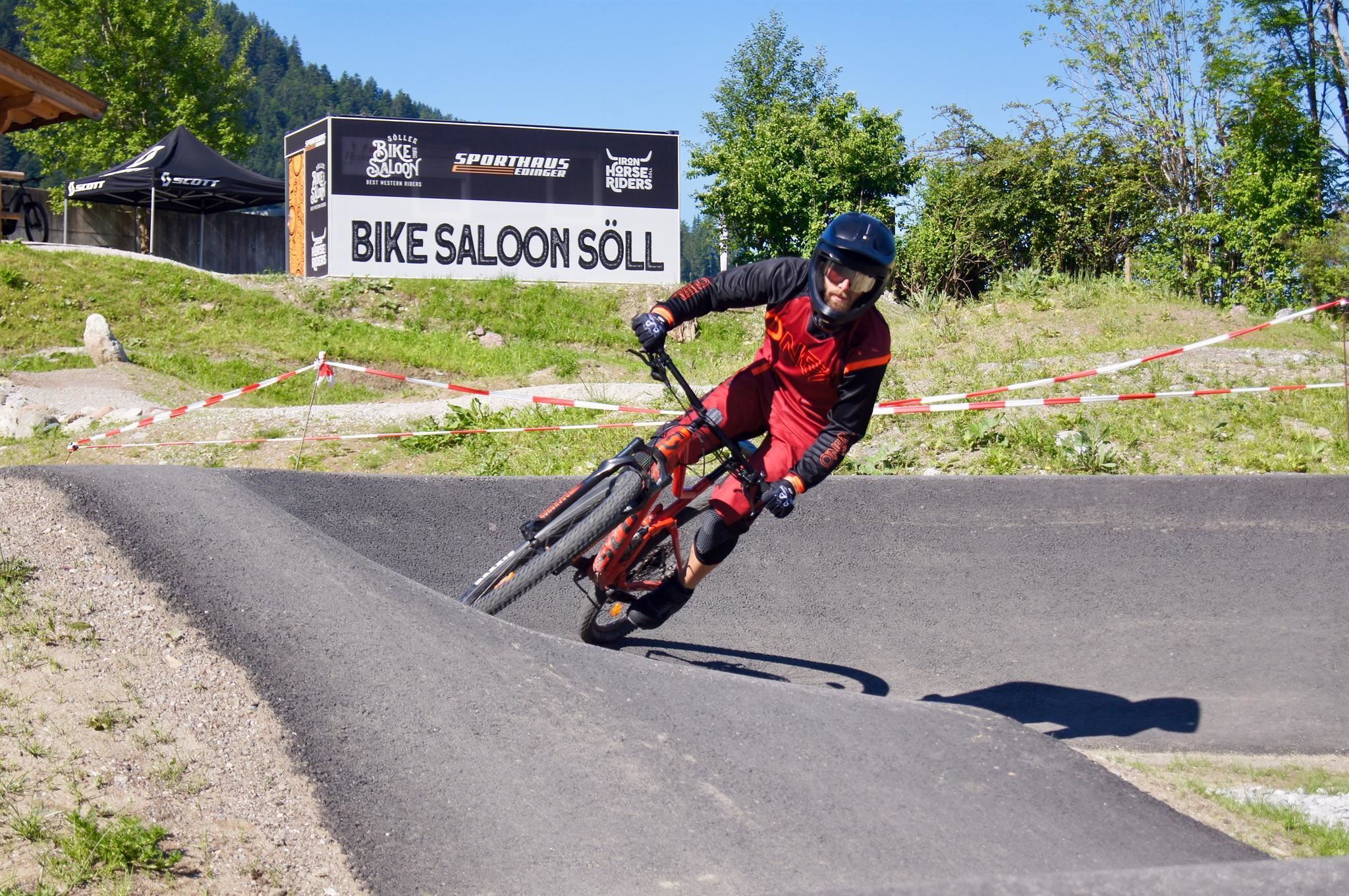
Söller Bike Saloon & Iron Horse Riders
A bike rental and workshop at Söll that also runs guided mountain-bike tours into the SkiWelt hills and the Brixental.
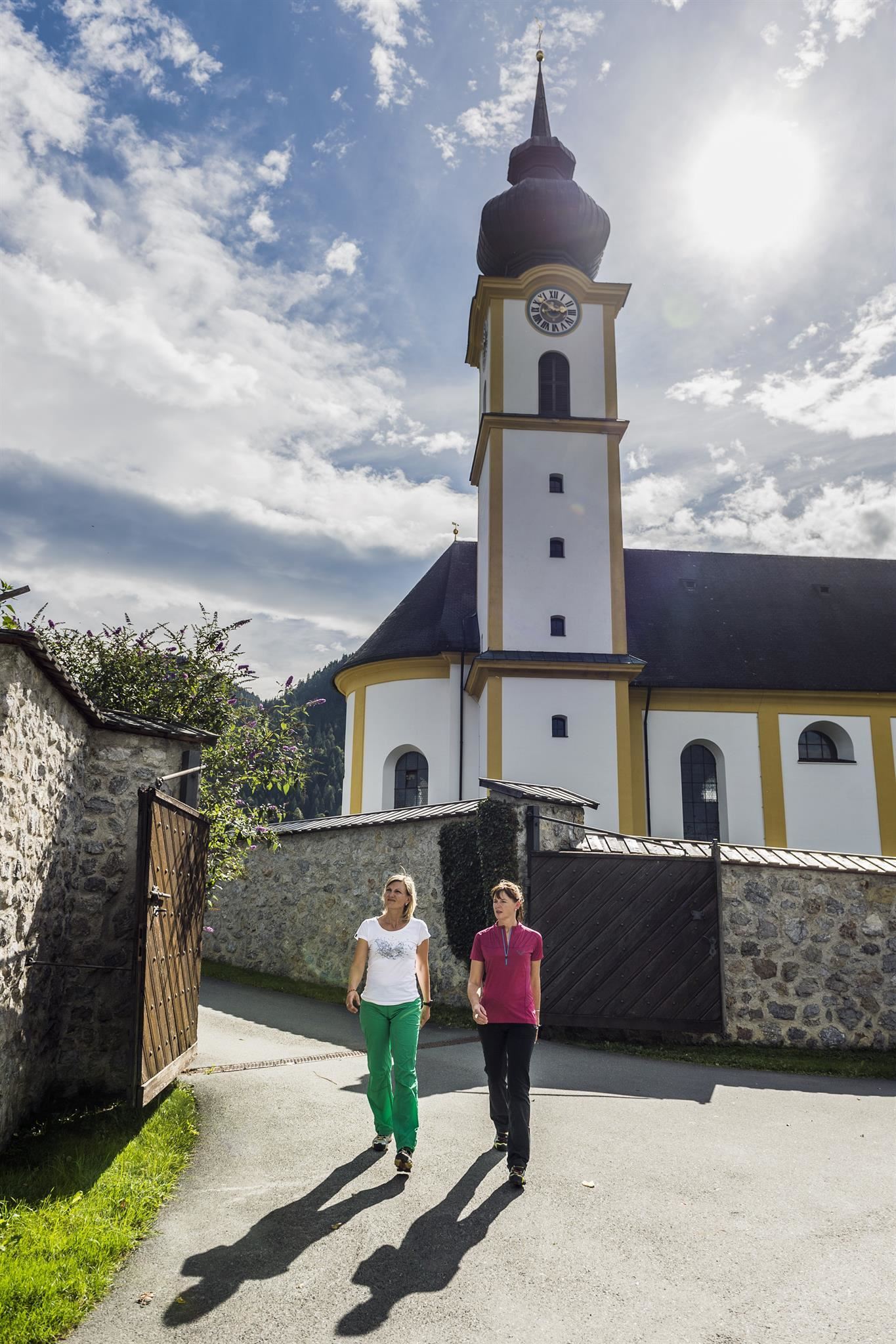
Pfarrkirche Söll "zum Hl. Peter und Paul"
Söll's baroque parish church of Sts Peter and Paul, an 18th-century building whose tower dominates the village at 690 m.
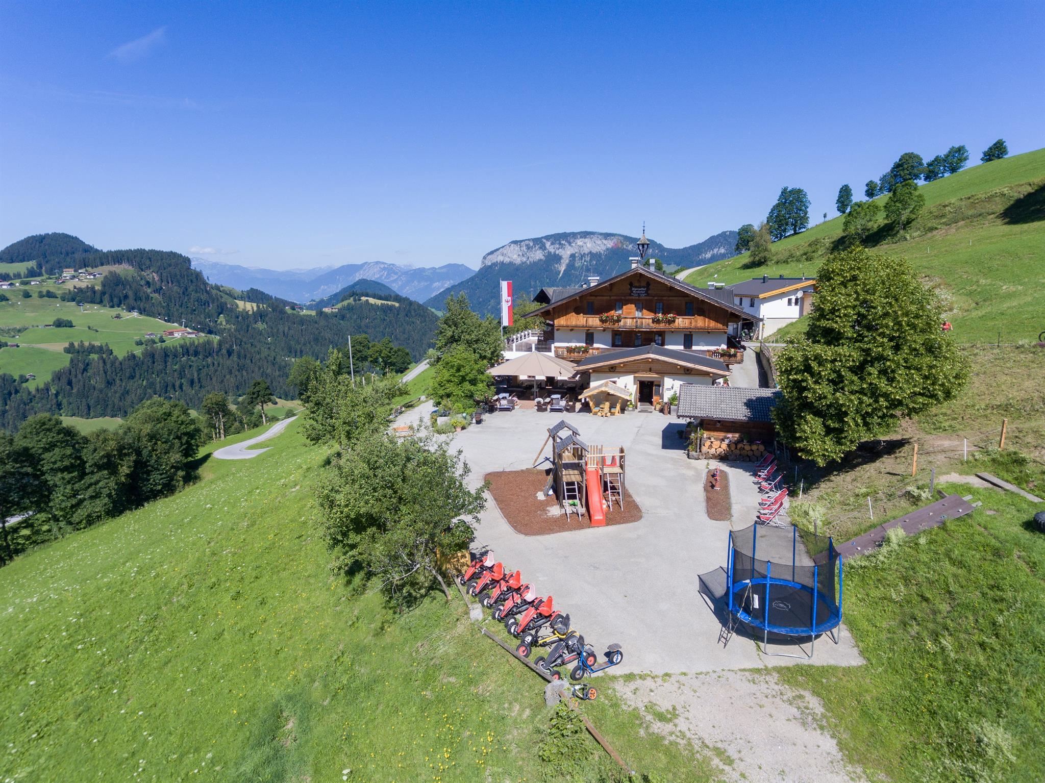
Alpengasthof Gruberhof
An alpine inn on the meadows above Söll, serving regional and international dishes with a garden terrace facing the Wilder Kaiser.
Alpengasthof Salvenmoos
An alpine inn at Salvenmoos above Söll with a garden terrace, serving regional and international dishes; listed as accessible by the region.
Nothing of this kind in Söll.
Routes
50 routes, an even mix of activities · see the rest on wilderkaiser.info ↗
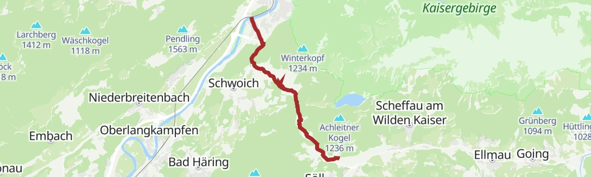
Umgebung: Prof.-Sinwel-Steig
Cabled route named after the local historian Prof. Sinwel and also called the Lengerer Steig, climbing over the Mittagskogel to the Großer Pölven above the Inntal.
- 13.0 km
- Distance
- 1 203 m
- Ascent
- 9 h 31 min
- Duration
- 10
- Check-ins
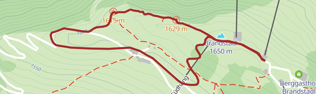
Panoramarunde Brandstadl-Hartkaiser
Family-friendly high-level link along the panorama path from the Brandstadl above Scheffau to the Hartkaiser above Ellmau.
- 6.3 km
- Distance
- 173 m
- Ascent
- 1 h 54 min
- Duration
- 102
- Check-ins
Rundwanderung Hexenwasser
A loop from Hochsoell's witch-themed water park up to the Gipfelalm on the Hohe Salve, whose summit chapel and wide Kaiser panorama reward the climb, then down past the Kraftalm.
- 12.0 km
- Distance
- 781 m
- Ascent
- 5 h 17 min
- Duration
- 184
- Check-ins
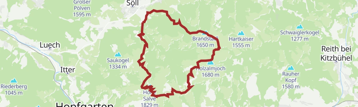
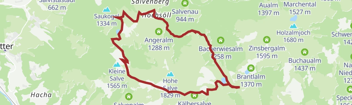
Kaiserblüte - Etappe Alm (Hochsöll-Brandstadl)
A 23 km pasture stage past traditional huts, flowering meadows and small mountain lakes, over the Zinsberg and the Brandstadl up to the Hohe Salve.
- 23.4 km
- Distance
- 1 579 m
- Ascent
- 10 h 36 min
- Duration
- 250
- Check-ins
Söll - Stallhäusl
An easy forest-road climb out of the village up to the hut at 972 m on the wooded hillside to the west of Söll.
- 6.2 km
- Distance
- 309 m
- Ascent
- 44 min
- Duration
- 9
- Check-ins
MTB-Tour 350 & 265 Söll-Filzalmsee/Hochbrixen
A climb on service roads from the village to the small moor lake at the top station, by way of the Vordertagleitenhof and the Siller Alm.
- 8.8 km
- Distance
- 666 m
- Ascent
- 1 h 14 min
- Duration
- 29
- Check-ins
MTB-Tour um den Achleitberg
A forest-road circuit from Ellmau linking the Walleralm, the Stöfflhütte and the Kafma Alm, all a little above 1,150 m.
- 23.5 km
- Distance
- 637 m
- Ascent
- 2 h 41 min
- Duration
- 54
- Check-ins
28 | Eibergradweg
A short climbing cycle route out of Söll towards the Inn valley, passing the Gasthof Oberstegen on the way over the saddle.
- 10.6 km
- Distance
- 313 m
- Ascent
- 1 h 14 min
- Duration
- 3
- Check-ins
Rennrad 08 Pölvenrunde
A long road circuit from the lower Inn valley over to Hopfgarten in the Brixental, returning by Mariastein and Angerberg.
- 82.2 km
- Distance
- 1 004 m
- Ascent
- 8 h 14 min
- Duration
- 50
- Check-ins
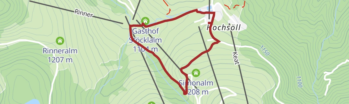
Marktplatz Wanderung zur Stöcklalm
A 1.7 km family walk in Hochsöll to the Gasthof Stöcklalm, laid out around places to stop and eat.
- 1.7 km
- Distance
- 94 m
- Ascent
- 40 min
- Duration
- 25
- Check-ins
Hohe Salve über KRAFTalm
Short, sharp ascent past the Gasthof Kraftalm to the Hohe Salve, whose summit chapel and 360-degree panorama repay the climb; the Salvistabahn from Itter shortens the approach.
- 6.7 km
- Distance
- 478 m
- Ascent
- 3 h 10 min
- Duration
- 148
- Check-ins
SkiWelt Panoramaweg
Nearly 29 km of high-level walking across the SkiWelt from the Hartkaiser to the Zinsberg, with the summer gondolas taking out much of the climbing.
- 28.8 km
- Distance
- 989 m
- Ascent
- 9 h 18 min
- Duration
- 175
- Check-ins
MTB-Tour 364 Walleralm
A short forest-road climb from Scheffau to the cluster of huts at about 1,150 m, with the Stöfflhütte and the Kafma Alm side by side.
- 7.9 km
- Distance
- 541 m
- Ascent
- 1 h 20 min
- Duration
- 27
- Check-ins
Bergdoktor E-Bike Tour
A long forest-road tour from Ellmau through Going, taking in the Bärnstattalm, the Sojerhof and the Jausenstation Goingstätt.
- 50.9 km
- Distance
- 1 013 m
- Ascent
- 5 h 28 min
- Duration
- 49
- Check-ins
06A - Variante Hochtal-Runde
A tougher variant of the Wildschönau circuit, adding height on the way to the Schönangeralm and passing the Feldalm and Gasthof Oberstegen.
- 80.7 km
- Distance
- 1 715 m
- Ascent
- 8 h 47 min
- Duration
- 36
- Check-ins
Erlebnis-Winterwanderweg Hexenwasser
Easy winter stroll through the snowed-up Hexenwasser at Hochsöll, looking across to the Hohe Salve.
- 2.0 km
- Distance
- 67 m
- Ascent
- 38 min
- Duration
- 22
- Check-ins
Von der KaiserWelt zum Hexenwasser
Family route from the KaiserWelt over the Zinsberg to the Hexenwasser, with play areas for children and a wide outlook.
- 11.0 km
- Distance
- 178 m
- Ascent
- 3 h 28 min
- Duration
- 92
- Check-ins
Brandstadl Runde
Big loop from the valley up to the Brandstadl, visiting the KaiserWelt play area and the Jochstubnsee before descending past the Tanzbodenalm.
- 12.8 km
- Distance
- 1 143 m
- Ascent
- 5 h 24 min
- Duration
- 69
- Check-ins
 Brandstadl 1 650 m
 Tanzbodenalm 1 594 m
- Berggasthof Brandstadl 1 644 m
 Holzalmjoch 1 641 m
- Waldhof Alm 690 m
 Jochstubnsee 1 638 m
- +5
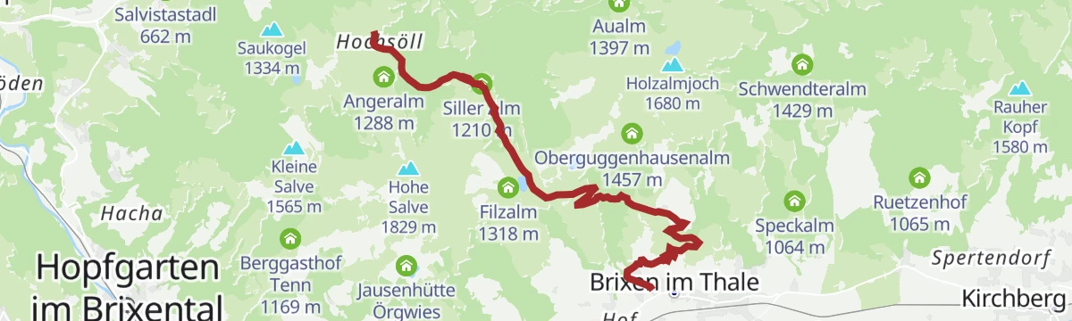
MTB-Tour 265 Hochsöll-Brixen im Thale
A high traverse on ski-area service roads below the Hohe Salve, running past the Gründlalm, the Siller Alm and the Poitalm.
- 9.2 km
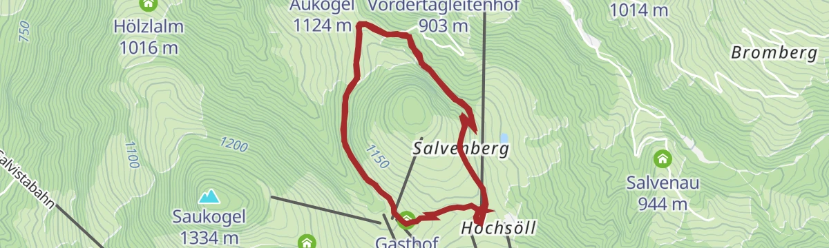
- Distance
- 198 m
- Ascent
- 1 h 8 min
- Duration
- 24
- Check-ins
MTB-Tour um die Hohe Salve
A long circuit around the central peak of the SkiWelt, running over to Hopfgarten and back past the SkiWelt Hütte and the Gründlalm.
- 36.5 km
- Distance
- 877 m
- Ascent
- 4 h 4 min
- Duration
- 48
- Check-ins
19 - Kurzer und Langer Grund
A long road tour from Kufstein up to Hopfgarten and into the side valleys behind it, crossing the Wegscheid at 1,142 m.
- 83.0 km
- Distance
- 1 792 m
- Ascent
- 9 h 3 min
- Duration
- 33
- Check-ins
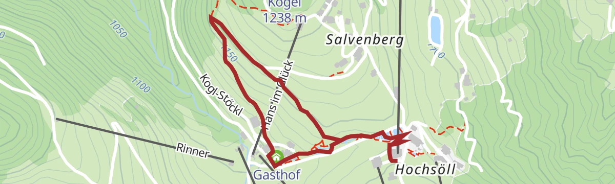
Winterwanderweg Koglrunde
Groomed winter loop at Hochsöll reached by gondola, linking the Gründlalm, Stöcklalm and Alpengasthof Hochsöll with the Hohe Salve ahead.
- 5.7 km
- Distance
- 150 m
- Ascent
- 1 h 45 min
- Duration
- 22
- Check-ins
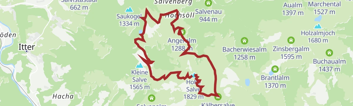
Um die Hohe Salve
Rather than climbing the summit, this route from Brixen im Thale circles the Hohe Salve at mid-height, linking the Kraftalm, Gruendlalm and Stoecklalm with steady long-range views.
- 12.2 km
- Distance
- 587 m
- Ascent
- 4 h 21 min
- Duration
- 62
- Check-ins
Kaiserlift Tourentipp 3: Walleralm
Longest of the Kaiserlift tour tips, continuing beyond the Kaindlhütte to the Walleralm and Stöfflhütte along the Wilder Kaiser's grassy western flank.
- 18.5 km
- Distance
- 886 m
- Ascent
- 6 h 34 min
- Duration
- 66
- Check-ins
265 | Hochbrixen-Hochsöll
A high traverse on service tracks between the two lift-served plateaus above Brixen and Söll, passing the Siller Alm and Poitalm.
- 9.2 km
- Distance
- 564 m
- Ascent
- 1 h 28 min
- Duration
- 24
- Check-ins
Über Hochbrixen zum Hexenwasser
A long forest-road ride from Westendorf over the Hochbrixen slopes to Söll, calling at the Gründlalm, the Siller Alm and the Alpengasthof Hochsöll.
- 36.2 km
- Distance
- 991 m
- Ascent
- 4 h 9 min
- Duration
- 48
- Check-ins
21,14 | Salvenradrunde
A long circuit of the Hohe Salve on cycle paths and valley roads, linking the Brixental with Ellmau on the Wilder Kaiser side.
- 53.9 km
- Distance
- 687 m
- Ascent
- 5 h 25 min
- Duration
- 32
- Check-ins
Marktplatz Wanderung zur Silleralm
Short food-minded walk on the Hohe Salve from the gondola to the Siller Alm, with the Gründlalm and Alpengasthof Hochsöll close at hand.
- 4.0 km
- Distance
- 165 m
- Ascent
- 1 h 21 min
- Duration
- 16
- Check-ins
Quellen Wanderweg
Climbs from Söll into the spring country of the Hohe Salve, where the mountain's water rises; inns from the Kraftalm to the Stöcklalm line the round.
- 10.3 km
- Distance
- 520 m
- Ascent
- 3 h 48 min
- Duration
- 54
- Check-ins
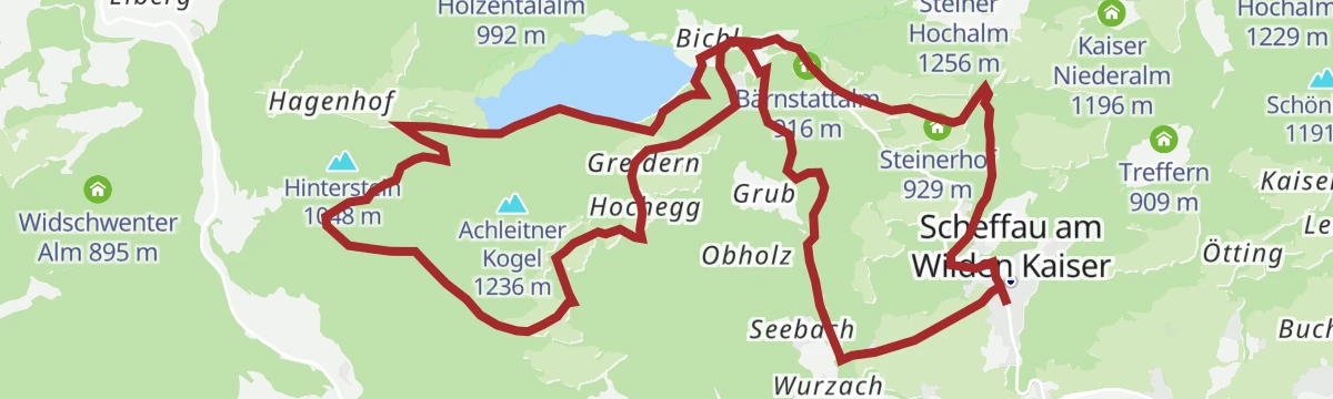
Rund um den Achleitberg
A 17.9 km round on varied paths about the Achleitberg, taking in the Bärnstattalm, the Resl-Alm and the cliff-jumping spot at the Hintersteiner See.
- 17.9 km
- Distance
- 589 m
- Ascent
- 5 h 39 min
- Duration
- 26
- Check-ins
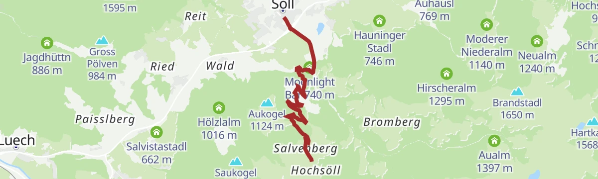
MTB-Tour 350 Söll-Hochsöll
A direct forest-road ascent beside the gondola line, gaining 480 m from the village to the Alpengasthof at the middle station.
- 5.1 km
- Distance
- 476 m
- Ascent
- 48 min
- Duration
- 17
- Check-ins
Marktplatz Radtour
A long, gently graded tour on tracks and back roads between the villages below the Wilder Kaiser, from Scheffau past the Bärnstattalm.
- 52.4 km
- Distance
- 1 003 m
- Ascent
- 5 h 35 min
- Duration
- 37
- Check-ins
7 Rund um die Hohe Salve
A valley-road loop right around the Hohe Salve massif, running by way of Kitzbühel, Ellmau and Hopfgarten in the Brixental.
- 57.5 km
- Distance
- 765 m
- Ascent
- 5 h 49 min
- Duration
- 31
- Check-ins
Sunnseit Weg (kurz - ab Wanderstartplatz Alpenschlössl)
Short sun-side leg from the Alpenschlössl trailhead that borrows a stretch of the Lengauer Besinnungsweg, climbing steeply before joining the main sunny-side path.
- 5.7 km
- Distance
- 341 m
- Ascent
- 2 h 21 min
- Duration
- 11
- Check-ins
Wasserfall-Hölzl Alm Runde
Steep little round above Söll past snack stations to a waterfall, crossing unmanaged alms toward the Hexenwasser area; return on foot or by gondola.
- 5.6 km
- Distance
- 512 m
- Ascent
- 2 h 25 min
- Duration
- 31
- Check-ins
Kaiserblüte - Etappe Wald
Forest stage of the Kaiserblüte route: a long, shaded day among moss, resin scent and every shade of green, touching the Stallhäusl and the Jagdhüttn.
- 21.6 km
- Distance
- 912 m
- Ascent
- 7 h 19 min
- Duration
- 12
- Check-ins
Drei-Käse-Hochtour
A steep forest-road climb from Söll up to the dairies at around 1,500 m, reaching the Au-Hochalm and the Skihütte Marchental.
- 9.0 km
- Distance
- 861 m
- Ascent
- 1 h 27 min
- Duration
- 12
- Check-ins
MTB-Tour 348 Brandstadlrunde
A long forest-road circuit around the ridge between Söll and Ellmau, passing the Hexenalm and the KaiserStation above the valley.
- 28.1 km
- Distance
- 938 m
- Ascent
- 3 h 23 min
- Duration
- 33
- Check-ins
8 Rund um den Wilden Kaiser
A long road circuit of the Wilder Kaiser from Ellmau, running out to Walchsee and back by way of Kitzbühel and the Ellmauer Alm.
- 87.9 km
- Distance
- 1 199 m
- Ascent
- 8 h 56 min
- Duration
- 31
- Check-ins
Schattseit Runde kurz
Easy shaded loop past the Ahornsee and the Hexenalm, with the rock walls of the Wilder Kaiser filling the skyline for much of the way.
- 4.8 km
- Distance
- 122 m
- Ascent
- 1 h 25 min
- Duration
- 9
- Check-ins
Walleralm Rundtour
Round tour to the Walleralm, a cluster of huts on the Wilder Kaiser's western shoulder, taking in the Stöfflhütte; regional buses serve the start from Kufstein.
- 11.2 km
- Distance
- 779 m
- Ascent
- 5 h 12 min
- Duration
- 29
- Check-ins
Schattseit Winterrunde
Long winter round on the shaded side of the Söll basin, passing the Ahornsee and Scheffau's tourist office — flat kilometres for unhurried walking.
- 15.1 km
- Distance
- 317 m
- Ascent
- 4 h 15 min
- Duration
- 6
- Check-ins
- Kneipp-Becken 741 m
- Tourist Information Scheffau 737 m
- Ahornsee 699 m
- Auhäusl 769 m
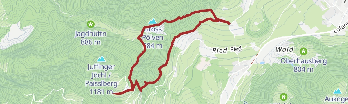
374 | Bad Häring - Söll
A forest-road crossing between Bad Häring and Söll over the wooded ridge, passing the Jagdhüttn and the Stallhäusl.
- 8.7 km
- Distance
- 497 m
- Ascent
- 1 h 20 min
- Duration
- 11
- Check-ins
Salvenradrunde
A long, mostly flat circuit of the Hohe Salve on valley roads, linking Westendorf, Brixen im Thale and Ellmau at around 800 m.
- 62.4 km
- Distance
- 644 m
- Ascent
- 6 h 9 min
- Duration
- 23
- Check-ins
Salvenradrunde
A road and cycle-path round of the Hohe Salve from Hopfgarten, passing the Ellmauer Alm and the Waldhof Alm on the way.
- 62.7 km
- Distance
- 1 034 m
- Ascent
- 6 h 32 min
- Duration
- 31
- Check-ins
Brandstadl Gipfelkreuz Winterrunde
Short winter walk on the Brandstadl plateau to its summit cross — an easy lap at altitude with panorama in every direction from the top station.
- 1.9 km
- Distance
- 56 m
- Ascent
- 35 min
- Duration
- 8
- Check-ins
Hochsöller Runde
Mid-mountain circuit around Hochsöll's Hexenwasser stations, linking the Stöcklalm, Alpengasthof Hochsöll and Jausenstation Oberhausberg with valley views.
- 7.9 km
- Distance
- 414 m
- Ascent
- 2 h 59 min
- Duration
- 23
- Check-ins
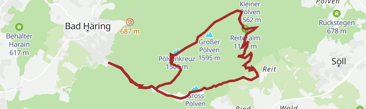
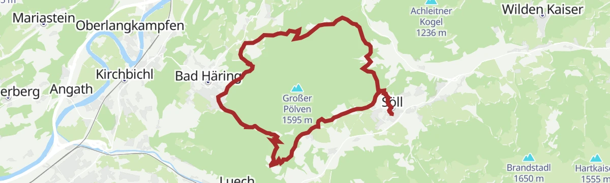
Pölvenrunde
Full circuit of the Pölven, the locals' viewpoint mountain, on forest roads and paths around the Gross Pölven with the Jagdhüttn as a mid-way stop.
- 17.7 km
- Distance
- 705 m
- Ascent
- 5 h 54 min
- Duration
- 4
- Check-ins
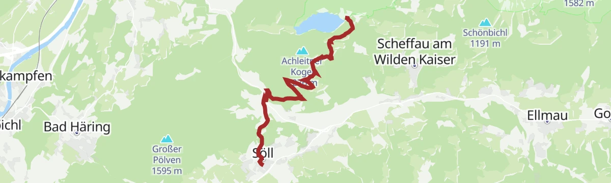
MTB-Tour 349 Söll-Hintersteiner See
A forest-road climb past the Hochegg and Greidern farms to the lake below the Wilder Kaiser, going by the little Moorsee.
- 9.4 km
- Distance
- 415 m
- Ascent
- 1 h 9 min
- Duration
- 4
- Check-ins
- Gasthof Oberstegen 608 m
- Moorsee 671 m
- Hochegg 954 m
- Greidern 920 m
- Schupfen 1 003 m
Sölllandlradrunde
A rolling circuit on farm tracks and quiet lanes linking Scheffau, Ellmau and the villages west of it, past the Ellmauer Alm at 795 m.
- 38.0 km
- Distance
- 547 m
- Ascent
- 3 h 53 min
- Duration
- 21
- Check-ins
No routes of this kind in Söll yet.
The region's own picks

Featured route
Panoramarunde Brandstadl-Hartkaiser
Family-friendly high-level link along the panorama path from the Brandstadl above Scheffau to the Hartkaiser above Ellmau.
Planning a trip to Söll?
Everything else Tyrol has, in one place


Take Söll with you into the mountains
Every route on this page with 3D terrain, GPX navigation and offline maps — including the valleys with no signal.
Data sources
- Official website: wilderkaiser.info ↗
- Routes and highlights: Wilder Kaiser Tourismus, Kufsteinerland, Kitzbüheler Alpen Tourismus, Kitzbühel Tourismus, Kaiserwinkl Tourismus, Alpbachtal Tourismus
- Published as open data by the tourist boards named above.
- Region summary generated from the board's own material.
