
Curated by Innsbruck Tourismus
Sistrans
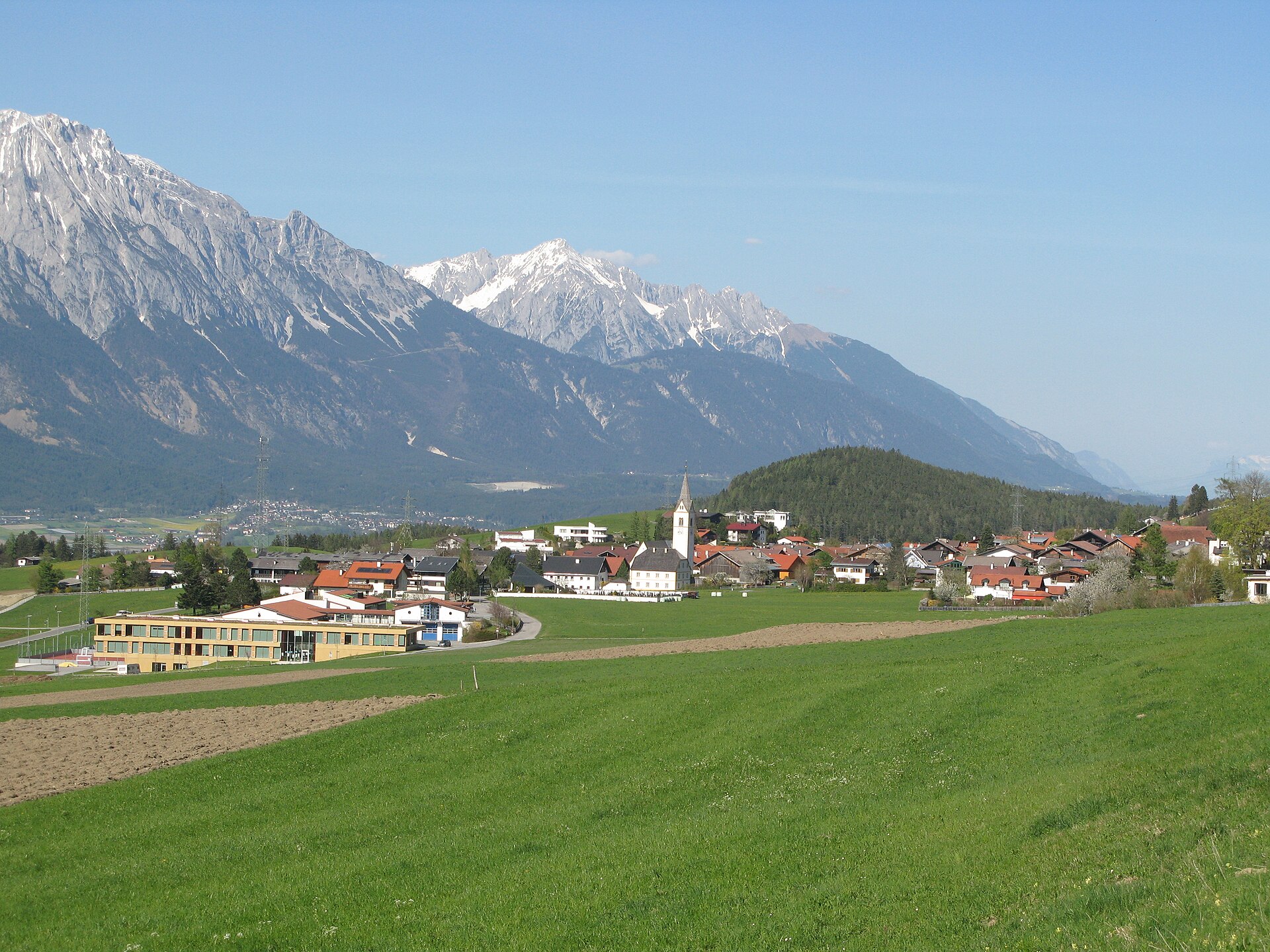
A quiet village at 919 m on the sunny terrace southeast of Innsbruck, its meadows climbing to the Sistranser Alm under the Patscherkofel.
Photo: Alletto · CC BY-SA 3.0 licence
- 15Highlights
- 15Routes
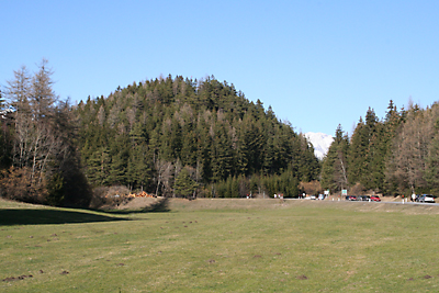
- Featured summit · Grünbichl
Highlights
All 15 from neighbouring places
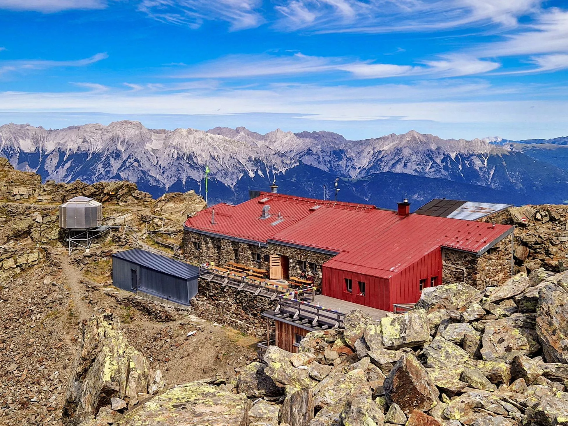
Alpenvereinshütte Meissner Haus
2.3 km away, in Ellbögen
An Alpine Club hut in the Viggartal above Ellbögen, south of Innsbruck, offering meals and beds to walkers below the Glungezer ridge.
Golfclub Innsbruck-Igls - Golfplatz Lans (9-Loch)
3.8 km away, in Lans
A nine-hole course of Golfclub Innsbruck-Igls at Lans (867 m) on the plateau south of the city, played with mountain views.
Archäologielehrpfad Goldbichl
3.6 km away, in Patsch
An archaeological trail on the Goldbichl hill above Igls (870 m), interpreting a prehistoric ritual site excavated on the summit.
Golfclub Innsbruck-Igls- Golfplatz Rinn (18-Loch)
3.7 km away, in Rinn
The 18-hole course of Golfclub Innsbruck-Igls at Rinn (918 m), laid out on the sunny terrace southeast of Innsbruck.
Pfarrkirche St. Johannes
4.3 km away, in Ampass
The parish church of St. John in Ampass (650 m) east of Innsbruck, a village church in the pastoral care of Wilten Abbey.
Schloss Ambras Innsbruck
4.5 km away, in Innsbruck
A Renaissance castle above Innsbruck where Archduke Ferdinand II installed his collections; its Chamber of Art and Curiosities and Spanish Hall survive.
Tulfeinalm
4.6 km away, in Tulfes
An alm near the top station of the Glungezer lifts above Tulfes, serving Austrian dishes to walkers on the Zirbenweg and to winter skiers.
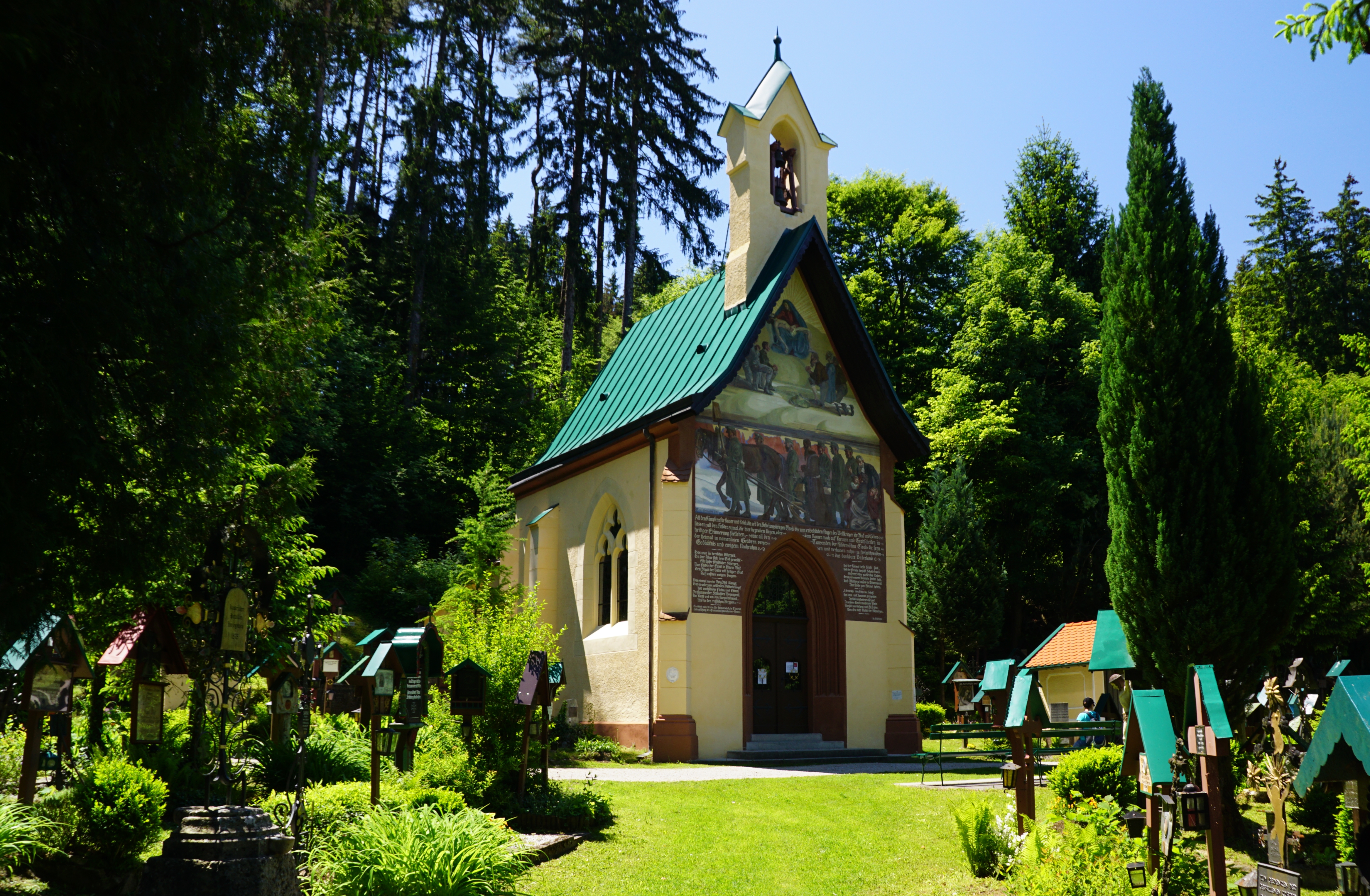
Tummelplatz Historischer Waldfriedhof
4.7 km away, in Innsbruck
A wooded memorial cemetery near Schloss Ambras where soldiers from Innsbruck's garrison hospitals were buried in the Napoleonic era.
Glungezer-Hütte 2610
4.7 km away, in Tulfes
A hut just below the Glungezer summit at 2,610 m above Tulfes, known for home cooking and as a stage on the long Zirbenweg ridge path.
Badesee Rossau (Baggersee) Innsbruck
5.1 km away, in Innsbruck
A former gravel pit in Innsbruck's Rossau district run as a public swimming lake, with lawns and facilities in the summer season.
Hallenbad Olympisches Dorf
5.4 km away, in Rum
An indoor pool in Innsbruck's Olympic Village quarter, serving the east of the city with public swimming through the year.
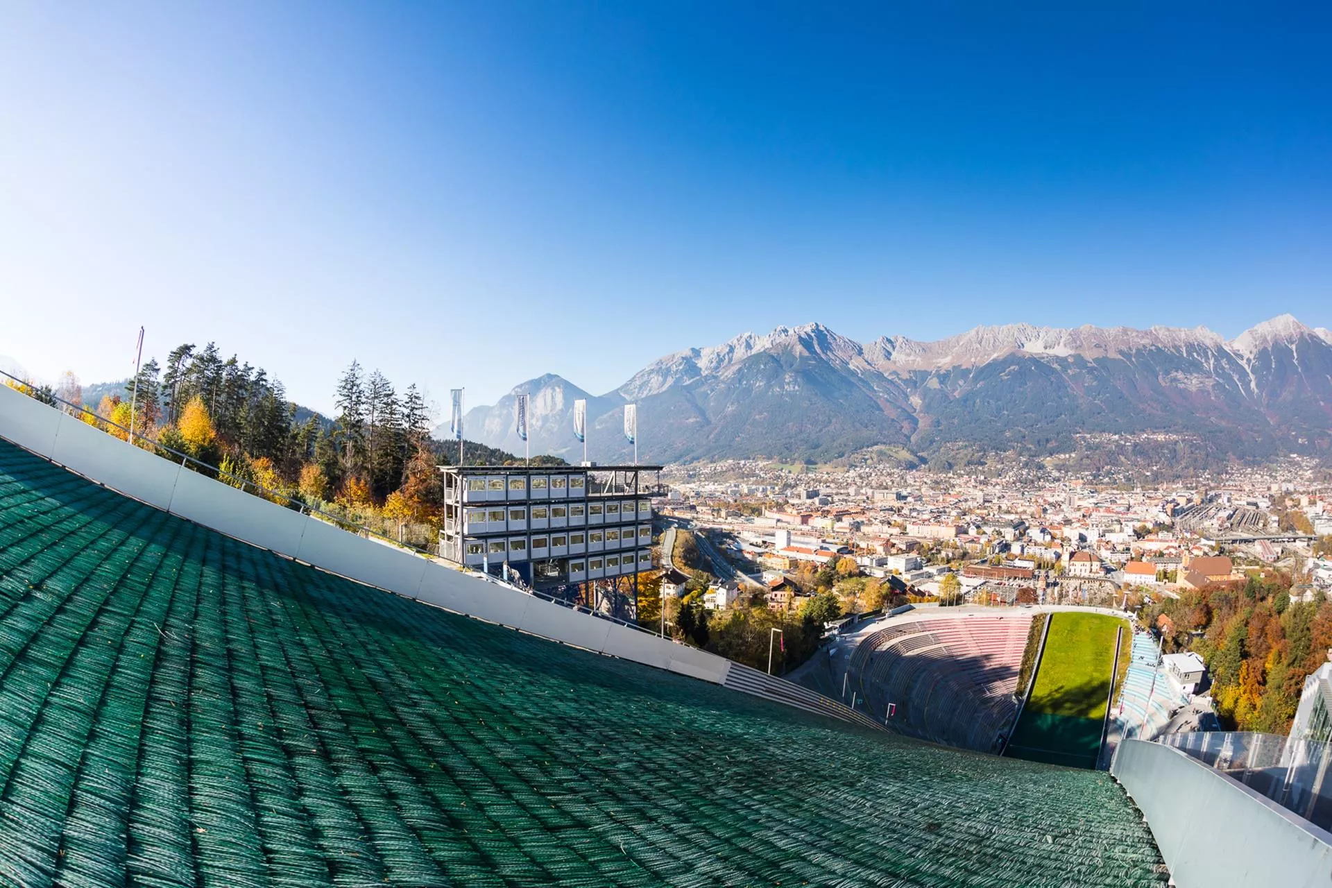
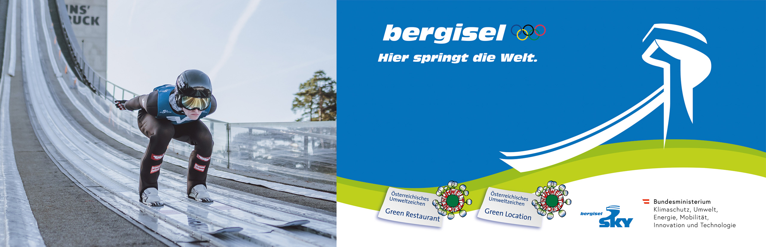
Bergisel Schanze
5.9 km away, in Innsbruck
The ski-jumping hill above Innsbruck, rebuilt in 2002 to a Zaha Hadid design; its tower overlooks the city and the jump hosts a Four Hills Tournament event each January.
Das Tirol Panorama
5.9 km away, in Innsbruck
A museum at Bergisel above Innsbruck built around the giant 360-degree painting of the 1809 Tyrolean uprising led by Andreas Hofer.
Bergisel Sprungschanze
5.9 km away, in Innsbruck
The ski-jumping hill on the Bergisel above Innsbruck, rebuilt to a Zaha Hadid design in 2002 and a fixture of the Four Hills Tournament.
Freibad Tivoli
6.1 km away, in Innsbruck
Innsbruck's large open-air pool complex by the Tivoli grounds, with swimming and diving pools, lawns and a view of the Nordkette.
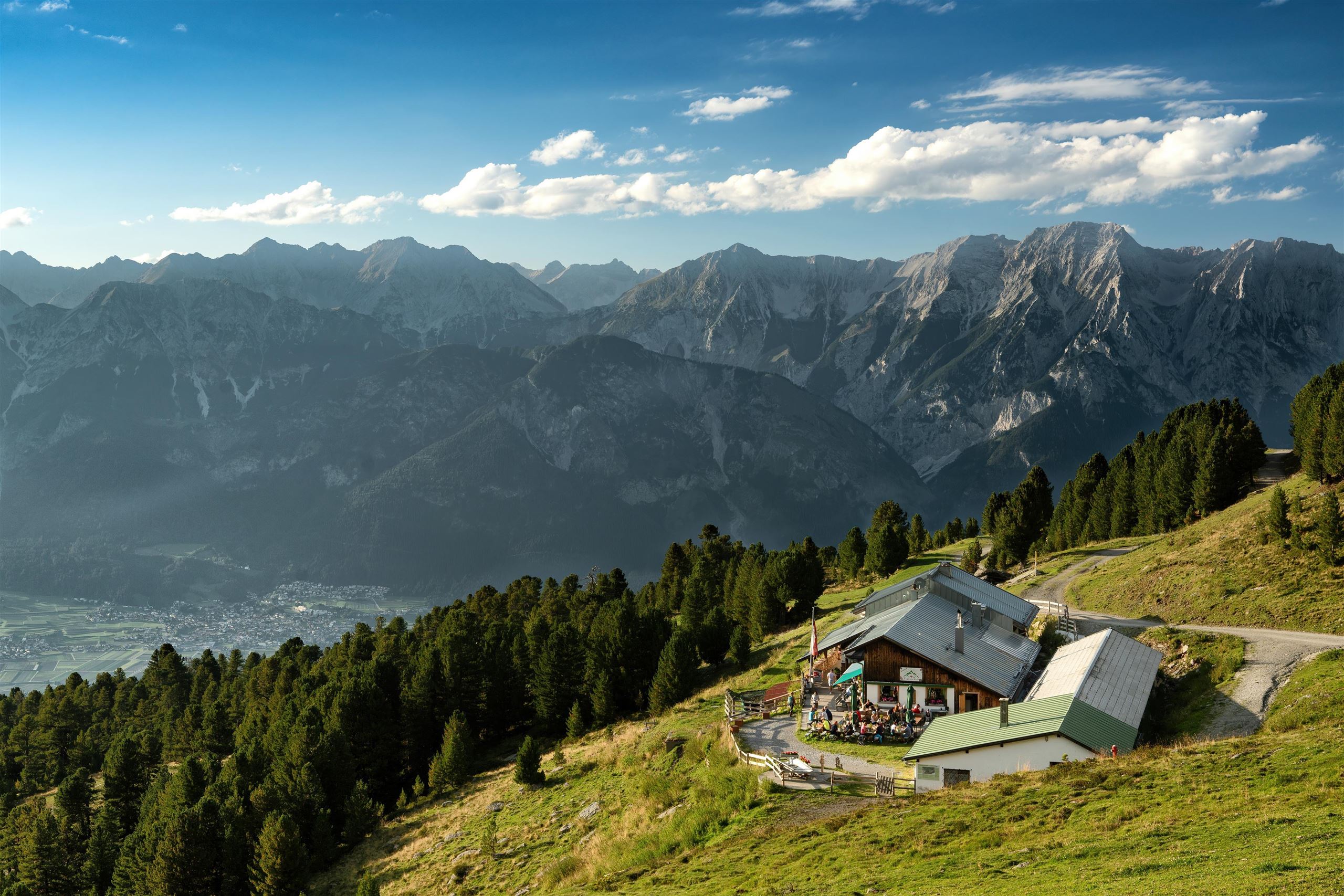
 Mountain hut
 Historic site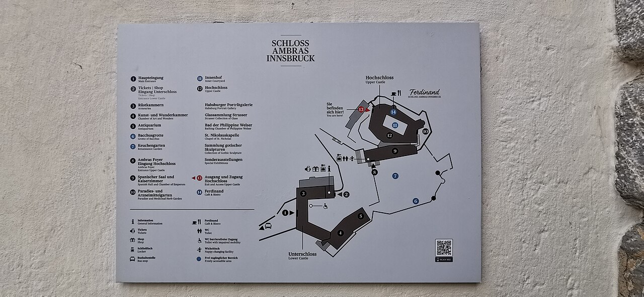
Nothing of this kind in Sistrans.
Routes
Bienenoase
Short family stroll on the edge of Sistrans to a bee-themed oasis, with hives and information boards along a gentle path.
- 1.9 km
- Distance
- 46 m
- Ascent
- 34 min
- Duration
Almenweg 1600 - Etappe 2- Almenweg über dem Inntal
Balcony-trail stage high above the Inntal, stringing together the Patscher, Sistranser, Lanser, Igler and Aldranser alms at around 1,600 m.
- 14.7 km
- Distance
- 552 m
- Ascent
- 4 h 49 min
- Duration
- 16
- Check-ins
Almenweg 1600
Marathon-length alm circuit around the Patscherkofel at roughly 1,600 m, linking the Sistranser Alm and Patscher Alm with Boscheben and the Schutzhaus.
- 26.4 km
- Distance
- 996 m
- Ascent
- 8 h 40 min
- Duration
- 63
- Check-ins
Aldranser Alm (554)
A forest-road climb from the terrace villages east of Innsbruck up to the alm at 1,511 m, and the same way back down.
- 12.7 km
- Distance
- 658 m
- Ascent
- 1 h 48 min
- Duration
- 2
- Check-ins
Transalp - Sektion Hall - Brenner
A cross-Alpine stage that leaves the Inn valley over the Goldbichl at Rinn, then works up the Wipptal past Matrei and Steinach.
- 38.1 km
- Distance
- 935 m
- Ascent
- 4 h 5 min
- Duration
- 10
- Check-ins
Innsbruck Hochplateau Ride
A demanding tour over the terraces above the Inn valley, taking in the Goldbichl and a string of mid-mountain farms and inns.
- 107.7 km
- Distance
- 2 530 m
- Ascent
- 11 h 57 min
- Duration
- 21
- Check-ins
Sistrans - Sistranser Alm
Climb from Sistrans village through forest to the Sistranser Alm, a popular hut on the sunny terrace below the Patscherkofel.
- 9.2 km
- Distance
- 620 m
- Ascent
- 4 h 10 min
- Duration
- 3
- Check-ins
Speckbacherweg
Long trail across the sunny slopes south of Innsbruck between Tulfes and Ellbögen, named after the Tyrolean freedom fighter Josef Speckbacher.
- 16.4 km
- Distance
- 661 m
- Ascent
- 5 h 29 min
- Duration
- 4
- Check-ins
Vital Radweg vom Patscherkofel zum Glungezer - Route Süd
A gently graded mountain-bike route across the wooded terraces on the south side of the Inn valley, southeast of Innsbruck.
- 12.9 km
- Distance
- 220 m
- Ascent
- 1 h 21 min
- Duration
Über die MARTHA Dörfer und das Tulfer Plateau
A round over the mid-mountain villages east of Innsbruck, topping out near Rinn at about 930 m before dropping back to the valley floor.
- 39.5 km
- Distance
- 659 m
- Ascent
- 4 h 7 min
- Duration
- 3
- Check-ins
Rund um Innsbruck
A long road loop over the terraces east of Innsbruck, through Rinn and Ampass and down to the Inn at Fritzens and Wattens.
- 60.6 km
- Distance
- 1 464 m
- Ascent
- 6 h 45 min
- Duration
- 8
- Check-ins
Aldrans - Aldranser Alm
Steady forest climb from the village up the Patscherkofel's western flank to the Aldranser Alm, a working alp with a terrace looking across the Inn valley.
- 9.7 km
- Distance
- 601 m
- Ascent
- 4 h 7 min
- Duration
- 2
- Check-ins
Entlang des Speckbacherweges
Long but gentle 17.4 km walk along the Speckbacherweg above Tulfes, with under 500 m of climb spread over the distance.
- 17.4 km
- Distance
- 456 m
- Ascent
- 5 h 12 min
- Duration
- 1
- Check-ins
Rad-Rundtour am südlichen Mittelgebirge
A road circuit across the terraces south-east of Innsbruck, over the Palmbühel and through Igls and Judenstein.
- 30.9 km
- Distance
- 769 m
- Ascent
- 3 h 28 min
- Duration
- 2
- Check-ins
Vital-Radweg
A short tour across the plateau between Igls and Rinn, passing the Herzsee and the Kneipp pool at 868 m.
- 22.5 km
- Distance
- 460 m
- Ascent
- 2 h 26 min
- Duration
- 1
- Check-ins




No routes of this kind in Sistrans yet.
The region's own picks

Featured route
Bienenoase
Short family stroll on the edge of Sistrans to a bee-themed oasis, with hives and information boards along a gentle path.
Planning a trip to Sistrans?
Everything else Tyrol has, in one place


Take Sistrans with you into the mountains
Every route on this page with 3D terrain, GPX navigation and offline maps — including the valleys with no signal.
Data sources
- Official website: innsbruck.info ↗
- Routes and highlights: Innsbruck Tourismus, Region Hall-Wattens, Wilder Kaiser Tourismus
- Published as open data by the tourist boards named above.
- Region summary generated from the board's own material.
