
 Historic site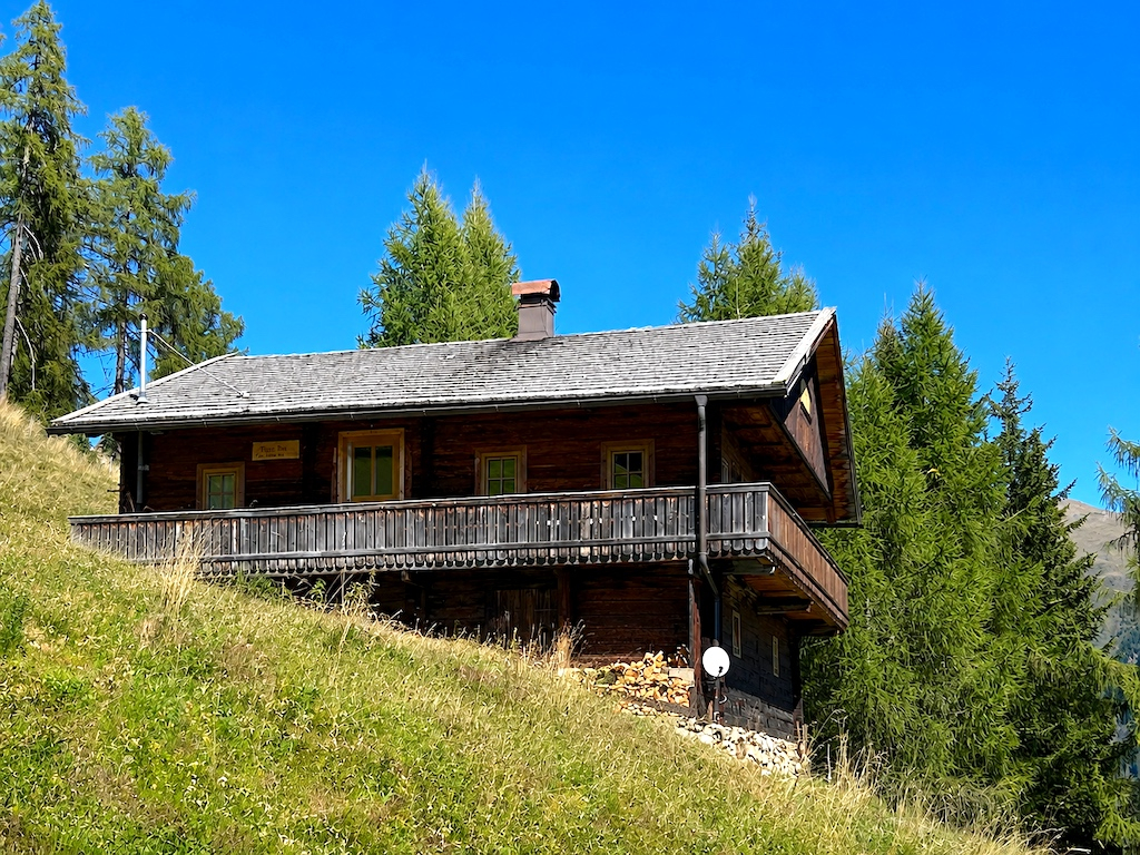
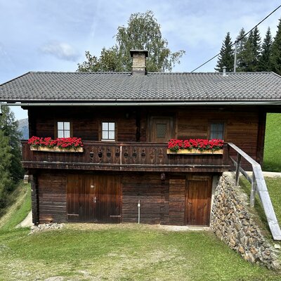
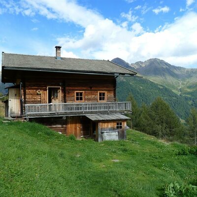
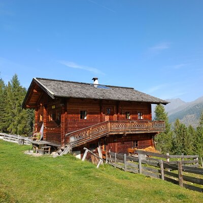
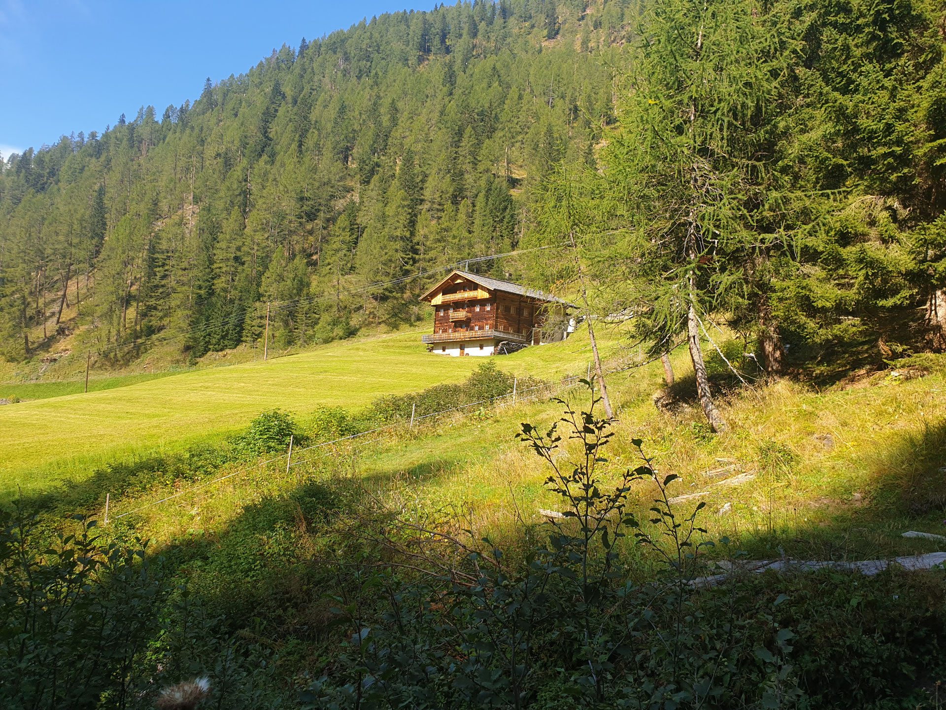




Curated by Osttirol Tourismus
Sillian
The market hub of the Hochpustertal on the young Drau near the Italian border, statistically among the sunniest places in Austria.
- 1Highlights
- 11Routes
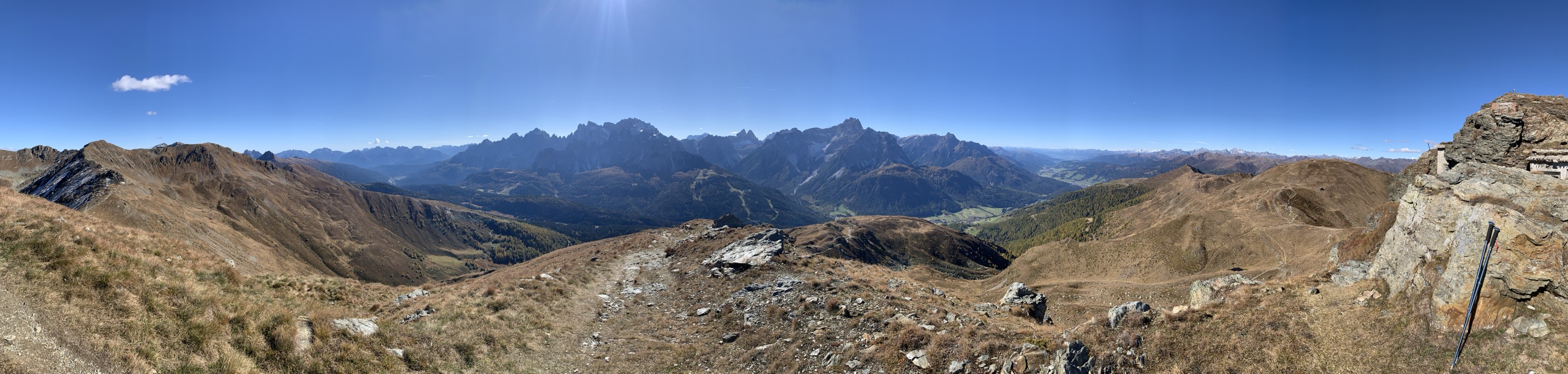
- Featured summit · Hornischegg - Monte Arnese
Highlights
14 from neighbouring places
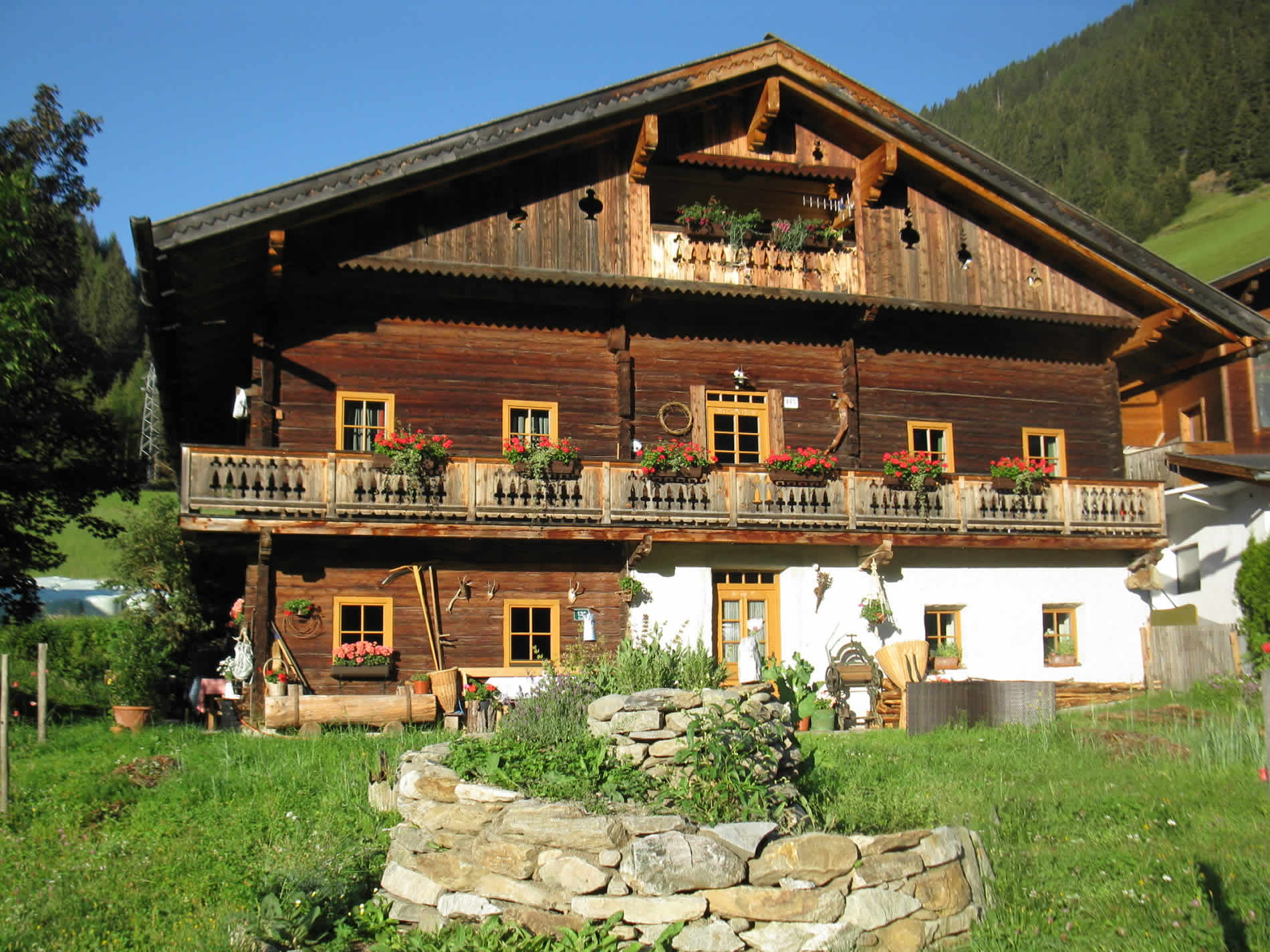
Riedlkaser
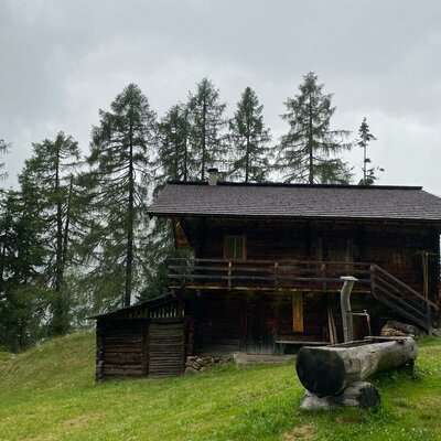
A small alm dairy hut, or Kaser, belonging to the Riedlhof above Sillian in the Hochpustertal.
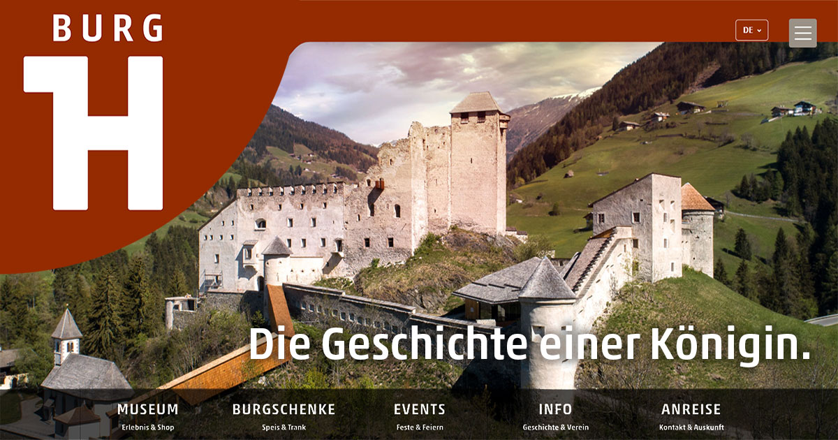
Burg Heinfels
3.4 km away, in Heinfels
A medieval castle above the Pustertal at Heinfels, reopened after restoration with exhibitions on the fortress and the region's history.
Rehblickhütte
3.7 km away, in Außervillgraten
A hut above Außervillgraten whose name means deer view, a quiet base in the Villgraten mountains.
Oberhoferalm Steidl
6 km away, in Innervillgraten
A family-run alm hut above Innervillgraten, part of the Villgraten valley's living tradition of high-pasture farming.
Lanzer Obheimat
6.2 km away, in Außervillgraten
A mountain hut above Außervillgraten whose name points to a farm's upper summer holding in the Villgraten mountains.
Außermitterwurzen
6.3 km away, in Außervillgraten
A remote alm hut above Außervillgraten, its name placing it among the Wurzen pasture holdings of the Villgraten mountains.
Gissekammer
6.7 km away, in Innervillgraten
A traditional hut in the high meadows above Innervillgraten, one of the many small alm buildings of the Villgraten valley.
Almhütte Thaletalm
8.4 km away, in Innervillgraten
An alm hut in the Thaletal pastures above Innervillgraten, a rustic base in the Villgraten mountains.
Alfenalm Maxer, Steidl Annemarie
8.7 km away, in Innervillgraten
One of the huts on the Alfen pastures above Innervillgraten, a traditional alm building of the Villgraten valley.
Alfenalm TSCHOGGLER - Schett Alban
8.7 km away, in Innervillgraten
The Tschoggler hut on the Alfen pastures above Innervillgraten, one of the valley's traditional alm buildings.
Almhütte Thalefeld - Lanser Erwin
8.8 km away, in Innervillgraten
A privately owned alm hut on the Thalefeld pastures above Innervillgraten, typical of the valley's scattered summer huts.
Badl-Alm 1.640 m
8.8 km away, in Innervillgraten
An alm hut at 1,640 m near Innervillgraten, a hospitable stop on walks through the Villgraten valley's high pastures.
Lehenalm
8.9 km away, in Außervillgraten
An alm hut in the pastures above Außervillgraten, a plain summer building of the Villgraten mountains.
Almhütte SCHMIDHOFALM
9.2 km away, in Innervillgraten
The alm hut of the Schmidhof farm above Innervillgraten, occupied through the summer grazing months.
Die Brandalm
9.8 km away, in Außervillgraten
An alm hut above Außervillgraten in the Villgraten valley, run through the summer season as a stop for walkers.
Nothing of this kind in Sillian.
Routes
3 Seen am Thurntaler
A short lake round at the Thurntaler above the Sillian lift station, connecting the Klammsee, the Schafsee and the Gadein tarn on easy high paths.
- 3.0 km
- Distance
- 167 m
- Ascent
- 1 h 11 min
- Duration
- 8
- Check-ins
 Gadein 2 093 m
 Klammsee 2 244 m
- Schafsee 2 260 m
Wanderung zur Sillianer Hütte
Hut hike on the Carnic crest above Sillian: drive to the Leckfeldalm, then climb past the Füllhornsee and over the Leckfeldsattel to the Sillianer Hütte on the Italian border.
- 5.9 km
- Distance
- 527 m
- Ascent
- 3 h 19 min
- Duration
- 73
- Check-ins
- Sillianer Hütte 2 455 m
 Leckfeldsattel - Sella di Confine 2 381 m
- Leckfeldalm 1 900 m
- Füllhornsee 2 339 m
Thurntaler 2.400
Full valley-to-summit climb of Sillian's local mountain — nearly 1,400 m up through forest and ski terrain to a 2,400 m panorama over the Hochpustertal.
- 14.1 km
- Distance
- 1 391 m
- Ascent
- 8 h 35 min
- Duration
- 18
- Check-ins
Skitour Hornischegg & Helm
Carnic ridge ski traverse above Sillian via the Sillianer Hütte, linking border tops between the Leckfeldsattel and the Helm — with the Sexten Dolomites across the valley.
- 9.6 km
- Distance
- 1 571 m
- Ascent
- 1 571 m
- Descent
- 5 h 16 min
- Duration
- 105
- Check-ins
Drauradweg
A gently descending stage on the river cycle path from San Candido through the Pustertal, following the Drau past Mittewald to Nikolsdorf.
- 63.2 km
- Distance
- 165 m
- Ascent
- 5 h 46 min
- Duration
- 25
- Check-ins
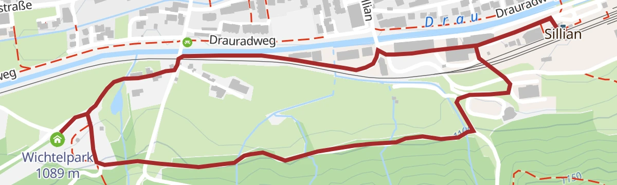
Wichtelmeile
Flat family mile from the Sillian station area through the Wichtelpark, where gnome-themed play stations line the riverside path — well suited to toddlers.
- 2.6 km
- Distance
- 32 m
- Ascent
- 41 min
- Duration
- 2
- Check-ins
Rund um den Thurntaler 2.400 m
Gondola-assisted circuit around Sillian's house mountain, from the top station over the Astatt Sattel and past Gadein, with a stop at the Thurntaler Rast.
- 9.8 km
- Distance
- 524 m
- Ascent
- 3 h 46 min
- Duration
- 12
- Check-ins
Heimkehrer Kreuz 2.373 m
From the Leckfeldalm a ridge path climbs to a memorial cross at 2,373 m on the Carnic crest, looking straight across to the Sexten Dolomites.
- 5.7 km
- Distance
- 456 m
- Ascent
- 2 h 56 min
- Duration
- 6
- Check-ins
Wanderung zur Leckfeldalm Hütte über Weg 471
Forest route 471 from the Sillian station area straight up the Carnic slope to the Leckfeldalm — a stiff 840 m of climbing that earns the alm bench.
- 8.9 km
- Distance
- 842 m
- Ascent
- 5 h 15 min
- Duration
- 6
- Check-ins
Wichtelwanderweg
Longer gnome-trail loop from the tourism office in Sillian, combining the Wichtelpark playground with field and forest paths above the young Drau.
- 9.7 km
- Distance
- 323 m
- Ascent
- 3 h 4 min
- Duration
- 6
- Check-ins
Eichhörnchenweg
Squirrel-themed forest walk climbing out of Sillian, with playful stations for children along shaded paths above the Hochpustertal.
- 7.9 km
- Distance
- 553 m
- Ascent
- 3 h 41 min
- Duration
- 4
- Check-ins
No routes of this kind in Sillian yet.
The region's own picks

Featured route
3 Seen am Thurntaler
A short lake round at the Thurntaler above the Sillian lift station, connecting the Klammsee, the Schafsee and the Gadein tarn on easy high paths.
Planning a trip to Sillian?
Everything else Tyrol has, in one place


Take Sillian with you into the mountains
Every route on this page with 3D terrain, GPX navigation and offline maps — including the valleys with no signal.
Data sources
- Official website: osttirol.com ↗
- Routes and highlights: Osttirol Tourismus
- Published as open data by the tourist boards named above.
- Region summary generated from the board's own material.
