
Curated by Vorarlberg Tourismus
Sibratsgfäll
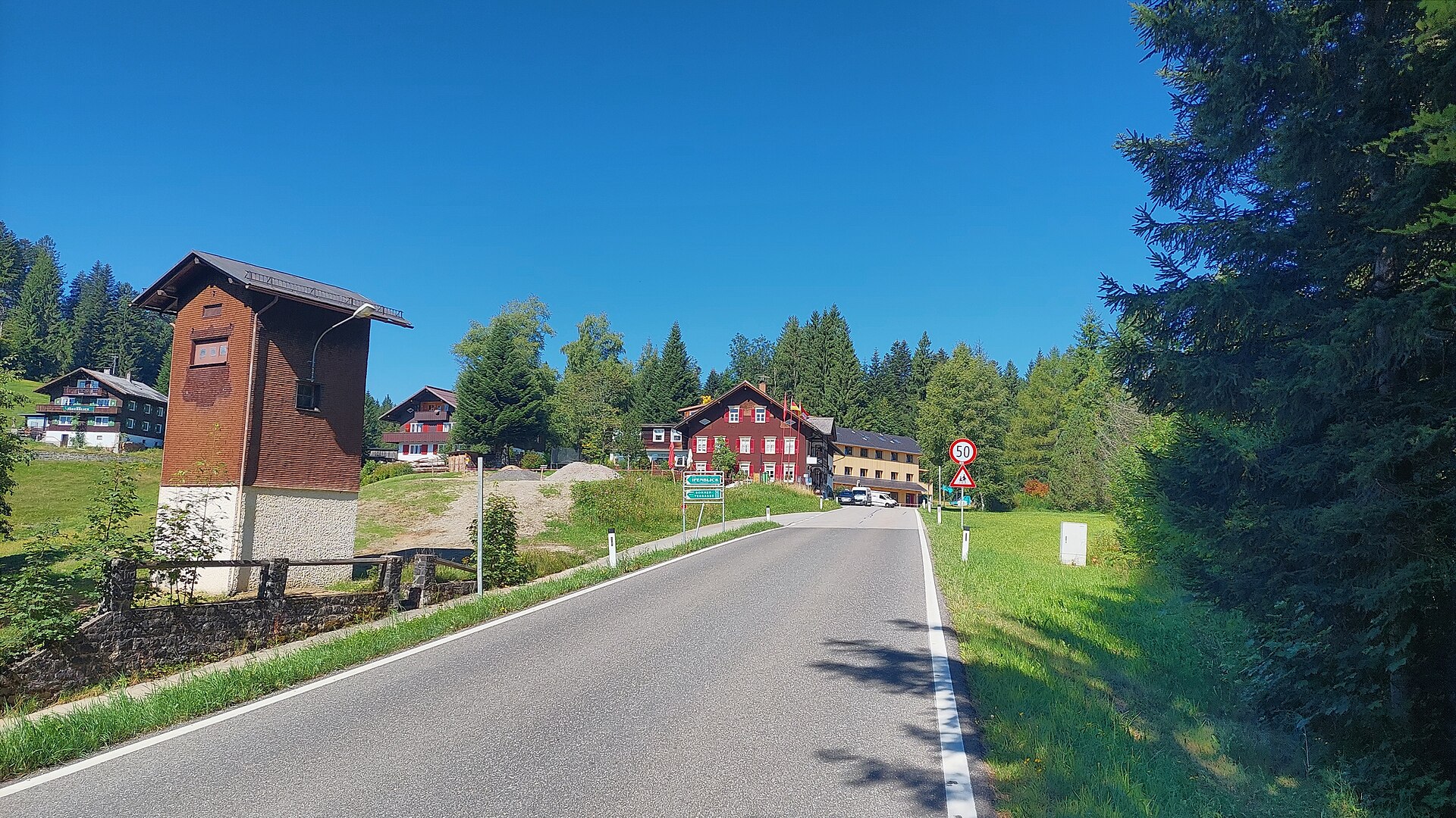
In a quiet side valley at 930 m, ringed by the Gottesackerwände and the Hoher Ifen, on ground that once slid away.
- 8Highlights
- 17Routes
Highlights
7 from neighbouring places
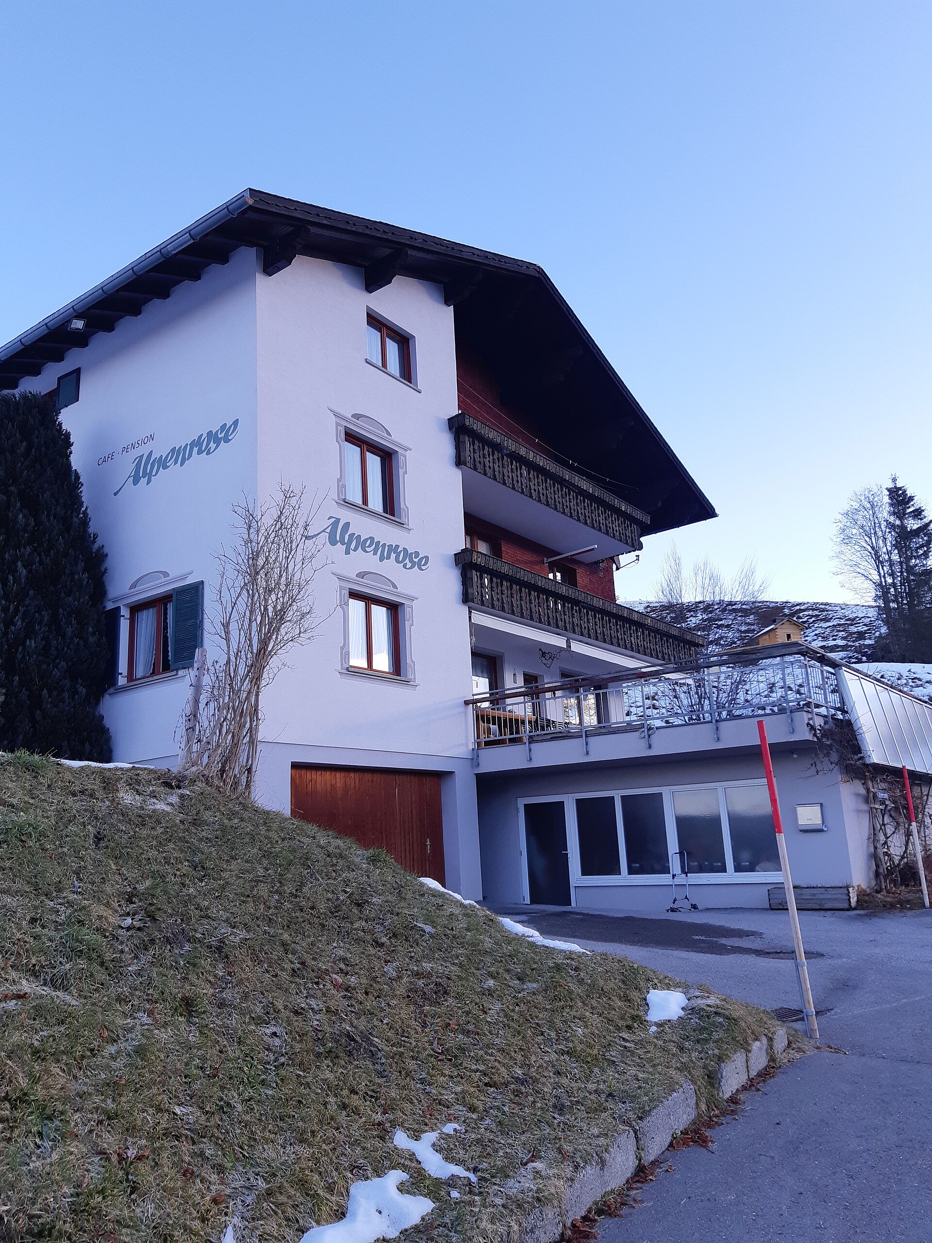
Alpenrose
An inn a kilometre and a half north of the village, where the Feuerstätterkopf ski tour begins.
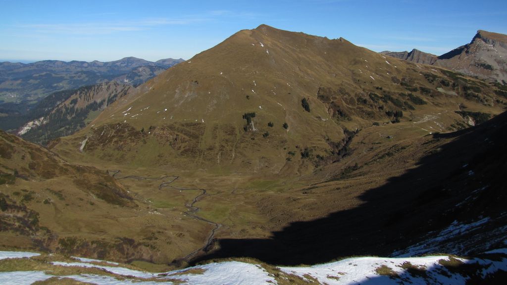
Feuerstätterkopf
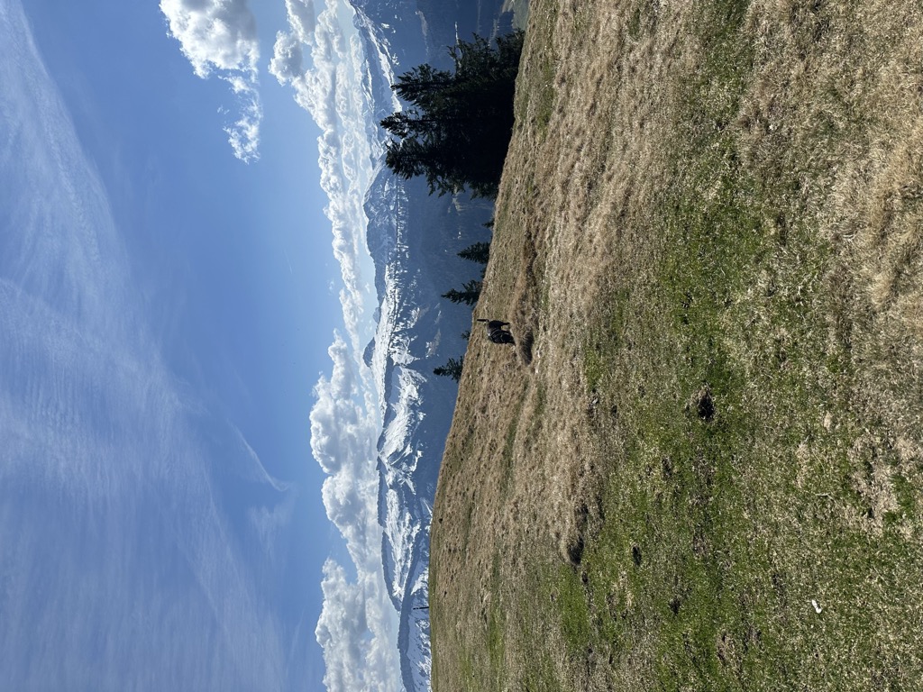
A 1,645 m mountain of the Allgäu foothills west of the Iller, between Balderschwang and the village.
Fugenalpe
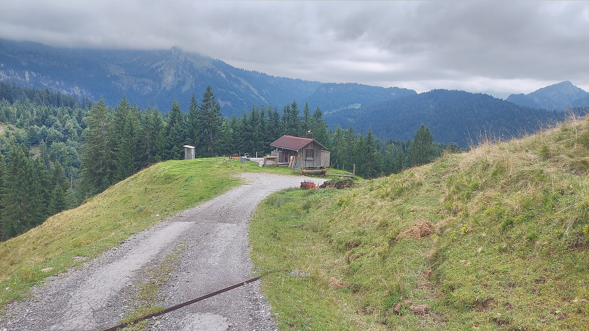
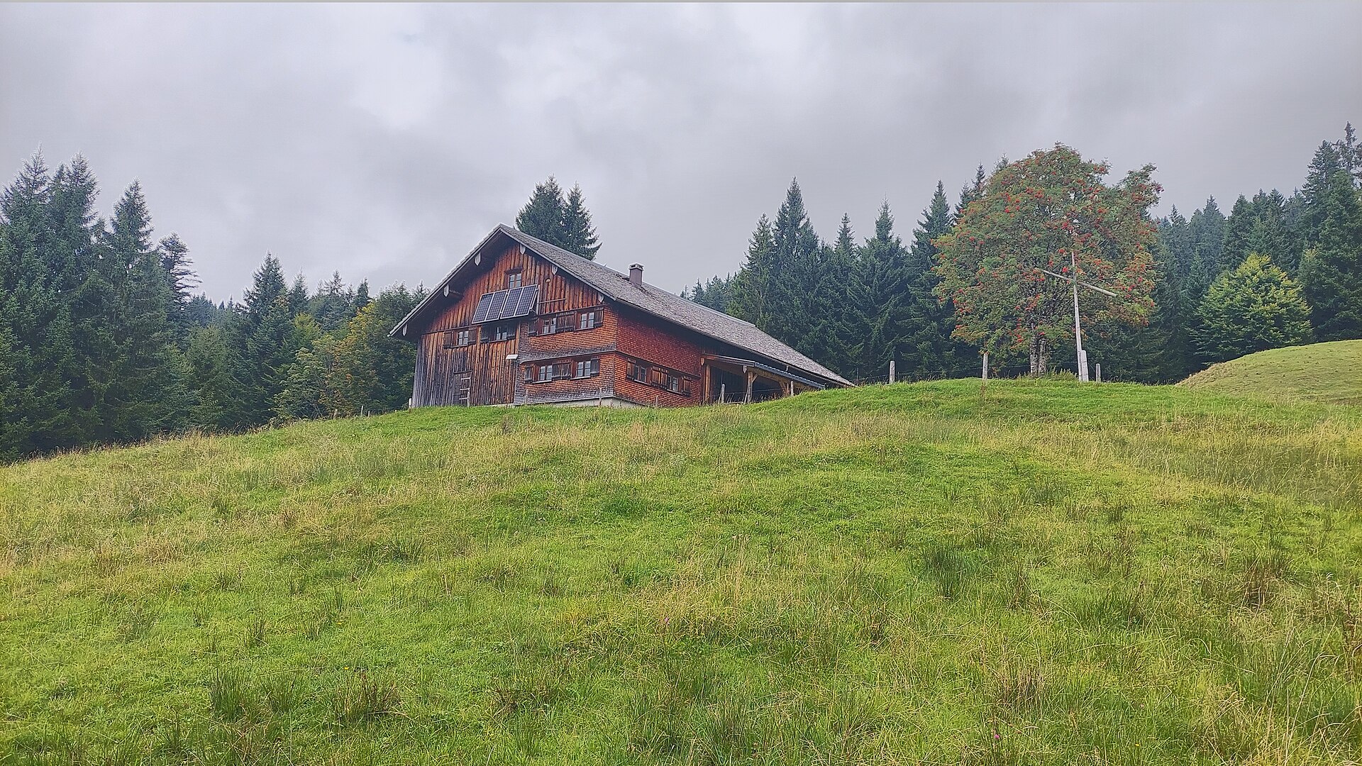
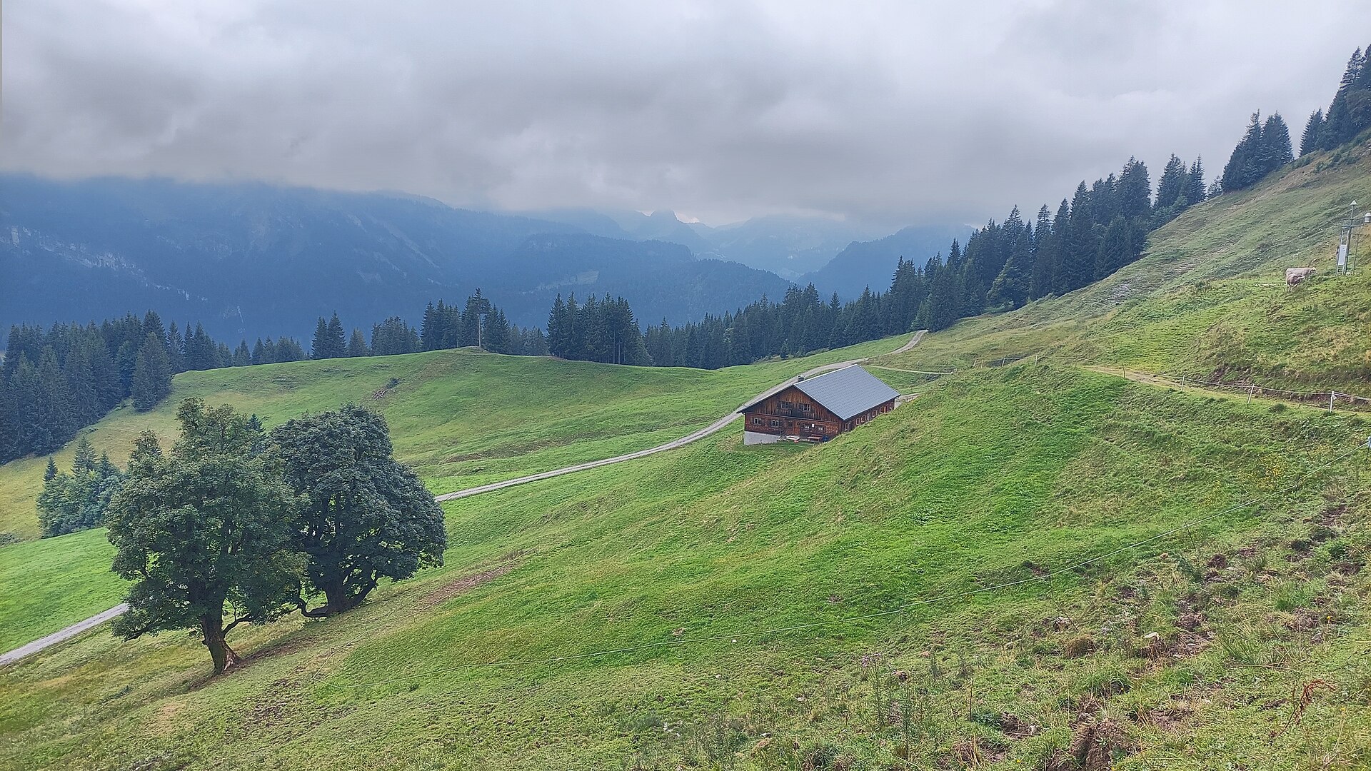
An alp on the pastures north-east of the village, one of three that lie within a kilometre of each other.
Grümpelalpe
An alp about 3 km north-east of the village, on the way up towards the Sättele pass.
Renkknie
A bare 1,411 m top about 4 km north of the village, reached in an hour from the valley.
Vögels Neualpe
The highest of the three alps on this side, standing a few hundred metres below the Sättele.
Sausteigpass
A crossing at 1,047 m north-west of the village, on the way towards the Renkknie.
Sättele
A pass on the boundary with Hittisau, its nearest settlement the German village of Balderschwang.
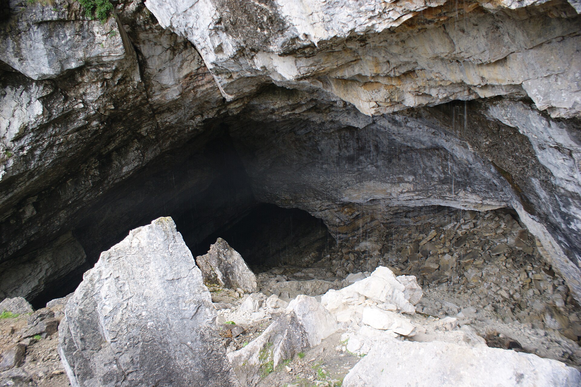
Schneckenlochhöhle
1.5 km away, in Egg
A large karst cave near Schönenbach, one of the biggest in Vorarlberg.
PeakVisor / OpenStreetMapBerlingersköpfle
3.8 km away, in Egg
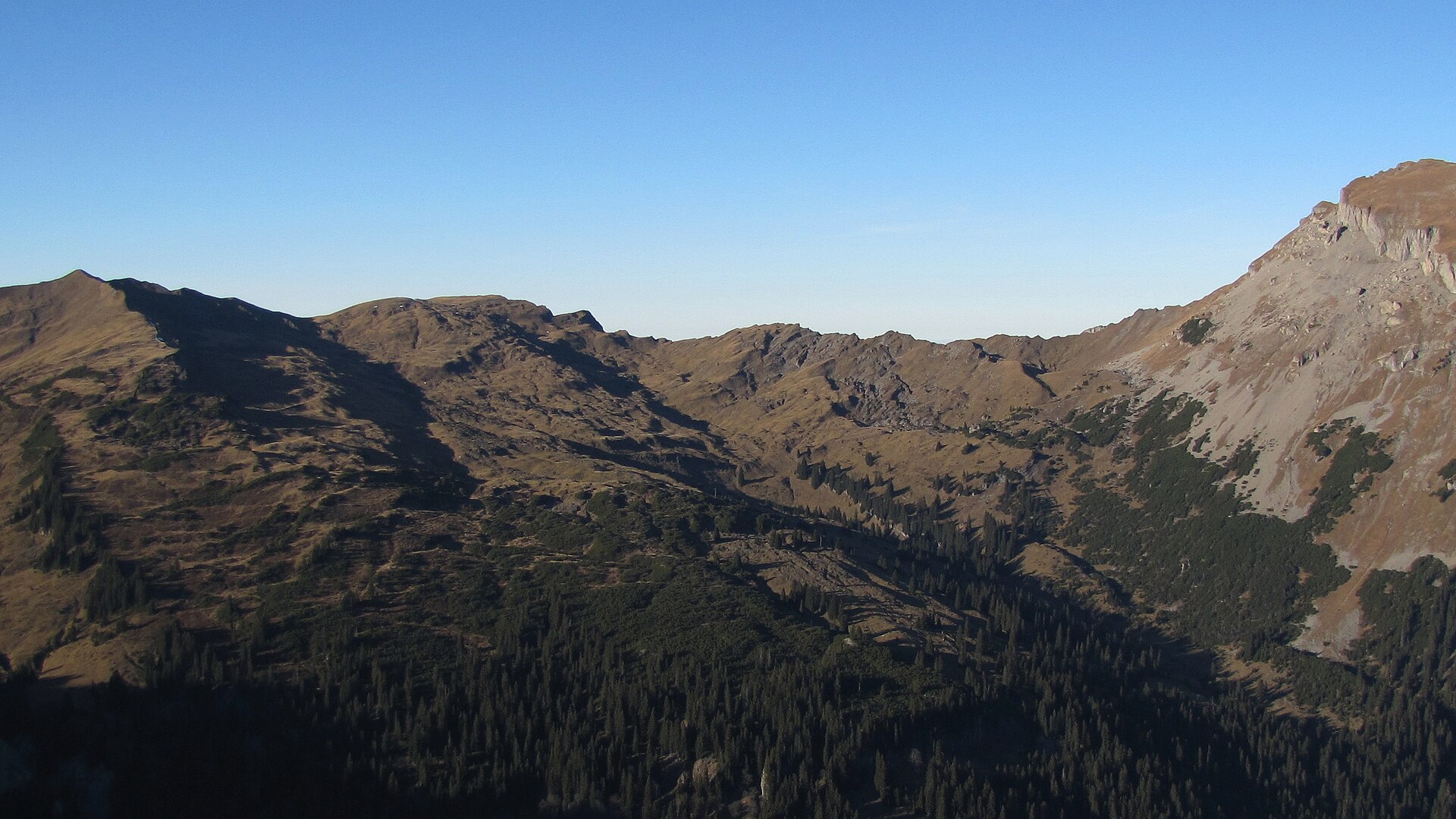
A 2,010 m secondary top of the Hählekopf in the Allgäu Alps, on the high ground south of Schönenbach.
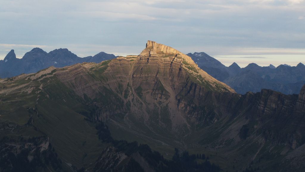
Hählekopf
4.6 km away, in Egg
A 2,058 m mountain of the Allgäu Alps, on the high ground between Schönenbach and the Kleinwalsertal.
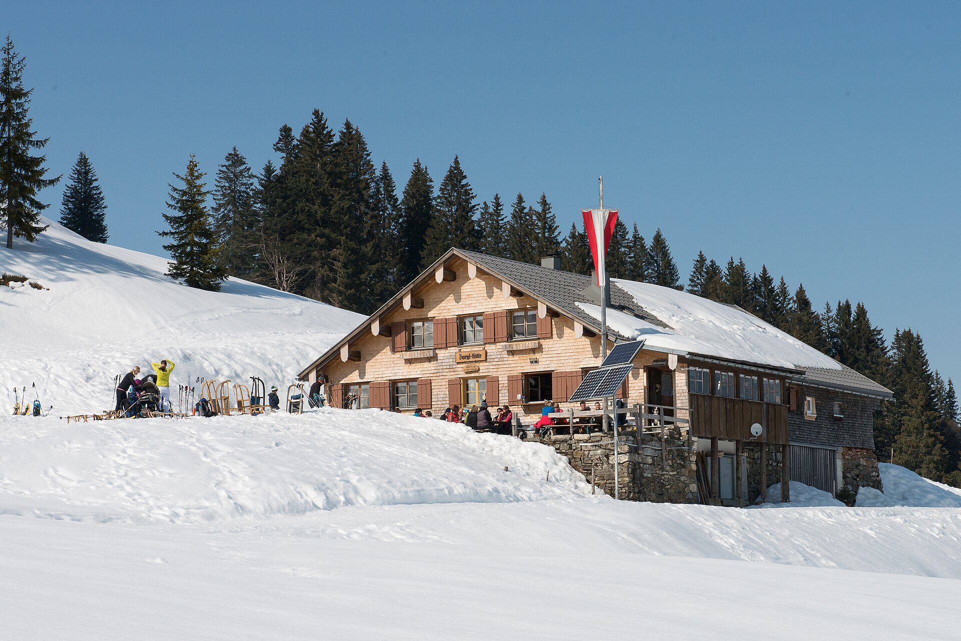
Burglhütte
5.4 km away, in Hittisau
A hut at 1,428 m on the high ground south-east of the village, in the Lecknertal alp country.
Winterstaude
7 km away, in Egg
A 1,877 m mountain south of Hittisau, its north side partly served by lifts and skied in winter.
Stongerhöhe
7.7 km away, in Egg
A 1,772 m top on the ridge that carries the Winterstaude, less than a kilometre from that summit.
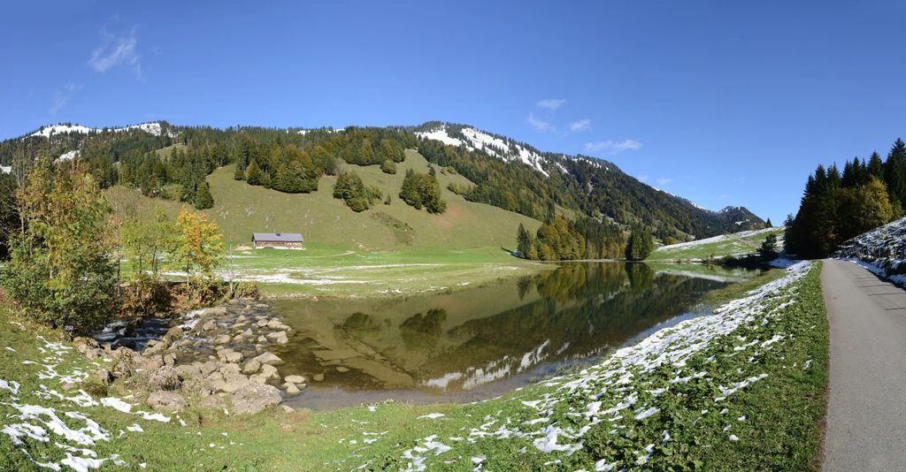 Natural feature Feel free to use my photos, but please mention me as the author and if you want send me a message. or (rufre@lenz-nenning.at) · CC BY-SA 3.0 at
Leckner See
10.1 km away, in Hittisau
A mountain lake of 1.75 hectares at 1,000 m in the Lecknertal, lying in the molasse zone.
 Mountain hut
 Mountain pass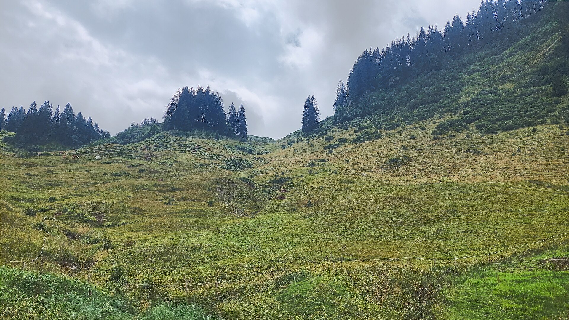
Nothing of this kind in Sibratsgfäll.
Routes
Sibratsgfäll | Georunde
The winter line of the Georunde at Rindberg, unprepared and passable only on snowshoes.
- 2.2 km
- Distance
- 120 m
- Ascent
- 51 min
- Duration
Open route Vorarlberg TourismusSibratsgfäll | Entlang der Subersach
One of six waymarked trails here, from the Krähenberg car park to the Iferalpe and across the Subersach.
- 10.5 km
- Distance
- 275 m
- Ascent
- 3 h 8 min
- Duration
Open route Vorarlberg TourismusMin Weag 06 | Sippersegg – Sibratsgfäll
A Min Weag stage over pasture and evergreen fir forest to the staffed Lappachalpe and on to Sibratsgfäll.
- 15.6 km
- Distance
- 700 m
- Ascent
- 5 h 26 min
- Duration
Open route Vorarlberg TourismusSibratsfgfäll - Hochrieskopf
From Sibratsfgfäll at 932 m, 521 m of ascent over 2.9 km to Hochrieskopf.
- 2.3 km
- Distance
- 0 m
- Ascent
- 0 m
- Descent
- 34 min
- Duration
Open route PeakVisor tTRL (OpenStreetMap piste_type=skitour)Sibratsgfäll | Skitour Feuerstätterkopf
A much-used ski tour beginning beside the Gasthaus Alpenrose, on easy slopes with no flat sections to the 1,645 m top.
- 3.0 km
- Distance
- 632 m
- Ascent
- 0 m
- Descent
- 1 h 43 min
- Duration
Open route Vorarlberg TourismusLingenau | Rund um die Subersach
A mountain-bike round over the Rotenberg selection forest to Hittisau and Sibratsgfäll, back by the Schetteregg alps.
- 33.9 km
- Distance
- 820 m
- Ascent
- 3 h 47 min
- Duration
Open route Vorarlberg TourismusSibratsgfäll | Georunde Rindberg
Thirteen stations at Rindberg showing what the ground did when the hillside here started to move.
- 4.3 km
- Distance
- 237 m
- Ascent
- 1 h 41 min
- Duration
Open route Vorarlberg TourismusSibratsgfäll | Iferalpe – Schönenbach
An easy round on made-up alp roads from the Krähenberg car park into the vorsäß country around Schönenbach.
- 13.3 km
- Distance
- 303 m
- Ascent
- 3 h 51 min
- Duration
Open route Vorarlberg TourismusSibratsgfäll | Zum schönsten Vorsäß – Sibratsgfäll-Schönenbach
A wild route through the Subersach gorge from Sibratsgfäll to the vorsäß village of Schönenbach and back.
- 15.5 km
- Distance
- 350 m
- Ascent
- 4 h 29 min
- Duration
Open route Vorarlberg TourismusSibratsgfäll | Gravelbike Vorderwald-Runde
The gravel version of the Vorderwald round, crossing the border in the alp country above the village.
- 24.2 km
- Distance
- 778 m
- Ascent
- 2 h 53 min
- Duration
Open route Vorarlberg TourismusSibratsgfäll | Lebensader Dorf
A very short village circuit about the connection between food, soil, nature and climate.
- 608 m
- Distance
- 10 m
- Ascent
- 10 min
- Duration
Open route Vorarlberg TourismusSibratsgfäll | Renkknie
A round to the bare summit of the Renkknie at 1,411 m, about an hour up from the Sausteig below the village.
- 9.5 km
- Distance
- 491 m
- Ascent
- 3 h 34 min
- Duration
Open route Vorarlberg TourismusSibratsgfäll | Vorderwald-Runde
A cross-border round in the alp country of Sibratsgfäll, opening through Rindberg where a large landslide moved in 1999.
- 24.4 km
- Distance
- 749 m
- Ascent
- 2 h 52 min
- Duration
Open route Vorarlberg TourismusSibratsgfäll | Tobelweg
An easy family walk on gravel paths and soft forest floor beside small streams to the Subersach floodplain.
- 2.9 km
- Distance
- 84 m
- Ascent
- 54 min
- Duration
Open route Vorarlberg TourismusSibratsgfäll | Rundwanderung Feuerstätterkopf
A round through the selection forest of Sibratsgfäll to the Feuerstätterkopf, with interactive stations along the way.
- 12.5 km
- Distance
- 756 m
- Ascent
- 5 h 14 min
- Duration
Open route Vorarlberg TourismusVorsäßgebiet & Naturpark Nagelfluhkette | Lingenau – Schetteregg – Sibratsgfäll – Lingenau
A mountain-bike route from Lingenau through the Schetteregg vorsäß country into the Nagelfluhkette nature park.
- 34.4 km
- Distance
- 811 m
- Ascent
- 3 h 49 min
- Duration
Open route Vorarlberg TourismusSibratsgfäll | Vom Ortszentrum auf den Feuerstätterkopf
From the village centre past the Hochegg and Hochries alps to the Feuerstätterkopf, a summit that is barely conspicuous.
- 12.2 km
- Distance
- 797 m
- Ascent
- 5 h 23 min
- Duration
Open route Vorarlberg Tourismus


No routes of this kind in Sibratsgfäll yet.
Planning a trip to Sibratsgfäll?
Everything else Vorarlberg has, in one place


Take Sibratsgfäll with you into the mountains
Every route on this page with 3D terrain, GPX navigation and offline maps — including the valleys with no signal.
Data sources
- Official website: bregenzerwald.at ↗
- Routes and highlights: Vorarlberg Tourismus, PeakVisor / OpenStreetMap, PeakVisor tTRL (OpenStreetMap piste_type=skitour)
- Published as open data by the tourist boards named above.
